Listed village · Gruyère
Grandvillard
Below the Vanil Noir, a Fribourg village where fourteen buildings are listed on the national heritage inventory and the Sarine marks the commune's boundary.
Grandvillard — Le Granvelâ in Fribourg patois — is a village and commune of canton Fribourg, in the district of La Gruyère. Fourteen of its buildings are listed on the national heritage inventory, and the village appears on the federal inventory of Swiss townscapes worth protecting (ISOS). The commune's territory, 2,416 hectares, runs from the banks of the Sarine to the Vanil Noir, the canton's highest point; 47.3% of its area remains farmland, 28.5% forest, only 3.9% built up.
The commune bought its freedom from mainmorte in 1388 for 350 gold florins, before obtaining, on 7 January 1439, a charter of liberties from Count François and his brother Jean. The present parish church, consecrated on 23 April 1603 by the bishop of Lausanne, replaced an older building; its choir was enlarged in 1786. A single-arch stone bridge has crossed the Sarine since 1641, its upkeep reserved to the commune. Since 2019 Grandvillard has belonged to the Most Beautiful Villages of Switzerland association; it counted 903 inhabitants in 2024.
The present church of Saint-Jacques dates from 1935-1937 and stands on the site of a sixteenth-century building. The Maison de Pierre de la Tinaz, known as the Maison du Banneret, built in the seventeenth century for a landowner and cheese merchant, keeps behind its carved-window façade a molasse stove dated 1664. The Maison Lucien Raboud, built in 1641 for the Zurich family, carries the monogram of Christ on its doors and windows. At La Daudaz, the chapel of Notre-Dame-de-Compassion dates from 1701; at the forest's edge, the Taouna waterfall has sheltered a grotto dedicated to Notre-Dame de Lourdes since 1958.
Why this place is remarkable
What the village shows is two continuities: that of a commune which bought its freedom in 1388 and obtained its charter in 1439, and that of a built heritage still standing — fourteen buildings on the national inventory, a church of 1603, a bridge of 1641, seventeenth-century houses with their stoves and carved façades. The commune's territory carries the same continuity: it runs from the banks of the Sarine to the Vanil Noir, the highest point of canton Fribourg.
History and origin
According to the geographical and historical dictionary of canton Fribourg published by Franz Kuenlin in 1832, the commune — then called Grand-villars — had bought its freedom from mainmorte as early as 1388 for 350 gold florins, Count Rodolphe of Gruyères renouncing his claim for himself and his heirs. The charter of liberties of 7 January 1439 was confirmed by the government in 1610 and again in 1613. The present church, consecrated on 23 April 1603 by bishop of Lausanne Jean-Dorothée, replaced an older chapel dedicated to Saint James and Saint Bartholomew; its choir was enlarged in 1786.
What to do and see
- Walk through the village where fourteen buildings are listed on the national inventory and the site is registered with ISOS.
- Cross the single-arch stone bridge that has spanned the Sarine since 1641.
- Observe the Maison de Pierre de la Tinaz, known as the Maison du Banneret, and its molasse stove dated 1664 behind a facade with carved windows.
- Reach the Taouna waterfall, at the edge of the forest, and its grotto dedicated to Our Lady of Lourdes since 1958.
Coming with family: what to know
- The municipal territory stretches from the banks of the Sarine up to the Vanil Noir, the highest point in the canton of Fribourg.
As a couple
- Stroll through a village that bought its freedom in 1388 and obtained its charter in 1439.
- Cross together the single-arch stone bridge that has spanned the Sarine since 1641.
- End the walk at the Taouna waterfall, at the edge of the forest.
Location
Loads an interactive Google Maps view on demand, from the place's verified coordinates.
The embedded map will be enabled once an authorized Google Maps key is configured. Use the link above in the meantime.
The map could not load. Check your connection or use the link above to open the place in Google Maps.
Related places
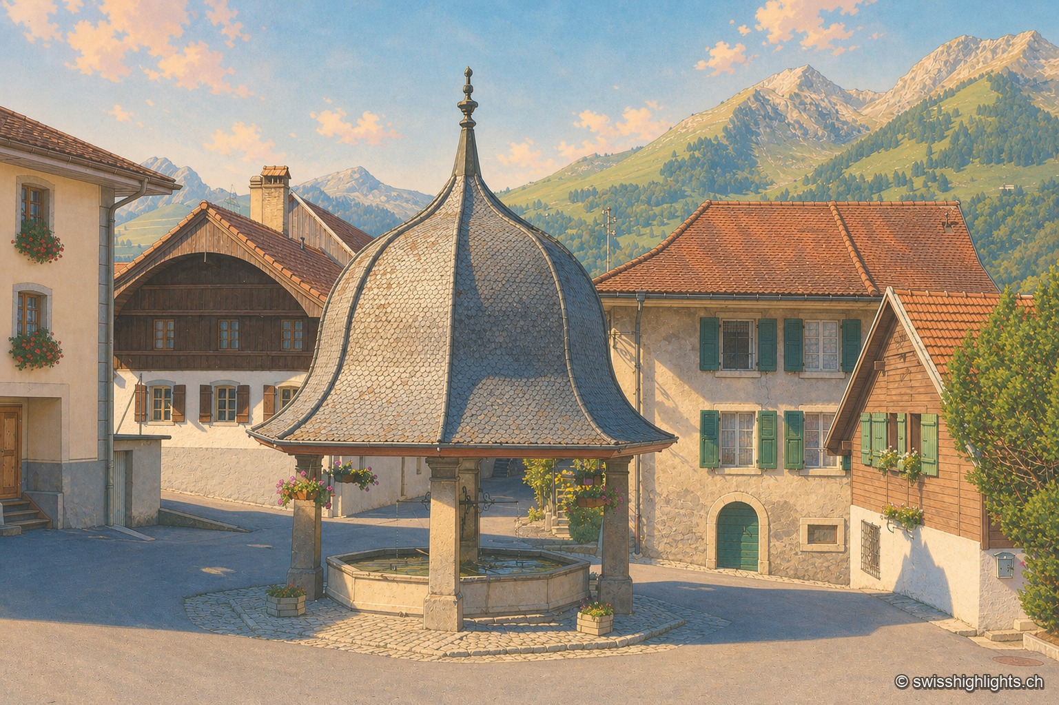
Gruyère village · Fribourg · 4 km as the crow flies
Lessoc
Recorded from 1115, Lessoc broke away from the parish of Grandvillard only in 1643. Its church and its octagonal fountain of 1796 are built of the grey-white limestone veined with green quarried on the spot, the Lessoc 'marble'.
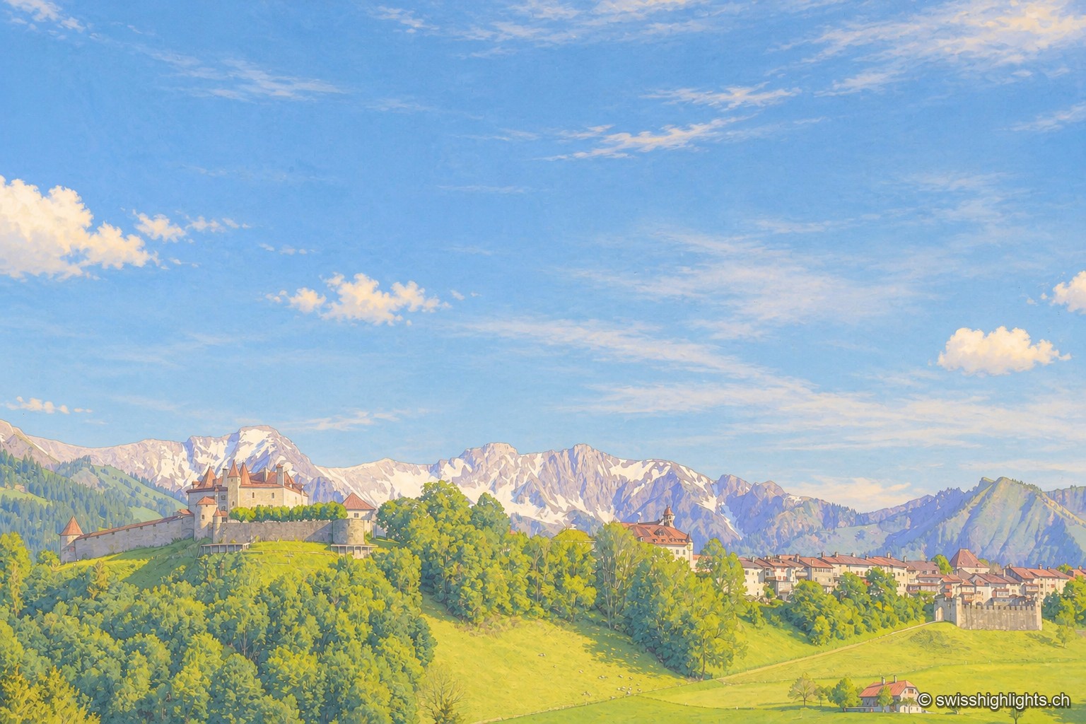
Medieval small town · Fribourg · 6 km as the crow flies
Gruyères
2,339 inhabitants, a castle shaped by eight centuries of building, a museum of Tibetan art and another devoted to H. R. Giger: Gruyères sits on a rocky spur, its territory ranging between 693 and 2,002 metres.
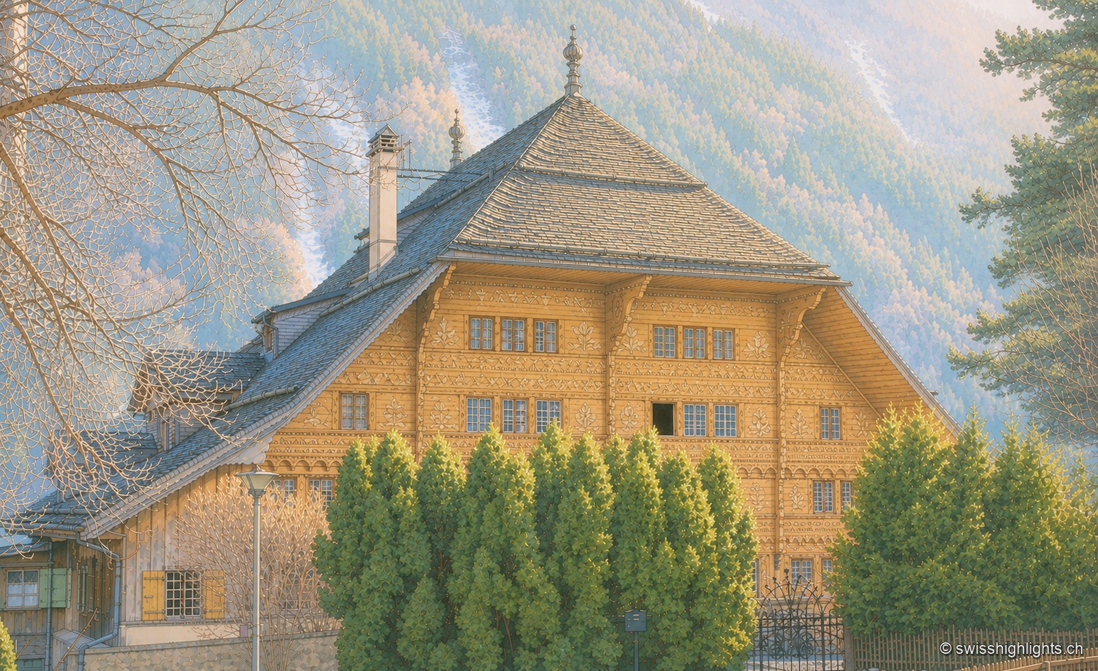
Village in the Pays-d'Enhaut · Vaud · 7 km as the crow flies
Rossinière
The Grand Chalet, 113 windows built for David Henchoz between 1752 and 1756, housed the painter Balthus until his death in 2001. Rossinière has 499 residents at the end of 2024; its population grew 4.1% since 2010, against 18.6% in Vaud.