Medieval small town · Fribourg
Gruyères
A medieval town perched on a rocky spur above the Sarine, in the canton of Fribourg, between its castle and the museums around it.
Gruyères lies in the district of La Gruyère, in the canton of Fribourg, 33 km from the city of Fribourg and 5 km from Bulle, at the entrance to the Intyamon valley. The municipality covers 28.38 km²: 5.5% housing and infrastructure, 40.5% farmland, 49.9% forest and 4.1% unproductive ground. Besides the medieval town, it includes the villages of Pringy and Épagny, the hamlets of Le Pont and Saussivue, and the resort of Moléson-sur-Gruyères; it borders Bas-Intyamon, Broc, Bulle, Haut-Intyamon, Le Pâquier, Semsales, Val-de-Charmey, Vaulruz and Vuadens.
The medieval town stands on a rocky spur overlooking the Sarine valley, at about 800 m; below, on the plain, Pringy sits at 750 m and Épagny at 715 m, while the resort of Moléson-sur-Gruyères rises to about 1,130 m, at the foot of the Moléson, whose summit — the commune's highest point — reaches 2,002 m, against the lowest point, the Sarine near Broc, at 693 m. The Albeuve torrent, rising on the flanks of the Moléson, crosses the commune west to east before joining the Trême near Épagny; the Sarine itself cuts through it south to north for a few hundred metres, spanned by the covered bridge known as the 'Pont qui Branle'. A railway station, on the metre-gauge line from Palézieux via Bulle to Montbovon, connects Gruyères to Fribourg via Bulle and to Montreux via Montbovon.
First recorded as a market town in 1195, Gruyères developed under Count Rodolphe I of Gruyère, not far from a 3rd-century Roman villa and necropolis at Épagny, and took over from Château-d'Œx as the county seat. Count Rodolphe III enlarged the town around the castle and founded the church of Saint-Théodule in May 1254; in 1397, under Count Rodolphe IV, the town received its franchises. It now counts 2,339 inhabitants as of 31 December 2024, a density of 82 per km²; between 2010 and 2023 its population grew by 28.6%, against 22.6% for the canton and 9.4% for Switzerland.
On its hill, Gruyères keeps a medieval and Renaissance heritage: the castle, a set of fortifications with ramparts and a belluard, the church of Saint-Théodule consecrated in 1254, the Chapelle du Berceau built in 1612 after a plague epidemic, and the former Charterhouse of La Part-Dieu, founded in 1307. The Castle Museum guides visitors through eight centuries of architecture; the Tibet Museum, devoted to Tibetan Buddhist art, opened in 2009; 'La Maison du Gruyère' traces the making of the AOP cheese that carries the place's name, and the H. R. Giger Museum, housed in the Château Saint-Germain, is devoted to the creator of the Alien xenomorph. Since 2016 the village has belonged to the association of the Most Beautiful Villages of Switzerland; in 2021 it received the Best Tourism Villages label from the World Tourism Organization.
Why this place is remarkable
Gruyères stands on a rocky spur overlooking the Sarine valley, its territory ranging from 693 m at its lowest point to 2,002 m at the summit of the Moléson. Its castle, shaped by eight centuries of building, stands beside two museums that nothing seemed destined to bring together: Tibetan Buddhist art and H. R. Giger's creatures for Alien. The place's name is also that of an AOP cheese, traced at La Maison du Gruyère, and the village has ranked, since 2016, among the Most Beautiful Villages of Switzerland.
History and origin
First recorded as a market town in 1195, Gruyères developed under Count Rodolphe I, not far from a 3rd-century Roman villa and necropolis at Épagny, and took over from Château-d'Œx as the county seat. Rodolphe III enlarged the town around the castle and founded the church of Saint-Théodule in May 1254; in 1397, under Rodolphe IV, the town received its franchises. A charterhouse was established at La Part-Dieu in 1307, and the Chapelle du Berceau was built in 1612 after a plague epidemic.
What to do and see
- Walk through the medieval town on its rocky spur, between the castle, the ramparts and the belluard.
- Visit the Castle Museum for its eight centuries of architecture, then compare it with the Tibet Museum or the H. R. Giger Museum housed in the Saint-Germain castle.
- Cross the Sarine on the covered bridge known as the "Pont qui Branle" and stop at the Maison du Gruyère for the making of AOP cheese.
- From Épagny or Pringy, locate in the landscape the summit of the Moléson, the highest point of the municipality at 2,002 metres.
Coming with family: what to know
- The village is built on a hill with steep, cobbled lanes: sturdy shoes serve young children better here than a stroller.
- The H. R. Giger Museum, devoted to the creator of the Alien xenomorph, may not suit all ages.
As a couple
- Stroll along the ramparts of the medieval town in the evening, between castle and belluard.
- Pause on the covered bridge known as the "Pont qui Branle", which crosses the Sarine at the entrance of the town.
- Visit together the contrast of the two neighbouring museums, Tibetan Buddhist art and the world of H. R. Giger.
Location
Loads an interactive Google Maps view on demand, from the place's verified coordinates.
The embedded map will be enabled once an authorized Google Maps key is configured. Use the link above in the meantime.
The map could not load. Check your connection or use the link above to open the place in Google Maps.
Related places
Listed village · Gruyère · 6 km as the crow flies
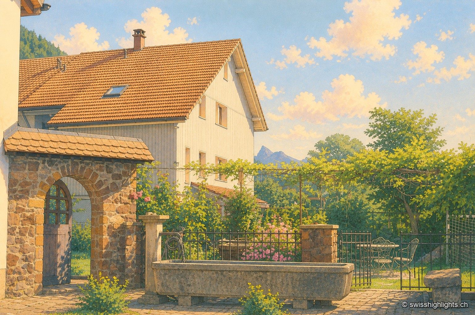
Grandvillard
Freed from mainmorte in 1388, the commune obtained its charter of liberties in 1439. The present church was consecrated in 1603, the bridge over the Sarine built in 1641. Since 2019, among the Most Beautiful Villages of Switzerland.
Gruyère village · Fribourg · 9 km as the crow flies
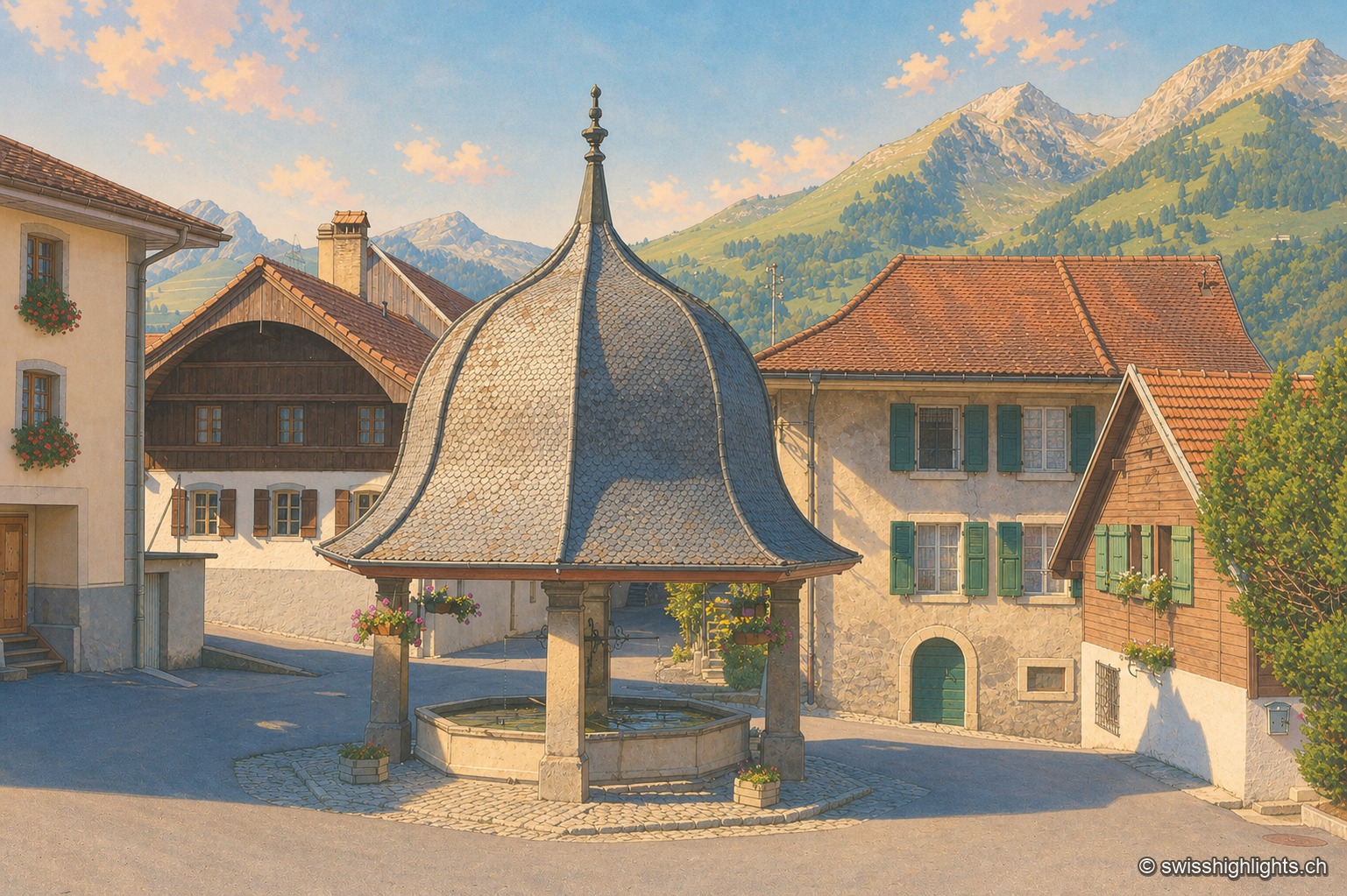
Lessoc
Recorded from 1115, Lessoc broke away from the parish of Grandvillard only in 1643. Its church and its octagonal fountain of 1796 are built of the grey-white limestone veined with green quarried on the spot, the Lessoc 'marble'.
Village in the Pays-d'Enhaut · Vaud · 13 km as the crow flies
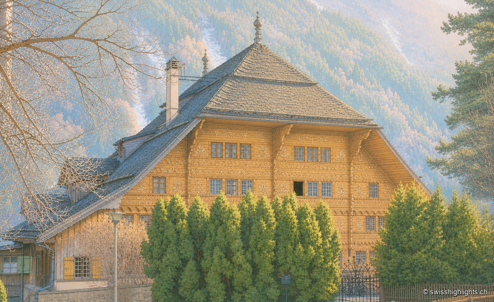
Rossinière
The Grand Chalet, 113 windows built for David Henchoz between 1752 and 1756, housed the painter Balthus until his death in 2001. Rossinière has 499 residents at the end of 2024; its population grew 4.1% since 2010, against 18.6% in Vaud.