Gruyère village · Fribourg
Lessoc
A village of the Intyamon whose square carries a fountain of 1796 capped with a bulb set on stone piers, the last example of its kind.
Lessoc holds the flank of the Intyamon, the valley by which the Sarine comes down towards the Gruyère, a little over 800 metres above sea level. Its houses crowd around a square where an octagonal fountain stands: it dates from 1796, carries a bulb set on stone piers — a form of which no other surviving example is known — and a legend has attached itself to that roof. An independent village until 2002, Lessoc joined Albeuve, Montbovon and Neirivue that year in the commune of Haut-Intyamon.
Stone explains part of the village. Several quarries were worked here, one of them for tufa, but the best known yielded what is called locally the Lessoc 'marble': a grey-white limestone veined with green, used for building in the village and in the region, and from which the fountain on the square is cut. The church of Saint Martin, raised between 1627 and 1635, opens through a porch-tower and holds furnishings of the 19th century. North of the village, at the place called le Buth, the chapel of the Roc — or Notre-Dame-des-Neiges — is an octagonal building of 1684 with a Baroque altar; the Grange-Neuve farm beside it bears the date 1688.
The name is Lecho in the Fribourg dialect and has varied a great deal: Lessoz in 1231, Les Soz in 1237, Lessot around 1352; a pre-Roman origin is judged likely. In the Middle Ages the place belonged to the county of Gruyère, under the banner and castellany of Montsalvens. The lords of Corbières, who held many goods here in the 12th century, ceded them in 1278 to Pierre II of Gruyère. Freed from mortmain in 1396, the inhabitants obtained their own justice, which remained dependent on the banneret of Gruyères.
Why this place is remarkable
Lessoc can be read in its stone and in its square. The local quarry yielded a grey-white limestone veined with green that reappears in the village walls and across the region, and it is from that stone that the octagonal fountain on the square was cut in 1796 — capped with a bulb on piers, a form of which no other example survives. The village also took close to two centuries to obtain its parish: demanded from the end of the 16th century, the separation from Grandvillard came about only in 1643.
History and origin
The first mention of Lessoc appears in the Rougemont charter of 1115, which records the gift, by Count Wilerius to the priory of Rougemont, of land belonging to a serf named Martinus del Suc. A chapel dedicated to Saint Martin, near the present church, is attested from 1365. The village depended first on the parish of Broc, probably until the 12th century, then on that of Grandvillard, from which it sought to detach itself from the end of the 16th century; the separation became effective only in 1643, when the church was built. The source contradicts itself on this point: elsewhere it dates the building to 1627-1635.
What to do and see
- See the octagonal fountain on the square, carved in 1796 from local limestone and topped with a bulb resting on stone piers, a shape with no other surviving example.
- Visit the Church of Saint Martin, built between 1627 and 1635, with a porch-tower.
- Reach, at the place called Le Buth, the Chapel of the Rock — or Notre-Dame-des-Neiges — an octagonal building from 1684 with a baroque altar.
- Spot, next to the chapel, the Grange-Neuve farmhouse dated 1688.
Coming with family: what to know
- The village is walked between the square and the nearby chapel, with no indication of difficult terrain in the source.
As a couple
- The octagonal fountain on the square, a unique piece of its kind carved from Lessoc's 'marble'.
- The Church of Saint Martin and its 17th-century porch-tower.
- The Chapel of the Rock, away from the village, for its baroque altar and octagonal shape.
Location
Loads an interactive Google Maps view on demand, from the place's verified coordinates.
The embedded map will be enabled once an authorized Google Maps key is configured. Use the link above in the meantime.
The map could not load. Check your connection or use the link above to open the place in Google Maps.
Related places
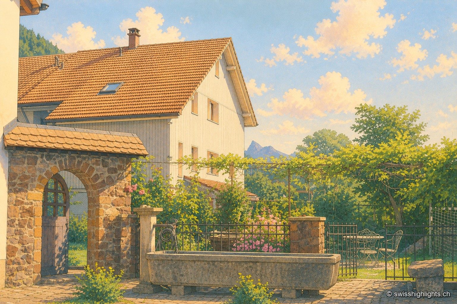
Listed village · Gruyère · 4 km as the crow flies
Grandvillard
Freed from mainmorte in 1388, the commune obtained its charter of liberties in 1439. The present church was consecrated in 1603, the bridge over the Sarine built in 1641. Since 2019, among the Most Beautiful Villages of Switzerland.
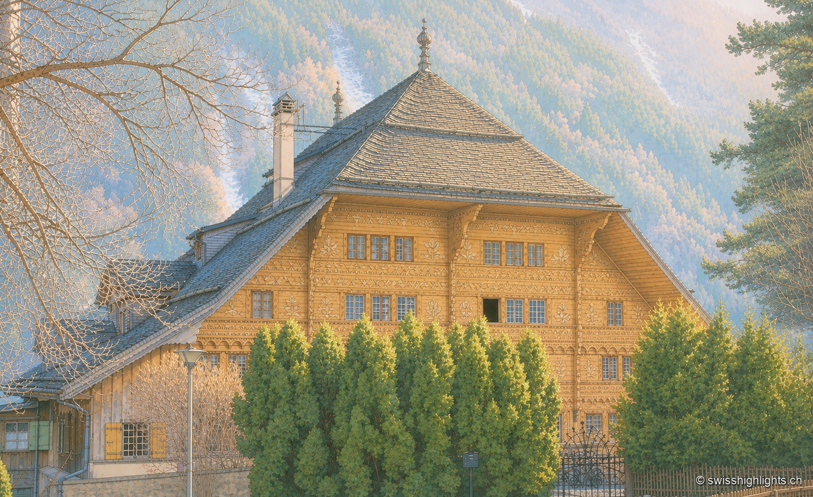
Village in the Pays-d'Enhaut · Vaud · 5 km as the crow flies
Rossinière
The Grand Chalet, 113 windows built for David Henchoz between 1752 and 1756, housed the painter Balthus until his death in 2001. Rossinière has 499 residents at the end of 2024; its population grew 4.1% since 2010, against 18.6% in Vaud.
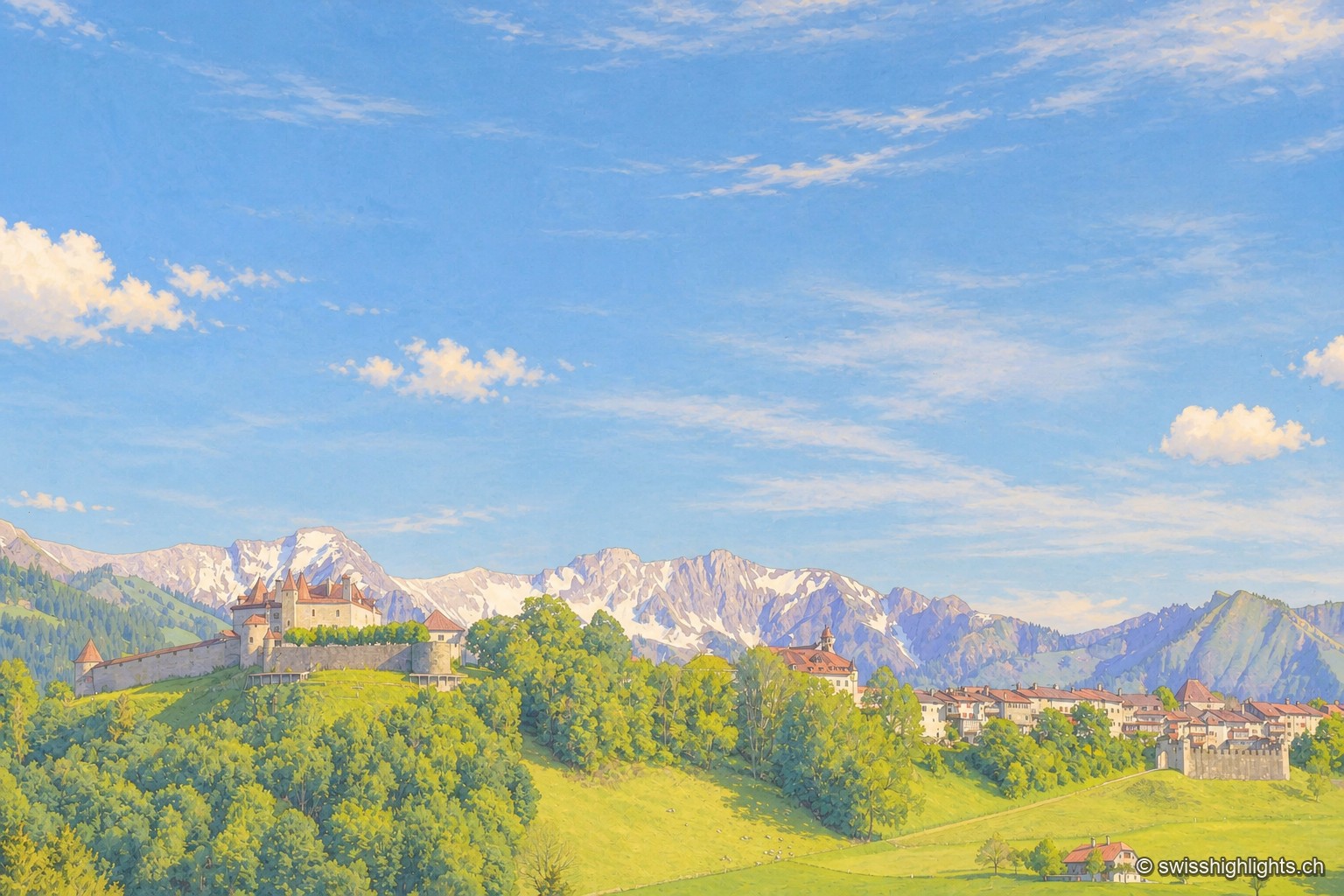
Medieval small town · Fribourg · 9 km as the crow flies
Gruyères
2,339 inhabitants, a castle shaped by eight centuries of building, a museum of Tibetan art and another devoted to H. R. Giger: Gruyères sits on a rocky spur, its territory ranging between 693 and 2,002 metres.