Town · Ajoie, canton of Jura
Porrentruy
On the Allaine, in the far north-west of Switzerland: the town housed the court of the prince-bishops of Basel after 1528, and until 1828.
Porrentruy occupies the valley of the Allaine, at the far north-west of Switzerland, in the Ajoie; the river runs on towards the Doubs. The commune covers 14.75 km², 40.2% of it woodland and 34.5% farmland, and the town sits at 423 metres between two rises: the height of the castle, which looks down on the roofs, and the southern hill where a chapel already stood after 1233, on the site of today's church of Saint-Pierre.
The town owes its shape to an exile. When Basel turned to the Reformation in 1528, the prince-bishops moved their residence here, at first called provisional; officially it stayed until 1828, the year the see went to Solothurn. Three centuries of an episcopal court left a modest town with a castle, a Jesuit college, an hôtel-Dieu, a town gate and three historic fountains — the Samaritan, the Swiss, the Golden Ball. The commune received the Wakker Prize in 1988.
Before the bishops, Porrentruy had already changed hands more often than most: franchises granted by Rudolf of Habsburg in 1283, pledges and sales between the bishopric of Basel, the counts of Montbéliard and the Württembergs, until the Ajoie returned to the bishop in 1461. On 28 April 1792 General Custine's troops entered the town; it became the capital of the short-lived Rauracian Republic, then the seat of the French département of Mont-Terrible in 1793. The Congress of Vienna gave it back to Switzerland in 1815, but inside the canton of Bern: hence the Jura question, which found only a partial answer in 1979, with a canton of Jura whose capital fell to Delémont.
The wild boar, for its part, has not moved: it holds the coat of arms, stands as a statue in front of the town hall and still runs the woods nearby. A local legend has it clear the rampart in a single bound before falling at the foot of the steps — enough to persuade the council to raise the walls, and enough to earn the animal its place on the shield. Since 2016 the town has had a museum of optical art, the POPA, and since 2017 it has belonged to the association Les Plus Beaux Villages de Suisse.
Why this place is remarkable
Porrentruy carries the fittings of a capital without ever having had the size. Because the Reformation drove the prince-bishops out of Basel in 1528, a small town in the Ajoie housed their court until 1828: hence the castle, the Jesuit college, the hôtel-Dieu and the fountains, for 6,574 inhabitants on 31 December 2024. It is that gap between rank and number that strikes first from the height of the castle.
History and origin
The name resists. Two readings stand side by side without being settled: the Latin pons joined to a Germanic woman's name of the Ragintrudis type — Ragnetrude's bridge — or a Germanic brunntrutt, 'abundant spring'. The oldest mentions are not dated the same way from one passage to the next: 1136 for the written forms Punrentrut and Purrentru, between 968 and 1148 for the first historical mentions. Occupation of the site is older still: a Gallo-Roman temple was uncovered in 1983 near the En Solier cemetery.
What to do and see
- Climb up to the castle to overlook the town's rooftops and gauge the gap between its former rank as an episcopal residence and its present size.
- Seek out the town's three historic fountains — the Samaritaine, the Suisse, and the Boule dorée.
- Spot the boar statue in front of the town hall, an animal that has featured on the coat of arms since the legend of the leap over the ramparts.
- Visit the POPA museum, devoted to optical art, open since 2016.
Coming with family: what to know
- The town lies between two rises, the castle height and the southern hill of the church of Saint-Pierre: plan for an uphill walk with young children.
As a couple
- Wander between the castle, the Jesuit college and the hôtel-Dieu, inherited from three centuries of episcopal court between 1528 and 1828.
- Search together for the town's three historic fountains scattered through the old town.
- Stop at the church of Saint-Pierre, on the southern hill where a chapel already stood after 1233.
Location
Loads an interactive Google Maps view on demand, from the place's verified coordinates.
The embedded map will be enabled once an authorized Google Maps key is configured. Use the link above in the meantime.
The map could not load. Check your connection or use the link above to open the place in Google Maps.
Related places
Medieval small town · Jura · 8 km as the crow flies
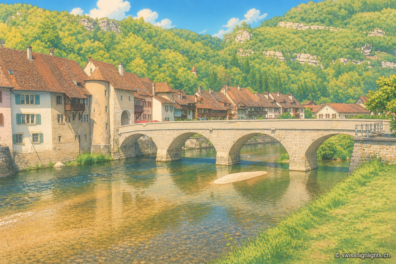
Saint-Ursanne
Born around a Benedictine abbey, it keeps its Romanesque collegiate church, its cloister and burgher houses from the 14th to the 16th century. At 440 metres, between wooded cliffs and river, it left its isolation only in 1877.
Castle village · Ajoie · 10 km as the crow flies
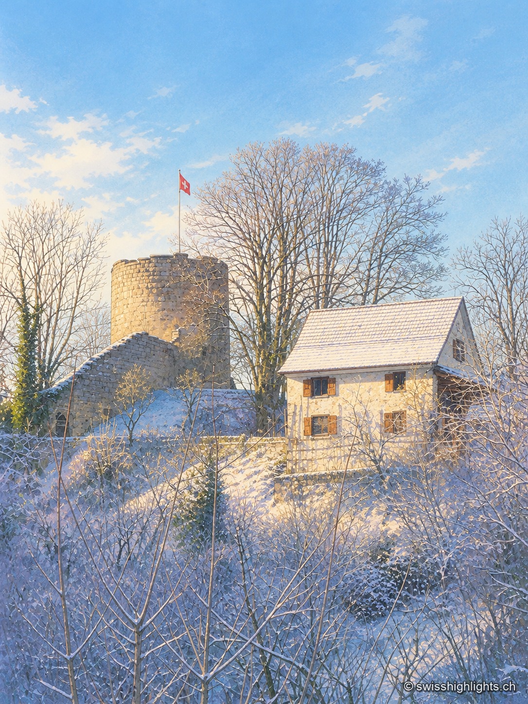
Pleujouse
At 580 metres, between forested heights, Pleujouse amounts to one street. The village formed around its fortress, which passed to the bishopric of Basel at the end of the 14th century and was rebuilt after the fire of 1980.
Show cave · Jura · 14 km as the crow flies
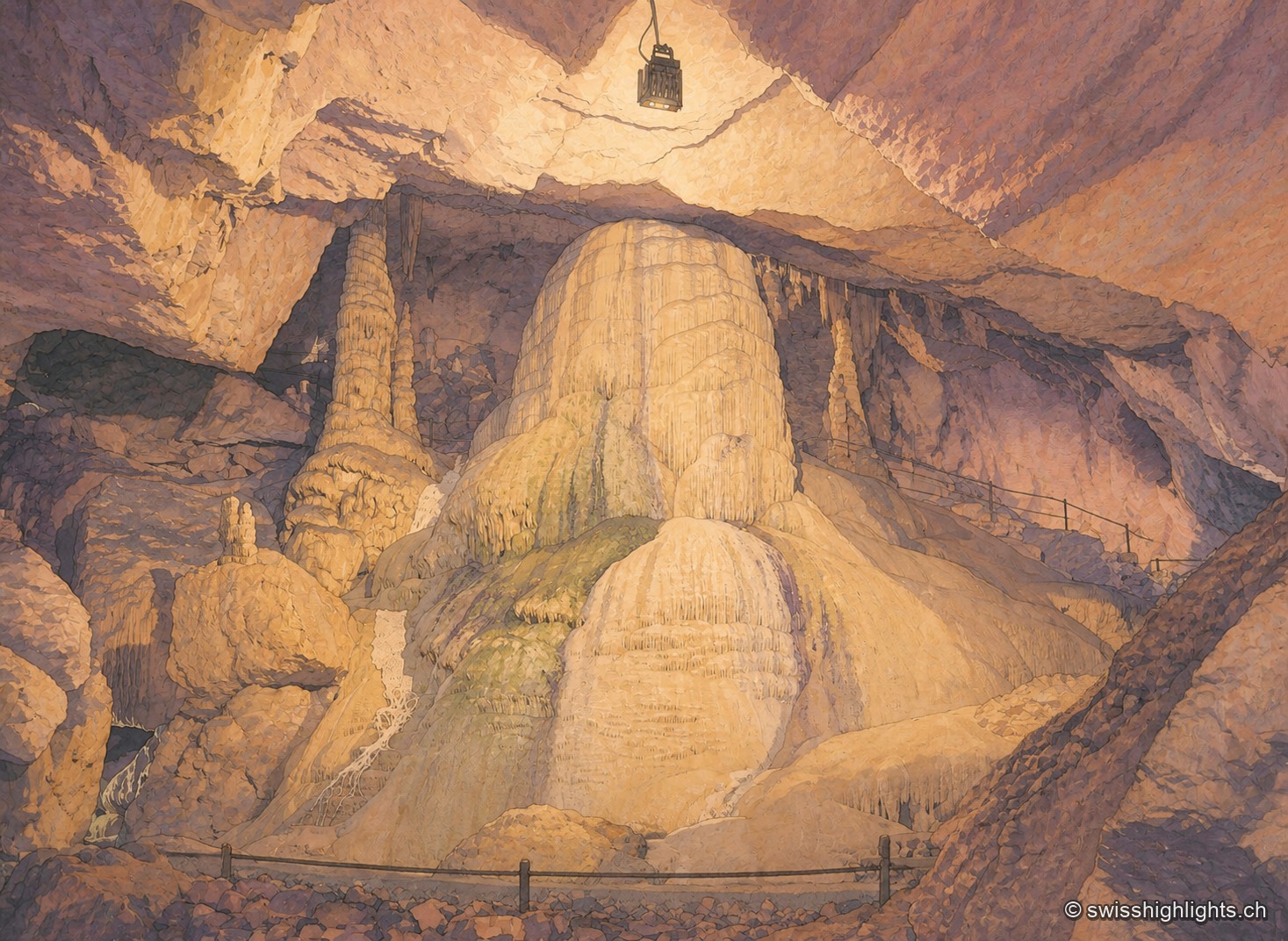
Grottes de Réclère
A pit that farmers called the 'Trou du Fahy' and used as a dump, revealed by the regional press in 1889: the Grottes de Réclère formed by collapse in a Jurassic limestone about 155 million years old.