Karst cave · Vaud
Grottes de Vallorbe
A network cut by the underground Orbe at the head of a blind valley in the Vaud Jura, open to visitors since 1974.
The Vallorbe caves open where the Orbe comes back out of the limestone, at the head of a blind valley in the Vaud Jura. The river leaves Lake Joux, sinks into the fissured rock and reappears 4.8 kilometres further on, at Vallorbe. Between the two, the underground course measures 2,980 metres as the crow flies, with a drop of 228 metres. The developed entrance stands at 750 metres, the resurgence at 776. Visitors do not follow the water: they take a bored tunnel that opens above an underground lake, some ten metres above the recovered Orbe.
The public route covers about a third of the known development and takes roughly an hour. It crosses the Grande salle, formed by the collapse of blocks fallen from the vault: heavy stalactites hang on one side, while a flow of calcite and moonmilk streams down the other. Elsewhere stalagmites stack up like plates and fine translucent soda straws hang from the ceiling. Near the entrance, four chambers hollowed out of the rock have housed the Trésor des Fées since 1992, a collection of more than 250 minerals.
No one had been able to enter the mountain by a natural way: the first to get in went through the spring itself. In 1893 a diver in a heavy standard suit went down to eleven metres and found that the gallery continued. Not until 1961, with self-contained diving gear, was the sump passed, a small underground lake reached and the dry network opened up. The caves took their first visitors in 1974, and the exploration is not over: in 2015 the furthest point reached was still 800 metres from Lake Brenet, which the cavers are working towards.
Why this place is remarkable
What is visited here is the path of a river: the Orbe enters the Jura limestone and does not emerge for 4.8 kilometres, and the developed route follows part of that underground journey. The cave was in fact reached by water before it was reached on foot — a helmet dive in 1893, scuba in 1961, opening to the public in 1974 — and its map is still unfinished: in 2015 the cavers were 800 metres short of Lake Brenet.
History and origin
The limestones in which the galleries opened were laid down under a shallow sea that once covered the region. That sea withdrew for good about 7 million years ago, as the Alps and the Jura rose; the estimated origin of the caves belongs to that time, at the beginning of the Pliocene. Despite common usage, the spring is not a Vauclusian one: morainic blocks and scree piled at the head of the valley block the lower part of the gallery and force the water upwards.
What to do and see
- Follow the bored tunnel that opens above the underground lake, some ten metres above the reclaimed Orbe.
- Cross the Grande salle, born from the collapse of blocks detached from the vault, with its stalactites and its calcite flow.
- Observe the stalagmites stacked like plates and the fine translucent soda straws on the ceiling.
- Stop in front of the Trésor des Fées, a collection of more than 250 minerals displayed since 1992 in four alcoves near the entrance.
Coming with family: what to know
- The air temperature stays low all year round in the cavity, between 8 and 11 °C, with humidity close to saturation.
As a couple
- Follow the underground course of the Orbe, which disappears into the limestone of the Jura and only re-emerges 4.8 kilometres further on.
- Admire the Grande salle and its flow of calcite and moonmilk, born from the collapse of the vault.
- Stop in front of the display cases of the Trésor des Fées, its collection of more than 250 minerals.
The air in the cave stays cold all year, between 8 and 11 °C, and humidity is close to saturation: the visit is a cold one whatever the season outside.
The flow of the underground Orbe ranges from 2 m³/s at low water to 80 m³/s in exceptional floods. Beyond the developed route, the network is a matter for caving and cave diving, not for a walk.
Location
Loads an interactive Google Maps view on demand, from the place's verified coordinates.
The embedded map will be enabled once an authorized Google Maps key is configured. Use the link above in the meantime.
The map could not load. Check your connection or use the link above to open the place in Google Maps.
Related places
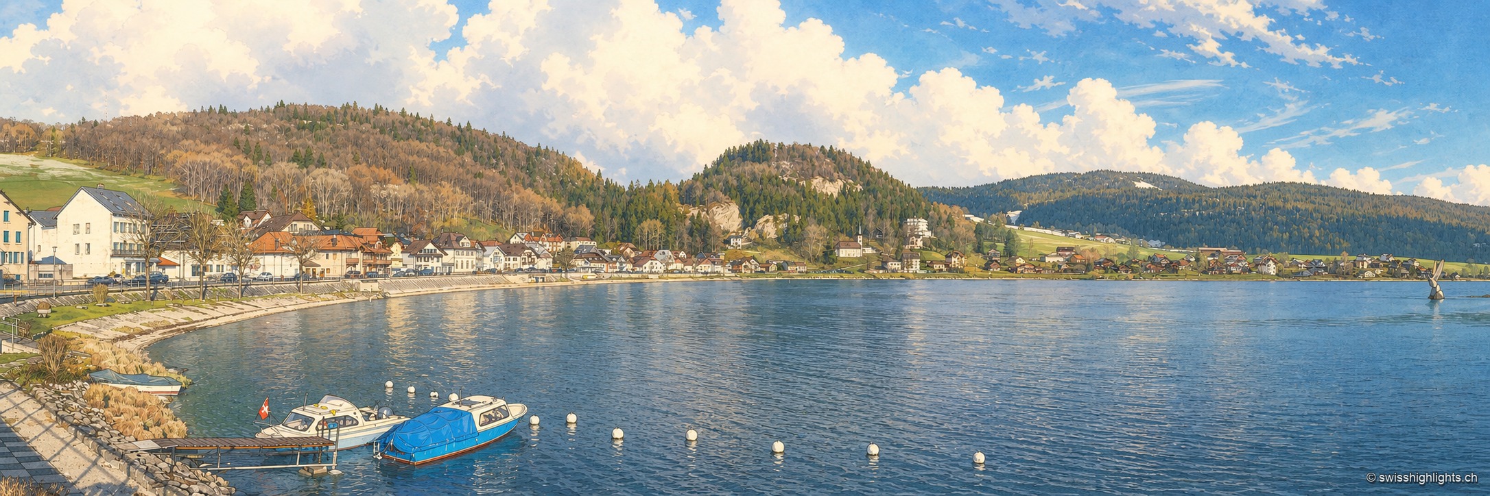
Hamlet on Lac de Joux · Vaud · 4 km as the crow flies
Le Pont
On an estate once named Champ du Port, a bridge built in the 17th century by Le Lieu and Le Chenit gave the hamlet its name. The railway brought French families; the Grand Hôtel rose in 1900-1901.
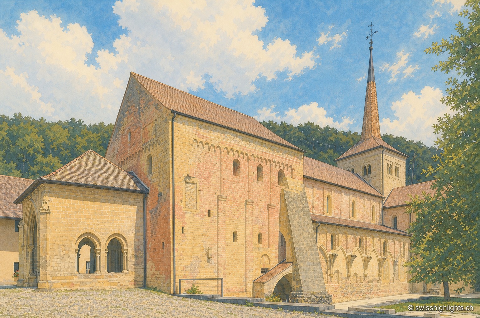
Cluniac village · Vaud · 9 km as the crow flies
Romainmôtier
The former abbey church of Saint Peter and Paul towers over a few sloping streets in the bottom of the Nozon valley. Handed to Cluny around 929, the Romanesque church is now a Reformed temple and a cultural property of national importance.
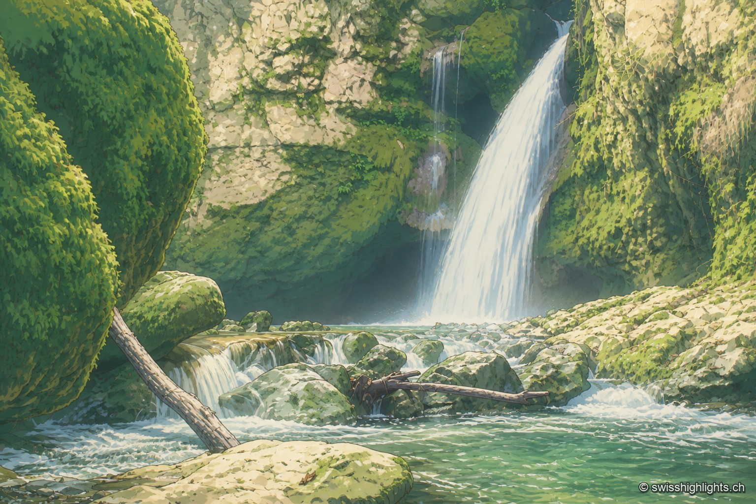
Rock cirque · Vaud Jura · 12 km as the crow flies
Tine de Conflens
Named after a Vaud patois phrase meaning 'confluence falls', the Tine de Conflens brings together two waterfalls: the Veyron's and the Venoge's, which it swells. A steep but maintained path leads to their foot.