Rock cirque · Vaud Jura
Tine de Conflens
A rock cirque where the Venoge and the Veyron meet, at the tripoint of the communes of Ferreyres, La Sarraz and Chevilly, in the canton of Vaud.
The Tine de Conflens is a rock cirque where the Venoge and the Veyron rivers meet, at a tripoint between the communes of Ferreyres, La Sarraz and Chevilly, in the canton of Vaud. Its name comes from Vaud patois and means 'confluence falls'.
Two waterfalls can be seen here: the Veyron's, which announces the start of the gorge, and the Venoge's, whose waters it swells. A steep but maintained path leads down into the gorge to the foot of the falls.
A little-known, unimproved cave lies next to the Venoge falls; it is easily accessible and shallow.
Why this place is remarkable
The Tine de Conflens owes its relief to the meeting of two streams, the Venoge and the Veyron, at the bottom of a rock cirque that also happens to be a communal tripoint, between Ferreyres, La Sarraz and Chevilly. A maintained path descends to the foot of both falls, making this enclosed confluence accessible on foot.
What to do and see
- Go down the steep but maintained path to the foot of the two falls, the Veyron fall and the Venoge fall.
- Observe the confluence of the Venoge and the Veyron in this rocky cirque, which also marks a tripoint between Ferreyres, La Sarraz and Chevilly.
- Spot, next to the Venoge fall, the shallow and easily accessible cave.
As a couple
- Go down together to the foot of the Veyron and Venoge falls.
- Stop in the rocky cirque where the two streams meet.
- Explore the small cave near the Venoge fall.
- Enjoy a place that also marks the meeting point of three Vaud municipalities, Ferreyres, La Sarraz and Chevilly.
The access path to the falls is steep, even though it is maintained, which calls for caution both going down and coming back up.
Location
Loads an interactive Google Maps view on demand, from the place's verified coordinates.
The embedded map will be enabled once an authorized Google Maps key is configured. Use the link above in the meantime.
The map could not load. Check your connection or use the link above to open the place in Google Maps.
Related places
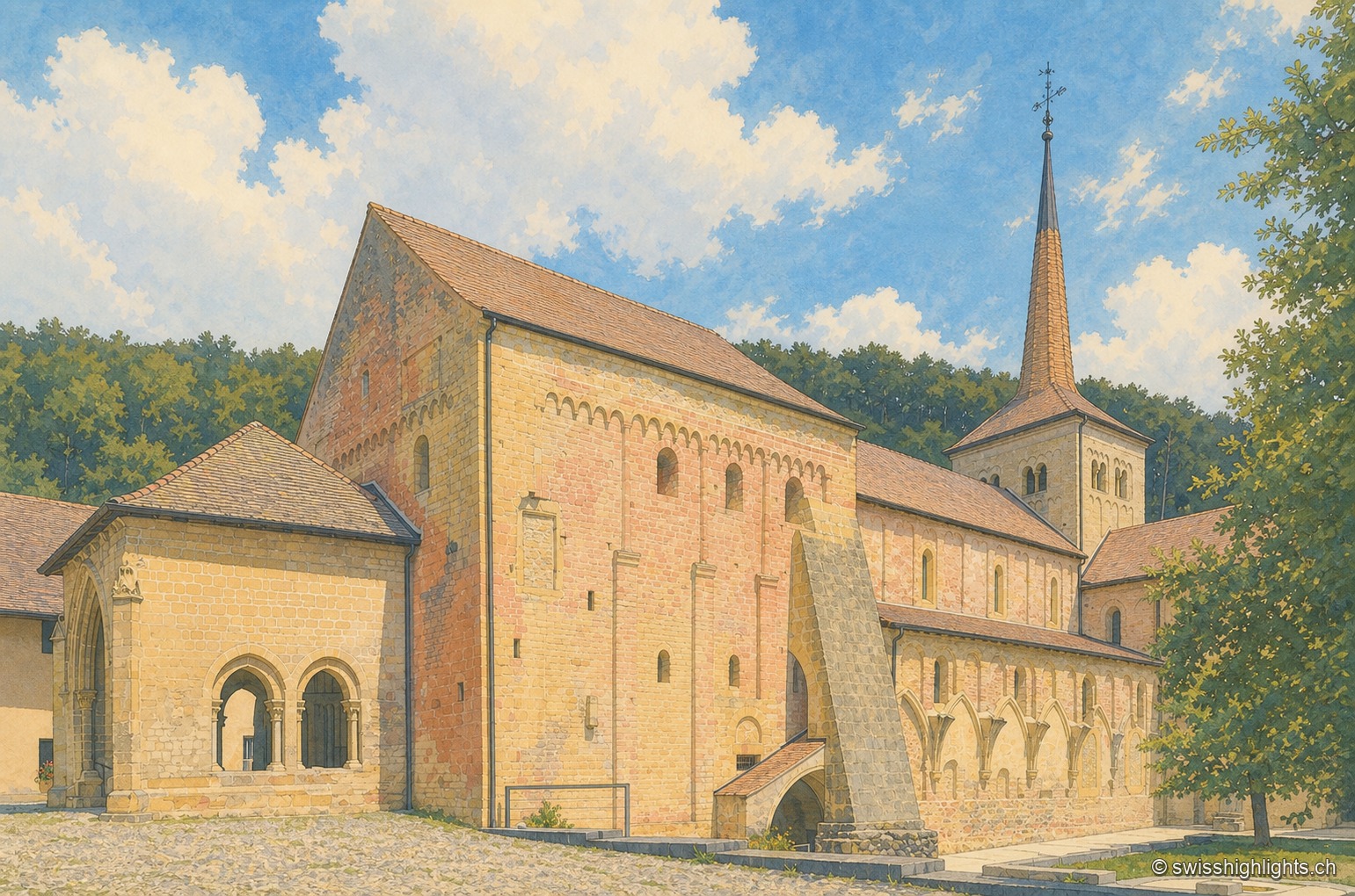
Cluniac village · Vaud · 5 km as the crow flies
Romainmôtier
The former abbey church of Saint Peter and Paul towers over a few sloping streets in the bottom of the Nozon valley. Handed to Cluny around 929, the Romanesque church is now a Reformed temple and a cultural property of national importance.
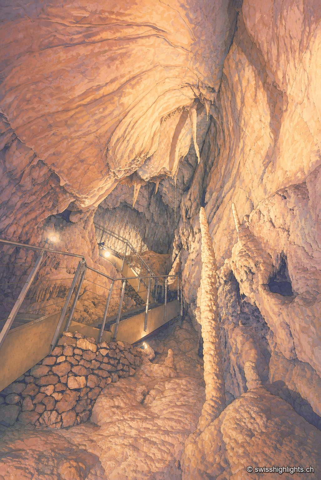
Karst cave · Vaud · 12 km as the crow flies
Grottes de Vallorbe
The Orbe leaves Lake Joux, vanishes into the limestone and comes back out 4.8 kilometres away at Vallorbe. Its underground course runs 2,980 metres with a drop of 228 metres; a third of the known network is walked in an hour.
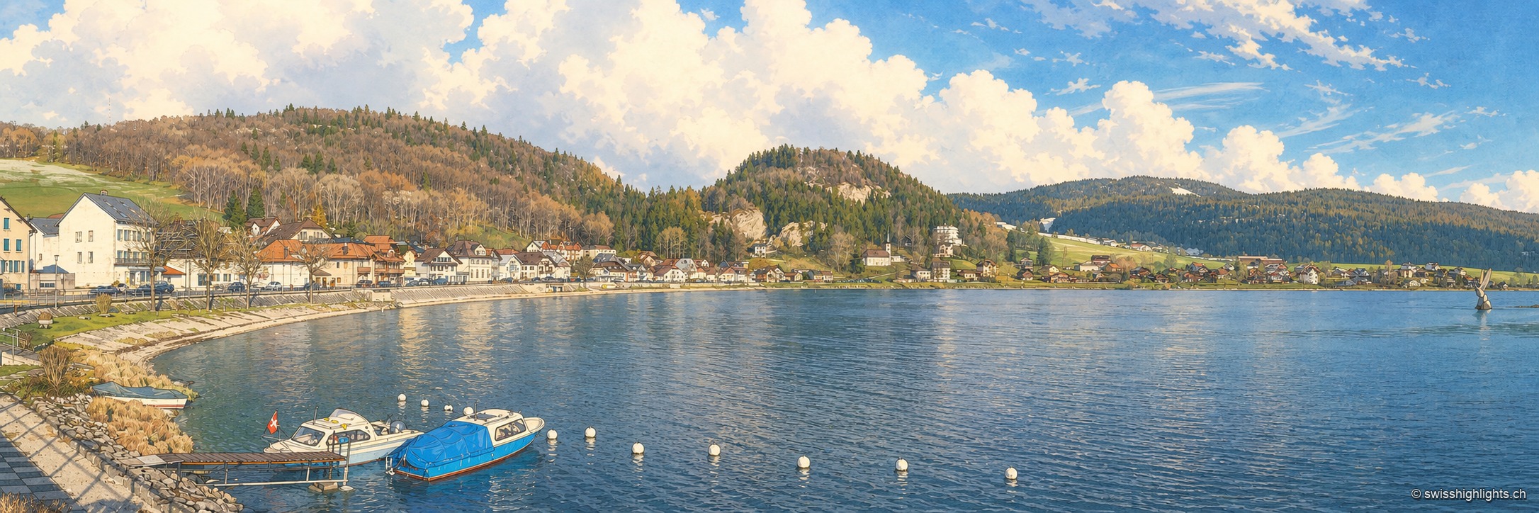
Hamlet on Lac de Joux · Vaud · 13 km as the crow flies
Le Pont
On an estate once named Champ du Port, a bridge built in the 17th century by Le Lieu and Le Chenit gave the hamlet its name. The railway brought French families; the Grand Hôtel rose in 1900-1901.