Wine village · Schaffhausen
Hallau
In the Schaffhausen Klettgau, a village of winegrowers where vine growing is recorded from 1280 onwards.
Hallau lies in the Klettgau, the farmed plain that extends the canton of Schaffhausen westwards, north of the Rhine and some fifteen kilometres as the crow flies from the cantonal capital. The commune covers 15.32 square kilometres and stands at about 421 metres, against the German border: its bus lines serve Schaffhausen on one side, Erzingen, in Germany, on the other. The economy remains agricultural and wine-growing, and encyclopedic sources present the village as the largest wine village of eastern Switzerland.
The commune was long called Unterhallau. Its name appears for the first time in a document of 1064, the vine from 1280, and the Reformed church of Saint Maurice carries the date 1491. The village also keeps the memory of an uprising: in 1790 its farmers rose against the economic privileges the town of Schaffhausen had reserved for itself. A wine museum is installed here, and the harvest is celebrated in the autumn.
Why this place is remarkable
What sets Hallau apart is not a monument but an old monoculture: the vine is recorded here from 1280 and still accounts for most of the economy, which earns the village its description in its sources as the largest wine village of eastern Switzerland. The rest lies in the position: the Klettgau, north of the Rhine, backed against the German border, a plain of fields and vineyards rather than a mountain landscape.
History and origin
The document of 1064 is the first written trace of the place; wine growing is not mentioned until 1280; the Reformed church of Saint Maurice carries the date 1491; and 1790 marks the revolt of the farmers of Hallau against the economic privileges of the town of Schaffhausen. Beyond these four dates the reference article says nothing of how the village took shape, and nothing is added here.
What to do and see
- Walk through the Klettgau vineyards that surround the village, attested since 1280.
- Visit the Saint-Maurice Reformed church, dated to 1491.
- Stop at the wine museum devoted to local viticulture.
As a couple
- Walk among the Klettgau vineyards, backing onto the German border.
- Pause in front of the Saint-Maurice Reformed church of 1491.
- As you wander through the village, tell each other about the 1790 peasant revolt against the privileges of Schaffhausen.
Location
Loads an interactive Google Maps view on demand, from the place's verified coordinates.
The embedded map will be enabled once an authorized Google Maps key is configured. Use the link above in the meantime.
The map could not load. Check your connection or use the link above to open the place in Google Maps.
Related places
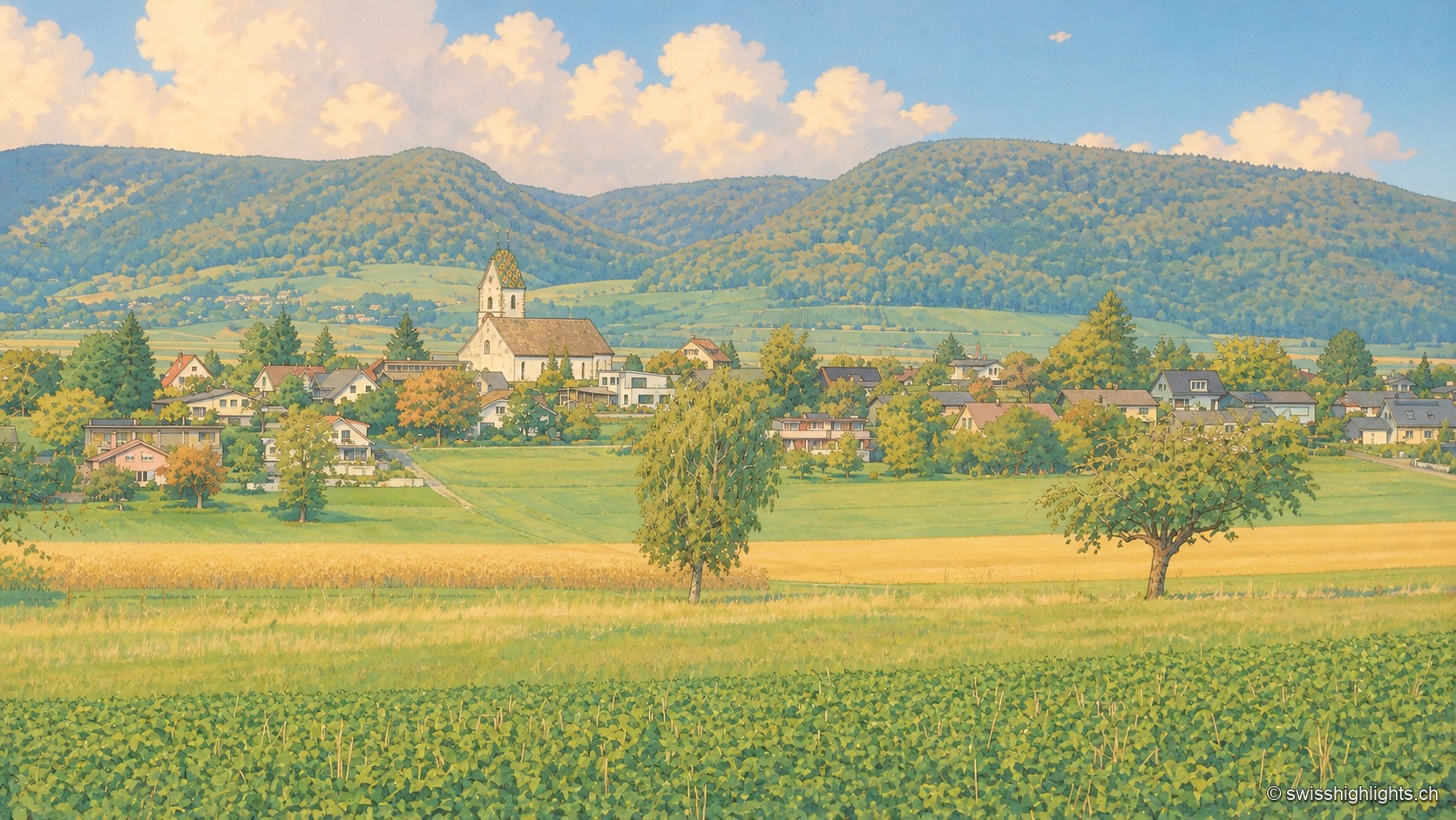
Planned small town · Schaffhausen · 3 km as the crow flies
Neunkirch
Destroyed and then rebuilt in one go, it has kept its rectangle of four parallel streets. Long held by the bishops of Constance, it was sold to Schaffhausen in 1525 for 8,500 guilders.
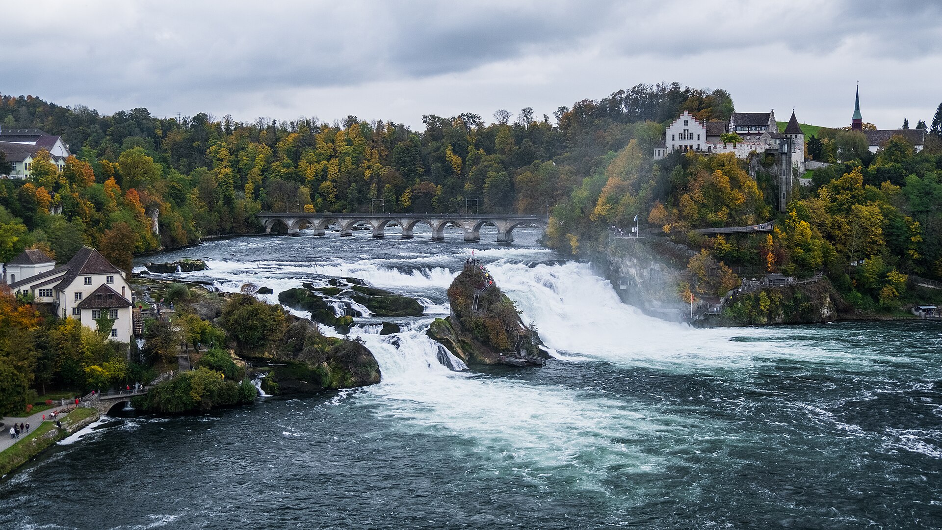
Waterfall · Schaffhausen · 12 km as the crow flies
Rhine Falls
A sheet of water 150 metres wide falls 23 metres over a sill of Malm limestone. As a summer average, the flow is close to 600 cubic metres per second.
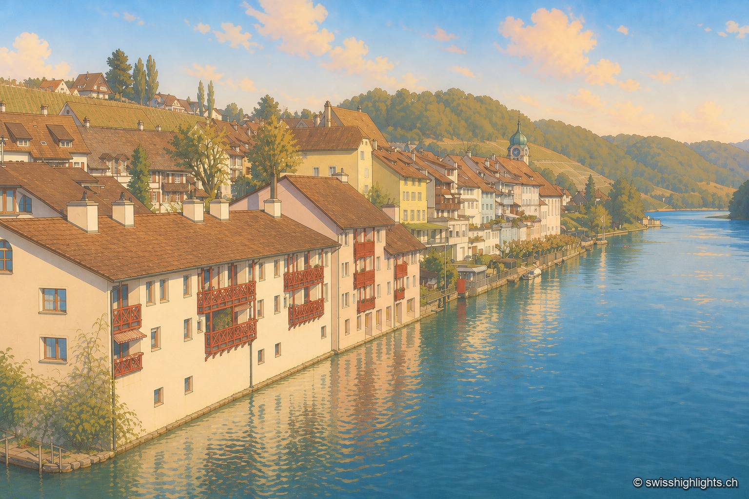
Rhine wine town · Zurich · 15 km as the crow flies
Eglisau
On the north bank of the Rhine, Eglisau lines its houses at the water's edge below vineyard slopes. The dam built between 1916 and 1920 raised the river by 8.5 metres, taking with it the old bridge and the houses along the bank.