Village · Appenzell Ausserrhoden
Heiden
A terrace village above Lake Constance, rebuilt on a grid plan after the fire of 1839.
Heiden lies on the northern slope of the Appenzell Prealps, on a terrace above Lake Constance. The municipality spans a wide range of height: from 400 metres at the lakeside to 790 metres on the heights, over a little more than seven square kilometres. It counted 4,383 inhabitants at the end of 2024. A rack railway links it to Rorschach on the shore and connects it to the Appenzell railway network.
The layout of the township is the product of a disaster. In 1839 fire destroyed almost the whole village; the rebuilding did not follow the old lines but a grid plan, straight streets and regular blocks — a rare figure in a region where villages string out along the ridges. That single, unified drawing can still be read on the ground.
The cure did the rest. From 1848 Heiden developed as a whey-cure resort, and the facilities followed: a wooden Kursaal, built in 1872-1873 in a Moorish style by the architect Horace Édouard Davinet, then in 1874 a district hospital, since become the cantonal hospital. It was in this township that Henri Dunant, founder of the Red Cross, spent his last eighteen years and died; the house where he lived now holds a museum devoted to him.
Why this place is remarkable
Few Swiss villages carry the mark of a single day so visibly. The fire of 1839 erased Heiden, and the rebuilding gave it what it had never had: a regular plan, drawn in one go, on a terrace facing Lake Constance. The whey cure moved into that new setting less than ten years later, with its hotels and its wooden Kursaal. It was in this cure township, and not in a capital, that Henri Dunant ended his life.
History and origin
The area once belonged to the commune of Kurzenberg. In 1652 Heiden and Wolfhalden broke away from it, the road to the church at Thal being too long. The fire of 1839 carried off almost the entire built fabric and forced the rebuilding on a grid plan. The whey cure settled in from 1848, followed by the facilities that came with it: the Kursaal of 1872-1873 and the district hospital of 1874, since become the cantonal hospital. Henri Dunant died here after living his last eighteen years in the place.
What to do and see
- Spot the grid layout of the village, drawn up all at once after the 1839 fire.
- Visit the house where Henri Dunant, founder of the Red Cross, lived and died, now a museum.
- Observe the 1872-1873 wooden Kursaal, built in a Moorish style by Horace Édouard Davinet.
- Enjoy from the village's terrace the view over Lake Constance.
Coming with family: what to know
- The village is spread from 400 to 790 metres, which implies elevation changes depending on the neighbourhoods visited.
As a couple
- Stroll through the straight streets and regular blocks resulting from the 1839 reconstruction.
- Look at Lake Constance from the terrace on which the village sits.
- Stop at the Henri Dunant museum, housed in the home where he spent his last eighteen years.
Location
Loads an interactive Google Maps view on demand, from the place's verified coordinates.
The embedded map will be enabled once an authorized Google Maps key is configured. Use the link above in the meantime.
The map could not load. Check your connection or use the link above to open the place in Google Maps.
Related places
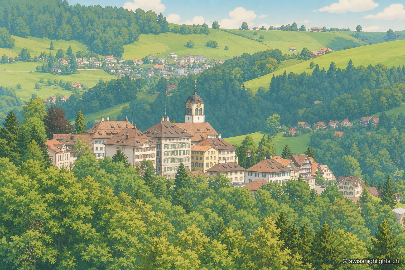
Village · Appenzell Ausserrhoden · 6 km as the crow flies
Trogen
Trogen became the capital of Appenzell Ausserrhoden in 1597 and lines its square with the Zellweger family's palaces, built between 1747 and 1809 from the textile trade. The Landsgemeinde met here until it was abolished in 1997.
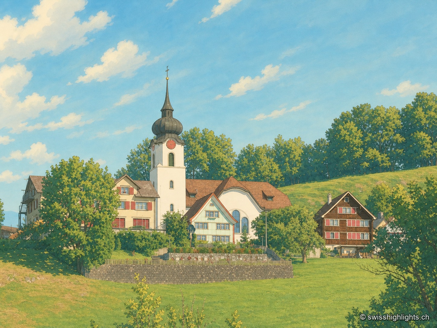
Ridge village · Appenzell · 14 km as the crow flies
Schlatt AI
The name is written around 1200, as Slatte, for a pasture on a slope. The road to Appenzell came only in 1898, and the church was consecrated on 12 June 1912. The site is listed in the ISOS inventory under number 0391.
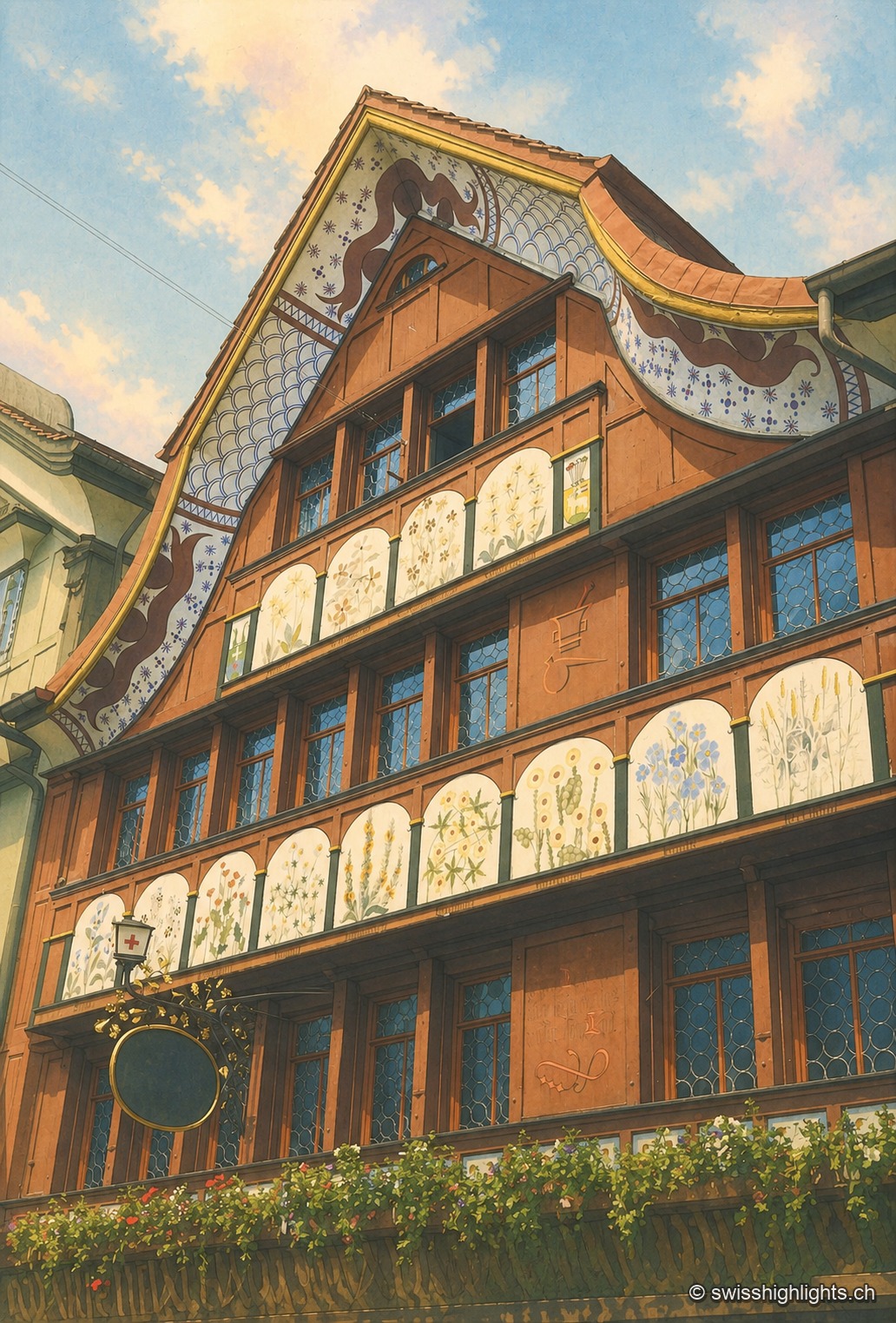
Village · Appenzell Innerrhoden · 15 km as the crow flies
Appenzell
A township of 5,778 inhabitants at the foot of the Appenzell Prealps, whose name, recorded in 1071, means the abbot's cell. On its square, citizens still vote by show of hands.