Mountain village · St Gallen
Hemberg
A Toggenburg village on the flank of the mountain that divides the Thur from the Necker, recorded from 878 and long shared between two confessions.
Hemberg clings to the flank of the summit that gave it its name, in the St Gallen Toggenburg: the Hemberg mountain divides the water running down to the Thur from the water that joins the Necker, and the village lies on the Necker side, the river that waters it. The former commune ranges from 709 to 1,139 metres — its high point is the Obere Barenegg — over 20 square kilometres, 5 of them forest. Since 1 January 2023 Hemberg has no longer been a commune: with Oberhelfenschwil it was attached to that of Neckertal.
The village bears the mark of an uncommon confessional history. Johannes Dörig introduced the Reformation here in 1522; from 1526 Hemberg was a parity village, and the two confessions worshipped in the same place. The arrangement lasted more than two and a half centuries: the Reformed church was not built until 1779, by Johann Jakob Haltiner, and the Catholic church in 1782. The parish itself goes back to 1214, and its bell tower keeps a medieval substructure beneath a Baroque onion dome.
Embroidery and weaving brought prosperity from the 18th century onwards, and population with it: around 2,000 inhabitants and 280 houses were counted about 1836. The decline of spinning and weaving reversed the movement in the second half of the 19th century — 1,348 inhabitants in 1900 then 944 in 2000 — and winter tourism, cross-country skiing in particular, only cushioned the fall in the 20th century.
Why this place is remarkable
What sets Hemberg apart is not its size but two divides laid one over the other. The village holds to the flank of the mountain that separates the basins of the Thur and the Necker. And it lived through another, rarer division: from 1526 Catholics and Protestants worshipped there in the same building, for more than two and a half centuries, before two churches were at last built three years apart, in 1779 and in 1782.
History and origin
Hemberg appears in the records from 878. The parish church of Saint John the Baptist and Saint Andrew goes back to a foundation of 1214; its nave and choir were rebuilt in 1781 and 1782 by Ferdinand Beer, while the bell tower keeps a medieval substructure beneath a Baroque onion dome and lantern. The Reformed church, raised in 1779 by Johann Jakob Haltiner, sets a single nave behind a front tower and keeps stuccowork and a Louis XVI gallery inside. At Schwanzbrugg, a house dated 1776 carries Rococo paintings on its gable.
What to do and see
- Locate the village on the slope that separates the waters of the Thur from those of the Necker.
- Compare the 1779 Reformed temple by Johann Jakob Haltiner with the 1782 Catholic church, built three years apart after a long confessional divide.
- Observe the parish church tower, whose medieval substructure carries a baroque bulb.
- Spot in Schwanzbrugg the 1776 house with rococo paintings on its gable.
Coming with family: what to know
- The former municipality spans from 709 to 1,139 metres, mountain terrain to take into account for a visit.
As a couple
- Walk between the 1779 Reformed temple and the 1782 Catholic church, built three years apart after two and a half centuries of division.
- Observe the medieval tower under its baroque bulb on the parish church.
- Look in Schwanzbrugg for the rococo paintings of the house dated 1776.
Location
Loads an interactive Google Maps view on demand, from the place's verified coordinates.
The embedded map will be enabled once an authorized Google Maps key is configured. Use the link above in the meantime.
The map could not load. Check your connection or use the link above to open the place in Google Maps.
Related places
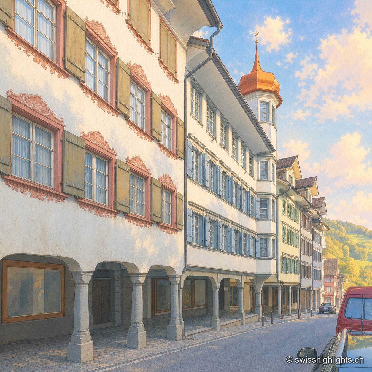
Medieval small town · St Gallen · 7 km as the crow flies
Lichtensteig
Recorded in 1228, the town gained charters of liberties from 1400. The county passed to the Abbey of St Gallen in 1468, which stationed its reeve there until 1798. Wakker Prize 2023, it joined Switzerland's Most Beautiful Villages in 2016.
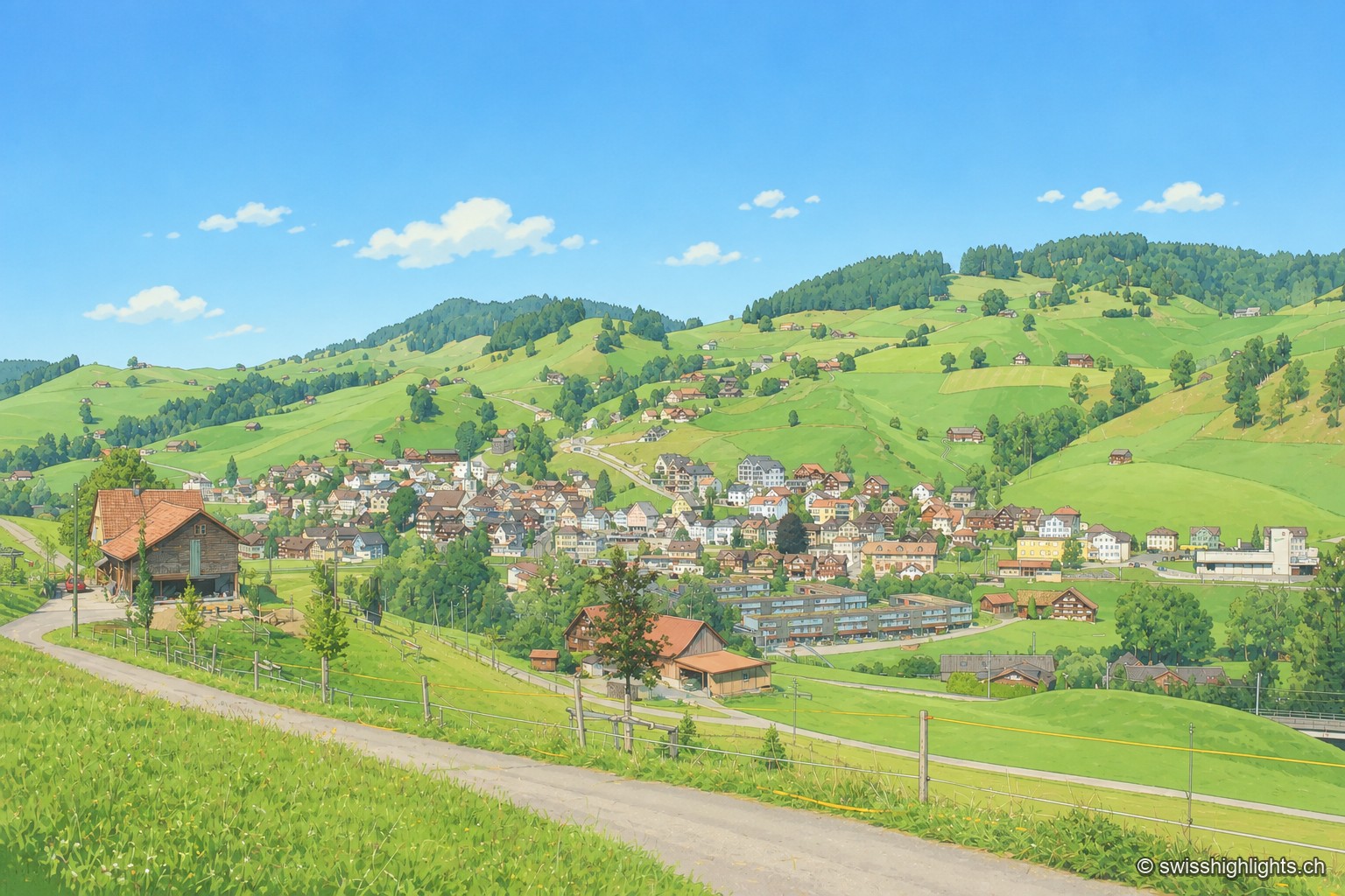
Appenzell village · Ausserrhoden · 9 km as the crow flies
Urnäsch
First recorded in 831, Urnäsch became an autonomous parish in 1417, then, after the 1597 cantonal split, the first of the six Rhoden of Appenzell Ausserrhoden. Weaving, then embroidery, supported generations here.
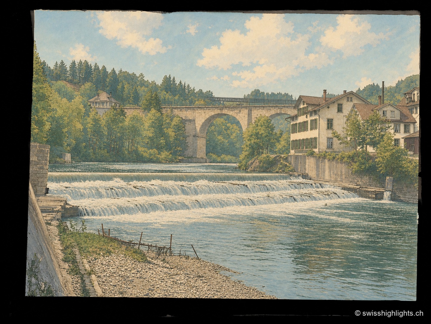
Heritage landscape · St. Gallen · 16 km as the crow flies
Bridges of Bruggen and the Sitter Valley
Around Bruggen, at the gates of St. Gallen, an 8.2 km path links eighteen 18th-20th century bridges: timber from 1780, stone from 1811, a 100-metre railway viaduct opened in 1910, through the wooded gorges of the Sitter.