Medieval small town · St Gallen
Lichtensteig
Founded by the counts of Toggenburg around 1228, Lichtensteig keeps its medieval old town on the Thur and received the Wakker Prize in 2023.
Lichtensteig first appears in a document in 1228, as Liehtvnsteige, a fortified place of the counts of Toggenburg. A town reeve is mentioned from 1310; in 1400, Count Donat granted it a first charter of liberties, giving it town rights, a market, an administration, a court and the right to mint coin — the small town then had 400 inhabitants, governed by a council of twelve, six of whom were elected yearly by the burghers. A town school is recorded in 1425.
After the Old Zurich War, Prince-Abbot Ulrich Rösch of St Gallen bought the county of Toggenburg, and with it Lichtensteig, in 1468; the town became the seat of the abbey's reeve — Albrecht Miles, a native of the town, was the first to hold the office. The abbot confirmed the charters of liberties in 1469. Until 1798, the Toggenburg reeves of the Abbey of St Gallen resided there, and the town hosted the Toggenburg regional council, court and council of war, as well as, from 1529, the Reformed synod, after the majority of burghers had joined the Reformation in 1524.
The historic town — the 'Städtli' — keeps its oldest houses, dated to the first half of the 15th century, built into the town wall. From 1531, Catholics and Protestants had shared a single church building, until each confession built its own church, in 1967 for the Reformed church and in 1970 for the Catholic church of St Gallus, the latter designed by architect Walter M. Förderer and built in concrete on a hill above the old town. Lichtensteig has belonged to the association Switzerland's Most Beautiful Villages since 2016 and received the Wakker Prize in 2023.
The town has been served by the Toggenburg railway since 24 June 1870, and by the Bodensee-Toggenburg line from 1 October 1910. Every August, the Jazztage make Lichtensteig the venue of Eastern Switzerland's largest jazz festival.
Why this place is remarkable
What Lichtensteig keeps is the continuity of a power: a fortified town of the counts of Toggenburg from 1228, it passed in 1468 to the Abbey of St Gallen, whose reeves resided there until 1798 — and the Städtli they administered still holds its 15th-century houses, recognised in 2016 by the association Switzerland's Most Beautiful Villages and, in 2023, by the Wakker Prize.
History and origin
A fortified place of the counts of Toggenburg attested in 1228, Lichtensteig gained its first charters of liberties in 1400. The Prince-Abbot of St Gallen bought the county in 1468 and stationed his reeve there until 1798; the majority of burghers joined the Reformation in 1524, and Catholics and Protestants shared a single church building from 1531 until two separate churches were built, in 1967 and 1970.
What to do and see
- Walk through the Städtli, the old town whose oldest houses date from the first half of the 15th century and are built into the town wall.
- Compare the 1967 Reformed church with the 1970 Catholic church of St. Gallus, designed by architect Walter M. Förderer and built in concrete on a hill.
- Follow the Thur river, along which the town developed.
- Spot the traces of the Toggenburg bailiffs of the Abbey of St. Gallen, who resided there until 1798.
Coming with family: what to know
- The old town can be visited on foot from the Städtli, with no indication of difficult terrain in the source.
As a couple
- A walk through the Städtli, between 15th-century houses and the town wall.
- The contrast between the two separate churches, one from 1967, the other from 1970 in concrete on its hill.
- A moment by the Thur river, below the old town.
Location
Loads an interactive Google Maps view on demand, from the place's verified coordinates.
The embedded map will be enabled once an authorized Google Maps key is configured. Use the link above in the meantime.
The map could not load. Check your connection or use the link above to open the place in Google Maps.
Related places
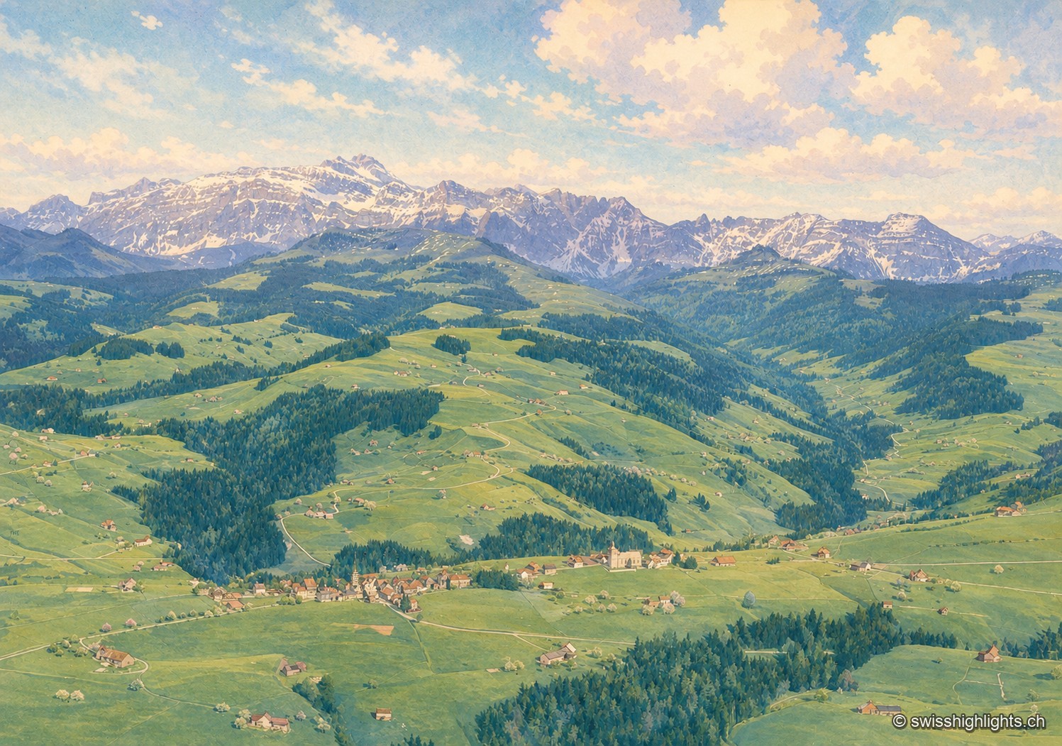
Mountain village · St Gallen · 7 km as the crow flies
Hemberg
Made a parity village in 1526, Hemberg had Catholics and Protestants worship in the same building for two and a half centuries, until the two churches of 1779 and 1782. The place ranges from 709 to 1,139 metres.
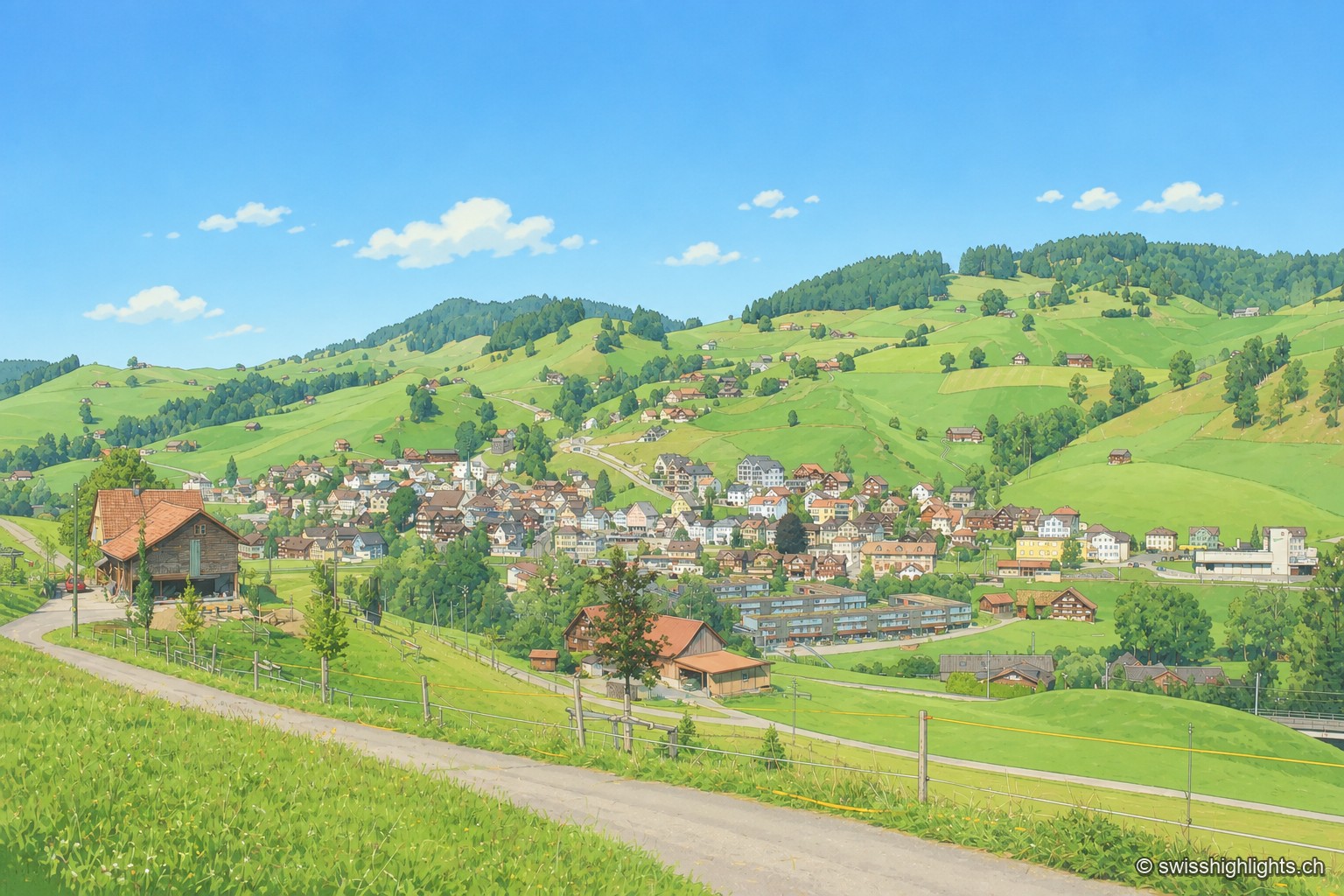
Appenzell village · Ausserrhoden · 15 km as the crow flies
Urnäsch
First recorded in 831, Urnäsch became an autonomous parish in 1417, then, after the 1597 cantonal split, the first of the six Rhoden of Appenzell Ausserrhoden. Weaving, then embroidery, supported generations here.
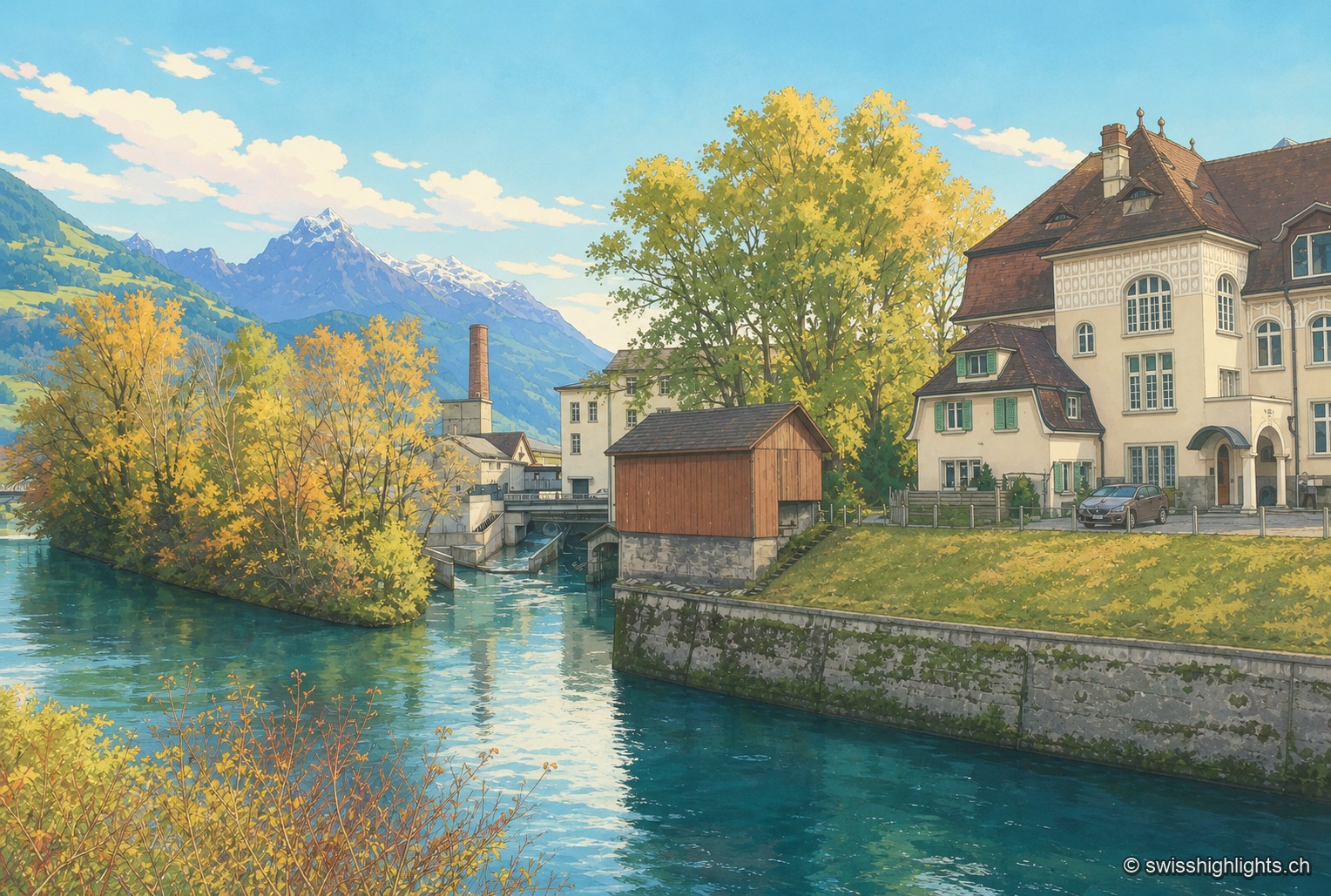
Village split by a canal · Glarus/SG · 20 km as the crow flies
Ziegelbrücke
The Linth Canal splits Ziegelbrücke in two: station and railway junction on the St. Gallen side, the Fritz & Caspar Jenny mill (1833), listed in the ISOS inventory, on the Glarus side.