Heritage landscape · St. Gallen
Bridges of Bruggen and the Sitter Valley
The St. Gallen bridge path: eighteen viaducts, bridges and footbridges from the 18th-20th centuries linked over 8.2 km around Bruggen, in the Sitter valley.
The St. Gallen bridge path (St. Galler Brückenweg) links, over 8.2 marked kilometres between St. Gallen-Haggen station and the hamlet of Spisegg, some twenty structures built between the 18th and 20th centuries around the Bruggen quarter: railway viaducts, stone bridges, suspension footbridges and covered timber bridges, each marked with an information panel. The route crosses the Sitter and Wattbach nature reserve, a protected river landscape, and reaches a high point of 705 metres.
The oldest covered bridge, built in 1780 by master carpenter Hans Ulrich Grubenmann after a flood destroyed every existing structure on the Urnäsch in 1778, is nicknamed the 'speaking bridge' for its many carved inscriptions. On the Sitter itself, the Kräzern stone bridge, built in 1811 by Hans Ulrich Haltiner after three years of construction, measures 148 metres long and 25 metres high; its two arches replace a first bridge attested as early as the 13th century.
The most spectacular viaduct remains that of the South-Eastern Railway (Südostbahn), opened on 1 October 1910: its 100-metre height and 365-metre length long made it the highest standard-gauge railway bridge in Europe. Downstream, the Fürstenlandbrücke, chosen in 1937 from 47 submitted designs and opened in 1941, spans the valley over 489 metres, 60 metres above the Sitter.
Why this place is remarkable
In a small stretch around Bruggen, a marked path links some twenty 18th-20th century structures — a timber bridge from 1780, a stone arch from 1811, a 100-metre railway viaduct opened in 1910 — through a nature reserve where the Sitter and the Wattbach cut their gorges.
History and origin
The valley crossing has been rebuilt three times on the same spot: a first bridge over the Sitter is attested here as early as the 13th century, replaced between 1774 and 1778 by the covered Bedabrücke, itself replaced in 1811 by today's Kräzern stone bridge. When 1930s motor traffic outgrew its capacity, the Fürstenlandbrücke was built nearby between 1937 and 1941, chosen from 47 submitted designs, for 3.6 million francs.
What to do and see
- Walk all or part of the 8.2-kilometre marked bridges trail, between St. Gallen-Haggen station and the hamlet of Spisegg.
- Observe the covered wooden bridge of 1780, nicknamed the "talking bridge" for its numerous carved inscriptions.
- Stop at the Kräzern stone bridge, built in 1811 over the Sitter, 148 metres long and 25 metres high.
- Look up at the 1910 railway viaduct, 100 metres high and 365 metres long, long the highest standard-gauge railway bridge in Europe.
As a couple
- Walk along the Sitter and the Wattbach, through the nature reserve crossed by the bridges trail.
- Compare the styles of the structures encountered, from the 1780 wooden bridge to the Fürstenlandbrücke opened in 1941.
- Stop under the 1910 railway viaduct to take in its 100 metres of height.
Location
Loads an interactive Google Maps view on demand, from the place's verified coordinates.
The embedded map will be enabled once an authorized Google Maps key is configured. Use the link above in the meantime.
The map could not load. Check your connection or use the link above to open the place in Google Maps.
Related places
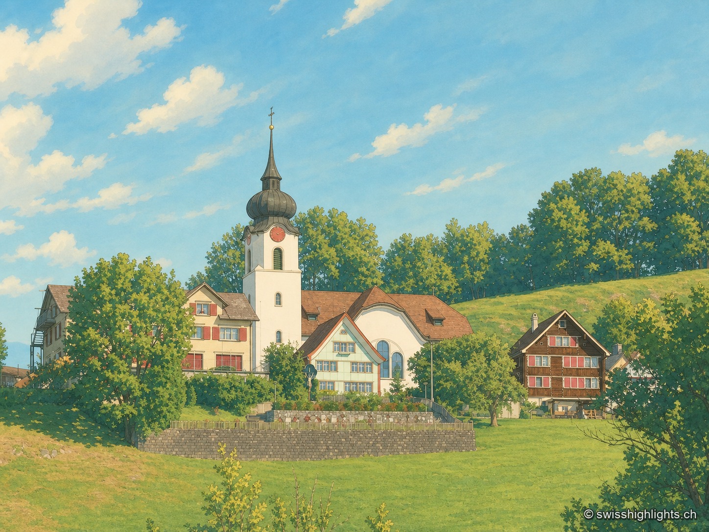
Ridge village · Appenzell · 7 km as the crow flies
Schlatt AI
The name is written around 1200, as Slatte, for a pasture on a slope. The road to Appenzell came only in 1898, and the church was consecrated on 12 June 1912. The site is listed in the ISOS inventory under number 0391.
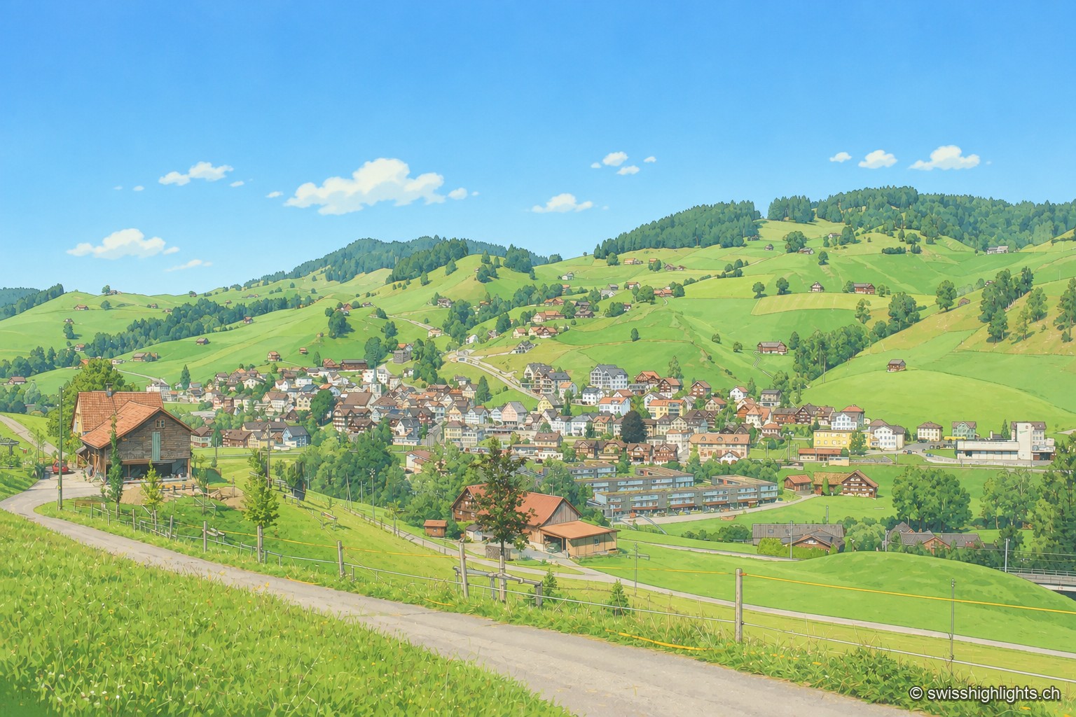
Appenzell village · Ausserrhoden · 10 km as the crow flies
Urnäsch
First recorded in 831, Urnäsch became an autonomous parish in 1417, then, after the 1597 cantonal split, the first of the six Rhoden of Appenzell Ausserrhoden. Weaving, then embroidery, supported generations here.
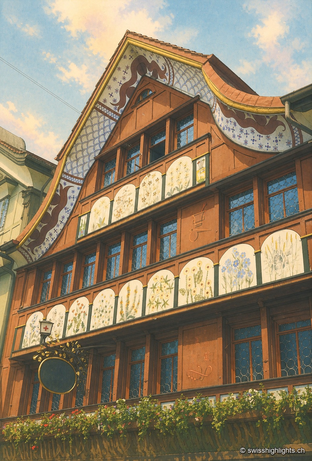
Village · Appenzell Innerrhoden · 10 km as the crow flies
Appenzell
A township of 5,778 inhabitants at the foot of the Appenzell Prealps, whose name, recorded in 1071, means the abbot's cell. On its square, citizens still vote by show of hands.