Old town and covered bridge · Lucerne
Lucerne, old town and Kapellbrücke
Where the Reuss leaves Lake Lucerne, an old town crossed by two covered wooden bridges.
Lucerne established itself where the Reuss leaves Lake Lucerne, at 436 or 437 metres depending on the source, and counts 86,234 inhabitants as of 31 December 2024. The town was founded between 1180 and 1200; it joined the Confederation in 1332, before any other town. Its old fabric earns it listing as a Swiss townscape worthy of protection. The river is no backdrop here: it carries the two covered wooden bridges around which the old town is arranged.
The Chapel Bridge dates from 1333 and crosses the Reuss over some 204 metres. The water tower beside it is older: raised around 1290-1300, octagonal, 34.5 metres high with a circumference of 39 metres and sides of 4.4 to 5 metres. It served in turn as a lookout post, as part of the fortifications facing the lake, as an archive store from the 14th century, as the cantonal treasury, and as a prison until the end of the 18th century.
Under the bridge's roof frame, a series of triangular painted panels retraces the history of the old Confederation; the iconographic programme was settled by Renward Cysat in 1611. There were 158 originally and 147 still remained before the night of 18 August 1993, when a fire devastated the structure. The two abutments and the water tower were spared; 110 panels were affected and about two thirds of them burned or were severely damaged. The bridge was rebuilt in eight months and reopened on 14 April 1994: what one crosses today is therefore, in the main, a restitution.
Upstream, the Spreuerbrücke, completed in 1408, carries a Dance of Death cycle painted by Kaspar Meglinger between 1626 and 1635, of which 67 panels survive. On the height, the Musegg Wall preserves 870 metres of curtain and nine towers, a site opened around 1370 and continued into the 15th century; the Zytturm clock, built in 1535 by Hans Luterer, keeps the privilege of striking the hour one minute before the town hall clock. At the other end of the chronology, Jean Nouvel's Culture and Convention Centre was delivered in 1999.
Why this place is remarkable
Two covered wooden bridges, an 870-metre town wall still standing and a water tower older than the bridge it flanks hold within a few hundred metres of river; the fire of 1993 and the reconstruction of 1994 are part of what one is looking at.
History and origin
Town founded between 1180 and 1200; Lucerne joined the Confederation in 1332, before any other town. Chapel Bridge built in 1333, about 204 metres long; water tower raised around 1290-1300, 34.5 metres high. Painted programme settled by Renward Cysat in 1611: 158 panels originally, 147 before the fire of 18 August 1993, 110 affected. Rebuilt in eight months and reopened on 14 April 1994. Spreuerbrücke completed in 1408; Dance of Death by Kaspar Meglinger, 1626-1635, 67 panels preserved. Musegg Wall: 870 metres and nine towers, from around 1370. Zytturm clock of 1535, by Hans Luterer.
What to do and see
- Cross the Chapel Bridge, around 204 metres long, and look up under its roof timbers at the painted panels retracing the history of the old Confederacy.
- Climb the neighbouring octagonal water tower, built around 1290-1300, which served in turn as a watchtower, archive, treasury and prison.
- Go see the Spreuerbrücke and its Dance of Death cycle painted by Kaspar Meglinger, of which 67 panels survive.
- Follow the 870-metre Musegg wall along its curtain and nine towers, including the Zytturm with its 1535 clock.
Coming with family: what to know
- The two covered bridges and the Musegg ramparts offer an open-air route, with no particular constraint noted in the sources.
As a couple
- Cross the Chapel Bridge together, following the painted panels, rebuilt after the fire of 18 August 1993 and the reopening on 14 April 1994.
- Walk along the Reuss between the two covered wooden bridges, the Chapel Bridge and the Spreuerbrücke.
- Climb onto the Musegg wall for a panorama from the towers, construction begun around 1370.
Location
Loads an interactive Google Maps view on demand, from the place's verified coordinates.
The embedded map will be enabled once an authorized Google Maps key is configured. Use the link above in the meantime.
The map could not load. Check your connection or use the link above to open the place in Google Maps.
Related places
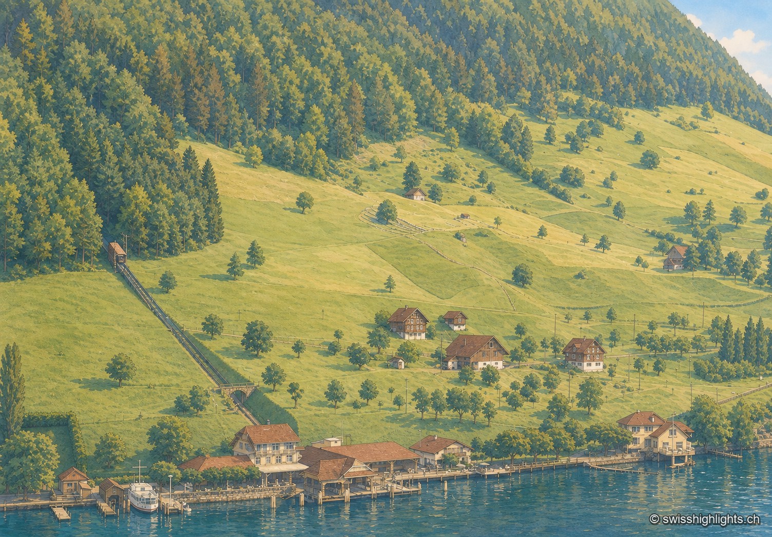
Lakeside village · Nidwalden · 8 km as the crow flies
Kehrsiten
The village, at 483 m and with its own postal code (6365), had several lakeside hotels in the 1950s — the Baumgarten, the Seeblick, the Wilhelm Tell — documented by ETH-Bibliothek aerial photographs.
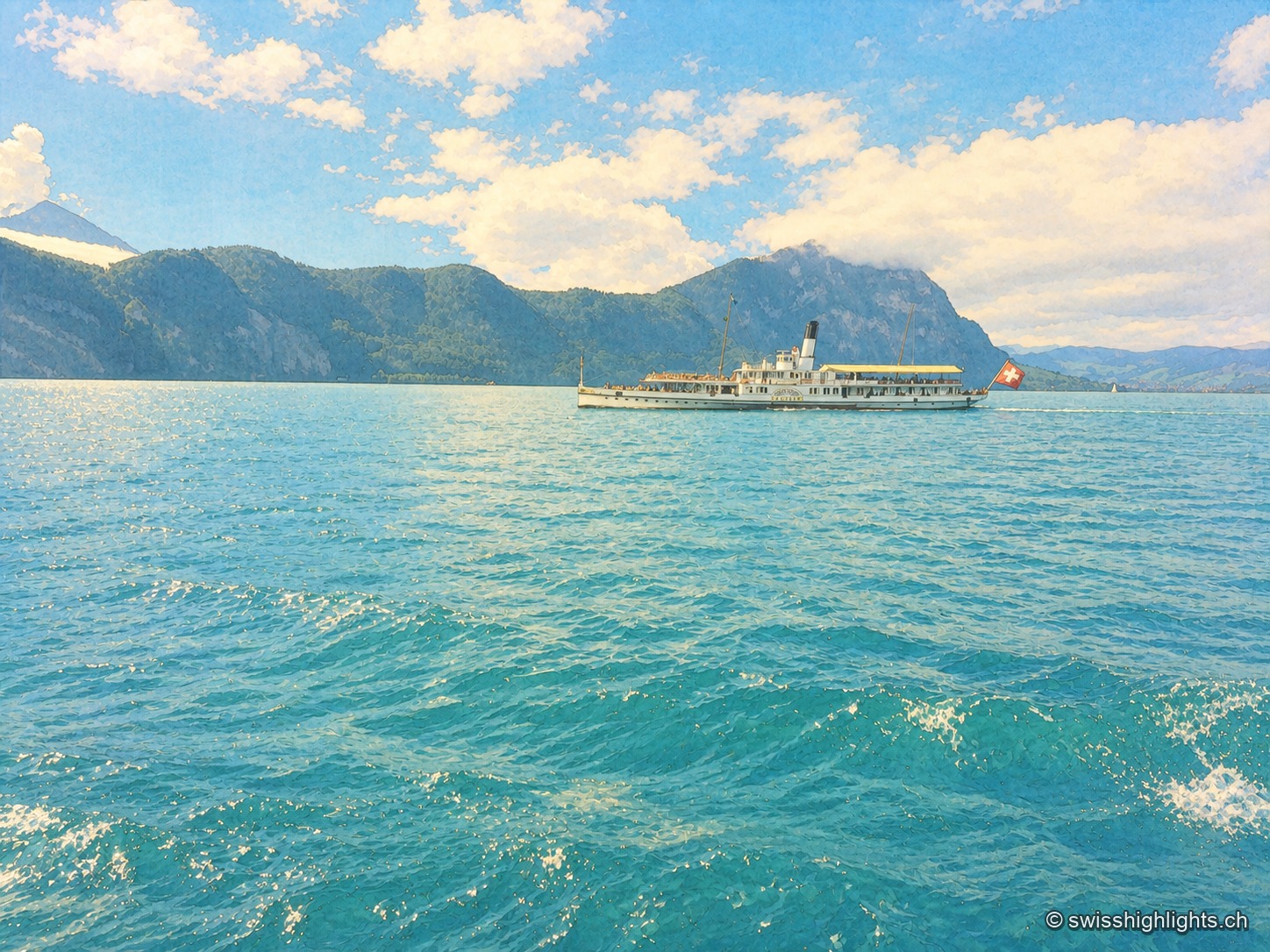
Glacial lake · Central Switzerland · 8 km as the crow flies
Lake Lucerne
The lake covers 114 km² at 434 metres above sea level and drops to 214 metres. Its basins change direction at every narrows, below the Pilatus at 2,129 metres and the Rigi at 1,798 metres.
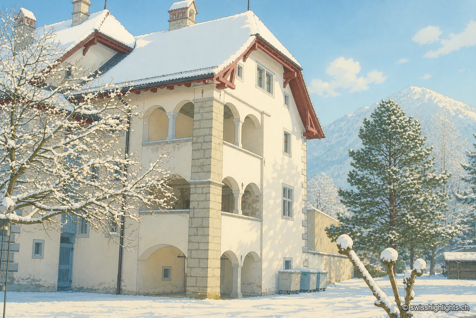
Below the Stanserhorn · Nidwalden · 11 km as the crow flies
Stans
In September 1798, French troops killed 414 residents there, including about a hundred women and twenty-six children, in response to the canton's resistance. Today Stans also lives on aviation, with the Pilatus Aircraft plant.