Alpine lake · Bernese Oberland
Lake Thun
An 18 km alpine lake in the Bernese Oberland, ringed by castles, into which the army sank thousands of tonnes of munitions between 1945 and 1964.
Lake Thun stretches 18 km in length and 3 km in width through the Bernese Oberland, at 560 m elevation according to Wikipedia (558 m according to Wikidata). Its shores carry the settlements of Spiez, Thun, Hilterfingen, Oberhofen, Gunten, Sigriswil, Merligen and Neuhaus, home to around 400,000 people. The Kander feeds it; together with Lake Brienz it forms a freshwater reserve supplying drinking water to close to half a million people, and serves as a stopover of pan-European importance for migratory birds.
Its waters, low in phosphorus, hold slow-growing whitefish that have differentiated by habitat and diet — the kropfer (Coregonus alpinus), an endemic species, alongside the brienzlig, the albock and the balchen. Since 2000, more than 40% of these fish have shown unusual congenital and sexual abnormalities; five years of research have not established the cause.
Thun, at the lake's northern end, keeps a medieval town and houses a Historical Museum and an Army Museum. The castles of Spiez, home to the Bubenberg and then the Erlach families, and Oberhofen, held by the knights of Oberhofen and then of Scharnachthal, stand over the shore; the caves of St Beatus, a medieval pilgrimage site, have become a tourist attraction.
Why this place is remarkable
Lake Thun holds together scales rarely found in one place: whitefish that have diversified into distinct species by depth and diet, Ferdinand Hodler, who painted it repeatedly alongside the Stockhorn, and a little-known military legacy — up to 4,600 tonnes of munitions sunk between 1945 and 1964, whose effect on wildlife remains unresolved.
History and origin
The lake's name, like that of the town of Thun, comes from the Celtic dunum, 'fortified hill' or 'stronghold'. Fredegar's chronicle, in the 7th century, records it as in laco Duninse quem Arola flumen influit, 'the lake of Thun into which the Aare flows'; the same text reports that in the year 599 the lake's water boiled and cooked the fish, an episode the author himself calls prodigious.
What to do and see
- Observe Spiez Castle and Oberhofen Castle, which overlook the lake shore.
- Reach Thun, at the northern end, for its medieval town and its Historical Museum.
- See the St. Beatus Caves, a former medieval pilgrimage site turned tourist attraction.
- Look, thinking of Ferdinand Hodler, for the view of the Stockhorn that he painted several times from the lake.
As a couple
- Spiez Castle, former residence of the Bubenberg then Erlach families, as a stop on the lake shore.
- Oberhofen Castle, once held by the knights of Oberhofen then of Scharnachthal.
- The medieval old town of Thun, at the northern end of the lake.
- The St. Beatus Caves, a former pilgrimage site, for a different stop on the shore.
Between 1945 and 1964 the Swiss army sank between 3,000 and 4,600 tonnes of munitions into Lake Thun, depending on the source, spread across two main sites — more than into any other Swiss lake, owing to the proximity of military facilities. In 1948 a significant quantity was sunk there after an explosion damaged the Mitholz munitions depot. The Swiss government states that current data cannot establish or rule out a link between these munitions and the abnormalities observed in the fish.
The source flags a military legacy: between 1945 and 1964, the Swiss army dumped between 3000 and 4600 tonnes of munitions into the lake, at two sites, with no link to observed anomalies in fish either established or ruled out to this day.
Location
Loads an interactive Google Maps view on demand, from the place's verified coordinates.
The embedded map will be enabled once an authorized Google Maps key is configured. Use the link above in the meantime.
The map could not load. Check your connection or use the link above to open the place in Google Maps.
Related places
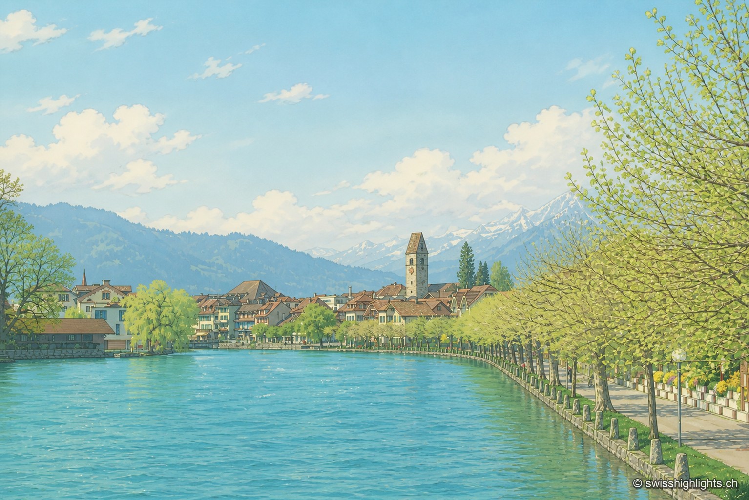
Bödeli town · Bern · 10 km as the crow flies
Unterseen
Built on the north bank of the Aare facing Interlaken, Unterseen burned in 1364 and again in 1470; Bern had it rebuilt around a central town house. Its log façades date from the seventeenth to the nineteenth century.
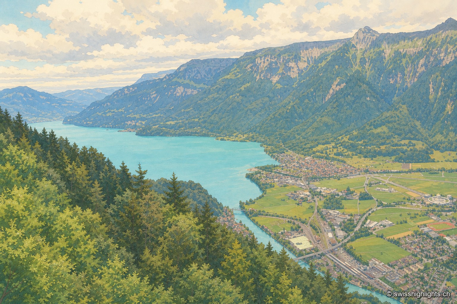
Town · Bernese Oberland · 11 km as the crow flies
Interlaken
A municipality of 6,123 inhabitants on a flat tongue of land four kilometres wide between two lakes. Its Latin name dates only from 1891: before that it was Aarmühle, the mill on the Aare.
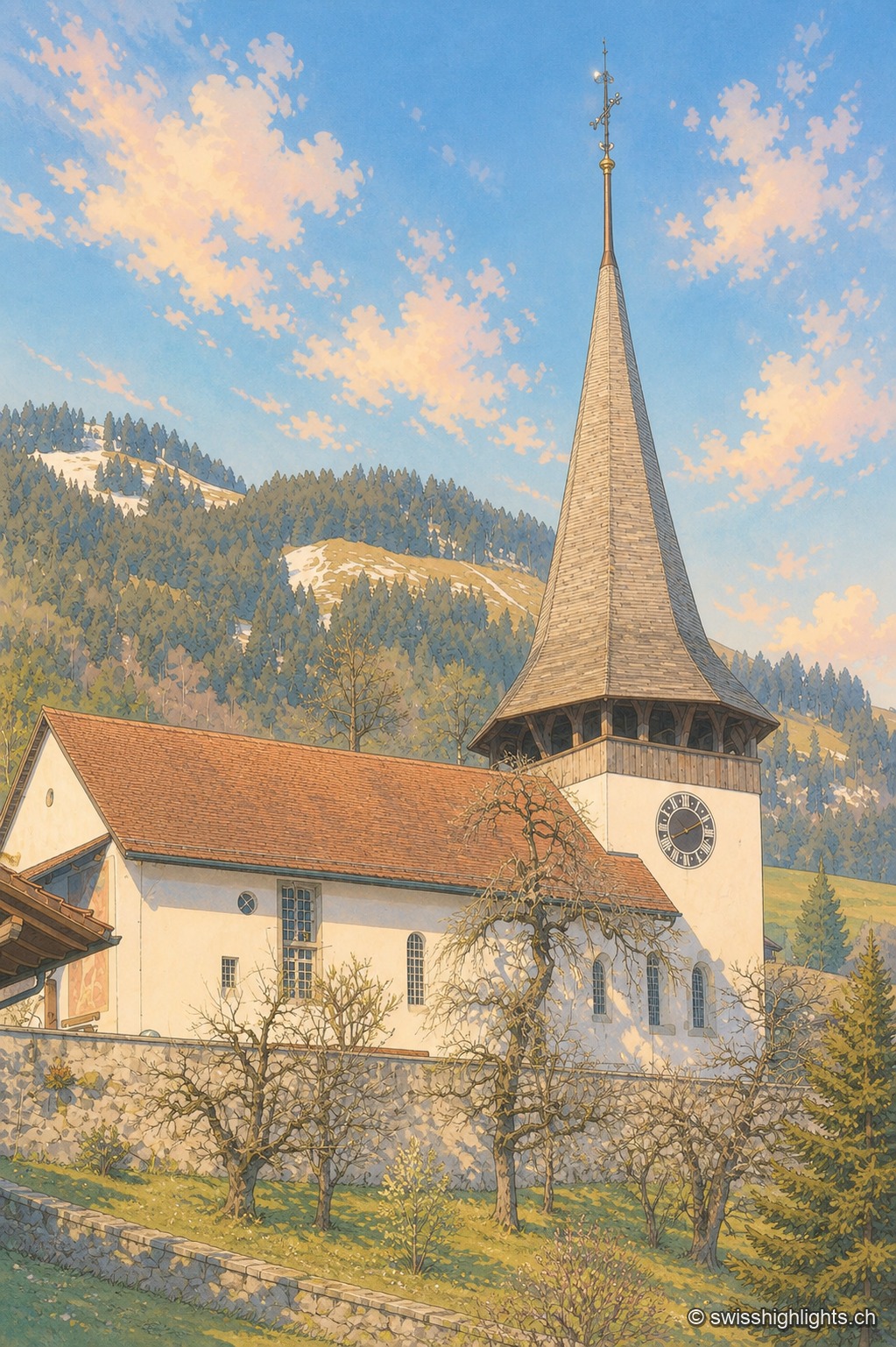
Gothic frescoes, birthplace of the Amish · 13 km as the crow flies
Erlenbach im Simmental
Whitewashed over during the Reformation (1527/28), the church's Gothic frescoes were thereby preserved until their restoration in 1931-32. An organ built in 1812 by Johannes Stölli completes this Bernese heritage.