City on a slope · Lake Geneva
Lausanne
The fourth city of Switzerland, built on three hills and on a slope of more than 500 metres running down to Lake Geneva.
Lausanne is built on a slope. From the harbour of Ouchy, at 374 metres, to the Chalet-à-Gobet pass, at 873, the commune crosses more than 500 metres of height over 41.38 km². The centre stands on three hills — la Cité, le Bourg, Saint-Laurent — separated by the ravines cut by the Flon and the Louve and joined by the Grand-Pont and the pont Bessières; sixteen rivers run across the communal territory. The city counted 144,873 inhabitants on 31 December 2024, and its agglomeration 438,438 on 31 December 2021: it is the fourth in Switzerland by population, after Zurich, Geneva and Basel.
The name comes from the Celtic lausa, a flat stone, and from a suffix used to form the names of watercourses: Lousonna first meant the Flon, or part of its course, before naming the Gallo-Roman vicus founded on the lakeshore from 15 BC, where the district of Vidy now lies. In the middle of the fourth century the vicus was left behind: people moved up to the hill of la Cité, which its escarpments made defensible. Lausanne then became a stage on the via Francigena — Sigeric records it as Losanna in 990 — and from 1032 to 1536 the bishop and the chapter governed here a small ecclesiastical state reaching from the Veveyse to the Venoge, including the Lavaux vineyard.
The cathedral of Notre-Dame was built in the main between about 1170 and 1230. It is the most important Gothic cathedral in Switzerland, and the first of that style raised outside French territory: its models were taken from northern France and southern England. Pope Gregory X and Emperor Rudolf consecrated it in 1275; the city then became a Marian pilgrimage site drawing more than 70,000 people a year, nearly ten times its population at the time. Its Painted Portal is one of the few in Europe still holding substantial traces of its original polychromy, and a watchman still calls the hour from the belfry to the four points of the compass, every night of the year.
What Lausanne became rests on a few decisions. The opening of the Simplon tunnel, in 1906, made it an international rail junction. In 1915 Pierre de Coubertin moved the headquarters of the International Olympic Committee here; the city has held the official title of Olympic Capital since 1993. The Palais de Rumine, raised in 1896 by the Lyon architect Gaspard André, holds the place de la Riponne and houses museums today. The first pedestrian zone in Switzerland was created here in 1962, and the M2 metro, opened in 2008, is the country's first automatic metro. On the Dorigny fields by the lake, the campus brings together the University of Lausanne and the Federal Institute of Technology, some 26,000 students.
Why this place is remarkable
Lausanne cannot be visited on the flat. The city crosses more than 500 metres between the harbour of Ouchy and the Chalet-à-Gobet, and its centre stands on three hills separated by two ravines that had to be bridged or filled: the bridges, the tunnel and the metro are a consequence of the relief, not a decoration. At the top, a cathedral begun about 1170, whose portal still keeps its paint; at the bottom, the lake. And since 1915 the International Olympic Committee has had its seat here — a second, less visible reason to be known.
History and origin
The site has been inhabited since 6000 BC according to the Historical Dictionary of Switzerland. The vicus of Lousonna, founded on the lakeshore from 15 BC, grew until the middle of the third century, declined with the Germanic invasions and gave way to the hill of la Cité in the middle of the fourth century. The episcopal state lasted from 1032 to 1536; in that year the Bernese took the city, the bishop fled, the Reformation was established and the academy founded. The relief long dictated the rest: only in the nineteenth century did the 'crossing of Lausanne', designed by the engineer Adrien Pichard, span the Flon ravine with a great bridge and pierce the spur of la Barre with a tunnel.
What to do and see
- Climb to Notre-Dame Cathedral, built between 1170 and 1230, and observe the Painted Portal, which retains traces of its original polychromy.
- Descend from the Chalet-à-Gobet pass to the port of Ouchy, following the elevation drop of over 500 meters that structures the city.
- Cross the Grand-Pont or the Bessières bridge, which link the three hills of the Cité, the Bourg and Saint-Laurent.
- See the Palais de Rumine, built in 1896 on the Place de la Riponne.
Coming with family: what to know
- The relief is marked: more than 500 meters of elevation gain between the lake and the Chalet-à-Gobet, to consider when organizing a walk with children.
As a couple
- Notre-Dame Cathedral at the top of the Cité, with its night watchman who still calls out the hour every night.
- A descent toward the port of Ouchy and the shore of Lake Geneva.
- The ravines of the Flon and the Louve, spanned by the Grand-Pont, to observe from the heights.
- The Dorigny campus, by the lake, for a quieter stroll.
Location
Loads an interactive Google Maps view on demand, from the place's verified coordinates.
The embedded map will be enabled once an authorized Google Maps key is configured. Use the link above in the meantime.
The map could not load. Check your connection or use the link above to open the place in Google Maps.
Related places
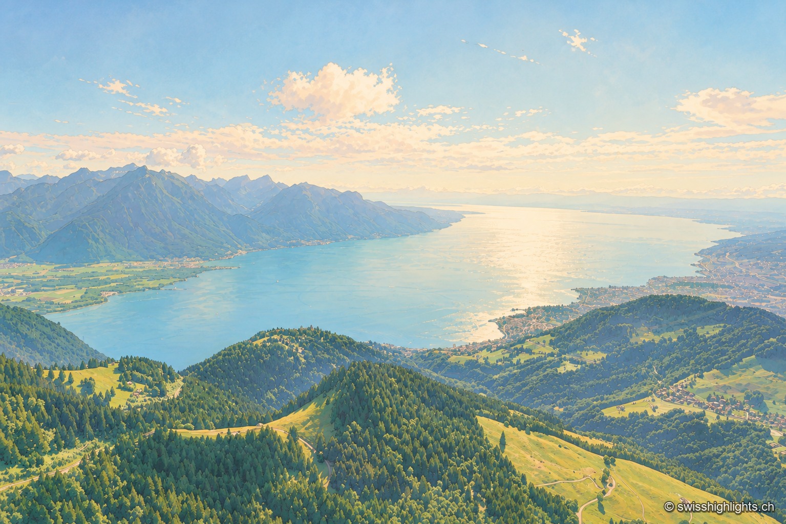
Glacial lake · Vaud, Geneva, Valais · 11 km as the crow flies
Lake Geneva
72.8 km long and 309.7 m deep, Lake Geneva draws 75% of its inflow from the Rhône. The northern shore is Swiss, the southern shore French, and the border runs through the water.
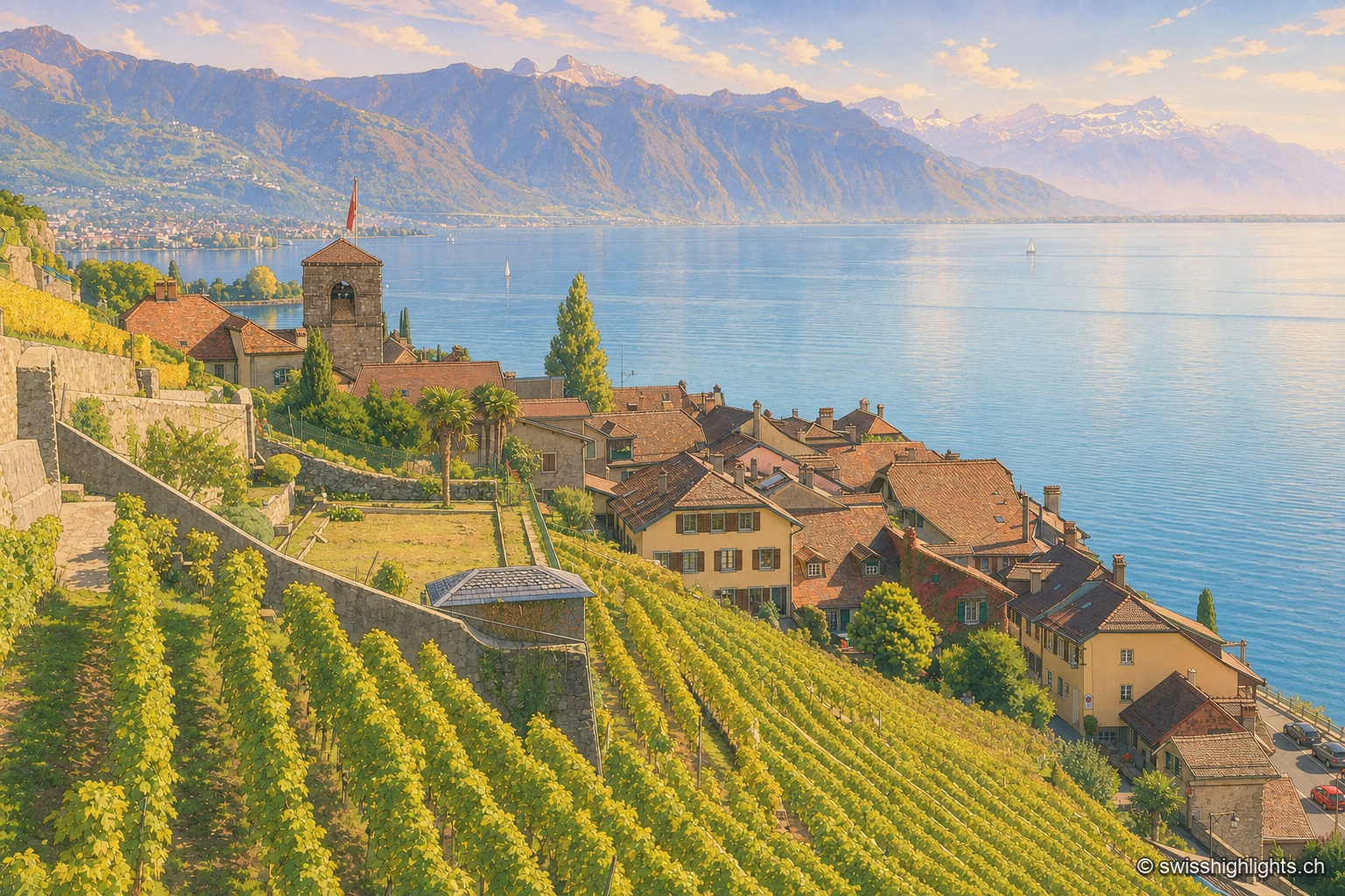
Wine village · Vaud · 15 km as the crow flies
Saint-Saphorin
The original village, at the water's edge, was destroyed by the Tauredunum landslide in 563. Rebuilt higher up, it gathered around a church raised between 1517 and 1521, whose floor still covers Roman remains.
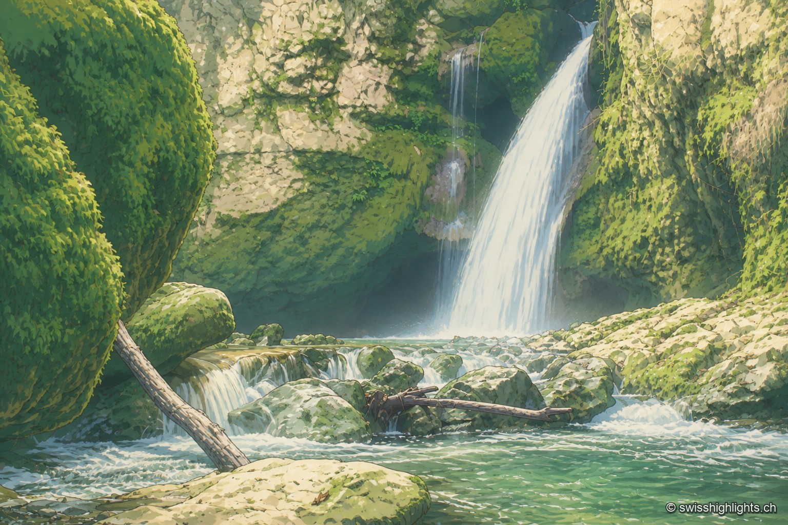
Rock cirque · Vaud Jura · 17 km as the crow flies
Tine de Conflens
Named after a Vaud patois phrase meaning 'confluence falls', the Tine de Conflens brings together two waterfalls: the Veyron's and the Venoge's, which it swells. A steep but maintained path leads to their foot.