Town on the Birs · Basel-Landschaft
Laufen
A town in the canton of Basel-Landschaft on the Birs river, part of the Prince-Bishopric of Basel until 1792 and of the canton of Bern from 1815.
Laufen (French: Laufon) is a commune in the canton of Basel-Landschaft, in the Laufen district, built along the Birs in the valley that bears its name. The commune's territory rises to 670 metres on the Nettenberg, its lowest point lying at 348 metres beside the river. The commune's coat of arms repeats that of Basel in inverted colours: the bishop's crosier, black on a white ground in Basel, appears white on a black ground here.
The town belonged to the Prince-Bishopric of Basel until 1792, then was annexed by France from 1793 to 1813, first within the département of Mont-Terrible, then within that of Haut-Rhin. In 1815 the Congress of Vienna assigned the former Prince-Bishopric of Basel to the canton of Bern. Having refused in 1974 to join the new canton of Jura, the Laufental finally chose in 1994, at the end of the process born of the Jura question, to join the canton of Basel-Landschaft.
The church of Sainte-Catherine, built from 1698, the former neoclassical town hall and the former prefecture line a main street closed by an upper gate (Obertor), a lower gate (Untertor) and a gate onto the Birs (Wassertor). Laufen is also home to the headquarters of Ricola, the industrial confectionery maker.
Why this place is remarkable
Laufen owes its shape to its position along the Birs, between the upper and lower gates that close its main street, lined by the church of Sainte-Catherine, built from 1698, and the neoclassical former town hall. Part of the Prince-Bishopric of Basel until 1792 and then of the canton of Bern from 1815, the commune chose in 1994, at the end of the Jura question, to join the canton of Basel-Landschaft — after refusing, twenty years earlier, to join the new canton of Jura.
History and origin
Laufen belonged to the Prince-Bishopric of Basel until 1792, before being annexed by France from 1793 to 1813, first within the département of Mont-Terrible then within that of Haut-Rhin. The Congress of Vienna assigned the former Prince-Bishopric of Basel to the canton of Bern in 1815. In 1974 the Laufental refused to join the new canton of Jura; it finally chose in 1994, at the end of the process born of the Jura question, to join the canton of Basel-Landschaft.
What to do and see
- Walk the main street between the upper gate (Obertor) and the lower gate (Untertor).
- See the Church of St. Catherine, built starting in 1698, and the former town hall with its neoclassical façade.
- Spot the communal coat of arms, which reprises Basel's in reversed colors.
- Walk along the Birse river, which flows through the town and the valley of the same name.
Coming with family: what to know
- The route is limited to a main street and a few buildings close to one another, with no details on walking distances.
As a couple
- A walk along the main street, between fortified gates and old façades.
- The Church of St. Catherine and the former neoclassical town hall, a few steps from each other.
- A moment by the Birse river, which gives its name to the valley.
Location
Loads an interactive Google Maps view on demand, from the place's verified coordinates.
The embedded map will be enabled once an authorized Google Maps key is configured. Use the link above in the meantime.
The map could not load. Check your connection or use the link above to open the place in Google Maps.
Related places
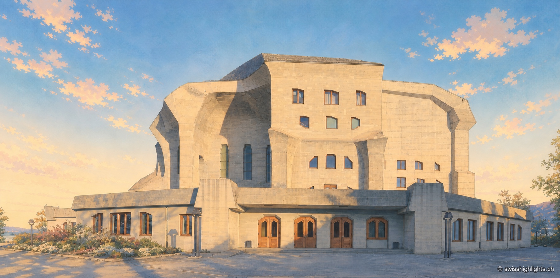
Monument · Dornach, Solothurn · 12 km as the crow flies
Goetheanum
The first building, in wood, burned down on New Year's night 1923. The second, raised from 1925 to 1928, was the first monumental building in reinforced concrete; its great hall was not inaugurated until 1998.
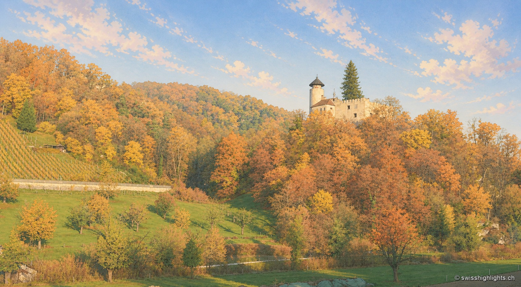
Village and garden · Basel-Land · 12 km as the crow flies
Arlesheim
The collegiate church and the canons' houses, built from 1679, close a square laid out in one design. Beyond the village, the Ermitage spreads its grottoes, ponds and paths over some forty hectares.
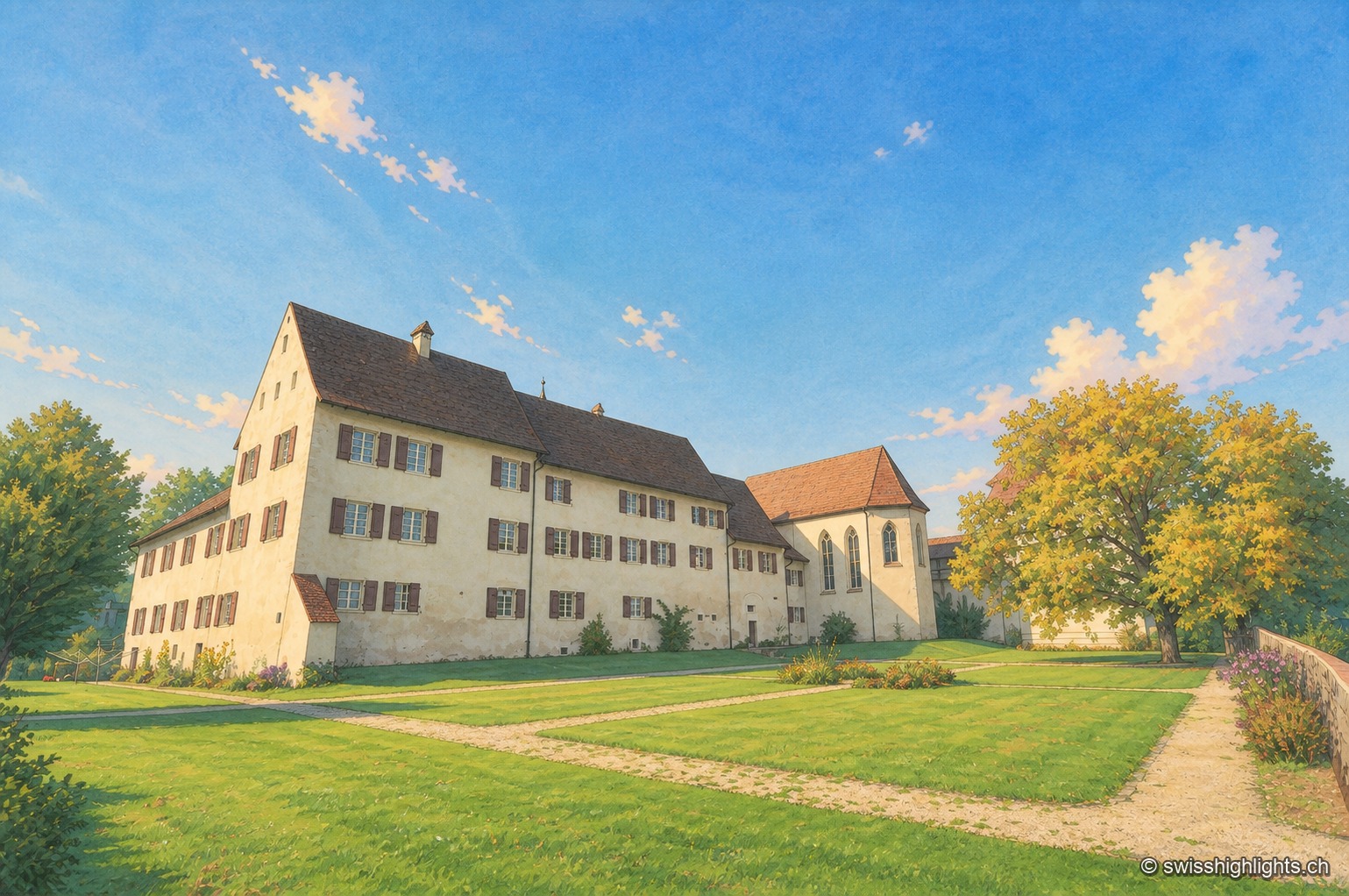
Hamlet and ruin · Jura · 14 km as the crow flies
Löwenburg
The hamlet of Löwenburg, the only German-speaking part of the commune of Pleigne, combines a castle ruin founded in the 10th century with a 16th-century fortified farm; the Christoph Merian Foundation of Basel has restored it since 1956.