Pilgrimage village · Lucerne
Luthern
At the foot of the Napf, a Lucerne commune scattered into four hamlets, among them Luthern Bad, a Marian pilgrimage site recorded since 1581.
Luthern is not one village but four, plus scattered farms, spread through the upper valley of the Luthere across a territory 12.2 kilometres long from north to south: Hofstatt, Flühlen, Luthern Dorf and Luthern Bad. This is Napf country, rising to 1,406 metres on the Bernese boundary: grassy ridges separated by wooded hollows, farms at the end of tracks, almost no level ground. The name first appears in 1275, as Lutrun, in a papal register of the settlements of the diocese of Constance.
At the centre of Luthern Dorf, the parish church of St Ulrich and what surrounds it — presbytery, tithe barn, communal house — form an ensemble built in one movement between 1752 and 1781, on the initiative of the abbey of St Urban. The church itself, raised in 1752-1753 by Jakob Singer and Johann Josef Purtschert, set a pattern: the spatial scheme tried out here dominated religious architecture in central Switzerland for a century.
Four kilometres higher, at the foot of the Napf, Luthern Bad is a Marian pilgrimage site recorded since 1581. Tradition holds that a local man crippled by gout, Jakob Minder, washed in a spring the Virgin had shown him in a dream and rose healed; the Lucerne government held an inquiry in 1583, and the Badbrünnli chapel was built that same year. Pilgrims still come to the spring; the present pilgrimage church, Maria-Heilbronn, was consecrated in 1950. The commune, for its part, has long been emptying: 1,248 inhabitants at the end of 2022, after successive waves of departure for the industrial regions.
Why this place is remarkable
The interest lies in a gap: on one side a village core conceived and built in a single stroke between 1752 and 1781, with a church whose spatial scheme set a pattern in central Switzerland; on the other, four kilometres higher in a valley that closes in, a pilgrimage spring visited since 1581 and its chapel of 1583. Nothing spectacular, everything at human scale, in a country of grassy ridges where forest covers close to half the ground.
History and origin
The valley of the Luthere formed a lordship tied to the Schwarzenbach estate and to Walsberg castle, now a ruin. The name appears in 1275; the valley then changed hands several times — to the knights of Hünenberg, then to private owners, one of whom sold his share to the city of Lucerne, which attached the valley to the bailiwick of Willisau. The relief settled the rest: across the commune's 37.9 km², pasture and forest take up almost everything, and close to 1,478 millimetres of precipitation fall each year.
What to do and see
- See in Luthern Dorf the group of buildings raised in a single campaign between 1752 and 1781 around the church of Saint-Ulrich, the parsonage and the tithe barn.
- Go up to Luthern Bad, a Marian pilgrimage site attested since 1581, and see the Badbrünnli spring linked to the legend of Jakob Minder.
- Cross the landscape of grassy ridges and wooded hollows at the foot of the Napf, which reaches 1,406 metres.
As a couple
- Compare the village core of Luthern Dorf, built in a single stretch between 1752 and 1781, with the pilgrimage spring of Luthern Bad, four kilometres higher up.
- Walk among the grassy ridges and isolated farms of the Napf region.
The Swiss army maintains a firing range on communal territory, at the Bodenänzi: access to that sector is regulated and may be closed.
The Swiss army has a shooting range at Bodenänzi, within the municipal territory: access to this area is regulated and may be closed.
Location
Loads an interactive Google Maps view on demand, from the place's verified coordinates.
The embedded map will be enabled once an authorized Google Maps key is configured. Use the link above in the meantime.
The map could not load. Check your connection or use the link above to open the place in Google Maps.
Related places
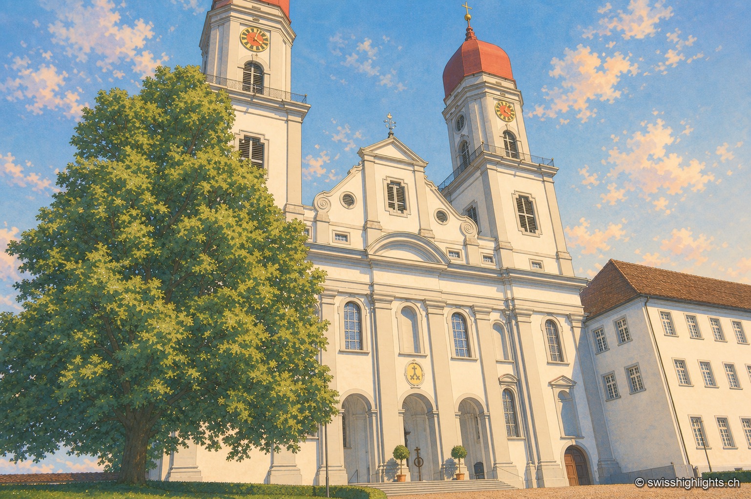
Former abbey · Lucerne · 20 km as the crow flies
Saint Urban's Abbey
Its choir stalls of 1700-1707 were sold as far as Scotland before being bought back in 1911 and reinstalled. Since 1873 the former monastery has housed a cantonal psychiatric institution.
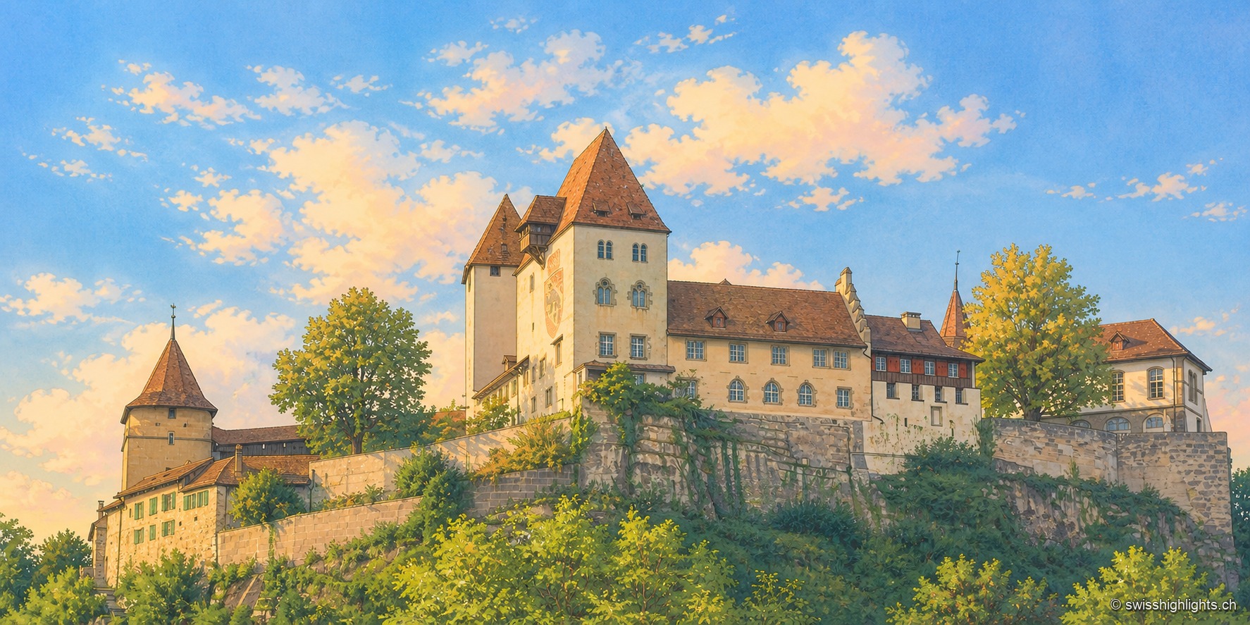
Emmental town · Bern · 22 km as the crow flies
Berthoud (Burgdorf)
The castle holds the sandstone spur above the town; its name appears as early as 1084. In 1273 the Goldene Handfeste set the town's law in writing, in force for five centuries. In 1899 the line to Thun made it a laboratory of electric traction.
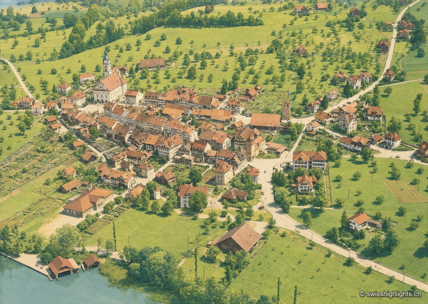
Battle town · Lucerne · 23 km as the crow flies
Sempach
On 9 July 1386, the Battle of Sempach saw the Lucerners and their allies defeat the Habsburgs; the Sempach Pact was signed there in 1393. The town received the Wakker Prize in 2017 for preserving its old town.