National park · Grisons
Swiss National Park
Switzerland's only national park: 172 km² of the Engadine withdrawn from all human intervention since 1914, where the forest came back on its own.
The Swiss National Park covers 172 km² of the Engadine and the Val Müstair, in the canton of Grisons; across the border it adjoins the Stelvio National Park. The ground rises from 1,400 metres to 3,173 metres at Piz Pisoc. More than half the surface — 51 % — carries no vegetation at all: scree, slabs, ridges. Forest covers 28 %, almost entirely conifers, and alpine grassland 21 %.
What sets this territory apart is not obvious at first sight: nothing here is tended. The federal law that governs it makes it a reserve where flora and fauna are left to their own natural development. No tree is felled, no herd is driven, no animal is fed or culled. Visitors keep to 80 kilometres of official paths, which they may not leave, including where the slope looks open.
The wildlife benefits from this abstention. Red deer number 1,800 to 2,000, above all in the Val Trupchun, the Val Cluozza and the Val dal Botsch; chamois, ibex and marmots are present in numbers. The bearded vulture, on the brink of extinction in the Alps, is the subject of a reintroduction programme in the Val Stabelchod, where birds have been released since 1991. The spotted nutcracker, the park's emblem, holds the conifer forests, and several golden eagle eyries are recorded. Among plants, mountain pine dominates, together with edelweiss and the very rare Ladin whitlowgrass.
The park's standing has grown over time: a UNESCO biosphere reserve since 1979, added in April 2021 to the Green List of the International Union for Conservation of Nature. It ranks among strict nature reserves, the most protective category, and it has a core zone only, with no outer buffer around it. The land belongs to the communes of Zernez, S-chanf, Scuol, Valchava and Lavin, which lease it to the public-law foundation in charge of the park.
Why this place is remarkable
Switzerland has a single national park, and its founding, in 1914, was among the earliest in Europe. A century of abstention has one visible consequence: the forest, almost entirely cleared in earlier centuries to feed lime kilns and win pasture, has rebuilt itself without a single planting. It has another, less visible one — the park has become a long-term observation ground, where one measures what an alpine slope becomes when nobody tends it any more.
History and origin
It began in 1909: naturalists alarmed at the damage being done to nature founded the Swiss League for the Protection of Nature, today Pro Natura, and launched a public subscription — one franc per person — to pay the lease of the Val Cluozza, on the land of Zernez. The Confederation took that lease upon itself on 3 April 1914 by federal decree, and the park was founded on 1 August of the same year. A federal law of 19 December 1980 replaced the decree and set the present regime. The perimeter has kept moving: the Macun lakes, in the commune of Lavin, joined the core zone in 2000.
What to do and see
- Walk the park's 80 kilometres of official paths, the only permitted routes, never leaving them.
- Watch for wildlife in the Val Trupchun, Val Cluozza and Val dal Botsch, where most of the park's 1,800 to 2,000 red deer concentrate.
- Look for the spotted nutcracker, the park's emblem, and search for the golden eagle eyries recorded in the coniferous forests.
- Gauge, along the way, the effect of a century of total non-intervention: the forest, almost entirely cleared before 1914, has regenerated without a single planting.
Coming with family: what to know
- Mountain terrain between 1400 and 3173 metres where weather changes fast: storms and snow remain possible into spring.
As a couple
- Choose a path toward the Val Trupchun to watch red deer, while respecting the obligation to stay on marked trails.
- Watch for the bearded vulture, reintroduced since 1991 in the Val Stabelchod after coming close to extinction in the Alps.
- Observe the alpine meadows and scree that make up more than half the park's surface, between 1400 and 3173 metres.
The park is mountain terrain, from 1,400 to 3,173 metres, where the weather turns quickly: storms and snow remain possible into spring.
The park's legal regime forbids leaving the marked paths; a visit is made on foot.
The park's legal regime forbids leaving the marked paths; the whole visit is on foot, which requires a walk suited to the children's age.
Location
Loads an interactive Google Maps view on demand, from the place's verified coordinates.
The embedded map will be enabled once an authorized Google Maps key is configured. Use the link above in the meantime.
The map could not load. Check your connection or use the link above to open the place in Google Maps.
Related places
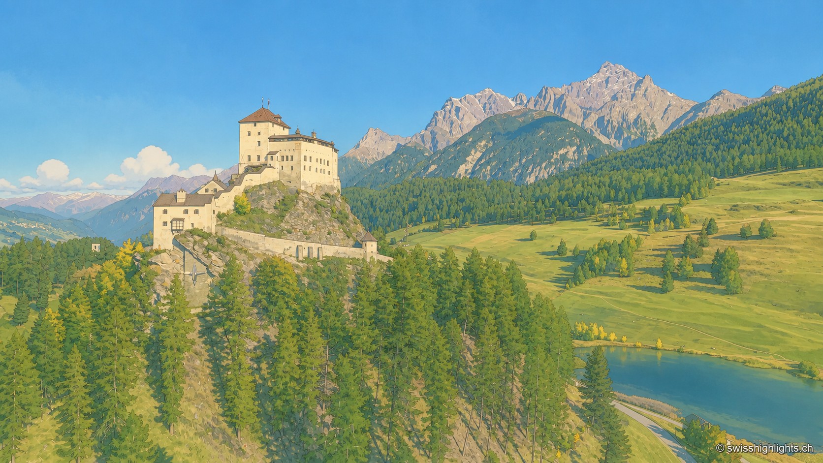
Engadine village · Grisons · 15 km as the crow flies
Tarasp
Tarasp has no centre: its hamlets are spread along the right bank of the Inn, around the rock the castle crowns. Catholic in a Reformed valley, the lordship stayed Austrian until 1803.
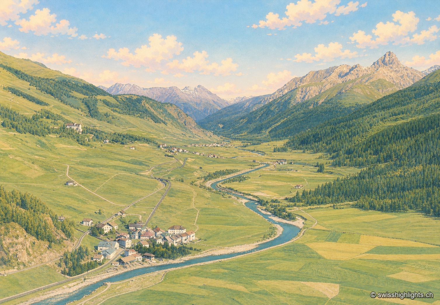
Village · Upper Engadine, Grisons · 18 km as the crow flies
Madulain
First recorded in 1137-1139 as Madulene, the village is overlooked by the ruins of Guardaval Castle, built in 1251 for the Bishop of Chur. Madulain joined the Les Plus Beaux Villages de Suisse association in 2018.
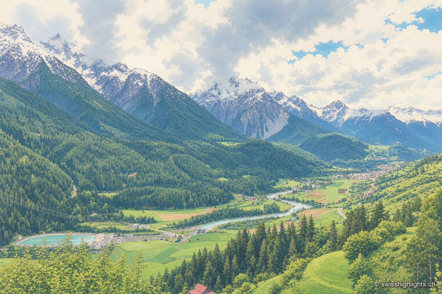
Village · Grisons · 22 km as the crow flies
Sent
Recorded as early as 930, Sent occupies a terrace at about 1,440 metres above the Inn. Its houses carry sgraffito and the curved gable that took the village's name; the slope below them is terraced and lined with hedges.