Ticino · Lake Lugano
Morcote
On the shore of Lake Lugano, a village strung along the water beneath a church reached by 404 steps.
Morcote is strung along the shore of Lake Lugano, at the foot of Monte Arbostora, facing the Italian shore at Porto Ceresio. Part of the municipal boundary on the water follows the border.
Above the roofs stands the church of Santa Maria del Sasso: a 13th-century chapel, enlarged between 1462 and 1478, then turned around in 1578 when a choir was added to the south. It is reached by 404 steps, built in 1732 and then between 1861 and 1863.
The monumental cemetery dates from 1750. Further along the shore, Parco Scherrer terraces down a steep slope the buildings and sculptures gathered between 1930 and 1956 by the textile merchant Hermann Arthur Scherrer.
Why this place is remarkable
Until the Melide causeway was built in 1847, Morcote was the largest port on Lake Lugano and the place where goods were transferred to boats bound for northern Italy. The village drawn out along the water still holds the shape of that role.
History and origin
The name appears in 926 in the phrase habitator in Murcao; it probably derives from the Latin muricatum, 'walled'. In 1422 the Duke of Milan granted the community the election of its podestà along with fishing and market rights. Morcote became an independent parish in 1583. In 1862 a landslide swallowed seven houses into the lake.
What to do and see
- Climb the 404 steps, built in 1732 and then between 1861 and 1863, up to the church of Santa Maria del Sasso.
- See the choir added in 1578 to the 13th-century chapel, enlarged between 1462 and 1478.
- Stroll through Scherrer Park, buildings and sculptures gathered between 1930 and 1956 on the slope above the lake.
- Walk along the village lined up on Lake Lugano, a legacy of its former role as the largest port before the Melide dike in 1847.
Coming with family: what to know
- Climbing the 404 steps to the church requires physical effort to take into account depending on the children's age.
As a couple
- Climb the 404 steps together up to the church of Santa Maria del Sasso for the view over the lake.
- Stroll through Scherrer Park, terraced on the slope above the shore.
- Walk along the lakeside facing the Italian shore of Porto Ceresio.
- Stop at the 1750 monumental cemetery.
Location
Loads an interactive Google Maps view on demand, from the place's verified coordinates.
The embedded map will be enabled once an authorized Google Maps key is configured. Use the link above in the meantime.
The map could not load. Check your connection or use the link above to open the place in Google Maps.
Related places
Village · Ticino · 5 km as the crow flies
Meride
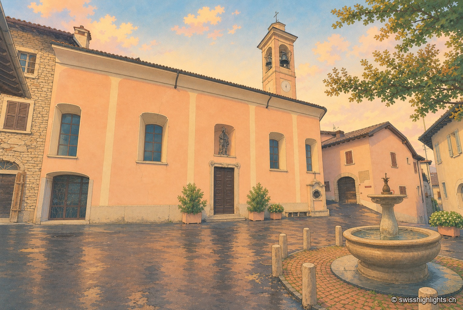
Recorded as early as 852, Meride long lived off the departure of its stucco workers and painters for northern Europe. Its land runs up to the summit of Monte San Giorgio, World Heritage listed in 2003 for its fossils.

Lakeside city · Ticino · 10 km as the crow flies
Lugano
The country's third financial centre, Lugano hosted the first Eurovision Song Contest in 1956 and has, since the mergers of 2004, 2008 and 2013, an agglomeration of about 150,000 inhabitants on the shore of Lake Lugano.
Village · Valle di Muggio, Ticino · 11 km as the crow flies
Muggio
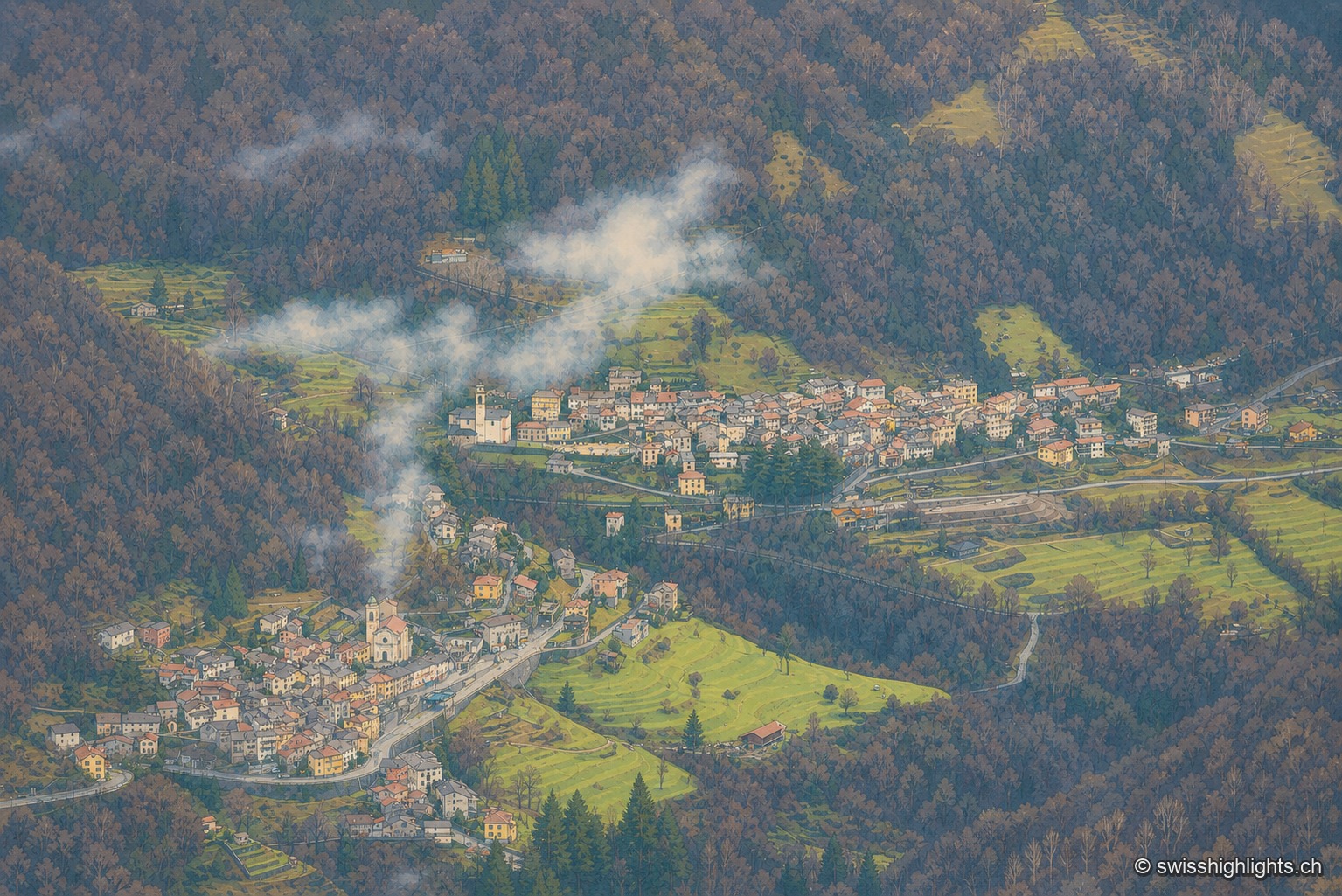
Recorded in 852, it gave its name to the Valle di Muggio. In the fifteenth century its craftsmen cut the long oars of the Duchy of Milan's fleet; its church of San Lorenzo was rebuilt in 1760.