Village · Valle di Muggio, Ticino
Muggio
A Ticino village at 665 metres, in the southernmost valley of Switzerland, to which it gave its name.
Muggio stands at 665 metres, about ten kilometres north-east of Mendrisio, in the valley to which it gave its name: the southernmost in Switzerland, cut by the middle course of the Breggia. The village includes the hamlets of Scudellate and Roncapiano. Its land is three-quarters wooded — over the 8.39 square kilometres of the former commune, 77.1% forest against 8.2% farmland.
The name appears in 852, in the form Mugio. The valley has been inhabited since antiquity; in the ninth century unfree peasants worked holdings here, and in 1299 several plots belonged to the cathedral chapter of Como. In church matters Muggio long depended on Cabbio: only after 1673 did it become a vice-parish, attached until the nineteenth century to the mother church at Balerna.
The village has a history of work and of departures. In the fifteenth century its craftsmen had specialised in making the long wooden oars for the military fleet of the Duchy of Milan. Later, farming and livestock were no longer enough: large waves of emigration followed one another between 1850 and 1940, and since the 1950s the population has kept falling.
The built fabric survived those departures, and it is classed as of national importance in the ISOS inventory of protected settlements. The parish church of San Lorenzo, recorded from 1578, was rebuilt in 1760 to plans by Giuseppe Fontana: a baroque façade, trompe-l'œil frescoes in the dome. Opposite stands the Casa Cantoni-Fontana, an eighteenth-century house. To these are added the oratory of San Giovanni Battista, attested from 1582, the public washhouses, two neoclassical fountains raised in 1838 to plans by Luigi Fontana, and a nevèra at the Alpe Génor.
Why this place is remarkable
Few villages keep so precise a trace of their former trade: in the fifteenth century the craftsmen of Muggio cut the long wooden oars of the military fleet of the Duchy of Milan. What remains today lies in the built fabric — public washhouses, colonnaded fountains of 1838, an alpine nevèra, a baroque church rebuilt in 1760 — classed as of national importance in the ISOS inventory. The village has also been, since 2016 and together with Cabbio, a member of the association of the most beautiful villages of Switzerland.
History and origin
The end of the commune of Muggio was settled in the courts. On 20 April 2008 the merger of Bruzella, Cabbio, Caneggio, Morbio Superiore, Muggio and Sagno into a commune of Breggia was announced; Muggio refused it. The Ticino Grand Council issued a decree all the same, against which the commune appealed to the Federal Supreme Court. The appeal was lost and the merger took place on 25 October 2009. Muggio nevertheless keeps its patriziato: the families native to the place answer for the upkeep of the property within the village boundaries.
What to do and see
- See in the parish church of San Lorenzo, rebuilt in 1760, the baroque facade and the trompe-l'œil frescoes of the dome.
- Spot the two neoclassical fountains built in 1838 to plans by Luigi Fontana, along with the public washhouses.
- Look for the alpine ice cellar at Alpe Génor, a witness to the village's former economy.
- Head to the hamlets of Scudellate and Roncapiano, in a valley three-quarters covered by forest.
Coming with family: what to know
- The village and its hamlets can be walked in a largely forested territory, with no particular constraint noted in the sources.
As a couple
- Stroll through the Muggio valley, the southernmost in Switzerland, carved by the Breggia.
- Stop in front of the Casa Cantoni-Fontana, an 18th-century residence facing the church of San Lorenzo.
- Look for the 1838 neoclassical fountains and the village's public washhouses.
Location
Loads an interactive Google Maps view on demand, from the place's verified coordinates.
The embedded map will be enabled once an authorized Google Maps key is configured. Use the link above in the meantime.
The map could not load. Check your connection or use the link above to open the place in Google Maps.
Related places
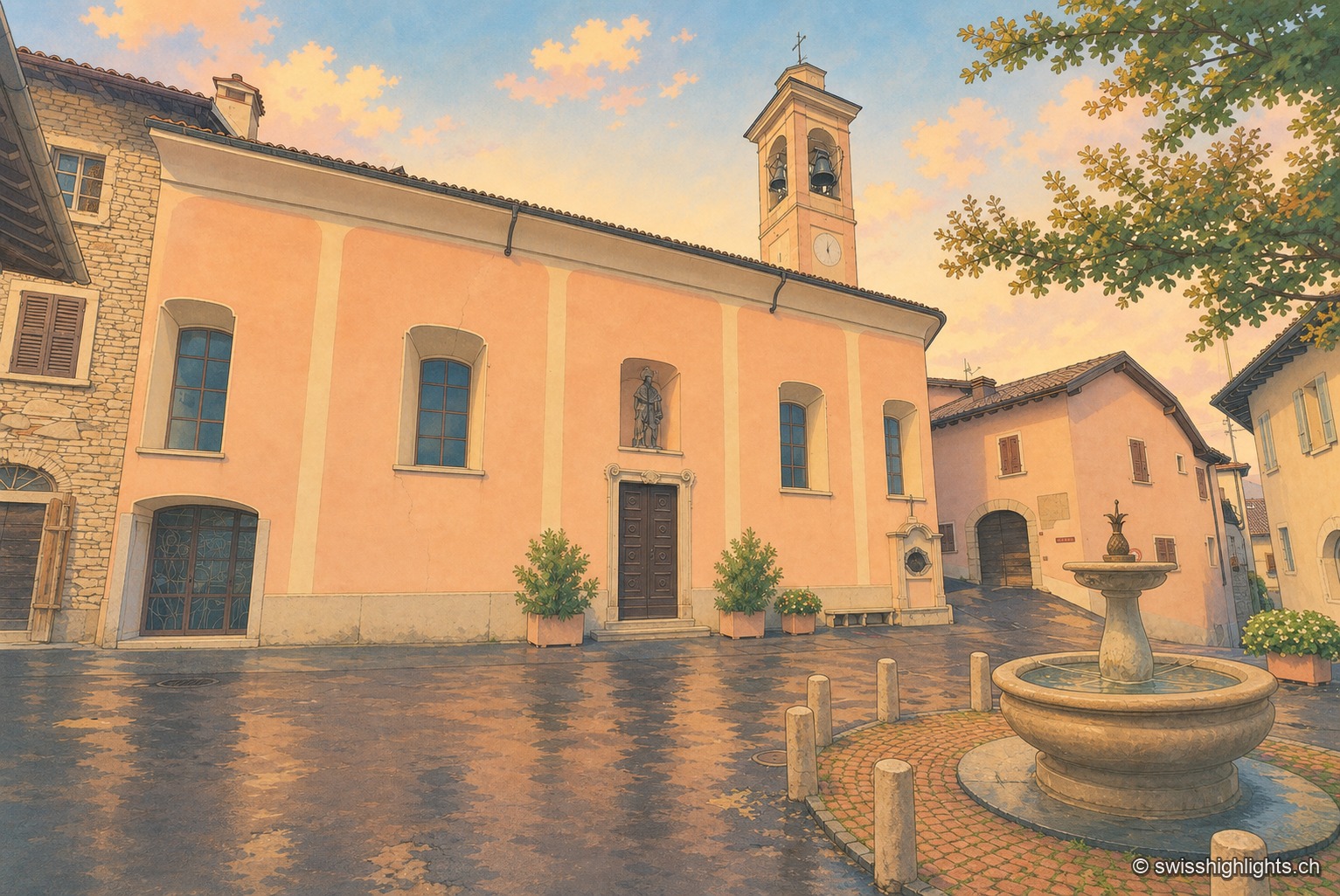
Village · Ticino · 8 km as the crow flies
Meride
Recorded as early as 852, Meride long lived off the departure of its stucco workers and painters for northern Europe. Its land runs up to the summit of Monte San Giorgio, World Heritage listed in 2003 for its fossils.
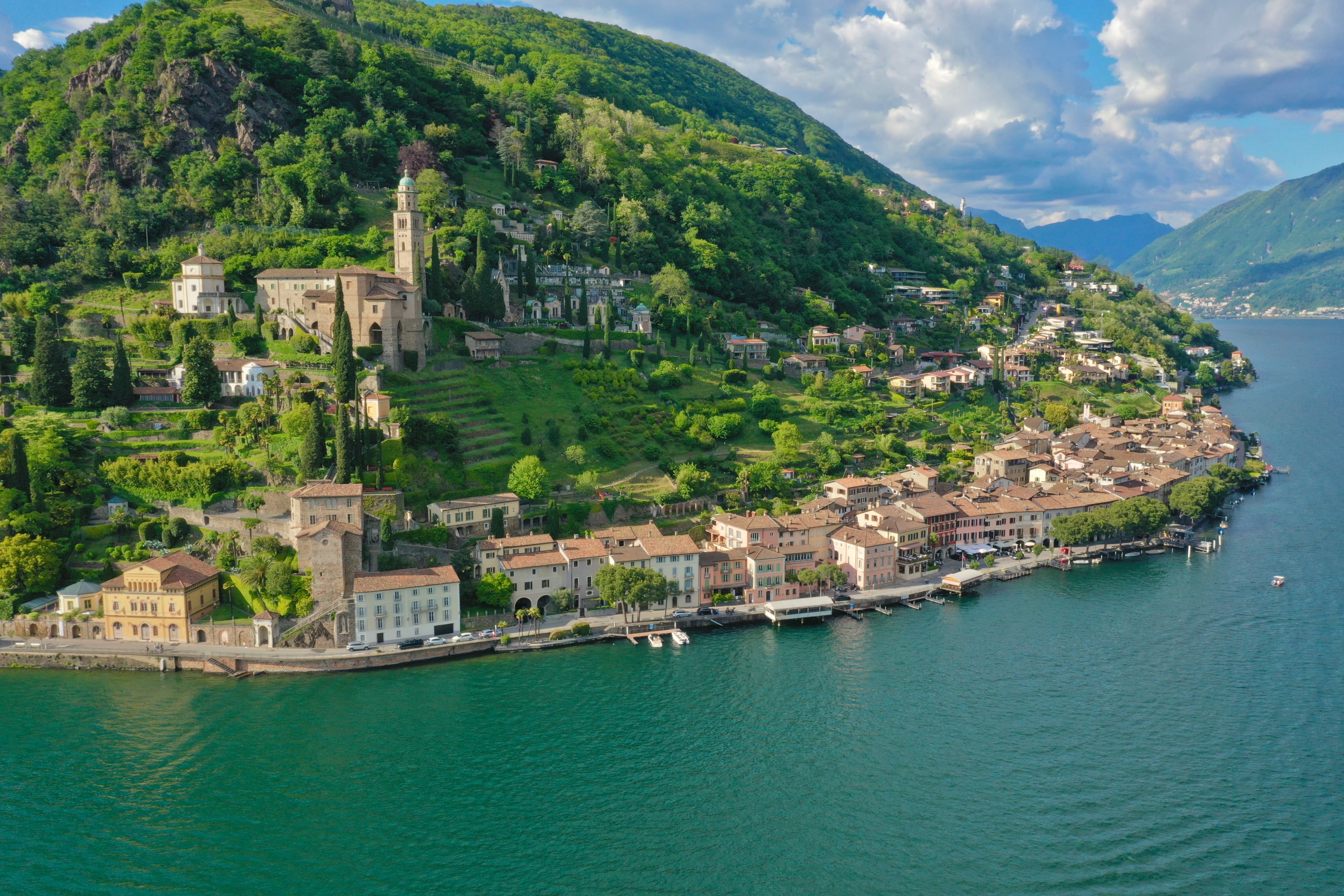
Ticino · Lake Lugano · 11 km as the crow flies
Morcote
Morcote is strung along the shore of Lake Lugano, facing Italy. Above the roofs stands the church of Santa Maria del Sasso; between them, a stairway of 404 steps and a cemetery of 1750.
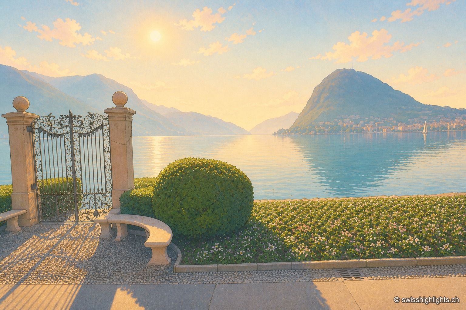
Lakeside city · Ticino · 14 km as the crow flies
Lugano
The country's third financial centre, Lugano hosted the first Eurovision Song Contest in 1956 and has, since the mergers of 2004, 2008 and 2013, an agglomeration of about 150,000 inhabitants on the shore of Lake Lugano.