Fortified town on the Broye · Vaud
Moudon
Perched on a spur above the Broye, Moudon was the seat of the Vaud bailiwick before becoming, from 1798, a district capital.
Moudon occupies a spur around which the Broye bends, in the district of Broye-Vully. The old town stretches along a single street on the fortified ridge, between the castle and the reformed church of Saint-Étienne, rebuilt in the 13th and 14th centuries on an earlier parish church. The municipality, with 6,646 inhabitants at the end of 2024 across 1,571 hectares, extends north to the Bussy-sur-Moudon plateau and west to the Cerjaule forests; its highest point, the wooded Bourlayes hill, reaches 850 metres. District capital of Moudon from 1798 to 2007, it joined the new Broye-Vully district in 2008.
The site was occupied as early as Roman times under the name Minnodunum, attested around 280; the present name appears in 1161. In 1011, the place passed into the domain of the bishop of Lausanne, before Count Amadeus I of Geneva raised a castrum there around 1127, the probable nucleus of the upper town. The dukes of Zähringen seized it around 1190, and Count Thomas I of Savoy received its investiture, as an imperial fief, on 1 June 1207.
Around 1260, Peter II of Savoy installed the seat of the Vaud bailiwick at Moudon: the town became an administrative and judicial centre, capital of the États de Vaud. It came under Bernese rule in 1536 and remained so until the end of the Ancien Régime. Between 1830 and 1850, its old gates were demolished and its streets widened. The old town, listed in the federal inventory of Swiss heritage sites (ISOS), preserves the castle and its Romanesque tower, the Layaz tower, several manor houses and the Fountain of Justice; Moudon has belonged since 2017 to the association Les plus beaux villages de Suisse.
The painter Eugène Burnand (1850-1921) and the poet Philippe Jaccottet (1925-2021) were born in Moudon. Taking refuge in the town in 1792, the French gastronome Jean Anthelme Brillat-Savarin is said, according to his biography, to have discovered the fondue recipe there. Residents are nicknamed the Mange-Plumes ('feather-eaters') and the Traîne-Bailli.
Why this place is remarkable
Few towns in Vaud offer such a direct reading of medieval power: a single spur carries, along its ridge, the succession of its masters — the castrum of the counts of Geneva, the Savoy stronghold that housed the Vaud bailiwick, then the Bernese bailiwick. Squeezed onto one street between ramparts and cliff, the upper town never had room to spread: it simply layered itself, up to the present church, whose 14th-century bell tower still dominates the rooftops.
History and origin
The name Moudon probably derives from the Celtic *Minnos and dūnon, 'citadel' or 'fortified enclosure'; its first written trace, as Minnodunum, dates to around 280. The spur on which the old town rises divides the Broye valley into two unequal slopes: steep, wooded terrain to the east, farmed hills to the west, up to the 850 metres of the wooded Bourlayes hill, the municipality's highest point.
What to do and see
- Follow the old town's single street along the fortified ridge, between the castle and the church of Saint-Étienne, rebuilt in the 13th and 14th centuries.
- Spot the traces of the town's different lords: the castle, its Romanesque tower, the Layaz tower and the Justice fountain.
- Observe from the spur the Broye valley, with wooded slope to the east and farming hills to the west.
Coming with family: what to know
- The town, tight along a single street between ramparts and cliff, can be walked without particular constraint noted in the sources.
As a couple
- Walk along the old town's single street, between castle and church of Saint-Étienne.
- Stop at the Justice fountain and in front of the lordly houses of the old town.
- Observe from the spur the Broye valley and the high point of the Bourlayes, at 850 metres.
Location
Loads an interactive Google Maps view on demand, from the place's verified coordinates.
The embedded map will be enabled once an authorized Google Maps key is configured. Use the link above in the meantime.
The map could not load. Check your connection or use the link above to open the place in Google Maps.
Related places
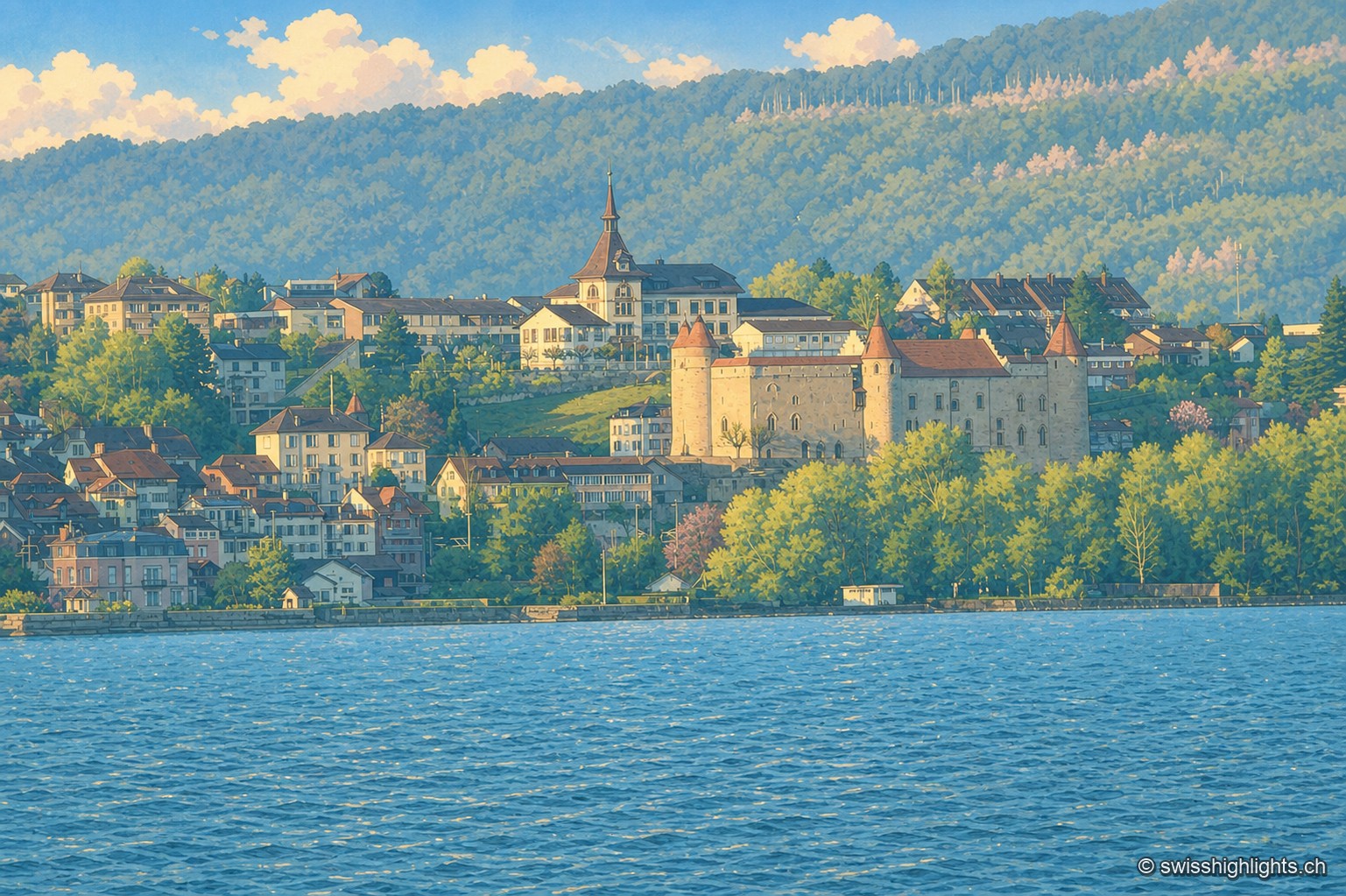
Historic town · Vaud · 19 km as the crow flies
Grandson
The castle of Grandson, at the centre of the town, overlooks the shores of Lake Neuchâtel where the Confederates defeated Charles the Bold on 2 March 1476; Grandson has belonged since 2016 to the Most Beautiful Villages of Switzerland.
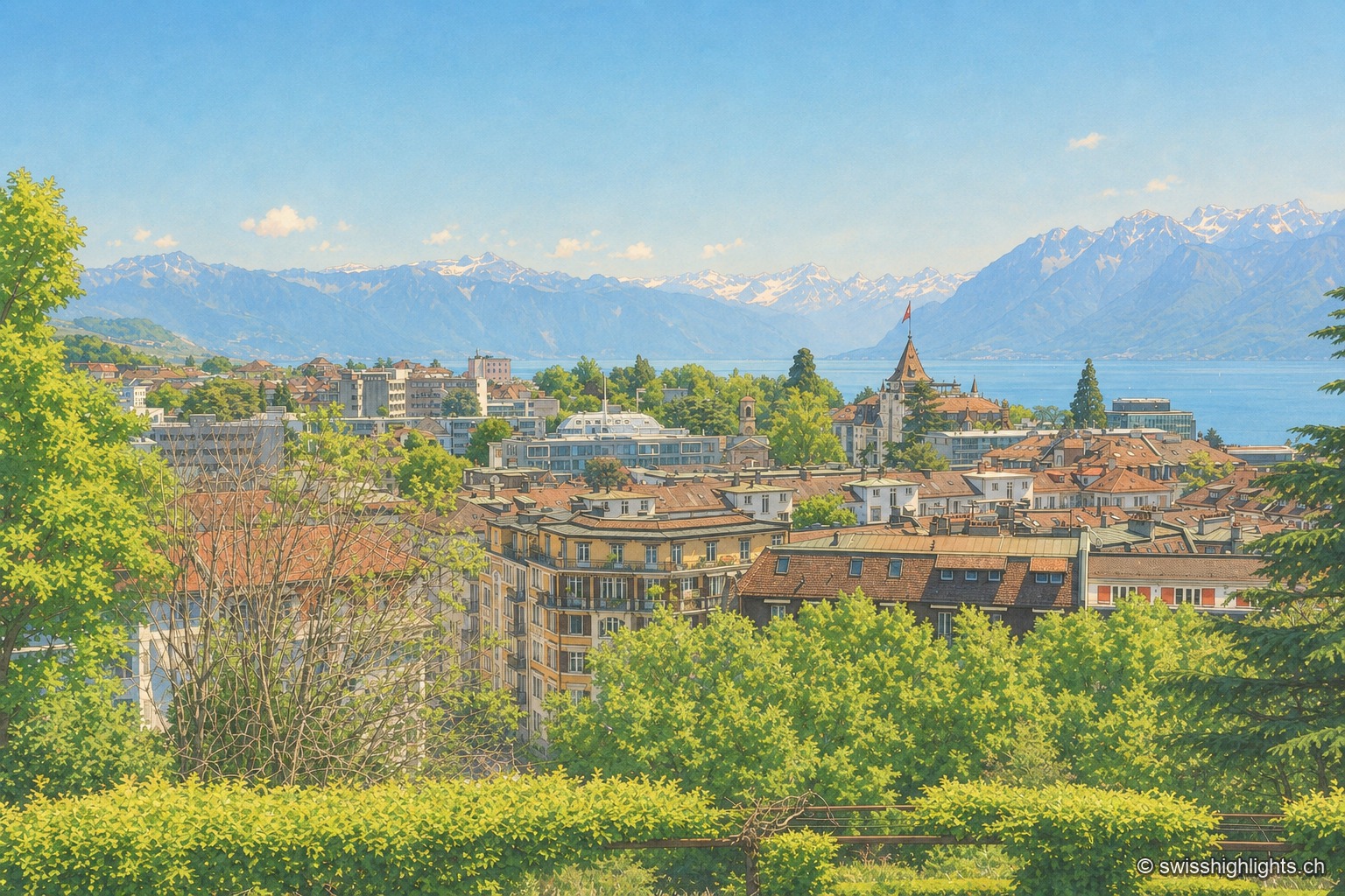
City on a slope · Lake Geneva · 20 km as the crow flies
Lausanne
Built on three hills above Lake Geneva, Lausanne climbs without pause. Its cathedral, raised between 1170 and 1230, is the most important Gothic one in Switzerland, and the International Olympic Committee has sat here since 1915.
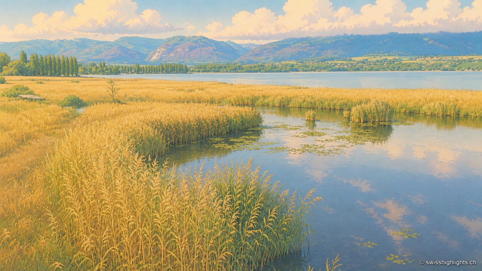
Lakeshore marsh · Lake Neuchâtel · 21 km as the crow flies
Grande Cariçaie
Eight intercantonal nature reserves cover about 3,000 hectares of reedbed, marsh and flooded forest. The landscape only exists because the Jura water correction lowered the lake by 2.7 metres between 1868 and 1891.