Grisons · Rheinwald
Splügen
At 1,457 metres, where two passes to Italy divide, a transit village its own people saved from the water.
Splügen lies on the floor of the Rheinwald at 1,457 metres, where the Hüscherabach joins the Hinterrhein and where the roads to the Splügen Pass and the San Bernardino Pass divide — two crossings already used in Roman times to reach Italy. To the north rise the Splügener Kalkberge. The name comes from the Latin spelunca, cave: it appears as Speluca in a Carolingian register of 831, and the dialects of Italian Grisons still keep splüg for an overhanging rock. The village spoke Romance before it was settled, at the end of the 13th century, by Walsers coming from the south over the San Bernardino.
From the late Middle Ages to the 19th century Splügen lived on transit: almost everyone here depended, directly or not, on mule haulage, and in 1443 the counts of Werdenberg-Sargans granted the village an annual fair and a weekly market. The buildings still show it. The Camastral house, a three-storey stone base carrying a log structure, housed the divider who shared out the arriving goods among the muleteers; the Bodenhaus, built in 1722 as a warehouse, became a hotel in 1822; the White Cross inn occupies a former staging house. The houses of the von Schorsch family, raised between 1717 and 1719, show Italian details that nothing prepares you for in a Walser valley.
The village burned in 1716 and was rebuilt on the surviving foundations, which is why its lanes are so narrow; a second fire ruined six families in 1751. The Reformed church, single-nave with a polygonal chancel, was raised between 1687 and 1689; the school and council house, of stone under a hipped roof, dates from 1716 and holds the Rheinwald regional museum. Apart from the village stands the ruin of Splügen castle, a tower keep of the second half of the 13th century.
The opening of the Gotthard railway tunnel in 1882 cut the village off from its livelihood: goods traffic fell from 14,000 tonnes to 1,000 tonnes within a short time, and many left for the United States or New Zealand. During the Second World War a dam project called for a wall 700 metres long and 150 metres high near the castle ruin: Splügen, Medels and Nufenen would have disappeared beneath the reservoir. The residents' resistance and a long legal battle defeated it, and the Federal Council rejected the project on 29 November 1946. In 1973 the sale of Schoggitaler across Switzerland paid for the conservation of the village; it received the Wakker Prize in 1995 and joined the association of the Most Beautiful Villages of Switzerland in 2019 — the very year the commune of Splügen disappeared into that of Rheinwald.
Why this place is remarkable
Splügen owes its shape to traffic and its survival to a refusal. The village was built on the passage of mules — warehouses, staging house, divider's house, inns — and then emptied when the Gotthard took its convoys away in 1882. Half a century later its inhabitants stopped it being drowned under a reservoir. What you visit today is a transit village preserved by sheer stubbornness.
History and origin
In 1799 a French division under Lecourbe occupied the village; the following year Macdonald's Army of the Grisons crossed the Splügen Pass towards Chiavenna, on 6 December 1800. Between 1818 and 1823 the mule tracks over the Splügen and the San Bernardino were turned almost simultaneously into commercial roads, driven by the rivalry between Piedmont and Austrian Lombardy. The opening of the San Bernardino road tunnel in 1967 shifted the traffic one last time: the Splügen Pass fell silent again, and the engineering works of the first carriage road have survived there.
What to do and see
- Spot the buildings linked to mule-train transit: the Camastral house, the Bodenhaus of 1722, and the White Cross inn, a former transit warehouse.
- See the houses of the von Schorsch family, built from 1717 to 1719, whose Italian style stands out in a Walser valley.
- Climb to the ruin of Splügen castle, a fortified tower from the second half of the 13th century.
- Stop at the Reformed church, built between 1687 and 1689, and at the Rheinwald regional museum, housed in the former communal school-house of 1716.
As a couple
- Walk the narrow lanes, rebuilt after the 1716 fire on the foundations that remained standing.
- Look for the dispatcher's house, the Bodenhaus, and the former transit warehouse, traces of the village's transit past.
- Climb to the ruin of the castle, which nearly ended up submerged by a dam project during the Second World War.
- Recall, while walking, the mobilisation of the inhabitants that defeated this dam project, rejected in 1946.
Location
Loads an interactive Google Maps view on demand, from the place's verified coordinates.
The embedded map will be enabled once an authorized Google Maps key is configured. Use the link above in the meantime.
The map could not load. Check your connection or use the link above to open the place in Google Maps.
Related places
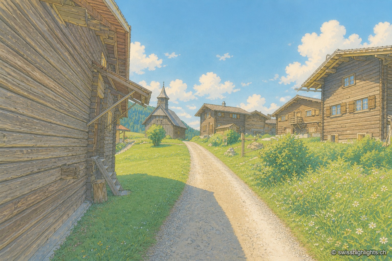
Walser hamlet · Grisons · 19 km as the crow flies
Obermutten
Part of Thusis since 2017, Obermutten sits at 1,864 metres on the slope of the Muttnerhorn. A fire destroyed seventeen houses there in 1946; the hamlet later gained unexpected social-media fame in 2011.
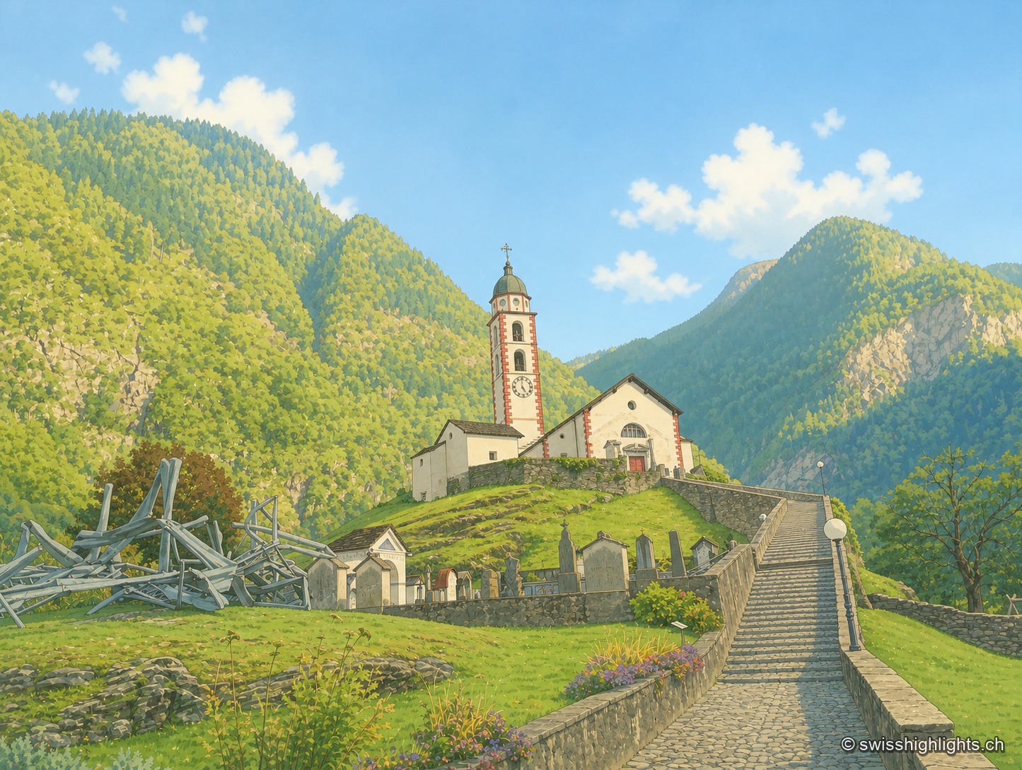
Mesolcina village · Grisons · 24 km as the crow flies
Soazza
324 inhabitants on 46.4 km², more than half of it forest, a church with a striped bell tower on its spur, a frescoed hospice: Soazza holds the hinge between upper and lower Mesolcina.
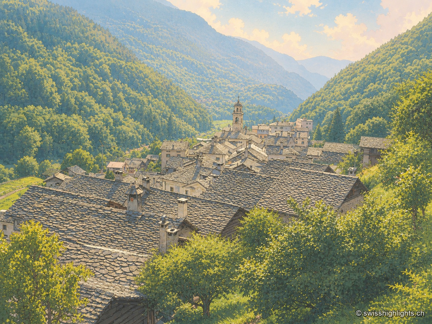
Border village · Val Bregaglia · 29 km as the crow flies
Castasegna
Castasegna, the lowest village of the Graubünden Bregaglia, first recorded in 1374, groups Villa Garbald (1862-1864, Gottfried Semper) and the Roccolo tower (2004, Miller & Maranta), near the former largest chestnut forest in Europe.