Hamlet listed by ISOS · Ticino
Osignano
Osignano, a hamlet of Monteceneri on the Vedeggio slope, keeps a building core that survives almost intact, listed in the ISOS inventory as site 4042.
Osignano is a hamlet in the municipality of Monteceneri, in the district of Lugano (canton of Ticino) — attached, until the communal merger, to Sigirino, on which it also depended for parish affairs. It occupies the upper edge of an alluvial cone, on the right-hand slope of the Vedeggio valley, at the foot of Monte Tamaro, along the old mule track linking Agno to Bellinzona.
The built core comprises two distinct groups: uphill, a long row of large rendered house-fronts dated to the 17th and 18th centuries with 19th-century additions; downhill, more modest buildings in exposed stone, with more archaic rural features. A chapel dedicated to Saint Roch, probably from the 17th century, stands at a distance from the hamlet, in visual relation to it; a late-19th-century wayside shrine, bearing the image of the Madonna Miracolosa di Re, marks the fork of the access paths.
The local economy depended chiefly on agriculture — viticulture, field crops, livestock — still partly practised today; periodic emigration was its usual counterpart. The municipality of Sigirino, to which Osignano belonged, counted 268 residents in 1990 against 238 in 1980. The hamlet, long marked by a degree of abandonment, has since seen a revival as a settlement of second homes, driven by traditional building fabric that remains largely intact. Osignano is listed in the federal inventory of Swiss heritage sites (ISOS) as site 4042, with situational and spatial qualities rated excellent, and historical-architectural qualities rated good.
Why this place is remarkable
Nothing marks Osignano out from afar, beyond the silhouette of a row of rendered fronts set against a chestnut-wood backdrop; but the place's richness reveals itself up close, in the interlace of paved lanes and outdoor stone stairways that organise a space far more complex than its size suggests. The hamlet never had a rank to keep up — which may be exactly why it has changed so little.
History and origin
Osignano occupies the upper edge of an alluvial cone formed at the foot of Monte Tamaro, on the right-hand slope of the Vedeggio valley. The 1894 Siegfried map shows the entire ground between the hamlet and Mastarino-Vianco planted with vines, an agricultural use now partly abandoned.
What to do and see
- Wander the cobbled lanes and outdoor stone stairways that structure the built-up core, more intricate than it appears from a distance.
- Distinguish the hamlet's two clusters: upslope, the rendered 17th-18th century façades; downslope, the more archaic rural buildings of exposed stone.
- Note the chapel of San Rocco, set apart from the hamlet but visually related to it, and the late-19th-century wayside shrine marking the fork in the paths.
- Place the hamlet on the old mule track linking Agno to Bellinzona, at the foot of Monte Tamaro.
As a couple
- Wander through the interlacing lanes and stone stairways, away from the main tourist routes.
- Observe the silhouette of the row of rendered façades standing out against the chestnut trees on the slope.
- Stop at the chapel of San Rocco, slightly set back from the hamlet, for a moment of calm.
Location
Loads an interactive Google Maps view on demand, from the place's verified coordinates.
The embedded map will be enabled once an authorized Google Maps key is configured. Use the link above in the meantime.
The map could not load. Check your connection or use the link above to open the place in Google Maps.
Related places

Lakeside city · Ticino · 9 km as the crow flies
Lugano
The country's third financial centre, Lugano hosted the first Eurovision Song Contest in 1956 and has, since the mergers of 2004, 2008 and 2013, an agglomeration of about 150,000 inhabitants on the shore of Lake Lugano.
Lakeside town · Ticino · 14 km as the crow flies
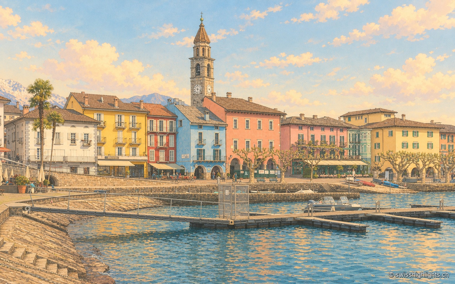
Ascona
A row of painted houses closes the square that opens onto the lake, behind the campanile of Santi Pietro e Paolo. On the hill stand the light-and-air huts of 1901-1902 and the hotel of 1926-1928.

Botanical islands · Ticino · 15 km as the crow flies
Brissago Islands
San Pancrazio, the larger, carries a subtropical garden and is reached by boat. Sant'Apollinare, the smaller, stays closed and keeps the ruins of a Romanesque church. The canton of Ticino and five partners bought them in 1949.