Engadine village · Grisons
Tarasp
A castle built in 1040 on a rock spur, and a dozen hamlets scattered above the Inn, in the Lower Engadine.
Tarasp occupies the right bank of the Inn, in the Lower Engadine, at the foot of the Sesvenna range, at about 1,403 metres. It has never formed a compact village: it is made of a dozen hamlets — Fontana, Vulpera, Nairs, Sparsels, Aschera, Avrona, Chaposch, Chants, Florins, Sgnè, Vallatscha — spread over the terraces and level shelves around the rock spur the castle crowns. The lists do not agree on their number: ten in one count, eleven in the other, depending on whether Nairs is included. To the south the territory rises to the Piz Pisoc, whose height is given as 3,173 and as 3,174 metres. Since 1 January 2015 Tarasp is no longer a commune: it merged with Ardez, Guarda, Ftan and Sent into that of Scuol.
The castle was built in 1040, on a rock commanding the floor of the valley. The lordship passed from the lords of Tarasp to the counts of Tyrol, then to the Habsburgs, who bought it in 1463: Tarasp thereby became an Austrian enclave inside the Free State of the Three Leagues. It remained one until 1803, the last Austrian holding on Swiss soil, before being incorporated into the canton of Grisons. That history left a mark still visible: where the Lower Engadine went over to the Reformation, Tarasp stayed Catholic. Separation from the parish of Scuol was settled in 1559; the church of the Trinity, at Fontana, was raised between 1674 and 1678 by Blasius Ploirer on the foundations of a sanctuary of 1567.
In the nineteenth century the mineral springs did the rest. A first hotel opened at Vulpera in 1845, the Kurhaus rose at Nairs in 1865, and between 1874 and 1876 the architect Bernhard Simon built a pump room on the bank of the Inn whose octagonal dome shelters the Bonifacius, Lucius and Emerita springs. The Grand Hotel Waldhaus, opened at Vulpera on 8 June 1897 and covered in sgraffito, burned down in 1989. The castle changed hands without falling into ruin: bought around 1900 by the industrialist Karl August Lingner, who restored it, it has belonged since March 2016 to the artist Not Vital.
Why this place is remarkable
Tarasp owes its singularity to a political anomaly that became a religious one: bought by the Habsburgs in 1463, the lordship stayed Austrian, and Catholic, in the middle of a valley that had gone over to the Reformation, until it was ceded in 1803. On the ground this gives a Baroque parish church at Fontana, a castle of 1040 perched on its rock, and a commune that never had a central village — only hamlets set one after another across the slope.
History and origin
Cup-marked stones recorded near Sgnè point to an early presence, but no settlement is attested before the eleventh century, when lords from the Lake Como region founded the lordship and built the castle, in 1040. After their line died out the domain became a Tyrolean fief in 1239, then passed to the Habsburgs in 1463. Sold in 1687 to the princes of Dietrichstein, the lordship was ceded to Switzerland in 1803 and attached to Grisons. The spa era opened in the middle of the nineteenth century and closed with the First World War; tourism only resumed from the 1970s.
What to do and see
- Climb to the castle built in 1040 on its rock, overlooking the valley floor.
- Look among the scattered hamlets — Fontana, Vulpera, Nairs, Sparsels and the others — for the Trinity church at Fontana, built from 1674 to 1678 by Blasius Ploirer.
- See the octagonal-domed pump room built from 1874 to 1876 by Bernhard Simon on the bank of the Inn, which houses the Bonifacius, Lucius and Emerita springs.
- Spot the remains of the Grand Hotel Waldhaus, opened at Vulpera in 1897 and covered in sgraffiti.
As a couple
- Climb to the castle from 1040 perched on its rock, above the Inn.
- Stop at the Baroque Trinity church at Fontana, built between 1674 and 1678.
- See the octagonal-domed pump room of 1874-1876, the only visible trace of the thermal springs.
- Move from one hamlet to another, Fontana, Vulpera, Nairs, imagining the religious anomaly that long made Tarasp a Catholic and Austrian enclave.
Location
Loads an interactive Google Maps view on demand, from the place's verified coordinates.
The embedded map will be enabled once an authorized Google Maps key is configured. Use the link above in the meantime.
The map could not load. Check your connection or use the link above to open the place in Google Maps.
Related places
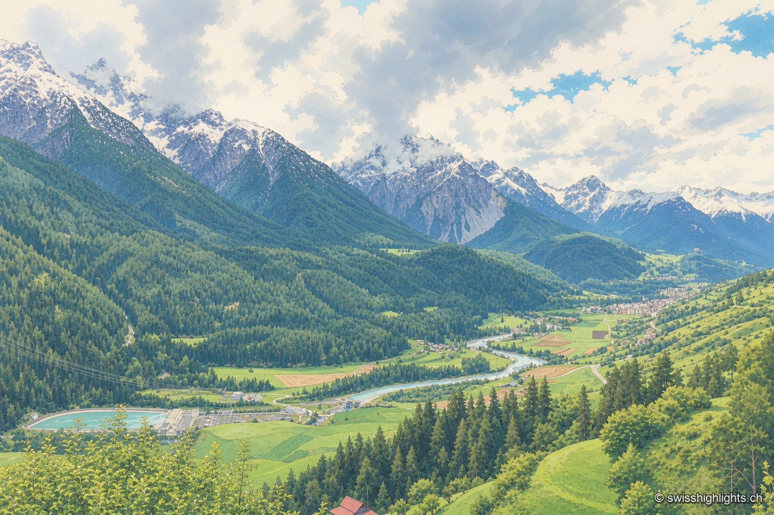
Village · Grisons · 7 km as the crow flies
Sent
Recorded as early as 930, Sent occupies a terrace at about 1,440 metres above the Inn. Its houses carry sgraffito and the curved gable that took the village's name; the slope below them is terraced and lined with hedges.
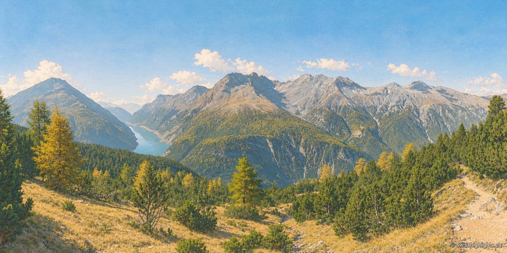
National park · Grisons · 15 km as the crow flies
Swiss National Park
Founded in 1914 between Zernez and the Val Müstair, it rises from 1,400 to 3,173 metres. Red deer, ibex and bearded vultures live here unmanaged; a visit keeps to 80 kilometres of paths that may not be left.
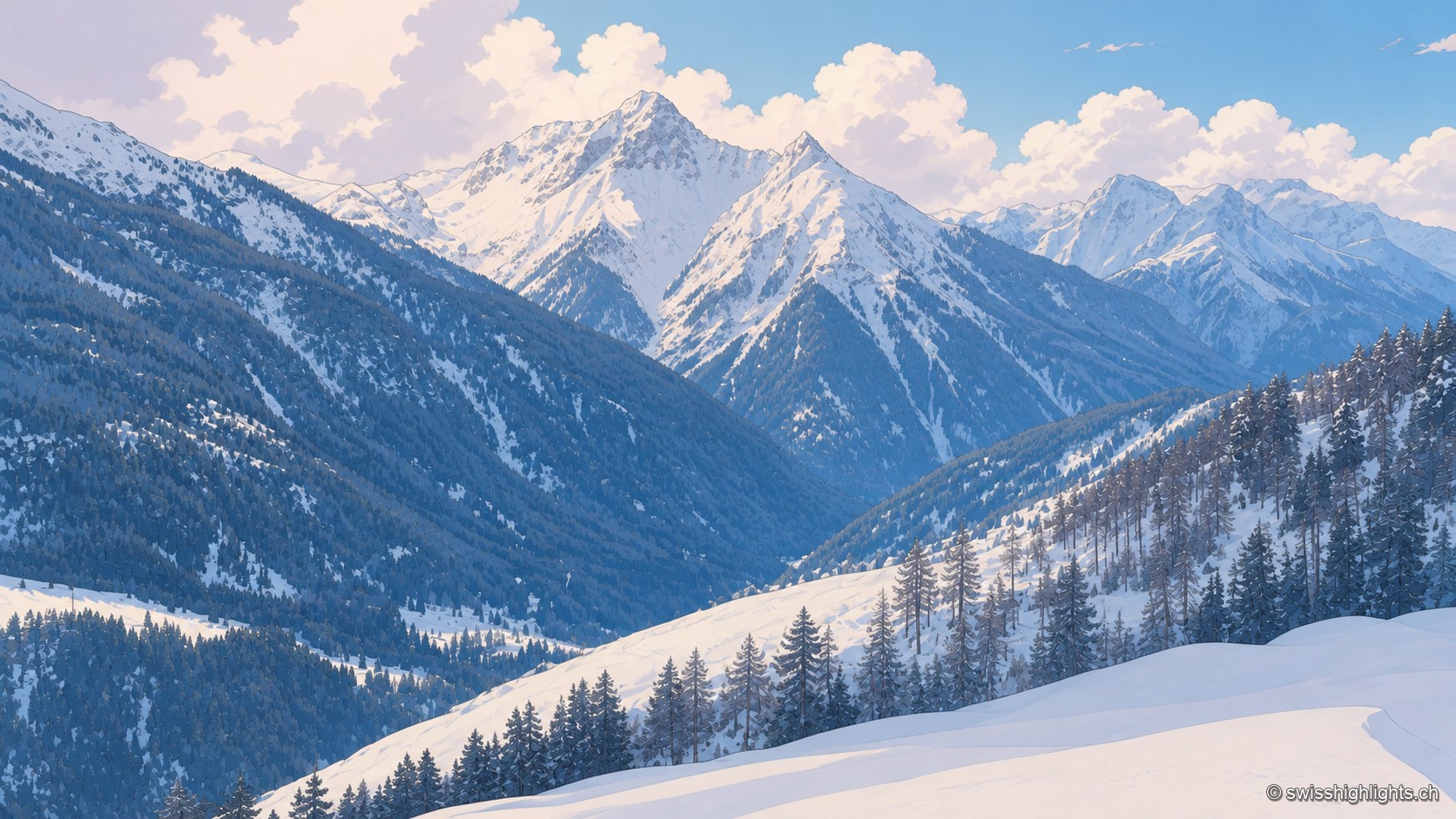
Romansh village · Grisons · 15 km as the crow flies
Tschlin
The village holds a terrace at 1,553 metres, far above the Inn. Vallader Romansh is spoken here, and the three-country marker at 2,180 metres is visible to the naked eye. A former commune, Tschlin joined Valsot in 2013.