Village · Grisons
Sent
A Romansh village on a sunny terrace above the Inn, in the Lower Engadine, known for its curved gables.
Sent holds a sunny terrace on the left bank of the Inn, at about 1,440 metres, in the Lower Engadine. Vallader, a dialect of Romansh, has remained the language of most of its inhabitants. The municipality existed until 2015, when it joined Scuol together with Ardez, Ftan, Guarda and Tarasp. Its former territory rose to Piz Tasna, at 3,179 metres, and took in the hamlets of Sur En, Crusch, Sinestra and Zuort.
The village is first mentioned in 930, when King Henry I gave a priest from Ramosch the church of the vicus Sindes — which of the two, St Peter or St Lawrence, is unclear, and the origin of the name remains unexplained. At the entrance to the village, the ruin of the Baseglia San Peder dates from around 1200; abandoned after the Reformation, it probably owes its still standing tower to its use as a powder store. The church of St Lawrence was enlarged in Gothic style in 1496 by Andreas Bühler. Sent has burned often: an Austrian army set it alight in 1499, and five great village fires followed, from the sixteenth to the twentieth century.
What strikes you first are the façades. Many houses carry sgraffito scratched into the render and, above all, the curved gable: a Baroque form brought from South Tyrol at the end of the eighteenth century, so characteristic of the place that it took its name. The slope below keeps the trace of the fields. It was terraced for arable farming, and the steep strips that now divide the pastures are hedges, home to many bird species.
Why this place is remarkable
Sent did everything last: the last community in the Lower Engadine to turn to the Reformation, in 1576, the last village in the Engadine to adopt the new calendar, in 1811. That lateness left a whole village behind — sgraffito on the render, curved gables that carry its name — and a slope whose old field banks, now hedges between the pastures, make a landscape without equal in Switzerland.
History and origin
Until the end of the nineteenth century Sent was the most populous village in the Engadine. Its economy did not rest on the fields alone: around 1800 it sold large quantities of timber to Hall in Tyrol, and Tyrolean entrepreneurs ran a cotton mill here. Early in the twentieth century a spa building went up in the Val Sinestra, beside carbonate springs charged with arsenic. By the middle of that century a long-standing grain-growing agriculture had shifted almost entirely to livestock and milk.
What to do and see
- Observe the curved gables, a Baroque form brought from South Tyrol at the end of the 18th century that gave its name to the local style.
- Spot the sgraffiti scratched into the plaster of the village facades.
- See the ruin of the Baseglia San Peder, from around 1200, at the entrance to the village, whose tower remained standing after serving as a powder magazine.
- Follow with your eyes the terraced slope used for farming, whose steep strips have become hedges where birds nest.
As a couple
- Wander the lanes of Sent looking for the curved gables and the sgraffiti that distinguish each facade.
- Stop at St Lawrence's Church, enlarged in Gothic style in 1496 by Andreas Bühler.
- Take your time in front of the ruin of the Baseglia San Peder, at the entrance to the village.
- Walk along the terraced slope, where the hedges between the pastures shape a landscape unique to the region.
Location
Loads an interactive Google Maps view on demand, from the place's verified coordinates.
The embedded map will be enabled once an authorized Google Maps key is configured. Use the link above in the meantime.
The map could not load. Check your connection or use the link above to open the place in Google Maps.
Related places
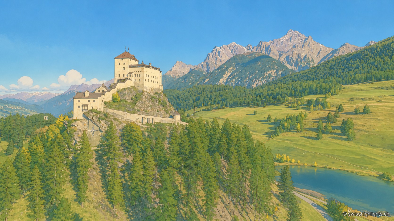
Engadine village · Grisons · 7 km as the crow flies
Tarasp
Tarasp has no centre: its hamlets are spread along the right bank of the Inn, around the rock the castle crowns. Catholic in a Reformed valley, the lordship stayed Austrian until 1803.
Romansh village · Grisons · 8 km as the crow flies
Tschlin
The village holds a terrace at 1,553 metres, far above the Inn. Vallader Romansh is spoken here, and the three-country marker at 2,180 metres is visible to the naked eye. A former commune, Tschlin joined Valsot in 2013.
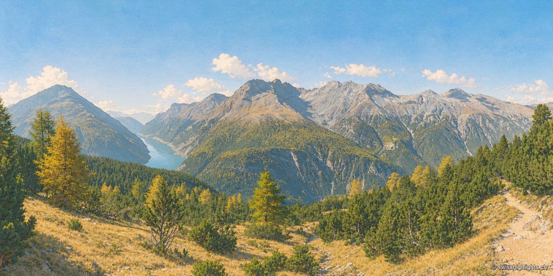
National park · Grisons · 22 km as the crow flies
Swiss National Park
Founded in 1914 between Zernez and the Val Müstair, it rises from 1,400 to 3,173 metres. Red deer, ibex and bearded vultures live here unmanaged; a visit keeps to 80 kilometres of paths that may not be left.