Castle village · Ajoie
Pleujouse
In a wooded side valley of the Ajoie, a farming hamlet pressed below the castle founded around 1100 on its rocky spur, whose round keep survives.
Pleujouse occupies a side valley of the Asuel stream, in the Baroche, in the eastern Ajoie at the foot of the folded Jura. The site is closed in: wooded heights surround it — La Chaud to the north, Les Aidjolats to the east, the Grande Roche to the south, the high point at 825 metres — and it is along that ridge that the watershed between the Rhine and the Rhône runs. The village itself, at 580 metres, amounts to one street of white-rendered farms under brown roofs. It has no church and belongs to the parish of Charmoille; a chapel, raised in 1881, serves instead.
What made the village stands above it. On a shelf of rock, the castle was built around 1100 by the lords of Pleujouse. Of the original parts, the curtain walls remain and a round keep with a raised entrance. At the end of the 14th century the fortress passed to the bishopric of Basel, which then granted it in fief to various noble families. The dwelling range, later in date, burned in 1980; it has since been restored.
The name is older than the walls: it appears as early as 1105 as a designation of origin, Lutfrido de Pluiusa, and comes from the Latin pluviosus, “rainy” — either for the weather here, or for the stream that swells in the rain and along which the village lines up. German long said Nùwenburc, then Blutzhusen. Pleujouse is no longer a commune: on 1 January 2009 it merged with Asuel, Charmoille, Fregiécourt and Miécourt to form La Baroche. It was then among the smallest communes in the canton of Jura, with 91 inhabitants at the end of 2007 on a territory of 1.8 km², two thirds of it forest.
Why this place is remarkable
What strikes here is a matter of scale: a handful of farms in a valley of 1.8 km², and above them a fortress founded around 1100, which gave the place its German name and its reason to exist. The round keep, with its raised entrance, belongs to the original parts. Around it, forest covers more than two thirds of the ground, and the ridge closing the valley to the south divides the basins of the Rhine and the Rhône.
History and origin
Pleujouse followed the fate of the Ajoie, which entered the prince-bishopric of Basel in 1271, and from the 16th to the 18th century came under the mayoralty of Alle. From 1793 to 1815 the village was French — in the département of Mont-Terrible, then in that of Haut-Rhin; the Congress of Vienna returned it to the canton of Bern in 1815, and it passed to the canton of Jura when the latter was created, on 1 January 1979. The population has fallen steadily: 239 inhabitants in 1850, 76 in 1990, before a slight recovery.
What to do and see
- Observe the castle's round keep with its raised entrance, built around 1100 on its rocky spur, among the original parts still visible along with the curtain walls.
- Follow the village's single street, lined with white-rendered farmhouses under brown roofs.
- Visit the chapel of 1881, which serves as the church for this village attached to the parish of Charmoille.
- Note, from the heights closing off the small valley, the watershed line between the Rhine and the Rhône, which runs along the Grande Roche ridge at 825 metres.
As a couple
- Contemplate from the village the contrast between the handful of farmhouses in the small valley and the fortress that has overlooked them since around 1100.
- Walk in the wooded valley, two-thirds covered by forest across only 1.8 km² of territory.
- Stop before the castle's main dwelling, rebuilt after the fire of 1980.
Location
Loads an interactive Google Maps view on demand, from the place's verified coordinates.
The embedded map will be enabled once an authorized Google Maps key is configured. Use the link above in the meantime.
The map could not load. Check your connection or use the link above to open the place in Google Maps.
Related places
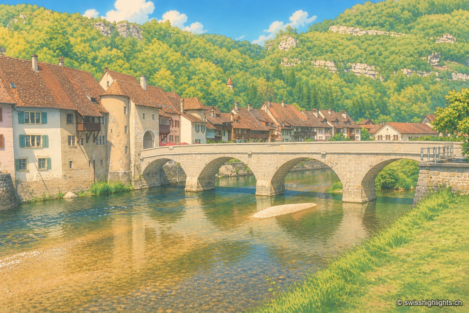
Medieval small town · Jura · 7 km as the crow flies
Saint-Ursanne
Born around a Benedictine abbey, it keeps its Romanesque collegiate church, its cloister and burgher houses from the 14th to the 16th century. At 440 metres, between wooded cliffs and river, it left its isolation only in 1877.
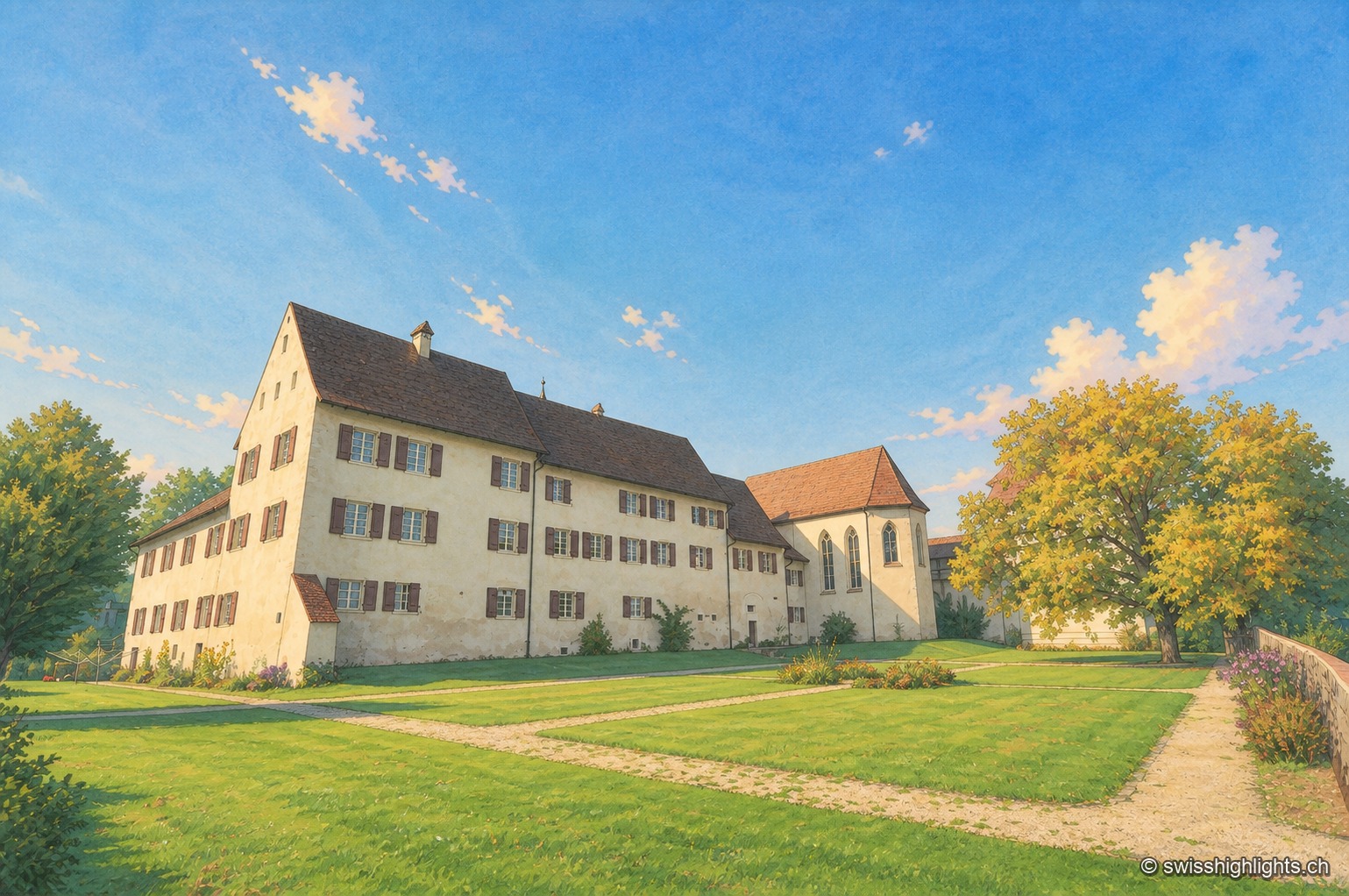
Hamlet and ruin · Jura · 8 km as the crow flies
Löwenburg
The hamlet of Löwenburg, the only German-speaking part of the commune of Pleigne, combines a castle ruin founded in the 10th century with a 16th-century fortified farm; the Christoph Merian Foundation of Basel has restored it since 1956.
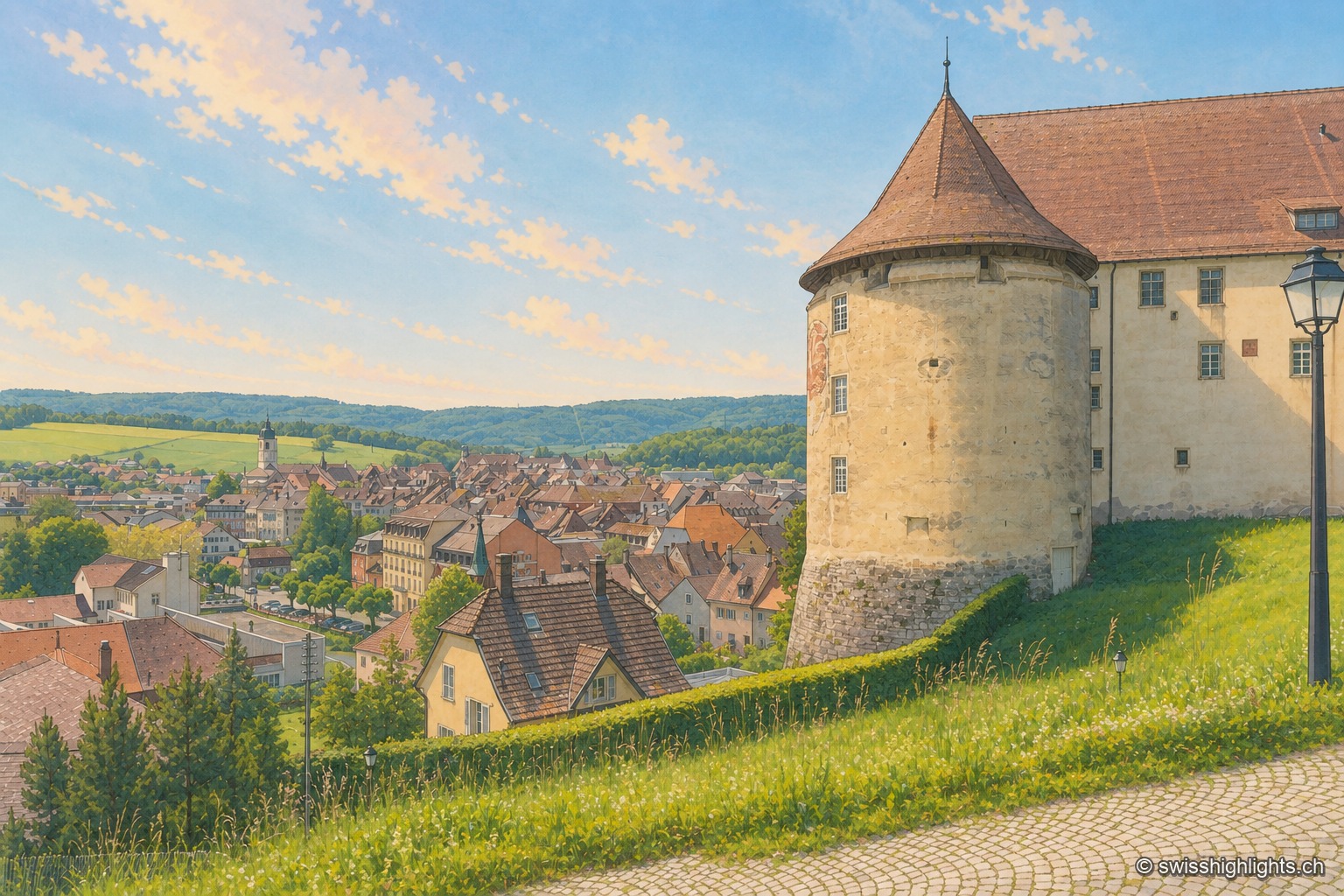
Town · Ajoie, canton of Jura · 10 km as the crow flies
Porrentruy
Driven from Basel by the Reformation, the prince-bishops settled in Porrentruy after 1528; their supposedly provisional residence lasted until 1828. Castle, Jesuit college, hôtel-Dieu and stone fountains still hold its measure.