Winegrowing village of the Vully · Fribourg
Praz
A winegrowing village of national heritage significance on the shore of Lake Morat, at the southern foot of the Mont Vully, in canton Fribourg.
Praz is a locality of the municipality of Mont-Vully, on the shore of Lake Morat, at the southern foot of the Mont Vully, in canton Fribourg, at 434 m elevation. Its old winegrowers' houses, including the patrician houses of Erlach-Velga and Wattenwyl, have earned the site a national heritage listing.
Praz belonged to the lordship of Morat until 1484, then came under the joint bailiwick of Bern and Fribourg; the village was attached to the Reformed parish of Môtier in 1530 and joined the district of Morat from 1798. From the 16th century Praz was closely tied to the neighbouring village of Chaumont — a shared school was built there in 1568 and the two localities pooled their administrations — but Chaumont has been deserted since the 19th century. In 2016 the former municipality of Bas-Vully, of which Praz was part, merged with Haut-Vully to form Mont-Vully.
The Vully grape harvest festival is held in old Praz, at the foot of the Mont Vully and its vineyards, over two days, usually on the last weekend of September. Grape-harvest celebrations existed before this format was created, less organised, around the Auberge de l'Écu; after a break of some twenty years, the Société de développement du Vully revived the festival in 1981. Its 36th edition, in 2016, drew 3,000 visitors — attendance that was declining at the time compared with previous years.
Why this place is remarkable
The Hôtel Restaurant Cave Bel-Air opened as a restaurant in 1900, added its hotel wing in 1918 and has cellared its own wines since 1945 — run by the same family since its beginnings. That continuous thread, from the lordship of Morat in the 15th century to the harvest festival revived in 1981, can still be read in the village's patrician winegrowers' houses, listed as being of national heritage significance.
What to do and see
- Observe the village's old wine-growers' buildings, including the patrician houses of Erlach-Velga and Wattenwyl, classified of national significance.
- Walk along the shore of Lake Morat, at the southern foot of Mont Vully and its vineyards.
- Look for traces of the neighbouring deserted village of Chaumont, with which Praz shared a school from 1568.
As a couple
- Stroll through old Praz, where the Vully grape-harvest festival is held, typically on the last weekend of September.
- Admire the village's patrician wine-growers' houses, classified of national significance.
- Walk along Lake Morat at the foot of Mont Vully, between vineyards and shore.
Location
Loads an interactive Google Maps view on demand, from the place's verified coordinates.
The embedded map will be enabled once an authorized Google Maps key is configured. Use the link above in the meantime.
The map could not load. Check your connection or use the link above to open the place in Google Maps.
Related places
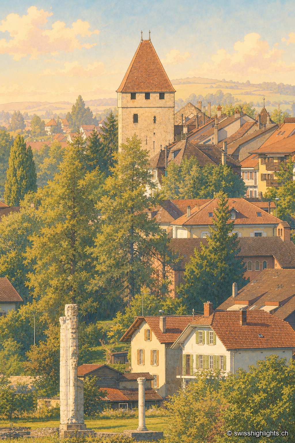
Roman capital · Vaud · 9 km as the crow flies
Avenches
Aventicum had more than 20,000 inhabitants under the High Empire before the Alamanni devastated it in 258. The town hall, rebuilt in 1753, stands over the square; the IENA, opened in 1999, made it Switzerland's horse town.
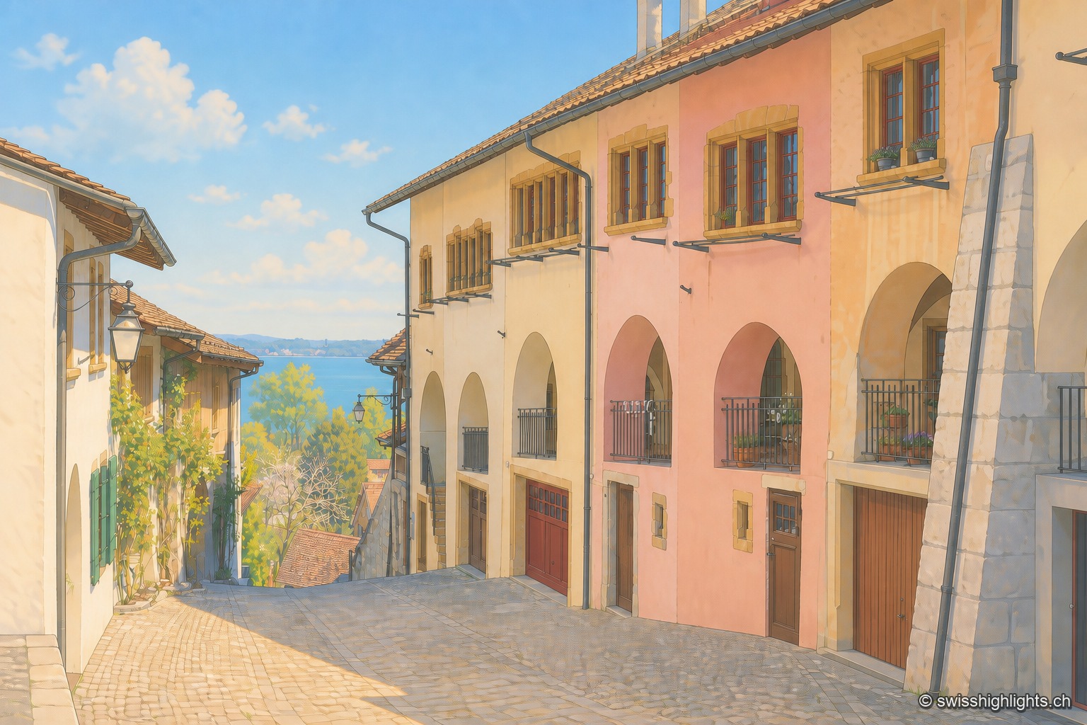
Medieval town · Lake Biel · 10 km as the crow flies
Erlach
The castle that has overlooked Erlach since the year 1100 gave its name to the patrician von Erlach family; the town, a member of Switzerland's Most Beautiful Villages since 2017, looks out from Jolimont hill toward St Peter's Island.
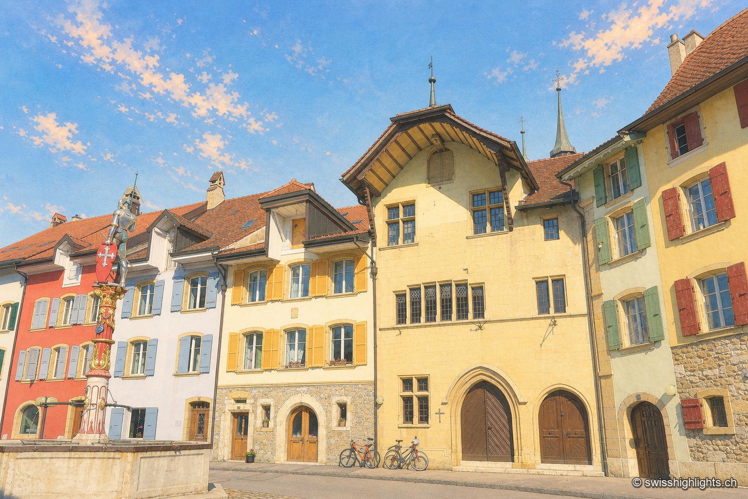
Fortified town · Neuchâtel · 12 km as the crow flies
Le Landeron
Catholic while the whole county of Neuchâtel turned Protestant between 1530 and 1562, Le Landeron owed its confessional enclave and its fortified town to the backing of its allies from Solothurn, bound by treaty since 1449.