Pays-d'Enhaut village · Vaud
Rougemont
A Cluniac village in Vaud's Pays-d'Enhaut, named after the red Liassic rock layers outcropping on the Rodomont, the hill above it.
Rougemont lies in the Pays-d'Enhaut, in the Vaud district of Riviera-Pays-d'Enhaut, on the Montreux-Oberland Bernois railway line. Its territory covers 48.53 square kilometres, of which 47.6% is farmland, 34.1% forest and only 2.9% buildings and infrastructure. The name comes from the hill above the village, the Rodomont, where red Liassic rock layers outcrop: this gave 'Rubeus mons' in 1104, then 'Rougemont' in French, the toponym having in a sense come down from the height to the village.
The settlement's origin lies in the founding of a Cluniac priory around 1073-1085 by the first count Wilerius (Wilair) and his sons Guillaume, Reymond and Ulric. The Romanesque church of Rougemont, built by Cluniac monks in the 11th century and altered in the 16th, is listed as a Swiss cultural property of national significance. In 1975, the burning of the chalet of the German press magnate Axel Springer went long unsolved; the writer Daniel de Roulet confessed to being its author thirty years later, in his book Un dimanche à la montagne.
Rougemont numbered 813 inhabitants on 31 December 2024, a density of 17 per square kilometre; over 2010-2023 its population fell by 11.8%, while the canton of Vaud grew by 18.6% and Switzerland by 9.4%. The village's houses carry at the top of their façades the construction date, often a biblical text, and the names of the owner and the carpenter carved into the wood; two symmetrical staircases each lead to a separate dwelling, several generations of the same family having often shared one roof. Since 2017 Rougemont has belonged to the Most Beautiful Villages of Switzerland association.
Why this place is remarkable
Rougemont takes its name from the Rodomont hill above it, whose red Liassic rock layers gave 'Rubeus mons' as early as 1104 before the toponym came down to the village. Founded around a Cluniac priory around 1073-1085, the village keeps an 11th-century Romanesque church listed as a Swiss cultural property of national significance, and Pays-d'Enhaut houses carved with the construction date and the names of owner and carpenter — a fabric recognised since 2017 by the Most Beautiful Villages of Switzerland association.
History and origin
The name Rougemont comes from the Rodomont, the hill above the village, where red Liassic rock layers outcrop and gave 'Rubeus mons' in 1104. The village formed around a Cluniac priory founded around 1073-1085 by the first count Wilerius (Wilair) and his sons Guillaume, Reymond and Ulric; its Romanesque church, built by Cluniac monks in the 11th century and altered in the 16th, is listed as a Swiss cultural property of national significance.
What to do and see
- Spot on the village facades the construction date, a biblical text and the names of the owner and carpenter carved into the wood.
- Observe the two symmetrical staircases of some houses, each leading to a separate dwelling for several generations of the same family.
- Visit the 11th-century Romanesque church, built by the monks of Cluny and altered in the 16th century.
- Look up at the Rodomont, the hill whose red Lias strata gave the village its name from 1104.
Coming with family: what to know
- The visit is limited to a stroll through the village among the old houses and the church, with no further detail in the available data.
As a couple
- Look for the names of the original owners and carpenters carved into the wood of the facades.
- Take time in front of the Romanesque church founded by the Cluniac priory around 1073-1085.
- Combine the walk through the village, a member of the Most Beautiful Villages of Switzerland since 2017, with a view of the Rodomont.
Location
Loads an interactive Google Maps view on demand, from the place's verified coordinates.
The embedded map will be enabled once an authorized Google Maps key is configured. Use the link above in the meantime.
The map could not load. Check your connection or use the link above to open the place in Google Maps.
Related places
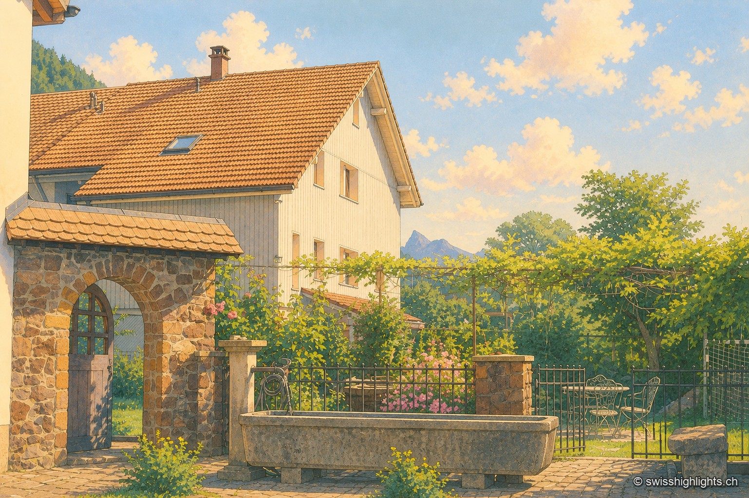
Listed village · Gruyère · 10 km as the crow flies
Grandvillard
Freed from mainmorte in 1388, the commune obtained its charter of liberties in 1439. The present church was consecrated in 1603, the bridge over the Sarine built in 1641. Since 2019, among the Most Beautiful Villages of Switzerland.
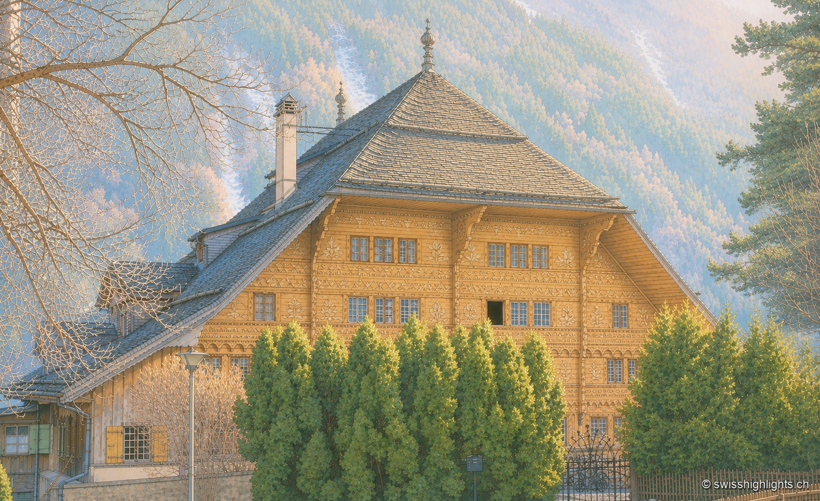
Village in the Pays-d'Enhaut · Vaud · 10 km as the crow flies
Rossinière
The Grand Chalet, 113 windows built for David Henchoz between 1752 and 1756, housed the painter Balthus until his death in 2001. Rossinière has 499 residents at the end of 2024; its population grew 4.1% since 2010, against 18.6% in Vaud.
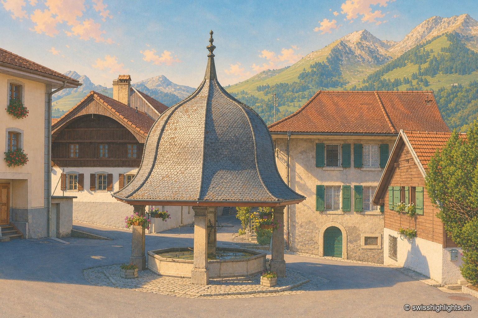
Gruyère village · Fribourg · 11 km as the crow flies
Lessoc
Recorded from 1115, Lessoc broke away from the parish of Grandvillard only in 1643. Its church and its octagonal fountain of 1796 are built of the grey-white limestone veined with green quarried on the spot, the Lessoc 'marble'.