Capital below the Mythen · Schwyz
Schwyz
Capital of the canton it gave its name to, Schwyz has kept the founding pact of the Confederation since 1291, at the foot of the twin Mythen peaks.
Schwyz is the capital of the canton it gave its name to, in the district of Schwyz. The municipality, which groups the town of Schwyz with the localities of Rickenbach, Ibach and Seewen over 53.25 km², lies at 516 metres above sea level at the foot of the twin Mythen — the Grand Mythen (1899 m) and the Petit Mythen (1811 m) — between Lake Lauerz and Lake Lucerne. At the end of 2024 it had 16,446 inhabitants, for a density of 309 per km².
The earliest document mentioning the place dates from 972; a Merovingian-era church already stood there in the 8th century, and even older Alemannic graves have been uncovered. The name Schwyz is thought to derive from the Old High German suedan, 'to burn', recalling the clearing of forests by fire practised by the earliest inhabitants. Lacking town rights, the capital was called Flecken Schwytz, 'the borough of Schwyz'. In 1800, the Battle of Schwyz saw French troops defeat Austro-Russian forces.
Schwyz holds the Confederation's earliest archives, including the federal pact of 1291, displayed at the Forum of Swiss History. The main square, counted among the finest baroque squares in Switzerland, is lined by the church of St Martin, the town hall and the Reding house; the Kerchel ossuary, the Büeler chapel, the priory im Loo, the Capuchin convent and the Dominican convent complete the ensemble.
The knife maker Victorinox is based in Ibach, one of the municipality's localities. Schwyz lies on the Lucerne-Gotthard-Bellinzona railway line, 36 kilometres from Lucerne and 134 kilometres from Bellinzona, and at exit 39 of the A4 motorway from Schaffhausen to Brunnen.
Why this place is remarkable
Few cantonal capitals carry their name so literally: the canton of Schwyz takes its name from this town, which itself never obtained town rights. It keeps, in its archives, the founding document of the 1291 pact, and in its landscape, the twin summits of the Mythen that mark it out across the whole valley.
History and origin
The name Schwyz is thought to have appeared in 972, denoting, in the form suittes, the populations of the region; it would derive from the Old High German suedan, 'to burn', in memory of forest clearance by fire. The town sits at the foot of the twin Mythen, peaks that reach 1899 and 1811 metres, between Lake Lauerz and Lake Lucerne.
What to do and see
- See at the Forum of Swiss History the earliest archives of the Confederation, including the Federal Charter of 1291.
- Wander the main square, counted among the finest baroque squares in Switzerland, bordered by the Saint-Martin church, the town hall and the Reding house.
- Spot from the town the twin peaks of Grand Mythen (1899 m) and Petit Mythen (1811 m).
- Visit the Kerchel ossuary, the Büeler chapel and the Capuchin and Dominican convents that complete the ensemble.
Coming with family: what to know
- The town is visited on foot between the main square, the Forum of Swiss History and the surrounding convents.
As a couple
- Take time on the baroque square, between the Saint-Martin church and the Reding house.
- Observe the two Mythen peaks that mark the town from the whole valley, between Lake Lauerz and Lake Lucerne.
- Recall that Schwyz, which gave its name to the canton, has nevertheless never been granted town rights.
Location
Loads an interactive Google Maps view on demand, from the place's verified coordinates.
The embedded map will be enabled once an authorized Google Maps key is configured. Use the link above in the meantime.
The map could not load. Check your connection or use the link above to open the place in Google Maps.
Related places
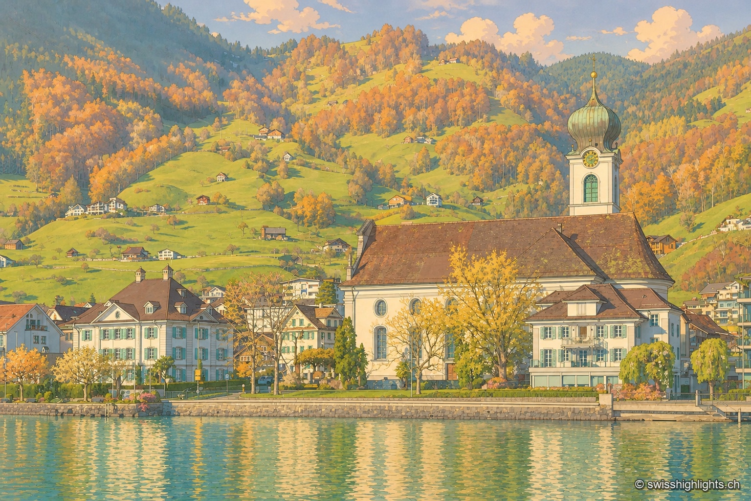
Former republic · Schwyz · 11 km as the crow flies
Gersau
Gersau was a sovereign republic from 1390 to 1817, recognised by Emperor Sigismund in 1433; sheltered by the Rigi on Lake Lucerne, it keeps its mild climate and its church of St Marzellus, attested from 1179.
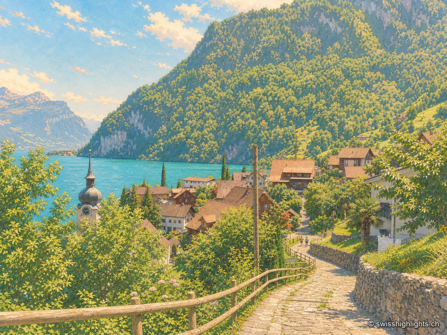
Lakeshore, Nobel's factory, anthem · 11 km as the crow flies
Bauen
On the west shore of Lake Uri, at the foot of the Bauenstöcke, the mild climate (figs, palm trees) contrasts with the industrial history of neighbouring Isleten, where Nobel produced dynamite and later blasting gelatin until 2003.
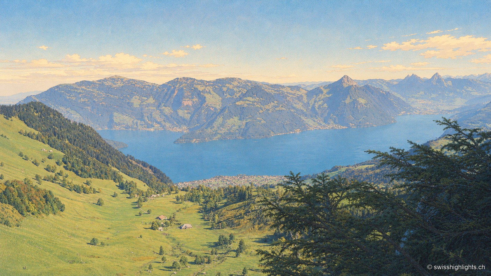
Mountain · Schwyz and Lucerne · 14 km as the crow flies
Rigi
Rigi Kulm stands at 1,797 metres above Lake Lucerne, Lake Zug and Lake Lauerz. The name comes from the bands of rock and grass that ring the summit; the rack railway has climbed it since 1871, the first in Europe.