Romansh village · Grisons
Tschlin
At 1,553 metres on the south flank of the Samnaun massif, a Lower Engadine village facing the Austrian and Italian borders.
Tschlin occupies a terrace on the south flank of the Samnaun massif, at 1,553 metres, while its outlying hamlets stay below, on the alluvial fans and river terraces of the Inn valley: San Niclà, Strada, Chaflur, Sclamischot, Martina, Vinadi. Oral tradition names the two levels, the vih for the village above, the plan for what lies in the valley. On 1 January 2013 the former commune merged with Ramosch to form Valsot.
It climbed so high for the light. The Inn valley here runs south-west to north-east, and the usual division between sunny and shaded slope breaks down: Tschlin faces south-east, takes the morning sun, then keeps an open western horizon where the day ends over the Piz Lad. The benches of the old houses and the picture windows of the new ones are set accordingly. Opposite, the steep slope stays wooded up to the rock band and carries no village at all; at this height the houses stand above the fog that lingers on the valley floor.
The territory touches Austria to the east and Italy to the south, and from the village windows the three-country marker at 2,180 metres can be made out without binoculars. To the north the Samnaun massif was crossed by mule tracks and by a smugglers' route over the Fuorcla Salèt, at 2,826 metres; higher still, the Ruina cotschna iron and copper mine worked at 2,500 metres until it closed in 1919 for want of profitability. Until the middle of the 20th century most income came from timber; 19 farms remain, and the former commune counted 453 inhabitants in 2010 across 75 square kilometres.
The language of the village is Vallader Romansh, shared with the lower Inn valley, with a few points of grammar particular to Tschlin. Settlement is far older: two sites of the Rhaetian culture, Plan Degnaidas east of the village and Mot da Chaschlins to the south-west, are attested for the Iron Age between the 5th and 3rd centuries BC, before the region passed to the Roman province of Raetia. Since 2018 Tschlin has belonged to the association Les Plus Beaux Villages de Suisse.
Why this place is remarkable
Tschlin is a village built against the shade. In a valley running south-west to north-east, where the division between sunny and shaded slope no longer holds, it had to climb to 1,553 metres to hold the longest hours of sun — high enough for the houses to rise above the fog that lingers below. To that is added a rare position: the marker where Switzerland, Austria and Italy meet, at 2,180 metres, is visible from the village terraces.
History and origin
Two sites of the Rhaetian culture frame the village, Plan Degnaidas and Mot da Chaschlins, occupied in the Iron Age between the 5th and 3rd centuries BC; the region then passed to the Roman province of Raetia. Its recent history is a series of withdrawals: the Ruina cotschna iron and copper mine, at 2,500 metres, closed in 1919; timber, the main resource until the middle of the 20th century, gave way to services; and the commune itself ended on 1 January 2013, merged with Ramosch into Valsot.
What to do and see
- Spot from the village terraces the tripoint marker of the three countries, Switzerland, Austria and Italy, at 2,180 metres, visible without binoculars.
- Observe the village's distinctive orientation, facing southeast for the morning sun and west towards the Piz Lad for the evening.
- Look for the Rhaetian culture sites of Plan Degnaidas and Mot da Chaschlins, occupied during the Iron Age.
- Distinguish the village's two levels, the vih up high and the plan in the valley, with its outlying settlements San Niclà, Strada, Martina, Vinadi.
As a couple
- Enjoy from the village terraces the prolonged light, due to the valley's unusual orientation.
- From the village, search together for the tripoint marker where Switzerland, Austria and Italy meet.
- Walk between the village's vih and the plan in the valley, passing through the former outlying settlements.
- Along the way, tell each other about the old Ruina Cotschna iron and copper mine, closed in 1919 at an altitude of 2,500 meters.
Location
Loads an interactive Google Maps view on demand, from the place's verified coordinates.
The embedded map will be enabled once an authorized Google Maps key is configured. Use the link above in the meantime.
The map could not load. Check your connection or use the link above to open the place in Google Maps.
Related places
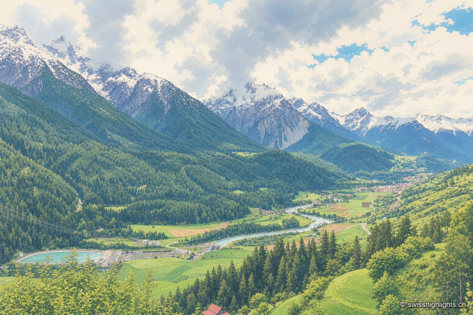
Village · Grisons · 8 km as the crow flies
Sent
Recorded as early as 930, Sent occupies a terrace at about 1,440 metres above the Inn. Its houses carry sgraffito and the curved gable that took the village's name; the slope below them is terraced and lined with hedges.
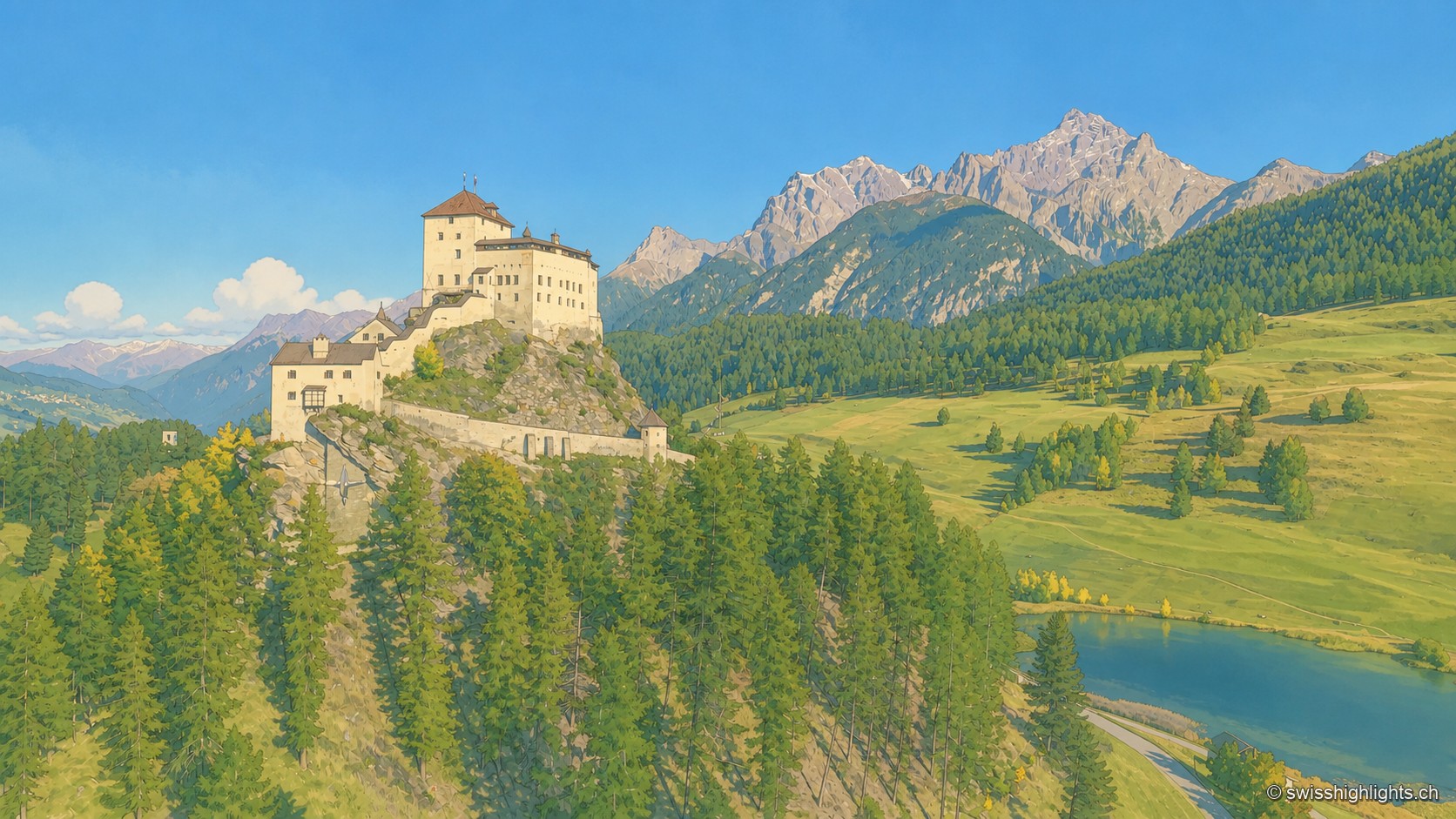
Engadine village · Grisons · 15 km as the crow flies
Tarasp
Tarasp has no centre: its hamlets are spread along the right bank of the Inn, around the rock the castle crowns. Catholic in a Reformed valley, the lordship stayed Austrian until 1803.
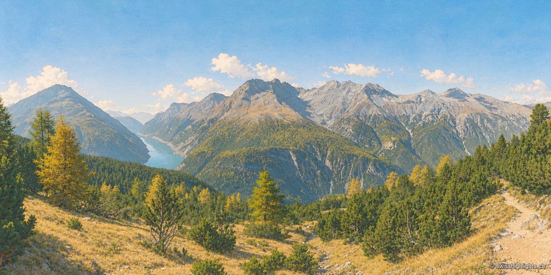
National park · Grisons · 31 km as the crow flies
Swiss National Park
Founded in 1914 between Zernez and the Val Müstair, it rises from 1,400 to 3,173 metres. Red deer, ibex and bearded vultures live here unmanaged; a visit keeps to 80 kilometres of paths that may not be left.