Mesolcina village · Grisons
Soazza
An Italian-speaking Grisons village at 620 metres on a terrace above the Moesa, its core listed as a heritage site of national significance.
Soazza occupies a terrace on the right bank of the Moesa, at 620 metres, in the Italian-speaking valley of the Mesolcina — 29 kilometres from Bellinzona, 88 from Chur. The clustered village settled on the remains of a glacial barrier breached by the river, exactly at the hinge between the upper and lower valley. To the west a ridge separates the Mesolcina from the Calanca valley; to the east the commune stretches to the Italian border, across an almost empty expanse where only the hamlet of Druna is inhabited. The Buffalora waterfall drops two kilometres south of the village.
The commune covers 46.4 km², and its use is quickly told: 53.7% forest, 37.7% unproductive ground, mostly mountain, 7.2% farmland, including 286 hectares of alpine pasture, and 1.5% buildings and roads. The high point, the Piz Pombi, reaches 2,967 metres and marks the boundary with Mesocco and Italy. On 31 December 2020 the commune counted 324 inhabitants; the official language of the valley is Italian, the spoken language a Lombard dialect.
The name appears in 1203, in the form Soaza. The community is already autonomous in 1359, but long remains attached to the collegiate church of San Vittore, to which it still pays tithes in 1626. In 1480 Soazza joins the Grey League voluntarily, together with Mesocco. The parish church of St Martin, attested from 1219, was enlarged between 1626 and 1639; it stands on a spur, reached by a staircase from the chapel of the Madonna Addolorata, built in 1751. Above the village, a hospice from the first half of the 16th century served the Capuchins as their seat from 1636 to 1922; it keeps frescoes by Francesco Antonio Giorgioli.
Resources were thin. Ploughing and pasture kept the village alive for centuries, but people had to leave: they emigrated as chimney sweeps, glaziers and house painters, and other trades were developed, among them the working of soapstone. A mule track linked Soazza to Menarola and Chiavenna over the Val della Forcola; until the beginning of the 19th century salt, silk and cloth were carried along it. The village core is today recognised as a Swiss heritage site of national significance, together with the Casa Paret, the church of St Martin and the hospice.
Why this place is remarkable
A commune of 46.4 km² for 324 inhabitants, more than half of it forest and more than a third bare rock: Soazza is a village pressed tight at the edge of a great emptiness. It stands on what remains of a glacial barrier breached by the Moesa, at the hinge of the two Mesolcina, and its core — the Casa Paret, the church of St Martin on its spur, the Capuchin hospice with its Giorgioli frescoes — is listed as a heritage site of national significance. On 21 June 2024 a flood carried away about a hundred metres of the A13 motorway above the Moesa, within the commune's territory.
History and origin
The village is built on what survives of a glacial barrier breached by the Moesa, precisely where the valley changes level. The archives count the stages: first mention in 1203, communal autonomy in 1359, entry into the Grey League in 1480, purchase of the Ingamba alp, on Lostallo's territory, in 1710 for 1,000 thalers. The buildings keep the trace of the families that prospered: the Palazzo a Marca, a stone cube raised in 1642, the 16th-century Casa Paret, the Villa Mazzoni of 1916, in dressed stone and on a Romanesque model. The territory also preserves cup-marked stones, among them the one at Soliva, called astronomical.
What to do and see
- Spot the village core, listed as a heritage site of national importance: the Casa Paret, St Martin's Church on its spur, and the Capuchin hospice.
- Climb to St Martin's Church, attested since 1219, by the staircase that starts at the chapel of the Madonna Addolorata, built in 1751.
- Look for the frescoes by Francesco Antonio Giorgioli in the former hospice, home to the Capuchins from 1636 to 1922.
- Walk to the Buffalora waterfall, two kilometres south of the village.
As a couple
- Look for traces of the families enriched by emigration: the Palazzo a Marca of 1642, the 16th-century Casa Paret, the Villa Mazzoni of 1916.
- Climb to St Martin's Church by the staircase from the chapel of the Madonna Addolorata.
- Stop at the Buffalora waterfall, two kilometres from the village.
- Follow the route of the old mule track to Menarola and Chiavenna via the Val della Forcola.
The village is built on a glacial rock bar at the junction of two valleys, with elevation changes and a staircase leading to St Martin's Church — terrain that calls for attention.
Location
Loads an interactive Google Maps view on demand, from the place's verified coordinates.
The embedded map will be enabled once an authorized Google Maps key is configured. Use the link above in the meantime.
The map could not load. Check your connection or use the link above to open the place in Google Maps.
Related places
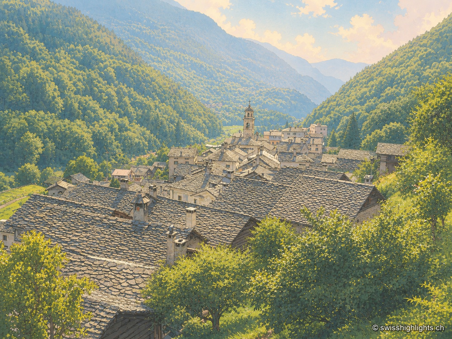
Border village · Val Bregaglia · 23 km as the crow flies
Castasegna
Castasegna, the lowest village of the Graubünden Bregaglia, first recorded in 1374, groups Villa Garbald (1862-1864, Gottfried Semper) and the Roccolo tower (2004, Miller & Maranta), near the former largest chestnut forest in Europe.
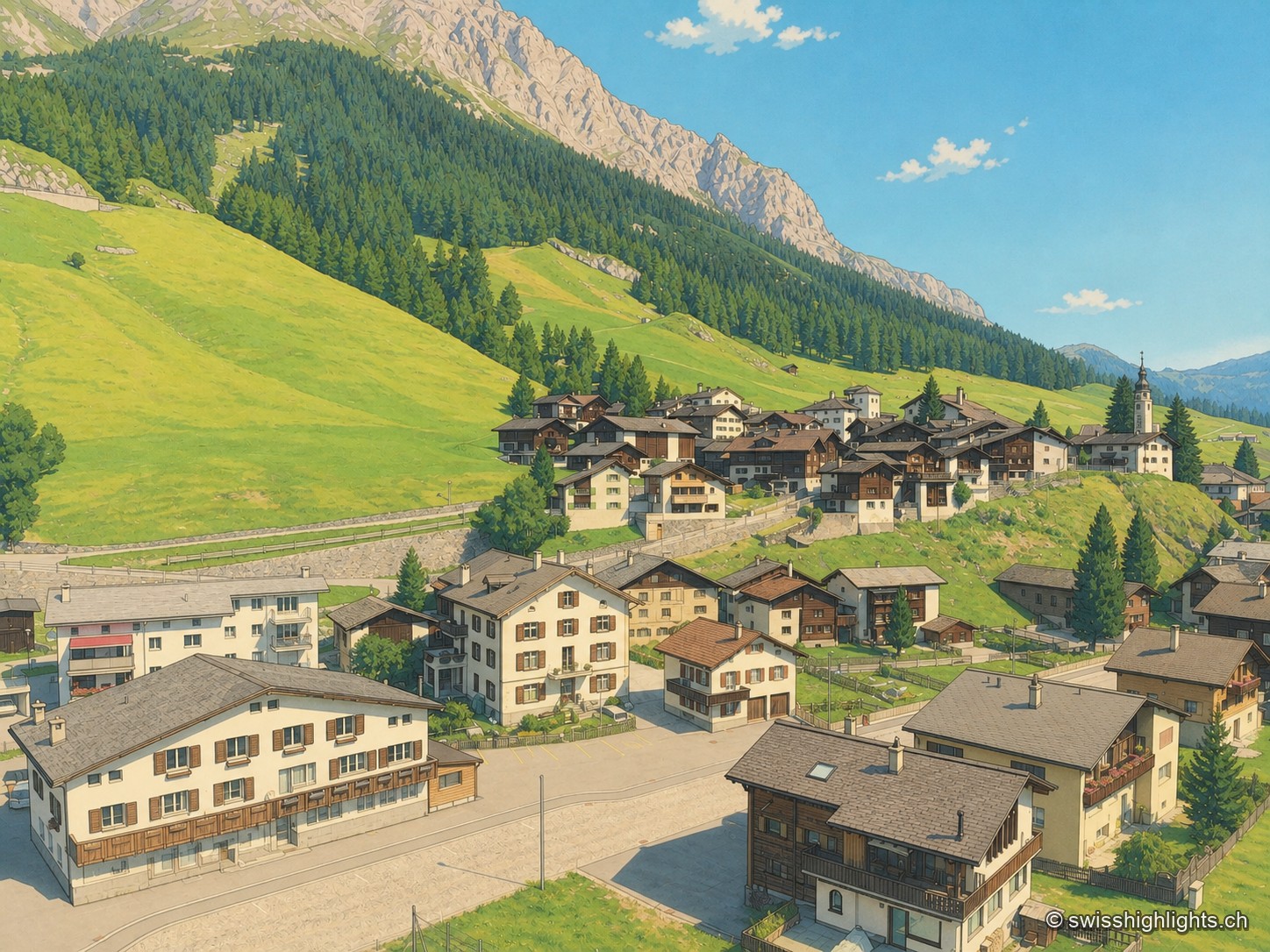
Grisons · Rheinwald · 24 km as the crow flies
Splügen
Splügen holds the floor of the Rheinwald, where the roads to the Splügen and San Bernardino passes part. Its tight-packed houses date from the rebuilding after the fire of 1716.
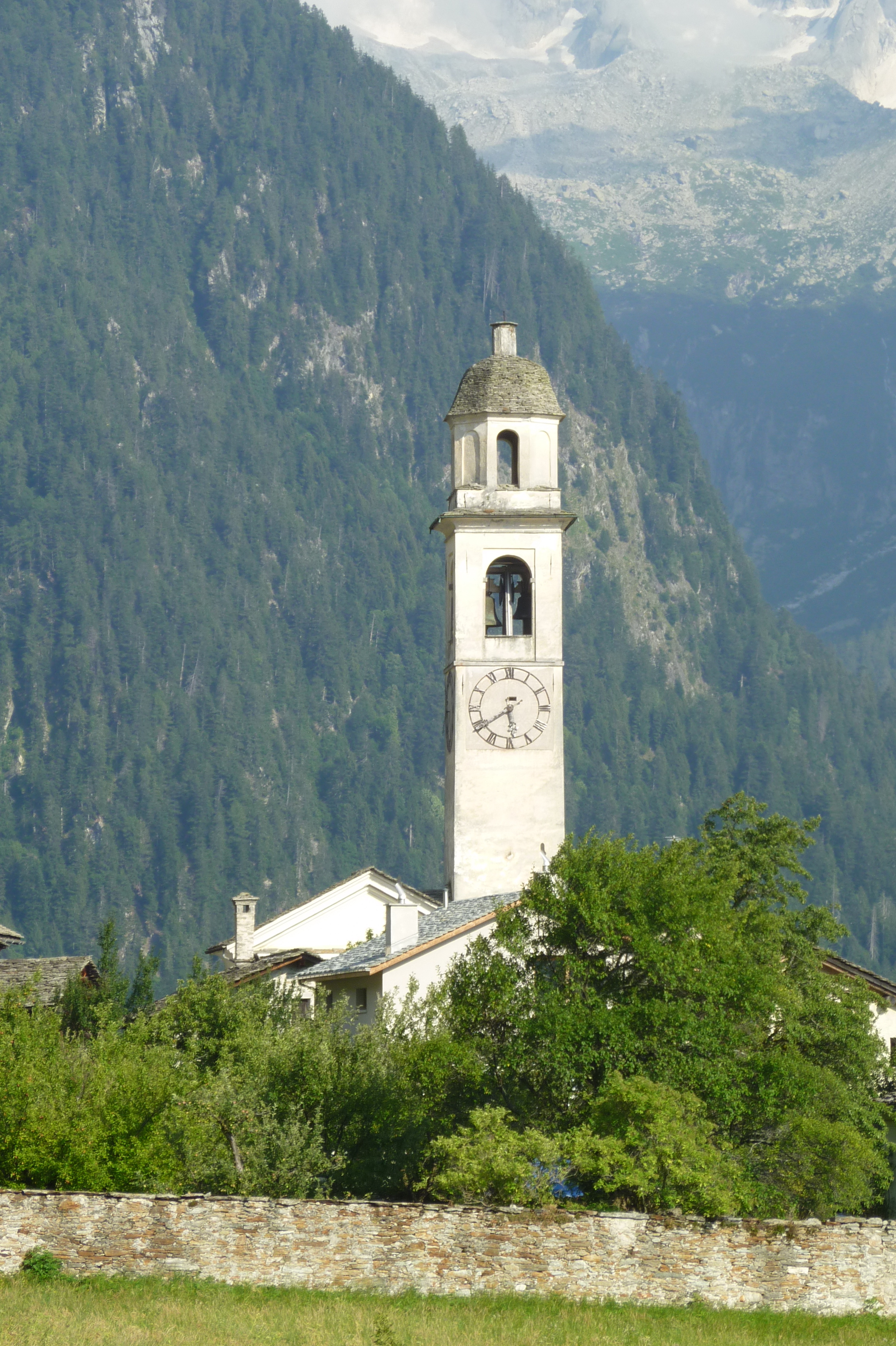
Graubünden · Val Bregaglia · 24 km as the crow flies
Soglio
Set at 1,090 metres on the northern flank of Val Bregaglia, Soglio looks out to the Bondasca glacier. Five palaces of the Salis family stand among the village's stone houses.