Graubünden · Val Bregaglia
Soglio
At 1,090 metres on a terrace in Val Bregaglia, a village of stone where the Salis built five palaces.
Soglio occupies a terrace at 1,090 metres on the northern flank of Val Bregaglia, away from the valley's old trade road. The view carries to the Bondasca glacier and the walls of Piz Sciora, Pizzo Cengalo and Pizzo Badile.
The village is the ancestral seat of the Salis family. Five of their palaces and gardens are listed in the Swiss inventory of cultural property: Cas'Alta of 1524, Casa Battista of 1630, Casa di Mezzo of 1696, Casa Antonio of 1763-1766.
The Reformed church, recorded from 1354, holds the edge of the terrace. Italian is spoken here, alongside an Alpine Lombard dialect, bargaiot, the only one in the valley to keep geminate consonants.
Why this place is remarkable
The Salis fortune set Baroque palaces in the middle of mountain dwellings. From that proximity Soglio draws the bearing of a small town, which its size does not lead you to expect.
History and origin
The first record of the place dates from 1186, in the form Solio. The village adopted the Reformation in 1552. A former municipality of 67.57 km², it merged on 1 January 2010 with Bondo, Castasegna, Stampa and Vicosoprano to form Bregaglia. The highest point of its former territory is Piz Duan, at 3,131 metres.
What to do and see
- Spot the five Salis palaces listed in the Swiss inventory of cultural property, from the Cas'Alta of 1524 to the Casa Antonio of 1763-1766.
- Enjoy from the village terrace the view of the Bondasca glacier and the walls of Piz Sciora, Pizzo Cengalo and Pizzo Badile.
- Stop at the Reformed church, first mentioned in 1354, at the edge of the terrace.
As a couple
- Wander the lanes between the Salis's Baroque palaces, set in a mountain settlement.
- Enjoy the view of the Bondasca glacier and the walls of Piz Sciora, Pizzo Cengalo and Pizzo Badile.
- Stop at the Reformed church at the edge of the terrace, first mentioned in 1354.
- Take time in a village whose small-town look contrasts with its actual size.
Location
Loads an interactive Google Maps view on demand, from the place's verified coordinates.
The embedded map will be enabled once an authorized Google Maps key is configured. Use the link above in the meantime.
The map could not load. Check your connection or use the link above to open the place in Google Maps.
Related places
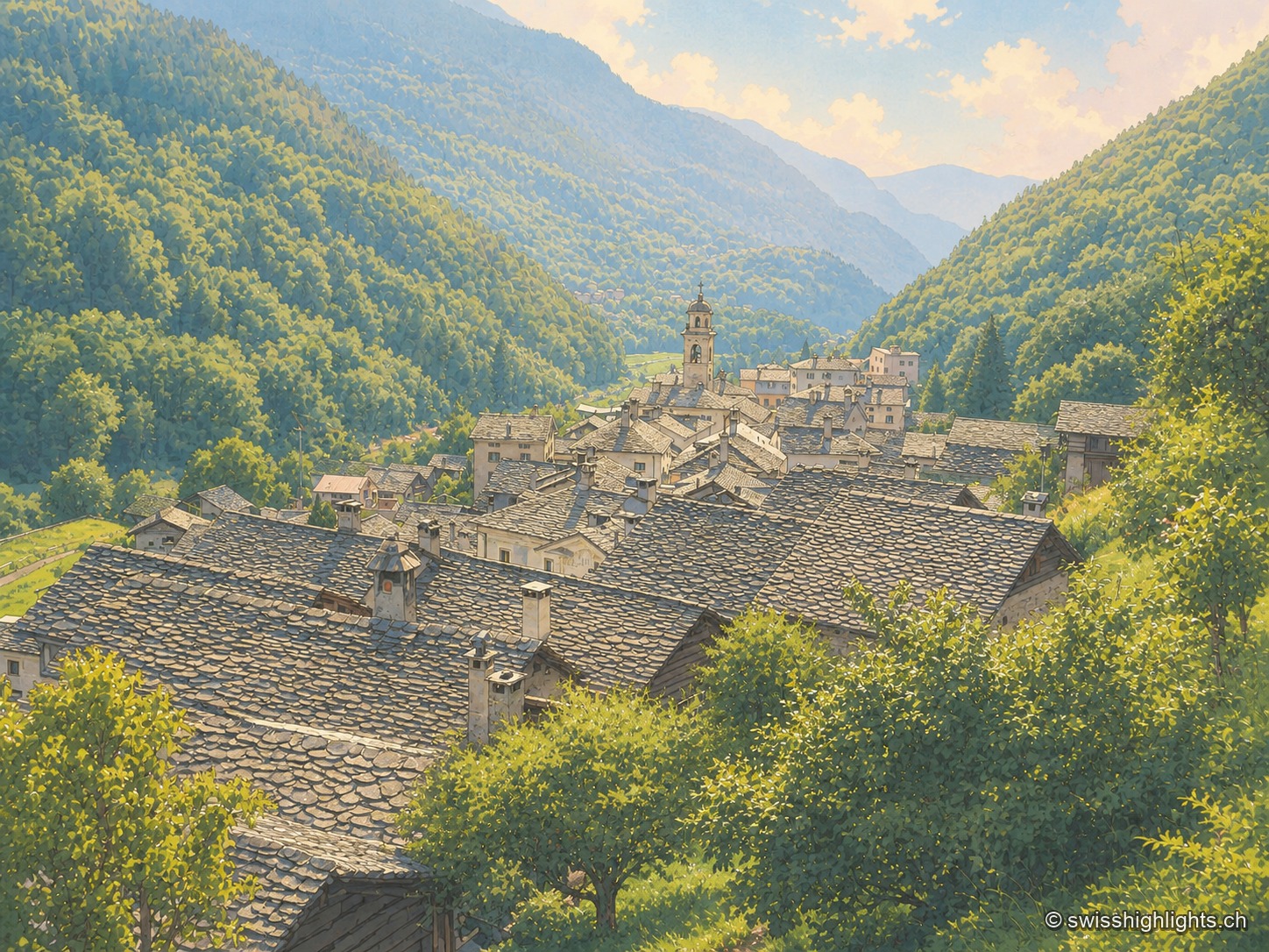
Border village · Val Bregaglia · 1 km as the crow flies
Castasegna
Castasegna, the lowest village of the Graubünden Bregaglia, first recorded in 1374, groups Villa Garbald (1862-1864, Gottfried Semper) and the Roccolo tower (2004, Miller & Maranta), near the former largest chestnut forest in Europe.
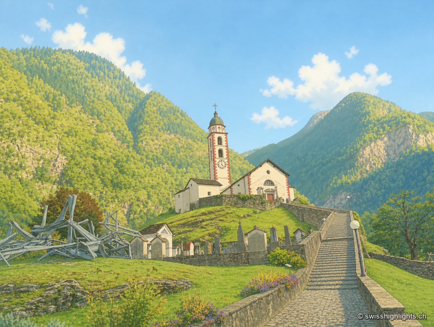
Mesolcina village · Grisons · 24 km as the crow flies
Soazza
324 inhabitants on 46.4 km², more than half of it forest, a church with a striped bell tower on its spur, a frescoed hospice: Soazza holds the hinge between upper and lower Mesolcina.
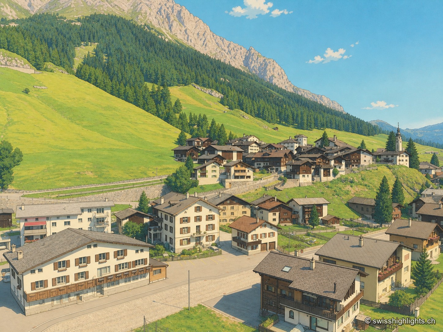
Grisons · Rheinwald · 29 km as the crow flies
Splügen
Splügen holds the floor of the Rheinwald, where the roads to the Splügen and San Bernardino passes part. Its tight-packed houses date from the rebuilding after the fire of 1716.