Alpine pasture hamlet · Vaud Alps
Taveyanne
An alpine pasture hamlet of about thirty shingle-roofed chalets above Gryon, rebuilt after the 1719 fire and protected since 1970.
Taveyanne is an alpine pasture hamlet in the Vaud Alps, above Gryon, at about 1,650 metres. Its name comes from 'tave', a dialect form of 'tavillon', the wood shingle that covers the roofs of its chalets: about thirty of them survive today, lined up on a pasture terrace ringed by rock walls.
The hamlet is attested from 1270. It burned down in 1719, together with the village of Gryon; fifty-seven chalets were rebuilt in the years that followed, of which about thirty have survived to today. Not connected to the power grid, Taveyanne is, for the most part, inhabited only in summer.
In 1970 the commune of Gryon signed a covenant with the Vaud League for Nature Protection making the hamlet a nature reserve. Taveyanne is also listed in the Federal Inventory of Swiss Heritage Sites of National Importance (ISOS).
Why this place is remarkable
Taveyanne owes its shape to a disaster and a decision: the 1719 fire, which destroyed the hamlet along with the village of Gryon, led to the rebuilding of fifty-seven shingle-roofed chalets, of which about thirty remain; the nature-reserve covenant signed by the commune in 1970 has protected them ever since. Not connected to the power grid, the hamlet remains, for the most part, a summer place.
History and origin
In 1869 the writer and poet Juste Olivier composed a song about Taveyanne that has remained attached to the hamlet. Every first Sunday of August it holds the Mi-été (midsummer) festival, which traces back to pastoral traditions of weighing cheese wheels.
What to do and see
- Observe the tavillon roofs, the wooden shingles that gave the hamlet its name, on the thirty or so chalets still standing.
- Spot the alpine pasture flat surrounded by rock walls where the chalets stand in a row, rebuilt after the 1719 fire.
- Understand, through the hamlet's listing under ISOS, the protection this site has enjoyed since the 1970 easement.
Coming with family: what to know
- The hamlet is not connected to the power grid and is mostly inhabited only in summer.
As a couple
- Walk among the shingle-roofed chalets of Taveyanne, lined up on their alpine pasture flat.
- Enjoy the calm of a hamlet not connected to the power grid, mostly alive in summer.
- Recall, in front of the rebuilt chalets, the 1719 fire that destroyed the hamlet along with the village of Gryon.
- Look, if timing allows, for the Mid-Summer festival held there every first Sunday of August.
Location
Loads an interactive Google Maps view on demand, from the place's verified coordinates.
The embedded map will be enabled once an authorized Google Maps key is configured. Use the link above in the meantime.
The map could not load. Check your connection or use the link above to open the place in Google Maps.
Related places
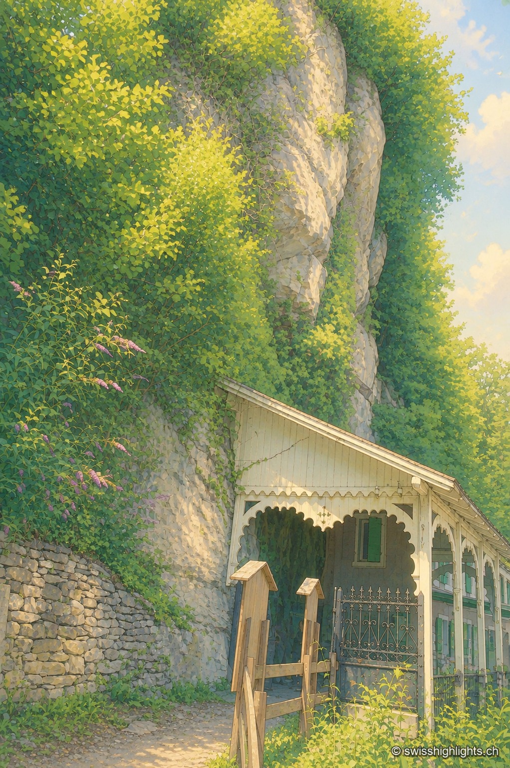
Show cave · Valais · 13 km as the crow flies
Grotte aux Fées
Opened to the public on 15 August 1864, the developed gallery follows the rock for 504 metres and ends beneath a 77-metre fall. Beyond it lies a network of 3,630 metres that the army extended between two Valais forts.
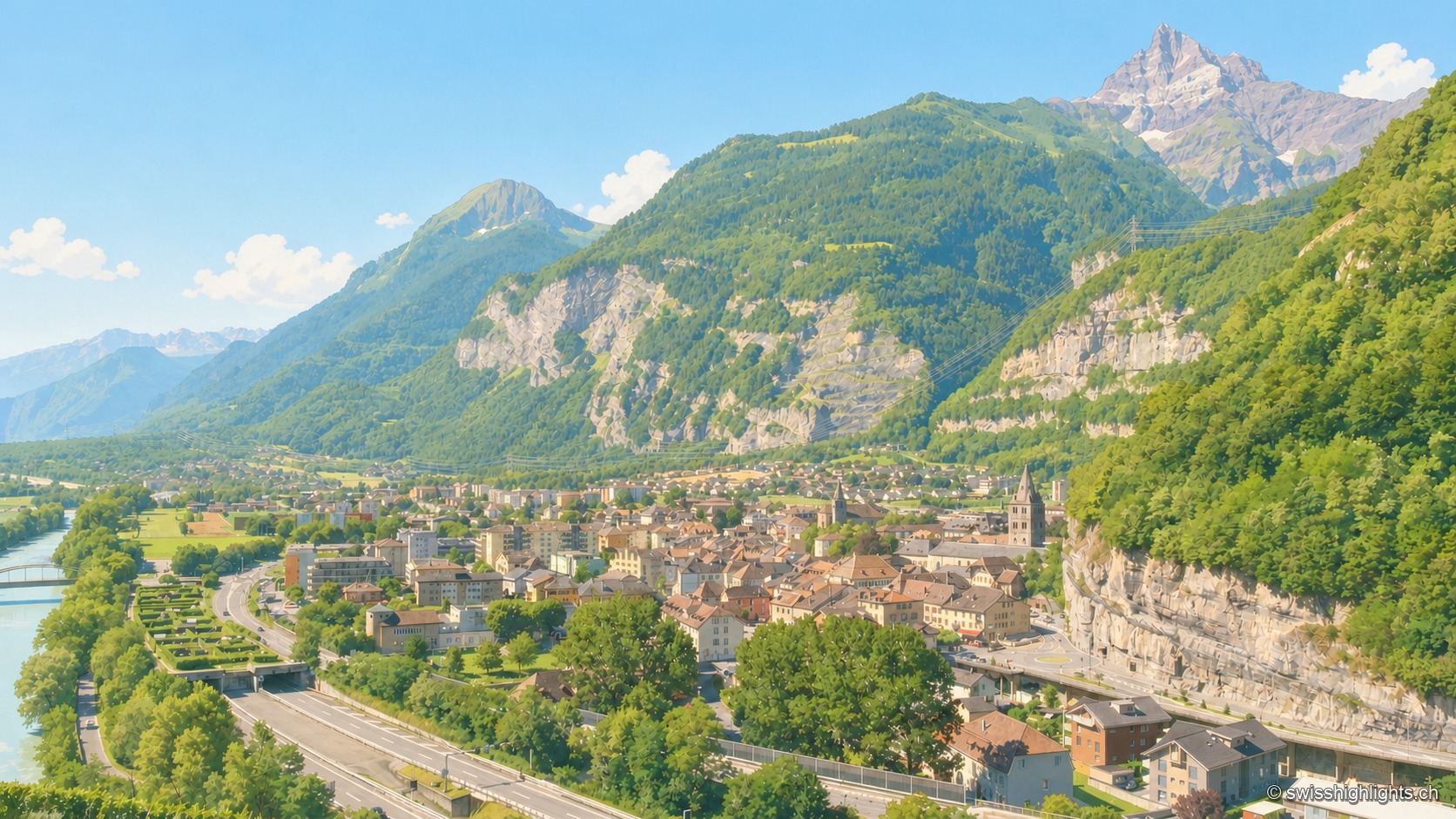
Lock on the Rhône · Valais · 13 km as the crow flies
Saint-Maurice
A stage on the Via Francigena recorded as early as 990, locked by the Château des Gouverneurs and its 12th-century bridge over the Rhône, the town burned down in 1693 before planting, first in Valais, a liberty tree in 1798.
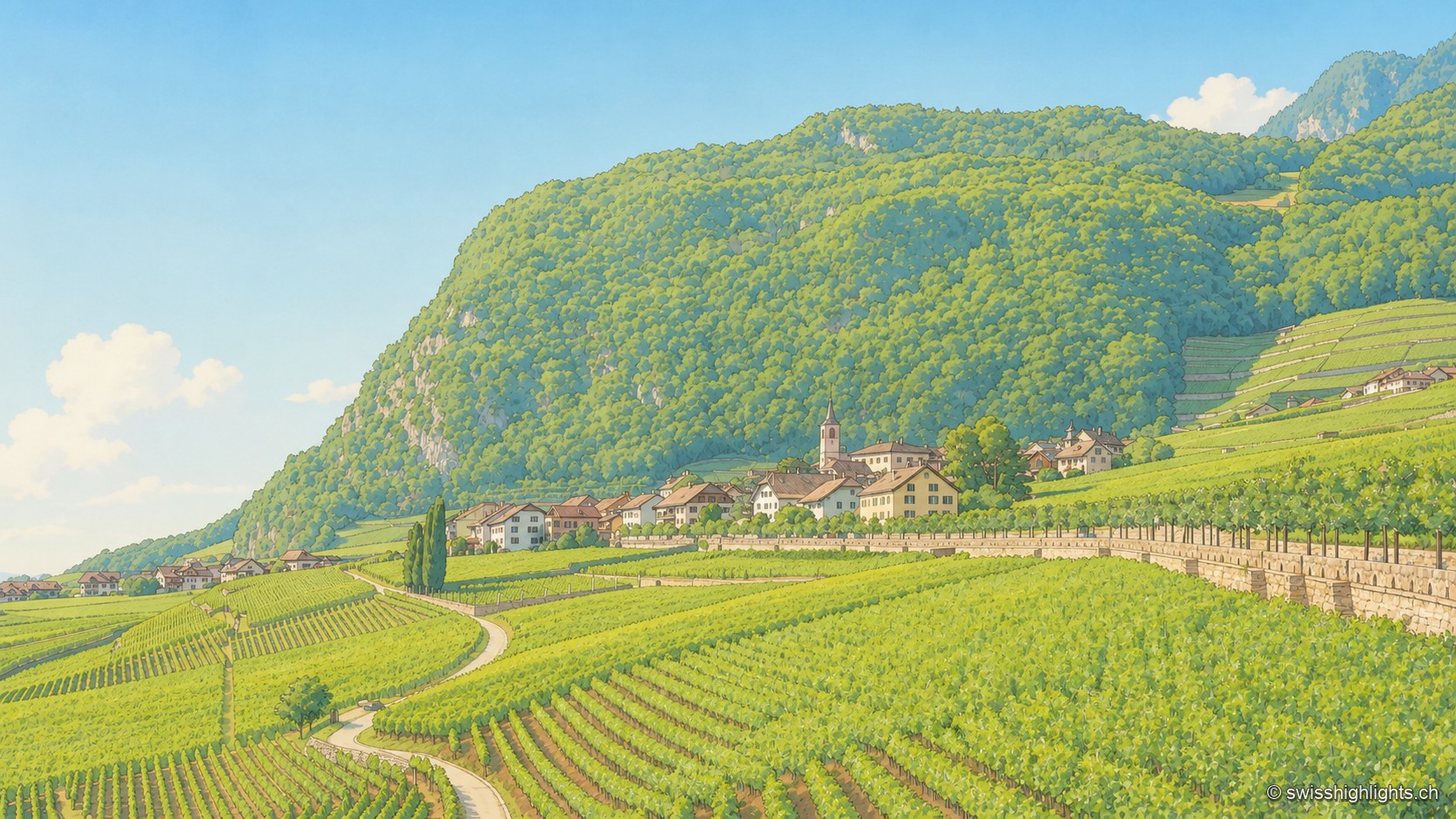
Wine village · Vaud · 14 km as the crow flies
Yvorne
A rockslide destroyed the village in 1584; rebuilt further east from 1607, it planted its vines on the rubble. The Truchefardel quarry, active from the 17th century to 1921, supplied the marble for Lausanne's town hall in 1674.