Wine village · Vaud
Yvorne
Below the cliffs of Le Ciclet, Yvorne lives on vines planted over the 1584 rockslide and on the jaspered marble quarry worked at Truchefardel from the 17th century.
In 1584 a rockslide destroyed much of the village's houses; rebuilding took place further east, between 1607 and 1608. A vineyard was planted on the rockslide debris itself, which gave it its dialect name, L'Ovaille. The commune today covers 12.2 km², of which 47.2% is farmland, 39.3% is forest and only 9.9% is housing and infrastructure according to the 2013-2018 survey; it brings together the village of Yvorne and the hamlets of Versvey, Vers-Morey and Vers-Monthey.
At the place called Truchefardel, a quarry of jaspered marble — grey, red and yellow veined with black and white — was worked from the 17th century by the Doret family of marble-cutters, who built a marble saw there in 1756. The stone was exported across the Vaud region as well as to Bern, Geneva and Lyon; in 1674 it dressed the portal columns of the Palud town hall in Lausanne. Resumed from 1905 to 1921 by the Société des carrières d'Arvel under the names 'Swiss Red' and 'Swiss Grey', it supplied in 1913-1914 the material for the Swiss headwall of the Mont-d'Or tunnel, before closing in 1921.
The village's name, attested from 1025-1031 as Evurna, most likely derives from the Latin personal name Eburna. The commune came under Bernese rule in 1475 and joined the district of Aigle in 1798; the Maison Blanche, built in 1573 and rebuilt in 1609 by Antoine d'Erlach, served as the summer residence of the governors of Aigle. The present Reformed church dates from 1835-1838, the work of architect Jean Gunthert; Yvorne has belonged to the association Switzerland's Most Beautiful Villages since 2017.
The commune counted 1,109 inhabitants on 31 December 2024, up 12.5% between 2010 and 2023. In 2010 a merger project with Aigle and Leysin, accepted by the residents of Yvorne and Leysin, was rejected by those of Aigle by 43 votes in the ballot of 26 September 2010.
Why this place is remarkable
Yvorne owes its vines to a disaster: the village rebuilt after the 1584 rockslide planted its vines on the very debris that had struck it, giving its terroir the name L'Ovaille. A few steps away, the Truchefardel quarry exported its jaspered marble as far as Lausanne's town hall, before closing in 1921.
History and origin
The 1584 rockslide destroyed much of the village, rebuilt further east in 1607-1608; the vines planted on the debris gave the place its dialect name, L'Ovaille. The jaspered marble quarry of Truchefardel, opened in the 17th century, was worked until 1921, with an industrial revival from 1905 to 1921 under the Société des carrières d'Arvel.
What to do and see
- Observe the vineyard planted on the 1584 landslide, which gave its patois name to the locality of L'Ovaille.
- Spot the Truchefardel jasper marble quarry, worked from the 17th century by the Doret marble cutters.
- See the Maison Blanche, built in 1573 and rebuilt in 1609, the former summer residence of the governors of Aigle.
- Stop before the Reformed temple of 1835-1838, the work of architect Jean Gunthert.
Coming with family: what to know
- The vineyard spreads over a former landslide, sloping ground beneath the cliffs of the Ciclet.
As a couple
- Walk among the vines planted on the 1584 landslide, beneath the cliffs of the Ciclet.
- Look for traces of the Truchefardel jasper marble, exported as far as Lausanne, Bern and Geneva.
- Stop before the Maison Blanche of 1609, former residence of the governors of Aigle.
Location
Loads an interactive Google Maps view on demand, from the place's verified coordinates.
The embedded map will be enabled once an authorized Google Maps key is configured. Use the link above in the meantime.
The map could not load. Check your connection or use the link above to open the place in Google Maps.
Related places
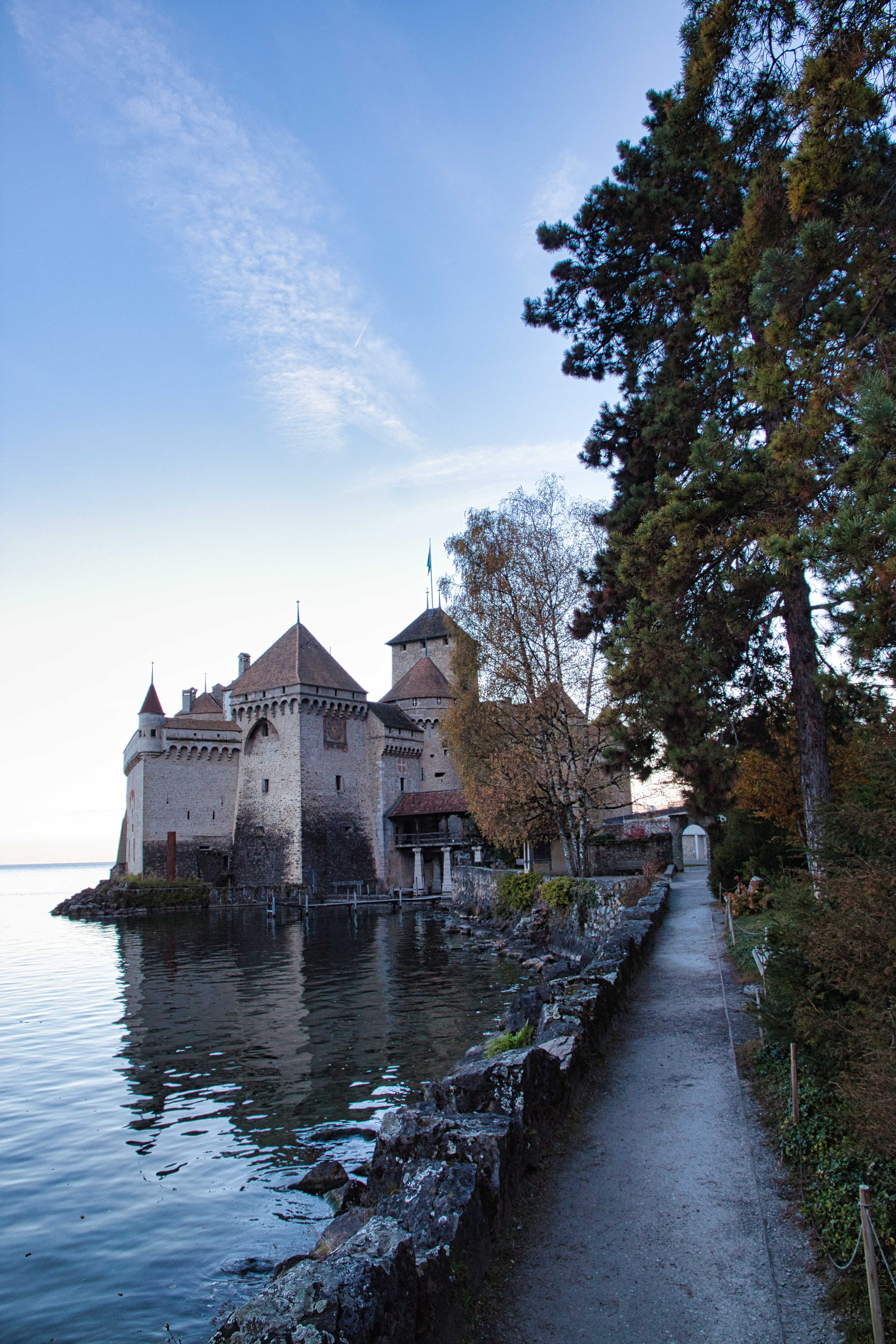
Medieval castle · Vaud · 9 km as the crow flies
Chillon Castle
On a limestone rock at the edge of Lake Geneva, Chillon layers eight centuries of occupation: seat of the counts of Savoy, Bernese bailiwick for some two hundred and sixty years, cantonal monument since 1798.
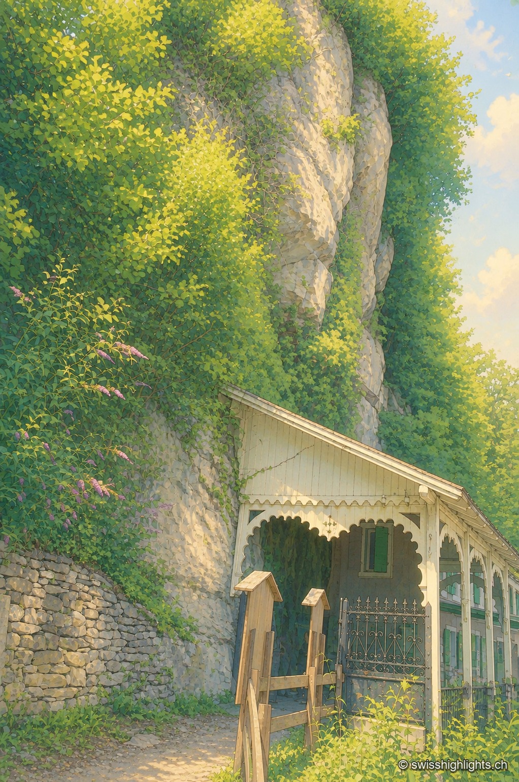
Show cave · Valais · 13 km as the crow flies
Grotte aux Fées
Opened to the public on 15 August 1864, the developed gallery follows the rock for 504 metres and ends beneath a 77-metre fall. Beyond it lies a network of 3,630 metres that the army extended between two Valais forts.
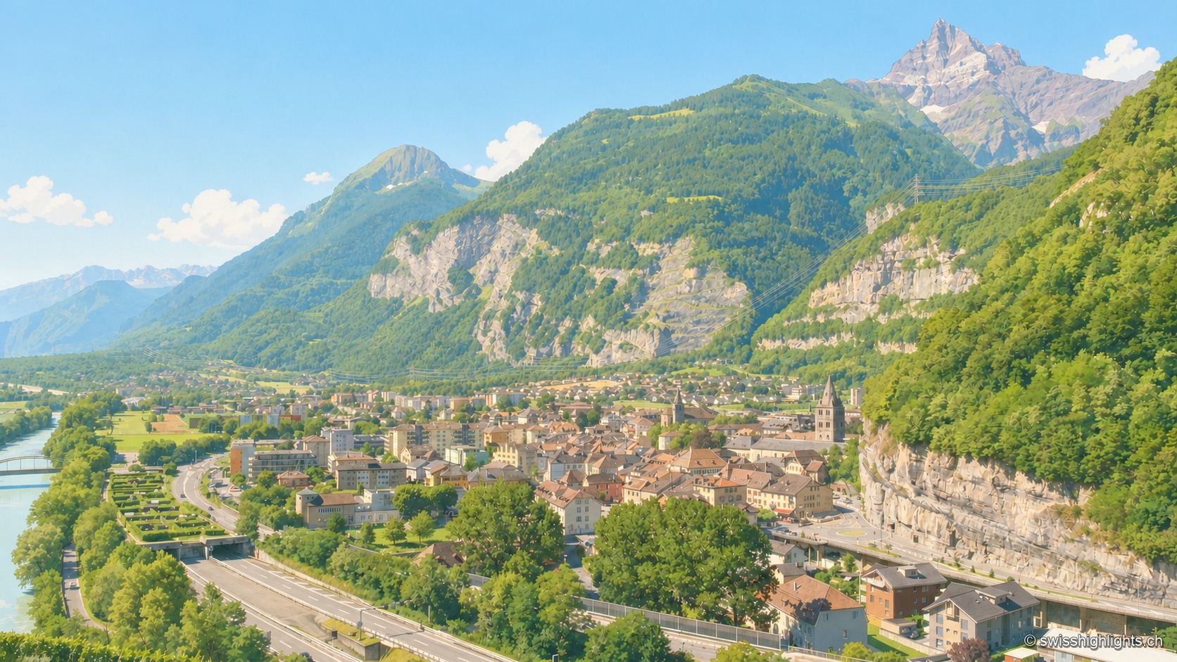
Lock on the Rhône · Valais · 13 km as the crow flies
Saint-Maurice
A stage on the Via Francigena recorded as early as 990, locked by the Château des Gouverneurs and its 12th-century bridge over the Rhône, the town burned down in 1693 before planting, first in Valais, a liberty tree in 1798.