Former mill on the Lorze, ISOS site
Lorzenweid industrial site
In Hagendorn (Cham, ZG), the former mill on Lorzenweidstrasse, turbine houses and eight Kosthäuser, is a regional cultural property on the ISOS inventory.
The Lorzenweid industrial site, at Lorzenweidstrasse 60 in the Hagendorn quarter (municipality of Cham, canton of Zug), brings together a former spinning and weaving mill, its turbine houses and eight Kosthäuser built to house workers, now converted into housing. The ensemble is listed in the Swiss federal inventory of cultural property as an object of regional significance (category B, no. 07246) and appears in the Federal Inventory of Swiss Heritage Sites (ISOS).
The site sits on the Lorze river, whose hydraulic power once drove the mill's turbines; nearby stands the weir of the Hagendorn hydroelectric power station (Kraftwerk Hagendorn), along with a road bridge and a wooden bridge, known as the Strüby bridge, both spanning the river at the heart of the former industrial site.
Why this place is remarkable
The Lorzenweid site keeps, gathered on a single riverside plot on the Lorze, a textile production building, its turbine houses driven by the river's power, and eight workers' houses (Kosthäuser) — a complete 19th-century water-powered industrial ensemble that justifies its listing as a regional cultural property and on the ISOS heritage inventory.
What to do and see
- Spot the former spinning and weaving mill on Lorzenweidstrasse, with its turbine houses powered by the Lorze.
- See the eight Kosthäuser, former workers' housing now converted into homes.
- Follow the Lorze to the dam of the Hagendorn hydroelectric power plant.
- Cross the wooden bridge known as the Strüby bridge, which spans the river at the heart of the industrial site.
Coming with family: what to know
- The site runs along the Lorze river, with a dam and two bridges close by.
As a couple
- Walk along the Lorze, from the Hagendorn dam to the Strüby bridge.
- Observe together the turbine houses and the Kosthäuser of the former spinning mill.
Location
Loads an interactive Google Maps view on demand, from the place's verified coordinates.
The embedded map will be enabled once an authorized Google Maps key is configured. Use the link above in the meantime.
The map could not load. Check your connection or use the link above to open the place in Google Maps.
Related places
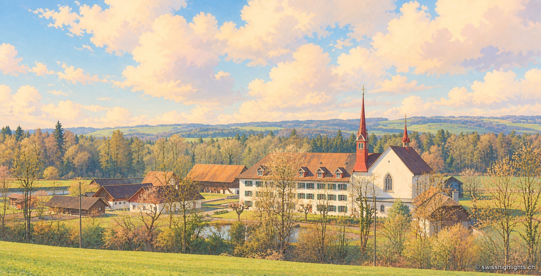
Cistercian abbey · Zug · 2 km as the crow flies
Frauenthal Abbey
Traditionally founded in 1231, with no surviving charter, the abbey went through the 1528 Reformation before being restored by Abbess Anna von Fulach in 1552. Since 2021 it has been a civil-law foundation, still home to a community of nuns.
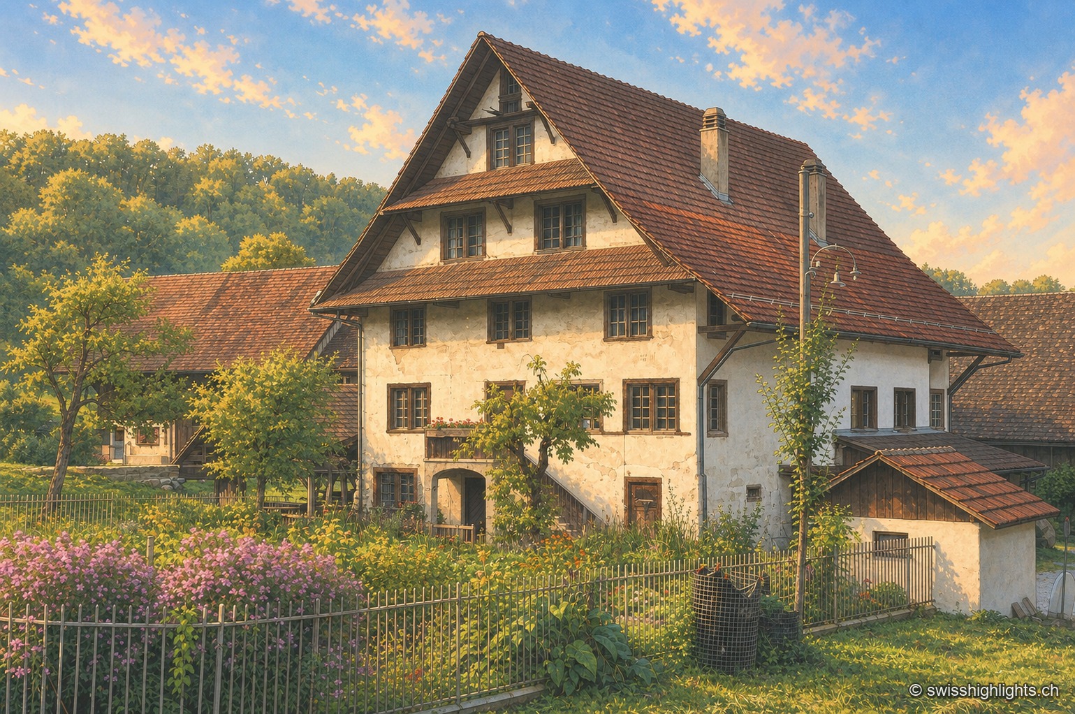
Historic mill · Stallikon, Zurich · 12 km as the crow flies
Aumüli
Probably built in the 9th century and recorded from 1328, the Aumüli keeps its water right, wheel and sawmill. Listed in 1993 and added to the ISOS register in 2012, it has milled spelt again since 2007.
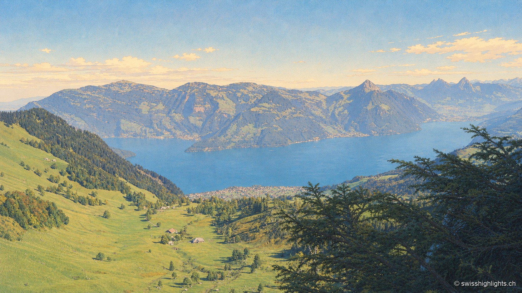
Mountain · Schwyz and Lucerne · 17 km as the crow flies
Rigi
Rigi Kulm stands at 1,797 metres above Lake Lucerne, Lake Zug and Lake Lauerz. The name comes from the bands of rock and grass that ring the summit; the rack railway has climbed it since 1871, the first in Europe.