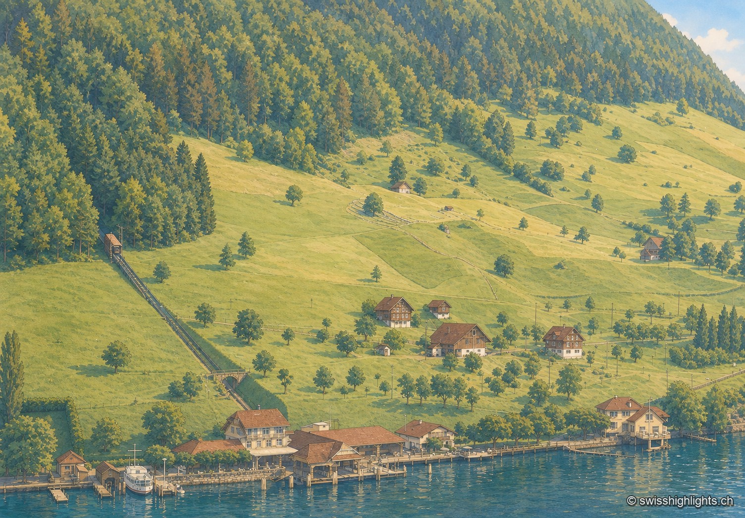
Oblique black-and-white aerial photograph, low light of late day: a steep wooded slope occupies the right half of the frame, an inclined track climbs it diagonally from the lake shore to the upper left. Below, a sloping meadow dotted with fruit trees descends toward a few isolated chalets, then toward a cluster of buildings by the water where a boat is moored to a jetty; the lake stretches out, calm, in the foreground.

Nidwalden

Regions

The canton of Nidwalden brings together 3 places referenced on Swiss Highlights: 1 natural site, 0 heritage or cultural sites, 1 village and 1 town.

Not to miss

Oblique black-and-white aerial photograph, low light of late day: a steep wooded slope occupies the right half of the frame, an inclined track climbs it diagonally from the lake shore to the upper left. Below, a sloping meadow dotted with fruit trees descends toward a few isolated chalets, then toward a cluster of buildings by the water where a boat is moored to a jetty; the lake stretches out, calm, in the foreground.

Lakeside village · Nidwalden

Kehrsiten

The village, at 483 m and with its own postal code (6365), had several lakeside hotels in the 1950s — the Baumgarten, the Seeblick, the Wilhelm Tell — documented by ETH-Bibliothek aerial photographs.
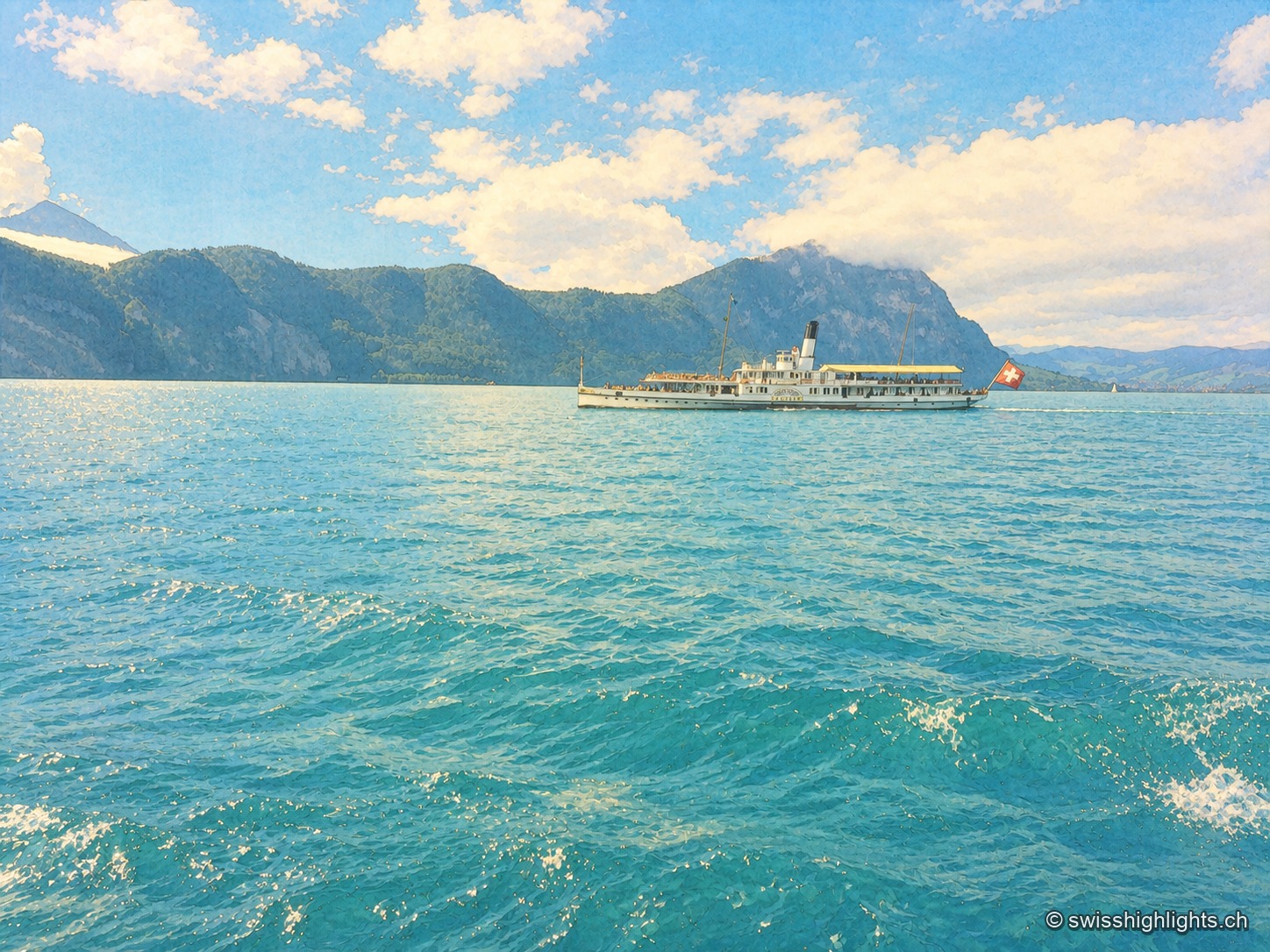
Close-up view of Lake Lucerne: a historic paddle-wheel steamboat, with a Swiss flag at the stern, crosses the lake between wooded mountains, while turquoise waves fill the entire foreground under a blue sky dotted with white clouds.

Glacial lake · Central Switzerland

Lake Lucerne

The lake covers 114 km² at 434 metres above sea level and drops to 214 metres. Its basins change direction at every narrows, below the Pilatus at 2,129 metres and the Rigi at 1,798 metres.
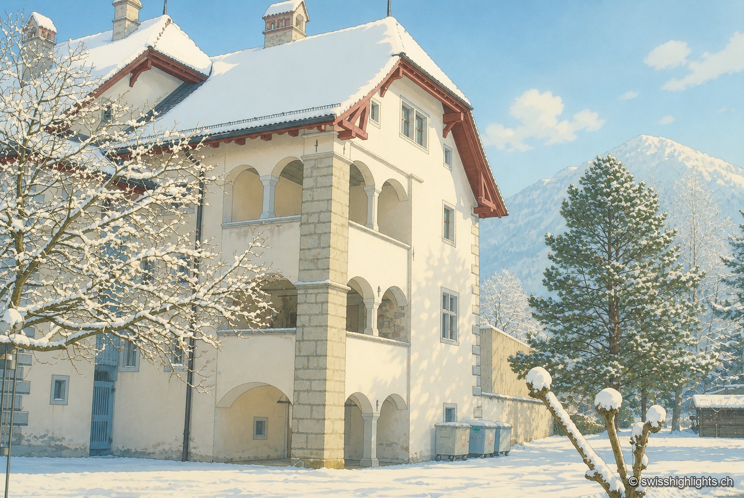
The Winkelriedhaus in Stans under snow: a pale plastered façade with three levels of arcaded loggias and a red tile roof, surrounded by snow-laden trees, with a snow-covered summit in the background under a blue sky.

Below the Stanserhorn · Nidwalden

Stans

In September 1798, French troops killed 414 residents there, including about a hundred women and twenty-six children, in response to the canton's resistance. Today Stans also lives on aviation, with the Pilatus Aircraft plant.

Family suggestions

Couple suggestions

Related collections

“The 50 most beautiful sites” (Switzerland Tourism)

KehrsitenLake LucerneStans
Interactive map — schematic view of Switzerland.
Oblique black-and-white aerial photograph, low light of late day: a steep wooded slope occupies the right half of the frame, an inclined track climbs it diagonally from the lake shore to the upper left. Below, a sloping meadow dotted with fruit trees descends toward a few isolated chalets, then toward a cluster of buildings by the water where a boat is moored to a jetty; the lake stretches out, calm, in the foreground.

Lakeside village · Nidwalden

Kehrsiten

The village, at 483 m and with its own postal code (6365), had several lakeside hotels in the 1950s — the Baumgarten, the Seeblick, the Wilhelm Tell — documented by ETH-Bibliothek aerial photographs.

Close-up view of Lake Lucerne: a historic paddle-wheel steamboat, with a Swiss flag at the stern, crosses the lake between wooded mountains, while turquoise waves fill the entire foreground under a blue sky dotted with white clouds.

Glacial lake · Central Switzerland

Lake Lucerne

The lake covers 114 km² at 434 metres above sea level and drops to 214 metres. Its basins change direction at every narrows, below the Pilatus at 2,129 metres and the Rigi at 1,798 metres.

The Winkelriedhaus in Stans under snow: a pale plastered façade with three levels of arcaded loggias and a red tile roof, surrounded by snow-laden trees, with a snow-covered summit in the background under a blue sky.

Below the Stanserhorn · Nidwalden

Stans

In September 1798, French troops killed 414 residents there, including about a hundred women and twenty-six children, in response to the canton's resistance. Today Stans also lives on aviation, with the Pilatus Aircraft plant.