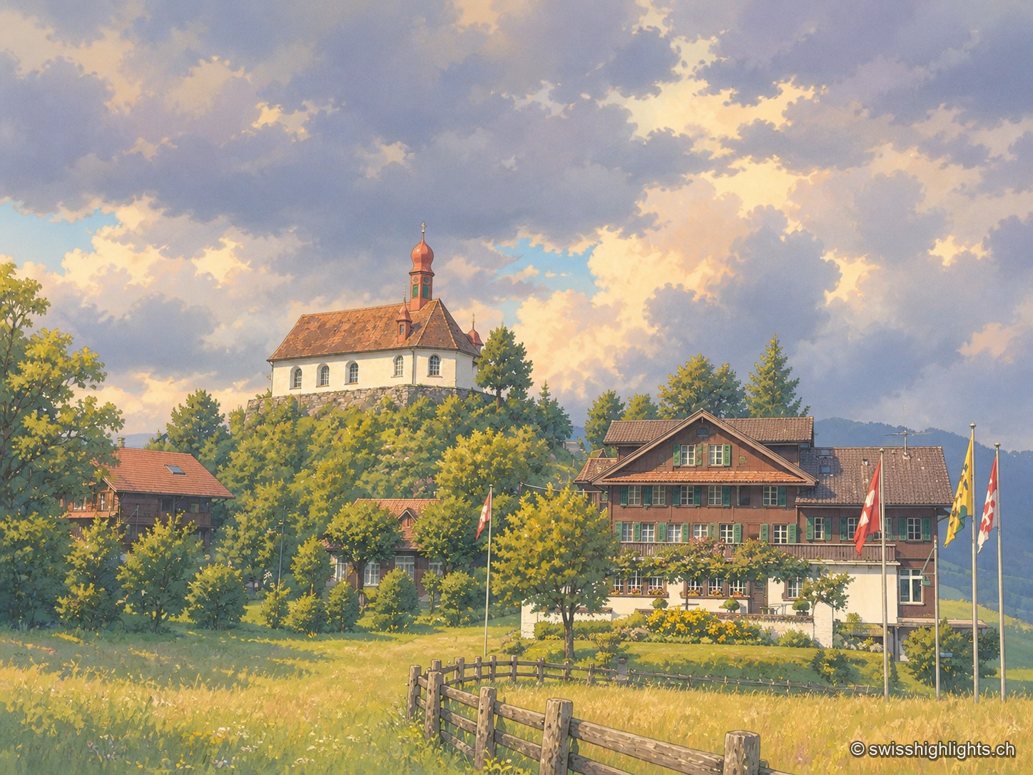
Under a grey sky with low clouds, the Saint Charles Borromeo chapel crowns a wooded knoll with its red roof and onion-domed spire; below, the brown-timbered Paxmontana inn flies flags, surrounded by parked cars and sloping green meadows.

Obwalden

Regions

The canton of Obwalden brings together 4 places referenced on Swiss Highlights: 2 natural sites, 0 heritage or cultural sites, 2 villages and 0 towns.

Not to miss

Under a grey sky with low clouds, the Saint Charles Borromeo chapel crowns a wooded knoll with its red roof and onion-domed spire; below, the brown-timbered Paxmontana inn flies flags, surrounded by parked cars and sloping green meadows.

Pilgrimage village · Obwalden

Flüeli-Ranft

Niklaus von Flüe (1417-1487) withdraws to the Ranft in 1467. The upper chapel is consecrated in 1469, the lower chapel built in 1501. Canonised on 15 May 1947 under Pius XII, he gave his name to the village, called only Flüeli until 1966.
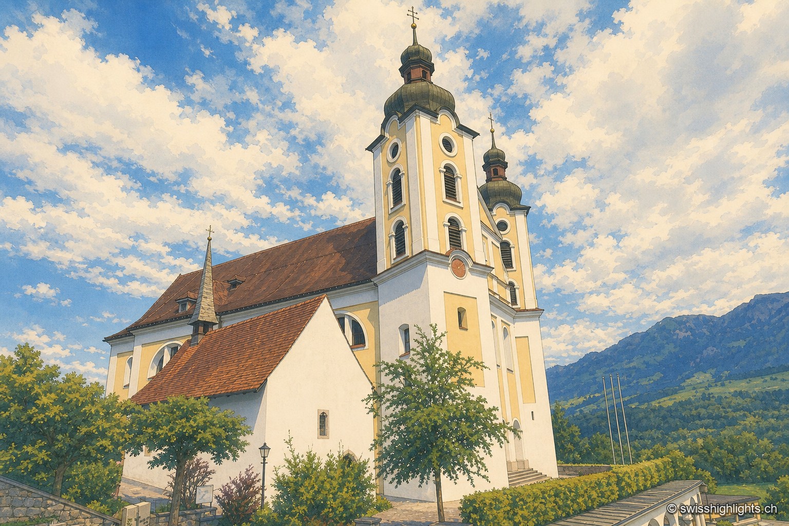
Low-angle view of the church of Saints Peter and Paul in Sarnen, in the Kirchhofen district: its two onion-domed towers stand out against a vast sky heavy with clouds, with an alpine peak visible in the background and a few village rooftops at the foot of the building.

Historic quarter · Obwalden

Kirchhofen

A mill first recorded in 1534 still turns here as a restaurant; Count Ulrich von Lenzburg had ceded his rights over Sarnen's church and over the "Unterer Hof" to Beromünster monastery, and that estate's name later gave the quarter its own.

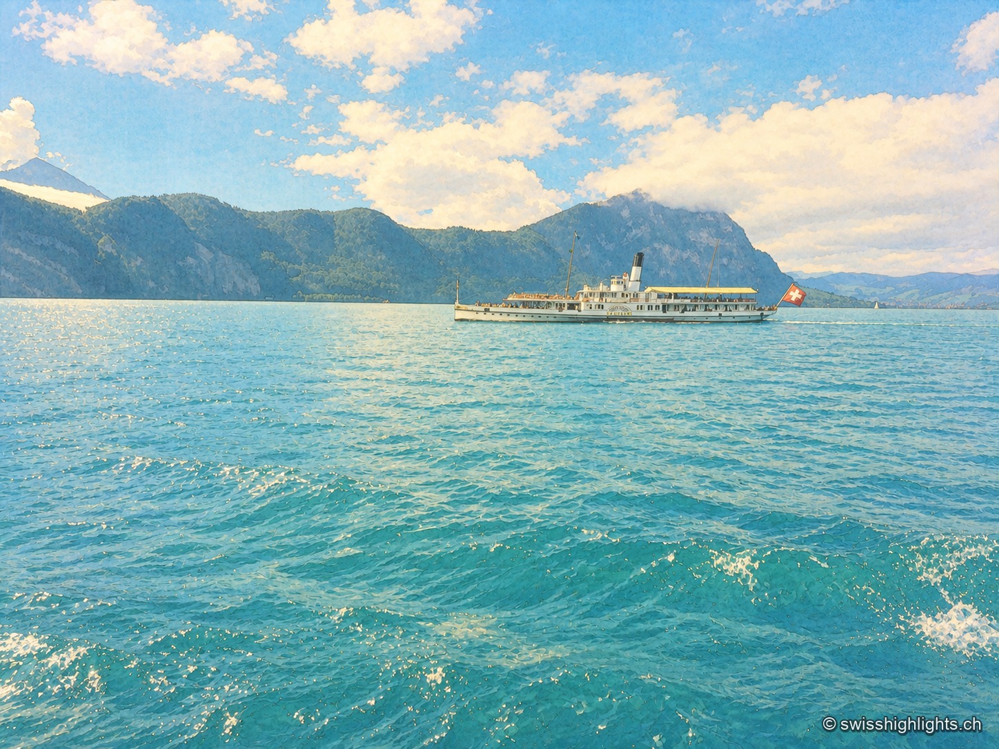
Close-up view of Lake Lucerne: a historic paddle-wheel steamboat, with a Swiss flag at the stern, crosses the lake between wooded mountains, while turquoise waves fill the entire foreground under a blue sky dotted with white clouds.

Glacial lake · Central Switzerland

Lake Lucerne

The lake covers 114 km² at 434 metres above sea level and drops to 214 metres. Its basins change direction at every narrows, below the Pilatus at 2,129 metres and the Rigi at 1,798 metres.

Family suggestions

Couple suggestions

Related collections

“The 50 most beautiful sites” (Switzerland Tourism)

Flüeli-RanftKirchhofenLake LucerneTitlis
Interactive map — schematic view of Switzerland.
Under a grey sky with low clouds, the Saint Charles Borromeo chapel crowns a wooded knoll with its red roof and onion-domed spire; below, the brown-timbered Paxmontana inn flies flags, surrounded by parked cars and sloping green meadows.

Pilgrimage village · Obwalden

Flüeli-Ranft

Niklaus von Flüe (1417-1487) withdraws to the Ranft in 1467. The upper chapel is consecrated in 1469, the lower chapel built in 1501. Canonised on 15 May 1947 under Pius XII, he gave his name to the village, called only Flüeli until 1966.
Low-angle view of the church of Saints Peter and Paul in Sarnen, in the Kirchhofen district: its two onion-domed towers stand out against a vast sky heavy with clouds, with an alpine peak visible in the background and a few village rooftops at the foot of the building.

Historic quarter · Obwalden

Kirchhofen

A mill first recorded in 1534 still turns here as a restaurant; Count Ulrich von Lenzburg had ceded his rights over Sarnen's church and over the "Unterer Hof" to Beromünster monastery, and that estate's name later gave the quarter its own.

Close-up view of Lake Lucerne: a historic paddle-wheel steamboat, with a Swiss flag at the stern, crosses the lake between wooded mountains, while turquoise waves fill the entire foreground under a blue sky dotted with white clouds.

Glacial lake · Central Switzerland

Lake Lucerne

The lake covers 114 km² at 434 metres above sea level and drops to 214 metres. Its basins change direction at every narrows, below the Pilatus at 2,129 metres and the Rigi at 1,798 metres.

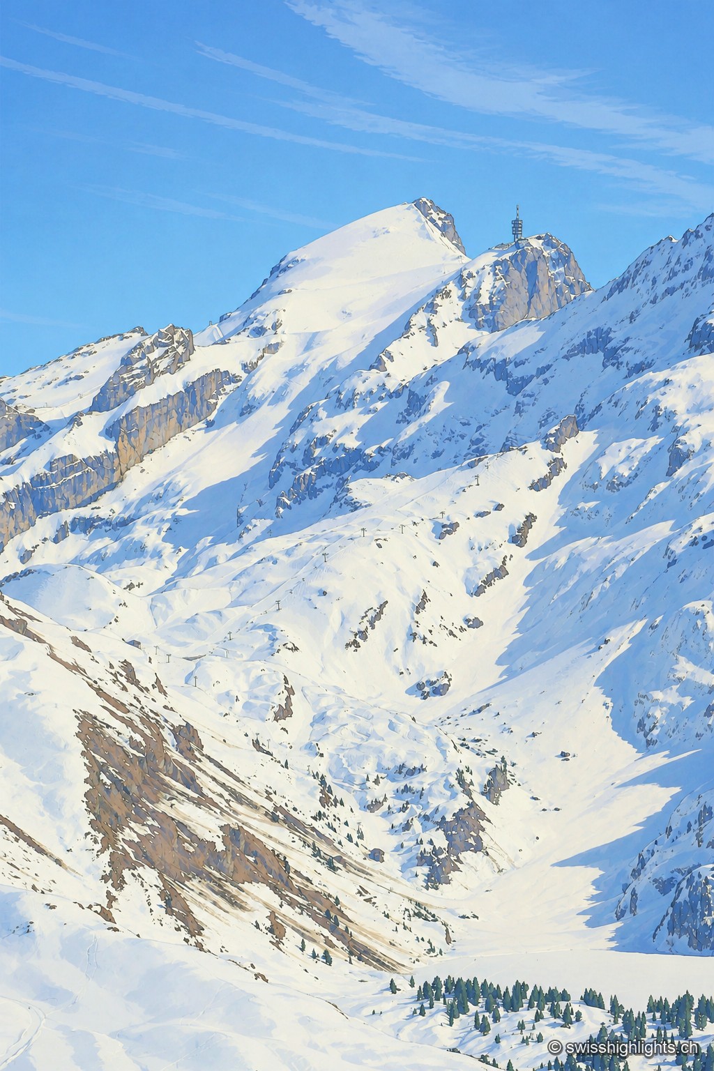
The snow-covered summit of the Titlis rises as a white point against a blue sky, extended to the right by a rocky spur crowned with an antenna tower; below, snowfields and rock walls overlook a wide basin of snow crossed by a ski lift.

Summit · Obwalden–Bern

Titlis

The Titlis reaches 3,238 metres at the end of an east–west limestone ridge. A glacier of 1.7 square kilometres covers its summit area; the upper cable-car station stands at 3,020 metres.