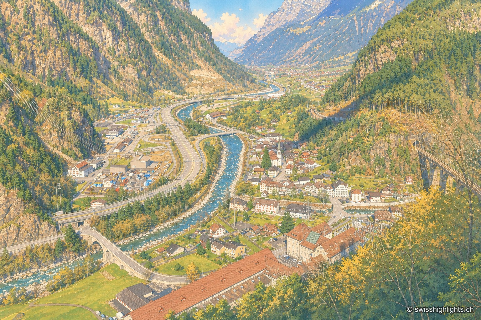
Elevated view of Amsteg from a wooded slope: the village and its bell tower occupy the floor of the Reuss valley, the gravel-banked river crosses it, the motorway and road run along the left bank, and the Gotthard railway viaduct spans the ravine on the right, between steep slopes.

Uri

Regions

The canton of Uri brings together 5 places referenced on Swiss Highlights: 1 natural site, 1 heritage or cultural site, 3 villages and 0 towns.

Not to miss

Elevated view of Amsteg from a wooded slope: the village and its bell tower occupy the floor of the Reuss valley, the gravel-banked river crosses it, the motorway and road run along the left bank, and the Gotthard railway viaduct spans the ravine on the right, between steep slopes.

Transit village · Uri

Amsteg

A staging post in the 18th century, ruined by the coming of the railway, revived in the 20th by hydroelectricity: the power station of 1922 was replaced in 1998 by a plant cut inside the mountain.
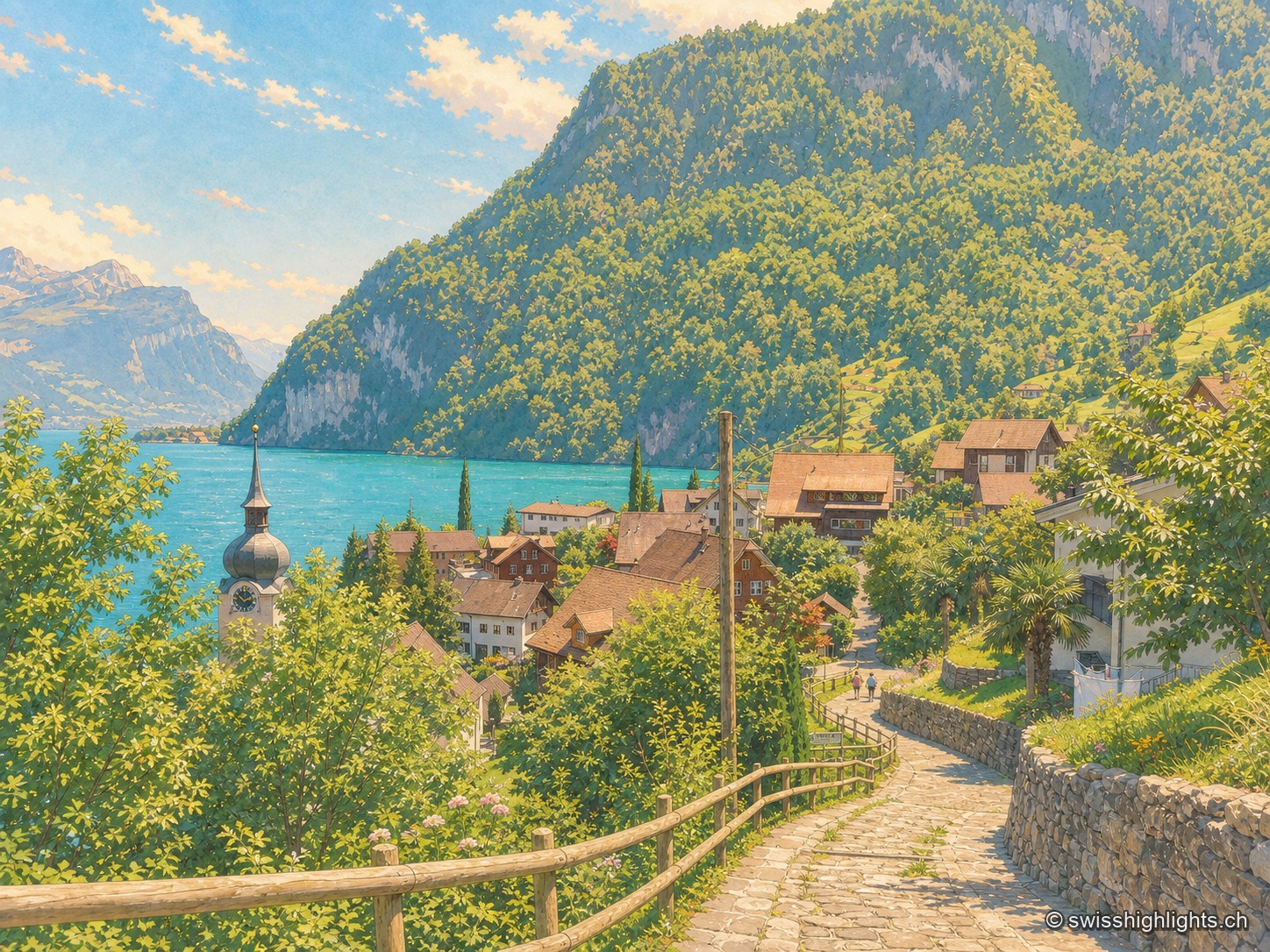
Elevated summer view from a stone path lined with a wooden railing, descending toward the village of Bauen nestled on the shore of Lake Lucerne; the onion-domed bell tower of St. Ida's church stands out among the roofs, facing the turquoise water of the lake enclosed by wooded cliffs and rocky peaks under a blue sky dotted with clouds.

Lakeshore, Nobel's factory, anthem

Bauen

On the west shore of Lake Uri, at the foot of the Bauenstöcke, the mild climate (figs, palm trees) contrasts with the industrial history of neighbouring Isleten, where Nobel produced dynamite and later blasting gelatin until 2003.
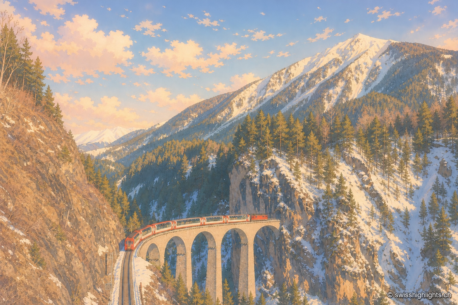
A red and white Glacier Express train, its panoramic cars broadly glazed, curves along the stone arches of the Landwasser Viaduct and is about to head straight into the tunnel cut directly into the limestone wall; opposite, a slope of dark conifers descends to the bottom of the ravine, and the track the train has just left can be made out below to the left.

Railway line · Valais–Graubünden

Glacier Express

The train crosses 291 bridges and 91 tunnels over 291 kilometres of metre-gauge track, climbs to the Oberalp Pass at 2,033 metres and drops again to Chur, at 585 metres, its lowest point.
Family suggestions

Couple suggestions

Related collections

Best Swiss Villages members · “The 50 most beautiful sites” (Switzerland Tourism)

AmstegBauenGlacier ExpressHospentalLake Lucerne
Interactive map — schematic view of Switzerland.
Elevated view of Amsteg from a wooded slope: the village and its bell tower occupy the floor of the Reuss valley, the gravel-banked river crosses it, the motorway and road run along the left bank, and the Gotthard railway viaduct spans the ravine on the right, between steep slopes.

Transit village · Uri

Amsteg

A staging post in the 18th century, ruined by the coming of the railway, revived in the 20th by hydroelectricity: the power station of 1922 was replaced in 1998 by a plant cut inside the mountain.

Elevated summer view from a stone path lined with a wooden railing, descending toward the village of Bauen nestled on the shore of Lake Lucerne; the onion-domed bell tower of St. Ida's church stands out among the roofs, facing the turquoise water of the lake enclosed by wooded cliffs and rocky peaks under a blue sky dotted with clouds.

Lakeshore, Nobel's factory, anthem

Bauen

On the west shore of Lake Uri, at the foot of the Bauenstöcke, the mild climate (figs, palm trees) contrasts with the industrial history of neighbouring Isleten, where Nobel produced dynamite and later blasting gelatin until 2003.

A red and white Glacier Express train, its panoramic cars broadly glazed, curves along the stone arches of the Landwasser Viaduct and is about to head straight into the tunnel cut directly into the limestone wall; opposite, a slope of dark conifers descends to the bottom of the ravine, and the track the train has just left can be made out below to the left.

Railway line · Valais–Graubünden

Glacier Express

The train crosses 291 bridges and 91 tunnels over 291 kilometres of metre-gauge track, climbs to the Oberalp Pass at 2,033 metres and drops again to Chur, at 585 metres, its lowest point.

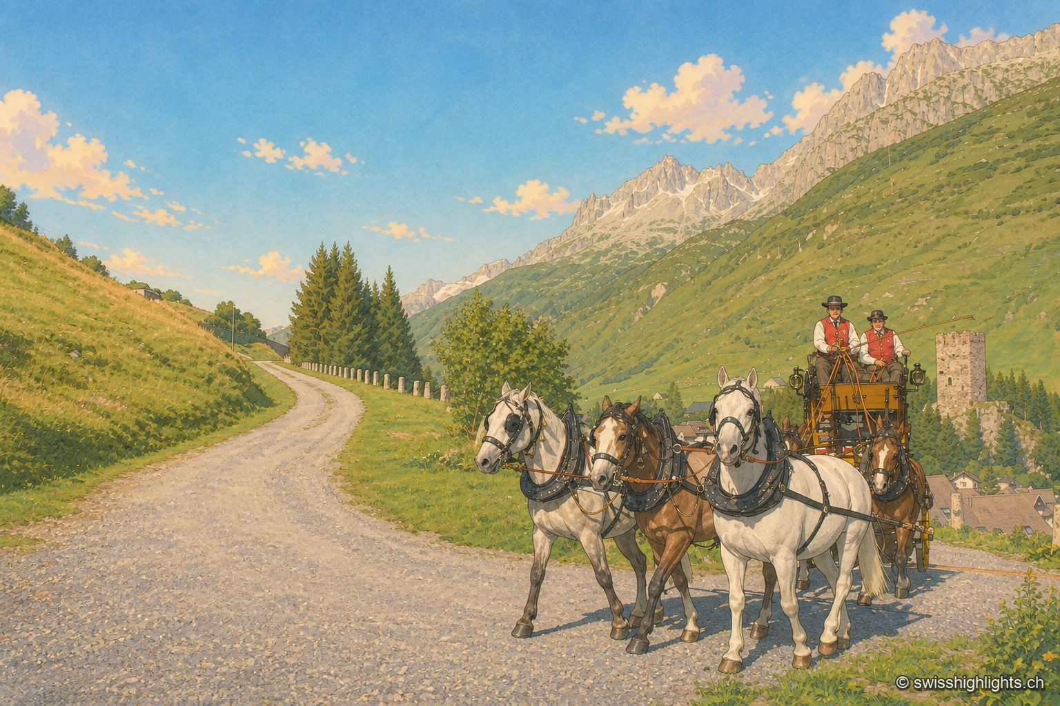
A team of five horses, three dappled grey and two bay, pulls a yellow-and-black stagecoach along a gravel road descending into the Urseren valley; two postilions in red waistcoats and black hats hold the reins. On the right, the ruined square tower of Hospental stands on a grassy knoll above the village rooftops; in the background, rocky ridges and snowfields close off the valley under a cloudless blue sky.

Gotthard village · Uri

Hospental

182 inhabitants, a 13th-century tower emptied of its floors, timber houses rebuilt after the fire of 1669: Hospental stands where two torrents meet to become the Reuss.
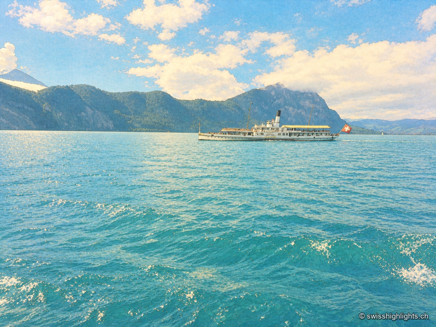
Close-up view of Lake Lucerne: a historic paddle-wheel steamboat, with a Swiss flag at the stern, crosses the lake between wooded mountains, while turquoise waves fill the entire foreground under a blue sky dotted with white clouds.

Glacial lake · Central Switzerland

Lake Lucerne

The lake covers 114 km² at 434 metres above sea level and drops to 214 metres. Its basins change direction at every narrows, below the Pilatus at 2,129 metres and the Rigi at 1,798 metres.