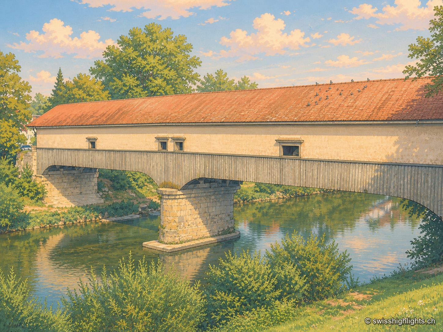
The covered wooden bridge seen from the bank at a three-quarter angle: a long cladding of grey planks and a red tiled roof span the entire frame, carried by a stone pier planted in the middle of the Thur; the calm green water reflects the arch and the vegetation of the banks, and birds are perched in a row along the ridge of the roof.

Zurich and surroundings

Tourist regions

6 places referenced, across Zurich.

An editorial grouping by Swiss Highlights, not an official administrative division.

AndelfingenAumüliEglisauGrüningenSchlieren GasworksZurich
Interactive map — schematic view of Switzerland.

Places on the map

The covered wooden bridge seen from the bank at a three-quarter angle: a long cladding of grey planks and a red tiled roof span the entire frame, carried by a stone pier planted in the middle of the Thur; the calm green water reflects the arch and the vegetation of the banks, and birds are perched in a row along the ridge of the roof.

Weinland town · Zurich

Andelfingen

Recorded in 1248, Andelfingen commanded one of the few crossings of the Thur: a toll, a bridge already widened in 1324, destroyed in 1799 and rebuilt in wood in 1814-1815. The town keeps a castle of 1780-1782 and a chancellery of 1697.
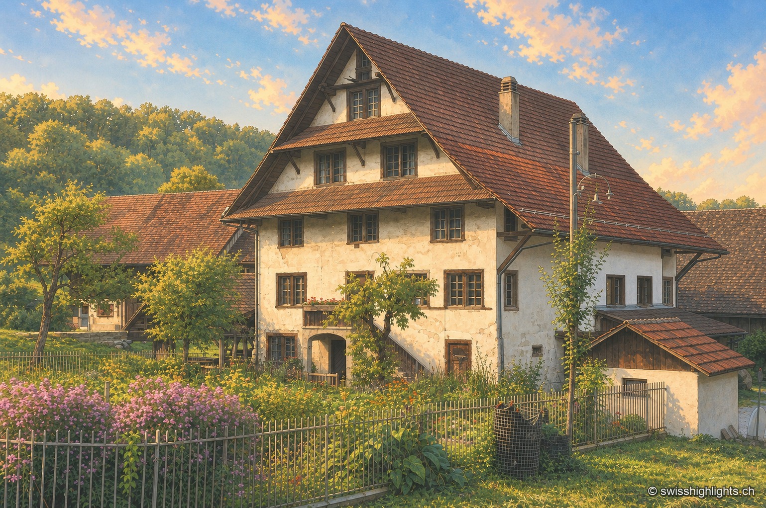
The Aumüli mill and its outbuildings: a tall whitewashed half-timbered façade beneath a wide, steeply pitched brown tile roof with generous overhang, surrounded by a fenced garden where mauve butterfly bushes grow, with the forest on the southern slope of the Albis in the background.

Historic mill · Stallikon, Zurich

Aumüli

Probably built in the 9th century and recorded from 1328, the Aumüli keeps its water right, wheel and sawmill. Listed in 1993 and added to the ISOS register in 2012, it has milled spelt again since 2007.

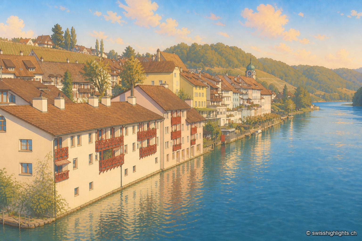
The Eglisau waterfront seen from the bridge: a row of houses with red wooden balconies plunging into the blue Rhine, an onion-domed bell tower in the middle of the row, a vine-planted slope above, and the river receding between wooded hillsides.

Rhine wine town · Zurich

Eglisau

On the north bank of the Rhine, Eglisau lines its houses at the water's edge below vineyard slopes. The dam built between 1916 and 1920 raised the river by 8.5 metres, taking with it the old bridge and the houses along the bank.

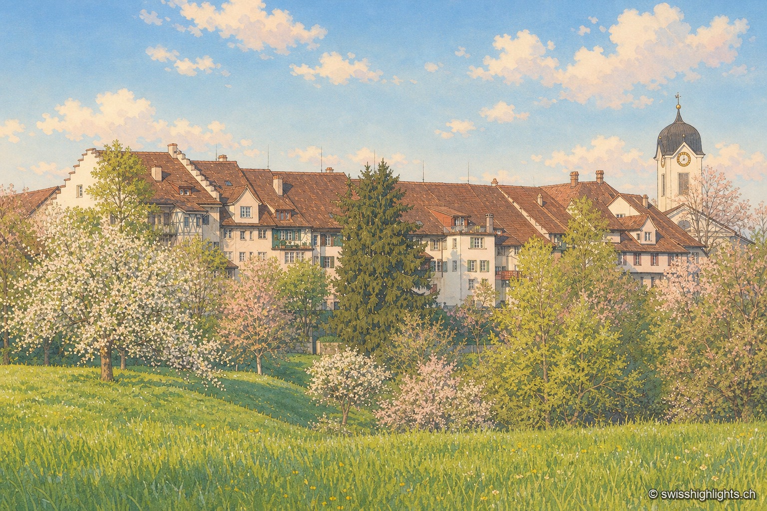
The town of Grüningen seen from a flowering meadow: a row of red-tile-roofed houses stretches behind trees in white blossom, dominated by the onion-domed church steeple, under a blue sky dotted with clouds.

Bailiwick town · Zurich

Grüningen

The castle goes back to the 13th century and housed the Zurich bailiffs until 1798; the Reformed church beside it dates from 1782-1783. A fire struck both in 1970. The commune received the Wakker Prize in 1976.

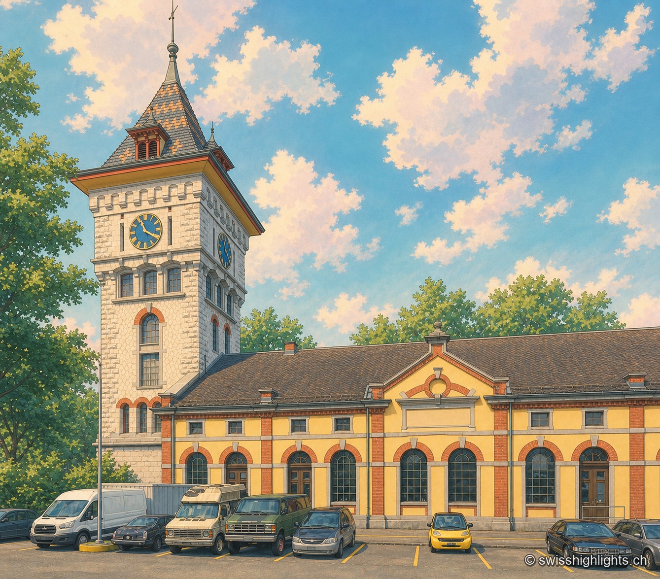
The clock tower of the former Gaswerk Schlieren power station, built of pale stone with a conical roof of orange and grey diamond tiles and two visible clock faces, rises above the yellow-and-brick hall of the neighbouring Kraftcentrale; the sky is blue, dotted with large white clouds, and a few cars are parked in front of the building.

Former gasworks · Zurich

Schlieren Gasworks

Opened in 1898 and expanded through 1909, the Schlieren gasworks produced up to 250,000 m³ of gas a day before closing in 1974. Its gasometer now houses a museum and a working steam engine.

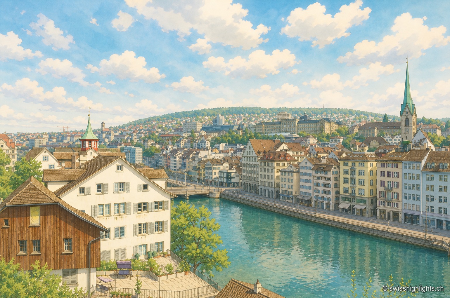
Along the emerald-green waters of the Limmat, the continuous facade of houses on the Zurich quay lines up on the right, with the church spires rising above the city in the background; in the foreground on the left, a large brown half-timbered building stands next to a white house, behind a metal railing running along the water.

Cantonal capital · Zurich

Zurich

433,989 inhabitants in December 2023, a river people swim across in summer, a 869-metre summit at the end of a train line: Zurich fits into a corridor three to four kilometres wide.