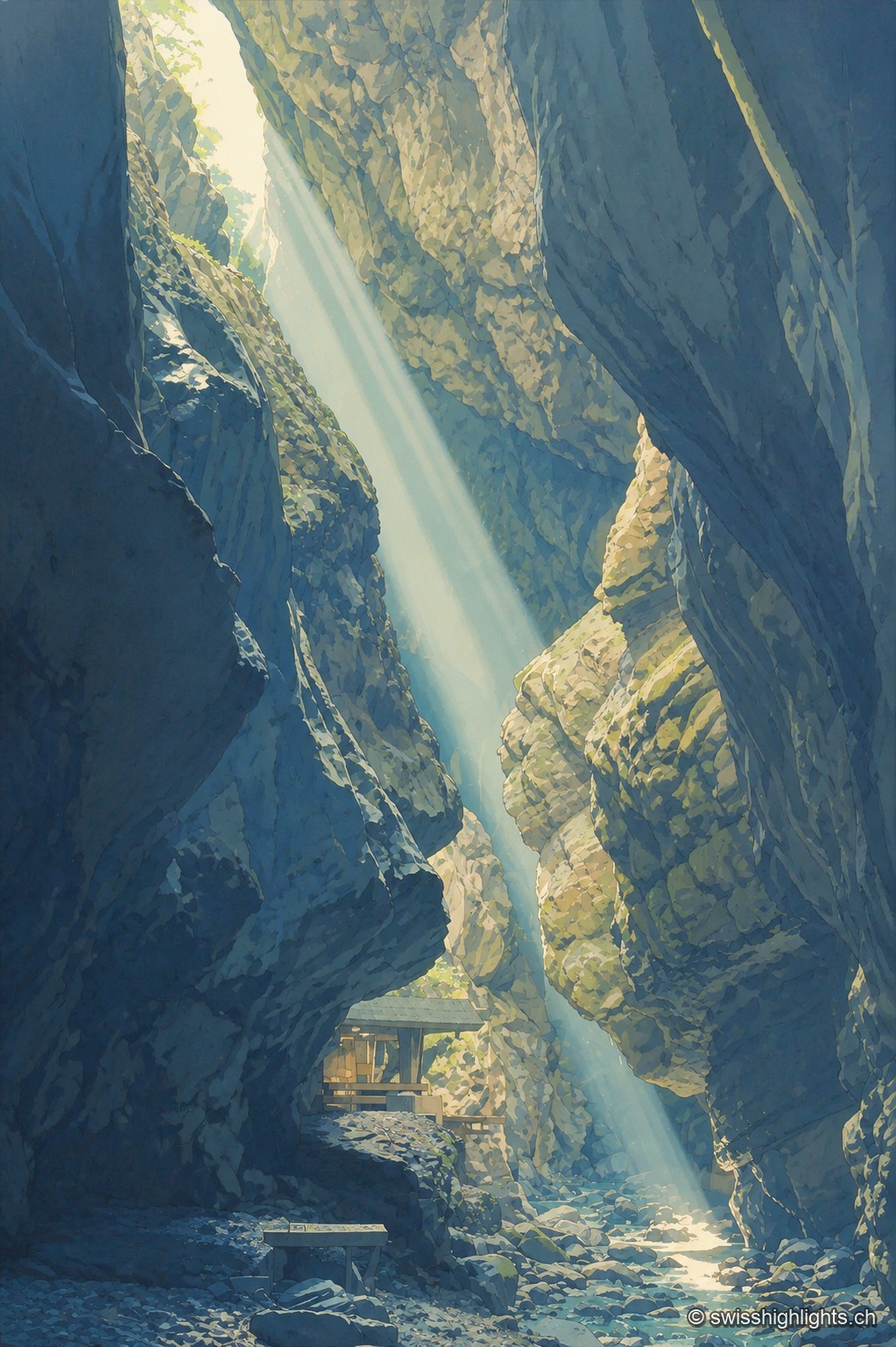
Limestone gorge · St. Gallen
Gorges de la Tamina
Between Pfäfers and Bad Ragaz, the Tamina carved an 8.4 km gorge over 15,000 years, spanned by natural rock bridges; at its head, a 36.6°C spring, tapped since 1350, now feeds the baths of Bad Ragaz.
Regions
The canton of St. Gallen brings together 6 places referenced on Swiss Highlights: 1 natural site, 1 heritage or cultural site, 4 villages and 0 towns.
Limestone gorge · St. Gallen
Between Pfäfers and Bad Ragaz, the Tamina carved an 8.4 km gorge over 15,000 years, spanned by natural rock bridges; at its head, a 36.6°C spring, tapped since 1350, now feeds the baths of Bad Ragaz.
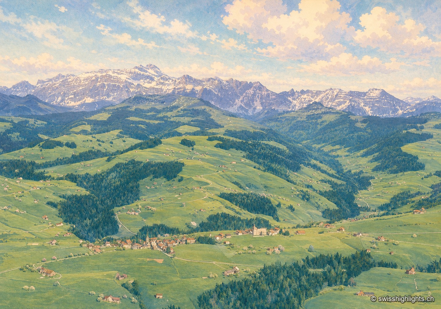
Mountain village · St Gallen
Made a parity village in 1526, Hemberg had Catholics and Protestants worship in the same building for two and a half centuries, until the two churches of 1779 and 1782. The place ranges from 709 to 1,139 metres.
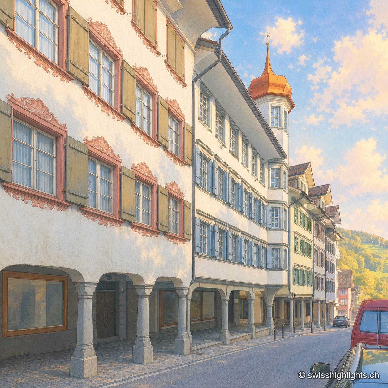
Medieval small town · St Gallen
Recorded in 1228, the town gained charters of liberties from 1400. The county passed to the Abbey of St Gallen in 1468, which stationed its reeve there until 1798. Wakker Prize 2023, it joined Switzerland's Most Beautiful Villages in 2016.
Family suggestions
Related collections
Best Swiss Villages members · “The 50 most beautiful sites” (Switzerland Tourism)
Limestone gorge · St. Gallen
Between Pfäfers and Bad Ragaz, the Tamina carved an 8.4 km gorge over 15,000 years, spanned by natural rock bridges; at its head, a 36.6°C spring, tapped since 1350, now feeds the baths of Bad Ragaz.
Mountain village · St Gallen
Made a parity village in 1526, Hemberg had Catholics and Protestants worship in the same building for two and a half centuries, until the two churches of 1779 and 1782. The place ranges from 709 to 1,139 metres.
Medieval small town · St Gallen
Recorded in 1228, the town gained charters of liberties from 1400. The county passed to the Abbey of St Gallen in 1468, which stationed its reeve there until 1798. Wakker Prize 2023, it joined Switzerland's Most Beautiful Villages in 2016.
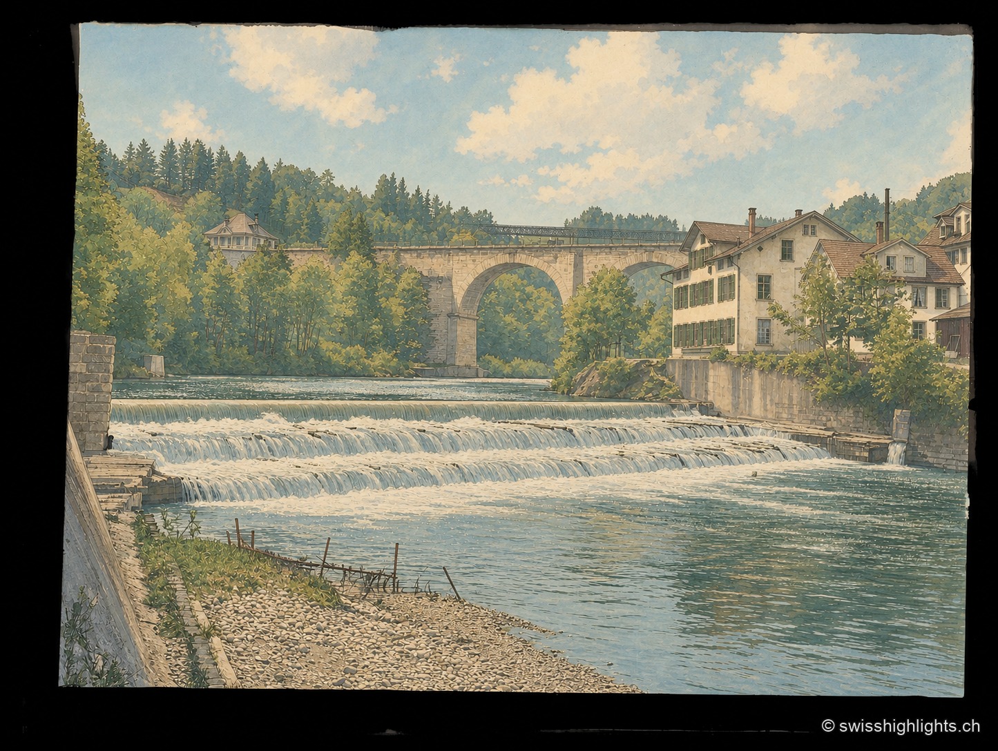
Heritage landscape · St. Gallen
Around Bruggen, at the gates of St. Gallen, an 8.2 km path links eighteen 18th-20th century bridges: timber from 1780, stone from 1811, a 100-metre railway viaduct opened in 1910, through the wooded gorges of the Sitter.
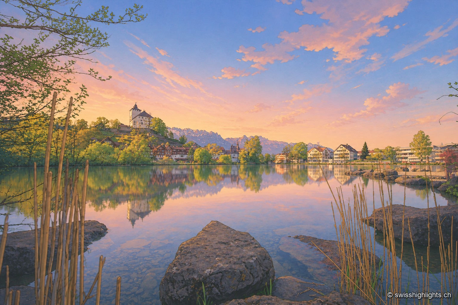
Fortified town · St. Gallen
Market rights here are attested since 1289. The county of Werdenberg changed hands several times before being sold to Glarus in 1517; it joined St. Gallen in 1803. The castle has hosted a festival since 1985.
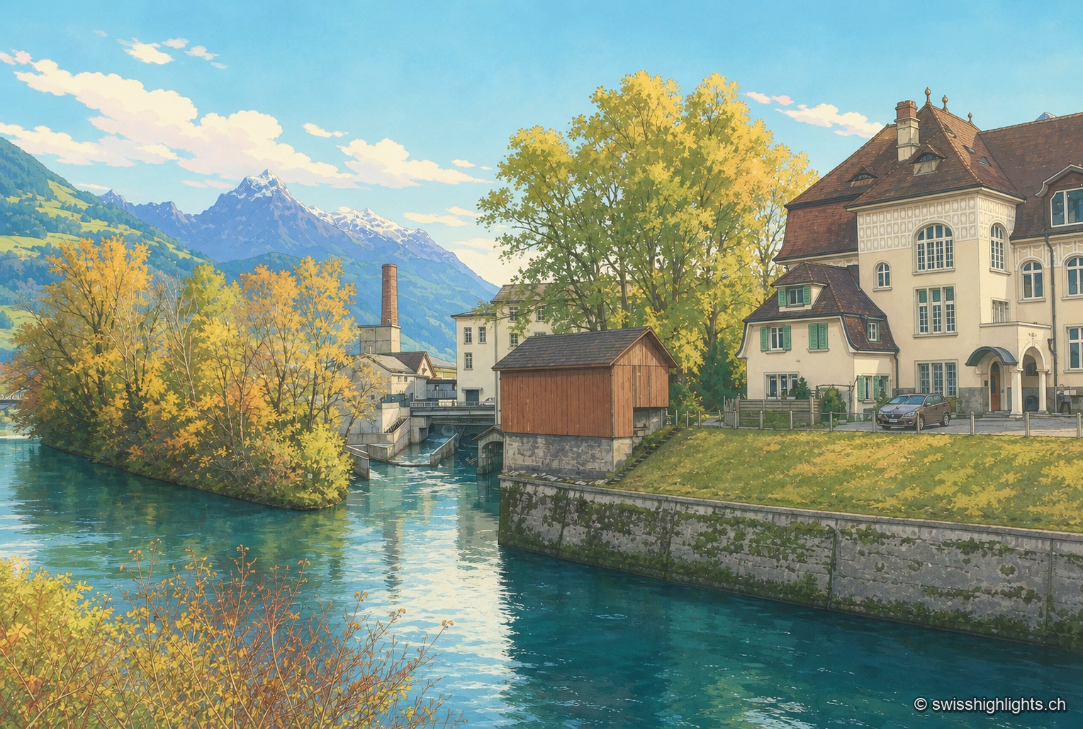
Village split by a canal · Glarus/SG
The Linth Canal splits Ziegelbrücke in two: station and railway junction on the St. Gallen side, the Fritz & Caspar Jenny mill (1833), listed in the ISOS inventory, on the Glarus side.