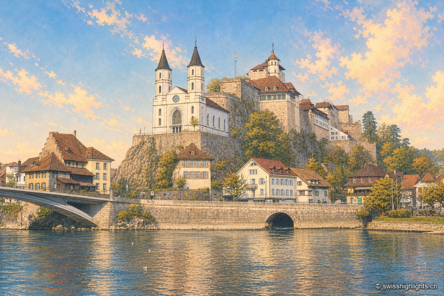
Aarburg seen from the bank of the Aare: the white Reformed church with two black spires stands on its rocky spur, the fortress and its long buildings occupy the ridge above, and the town's houses line the riverbank under a blue winter sky.

Basel and the Rhine

Tourist regions

16 places referenced, across Basel-Stadt, Basel-Landschaft, Aargau, Solothurn.

An editorial grouping by Swiss Highlights, not an official administrative division.

Family suggestions

Couple suggestions

AarburgArlesheimBaselBremgartenBirsfelden power stationBirsfelden power stationEndingenGoetheanumGorges de Sainte-VérèneLaufenRheinfeldenRiehenSankt ChrischonaSolothurnSchinznach BathsZofingen
Interactive map — schematic view of Switzerland.

Places on the map

Aarburg seen from the bank of the Aare: the white Reformed church with two black spires stands on its rocky spur, the fortress and its long buildings occupy the ridge above, and the town's houses line the riverbank under a blue winter sky.

Fortified small town · Aargau

Aarburg

Bern took the town on 20 April 1415 and turned the castle into a fortress. It still holds the spur commanding the valley, above an old town rebuilt after the fire of 4 May 1840.
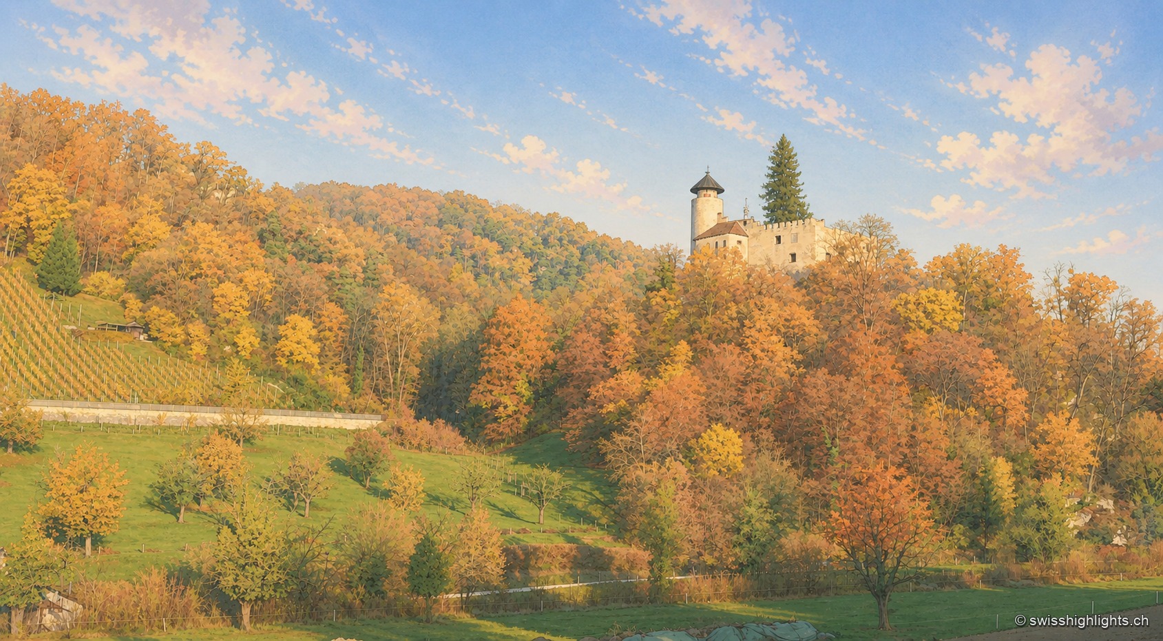
Ermitage pond in Arlesheim in autumn: a white wooden footbridge extends over the water covered with water lilies, in front of a wooded slope with yellow, orange and red foliage.

Village and garden · Basel-Land

Arlesheim

The collegiate church and the canons' houses, built from 1679, close a square laid out in one design. Beyond the village, the Ermitage spreads its grottoes, ponds and paths over some forty hectares.
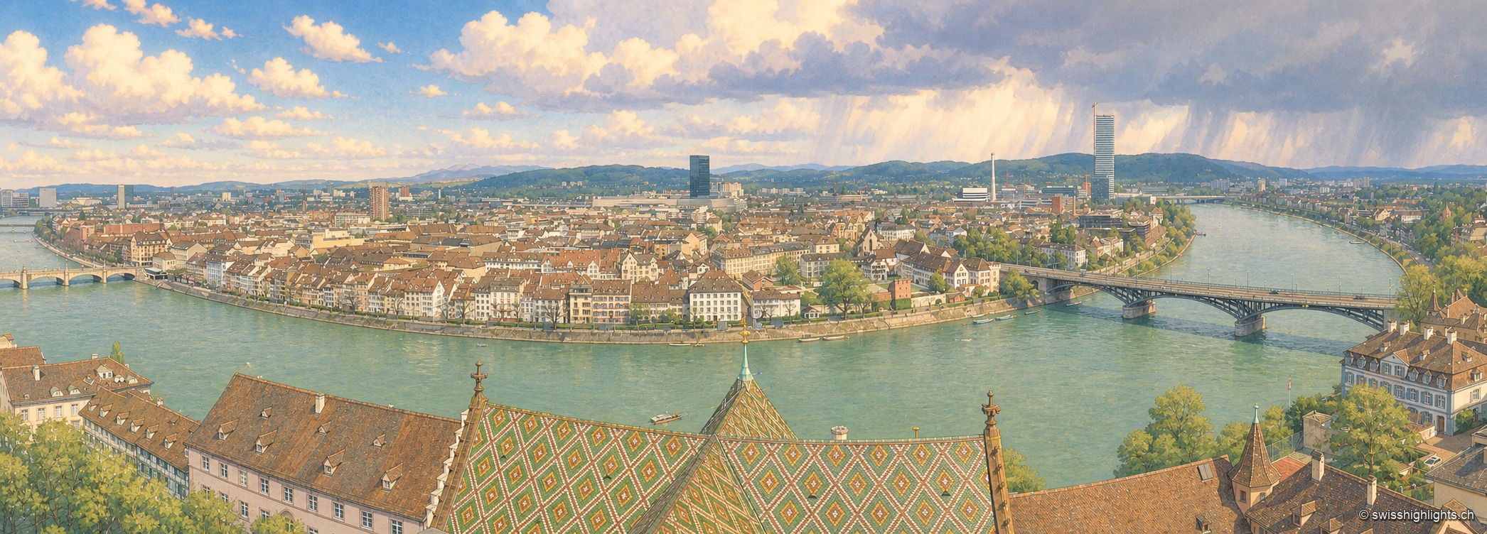
The Rhine seen from a bridge on a clear day: on the left bank, the red sandstone cathedral raises its two spires and glazed-tile roof above a quay wall and a line of trees; the pale façades of the old town then line the water up to the arches of a bridge closing the perspective; in the foreground on the right, a few white boats are moored along the bank, under a cloudless blue sky.

Rhine city · Basel-Stadt

Basel

The Rhine bends here before leaving Switzerland; the city spans it and touches France and Germany. A university founded in 1460, some forty museums in the canton, a carnival on UNESCO's intangible heritage list.
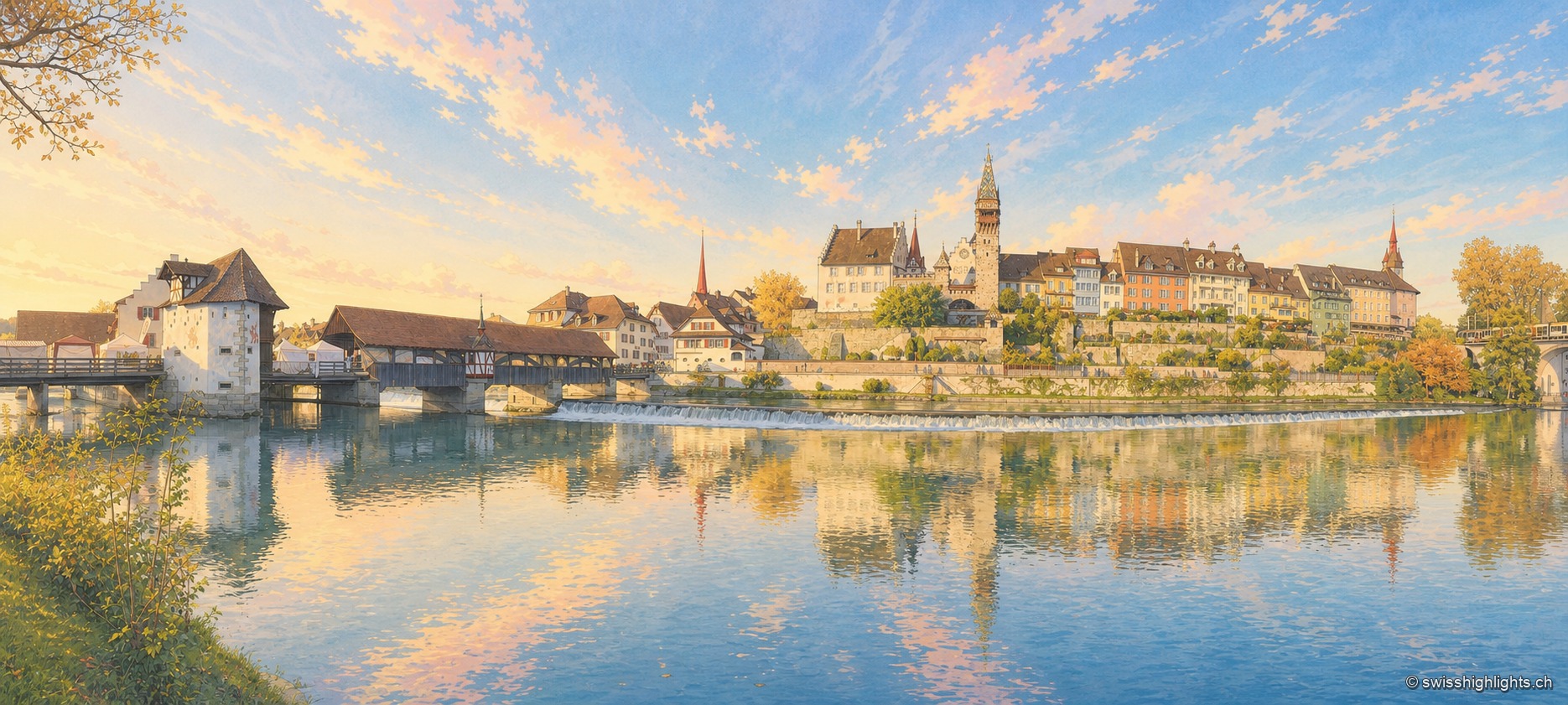
Panorama of Bremgarten from the opposite bank of the Reuss, at the end of an autumn day: on the left, a covered wooden bridge with a long tiled roof crosses the river from a white gate tower; a foaming weir crosses the current along its full width; above the embankment wall, the town's houses line up in ochre, yellow and white facades, dominated by a tall clock tower with a red roof and two church spires. The river, smooth and dark, reflects the whole town in the lower half of the image.

Small town · Aargau

Bremgarten

The old town sits in a bend of the Reuss, still crossed by a covered wooden bridge. Four great markets set the year: those of Easter and Whitsun are over 750 years old, and the Christmas market, begun in 1995, lines up more than 300 stalls.
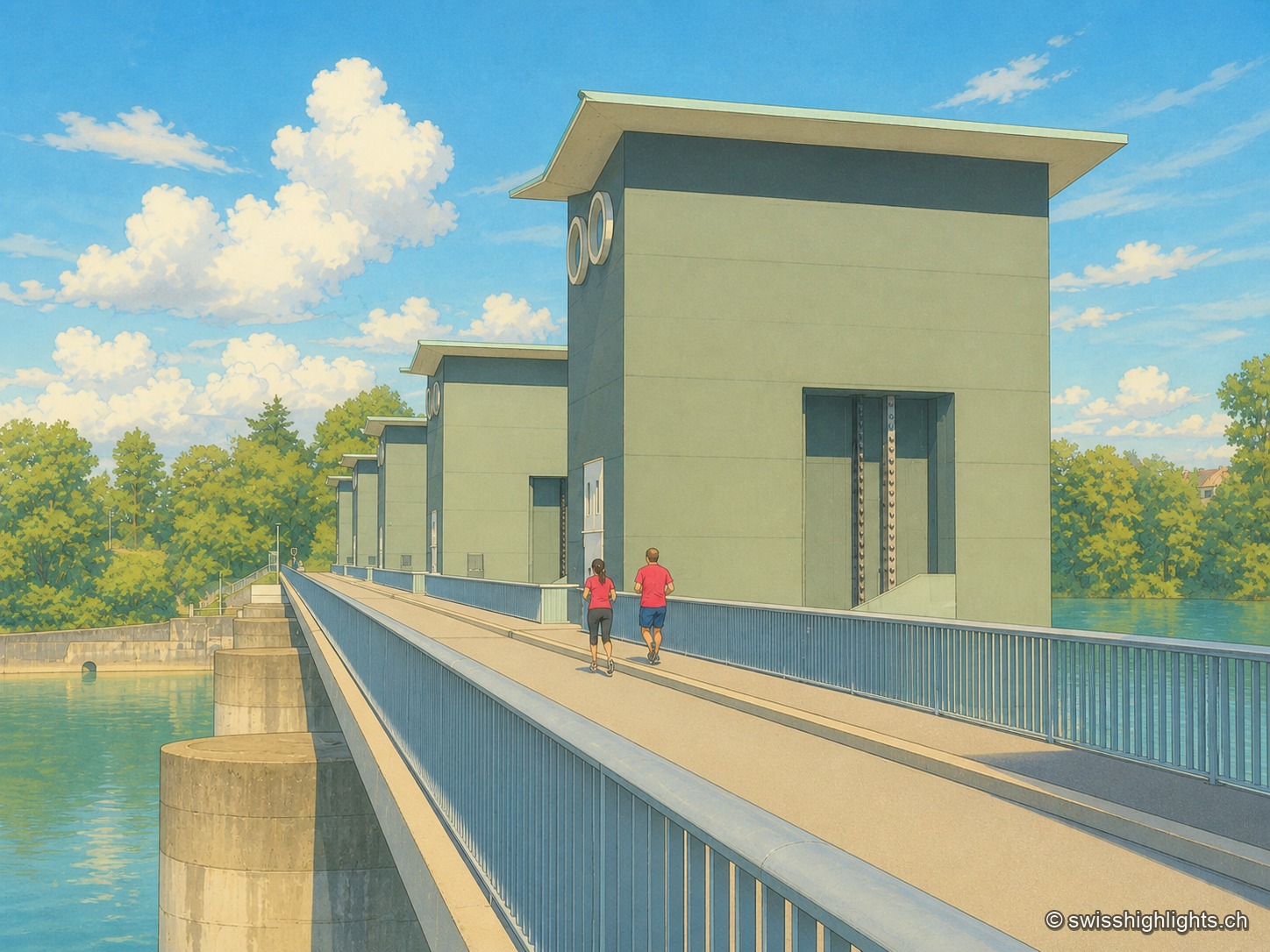
From downstream, in the warm light of late day: the machine hall stretches above the Rhine under a sawtooth roof, its glazed facade punctuated by V-shaped mullions; on the left, two dam piers carry dark green cabins pierced by two round openings, and the walkway on the dam reveals a few figures. The nearly still green water of the river casts its reflection.

Run-of-river plant · Rhine

Birsfelden power station

Four Kaplan turbines under a 12-metre head, two locks for the barges, and over the whole thing a path open to walkers and cyclists. Between 2006 and 2015 the plant produced an average of 570 GWh a year.
From downstream, in the warm light of late day: the machine hall stretches above the Rhine under a sawtooth roof, its glazed facade punctuated by V-shaped mullions; on the left, two dam piers carry dark green cabins pierced by two round openings, and the walkway on the dam reveals a few figures. The nearly still green water of the river casts its reflection.

Run-of-river plant · Rhine

Birsfelden power station

Four Kaplan turbines under a 12-metre head, two locks for the barges, and over the whole thing a path open to walkers and cyclists. Between 2006 and 2015 the plant produced an average of 570 GWh a year.

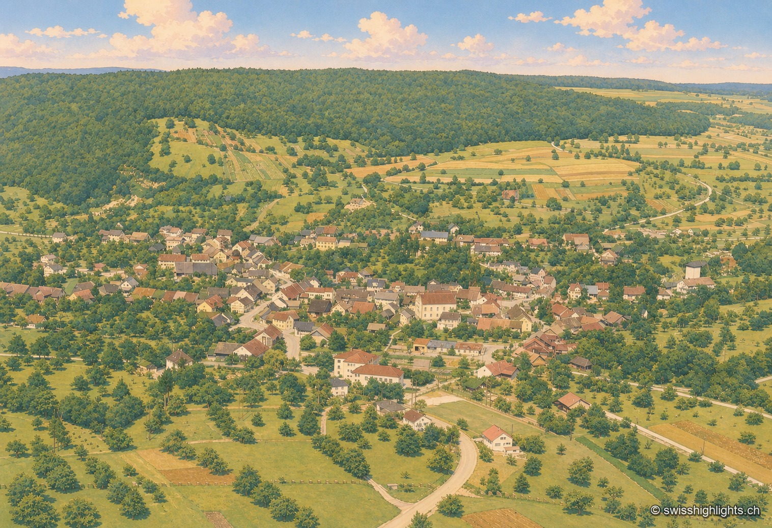
Black-and-white aerial photograph of the village of Endingen, nestled in the hollow of a wooded valley. The rooftops of the old town cluster around a central axis, surrounded by rows of orchards and sloping meadows; a forested ridge closes off the horizon in the background, under a clear sky. A corner of an airplane wing appears in the upper left corner of the shot.

Historic Jewish commune · Aargau

Endingen

With no Catholic or Reformed church, the village's only religious building is its synagogue, built in 1764 and rebuilt in 1852 after the 1802 pogrom. Ruth Dreifuss, President of the Confederation in 1999, was born here in 1940.
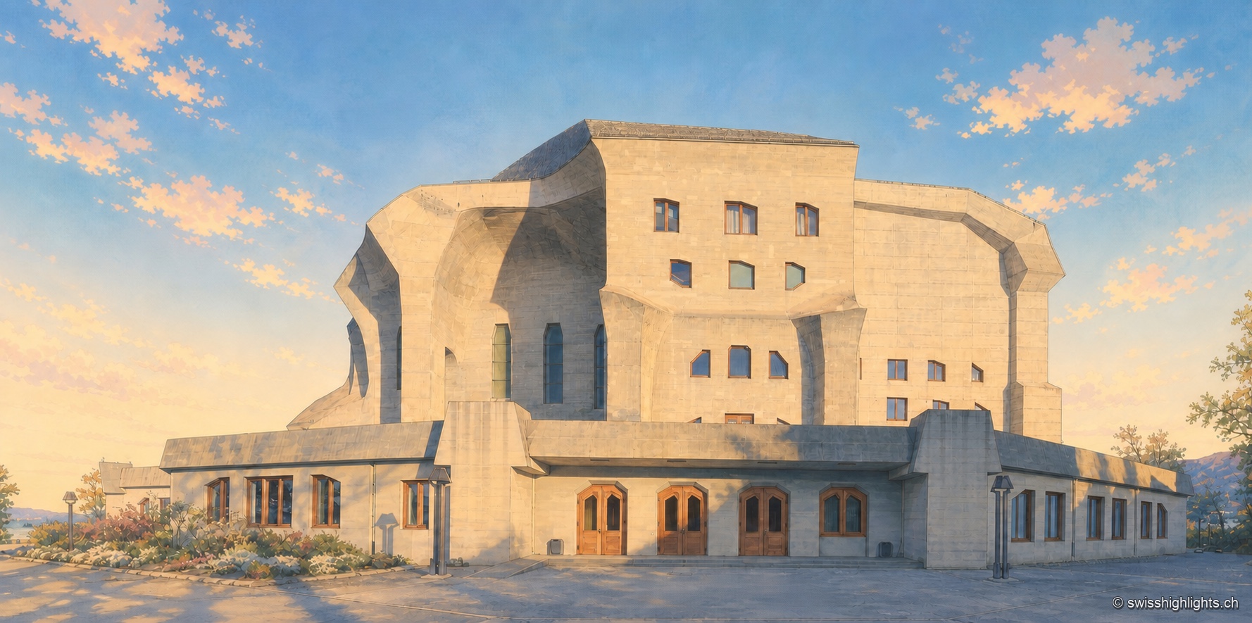
Overview of the Goetheanum at the end of the day: the monumental concrete facade, with its overlapping angular and curved volumes, is pierced by tall windows and dark wooden doors aligned on the ground floor; a few shrubs line the entrance, under a blue sky streaked with pink and golden clouds.

Monument · Dornach, Solothurn

Goetheanum

The first building, in wood, burned down on New Year's night 1923. The second, raised from 1925 to 1928, was the first monumental building in reinforced concrete; its great hall was not inaugurated until 1998.
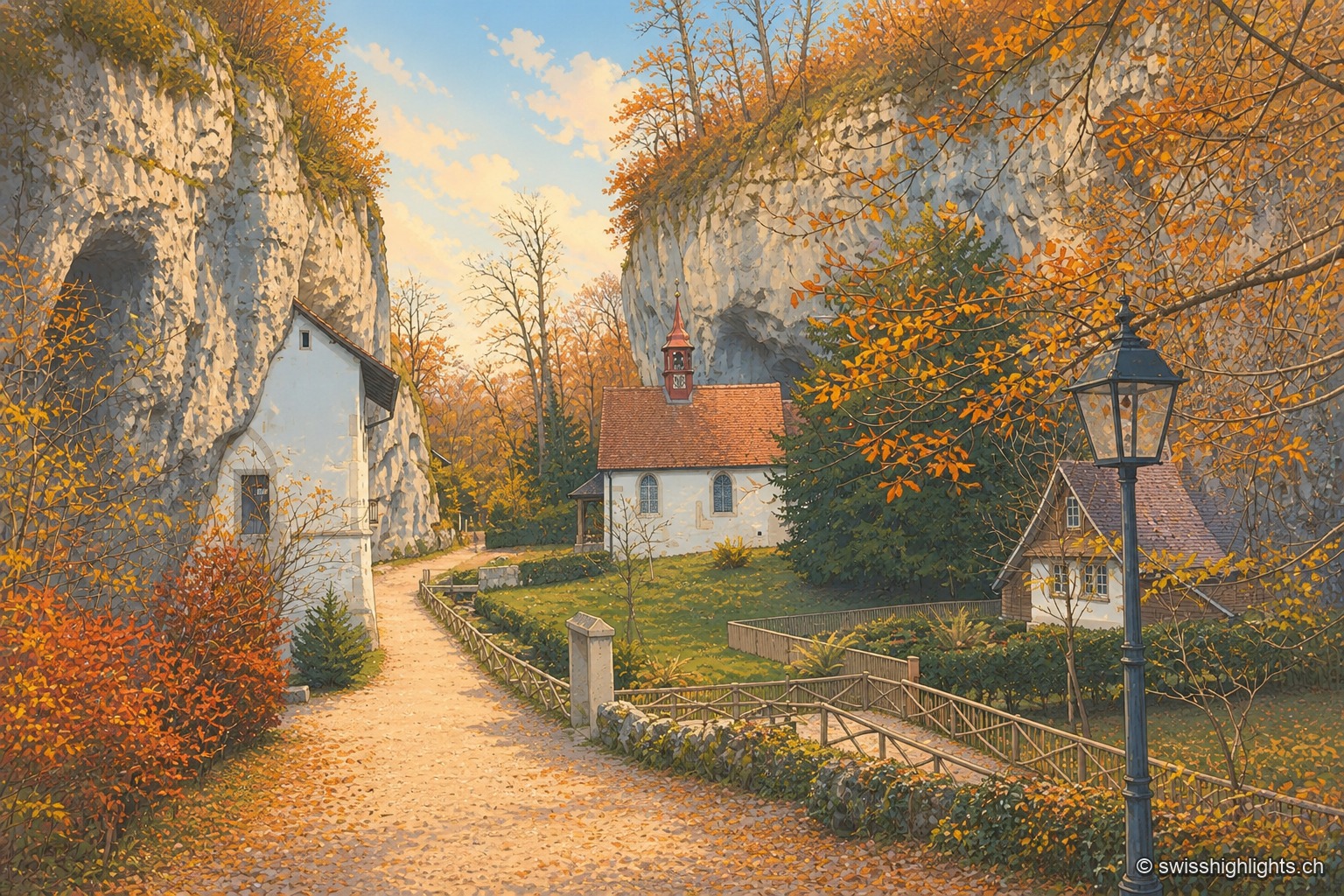
The autumn path leading to the hermitage of Saint Verena winds between two limestone walls pierced with small caves, beneath a canopy of russet and golden foliage; in the background, the white chapel with its red bell turret nestles against the rock, surrounded by a fenced garden and an old-fashioned street lamp.

Gorge hermitage · Solothurn

Gorges de Sainte-Vérène

Landscaped as a Romantic garden in the late 18th century by the French diplomat Louis Auguste Le Tonnelier de Breteuil, the gorge is ISOS-listed, and its hermitage is a class A Swiss cultural property.
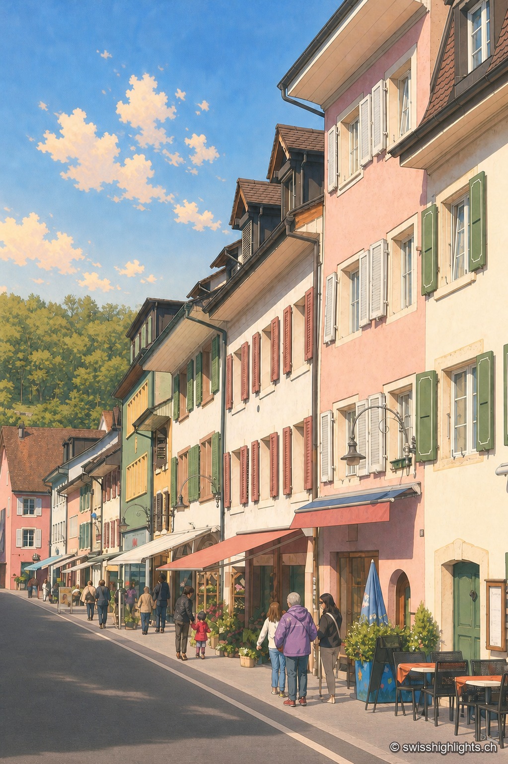
Asphalt-paved street of the town of Laufen in vertical perspective, lined with pastel-toned façades — pink, almond green, ochre — with shutters and signs; a few passers-by and café tables enliven the sidewalk under a blue sky with scattered clouds.

Town on the Birs · Basel-Landschaft

Laufen

After refusing in 1974 to join the canton of Jura, Laufen opted in 1994 for Basel-Landschaft; its main street, closed by two gates, is lined by the church of Sainte-Catherine, built from 1698.
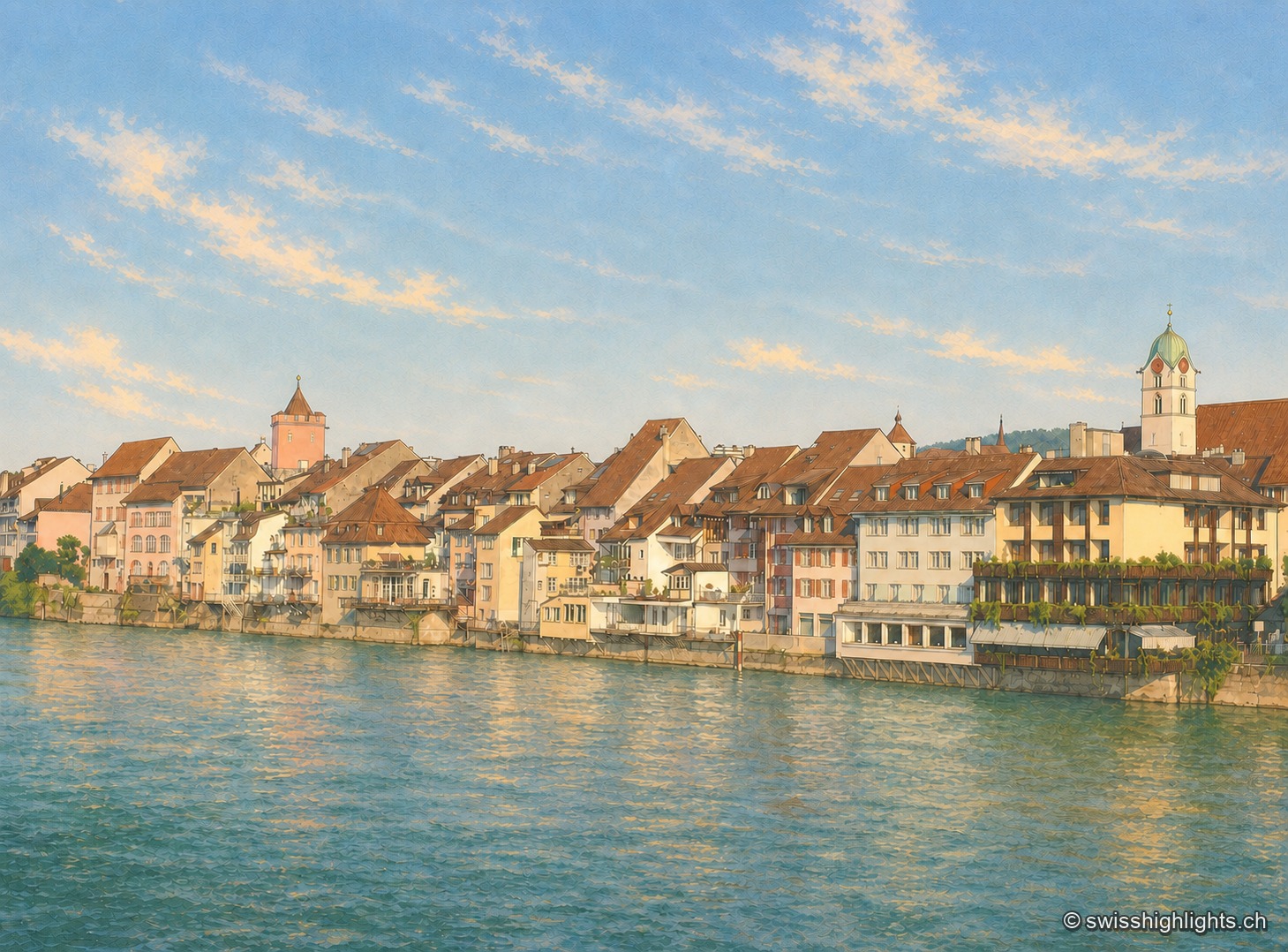
The old town of Rheinfelden seen from the opposite bank of the Rhine at the end of the day: an unbroken row of brown-tiled-roof houses runs down to the water's edge, a square tower with a pointed roof and pinkish render stands out on the left, and the white steeple with its green dome dominates the row of houses on the right. The grey-green Rhine fills the entire lower half of the image beneath a pale blue sky.

Town on the Rhine · Aargau

Rheinfelden

Two battles carried its name, in 1638 and 1678, and the French dismantled it in 1744. At the close of every year a brotherhood born of a vow made in 1541 sings before the town's fountains.
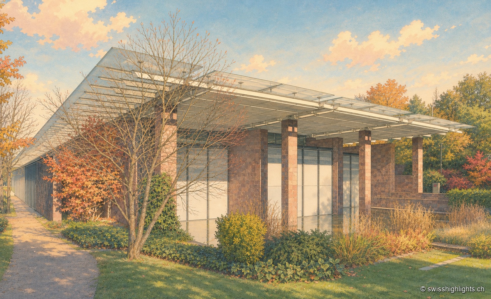
The Fondation Beyeler in Riehen: a long pavilion with reddish stone pillars, topped by a suspended glass roof, extends behind a garden of trees in autumn colours.

Border commune · Basel-Stadt

Riehen

22,534 inhabitants on 10.86 km², a quarter woodland and a quarter farmland, a German border curling around it to the north: Riehen is as much a large village as a suburb of Basel.
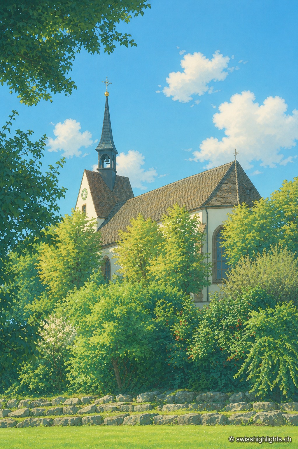
The Sankt Chrischona church seen through the foliage: its slender spire topped with a cross and its tile-roofed nave rise from a setting of lush green trees, under a blue sky dotted with clouds.

Religious site · Basel-Stadt

Sankt Chrischona

On the Dinkelberg, at 522 metres, the highest church in canton Basel-Stadt stands over a walled cemetery and mission buildings founded in 1840; its tower platform, up 71 steps, opens a panorama over the Vosges, the Black Forest, the Jura and the Alps.
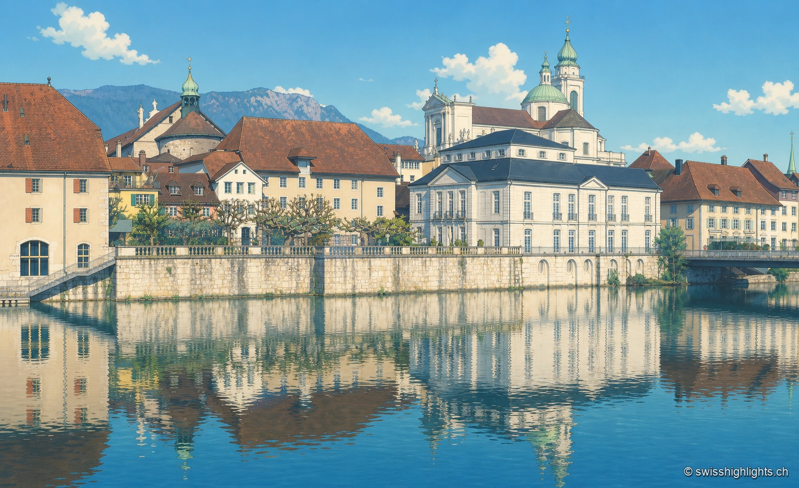
The old town of Solothurn is reflected in the Aare, dominated by the pale towers of St. Ursus Cathedral, under a clear blue sky.

City of ambassadors

Solothurn

Founded by Rome as Salodurum, admitted to the Confederation in 1481, Solothurn keeps towers and gates from the 15th-16th centuries around its baroque cathedral and its town hall, completed in 1711. 16,847 inhabitants at the end of 2024.
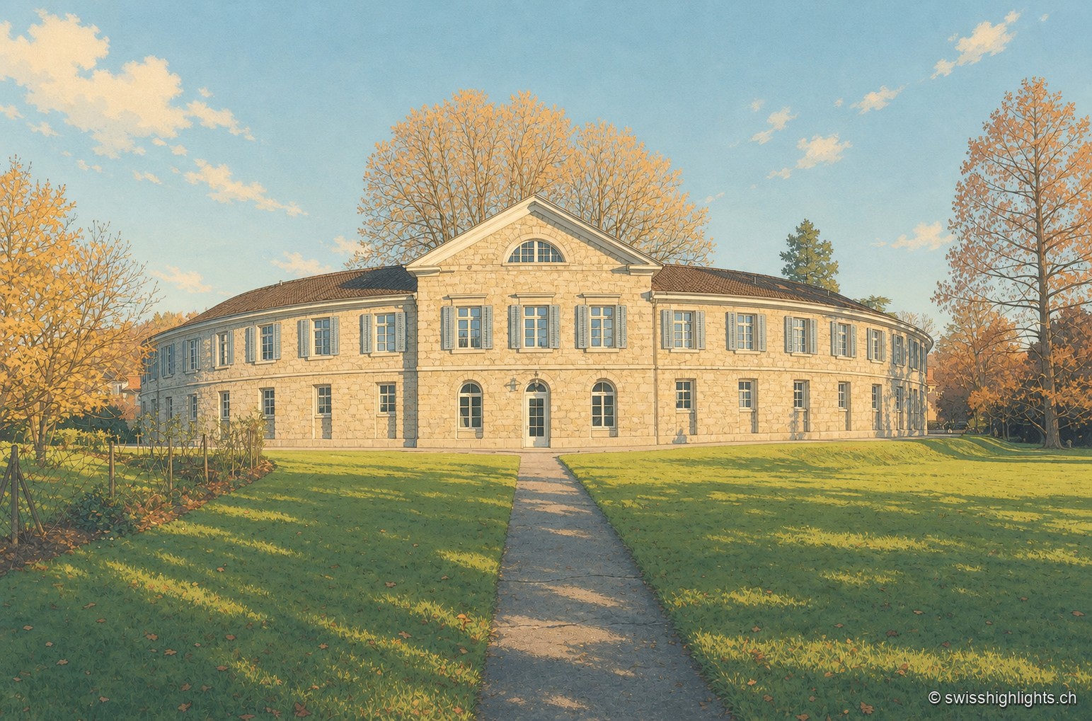
The elongated classical façade of the Schinznach spa, with blue-grey shutters and a hipped roof, stands amid lawn and trees clad in autumn colours, at the end of a drive leading to the entrance.

Thermal baths · Aargau

Schinznach Baths

A sulphur spring buried by a flood in 1670 and found again in 1691 on the other bank: from it came a cure establishment, a park and a chapel — and, in 1761, the first meetings of the Helvetic Society.
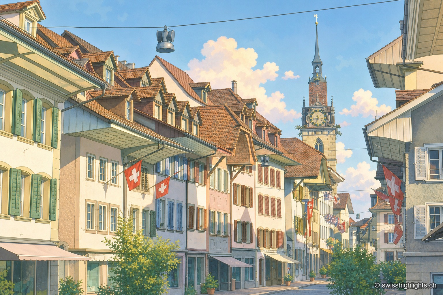
A cobbled street in the old town of Zofingen is lined with colourful gabled facades and shops; Swiss flags hang from the windows, and in the distance stands the clock tower of the church, under a blue sky with white clouds.

Medieval small town · Aargau

Zofingen

Founded by the Froburgs at the end of the twelfth century, the town narrowly missed the great railway junction, which formed at Olten instead. Ten of its monuments are cultural property of national significance.