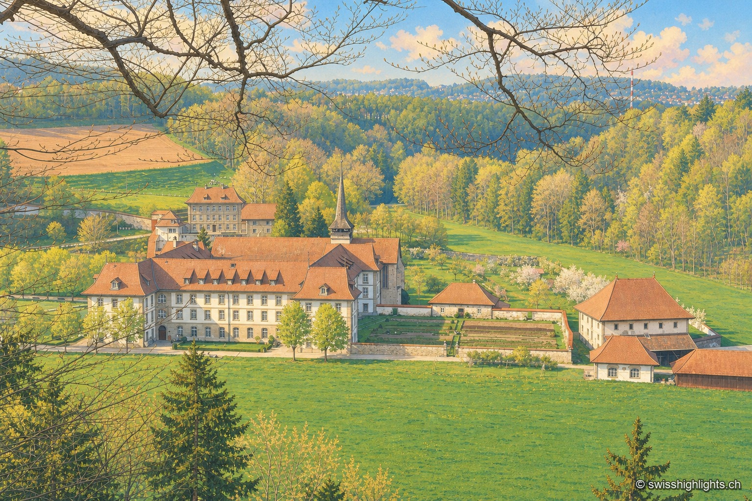
Hauterive Abbey seen from a wooded slope to the south: the long white conventual buildings with brown roofs and the church spire occupy the far end of a spring meadow valley, surrounded by forest, with the abbey's gardens and farm on the right.

Jura and Three-Lakes

Tourist regions

19 places referenced, across Jura, Neuchâtel, Fribourg.

An editorial grouping by Swiss Highlights, not an official administrative division.

Hauterive AbbeyAuvernierCreux du VanÉtang de la GruèreGrande CariçaieGrande CariçaieGrandvillardGrottes de RéclèreGruyèresLa Chaux-de-FondsLe LanderonLessocLöwenburgPleujousePorrentruyPrazSaint-UrsanneSaut du DoubsValangin
Interactive map — schematic view of Switzerland.

Places on the map

Hauterive Abbey seen from a wooded slope to the south: the long white conventual buildings with brown roofs and the church spire occupy the far end of a spring meadow valley, surrounded by forest, with the abbey's gardens and farm on the right.

Cistercian abbey · Fribourg

Hauterive Abbey

Consecrated on 25 February 1138, suppressed in 1848, repopulated in 1939. Its towerless church, built between 1150 and 1160, has just come through a 2021-2025 restoration and reopened on 4 September 2025.
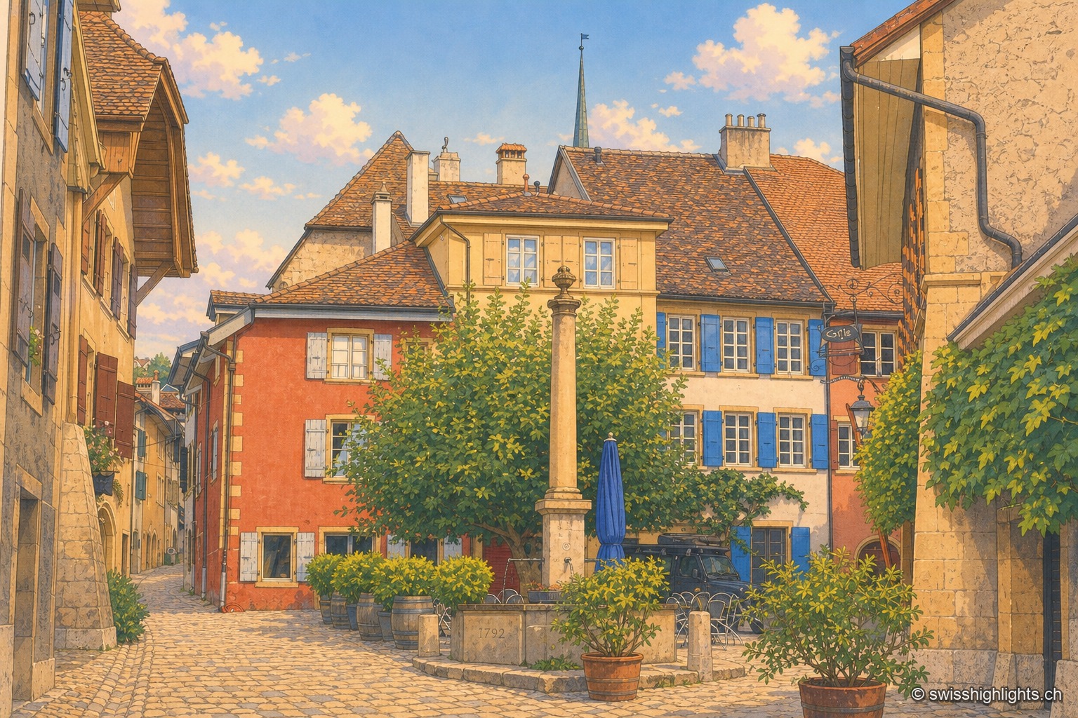
The paved square of Auvernier under a stormy sky: in the centre, a stone-column fountain with its long basin; on the left, ochre-red and yellow façades with blue shutters along a lane sloping downward; on the right, a yellow stone wall bearing the large painted letters "Coste — vins en gros"; behind the tiled roofs, a slate spire and dark clouds.

Wine village · Neuchâtel

Auvernier

First recorded in 1011, Auvernier lived on fishing and on the vine. Its castle of 1559 keeps its vaulted cellars, the canton set up its school of viticulture here in 1888, and the law has protected the vineyard plots since 1974.
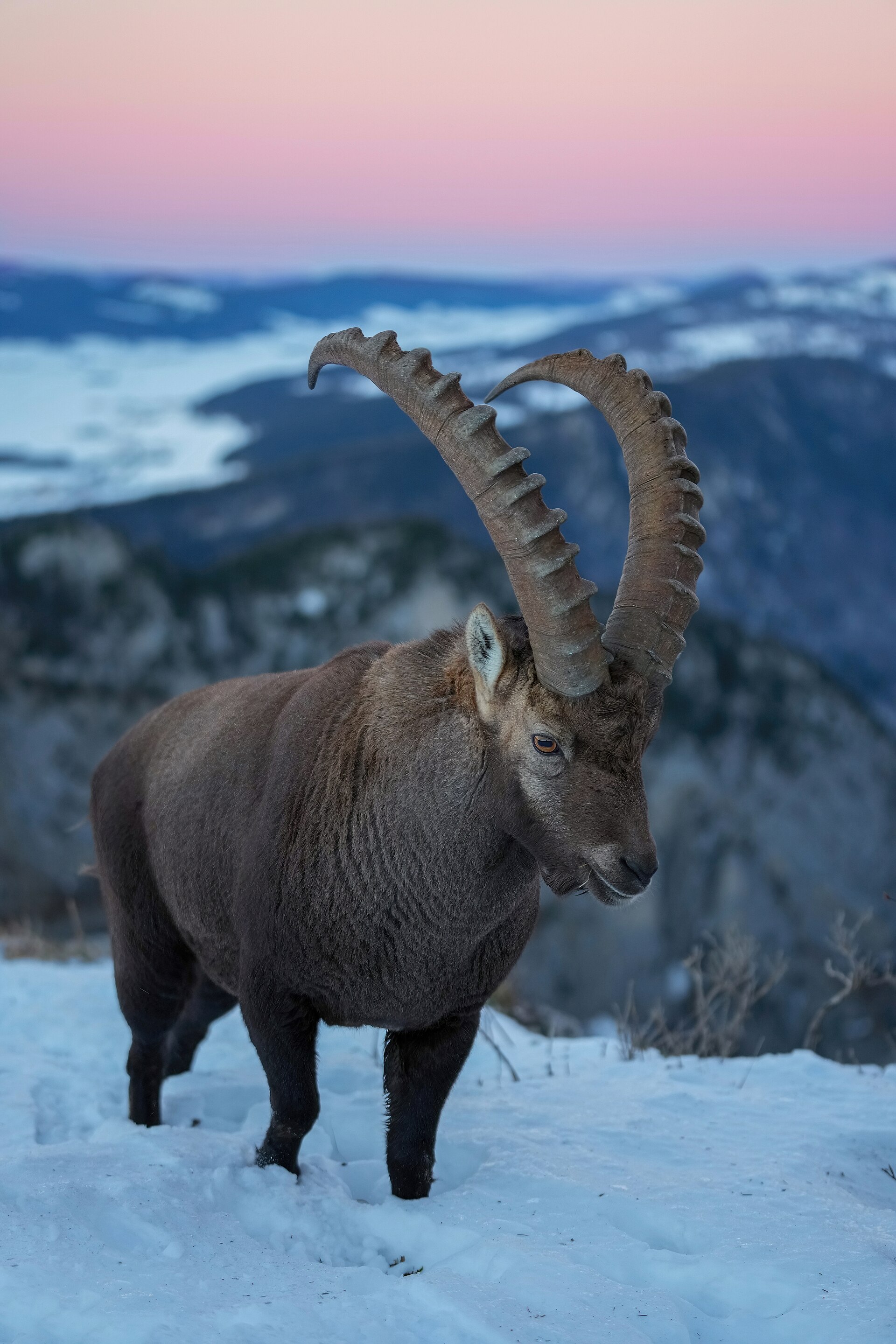
A male Alpine ibex, with long ringed horns, stands on a snowy slope at the Creux du Van; behind it rise wooded Jura ridges under a pink end-of-day sky.

Rock cirque · Neuchâtel

Creux du Van

A limestone wall closes an arc 1,000 to 1,400 metres across. Ibex, chamois and lynx live in the 15.5 km² reserve around the cirque, crowned by Le Soliat at 1,464 metres.
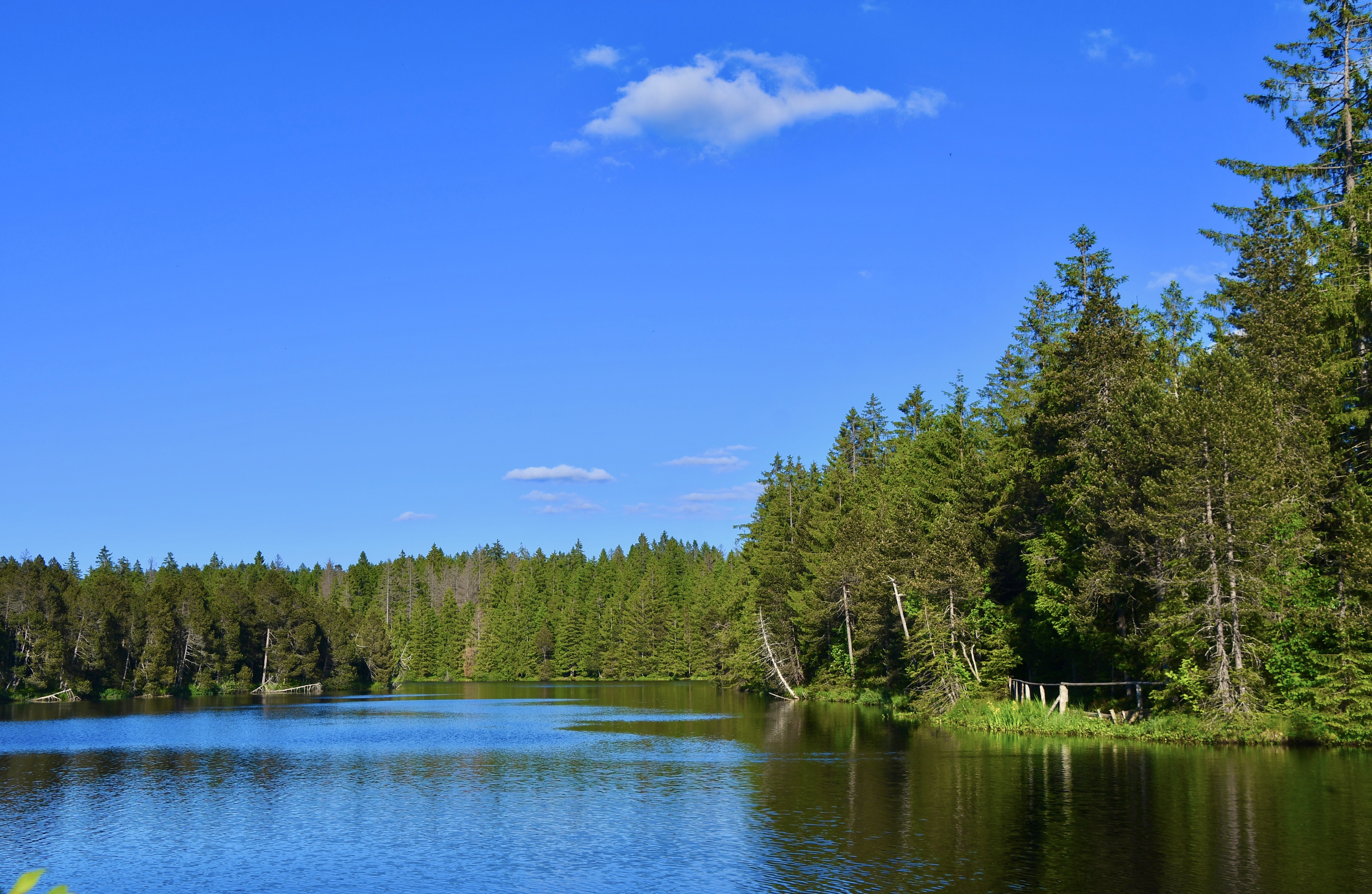
The Étang de la Gruère on a calm day: the spruce forest and a sky streaked with clouds are mirrored perfectly in the water, with rushes and a clump of reeds in the foreground on the right.

Protected raised bog · Jura

Étang de la Gruère

At 998 metres, in the municipality of Saignelégier, a body of water five hundred metres long bordered by a 56-hectare peat bog, where peat has built up to nine metres thick over twelve thousand years.
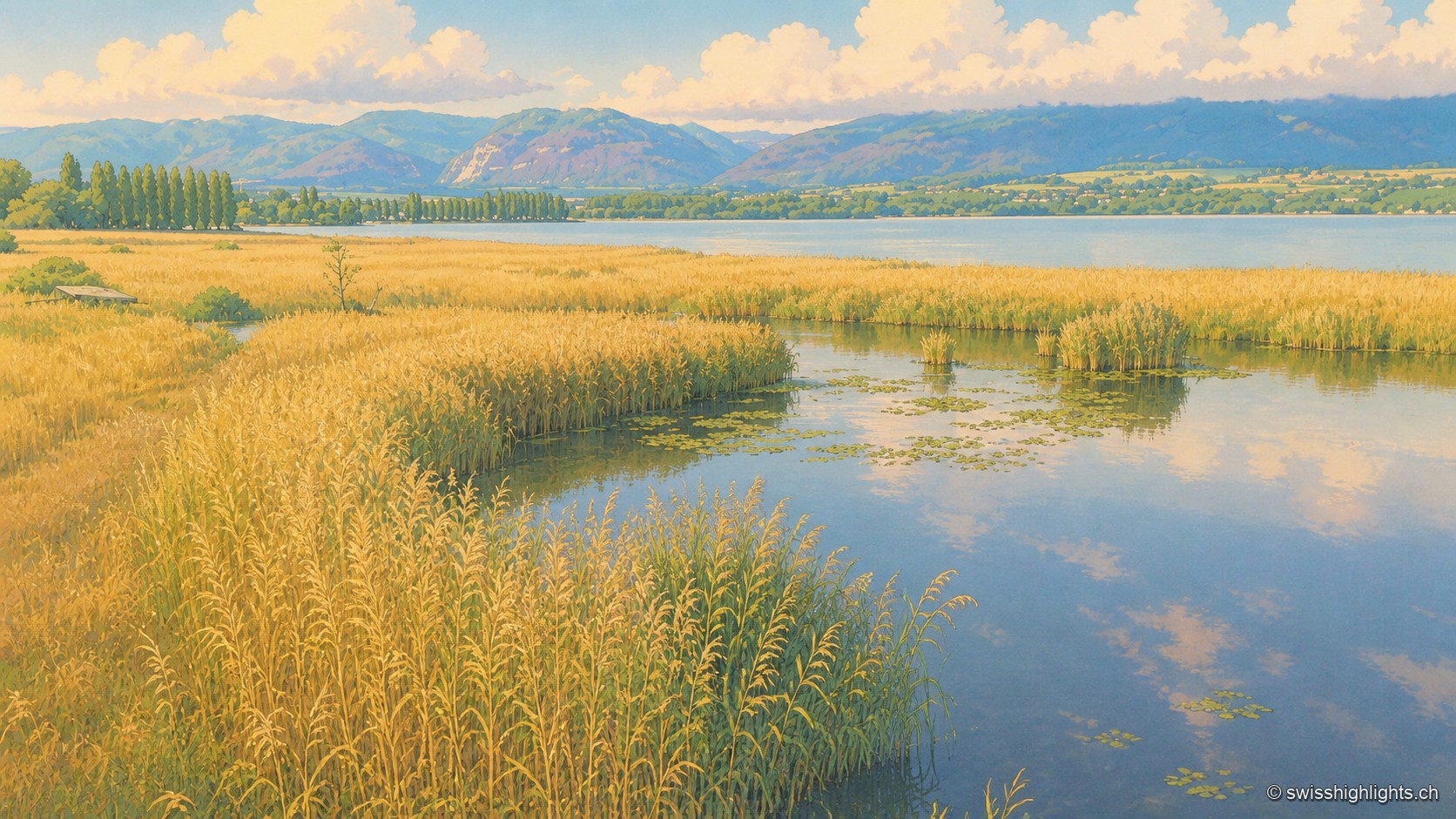
A vast golden reed bed of the Grande Cariçaie crossed by a calm water channel dotted with water lilies, which joins Lake Neuchâtel lined with a row of poplars; on the horizon, the hills of the Jura rise in tiers under a summer sky heavy with cumulus clouds.

Lakeshore marsh · Lake Neuchâtel

Grande Cariçaie

Eight intercantonal nature reserves cover about 3,000 hectares of reedbed, marsh and flooded forest. The landscape only exists because the Jura water correction lowered the lake by 2.7 metres between 1868 and 1891.
A vast golden reed bed of the Grande Cariçaie crossed by a calm water channel dotted with water lilies, which joins Lake Neuchâtel lined with a row of poplars; on the horizon, the hills of the Jura rise in tiers under a summer sky heavy with cumulus clouds.

Lakeshore marsh · Lake Neuchâtel

Grande Cariçaie

Eight intercantonal nature reserves cover about 3,000 hectares of reedbed, marsh and flooded forest. The landscape only exists because the Jura water correction lowered the lake by 2.7 metres between 1868 and 1891.

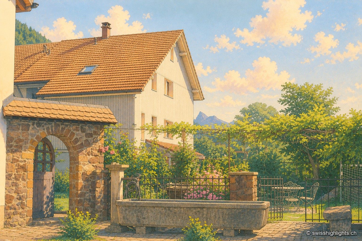
Farmyard in Grandvillard: a round-arched stone porch under a tiled lean-to roof, a climbing rose on a wooden pergola, and an old stone trough in front of a wrought-iron gate; in the background, the white, tile-roofed facade of the house and a peak of the Fribourg Prealps stand out under a summer sky.

Listed village · Gruyère

Grandvillard

Freed from mainmorte in 1388, the commune obtained its charter of liberties in 1439. The present church was consecrated in 1603, the bridge over the Sarine built in 1641. Since 2019, among the Most Beautiful Villages of Switzerland.
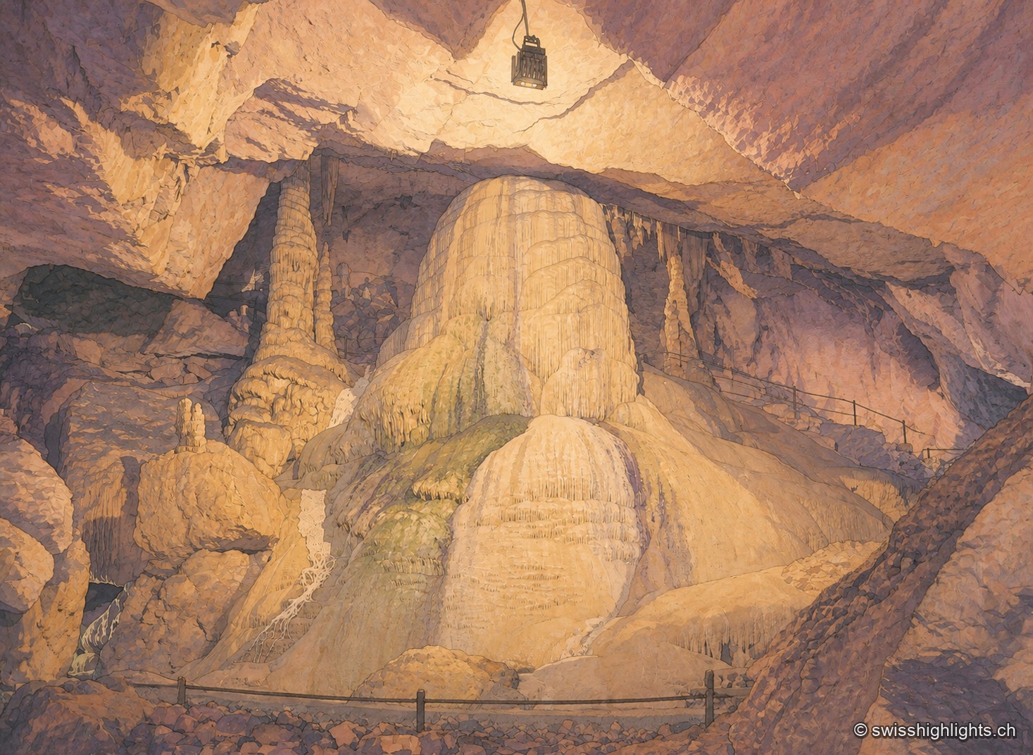
In a vast underground chamber, an imposing calcite formation in ochre and mauve tones rises from the floor to touch the vault, under artificial lighting that alternates warm tones and bluish reflections; a safety railing lines the passage in the foreground.

Show cave · Jura

Grottes de Réclère

A pit that farmers called the 'Trou du Fahy' and used as a dump, revealed by the regional press in 1889: the Grottes de Réclère formed by collapse in a Jurassic limestone about 155 million years old.
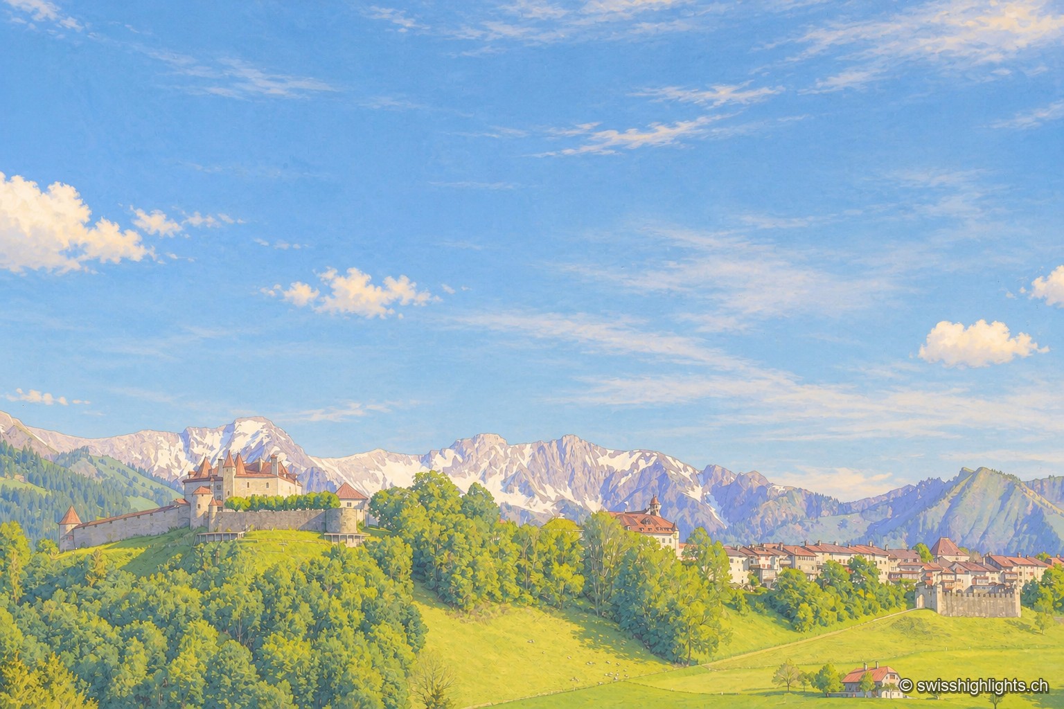
View of Gruyères and its castle perched on a green hill surrounded by ramparts, with the snow-capped peaks of the Fribourg Prealps standing out on the horizon under a blue sky streaked with clouds.

Medieval small town · Fribourg

Gruyères

2,339 inhabitants, a castle shaped by eight centuries of building, a museum of Tibetan art and another devoted to H. R. Giger: Gruyères sits on a rocky spur, its territory ranging between 693 and 2,002 metres.
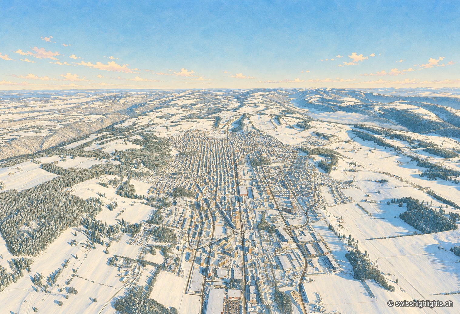
Winter aerial view of La Chaux-de-Fonds: under a deep blue sky, the town stretches its long parallel streets along the bottom of a snow-covered valley, the white roofs forming a regular grid between the pastures and fir forests of the Jura, the horizon closed off in the distance by a sea of fog.

Watchmaking town · Neuchâtel

La Chaux-de-Fonds

At close to 1,000 metres, in a valley with no surface water, the streets cross at right angles. The 2009 listing honours no monument but a plan: that of a town where workshop and dwelling shared the same building.
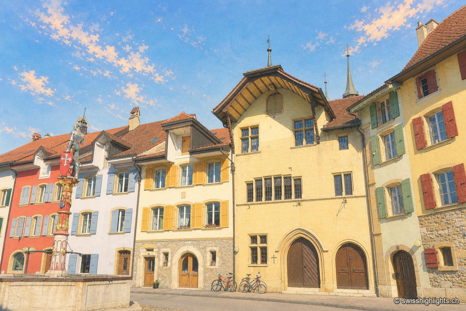
Cobbled street of the town of Le Landeron under a deep blue sky: on the left a red and white heraldic fountain set against a white façade, then a row of pastel-toned houses — yellow, ochre, almond green — up to the Town Hall with its overhanging gable and gothic arched doors, against which several bicycles are leaning.

Fortified town · Neuchâtel

Le Landeron

Catholic while the whole county of Neuchâtel turned Protestant between 1530 and 1562, Le Landeron owed its confessional enclave and its fortified town to the backing of its allies from Solothurn, bound by treaty since 1449.
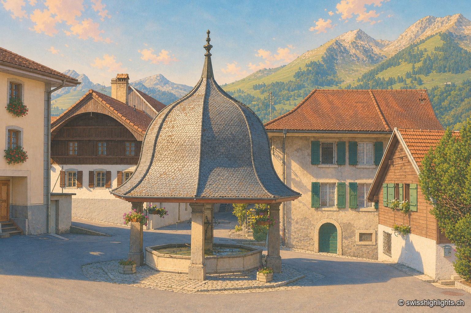
The village fountain of Lessoc, topped by a broad, bell-shaped shingle roof supported by four stone pillars, stands on the paved square in front of houses with green shutters and flower boxes; in the background, the Fribourg Prealps stand out under an evening sky streaked with pink clouds.

Gruyère village · Fribourg

Lessoc

Recorded from 1115, Lessoc broke away from the parish of Grandvillard only in 1643. Its church and its octagonal fountain of 1796 are built of the grey-white limestone veined with green quarried on the spot, the Lessoc 'marble'.
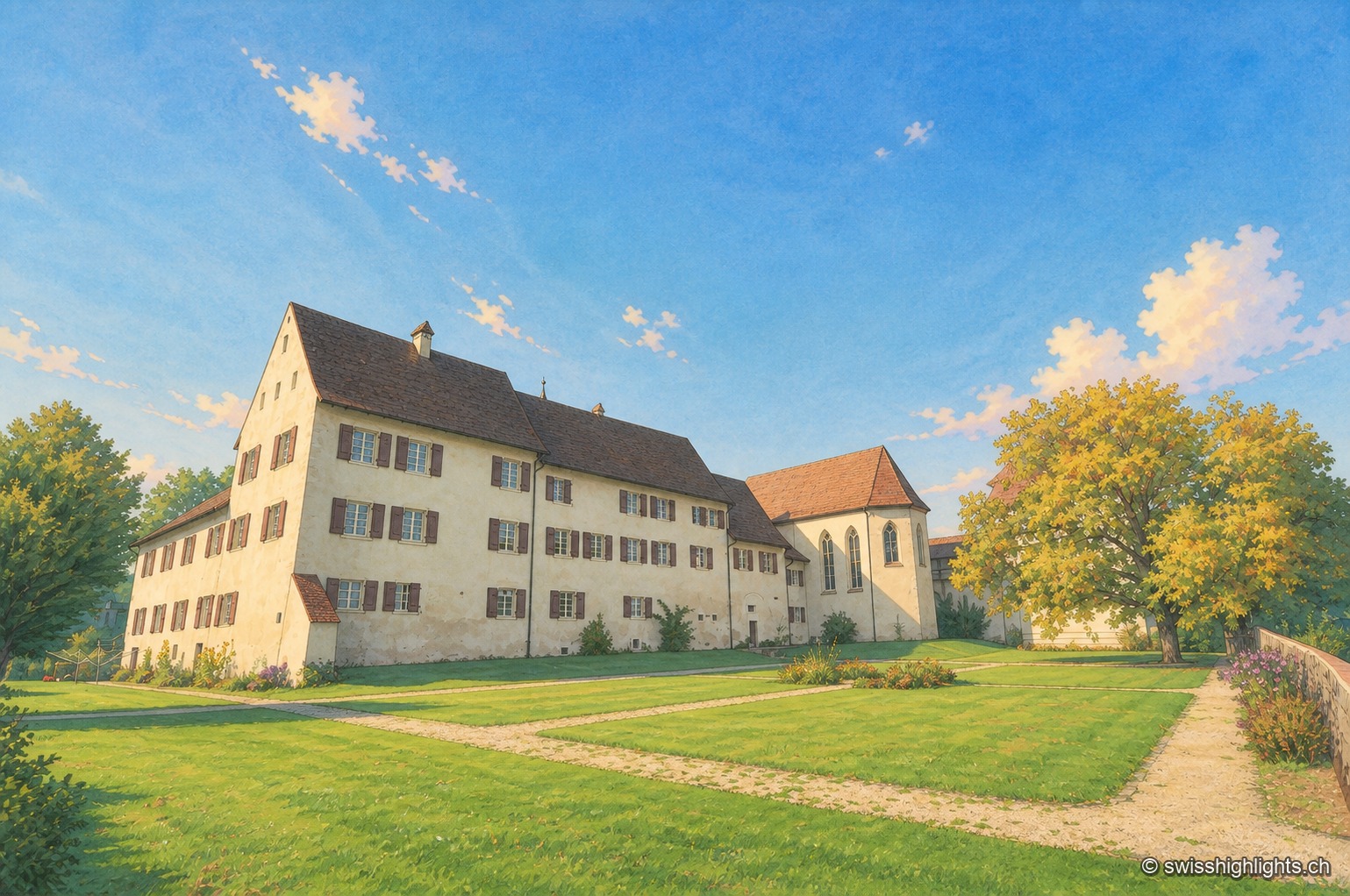
Slightly elevated view of the fortified Löwenburg estate: a long whitewashed building with a brown tiled roof, pierced by rows of shuttered windows, extends toward a chapel with buttresses and a corner turret; a lawn crossed by a gravel path draws the eye toward the ensemble, under a clear blue sky, with a few trees on the right of the frame.

Hamlet and ruin · Jura

Löwenburg

The hamlet of Löwenburg, the only German-speaking part of the commune of Pleigne, combines a castle ruin founded in the 10th century with a 16th-century fortified farm; the Christoph Merian Foundation of Basel has restored it since 1956.
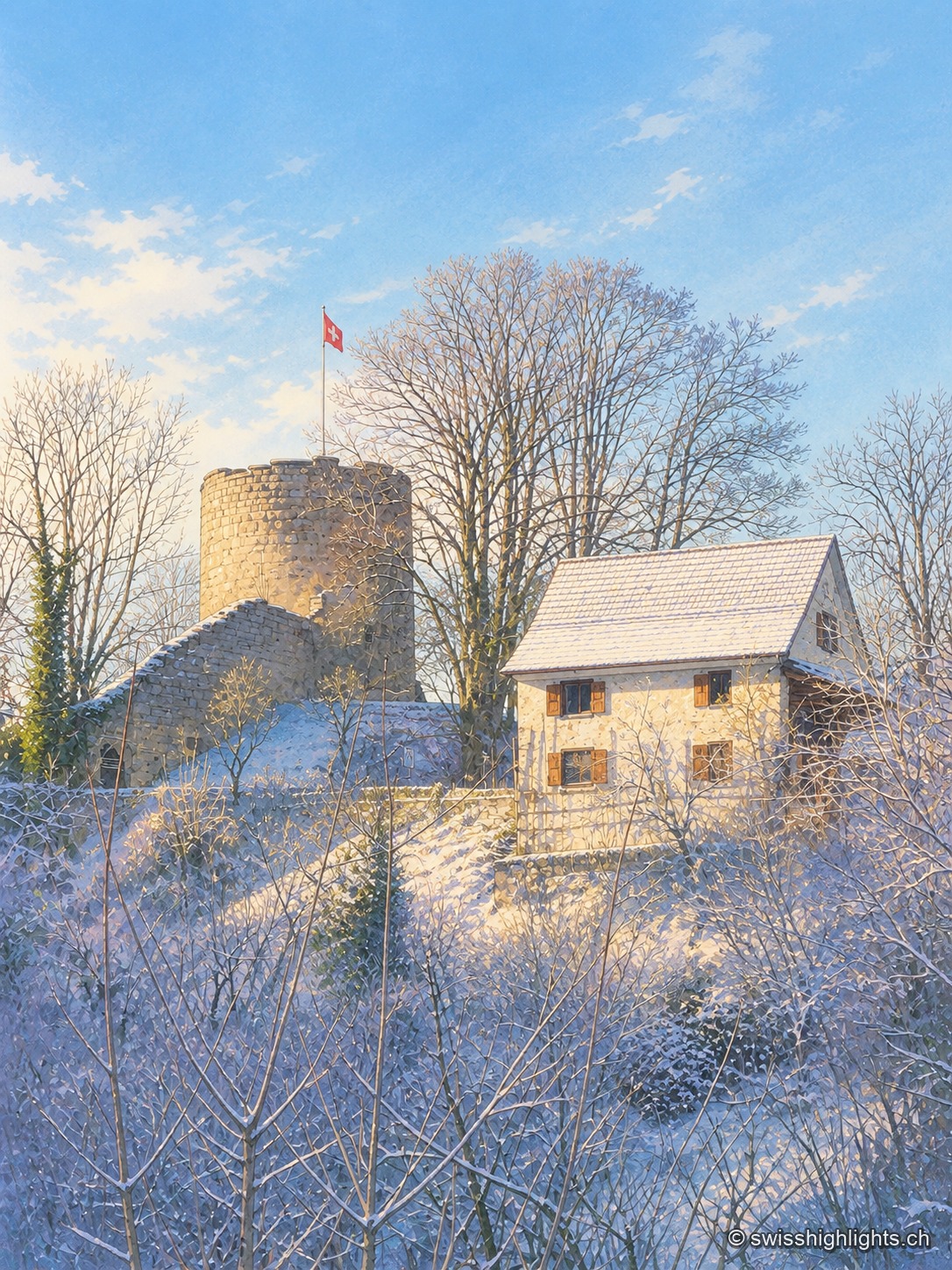
Pleujouse Castle and its round tower rise above a grove of bare, frost-covered trees, with the small adjoining stone house, under a clear blue winter sky.

Castle village · Ajoie

Pleujouse

At 580 metres, between forested heights, Pleujouse amounts to one street. The village formed around its fortress, which passed to the bishopric of Basel at the end of the 14th century and was rebuilt after the fire of 1980.
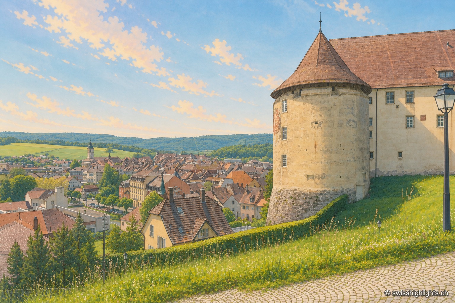
From the castle terrace, the large round tower with a conical roof occupies the right of the frame, against the long whitewashed building; below spread the brown and red roofs of the old town of Porrentruy, the light-colored church steeple, and behind them the wooded hills of the Jura under a pale blue summer sky.

Town · Ajoie, canton of Jura

Porrentruy

Driven from Basel by the Reformation, the prince-bishops settled in Porrentruy after 1528; their supposedly provisional residence lasted until 1828. Castle, Jesuit college, hôtel-Dieu and stone fountains still hold its measure.
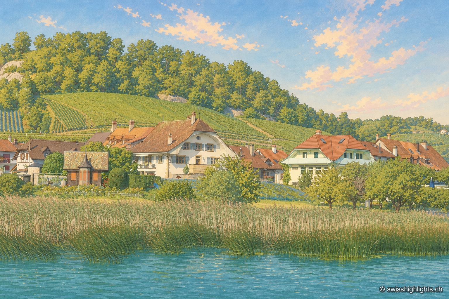
Seen from Lake Murten, the village of Praz lines up its red-tiled roofed houses at the foot of a terraced vineyard hillside; in the foreground, green reeds border calm water under an almost cloudless blue sky.

Winegrowing village of the Vully · Fribourg

Praz

Praz belonged to the lordship of Morat until 1484. Its patrician winegrowers' houses have earned the site a national heritage listing. Since 1981, the Vully grape harvest festival has been held there every year in late September.
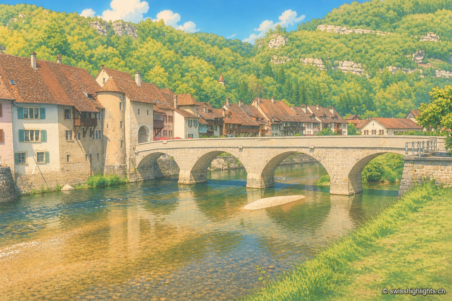
The medieval multi-arched bridge of Saint-Ursanne spans the green waters of the Doubs, in front of the tiled-roof houses and tower of the old town, set against a wooded hillside of the Jura.

Medieval small town · Jura

Saint-Ursanne

Born around a Benedictine abbey, it keeps its Romanesque collegiate church, its cloister and burgher houses from the 14th to the 16th century. At 440 metres, between wooded cliffs and river, it left its isolation only in 1877.
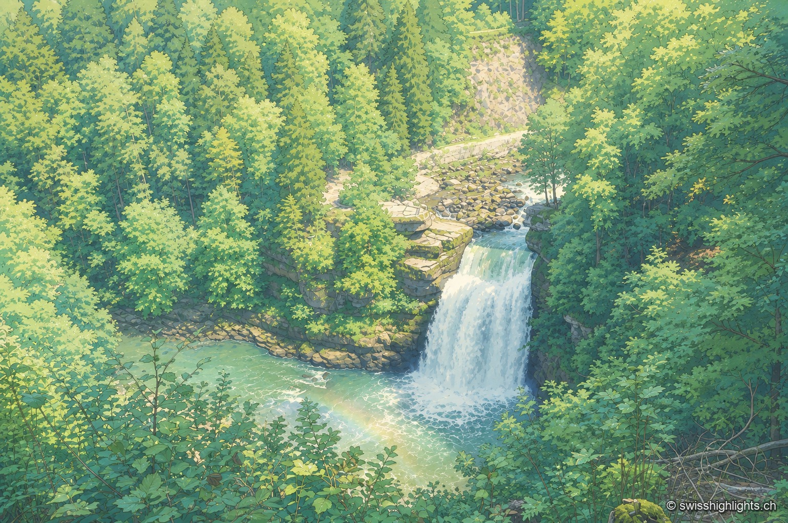
Classic elevated view of the Saut du Doubs, surrounded by dense forest: the Doubs plunges from a cliff in a white sheet of water, a rainbow forms in the spray at the foot of the falls, and two visitors stand on the observation platform to the right.

Cross-border waterfall · Neuchâtel Jura

Saut du Doubs

The landslide that created the falls, some 12,000 years ago, also formed a 15-km natural reservoir, of which the 3.7-km Lac des Brenets is the remnant. The natural dam is not watertight: 3 m³ of water escapes through it every second.
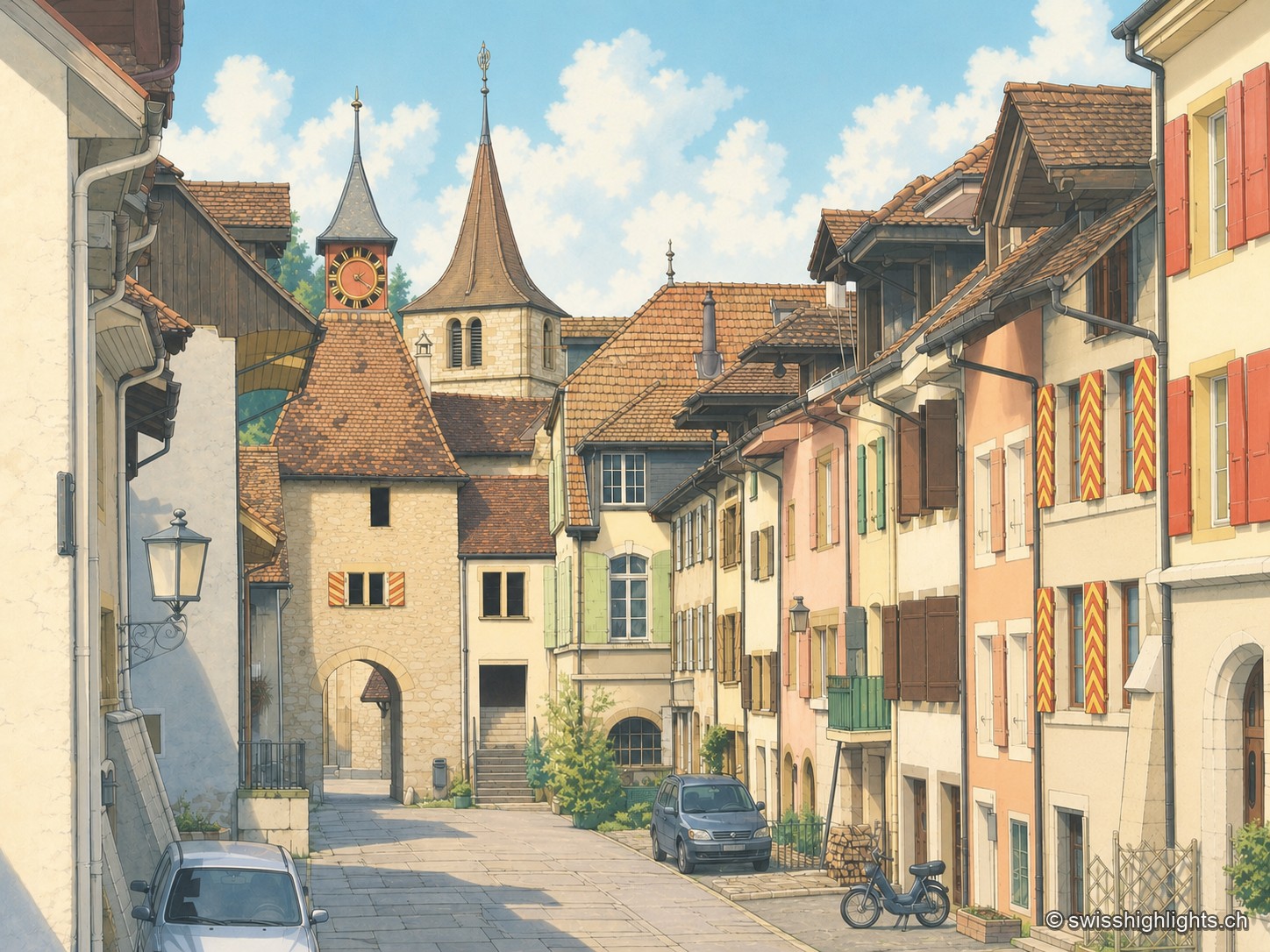
A street in the old town of Valangin, lined with cream, white and beige facades with red shutters; at the far end stand the pointed-roofed gate tower bearing a clock and the slender bell tower of the collegiate church, while a car and a cyclist travel along the cobbled roadway.

Village · Neuchâtel

Valangin

The castle holds the rock that commands the passage; the bourg was founded below it around 1330, the collegiate church consecrated in 1505. In 1853 the beds described here gave their name to the Valanginian.