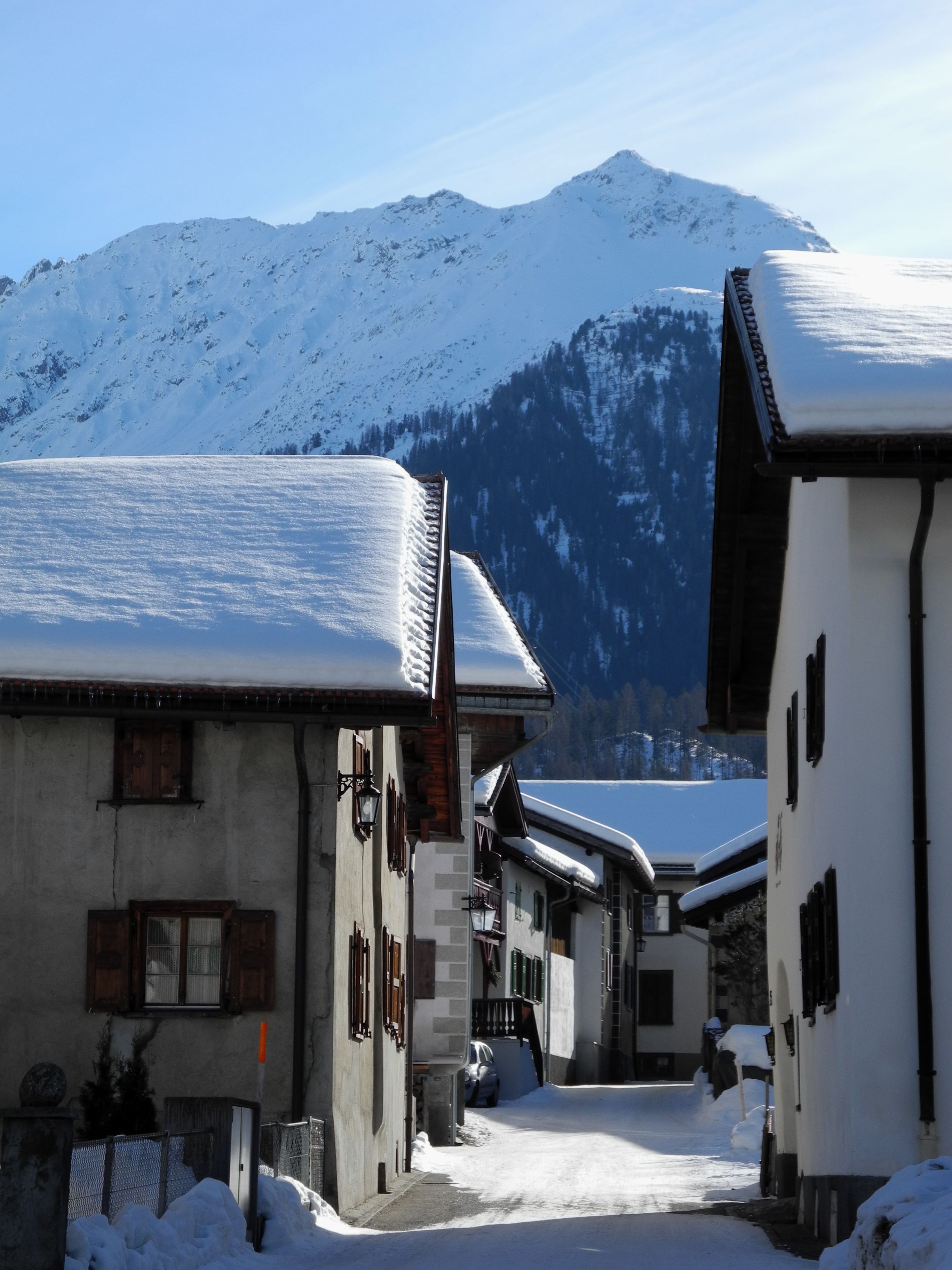
Snow-covered street in Bergün lined with Engadine houses with snow-laden roofs; in the background, a snowy mountainside under a clear sky.

Engadine and Grisons

Tourist regions

18 places referenced, across Graubünden.

An editorial grouping by Swiss Highlights, not an official administrative division.

Bergün/BravuognBreil/BrigelsCastasegnaBernina PassGlacier ExpressBernina RailwayMadulainMalansObermuttenSwiss National ParkPoschiavoSedrunSentSoazzaSoglioSplügenTaraspTschlin
Interactive map — schematic view of Switzerland.

Places on the map

Snow-covered street in Bergün lined with Engadine houses with snow-laden roofs; in the background, a snowy mountainside under a clear sky.

Graubünden · Albula Valley

Bergün/Bravuogn

At 1,367 metres in the Albula Valley, Bergün lines its sgraffito-decorated Engadine houses along one climbing street. Its Romansh name, Bravuogn, has been official since 1943.
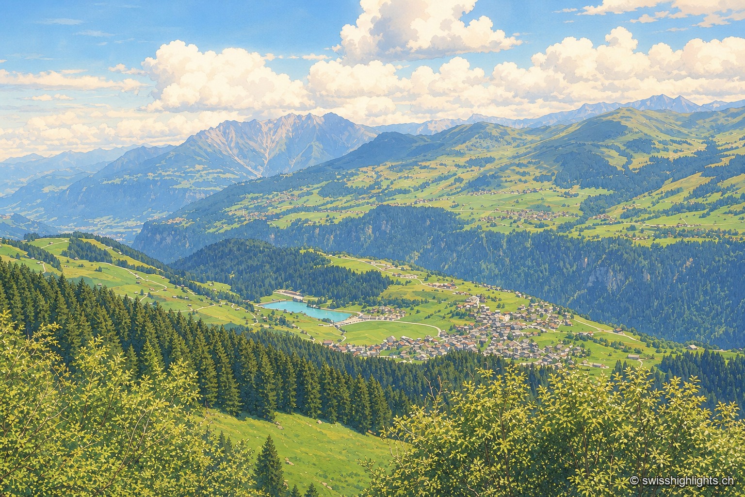
Summer view taken from the opposite slope, above the forest: the village of Breil/Brigels spreads over its terrace of grass and woodland, light-colored houses clustered along the slope, with a small turquoise lake to its left; in front, fir trees descend toward the void of the Vorderrhein valley, and in the background the ranges of the Surselva rise in tiers under a sky of cumulus clouds.

Surselva village · Grisons

Breil/Brigels

Recorded in 765 as Bregelo, the village has carried its double Romansh and German name since 1943. Above it a spruce forest has been left unlogged since 1911, between 1,580 and 2,015 metres.
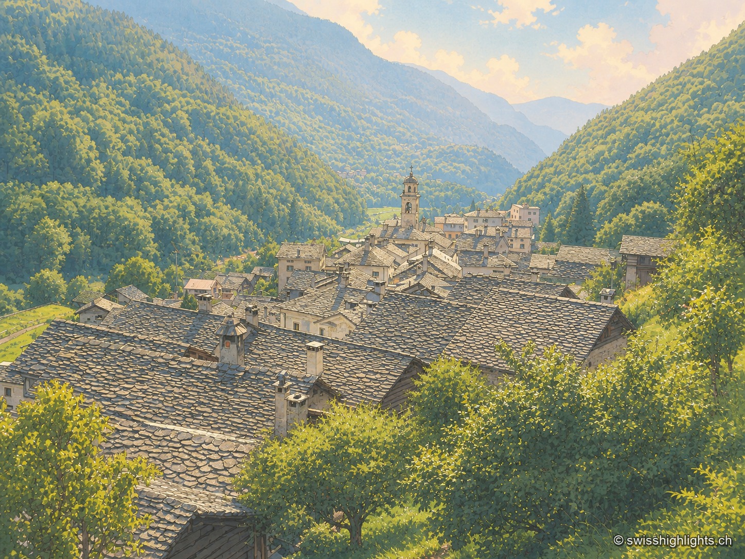
Elevated view from a hillside over the stone roofs of the village, clustered around a bell tower, nestled in a wooded valley closed off by peaks veiled in mist; in the foreground, a flowering meadow and tall purple flowers border the viewpoint.

Border village · Val Bregaglia

Castasegna

Castasegna, the lowest village of the Graubünden Bregaglia, first recorded in 1374, groups Villa Garbald (1862-1864, Gottfried Semper) and the Roccolo tower (2004, Miller & Maranta), near the former largest chestnut forest in Europe.
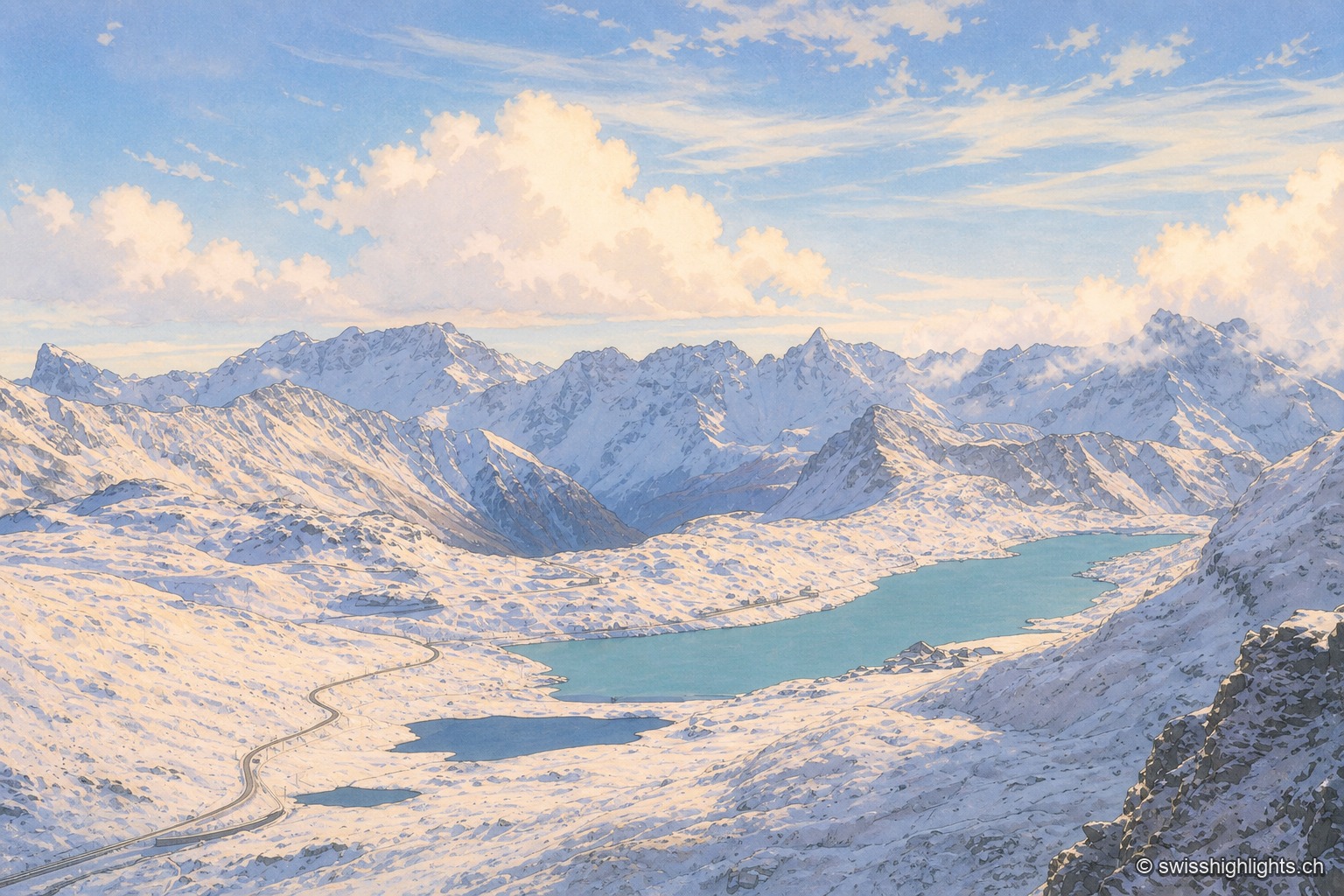
A red-and-white Rhaetian Railway train crosses a low metal bridge at the edge of Lago Bianco, whose turquoise water fills almost the entire frame; in the foreground, tall golden grasses line the shore, under a hazy sky.

Alps' highest year-round pass

Bernina Pass

Sitting on the watershed between the Black Sea and the Adriatic, the pass holds a hospice and two lakes, the Lej Nair and Lago Bianco. The road opened 1842-1865 (38 km); the Rhaetian Railway line was built in 1908-1910.
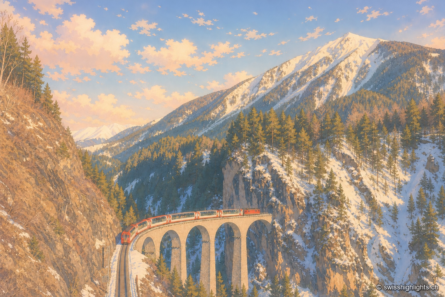
A red and white Glacier Express train, its panoramic cars broadly glazed, curves along the stone arches of the Landwasser Viaduct and is about to head straight into the tunnel cut directly into the limestone wall; opposite, a slope of dark conifers descends to the bottom of the ravine, and the track the train has just left can be made out below to the left.

Railway line · Valais–Graubünden

Glacier Express

The train crosses 291 bridges and 91 tunnels over 291 kilometres of metre-gauge track, climbs to the Oberalp Pass at 2,033 metres and drops again to Chur, at 585 metres, its lowest point.
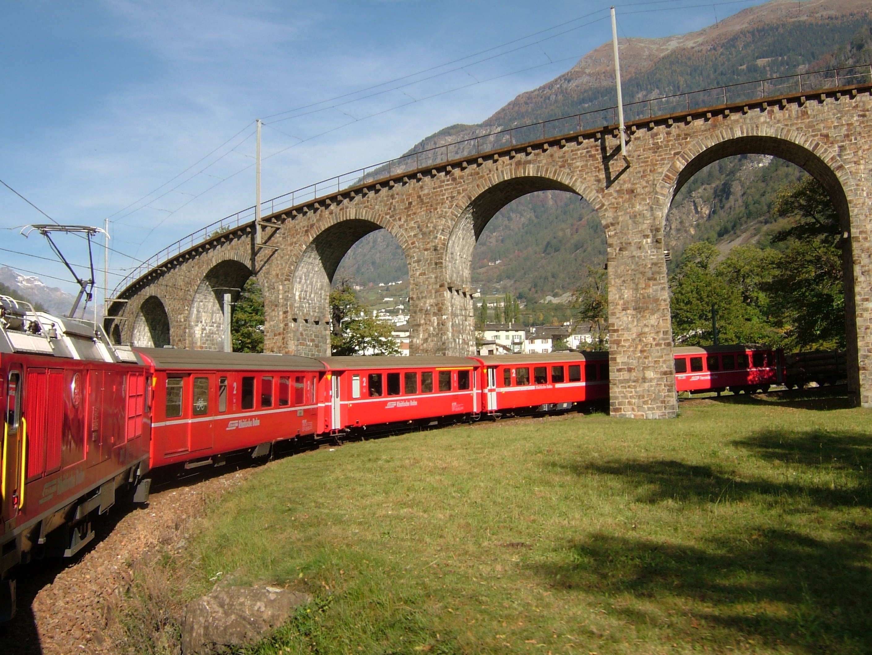
A red Rhaetian Railway train, seen from above, negotiates the loop of the Brusio spiral viaduct: the superimposed stone arches carry the track on two levels between green meadows and groves with golden autumn foliage.

Graubünden · UNESCO World Heritage

Bernina Railway

From St. Moritz to Tirano, 60.688 metre-gauge kilometres cross the Bernina Pass at 2,253 metres. No rack rail: adhesion alone, on gradients reaching 7%.
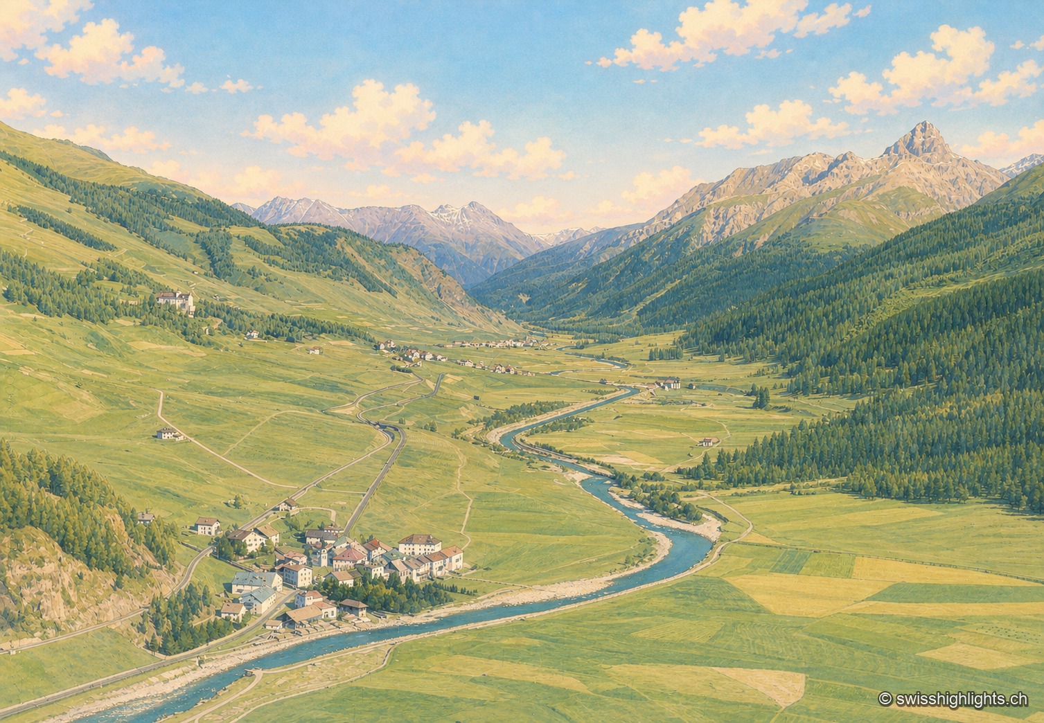
Colorized historical aerial view of the Engadine valley at Madulain: the village lines the Inn river as it winds between meadows, overlooked by wooded slopes and a chain of rocky peaks under a summer sky.

Village · Upper Engadine, Grisons

Madulain

First recorded in 1137-1139 as Madulene, the village is overlooked by the ruins of Guardaval Castle, built in 1251 for the Bishop of Chur. Madulain joined the Les Plus Beaux Villages de Suisse association in 2018.
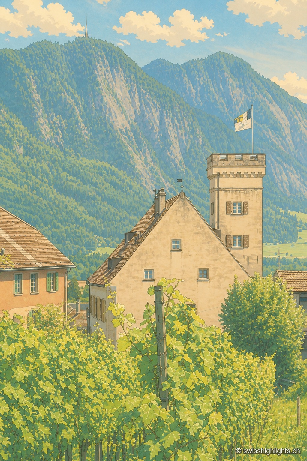
The tower house of Malans, a former fortified dwelling with battlements, rises amid terraced vineyards; in the background, the wooded slope of the Fläscherberg overlooks the valley under a summer sky.

Wine village · Grisons

Malans

The village centre and Bothmar Castle, whose central wing dates from the 16th century, are cultural properties of national significance. The Gothic church of 1469 received rococo stuccowork in 1773; the town hall keeps a council room from 1685.
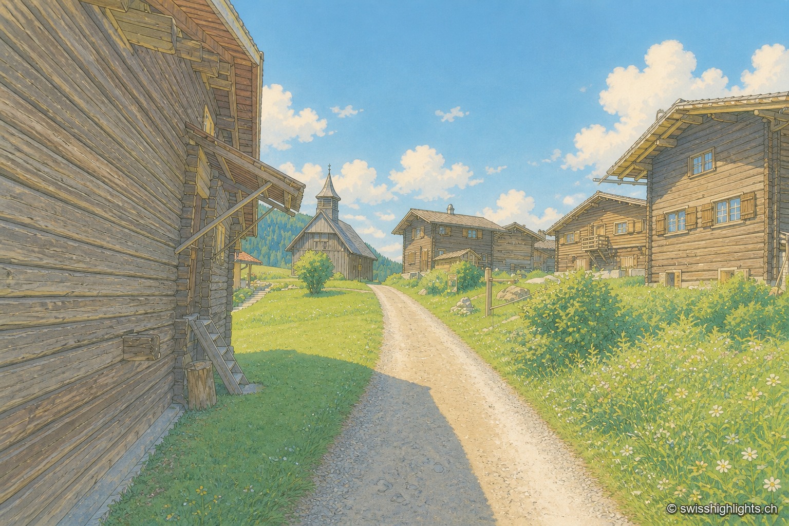
A sloping lane seen in a straight vista between two rows of dark brown wooden houses with open shutters, leading to a small wooden church topped with a pointed steeple, under a cloudless blue sky.

Walser hamlet · Grisons

Obermutten

Part of Thusis since 2017, Obermutten sits at 1,864 metres on the slope of the Muttnerhorn. A fire destroyed seventeen houses there in 1946; the hamlet later gained unexpected social-media fame in 2011.
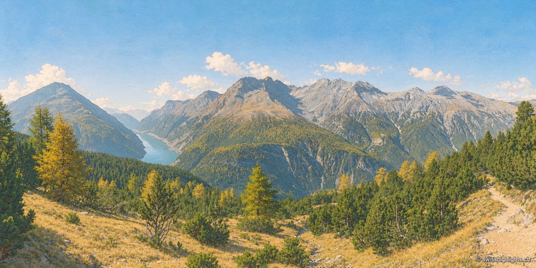
From a trail cut through the dry grass of a slope, the view plunges into a wooded valley where golden autumn larches mingle with dark pines; in the background on the left, a turquoise lake stretches between two slopes, and a long grey limestone ridge closes the horizon under a deep blue, cloudless sky.

National park · Grisons

Swiss National Park

Founded in 1914 between Zernez and the Val Müstair, it rises from 1,400 to 3,173 metres. Red deer, ibex and bearded vultures live here unmanaged; a visit keeps to 80 kilometres of paths that may not be left.
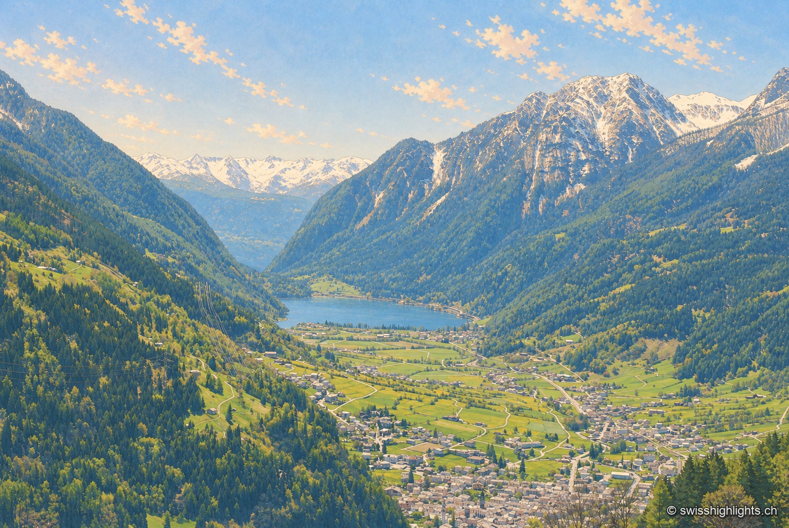
High-angle view over the valley from a wooded slope in spring: in the foreground the tightly packed roofs of the town of Poschiavo, then the valley floor forming a checkerboard of meadows and orchards crossed by roads and paths, an elongated dark lake in the middle, and beyond it the valley continuing southward between two slopes. On the right, a long, still snow-covered ridge descends in gullies to the forest; on the left, the slope remains in shadow. Clear sky.

Italian-speaking town · Grisons

Poschiavo

South of the Alpine watershed, Poschiavo looks to Italy more than to Switzerland: a Gothic collegiate church on a Romanesque base, the tower of the former Milanese bailiffs, a street of houses built by emigrants who came home.
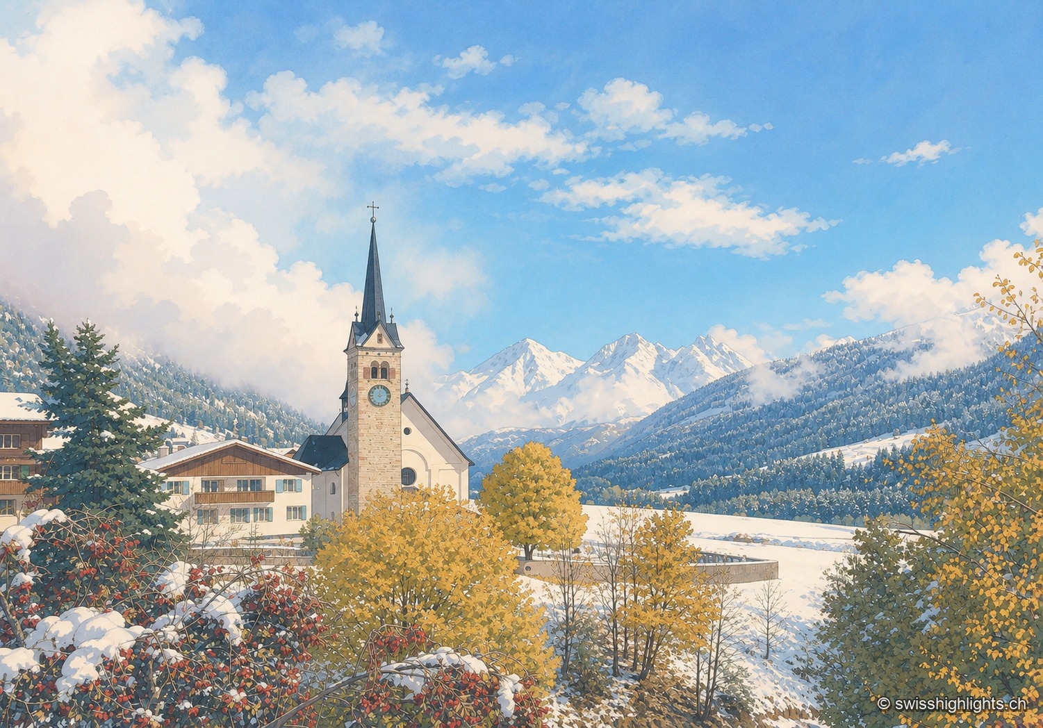
The church of Sedrun with its bell tower, surrounded by village houses and autumn larches, facing the snow-capped peaks of the Val Tujetsch.

Village · Surselva, Grisons

Sedrun

There has never been a village called Tujetsch: it was Sedrun, whose parish church was consecrated in 1205, that became the municipal capital. The Gotthard Base Tunnel runs beneath the municipality.
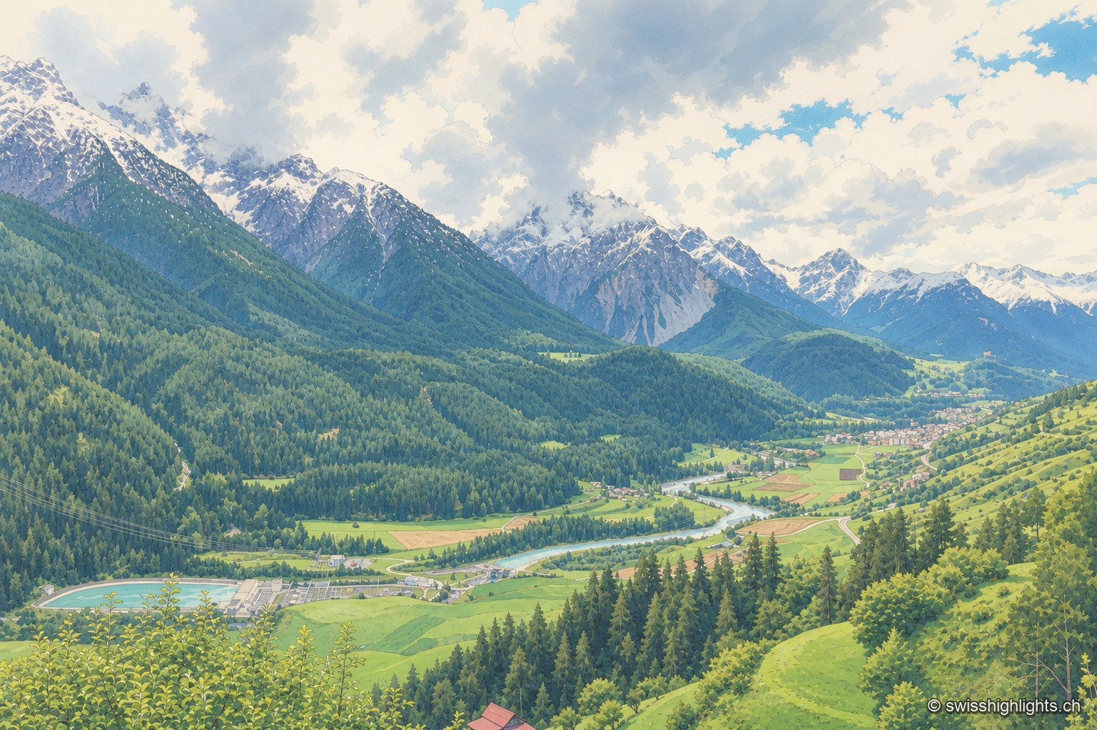
Elevated view of the Inn valley from the heights of Sent: the river winds between green meadows and coniferous forests, a small lake glistens in the foreground, and snow-capped peaks close off the horizon under a changeable sky.

Village · Grisons

Sent

Recorded as early as 930, Sent occupies a terrace at about 1,440 metres above the Inn. Its houses carry sgraffito and the curved gable that took the village's name; the slope below them is terraced and lined with hedges.
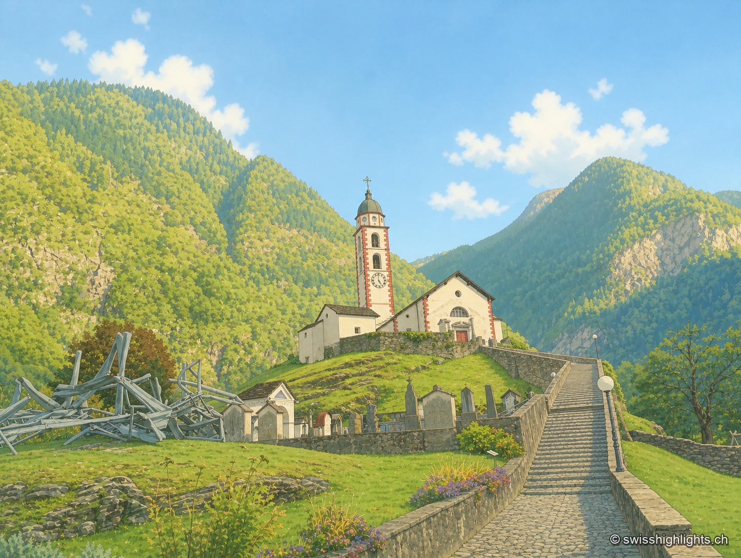
The church of Soazza overlooks the village from its grassy spur, at the top of a stone staircase; in the foreground, a structure of metal beams stands in the grass, between wooded slopes and a clear sky.

Mesolcina village · Grisons

Soazza

324 inhabitants on 46.4 km², more than half of it forest, a church with a striped bell tower on its spur, a frescoed hospice: Soazza holds the hinge between upper and lower Mesolcina.
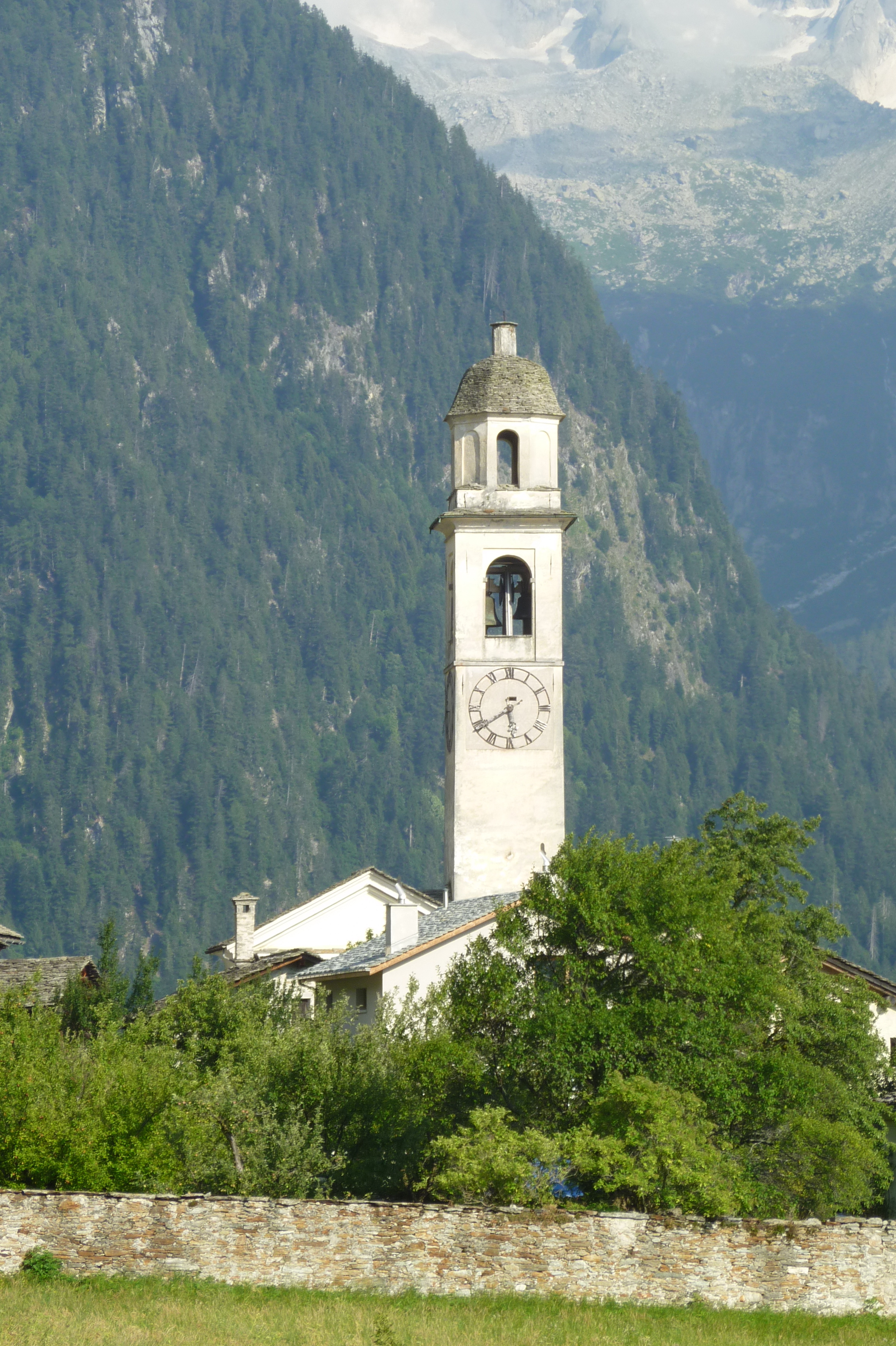
The Soglio bell tower emerges from a cluster of trees, between sloping meadows and the peaks of the Bregaglia valley, with sunlight filtering through the foliage.

Graubünden · Val Bregaglia

Soglio

Set at 1,090 metres on the northern flank of Val Bregaglia, Soglio looks out to the Bondasca glacier. Five palaces of the Salis family stand among the village's stone houses.
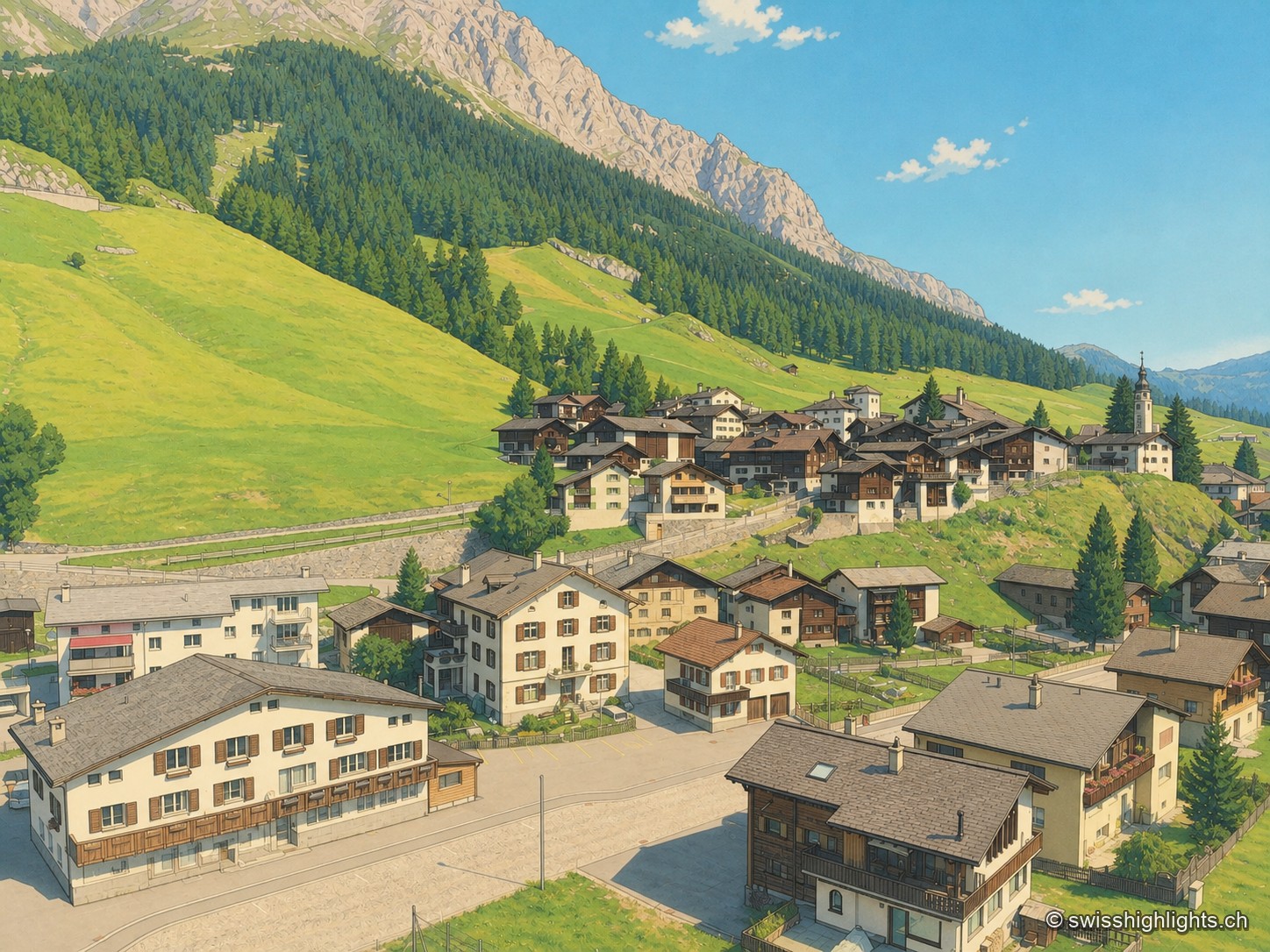
Elevated view of the village of Splügen nestled in the greenery of the Rheinwald valley: brown timber and light-plastered houses clustered around the road, sloping meadows rising toward the larch forest and grey rock walls, under a blue sky dotted with clouds.

Grisons · Rheinwald

Splügen

Splügen holds the floor of the Rheinwald, where the roads to the Splügen and San Bernardino passes part. Its tight-packed houses date from the rebuilding after the fire of 1716.
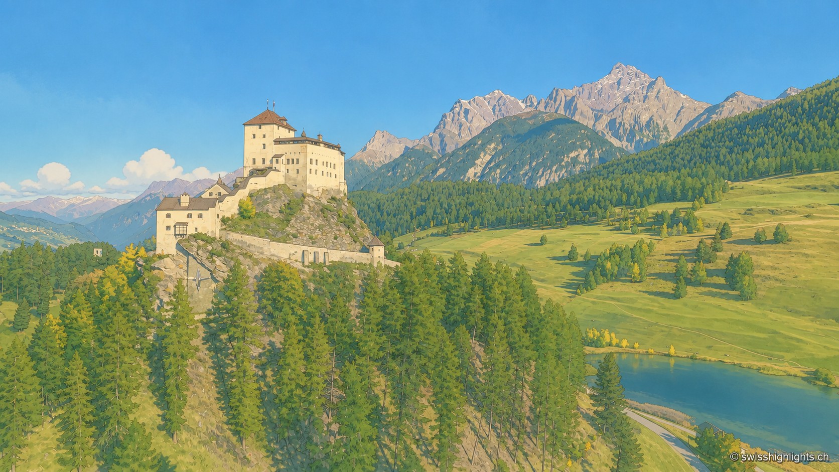
Tarasp Castle rises above a wooded slope over a small lake, surrounded by green meadows and rocky peaks, under a blue sky dotted with white clouds.

Engadine village · Grisons

Tarasp

Tarasp has no centre: its hamlets are spread along the right bank of the Inn, around the rock the castle crowns. Catholic in a Reformed valley, the lordship stayed Austrian until 1803.
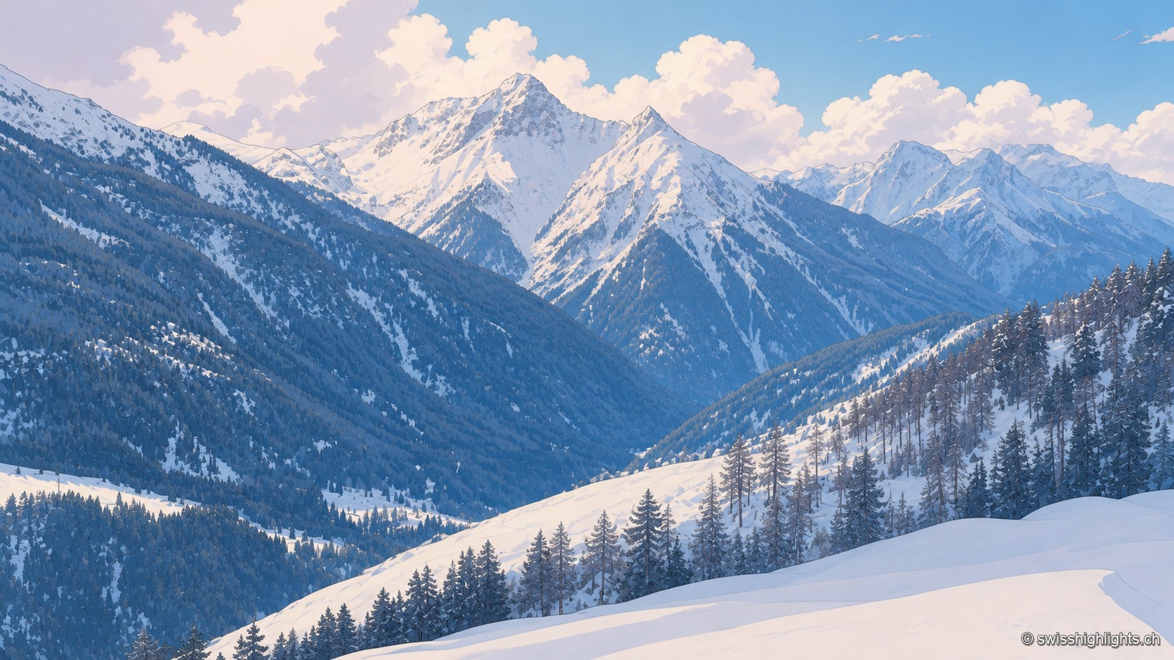
Winter view of an alpine valley near Tschlin: snow-capped peaks rise above forested slopes, with snow-covered fir trees in the foreground under a sky dotted with clouds.

Romansh village · Grisons

Tschlin

The village holds a terrace at 1,553 metres, far above the Inn. Vallader Romansh is spoken here, and the three-country marker at 2,180 metres is visible to the naked eye. A former commune, Tschlin joined Valsot in 2013.