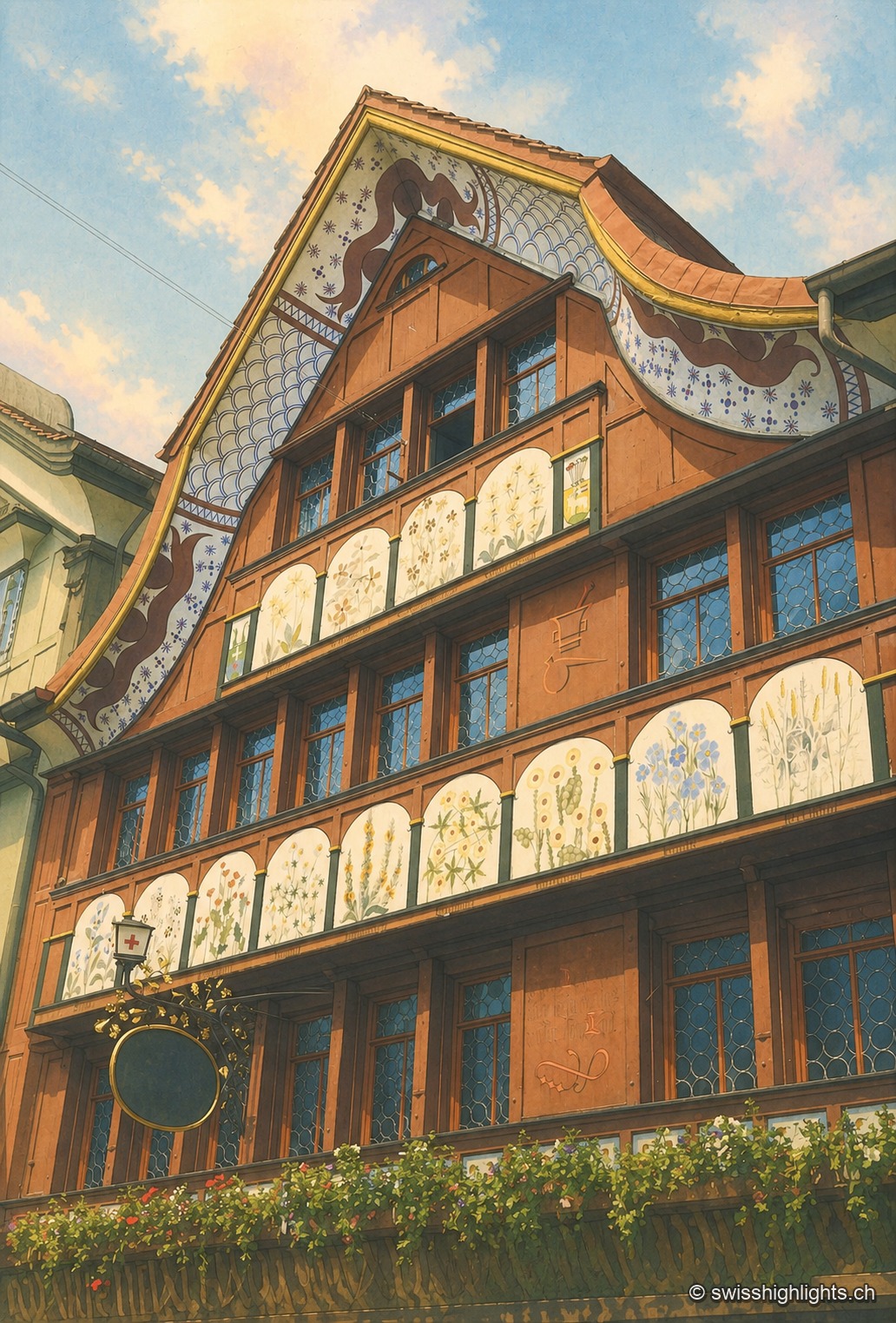
The painted gable of the pharmacy house in Appenzell, seen from below: the roofline traces an inverted curve accented with blue scales on a white background, two rows of white panels each bear a painted plant motif, small-paned windows with round stained-glass insets occupy the space between them, and flower boxes close off the bottom of the frame.

Eastern Switzerland

Tourist regions

19 places referenced, across St. Gallen, Appenzell Innerrhoden, Appenzell Ausserrhoden, Glarus, Schaffhausen, Thurgau.

An editorial grouping by Swiss Highlights, not an official administrative division.

AppenzellRhine FallsDiessenhofenEnnendaErmatingenGorges de la TaminaGottliebenHallauHeidenHembergLichtensteigNeunkirchBridges of Bruggen and the Sitter ValleySchlatt AITrogenUrnäschWerdenbergZiegelbrückeZiegelbrücke
Interactive map — schematic view of Switzerland.

Places on the map

The painted gable of the pharmacy house in Appenzell, seen from below: the roofline traces an inverted curve accented with blue scales on a white background, two rows of white panels each bear a painted plant motif, small-paned windows with round stained-glass insets occupy the space between them, and flower boxes close off the bottom of the frame.

Village · Appenzell Innerrhoden

Appenzell

A township of 5,778 inhabitants at the foot of the Appenzell Prealps, whose name, recorded in 1071, means the abbot's cell. On its square, citizens still vote by show of hands.
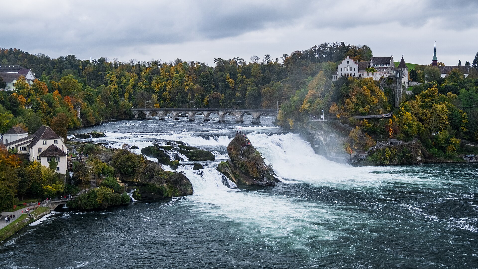
The Rhine Falls in full width: the sheet of white water splits around the vegetation-covered central rock; on the bank overlooking the falls stands Laufen Castle, surrounded by trees in autumn colors, and a bridge spans the river upstream.

Waterfall · Schaffhausen

Rhine Falls

A sheet of water 150 metres wide falls 23 metres over a sill of Malm limestone. As a summer average, the flow is close to 600 cubic metres per second.
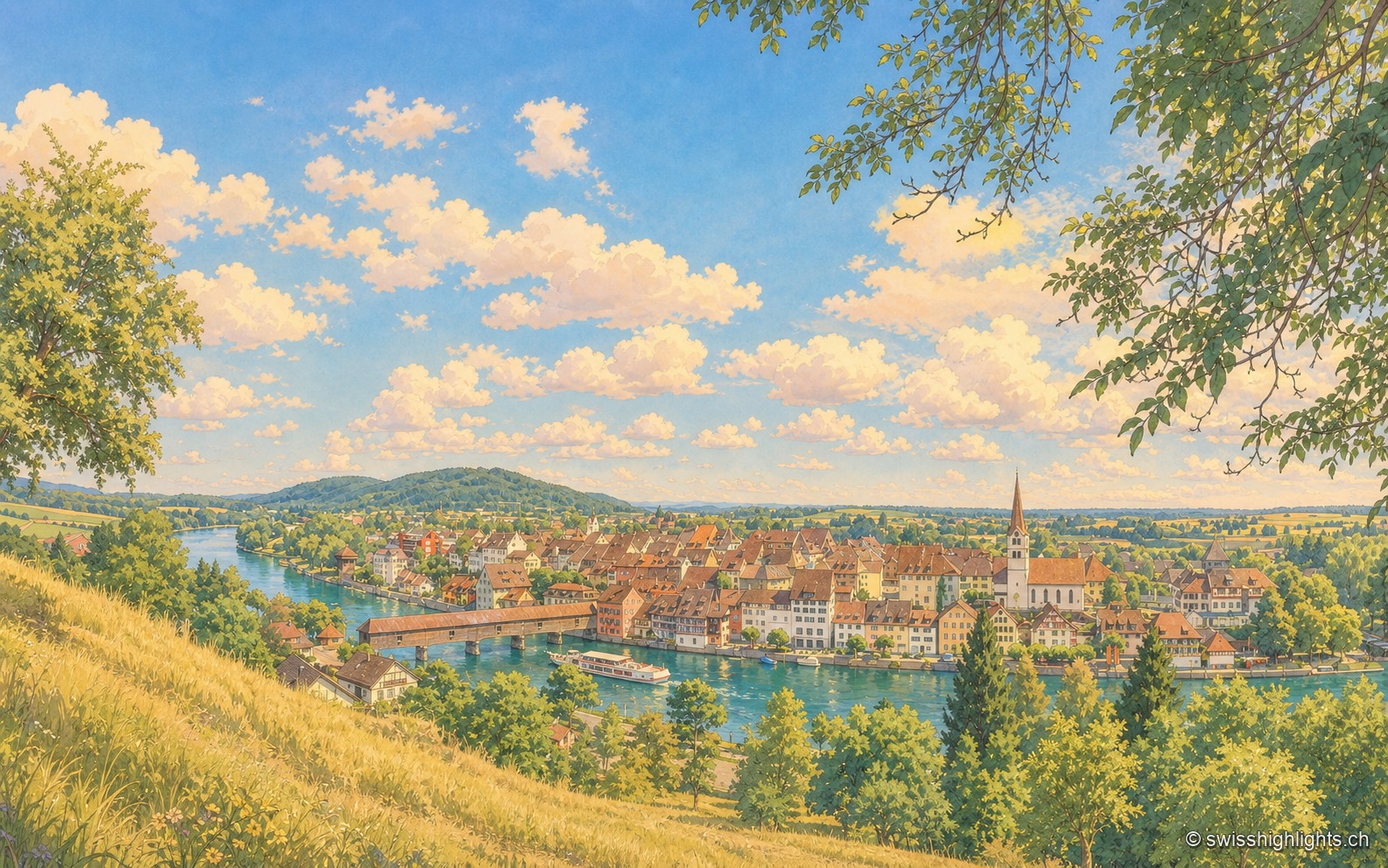
Elevated view of Diessenhofen from a height on the opposite bank: the Rhine looping through, the covered wooden bridge on the left, a passenger boat before the quay, the tightly packed roofs of the town and the church bell tower at the center, under a summer sky with cumulus clouds.

Rhine town · Thurgau

Diessenhofen

Raised to town status in 1178 by the counts of Kyburg, Diessenhofen has kept its medieval street plan, its Seal Tower with a zodiac dial, and its covered wooden bridge across the Rhine into Germany.
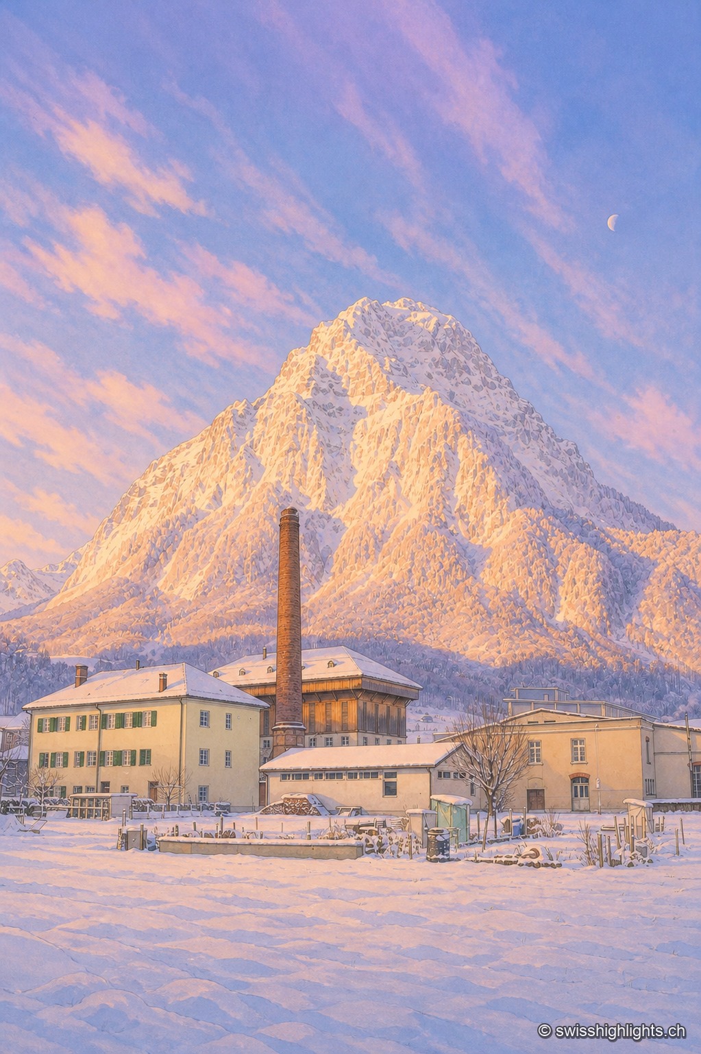
A brick factory chimney stands before a pyramidal mountain entirely gilded by the low light of a winter sunset, its illuminated face in yellow and orange contrasting with a blue-violet sky streaked with long, thin clouds. In the foreground, industrial and residential buildings with snow-covered roofs, surrounded by a snow-covered kitchen garden; a thin crescent moon is visible at the top right of the sky.

Former industrial village · Glarus

Ennenda

2,684 inhabitants, a Gemeindehaus built like a palace in 1889-1890, the chocolate maker Läderach: Ennenda, merged into Glarus since 2011, was carried first by the slate-table trade, then by textiles.
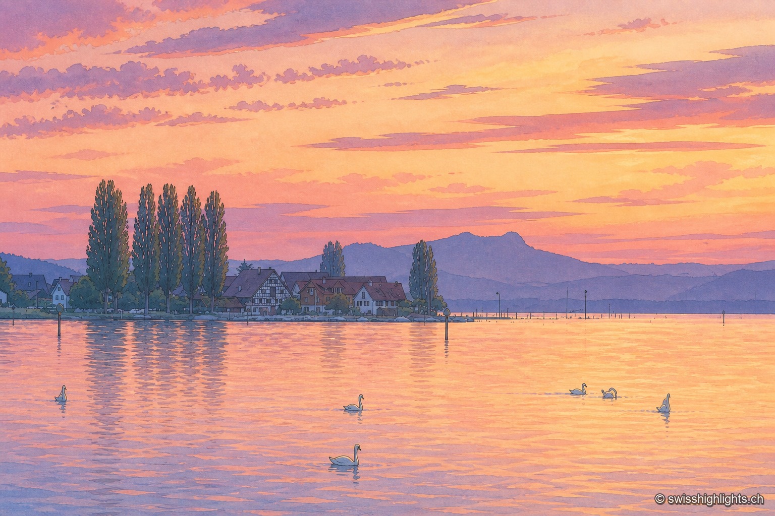
Orange sunset over the Untersee: backlit, the built-up shoreline of Ermatingen and its poplars stand out in silhouette above the water, where about ten swans are swimming; on the horizon, the hills of the Hegau.

Lakeside village · Thurgau

Ermatingen

First named in 724 in the founding charter of Reichenau Abbey, Ermatingen lines up its half-timbered houses along the water. Its carnival, the Groppenfasnacht, falls on Laetare Sunday, three weeks before Easter.
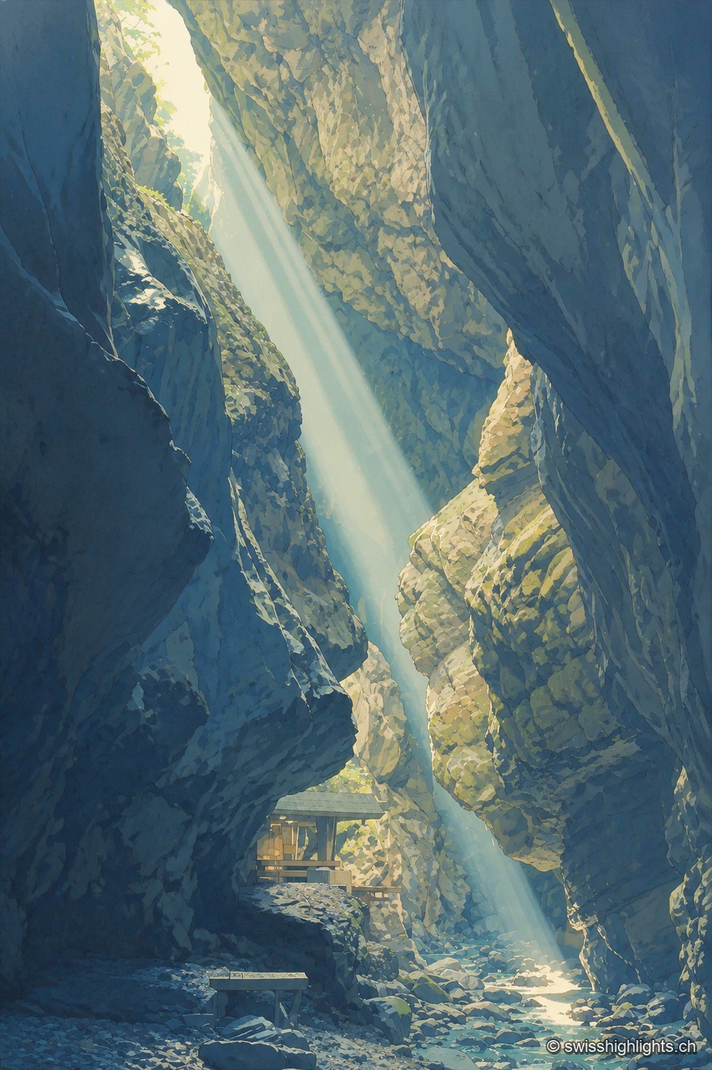
A ray of light falls almost vertically between the tall dark walls of the Tamina Gorge, lighting up the mossy rock face and the pebbly bed of the torrent; a small wooden shelter is tucked onto a ledge at the foot of the fissure.

Limestone gorge · St. Gallen

Gorges de la Tamina

Between Pfäfers and Bad Ragaz, the Tamina carved an 8.4 km gorge over 15,000 years, spanned by natural rock bridges; at its head, a 36.6°C spring, tapped since 1350, now feeds the baths of Bad Ragaz.
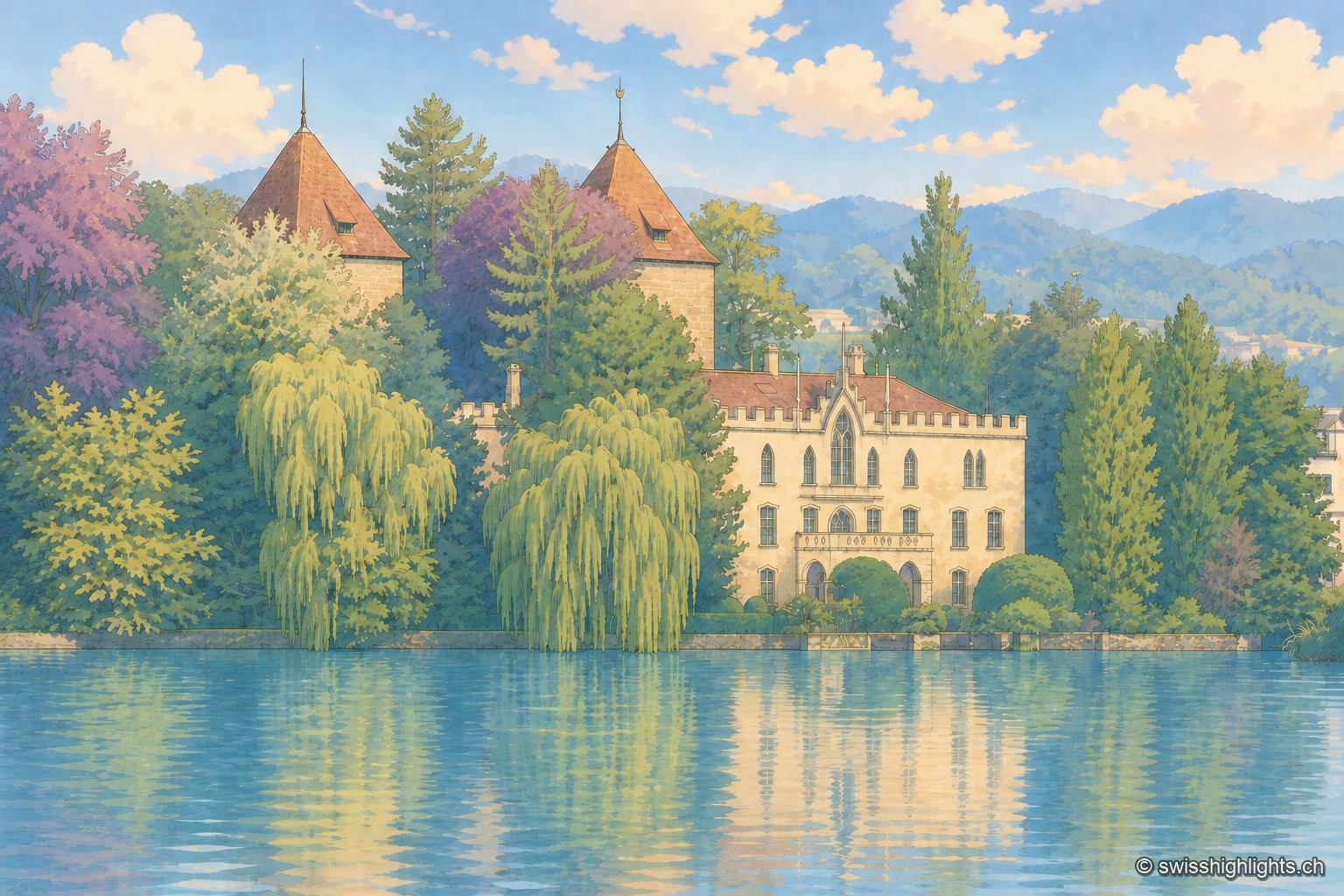
Gottlieben Castle, with its pale facade of crenellated gables and two turrets topped with red conical roofs, stands on the bank of the Seerhein behind a screen of weeping willows and trees with pink and green foliage; its reflection extends across the calm water under a summer sky dotted with large cumulus clouds.

Seerhein village · Thurgau

Gottlieben

The village was fortified in 1251 by bishop Eberhard von Waldburg. Its castle served as a prison: Jan Hus and antipope John XXIII were shut up there in 1415, during the Council of Constance.
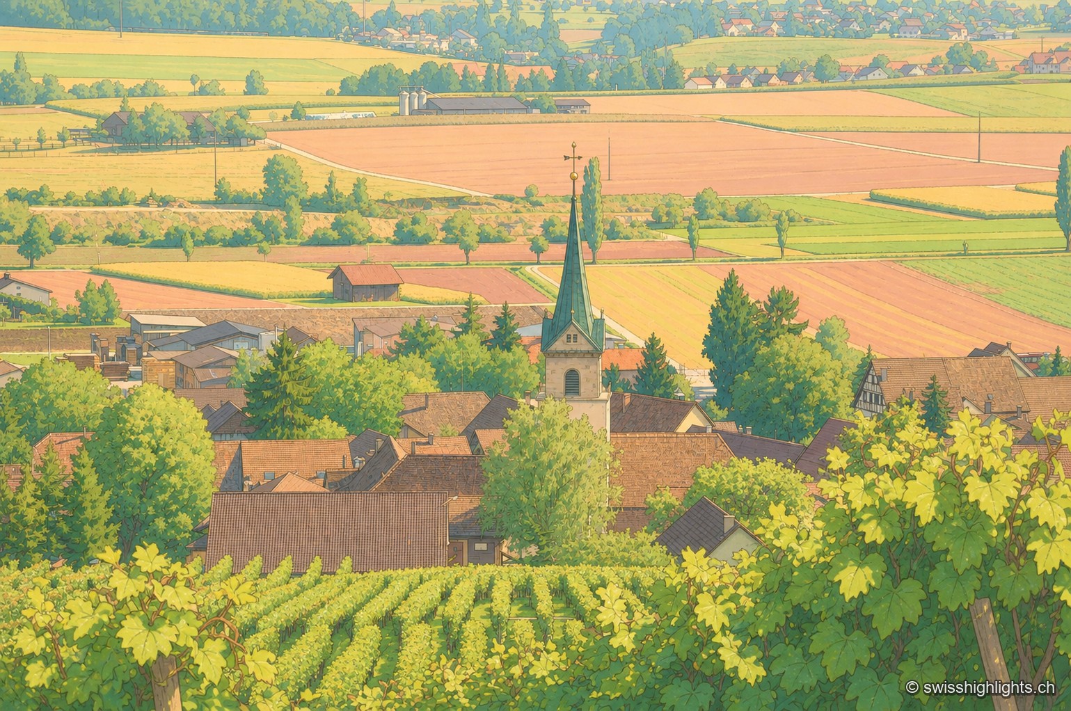
View of the village of Hallau nestled among the vineyards, with its slender bell tower rising above the rooftops, surrounded by a checkerboard of fields and meadows stretching to the horizon.

Wine village · Schaffhausen

Hallau

Set at about 421 metres north of the Rhine, some fifteen kilometres from Schaffhausen, Hallau has lived from its vines since the thirteenth century. Encyclopedic sources call it the largest wine village of eastern Switzerland.
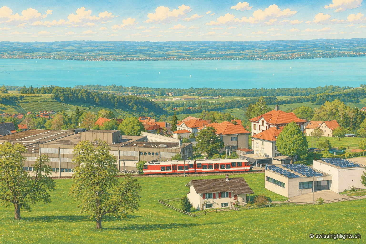
Elevated view of Heiden and Lake Constance: in the foreground the roofs of the town and a red rack railway train, then the blue waters of the lake, dotted with a few sailboats, stretching to the opposite shore.

Village · Appenzell Ausserrhoden

Heiden

A township of 4,383 inhabitants spread between 400 and 790 metres, a cure resort since 1848, linked to the lakeshore by a rack railway. Henri Dunant spent his last eighteen years here.
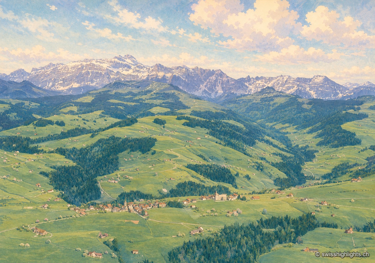
View of the lush green alpine pastures of Hemberg, dotted with isolated farms, with the snow-capped Säntis and Alpstein range rising on the horizon under a blue sky.

Mountain village · St Gallen

Hemberg

Made a parity village in 1526, Hemberg had Catholics and Protestants worship in the same building for two and a half centuries, until the two churches of 1779 and 1782. The place ranges from 709 to 1,139 metres.
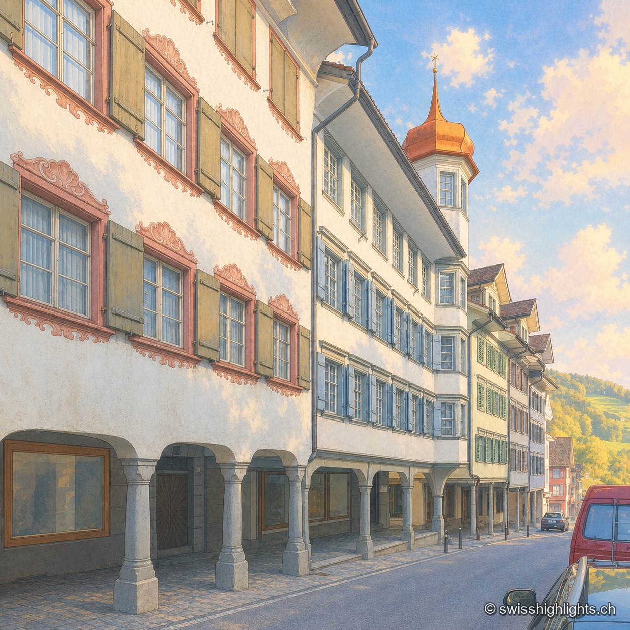
The Hauptgasse in Lichtensteig at the end of the day, in raking golden light: painted facades with colourful shutters and arcades on stone pillars in the foreground; in the centre, a golden onion-domed tower with a red conical roof crowns the former district building (Bezirksgebäude); the cobbled street descends toward more old houses.

Medieval small town · St Gallen

Lichtensteig

Recorded in 1228, the town gained charters of liberties from 1400. The county passed to the Abbey of St Gallen in 1468, which stationed its reeve there until 1798. Wakker Prize 2023, it joined Switzerland's Most Beautiful Villages in 2016.
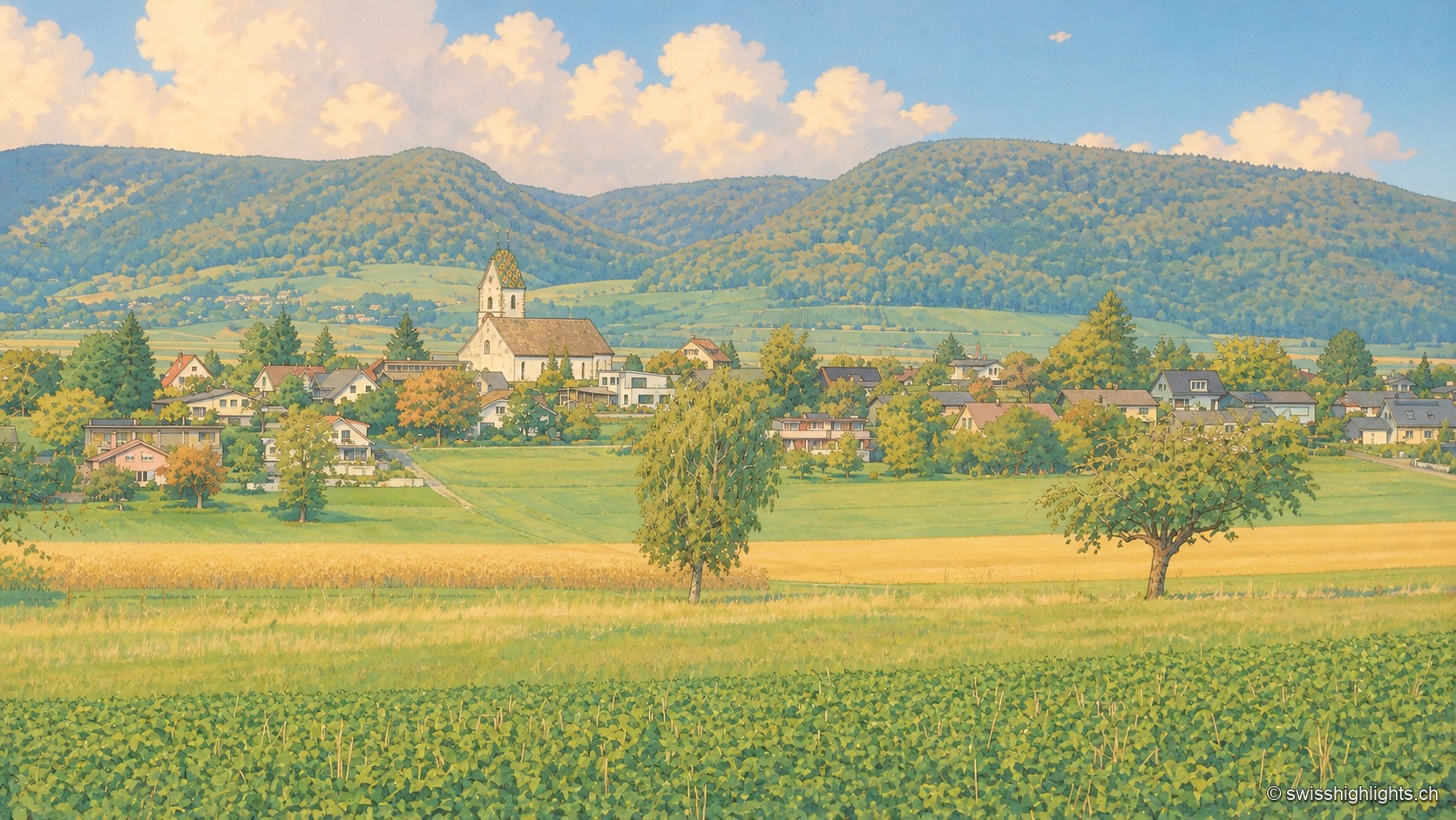
The village of Neunkirch nestled between wheat fields and orchards, its golden onion-domed bell tower rising above the rooftops, backed by wooded hills under a summer sky dotted with large clouds.

Planned small town · Schaffhausen

Neunkirch

Destroyed and then rebuilt in one go, it has kept its rectangle of four parallel streets. Long held by the bishops of Constance, it was sold to Schaffhausen in 1525 for 8,500 guilders.
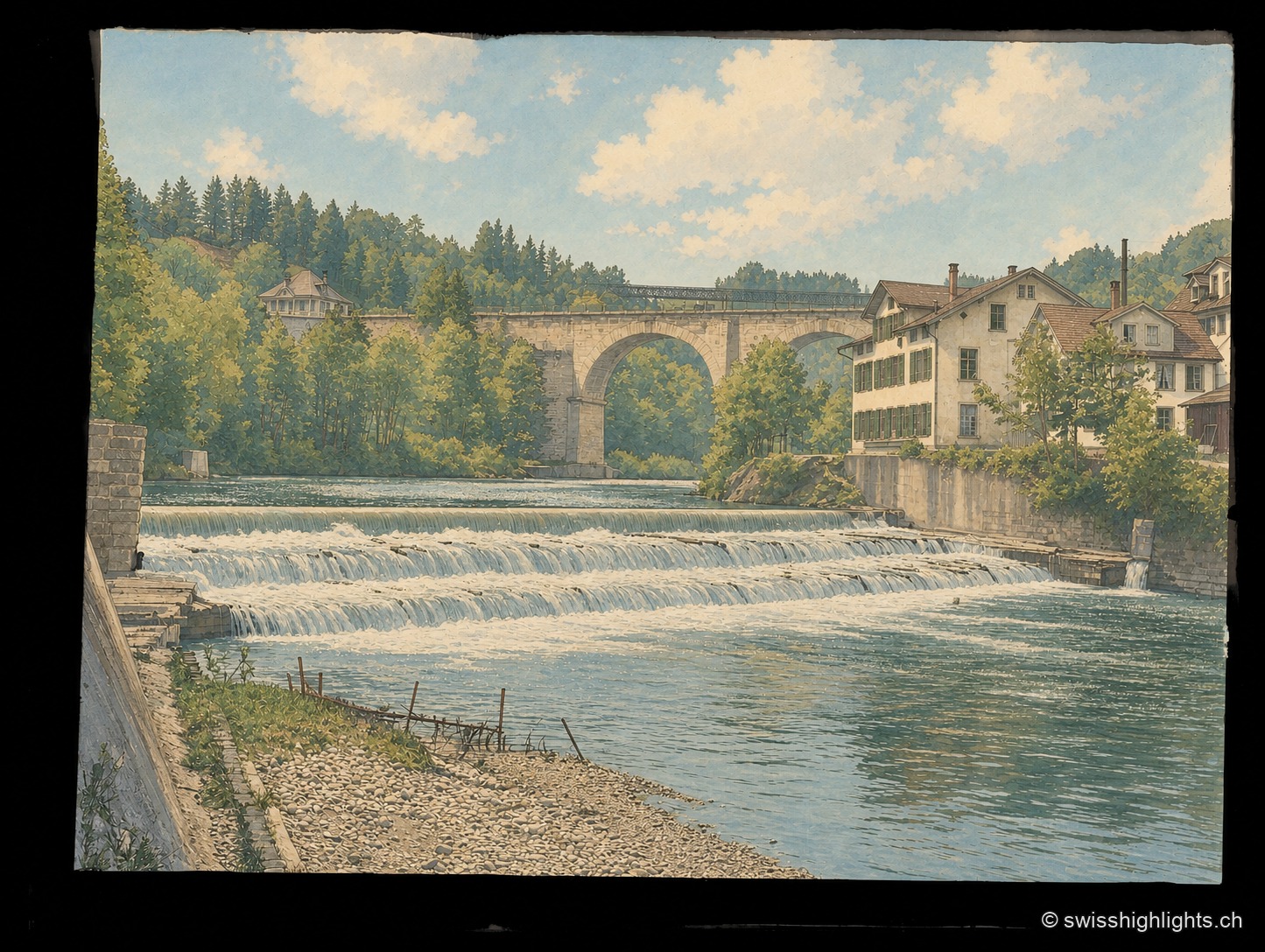
Old black-and-white photograph, captioned "Sitter & Krälzerenbrücke bei Bruggen, St. Gallen": a multi-arched stone viaduct spans the Sitter in the background, under a hazy light. In the foreground, the river's weir dam forms a series of small white cascades across the full width of the frame. On the right, steep-roofed houses line the water's edge among the trees; on the left, a stone wall and a stony bank.

Heritage landscape · St. Gallen

Bridges of Bruggen and the Sitter Valley

Around Bruggen, at the gates of St. Gallen, an 8.2 km path links eighteen 18th-20th century bridges: timber from 1780, stone from 1811, a 100-metre railway viaduct opened in 1910, through the wooded gorges of the Sitter.
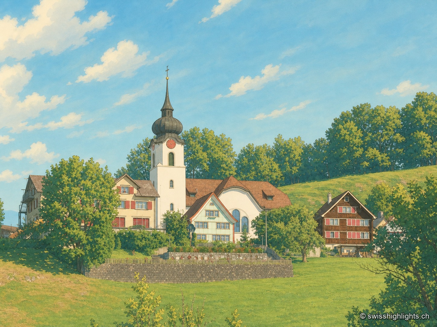
The village of Schlatt AI with its onion-domed church surrounded by traditional Appenzell houses, set on a lush green meadow.

Ridge village · Appenzell

Schlatt AI

The name is written around 1200, as Slatte, for a pasture on a slope. The road to Appenzell came only in 1898, and the church was consecrated on 12 June 1912. The site is listed in the ISOS inventory under number 0391.
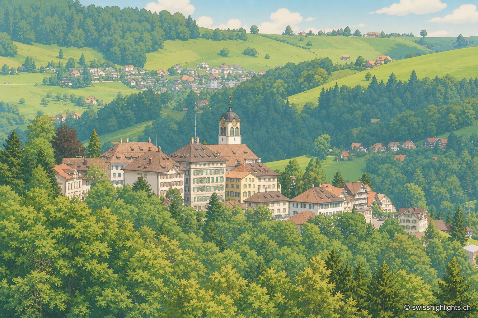
The village of Trogen, dominated by its church bell tower and a large white building with a pentagonal floor plan, stretches along a wooded hillside surrounded by rolling green hills.

Village · Appenzell Ausserrhoden

Trogen

Trogen became the capital of Appenzell Ausserrhoden in 1597 and lines its square with the Zellweger family's palaces, built between 1747 and 1809 from the textile trade. The Landsgemeinde met here until it was abolished in 1997.
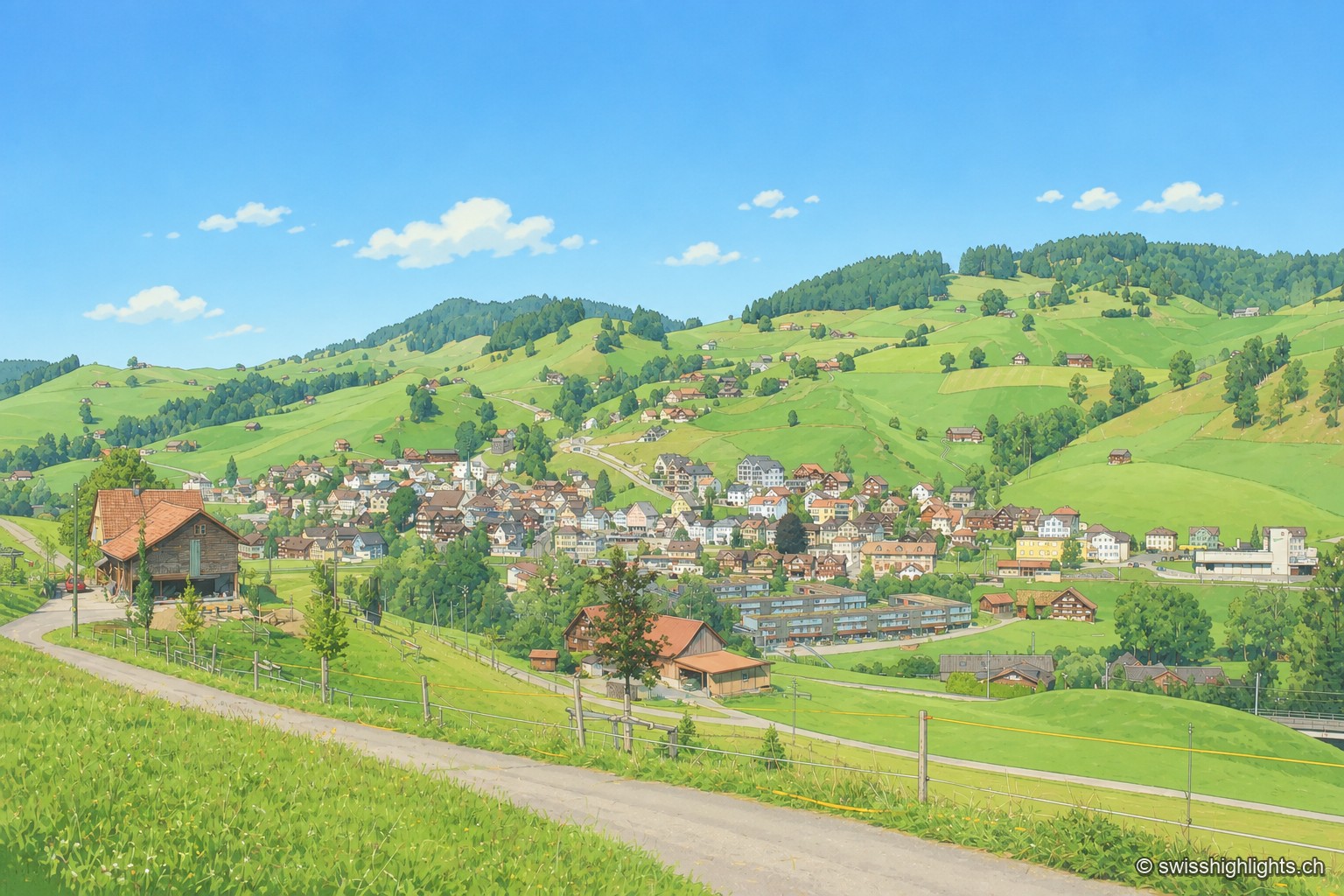
The village of Urnäsch occupies a rolling stretch of green meadows, with an Appenzell farmhouse with a broad red roof in the foreground and wooded hills on the horizon.

Appenzell village · Ausserrhoden

Urnäsch

First recorded in 831, Urnäsch became an autonomous parish in 1417, then, after the 1597 cantonal split, the first of the six Rhoden of Appenzell Ausserrhoden. Weaving, then embroidery, supported generations here.
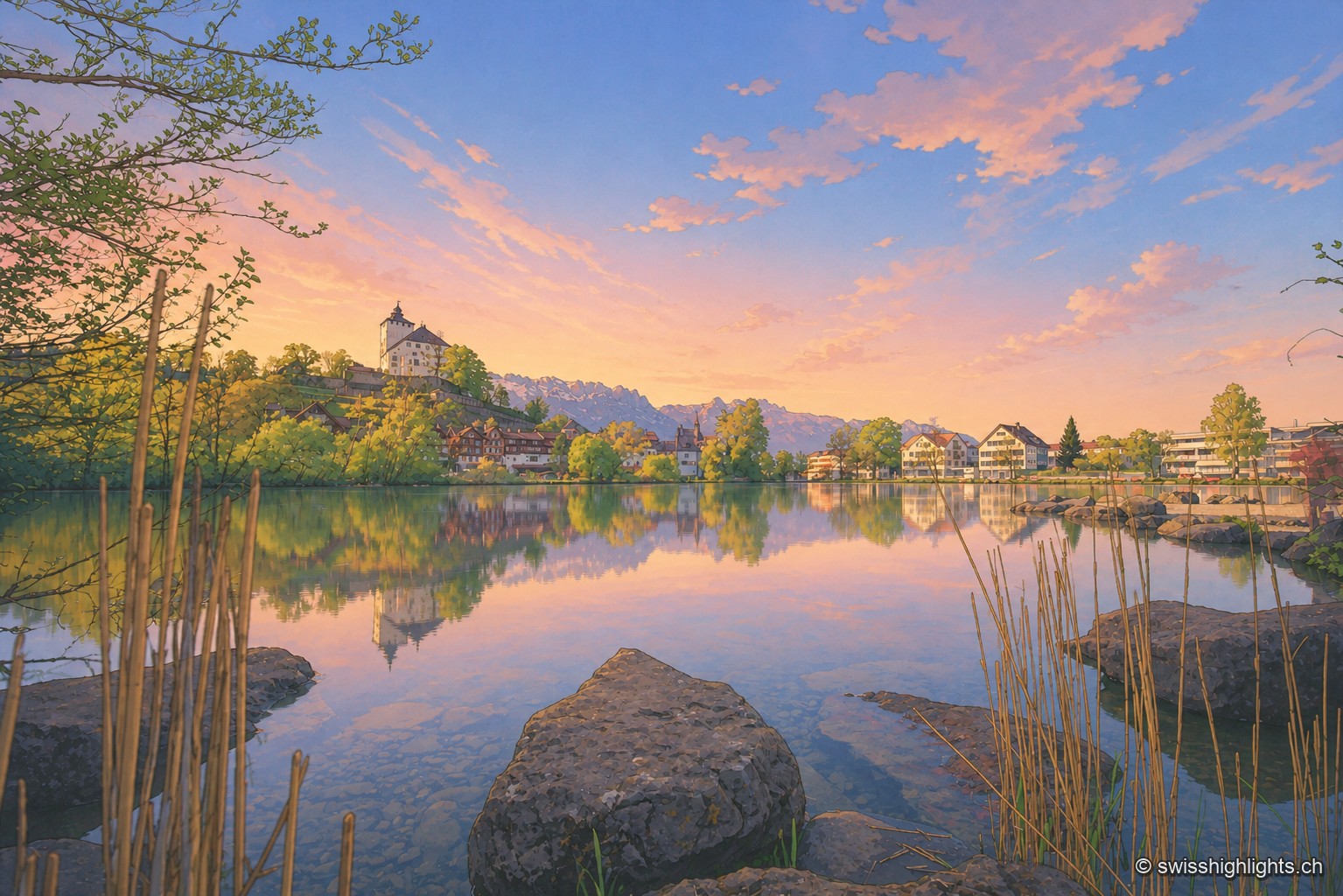
Lake Werdenberg at dusk, its calm waters reflecting a pink and orange sky; in the distance on the shore, the castle can be glimpsed among the trees and the rooftops of the town, with reeds and rocks in the foreground.

Fortified town · St. Gallen

Werdenberg

Market rights here are attested since 1289. The county of Werdenberg changed hands several times before being sold to Glarus in 1517; it joined St. Gallen in 1803. The castle has hosted a festival since 1985.
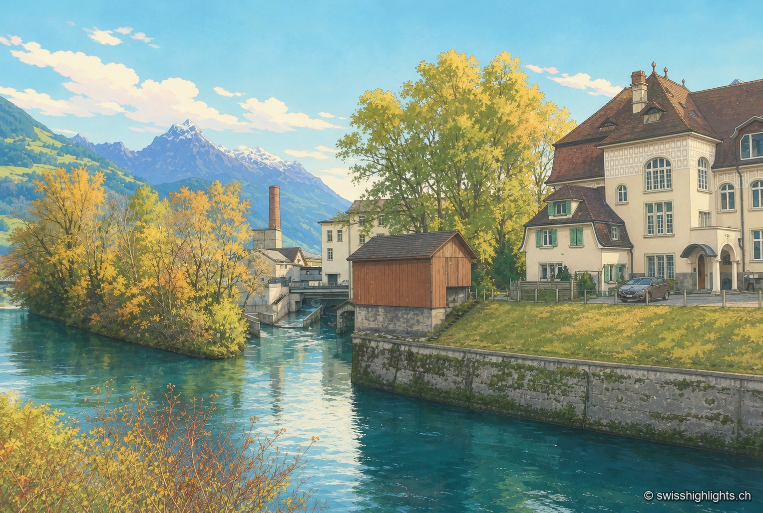
A turquoise-watered river winds between a left bank lined with autumn-foliaged trees, with an industrial chimney and a small bridge, and a right bank occupied by a large pale building with a brown roof; snow-capped peaks stand out in the distance under a clear blue sky.

Village split by a canal · Glarus/SG

Ziegelbrücke

The Linth Canal splits Ziegelbrücke in two: station and railway junction on the St. Gallen side, the Fritz & Caspar Jenny mill (1833), listed in the ISOS inventory, on the Glarus side.

A turquoise-watered river winds between a left bank lined with autumn-foliaged trees, with an industrial chimney and a small bridge, and a right bank occupied by a large pale building with a brown roof; snow-capped peaks stand out in the distance under a clear blue sky.

Village split by a canal · Glarus/SG

Ziegelbrücke

The Linth Canal splits Ziegelbrücke in two: station and railway junction on the St. Gallen side, the Fritz & Caspar Jenny mill (1833), listed in the ISOS inventory, on the Glarus side.