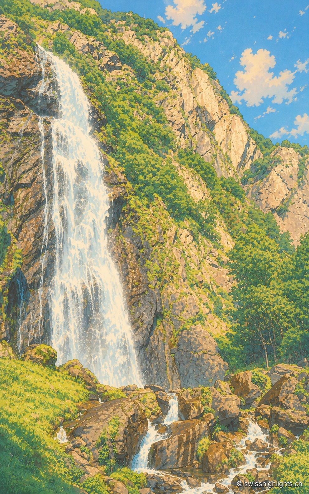
The waterfall descends in the left half of the frame as a long white sheet plastered against a dark rock wall streaked with grass; on the right, the rocky slope rises in full sunlight toward a cloudless blue sky, and in the foreground the water breaks into rivulets between brown boulders and green tufts.

Lakes and waterfalls

Collections

20 member places · BE, GE, JU, LU, NE, NW, OW, SG, SH, SO, SZ, UR, VD, VS

Deterministic criterion: place type lake, waterfall, or gorge in golden-set.json.

Cascade de la PissevacheTrümmelbach FallsRhine FallsÉtang de la GruèreAare GorgeGorges de la SuzeGorges de Sainte-VérèneGorges du DurnandGorges de la TaminaGorges du TrientLac Bleu d'ArollaLake BielLake BrienzLake ThunLake LucerneLake GenevaSaint-Léonard Underground LakeOeschinenseeSaut du DoubsTine de Conflens
Interactive map — schematic view of Switzerland.

Places in this collection

The waterfall descends in the left half of the frame as a long white sheet plastered against a dark rock wall streaked with grass; on the right, the rocky slope rises in full sunlight toward a cloudless blue sky, and in the foreground the water breaks into rivulets between brown boulders and green tufts.

Waterfall · Valais

Cascade de la Pissevache

Looked at since the 17th century, it also turned mills; from 1866 a walkway took visitors under the water. The Salanfe dam, built from 1947 to 1950, has greatly reduced its flow.
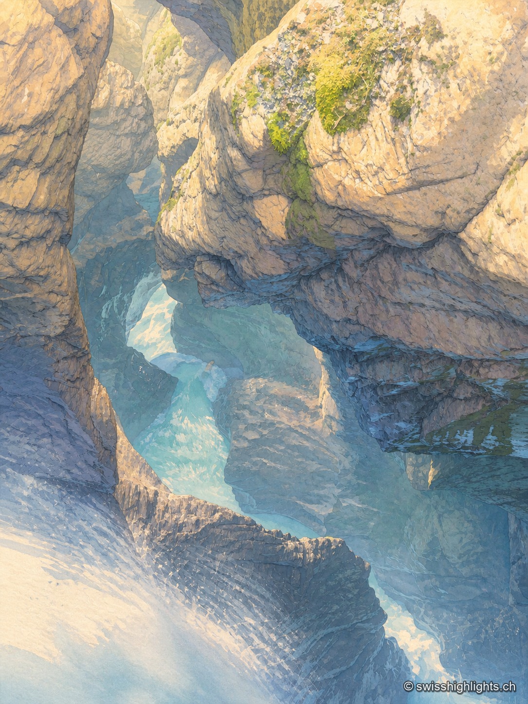
At the bottom of a narrow gorge, the milky turquoise water of the Trümmelbach glides in long exposure between walls of polished limestone; mist rises from the current, and a few tufts of green moss catch the light on the overhanging rock.

Underground falls · Bernese Oberland

Trümmelbach Falls

The Trümmelbach alone drains the glacier faces of the Eiger, the Mönch and the Jungfrau: up to 20,000 litres a second in a gorge so narrow that daylight no longer reaches the upper falls.
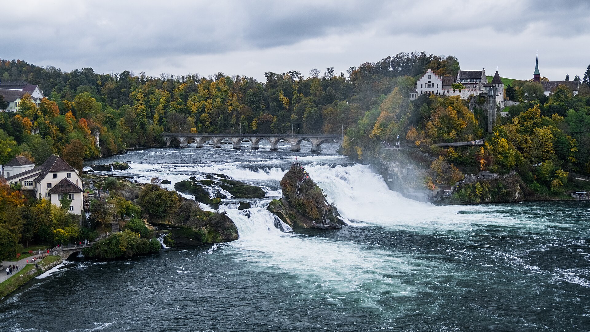
The Rhine Falls in full width: the sheet of white water splits around the vegetation-covered central rock; on the bank overlooking the falls stands Laufen Castle, surrounded by trees in autumn colors, and a bridge spans the river upstream.

Waterfall · Schaffhausen

Rhine Falls

A sheet of water 150 metres wide falls 23 metres over a sill of Malm limestone. As a summer average, the flow is close to 600 cubic metres per second.
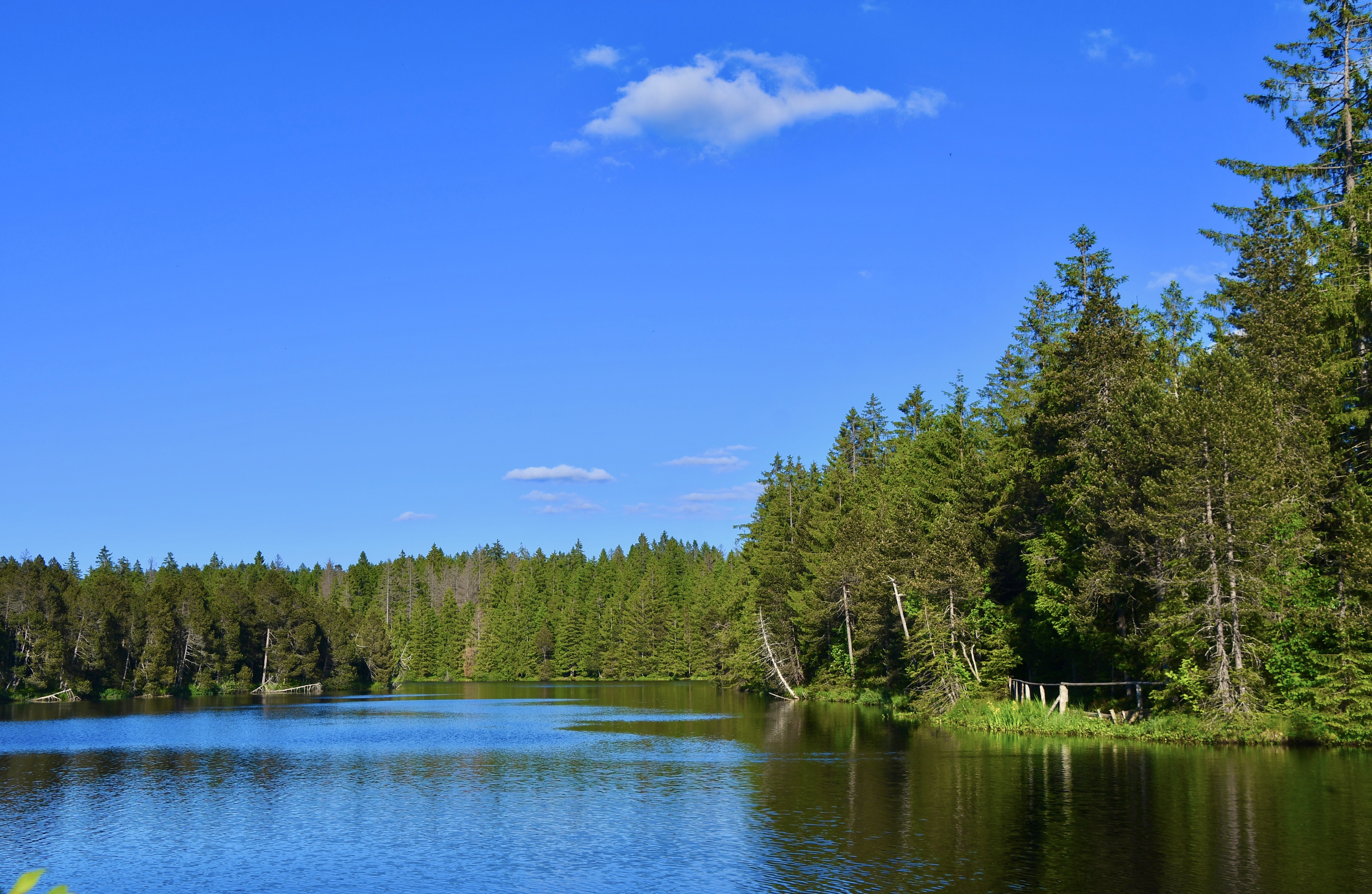
The Étang de la Gruère on a calm day: the spruce forest and a sky streaked with clouds are mirrored perfectly in the water, with rushes and a clump of reeds in the foreground on the right.

Protected raised bog · Jura

Étang de la Gruère

At 998 metres, in the municipality of Saignelégier, a body of water five hundred metres long bordered by a 56-hectare peat bog, where peat has built up to nine metres thick over twelve thousand years.
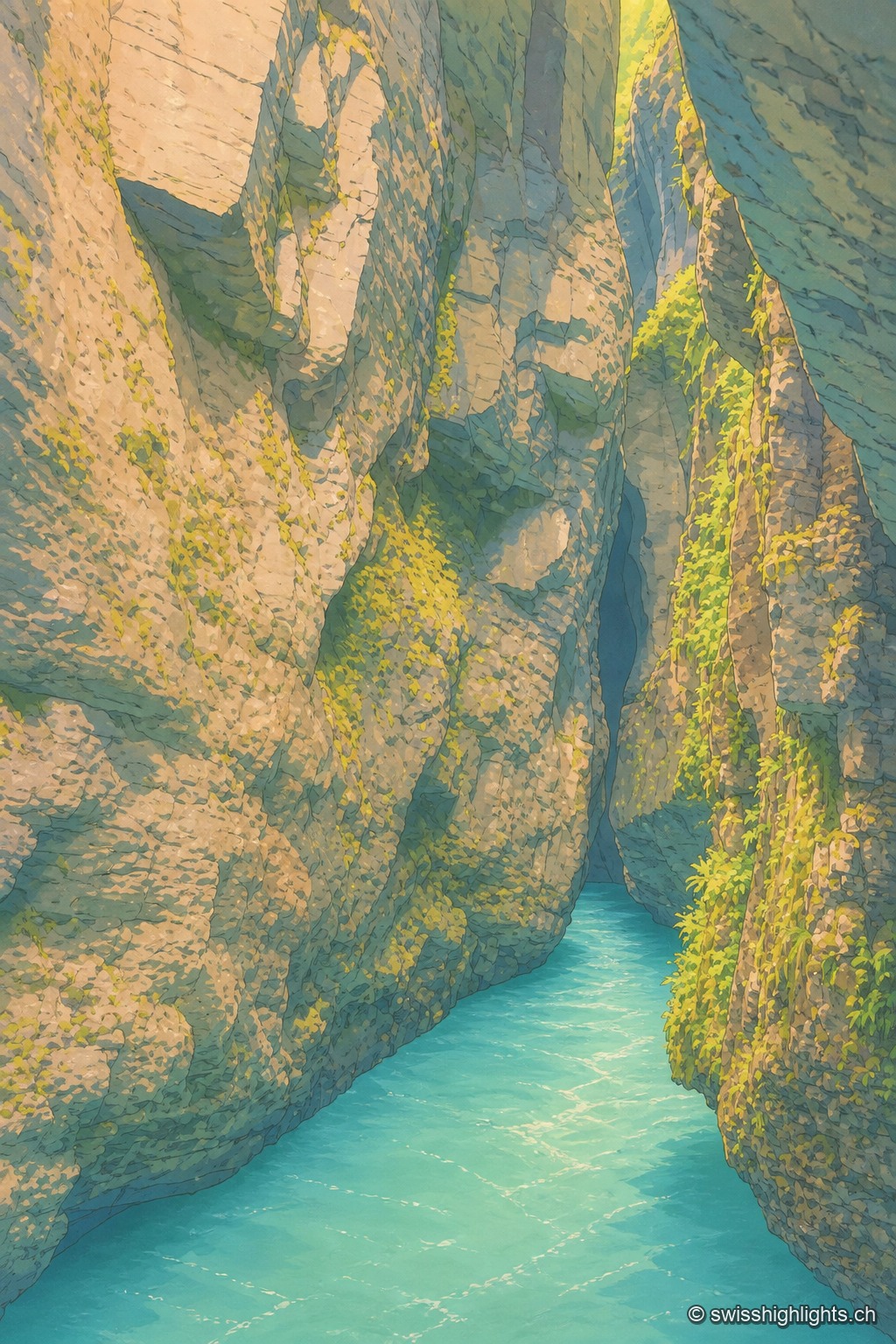
Vertical view at water level, turquoise water filling the entire bottom of the frame: the limestone walls of the gorge narrow into a dark, tight passage, mossy and covered with bright green ferns on the right, up to a black crevice at the very top, the only opening for light.

River gorge · Bernese Oberland

Aare Gorge

A path was opened to visitors here in 1888; electric lighting for night walks dates from 1912. 1,400 metres long, the gorge reaches 180 metres deep and narrows in places to 1 metre wide.
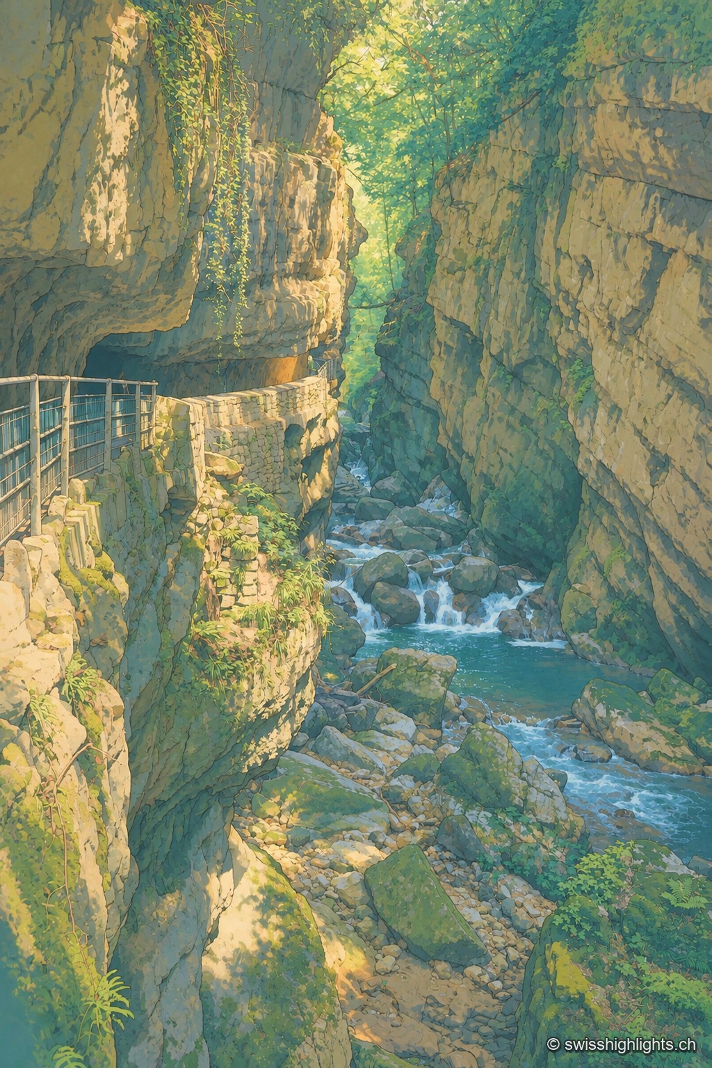
A metal walkway clings to the rock face of a narrow, wooded gorge, overlooking a turquoise torrent cascading between large boulders; the dark, moss-covered rock frames a break of light and green foliage at the top of the frame.

Limestone gorge · Biel, Bern

Gorges de la Suze

A footpath was laid out there in 1889; the gorge was placed under partial nature protection from 1927. The name Taubenloch, attested since 1532, remains of uncertain origin despite several competing explanations.
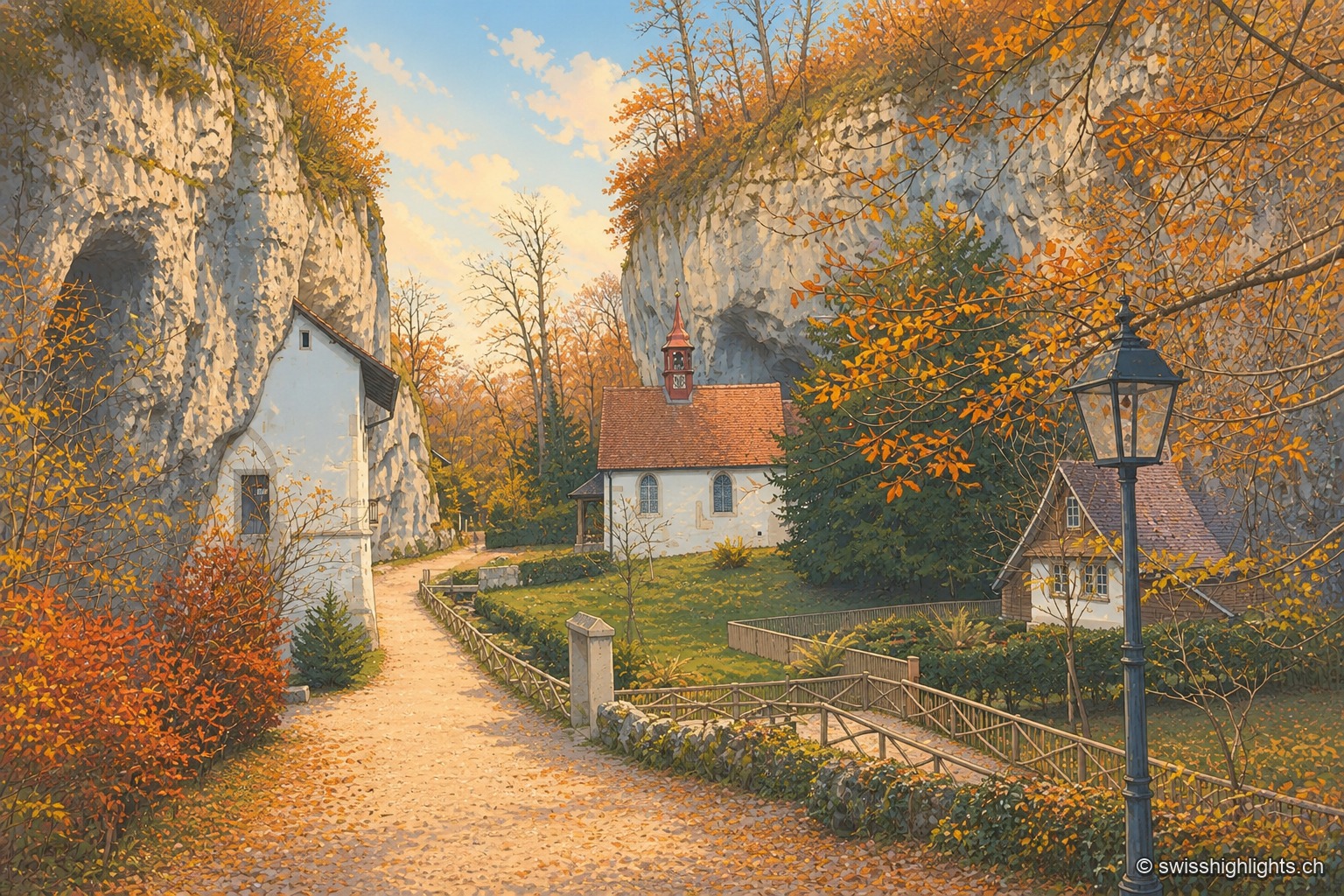
The autumn path leading to the hermitage of Saint Verena winds between two limestone walls pierced with small caves, beneath a canopy of russet and golden foliage; in the background, the white chapel with its red bell turret nestles against the rock, surrounded by a fenced garden and an old-fashioned street lamp.

Gorge hermitage · Solothurn

Gorges de Sainte-Vérène

Landscaped as a Romantic garden in the late 18th century by the French diplomat Louis Auguste Le Tonnelier de Breteuil, the gorge is ISOS-listed, and its hermitage is a class A Swiss cultural property.
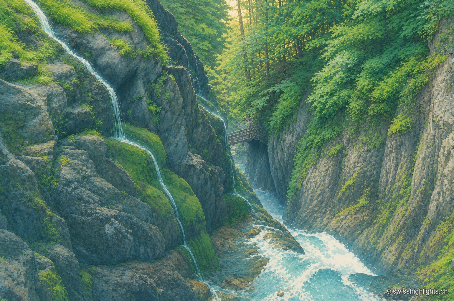
In the Durnand gorges, several streams of water trickle down a mossy rock face on the left, while a wider waterfall pours into the torrent bed in the center; on the right, the wooden footbridge of the trail follows the rock under a canopy of foliage pierced by light.

Alpine gorge · Bovernier, Valais

Gorges du Durnand

Fed by the Arpette and Gurriaz glaciers, the Durnand cuts through the rock between the Pointe Ronde and the Catogne. A trail opened in 1877, renovated in 1987, follows its fourteen waterfalls near Martigny.
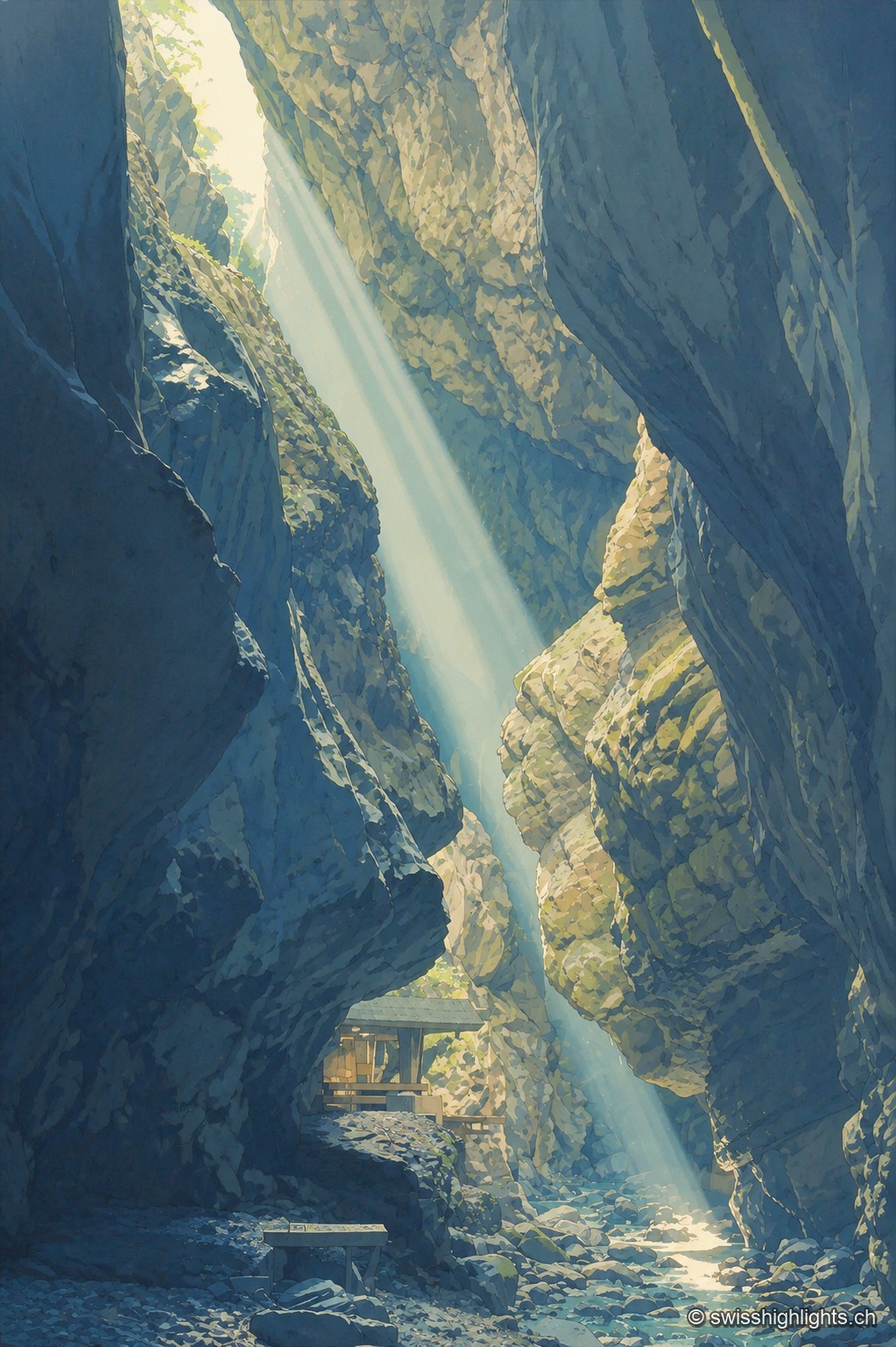
A ray of light falls almost vertically between the tall dark walls of the Tamina Gorge, lighting up the mossy rock face and the pebbly bed of the torrent; a small wooden shelter is tucked onto a ledge at the foot of the fissure.

Limestone gorge · St. Gallen

Gorges de la Tamina

Between Pfäfers and Bad Ragaz, the Tamina carved an 8.4 km gorge over 15,000 years, spanned by natural rock bridges; at its head, a 36.6°C spring, tapped since 1350, now feeds the baths of Bad Ragaz.
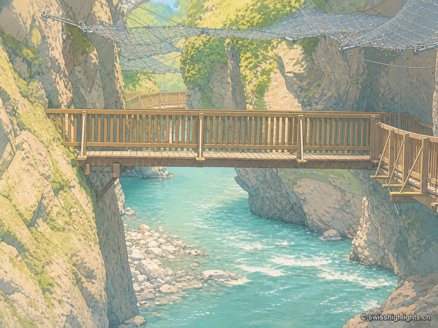
Wooden footbridge with a railing crossing the Trient Gorges above bright turquoise water, between two mossy rock walls; in the background, another footbridge and a safety net stretched above the gorge.

Alpine gorge · Valais

Gorges du Trient

Between the communes of Salvan, Vernayaz and Martigny, the Trient has carved a 2 km gorge through rock combining moraine deposits, amphibolite, limestone and schist; two bridges mark the trail that follows it to the Pissevache waterfall.
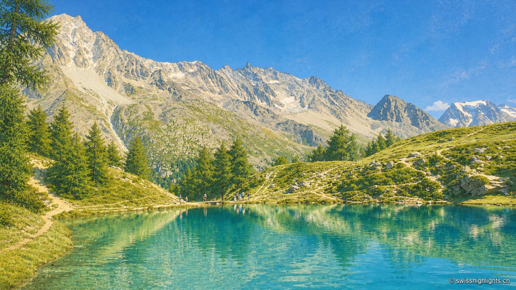
A mountain lake with turquoise, transparent, still waters, reflecting a jagged rock face streaked with snowfields under a clear blue sky. On the near shore, a few larch trees and a dirt path run alongside the water; small silhouettes of hikers stand at the edge, giving scale to the landscape.

Mountain lake · Valais

Lac Bleu d'Arolla

Ringed by larches and Swiss stone pines at the place called Le Louché, the lake is fed by an inflow rising 10 metres upstream; its outflow reaches the Borgne d'Arolla via the Aiguilles Rouges torrent, after about 280 metres.
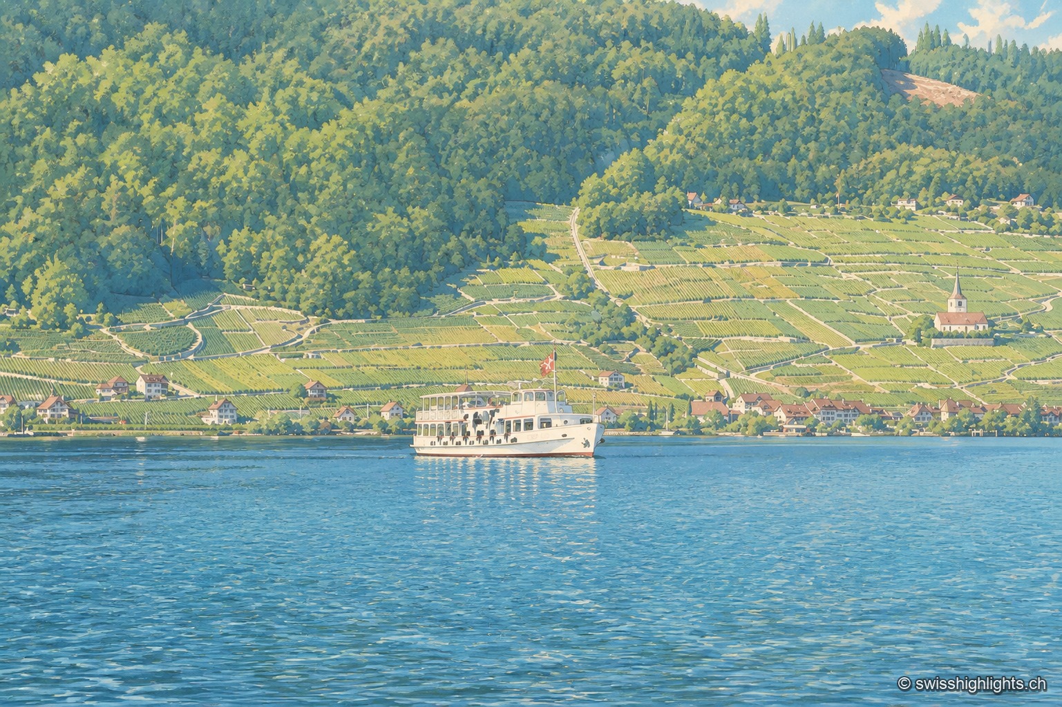
The north shore of Lake Biel seen from the water: a slope entirely planted with terraced vineyards, turning yellow, descends to the red-roofed houses along the shore; a small white church stands out on the right, dark forest closes off the top of the hillside. On the green-blue lake, a white two-deck boat with a Swiss flag at the stern skirts the shore; the foreground is occupied by smooth, gently rippled water.

Lake at the foot of the Jura · Bern

Lake Biel

39.3 km² of surface, 74 metres at its deepest, a catchment of 8,305 km² fed mainly by the Aare since 1878: Lake Biel is a landscape doubling as a piece of hydraulic engineering.
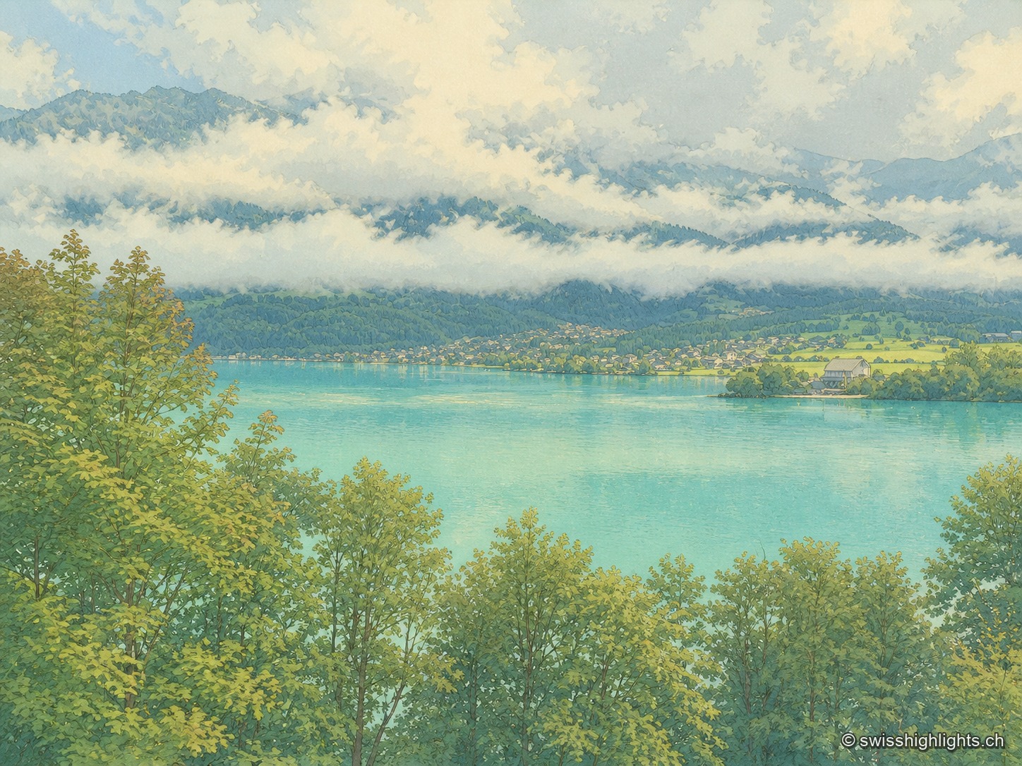
High-angle view over the lake from a wooded slope: in the foreground, the tops of maples and ash trees frame the water; in the middle, a milky turquoise expanse crossed by a light-colored sandbank and a boat's wake; on the opposite shore, a village stretched along the water's edge with its vivid meadows; above, a long trail of white clouds resting midway up dark wooded slopes, under an overcast sky.

Glacial lake · Bern

Lake Brienz

No lake in Bern runs deeper. Its colour comes from the glacial milk the Aare and the two Lütschine unload into it — 300,000 tonnes of particles a year: near blue in winter, milky grey in high August.
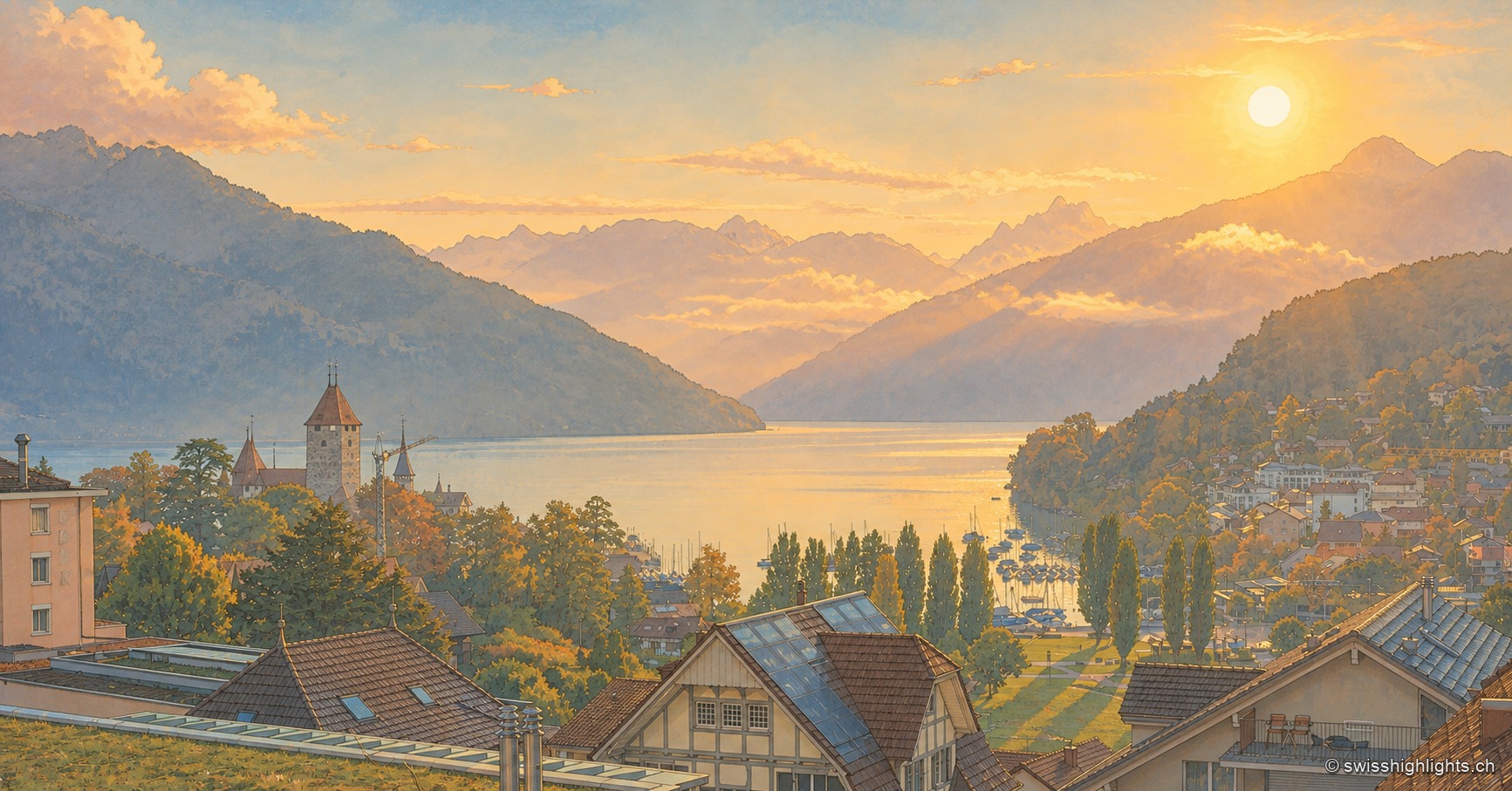
View from the heights of Spiez in the early morning: the rising sun sets the sky and clouds ablaze in orange hues above the mountains, while the castle tower and church steeple stand out among the trees, overlooking the marina and the village rooftops stretching along the shore of Lake Thun.

Alpine lake · Bernese Oberland

Lake Thun

Fed by the Kander and 18 km long, Lake Thun carries the castles of Spiez and Oberhofen on its shores. Between 1945 and 1964 the army sank up to 4,600 tonnes of munitions into it, whose effect on the lake's fish remains unexplained.
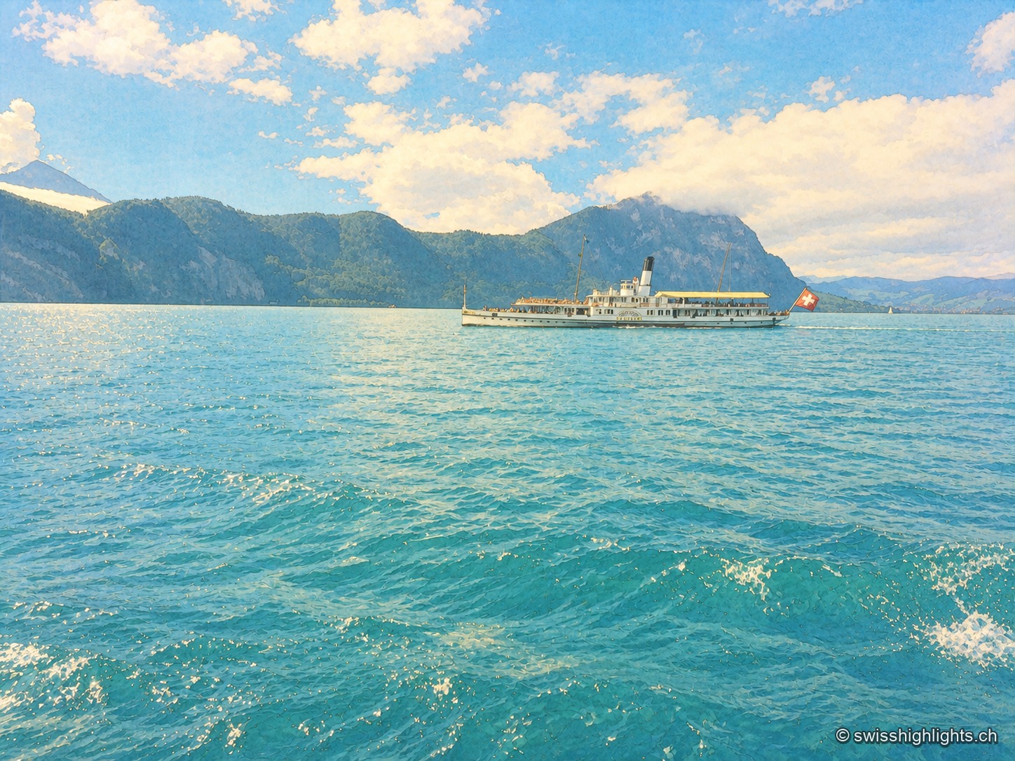
Close-up view of Lake Lucerne: a historic paddle-wheel steamboat, with a Swiss flag at the stern, crosses the lake between wooded mountains, while turquoise waves fill the entire foreground under a blue sky dotted with white clouds.

Glacial lake · Central Switzerland

Lake Lucerne

The lake covers 114 km² at 434 metres above sea level and drops to 214 metres. Its basins change direction at every narrows, below the Pilatus at 2,129 metres and the Rigi at 1,798 metres.
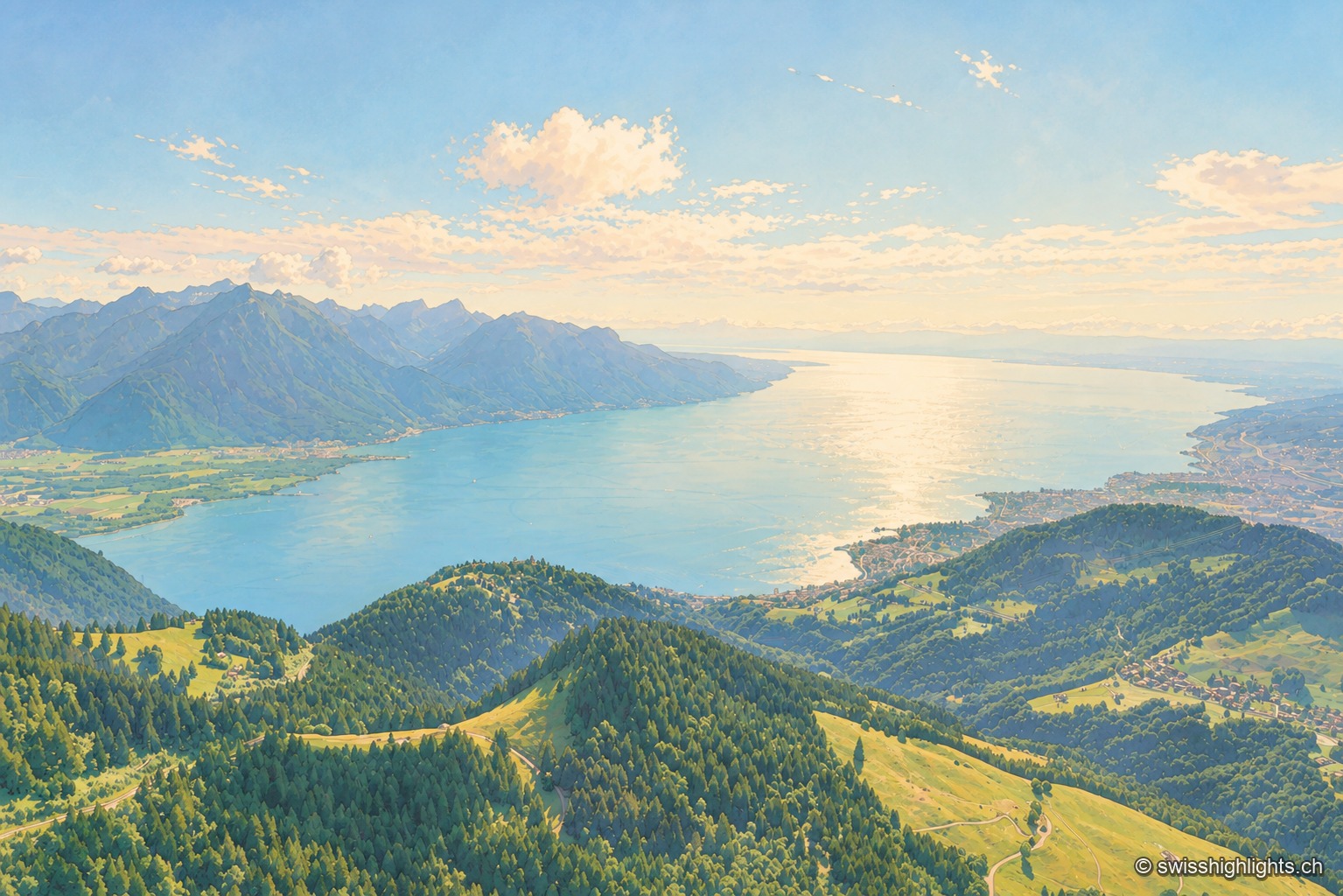
High-angle view over the upper lake from the heights of the north shore: in the foreground, wooded ridges and alpine meadows descend toward the shoreline, Lake Geneva's expanse stretches toward the horizon, growing lighter in the backlight, and the Prealps chain closes off the far shore in a blue haze, under a summer sky heavy with cumulus clouds.

Glacial lake · Vaud, Geneva, Valais

Lake Geneva

72.8 km long and 309.7 m deep, Lake Geneva draws 75% of its inflow from the Rhône. The northern shore is Swiss, the southern shore French, and the border runs through the water.
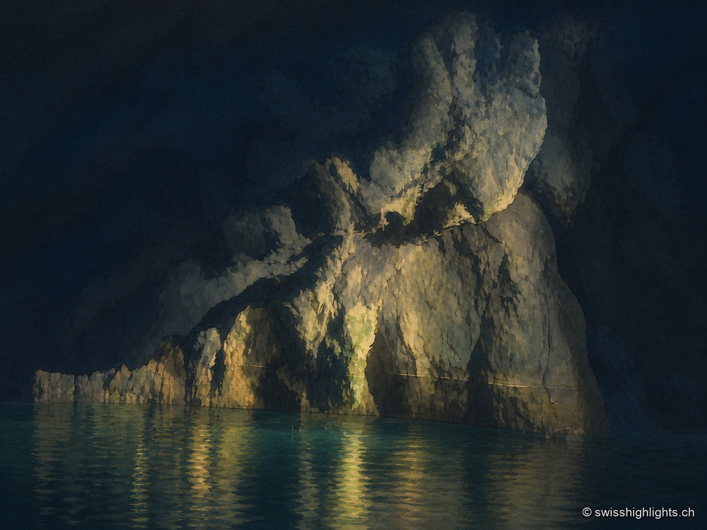
View taken at water level inside the cave. A mass of limestone occupies the right half of the frame and plunges into the lake; its folded surface, veined with pale flowstone, is caught in raking light from below, while the top of the vault fades into darkness. On the left, the wall slopes down into a long dark ridge above a fringe of pale turquoise water. Below, the still water reflects the lit rock in blurred vertical reflections.

Underground lake · Valais

Saint-Léonard Underground Lake

The lake fills only part of a cavity 1,400 metres long; a rockfall closes the rest. The 1946 earthquake lowered its level, and access, closed in 2000, reopened only in 2002 after consolidation.
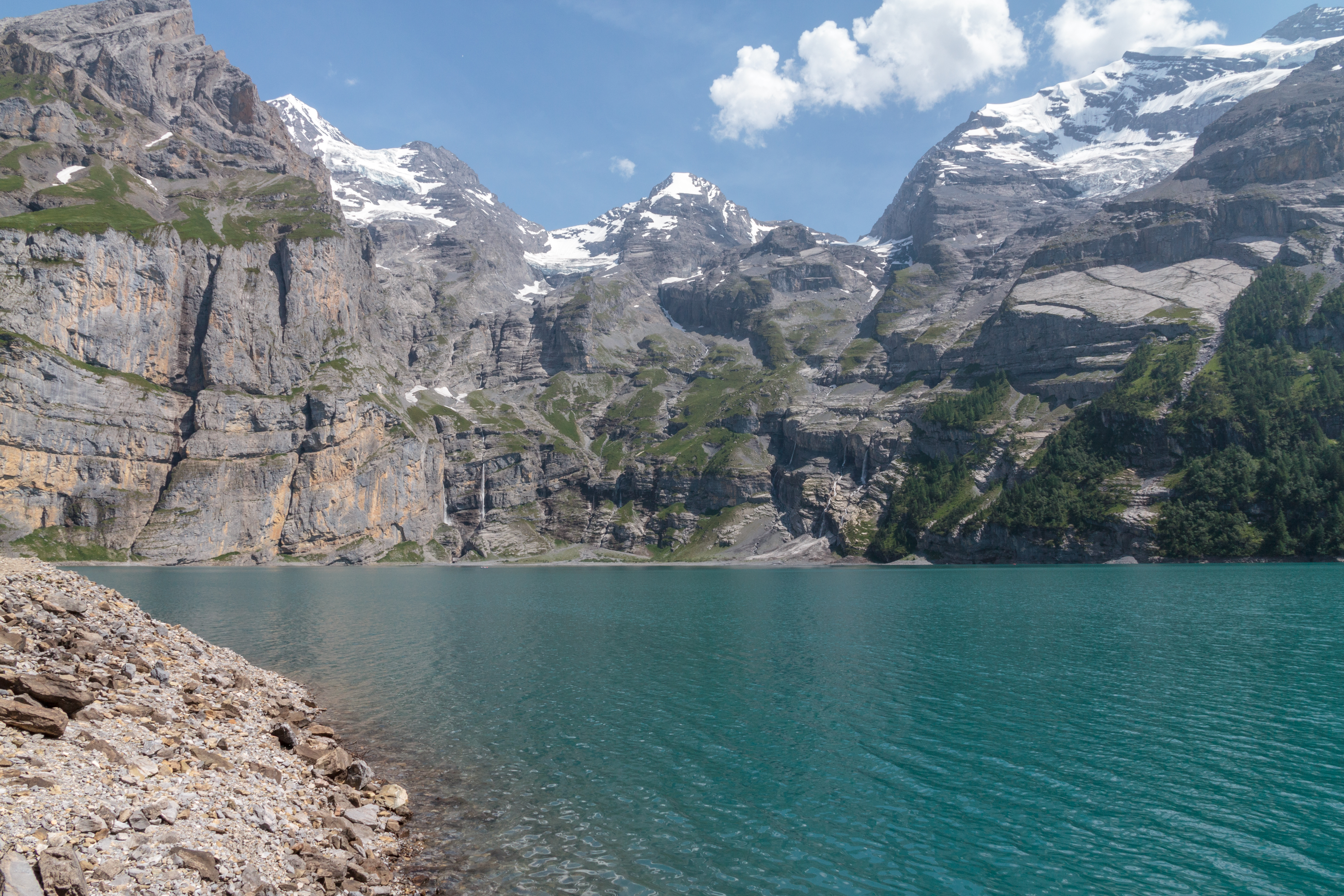
The turquoise waters of Lake Oeschinen hemmed in by high limestone walls streaked with snow patches, seen from a fir-wooded promontory, under a changeable sky.

High-altitude lake · Bernese Oberland

Oeschinensee

A lake of 1.1 square kilometres held at 1578 metres by rock masses fallen from the Fründenhorn and the Doldenhorn, with no surface outflow, at the western edge of the UNESCO property Swiss Alps Jungfrau-Aletsch.
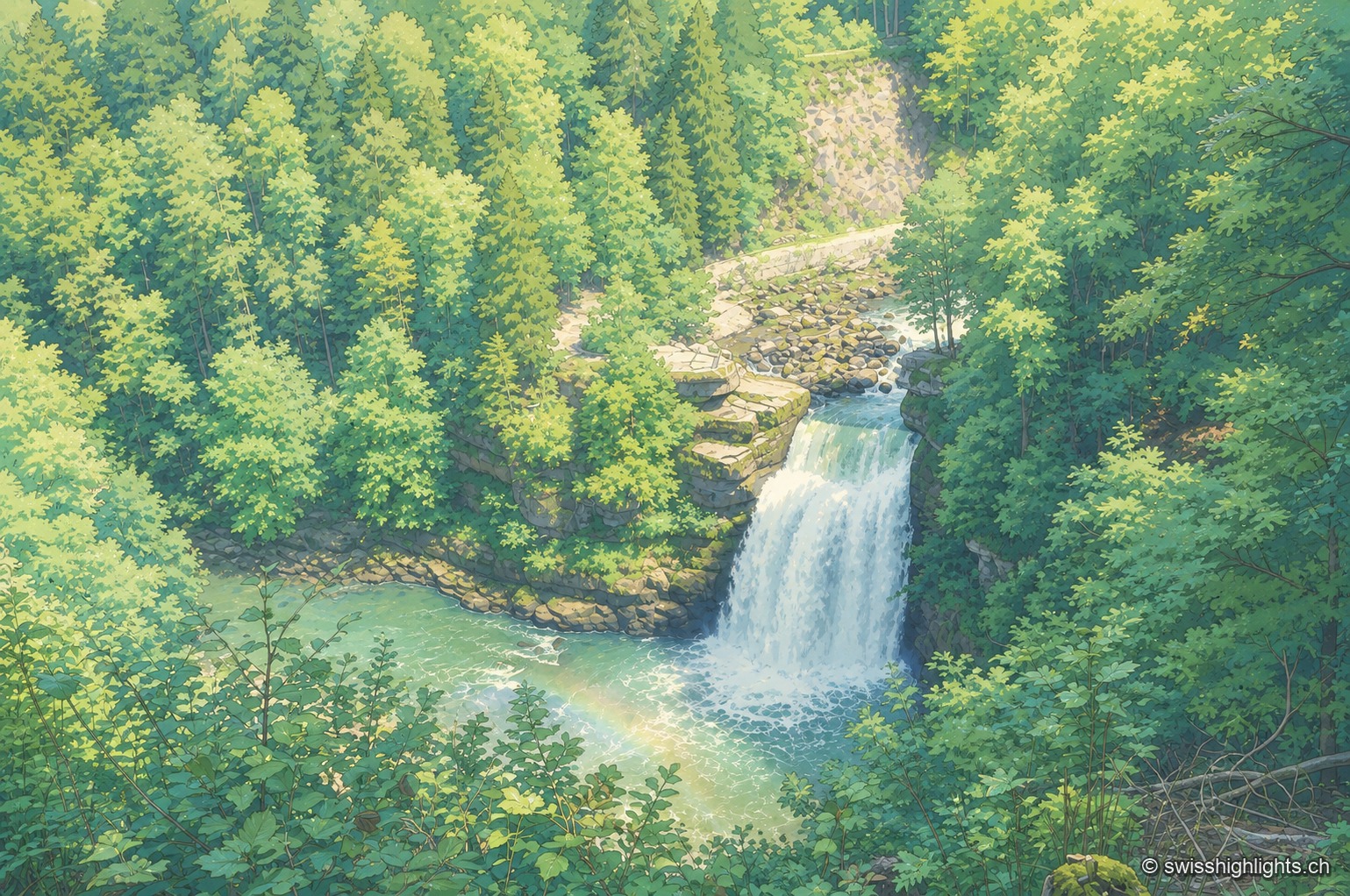
Classic elevated view of the Saut du Doubs, surrounded by dense forest: the Doubs plunges from a cliff in a white sheet of water, a rainbow forms in the spray at the foot of the falls, and two visitors stand on the observation platform to the right.

Cross-border waterfall · Neuchâtel Jura

Saut du Doubs

The landslide that created the falls, some 12,000 years ago, also formed a 15-km natural reservoir, of which the 3.7-km Lac des Brenets is the remnant. The natural dam is not watertight: 3 m³ of water escapes through it every second.
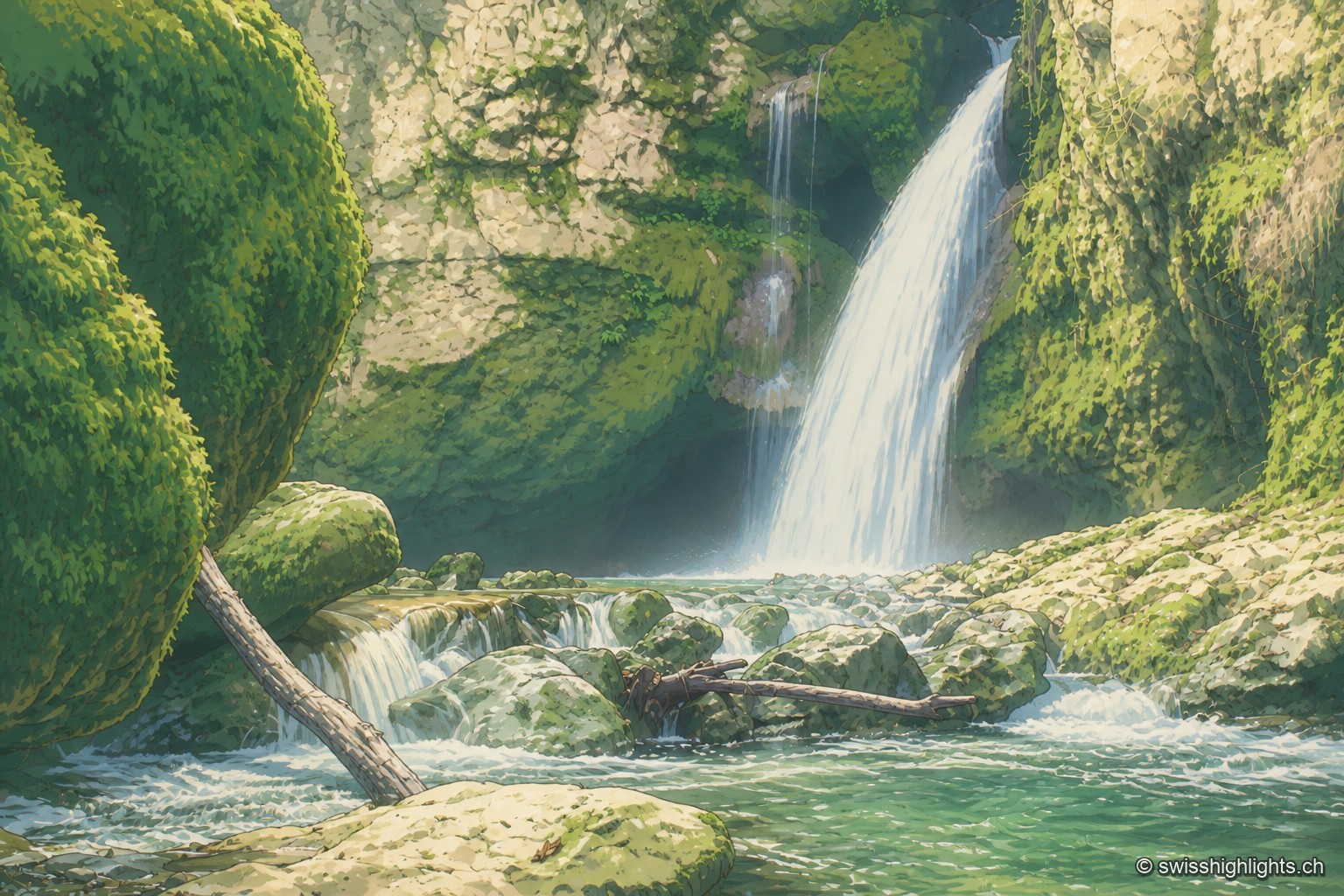
The Tine de Conflens waterfall pours down between moss-covered walls, in the hollow of a deep-cut cirque where the white water stands out sharply against the rock and dark vegetation.

Rock cirque · Vaud Jura

Tine de Conflens

Named after a Vaud patois phrase meaning 'confluence falls', the Tine de Conflens brings together two waterfalls: the Veyron's and the Venoge's, which it swells. A steep but maintained path leads to their foot.