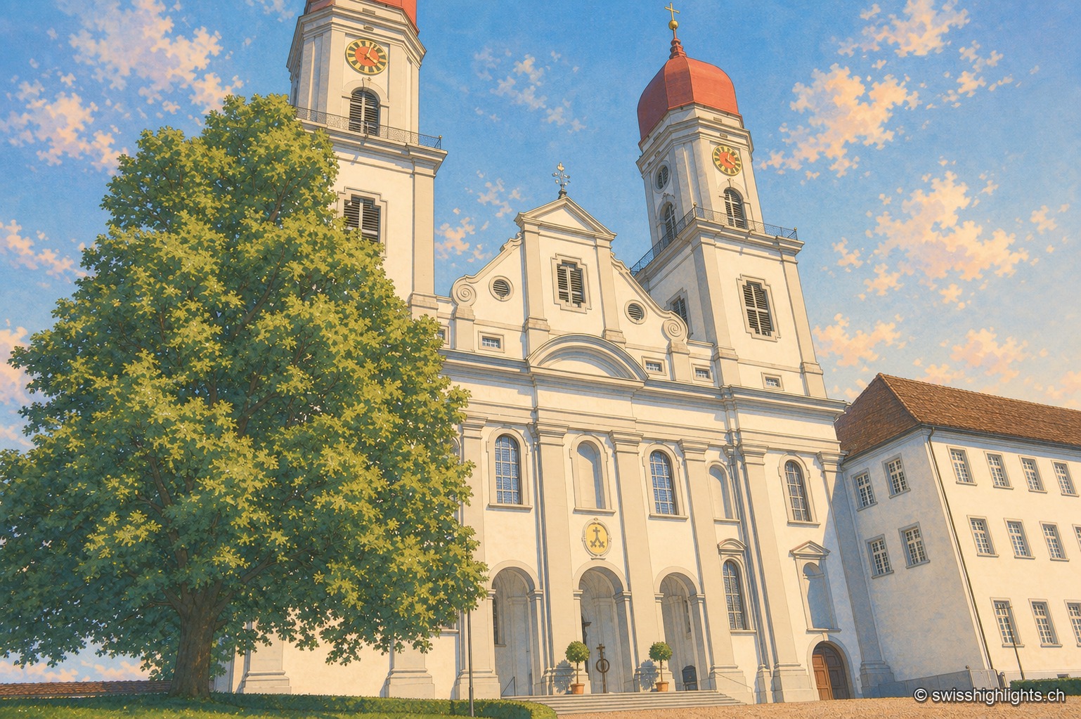
Former abbey · Lucerne
Saint Urban's Abbey
Its choir stalls of 1700-1707 were sold as far as Scotland before being bought back in 1911 and reinstalled. Since 1873 the former monastery has housed a cantonal psychiatric institution.
Tourist regions
25 places referenced, across Lucerne, Uri, Schwyz, Obwalden, Nidwalden, Zug.
An editorial grouping by Swiss Highlights, not an official administrative division.
Family suggestions
Couple suggestions
Former abbey · Lucerne
Its choir stalls of 1700-1707 were sold as far as Scotland before being bought back in 1911 and reinstalled. Since 1873 the former monastery has housed a cantonal psychiatric institution.
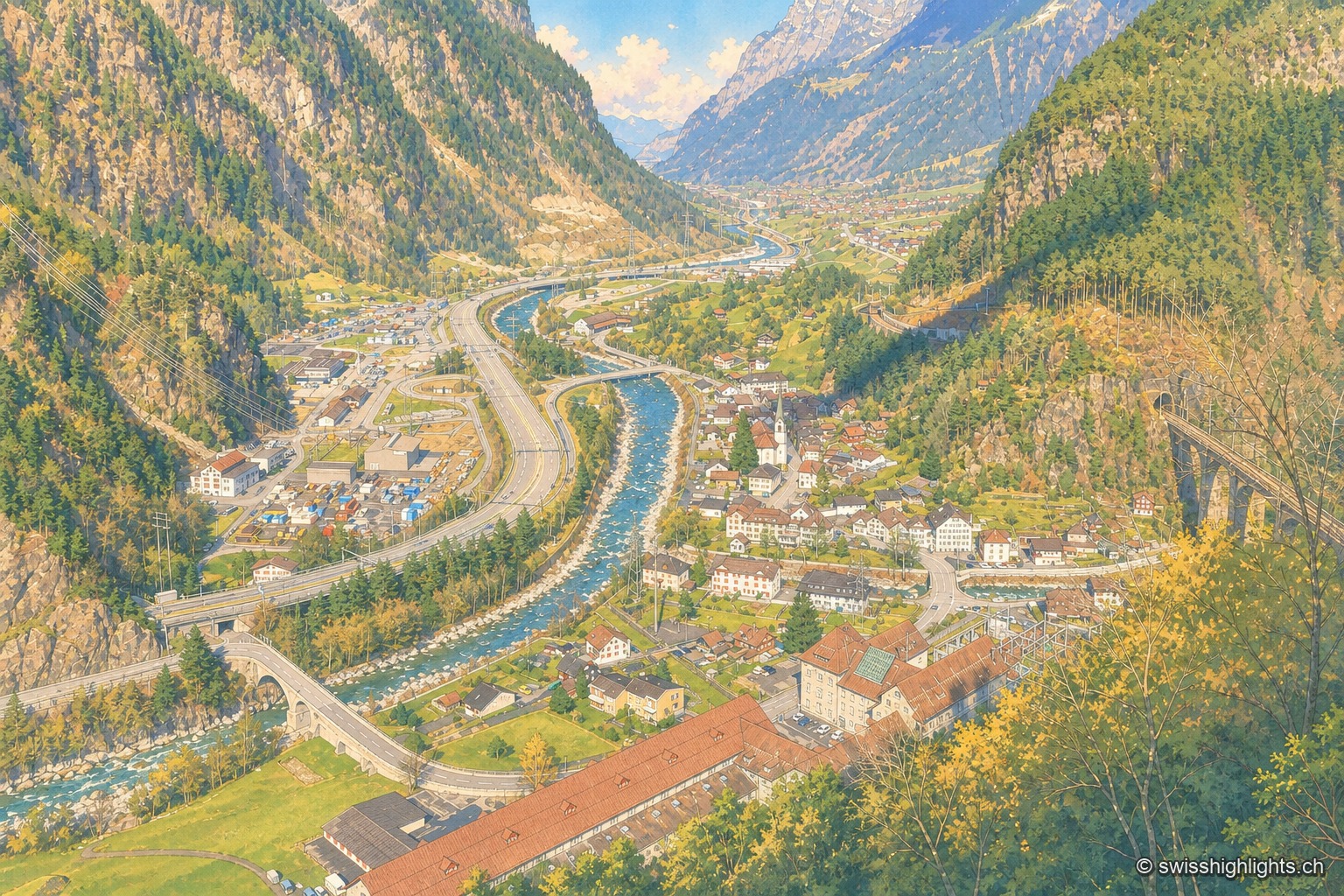
Transit village · Uri
A staging post in the 18th century, ruined by the coming of the railway, revived in the 20th by hydroelectricity: the power station of 1922 was replaced in 1998 by a plant cut inside the mountain.
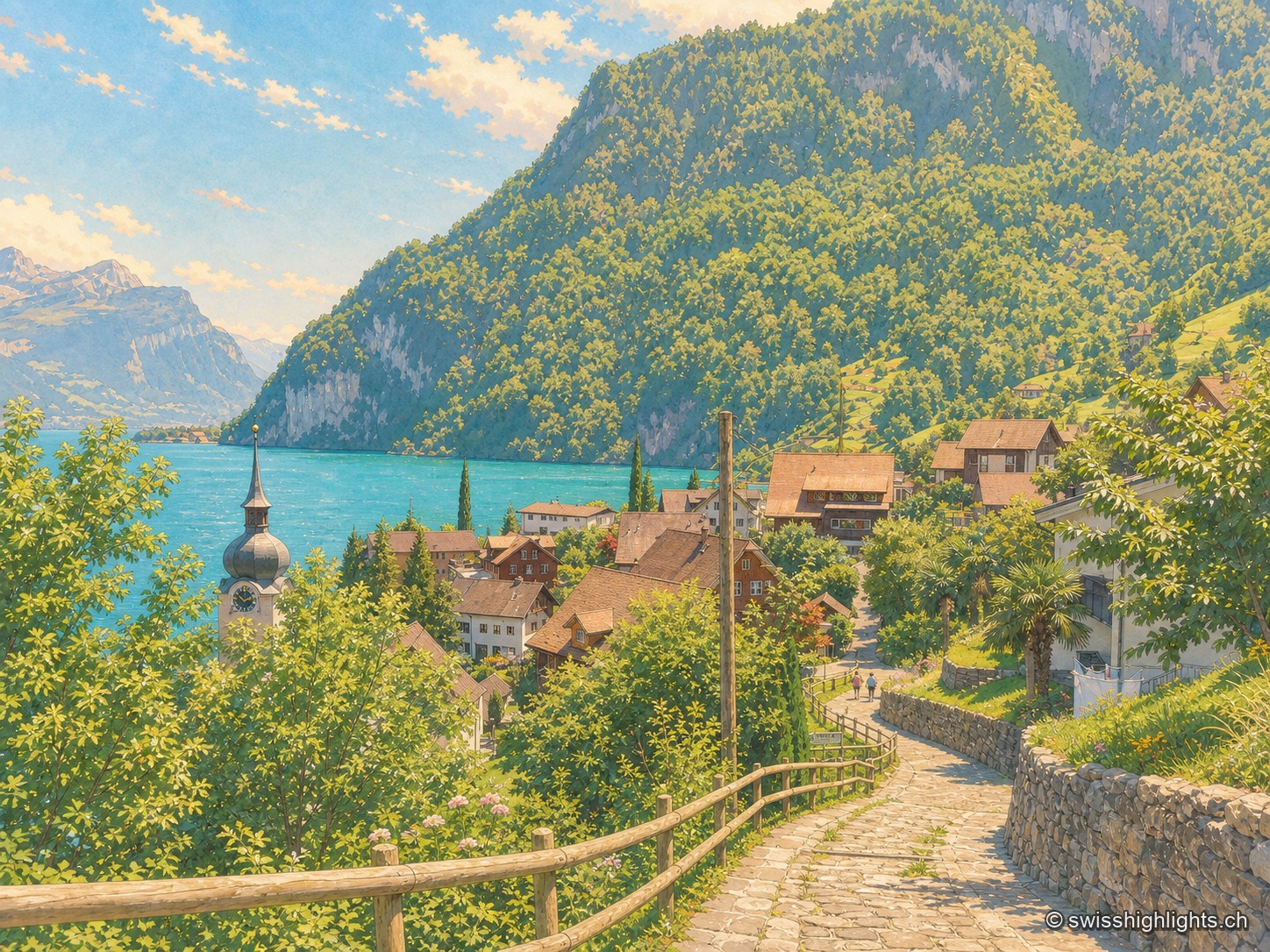
Lakeshore, Nobel's factory, anthem
On the west shore of Lake Uri, at the foot of the Bauenstöcke, the mild climate (figs, palm trees) contrasts with the industrial history of neighbouring Isleten, where Nobel produced dynamite and later blasting gelatin until 2003.
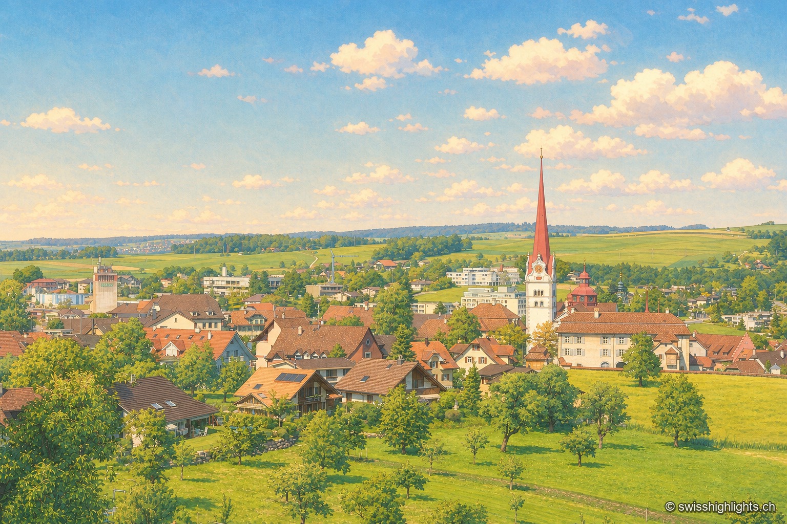
Collegiate town · Lucerne
Two centres, the market Flecken and the canons' Stift, at 642 metres. Helias Helye finished the first dated book printed in Switzerland here on 10 November 1470; the transmitter that gave the place its present name fell silent in 2008.
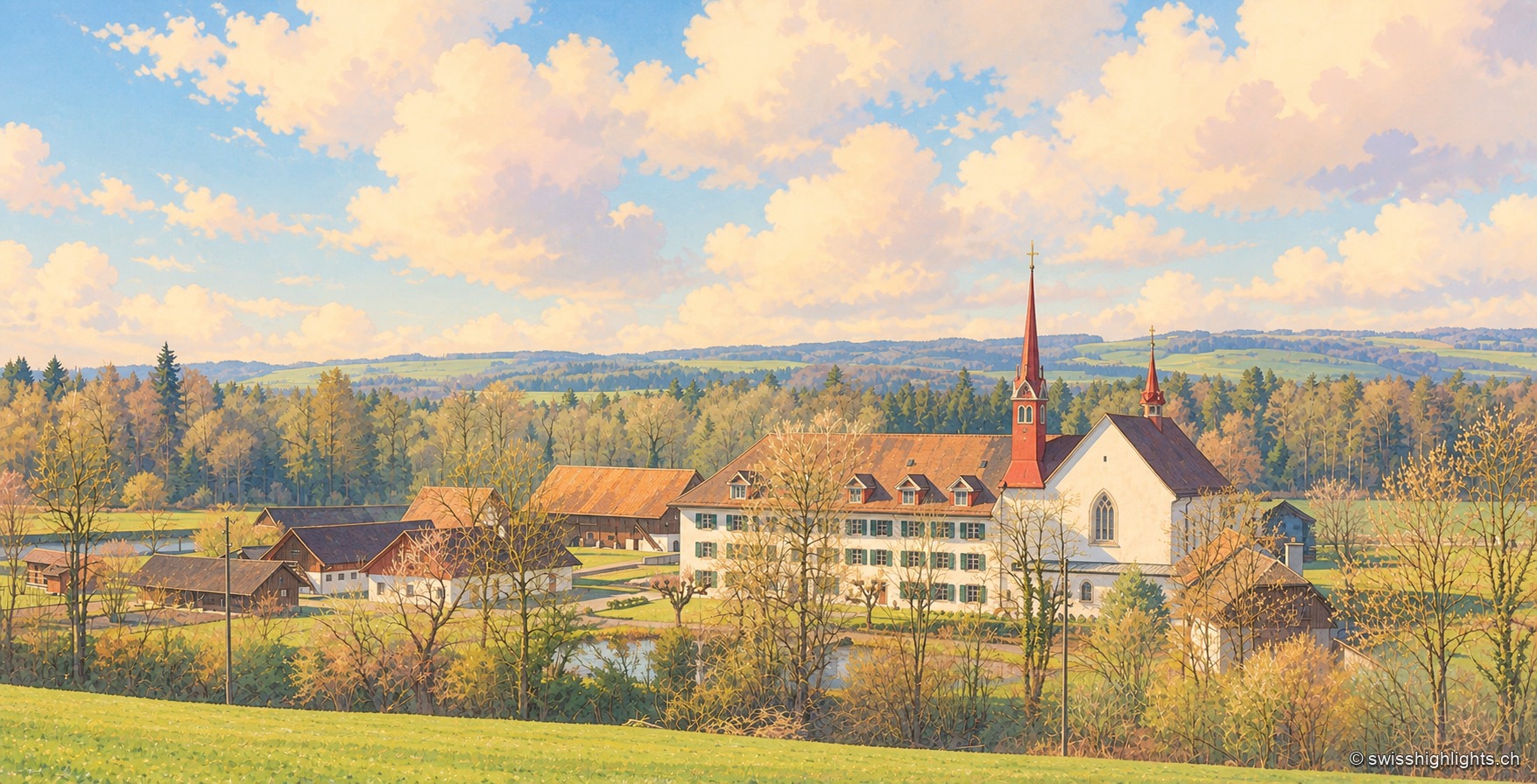
Cistercian abbey · Zug
Traditionally founded in 1231, with no surviving charter, the abbey went through the 1528 Reformation before being restored by Abbess Anna von Fulach in 1552. Since 2021 it has been a civil-law foundation, still home to a community of nuns.
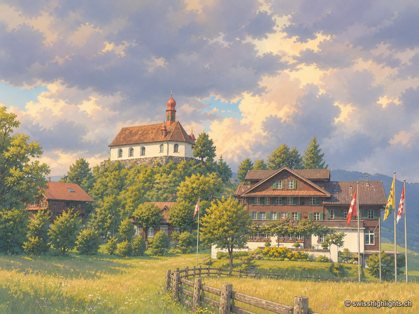
Pilgrimage village · Obwalden
Niklaus von Flüe (1417-1487) withdraws to the Ranft in 1467. The upper chapel is consecrated in 1469, the lower chapel built in 1501. Canonised on 15 May 1947 under Pius XII, he gave his name to the village, called only Flüeli until 1966.
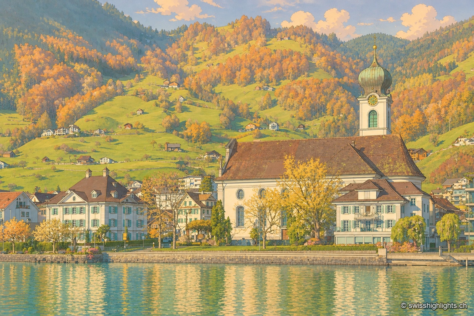
Former republic · Schwyz
Gersau was a sovereign republic from 1390 to 1817, recognised by Emperor Sigismund in 1433; sheltered by the Rigi on Lake Lucerne, it keeps its mild climate and its church of St Marzellus, attested from 1179.
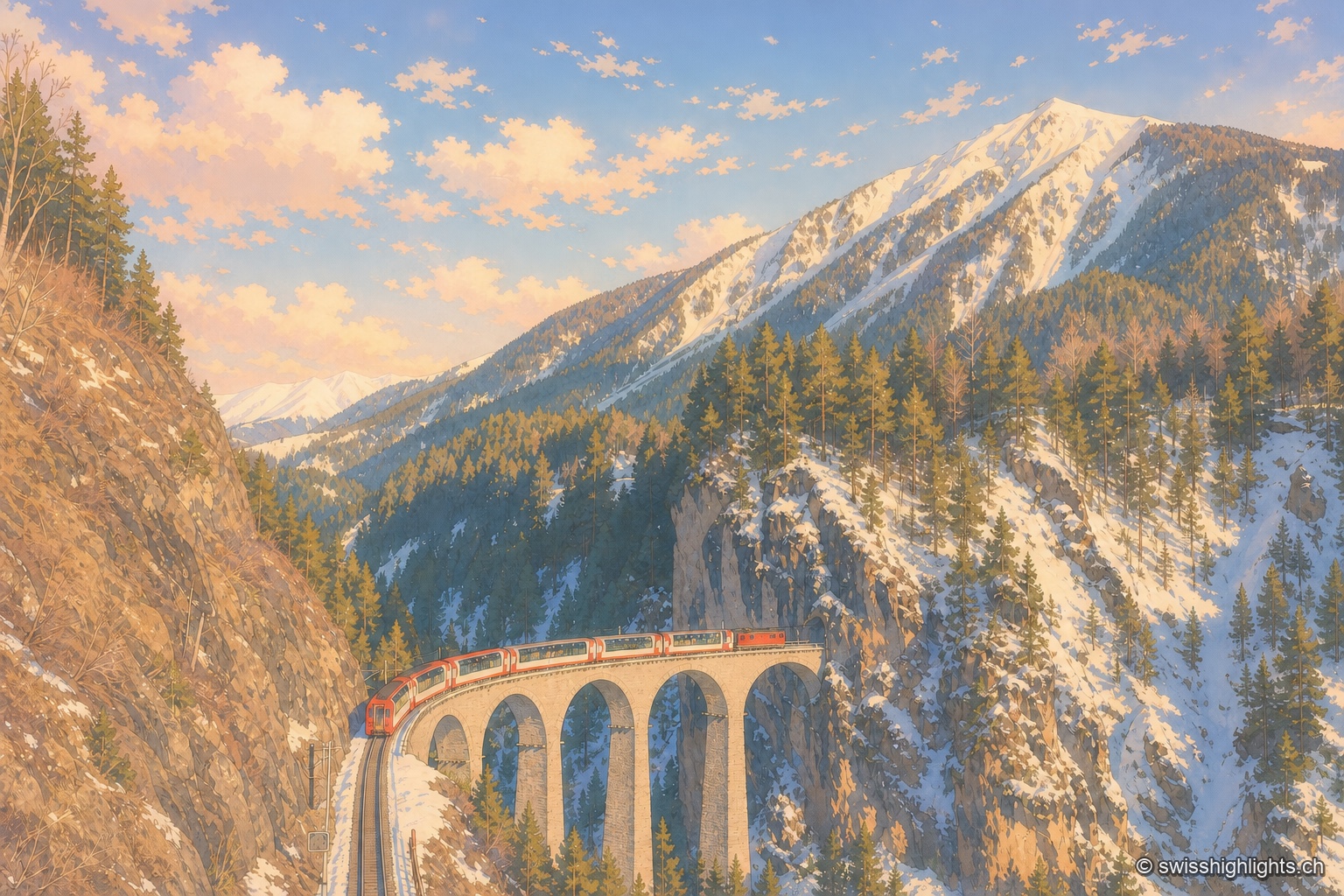
Railway line · Valais–Graubünden
The train crosses 291 bridges and 91 tunnels over 291 kilometres of metre-gauge track, climbs to the Oberalp Pass at 2,033 metres and drops again to Chur, at 585 metres, its lowest point.
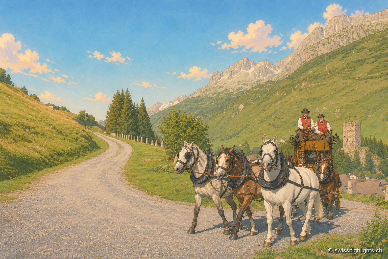
Gotthard village · Uri
182 inhabitants, a 13th-century tower emptied of its floors, timber houses rebuilt after the fire of 1669: Hospental stands where two torrents meet to become the Reuss.
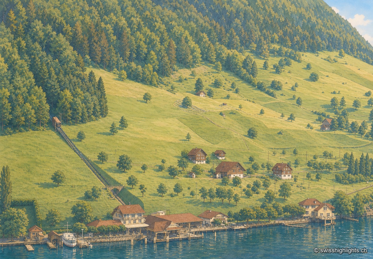
Lakeside village · Nidwalden
The village, at 483 m and with its own postal code (6365), had several lakeside hotels in the 1950s — the Baumgarten, the Seeblick, the Wilhelm Tell — documented by ETH-Bibliothek aerial photographs.
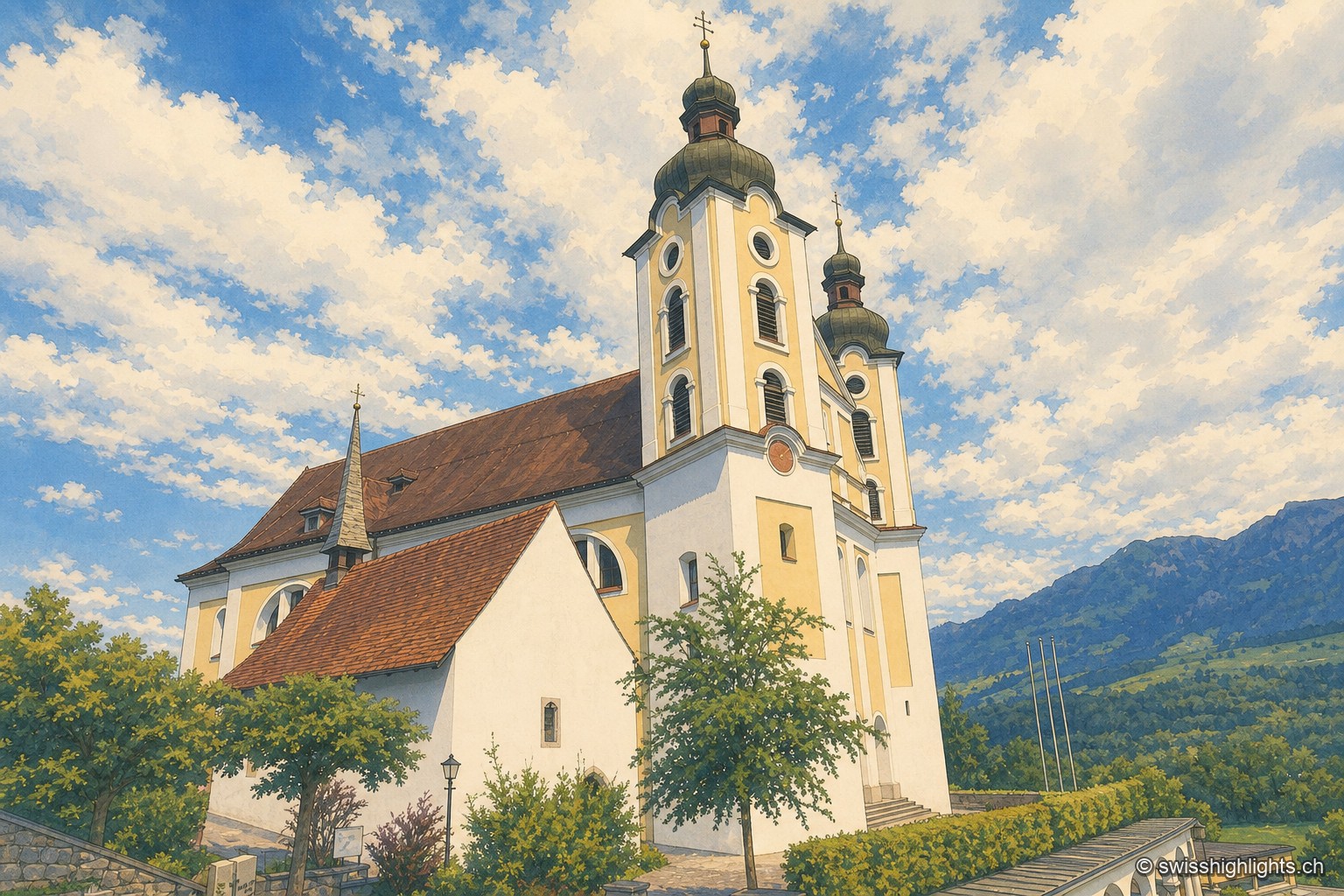
Historic quarter · Obwalden
A mill first recorded in 1534 still turns here as a restaurant; Count Ulrich von Lenzburg had ceded his rights over Sarnen's church and over the "Unterer Hof" to Beromünster monastery, and that estate's name later gave the quarter its own.
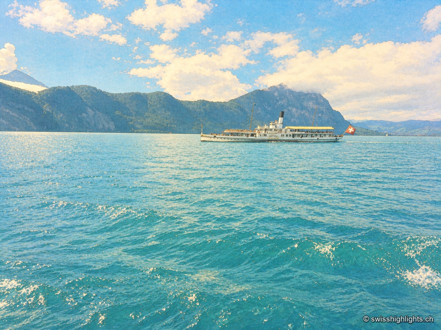
Glacial lake · Central Switzerland
The lake covers 114 km² at 434 metres above sea level and drops to 214 metres. Its basins change direction at every narrows, below the Pilatus at 2,129 metres and the Rigi at 1,798 metres.
Glacial lake · Central Switzerland
The lake covers 114 km² at 434 metres above sea level and drops to 214 metres. Its basins change direction at every narrows, below the Pilatus at 2,129 metres and the Rigi at 1,798 metres.
Glacial lake · Central Switzerland
The lake covers 114 km² at 434 metres above sea level and drops to 214 metres. Its basins change direction at every narrows, below the Pilatus at 2,129 metres and the Rigi at 1,798 metres.
Glacial lake · Central Switzerland
The lake covers 114 km² at 434 metres above sea level and drops to 214 metres. Its basins change direction at every narrows, below the Pilatus at 2,129 metres and the Rigi at 1,798 metres.
Glacial lake · Central Switzerland
The lake covers 114 km² at 434 metres above sea level and drops to 214 metres. Its basins change direction at every narrows, below the Pilatus at 2,129 metres and the Rigi at 1,798 metres.
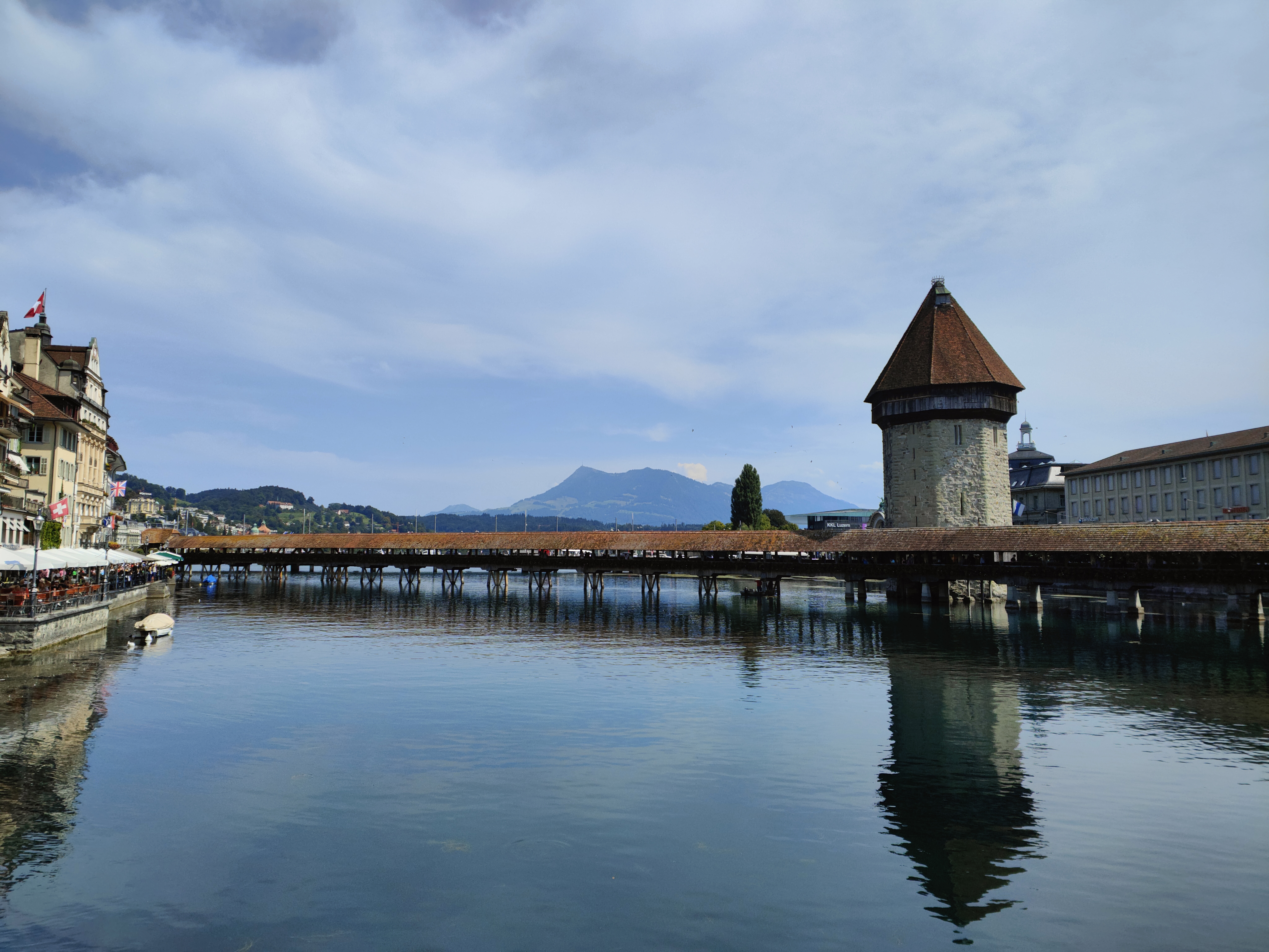
Old town and covered bridge · Lucerne
It joined the Confederation in 1332, before any other town; along the Reuss, Lucerne lines up a wooden bridge of 1333, an octagonal water tower older than the bridge, and 870 metres of curtain wall with nine towers.
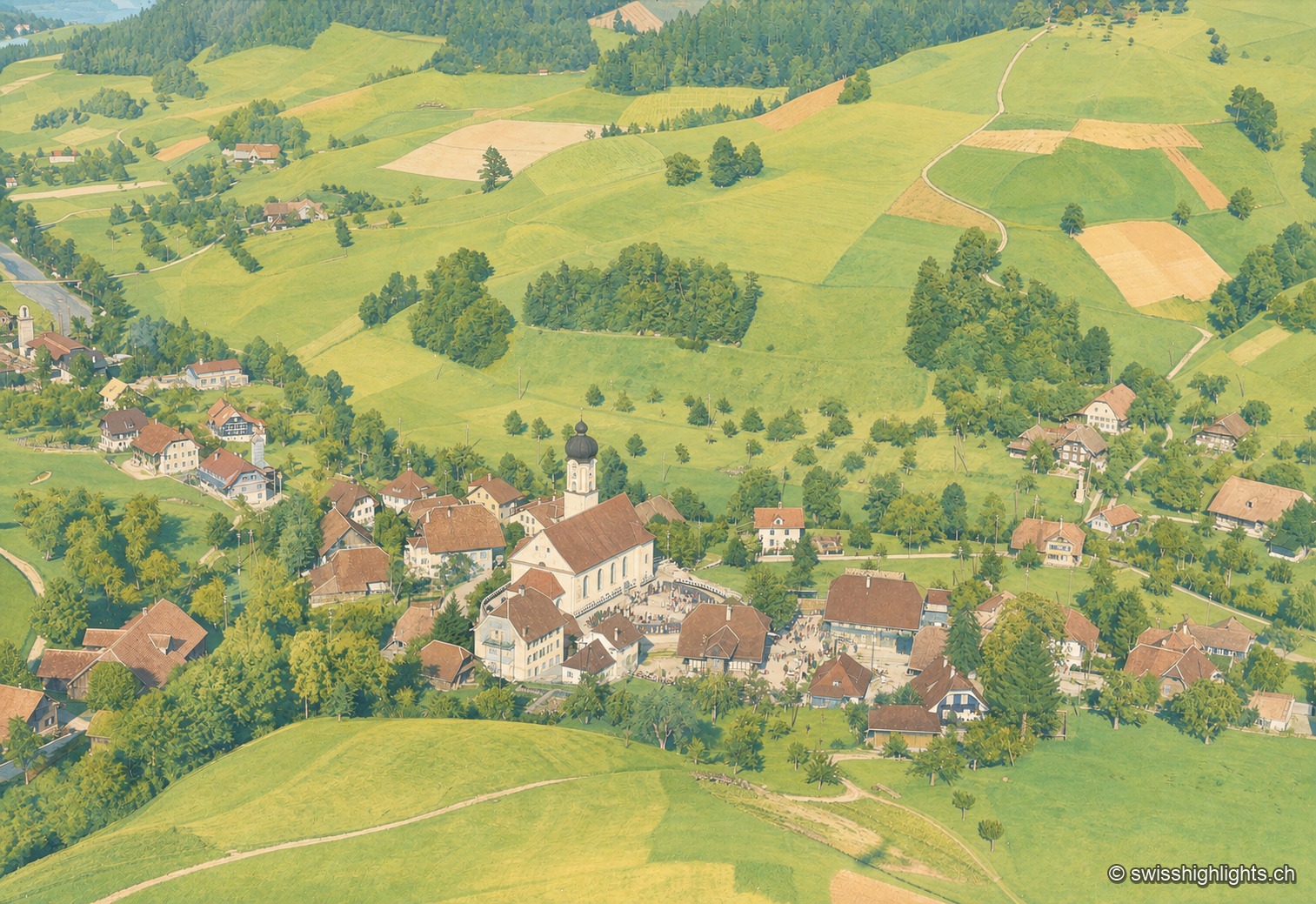
Pilgrimage village · Lucerne
The church of St Ulrich and the buildings around it form a core raised in one movement between 1752 and 1781. Four kilometres higher up, a spring and its chapel of 1583 still draw pilgrims.
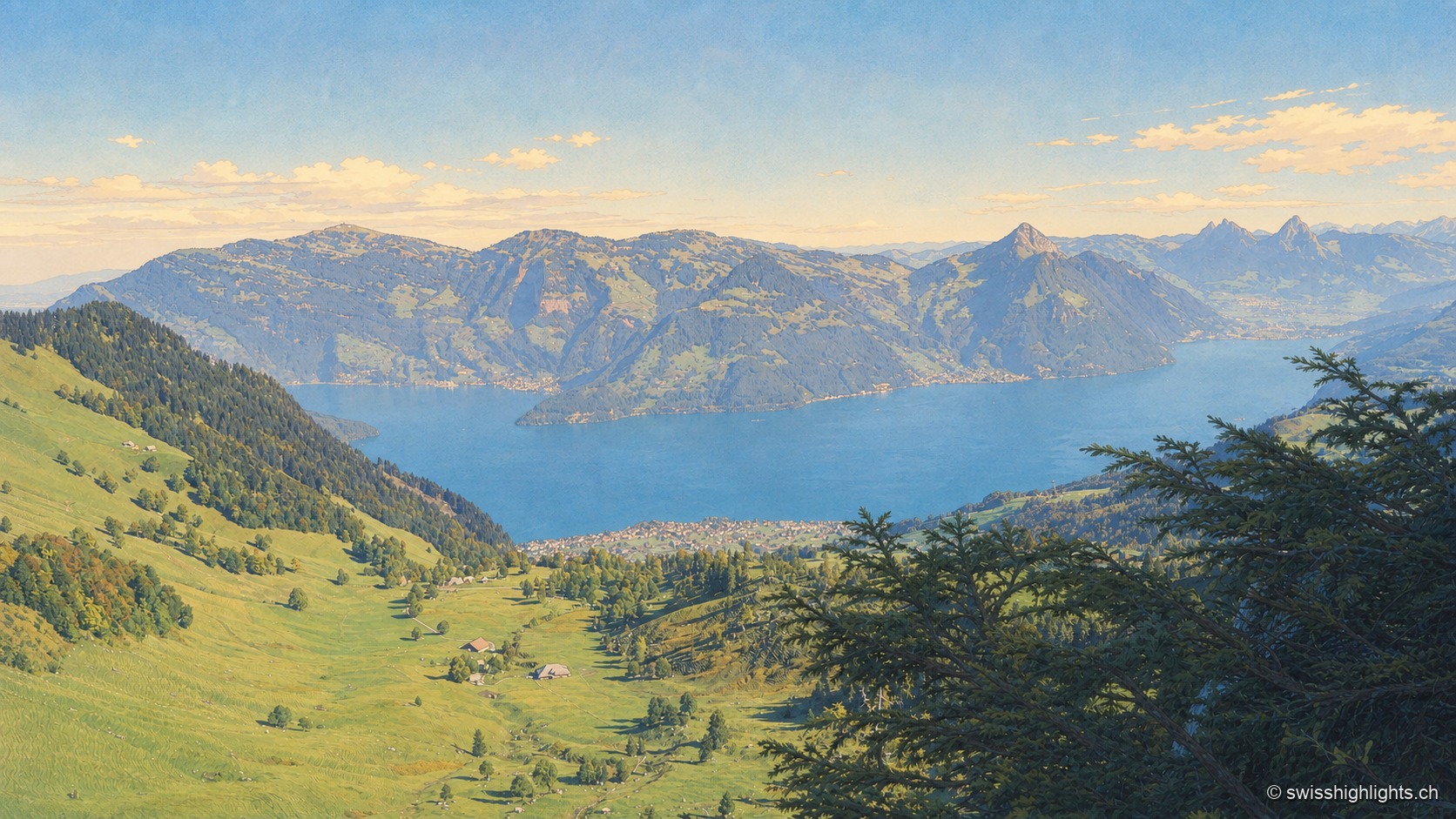
Mountain · Schwyz and Lucerne
Rigi Kulm stands at 1,797 metres above Lake Lucerne, Lake Zug and Lake Lauerz. The name comes from the bands of rock and grass that ring the summit; the rack railway has climbed it since 1871, the first in Europe.
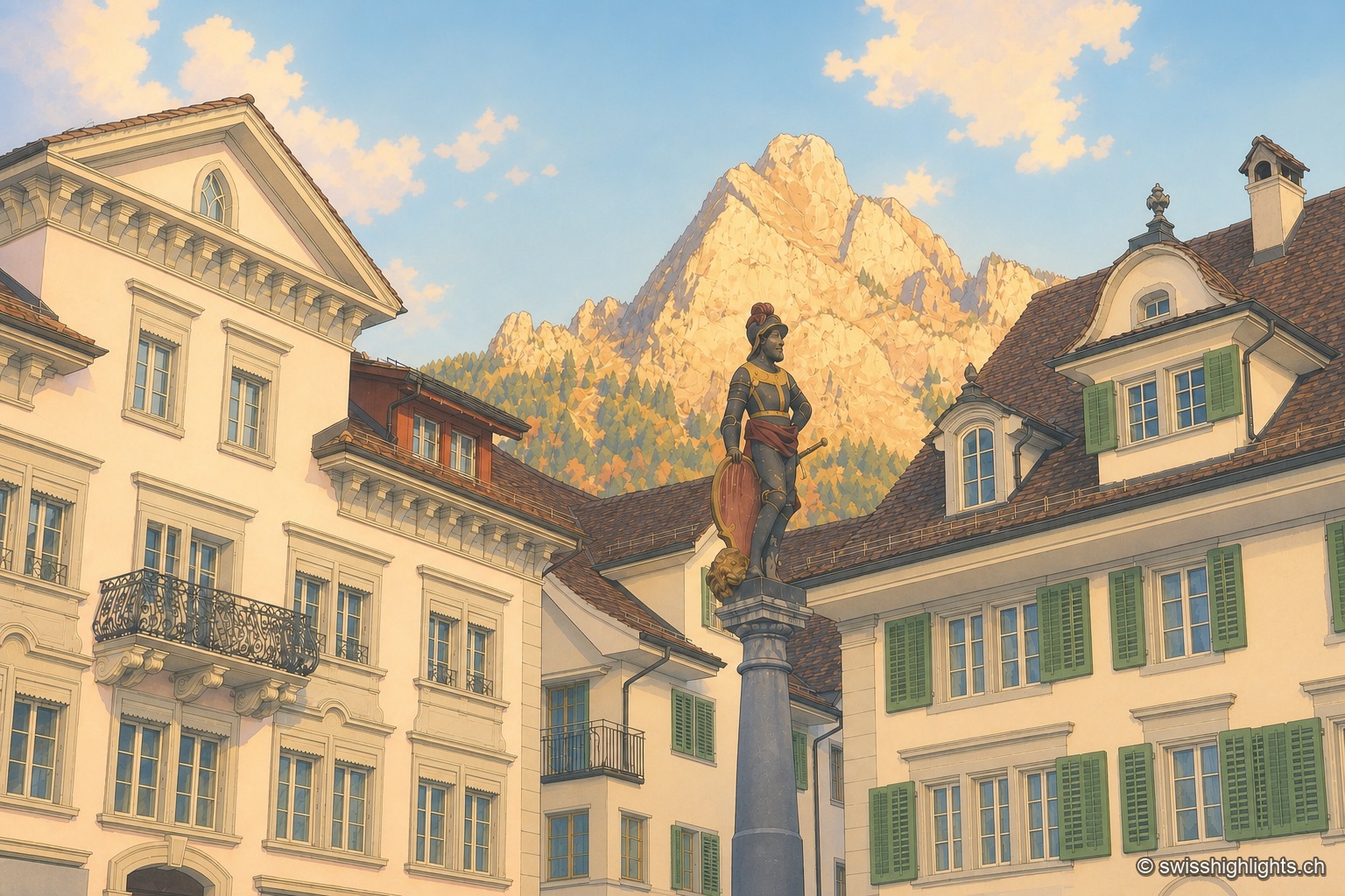
Capital below the Mythen · Schwyz
The main square, one of the finest baroque squares in Switzerland, lies at the foot of the Grand Mythen (1899 m) and the Petit Mythen (1811 m). Schwyz has housed the Confederation's earliest archives since 1291.
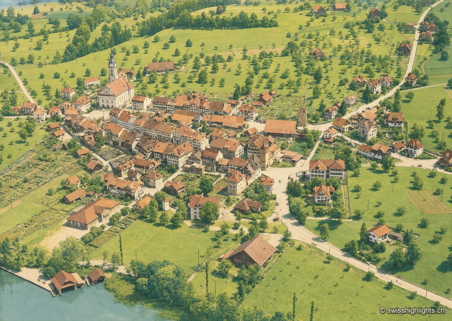
Battle town · Lucerne
On 9 July 1386, the Battle of Sempach saw the Lucerners and their allies defeat the Habsburgs; the Sempach Pact was signed there in 1393. The town received the Wakker Prize in 2017 for preserving its old town.
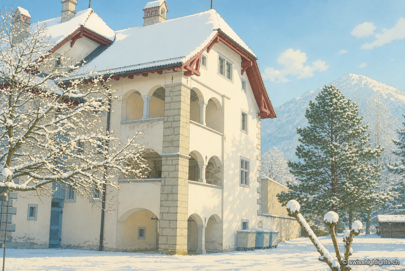
Below the Stanserhorn · Nidwalden
In September 1798, French troops killed 414 residents there, including about a hundred women and twenty-six children, in response to the canton's resistance. Today Stans also lives on aviation, with the Pilatus Aircraft plant.
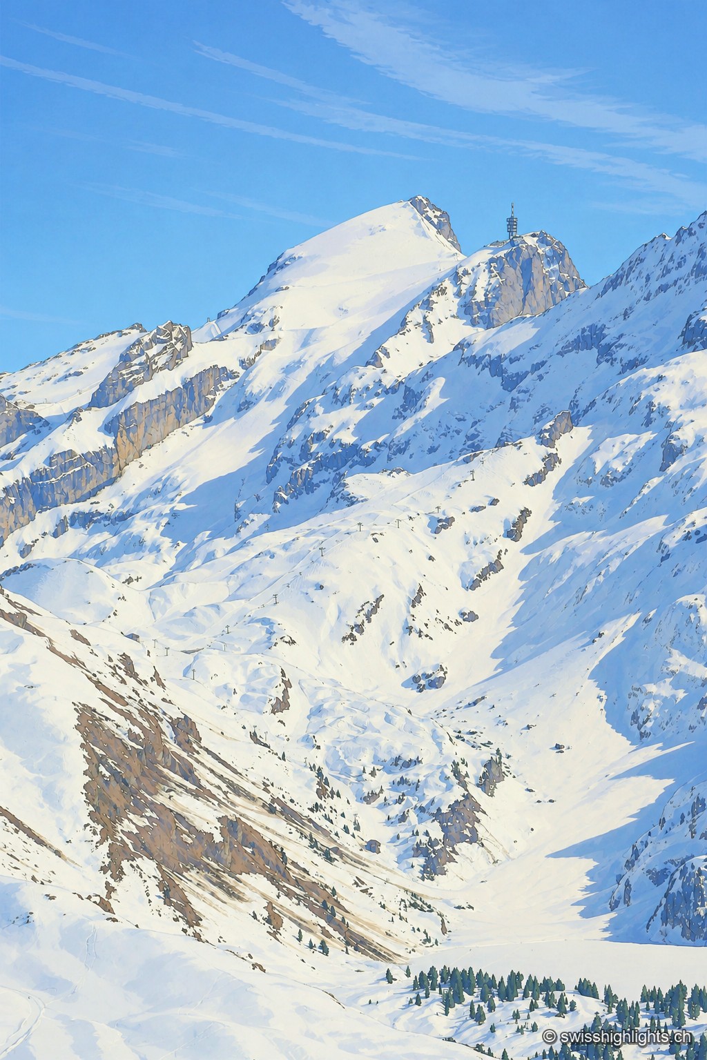
Summit · Obwalden–Bern
The Titlis reaches 3,238 metres at the end of an east–west limestone ridge. A glacier of 1.7 square kilometres covers its summit area; the upper cable-car station stands at 3,020 metres.
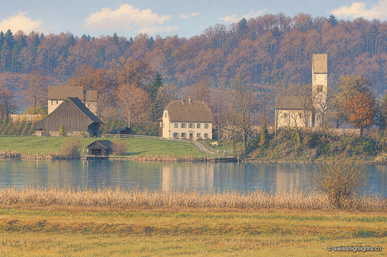
Monastic island · Lake Zurich
Otto I gave the island to Einsiedeln Abbey in 965. The church of Saints Peter and Paul was consecrated in 1141. Knight Ulrich von Hutten died here in 1523. In 2012, the site's protected status blocked a restaurant by Peter Zumthor.
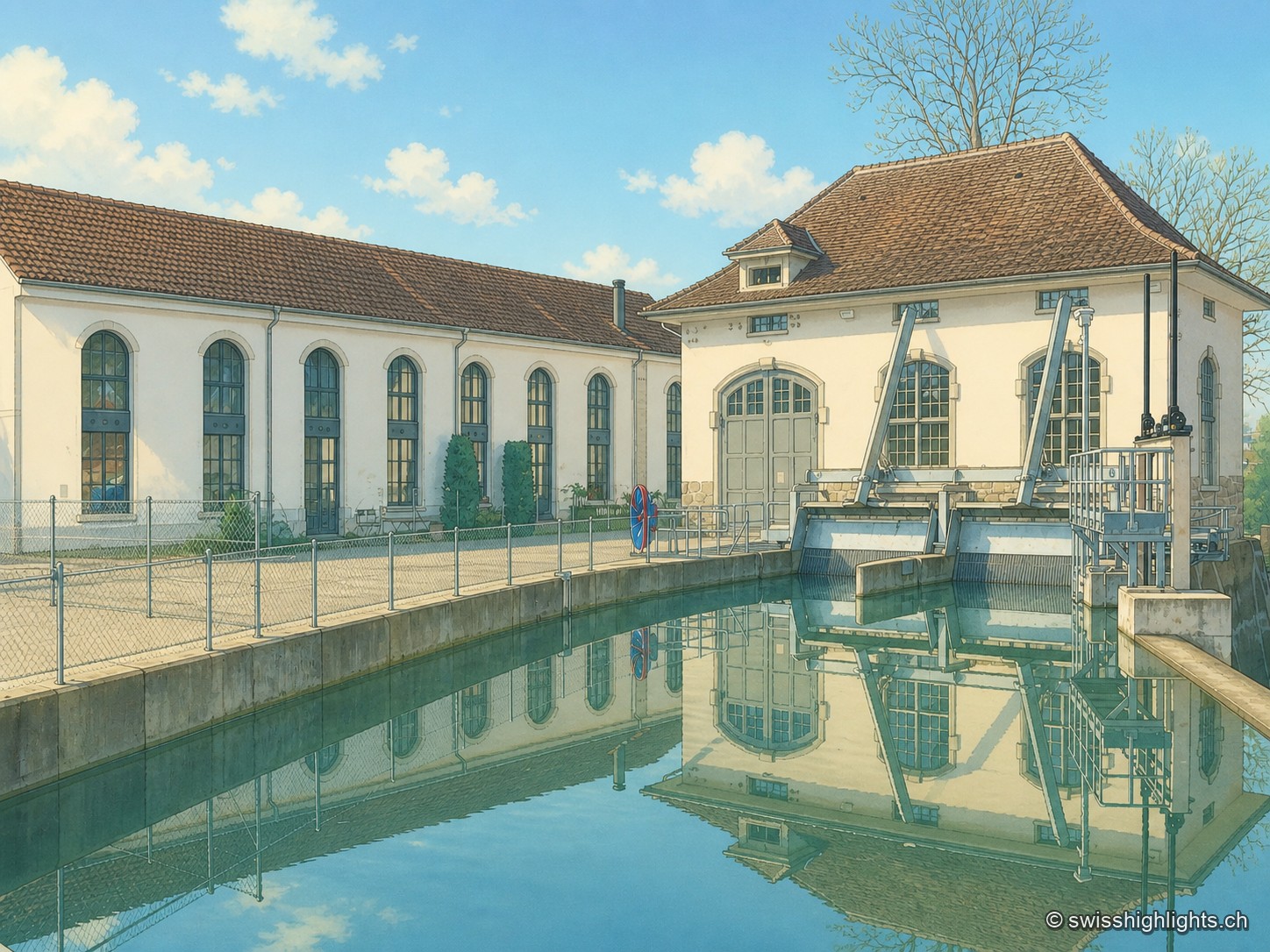
Former mill on the Lorze, ISOS site
The complex sits on the Lorze, whose hydraulic power once drove the mill's turbines; the weir of the Hagendorn power station survives on the river, alongside a road bridge and a wooden bridge.