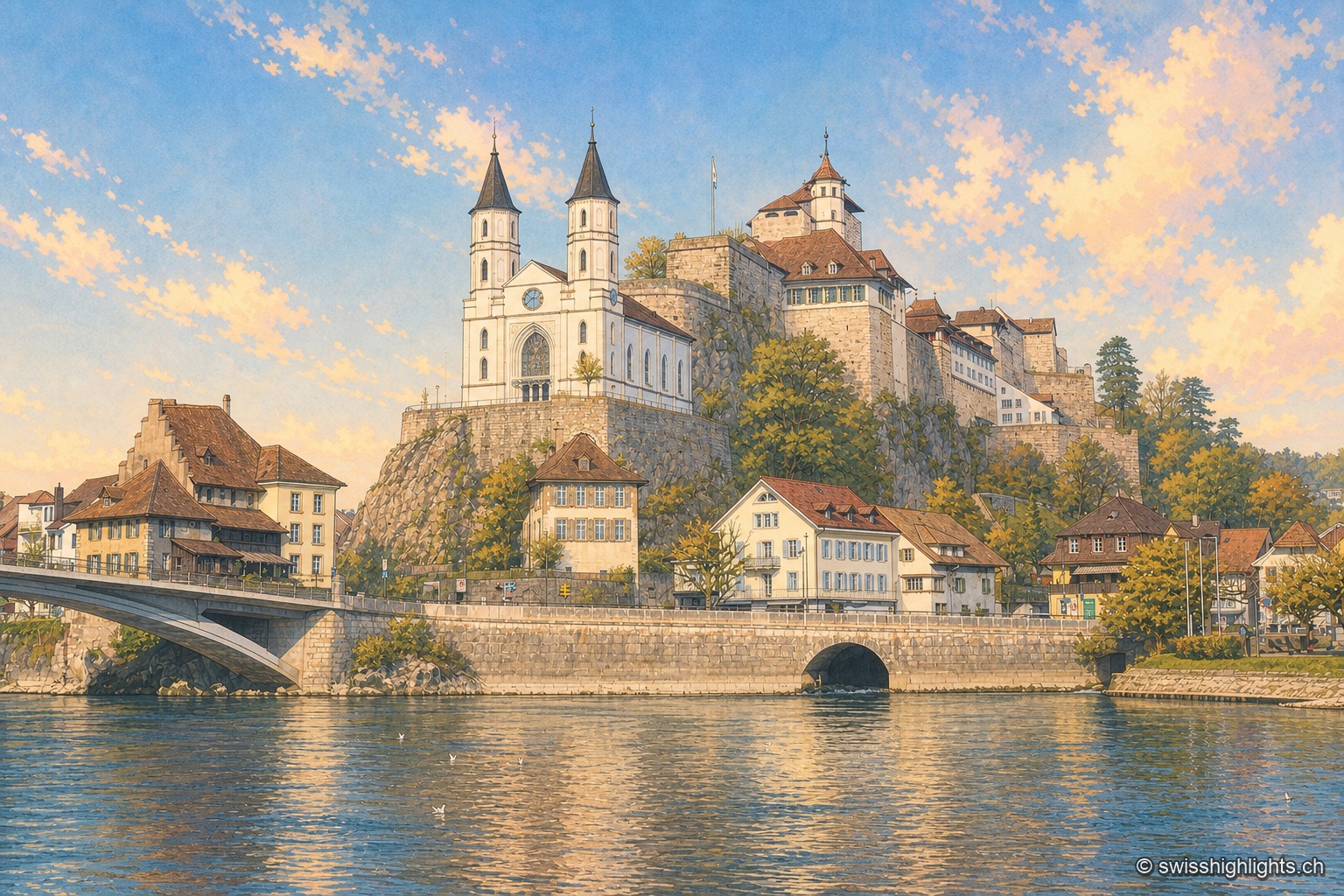
Aarburg seen from the bank of the Aare: the white Reformed church with two black spires stands on its rocky spur, the fortress and its long buildings occupy the ridge above, and the town's houses line the riverbank under a blue winter sky.

Urban weekends

Collections

26 member places · AG, BE, BL, BS, GE, JU, LU, NE, NW, SH, SO, SZ, TG, TI, VD, VS, ZH

Deterministic criterion: "cities" category (resolved from place type) in golden-set.json.

AarburgAvenchesBaselBern, Old TownBerthoud (Burgdorf)DiessenhofenEglisauGenevaInterlakenLa Chaux-de-FondsLaufenLausanneLucerne, old town and KapellbrückeLuganoMoudonNeunkirchPorrentruyRheinfeldenSaint-MauriceSchwyzSempachSolothurnStansUnterseenZofingenZurich
Interactive map — schematic view of Switzerland.

Places in this collection

Aarburg seen from the bank of the Aare: the white Reformed church with two black spires stands on its rocky spur, the fortress and its long buildings occupy the ridge above, and the town's houses line the riverbank under a blue winter sky.

Fortified small town · Aargau

Aarburg

Bern took the town on 20 April 1415 and turned the castle into a fortress. It still holds the spur commanding the valley, above an old town rebuilt after the fire of 4 May 1840.
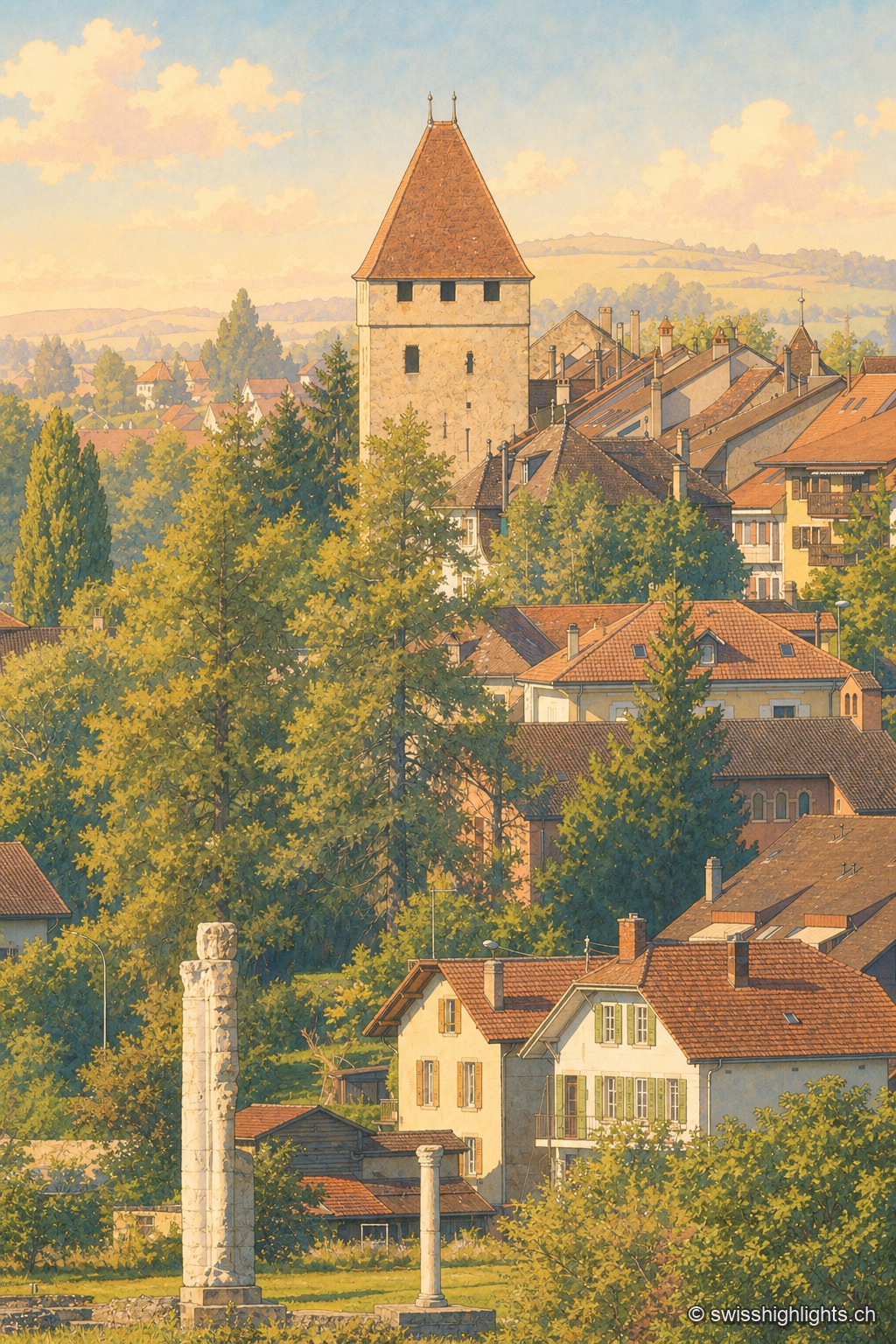
Late afternoon view of the old town of Avenches: in the foreground, two Roman columns standing in the grass, remnants of the Cigognier sanctuary; beyond the rooftops, the Tornallaz, a square tower with a pointed roof from the ancient wall, rises above the Vaud houses with light-colored facades and colorful shutters.

Roman capital · Vaud

Avenches

Aventicum had more than 20,000 inhabitants under the High Empire before the Alamanni devastated it in 258. The town hall, rebuilt in 1753, stands over the square; the IENA, opened in 1999, made it Switzerland's horse town.
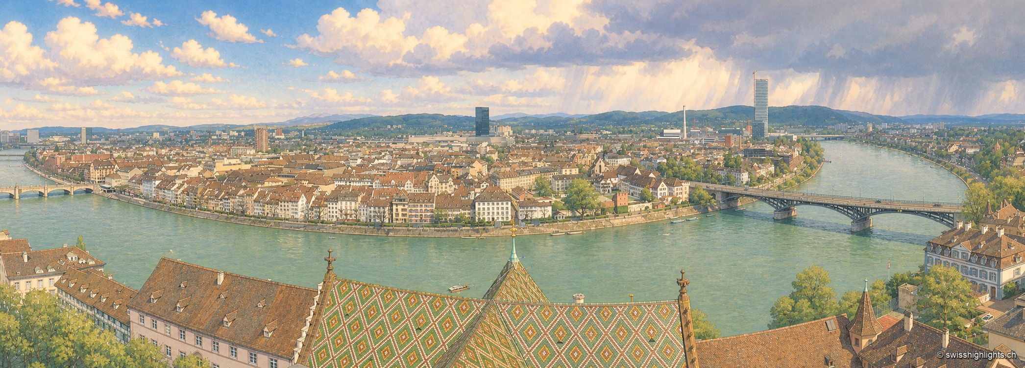
The Rhine seen from a bridge on a clear day: on the left bank, the red sandstone cathedral raises its two spires and glazed-tile roof above a quay wall and a line of trees; the pale façades of the old town then line the water up to the arches of a bridge closing the perspective; in the foreground on the right, a few white boats are moored along the bank, under a cloudless blue sky.

Rhine city · Basel-Stadt

Basel

The Rhine bends here before leaving Switzerland; the city spans it and touches France and Germany. A university founded in 1460, some forty museums in the canton, a carnival on UNESCO's intangible heritage list.
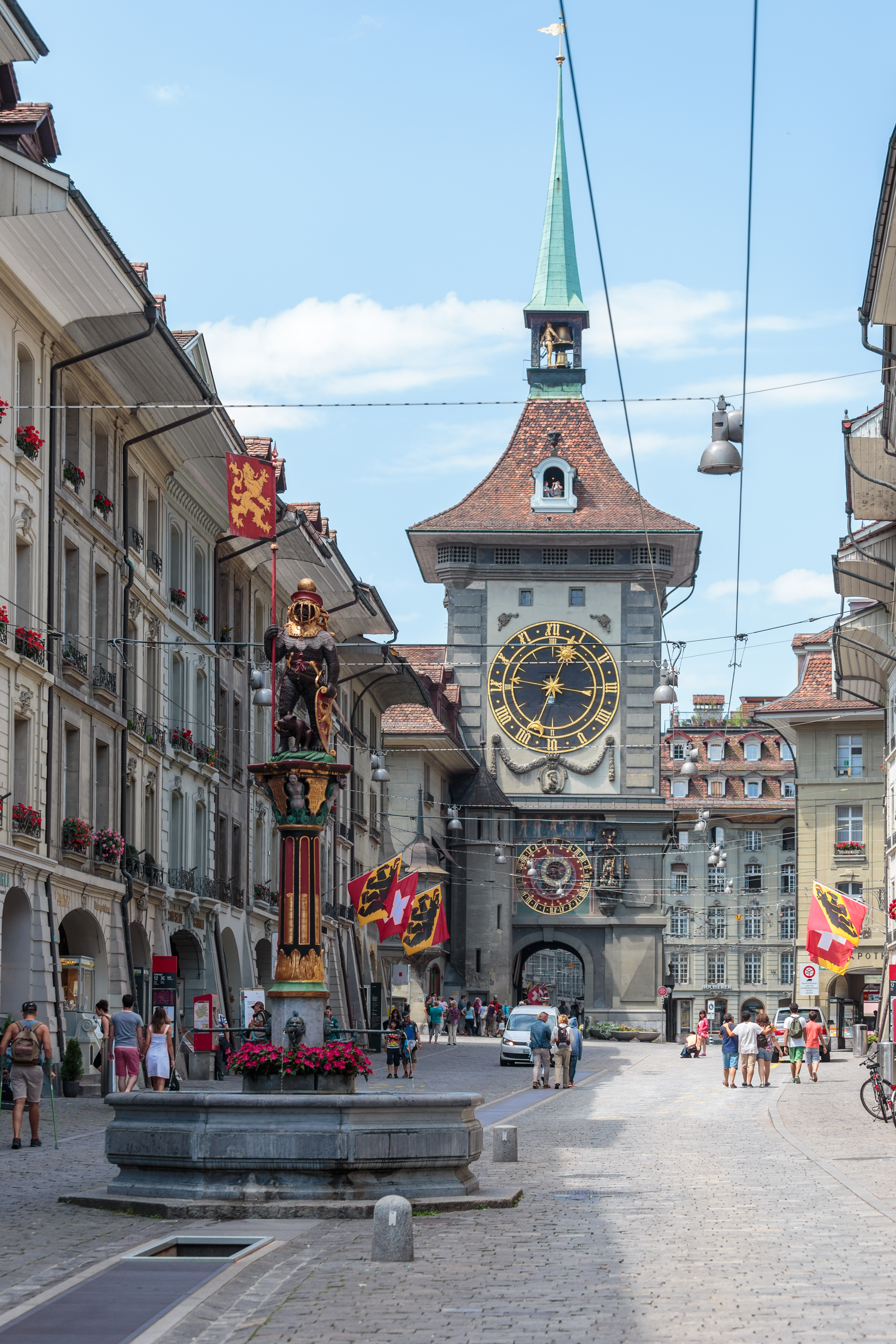
The Kramgasse in Bern, lined with sandstone buildings with arcades: in the foreground the Zähringerbrunnen, a painted fountain topped with a bear in armour, and in the background the Zytglogge tower with its golden clock face and green spire.

Old town · Bern

Bern, Old Town

More than six kilometres of arcades, 16th-century fountains and the Zytglogge tower set the rhythm of a centre rebuilt in sandstone after the fire of 1405.
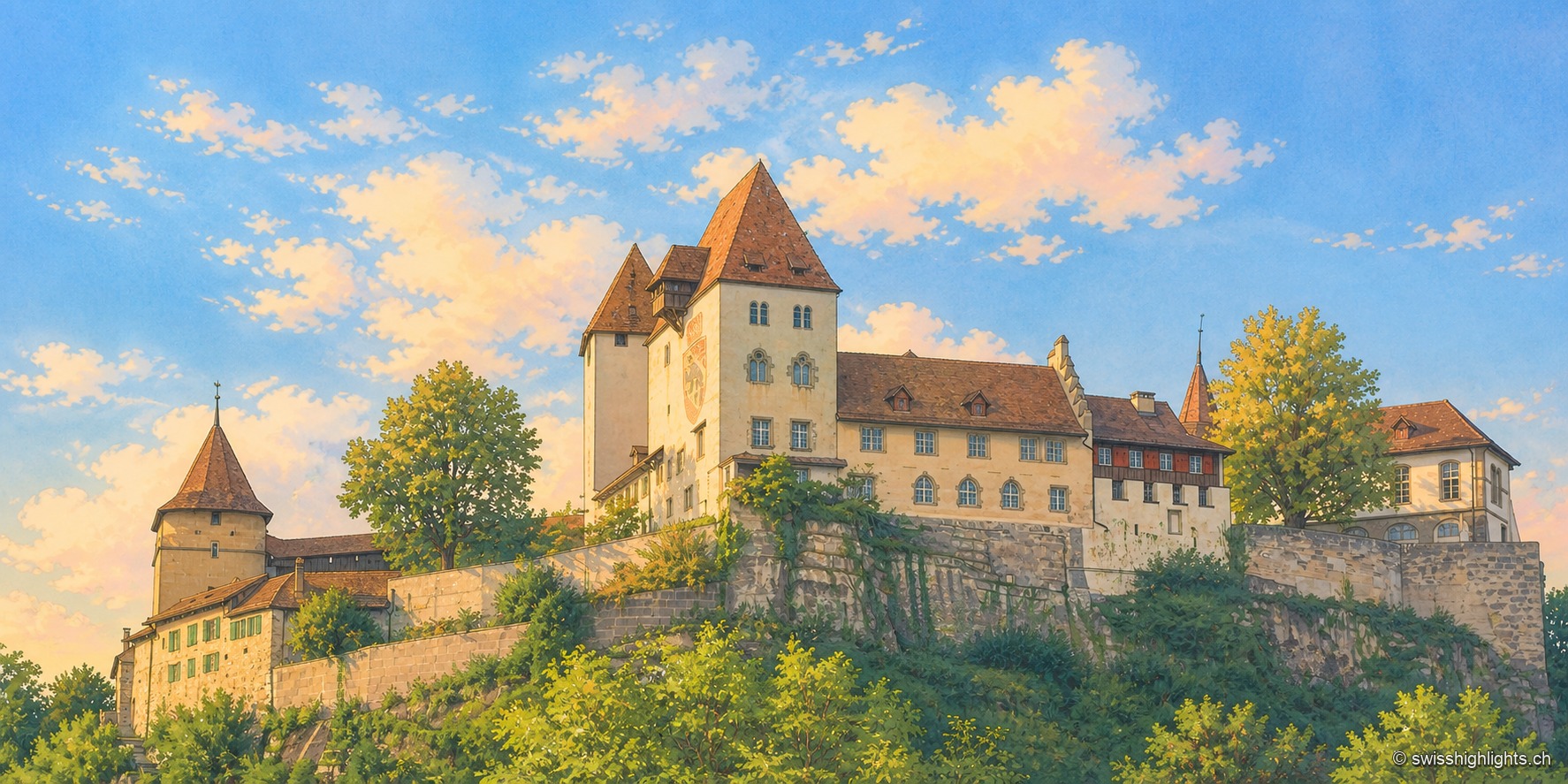
Burgdorf Castle seen from below, at the end of the day: set on a rocky, vegetation-covered outcrop, a square keep with a steep roof, a pale residential wing with blue shutters, and a round tower capped with tiles, under a blue sky streaked with clouds; the raking light illuminates the south-facing façades.

Emmental town · Bern

Berthoud (Burgdorf)

The castle holds the sandstone spur above the town; its name appears as early as 1084. In 1273 the Goldene Handfeste set the town's law in writing, in force for five centuries. In 1899 the line to Thun made it a laboratory of electric traction.
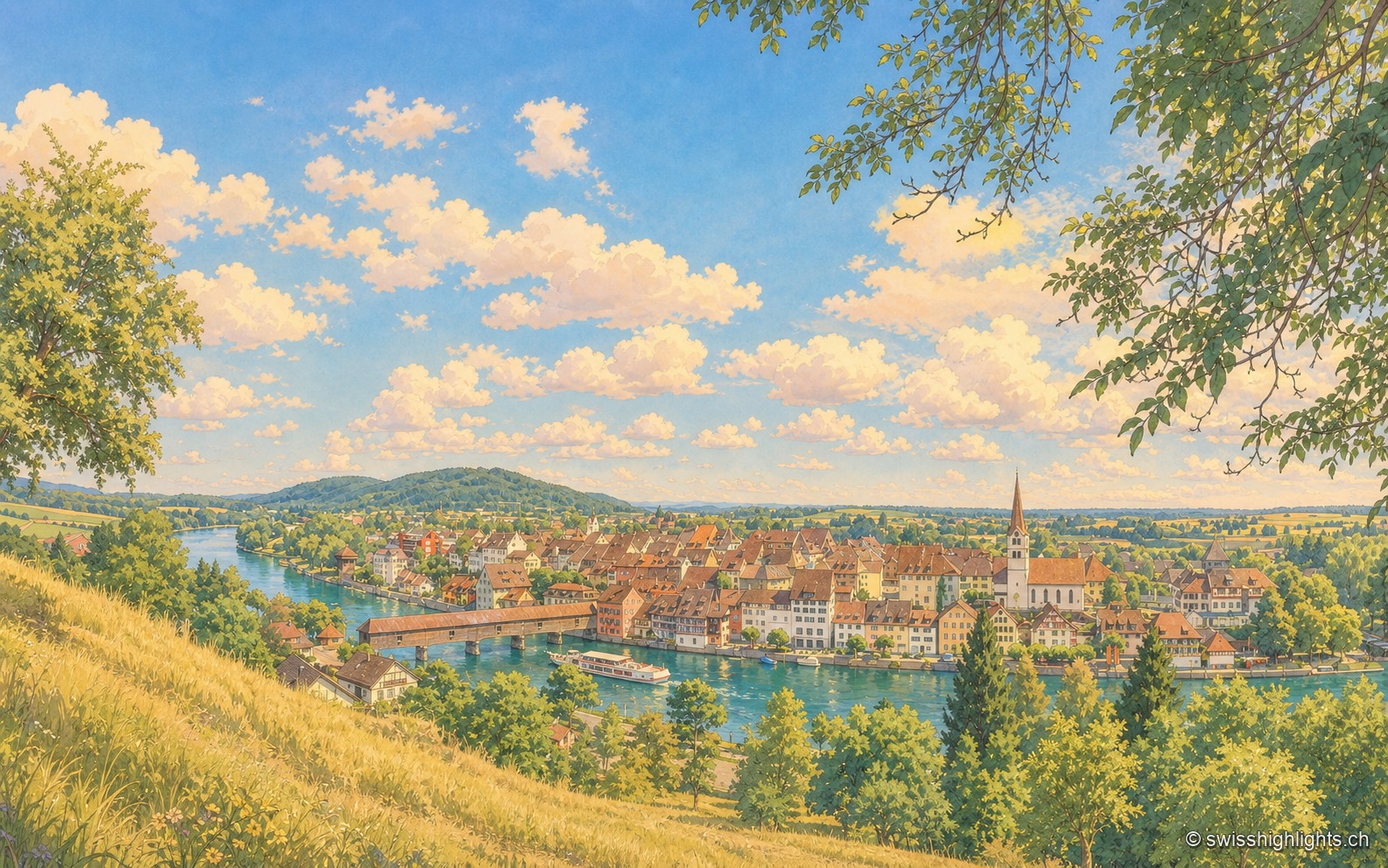
Elevated view of Diessenhofen from a height on the opposite bank: the Rhine looping through, the covered wooden bridge on the left, a passenger boat before the quay, the tightly packed roofs of the town and the church bell tower at the center, under a summer sky with cumulus clouds.

Rhine town · Thurgau

Diessenhofen

Raised to town status in 1178 by the counts of Kyburg, Diessenhofen has kept its medieval street plan, its Seal Tower with a zodiac dial, and its covered wooden bridge across the Rhine into Germany.
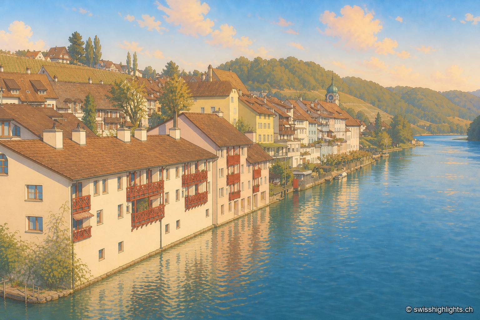
The Eglisau waterfront seen from the bridge: a row of houses with red wooden balconies plunging into the blue Rhine, an onion-domed bell tower in the middle of the row, a vine-planted slope above, and the river receding between wooded hillsides.

Rhine wine town · Zurich

Eglisau

On the north bank of the Rhine, Eglisau lines its houses at the water's edge below vineyard slopes. The dam built between 1916 and 1920 raised the river by 8.5 metres, taking with it the old bridge and the houses along the bank.
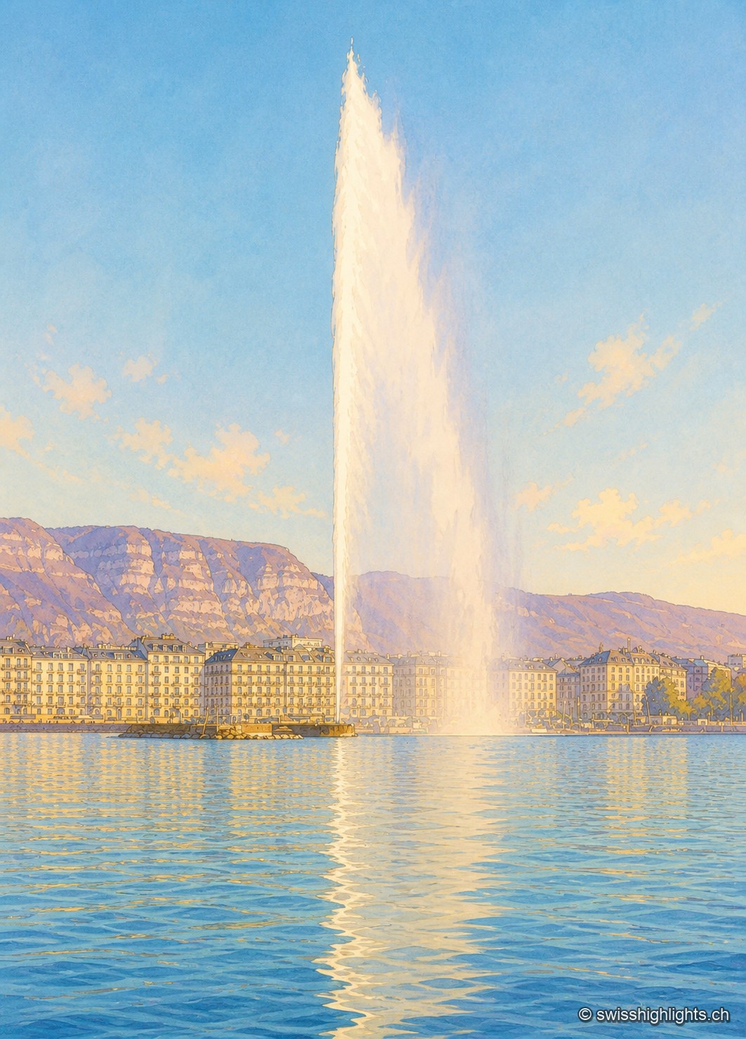
The Geneva Water Fountain seen from the shore in winter: the white column of water rises very high into a cloudless blue sky and curves slightly to the right. In the background, the row of light-colored buildings along the quay is lit by low sunlight; behind them rises the limestone cliff of the Salève. The foreground is filled with the rippled water of the lake, reflecting the column of the fountain.

City · Canton of Geneva

Geneva

The commune covers 15.93 km² and counted 203,856 inhabitants; the cross-border conurbation around it holds 1,053,436. Since 1891 the Jet d'Eau has thrown its column 140 metres above the bay.
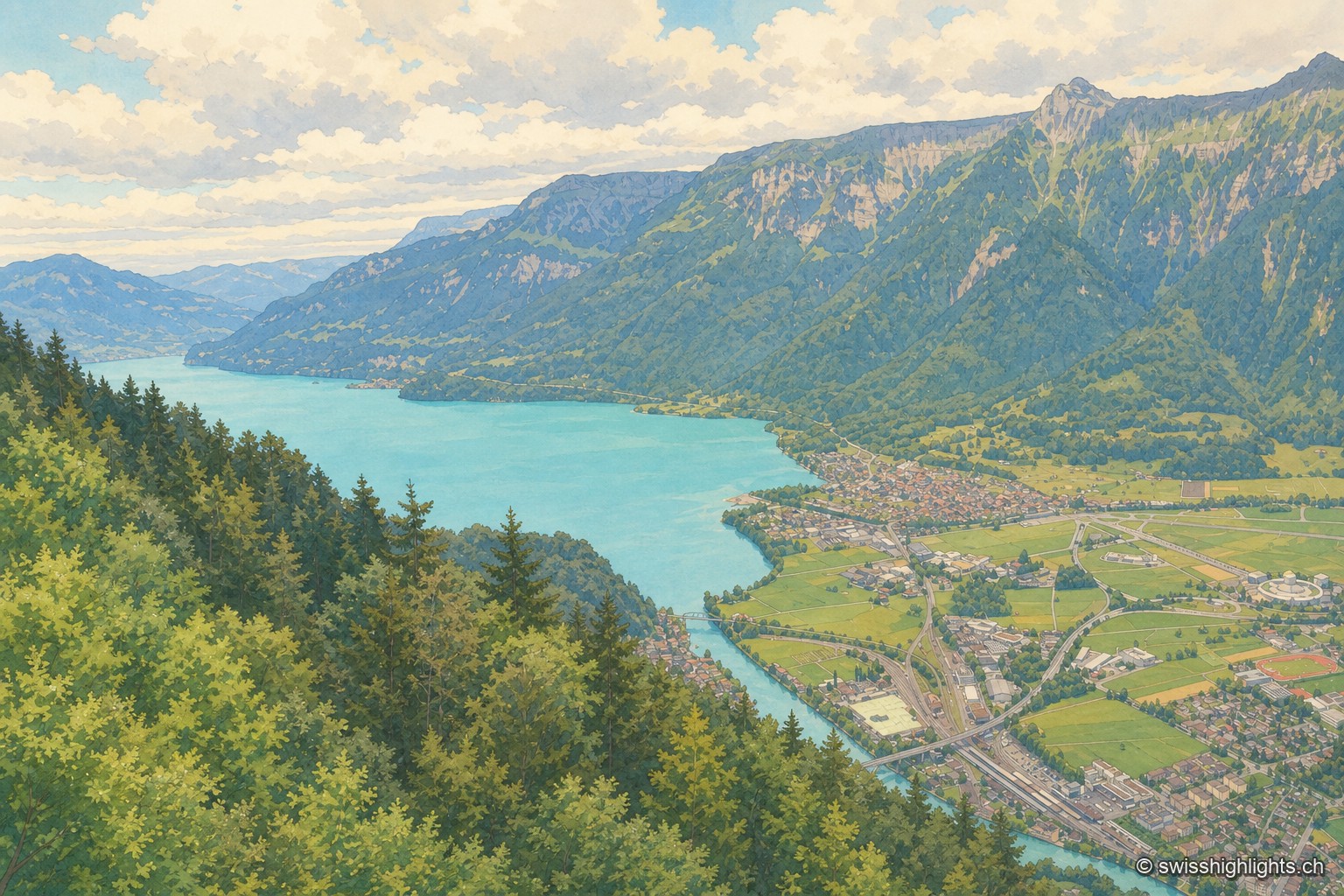
From a wooded ridge, the view plunges over the turquoise Lake Brienz, then over the Interlaken plain crossed by the river, before the steep mountain wall closes the horizon under a cloud-laden sky.

Town · Bernese Oberland

Interlaken

A municipality of 6,123 inhabitants on a flat tongue of land four kilometres wide between two lakes. Its Latin name dates only from 1891: before that it was Aarmühle, the mill on the Aare.
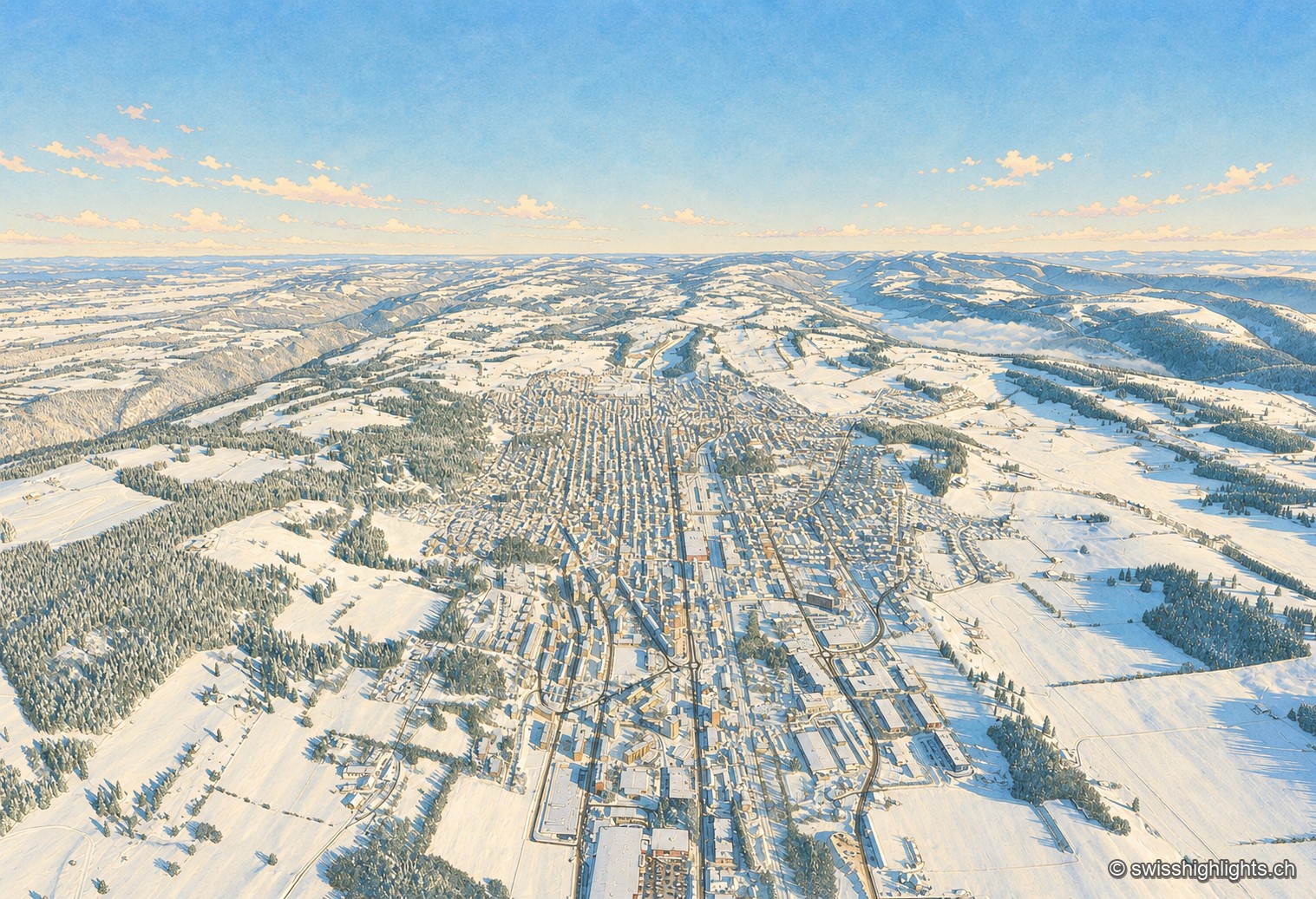
Winter aerial view of La Chaux-de-Fonds: under a deep blue sky, the town stretches its long parallel streets along the bottom of a snow-covered valley, the white roofs forming a regular grid between the pastures and fir forests of the Jura, the horizon closed off in the distance by a sea of fog.

Watchmaking town · Neuchâtel

La Chaux-de-Fonds

At close to 1,000 metres, in a valley with no surface water, the streets cross at right angles. The 2009 listing honours no monument but a plan: that of a town where workshop and dwelling shared the same building.
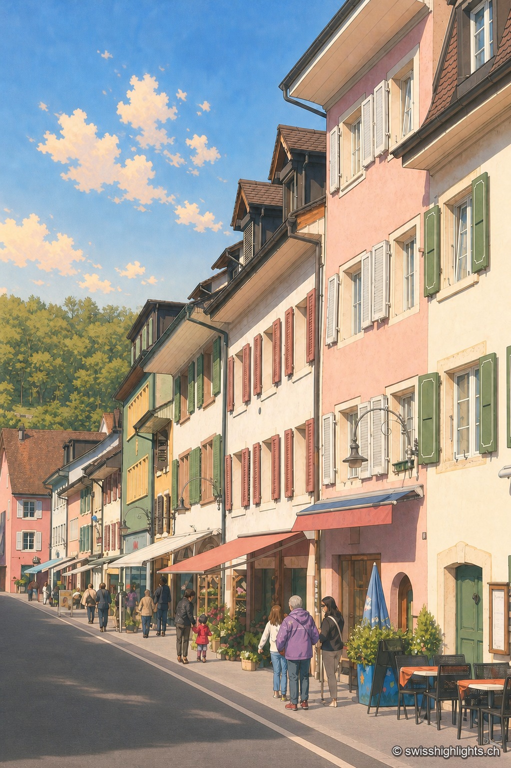
Asphalt-paved street of the town of Laufen in vertical perspective, lined with pastel-toned façades — pink, almond green, ochre — with shutters and signs; a few passers-by and café tables enliven the sidewalk under a blue sky with scattered clouds.

Town on the Birs · Basel-Landschaft

Laufen

After refusing in 1974 to join the canton of Jura, Laufen opted in 1994 for Basel-Landschaft; its main street, closed by two gates, is lined by the church of Sainte-Catherine, built from 1698.
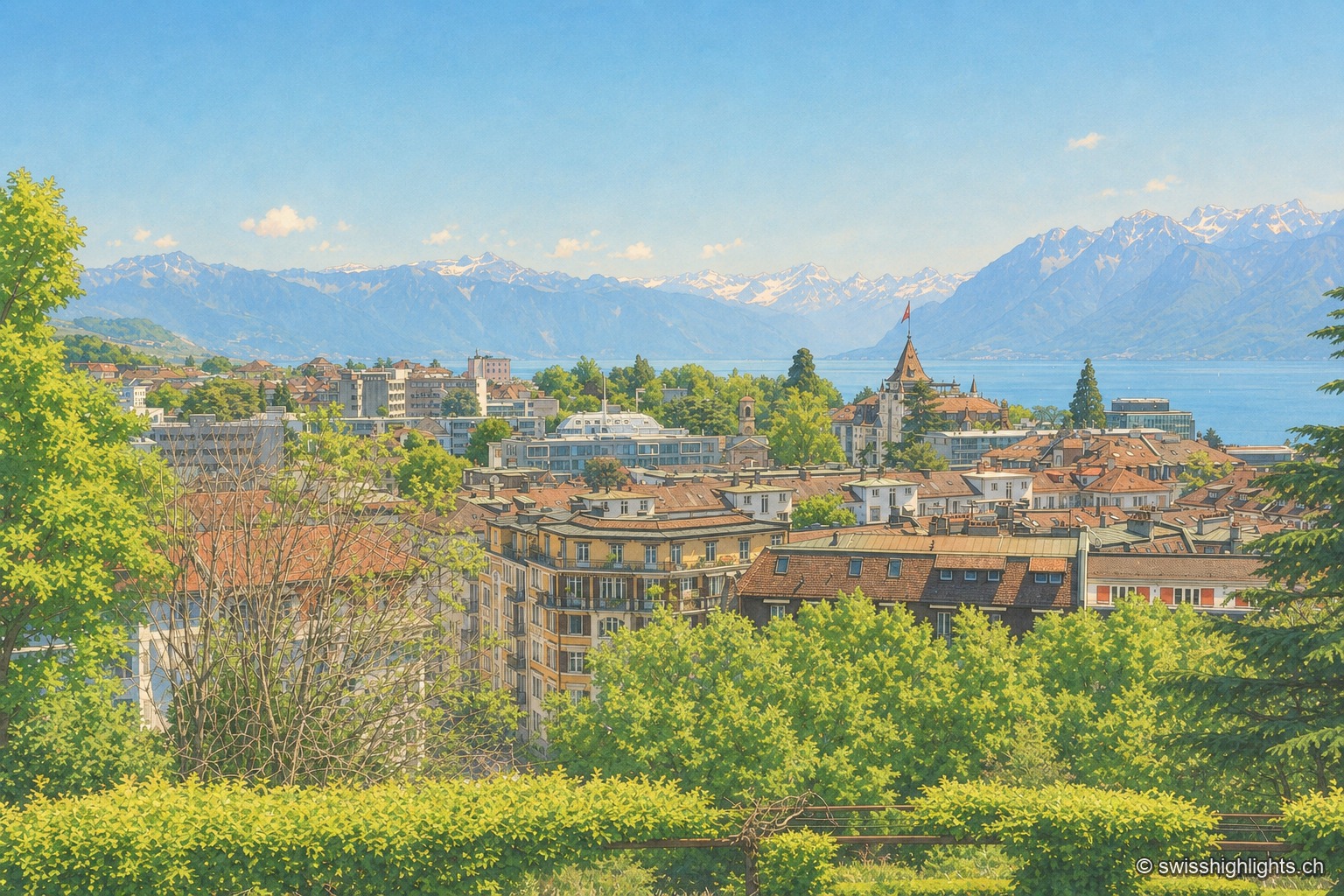
Overlooking view of Lausanne from the crêt de Montriond: the city's tiled roofs cascade downhill toward Lake Geneva, its shoreline glittering in the distance before the Alps, under a clear sky.

City on a slope · Lake Geneva

Lausanne

Built on three hills above Lake Geneva, Lausanne climbs without pause. Its cathedral, raised between 1170 and 1230, is the most important Gothic one in Switzerland, and the International Olympic Committee has sat here since 1915.
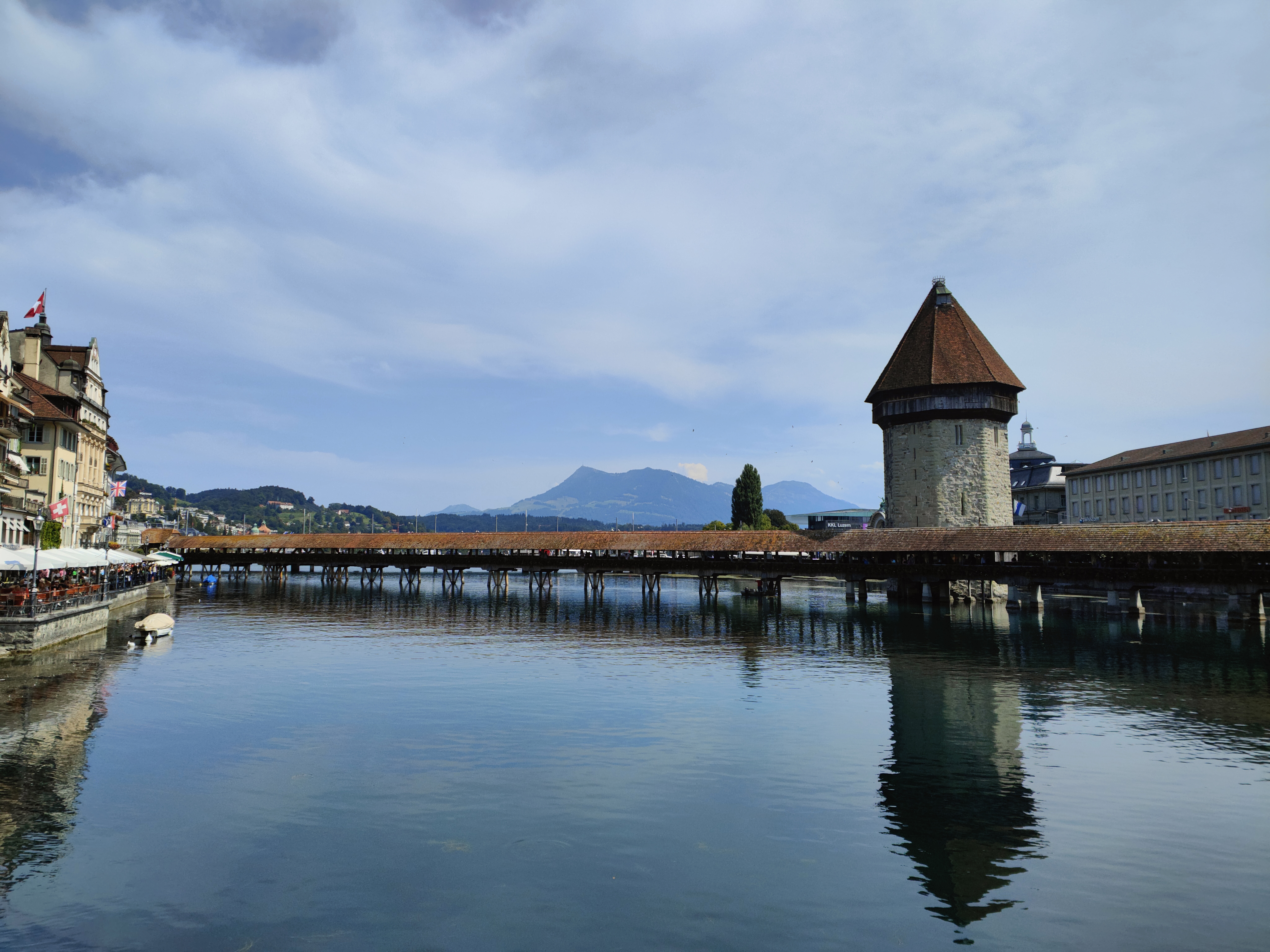
The Chapel Bridge and its octagonal water tower span the Reuss at dusk; the lights of Lucerne's old town, with its snow-covered roofs, reflect in the calm water under a blue winter sky.

Old town and covered bridge · Lucerne

Lucerne, old town and Kapellbrücke

It joined the Confederation in 1332, before any other town; along the Reuss, Lucerne lines up a wooden bridge of 1333, an octagonal water tower older than the bridge, and 870 metres of curtain wall with nine towers.
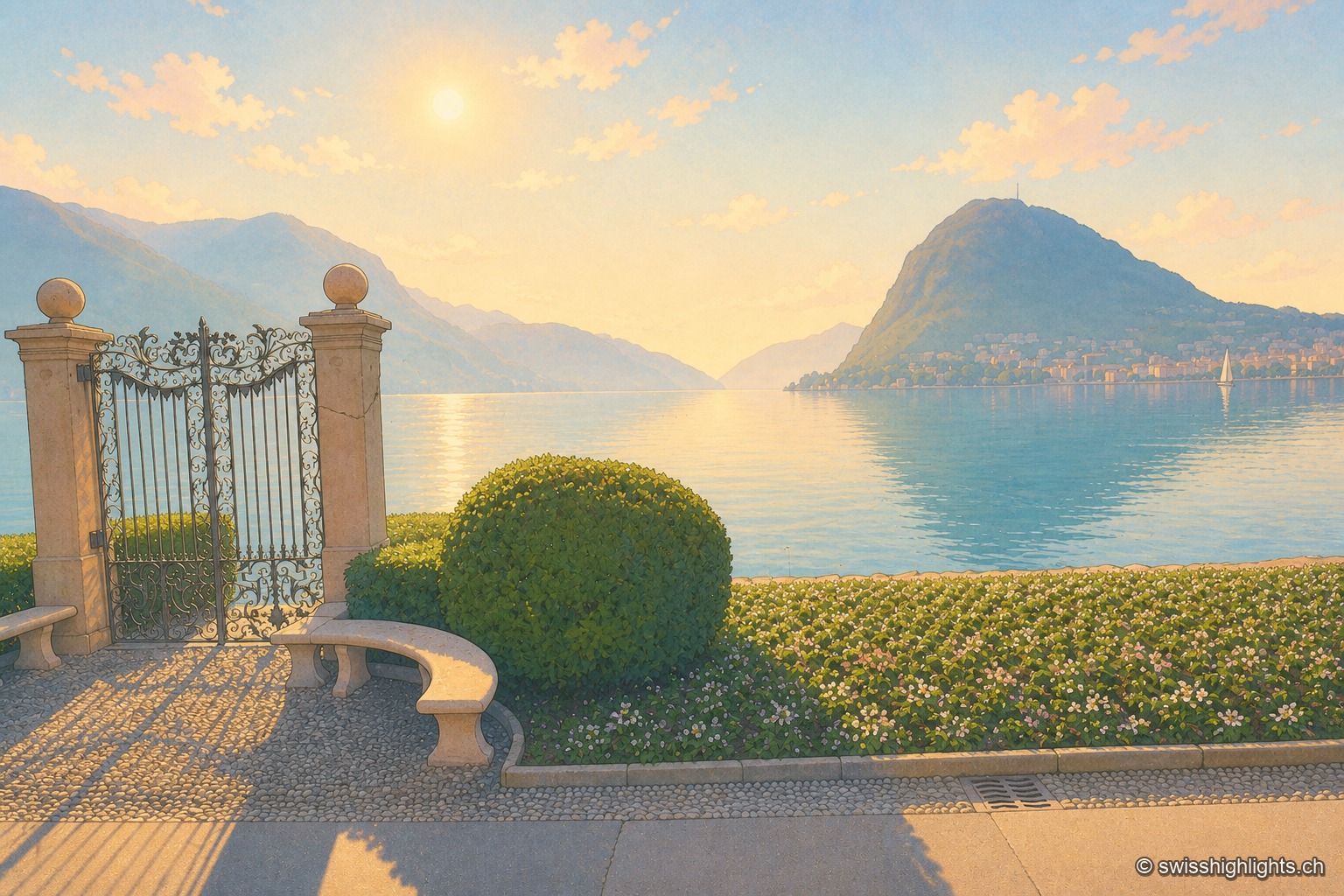
Wrought-iron gate open onto the shore of Lake Lugano, shot against the light, the low sun blazing between the two stone pillars; in the distance, the bluish silhouette of Monte San Salvatore dominates the town and the calm lake water reflecting the light.

Lakeside city · Ticino

Lugano

The country's third financial centre, Lugano hosted the first Eurovision Song Contest in 1956 and has, since the mergers of 2004, 2008 and 2013, an agglomeration of about 150,000 inhabitants on the shore of Lake Lugano.
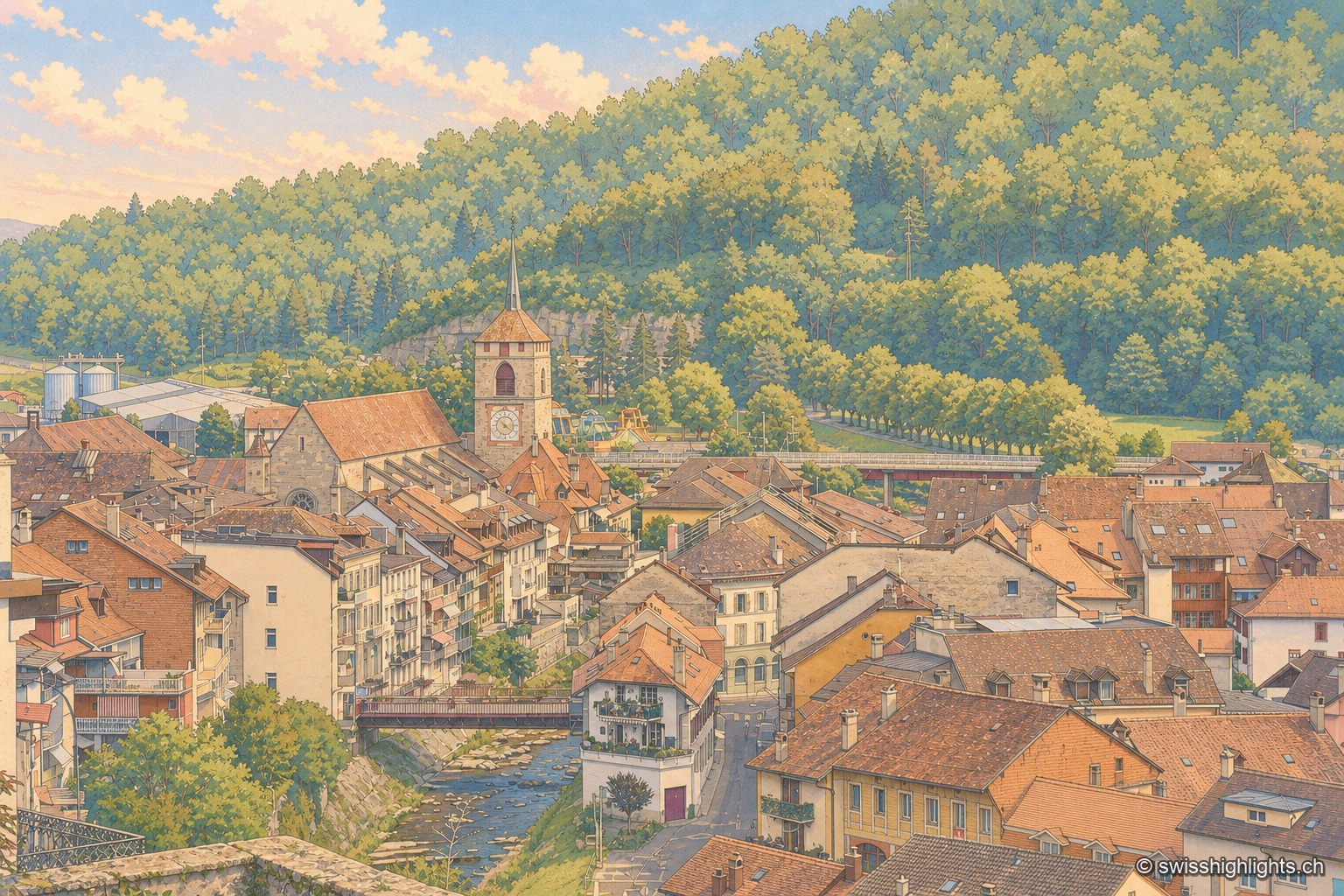
High-angle view over the old town of Moudon from the heights of the castle: the pointed spire of the Church of Saint-Étienne rises above the brown-tiled roofs of the medieval town, nestled against a wooded hillside; in the foreground on the left, a section of castle wall and a wrought-iron railing; below, the Broye river runs alongside the lower town with its more recent buildings, spanned by a road bridge.

Fortified town on the Broye · Vaud

Moudon

Amadeus I of Geneva built a castrum here around 1127; the Savoys installed the Vaud bailiwick around 1260. Under Bern from 1536, the town keeps its medieval old quarter, now an ISOS heritage site, above the river.
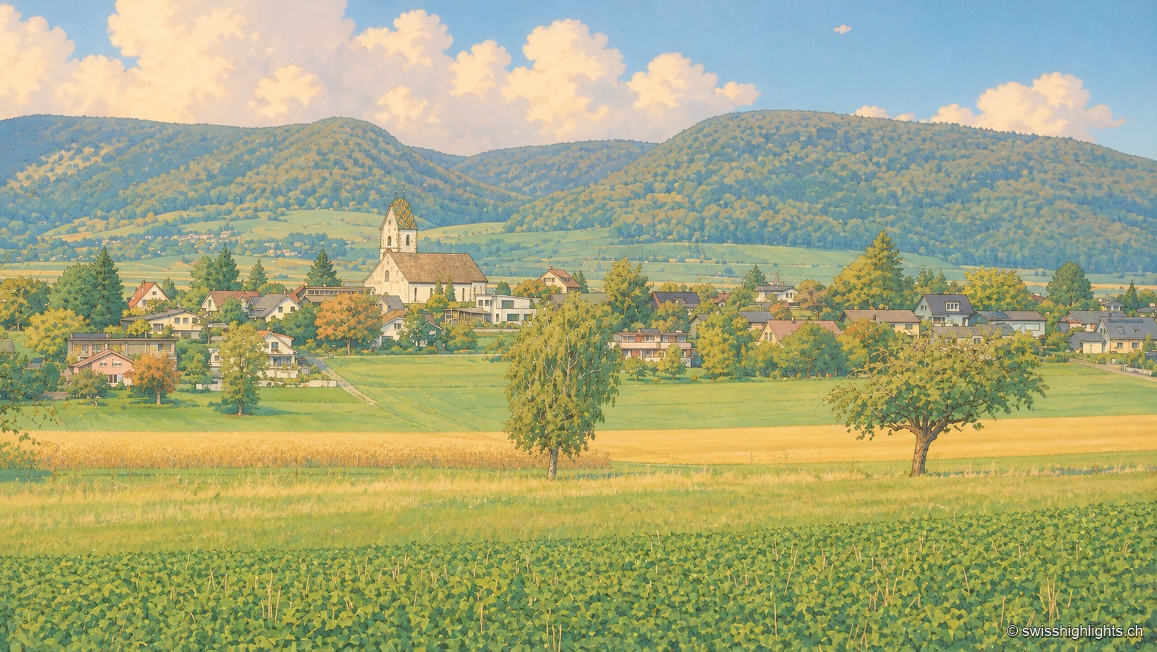
The village of Neunkirch nestled between wheat fields and orchards, its golden onion-domed bell tower rising above the rooftops, backed by wooded hills under a summer sky dotted with large clouds.

Planned small town · Schaffhausen

Neunkirch

Destroyed and then rebuilt in one go, it has kept its rectangle of four parallel streets. Long held by the bishops of Constance, it was sold to Schaffhausen in 1525 for 8,500 guilders.
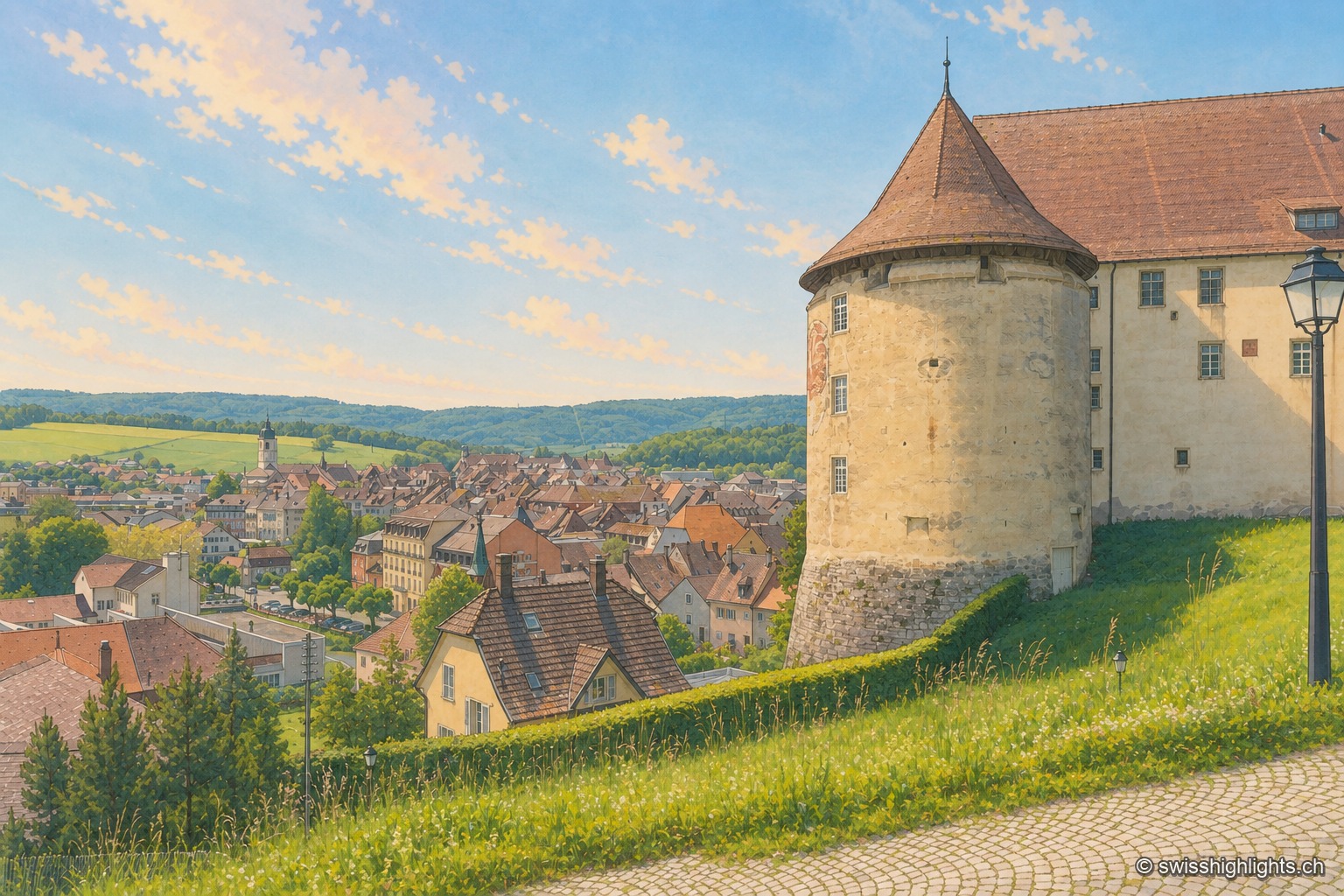
From the castle terrace, the large round tower with a conical roof occupies the right of the frame, against the long whitewashed building; below spread the brown and red roofs of the old town of Porrentruy, the light-colored church steeple, and behind them the wooded hills of the Jura under a pale blue summer sky.

Town · Ajoie, canton of Jura

Porrentruy

Driven from Basel by the Reformation, the prince-bishops settled in Porrentruy after 1528; their supposedly provisional residence lasted until 1828. Castle, Jesuit college, hôtel-Dieu and stone fountains still hold its measure.
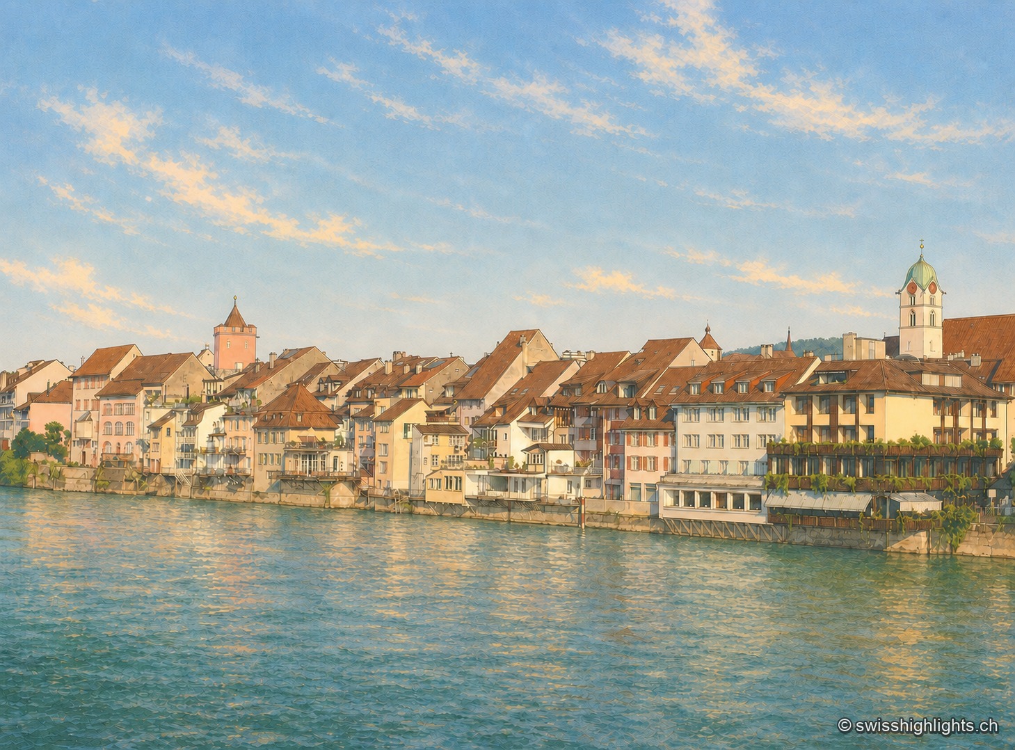
The old town of Rheinfelden seen from the opposite bank of the Rhine at the end of the day: an unbroken row of brown-tiled-roof houses runs down to the water's edge, a square tower with a pointed roof and pinkish render stands out on the left, and the white steeple with its green dome dominates the row of houses on the right. The grey-green Rhine fills the entire lower half of the image beneath a pale blue sky.

Town on the Rhine · Aargau

Rheinfelden

Two battles carried its name, in 1638 and 1678, and the French dismantled it in 1744. At the close of every year a brotherhood born of a vow made in 1541 sings before the town's fountains.
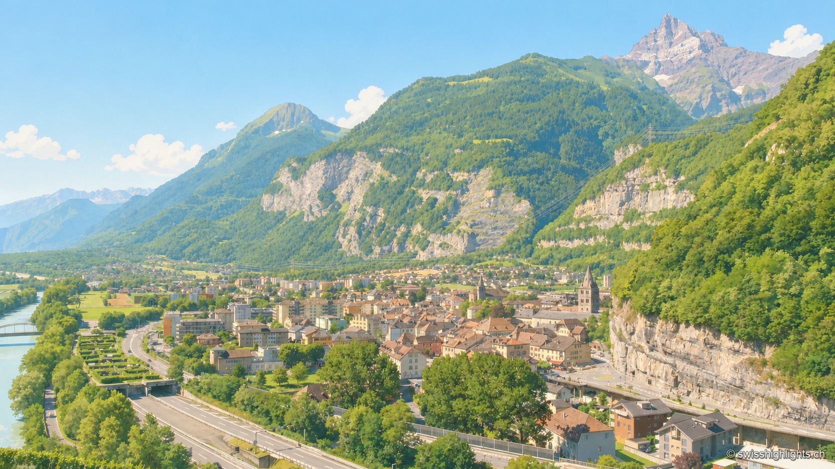
Elevated summer view of Saint-Maurice, taken from a high point to the south: the town occupies the narrow plain between the emerald-green Rhône, bordered by grassy embankments on the left, and a steep limestone cliff on the right, pierced by a road tunnel; at the center, the bell towers of the abbey and the town stand out among the roofs; in the distance, under a clear blue sky, a sharp rocky peak — the Dents du Midi — dominates the valley.

Lock on the Rhône · Valais

Saint-Maurice

A stage on the Via Francigena recorded as early as 990, locked by the Château des Gouverneurs and its 12th-century bridge over the Rhône, the town burned down in 1693 before planting, first in Valais, a liberty tree in 1798.
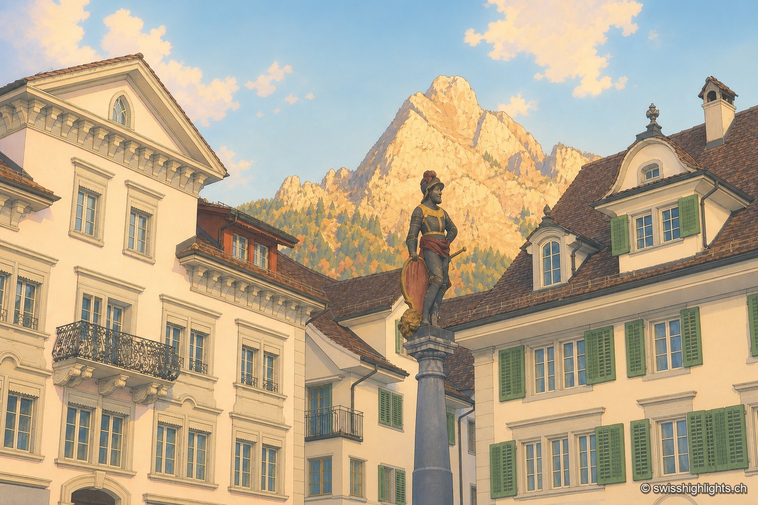
The historic square of Schwyz with its patrician houses and statue, dominated by the rocky Mythen peaks illuminated in the distance.

Capital below the Mythen · Schwyz

Schwyz

The main square, one of the finest baroque squares in Switzerland, lies at the foot of the Grand Mythen (1899 m) and the Petit Mythen (1811 m). Schwyz has housed the Confederation's earliest archives since 1291.
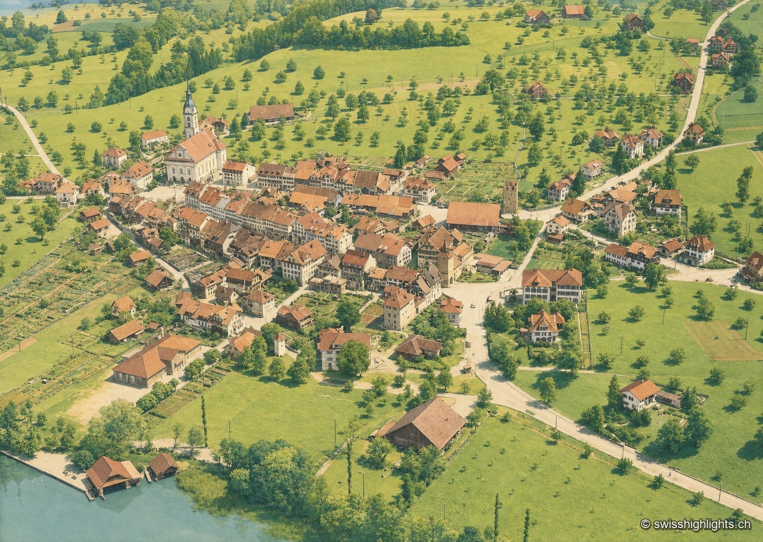
Colorized historical aerial view of Sempach, a lakeside village surrounded by orchards and fields, on the shore of Lake Sempach.

Battle town · Lucerne

Sempach

On 9 July 1386, the Battle of Sempach saw the Lucerners and their allies defeat the Habsburgs; the Sempach Pact was signed there in 1393. The town received the Wakker Prize in 2017 for preserving its old town.
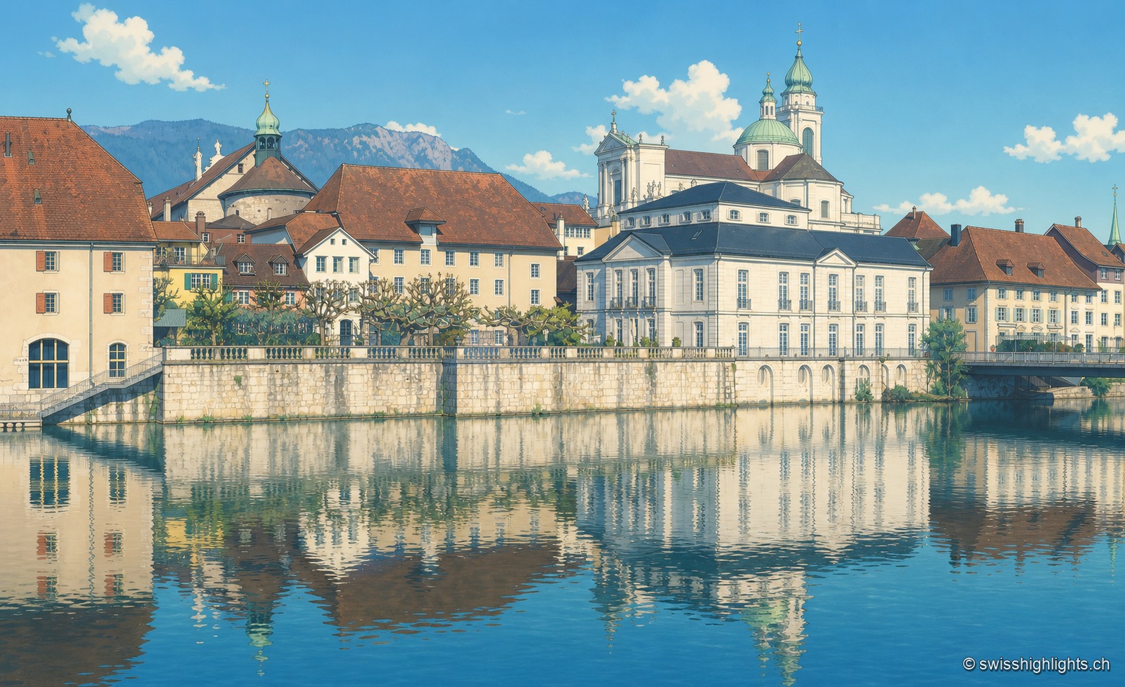
The old town of Solothurn is reflected in the Aare, dominated by the pale towers of St. Ursus Cathedral, under a clear blue sky.

City of ambassadors

Solothurn

Founded by Rome as Salodurum, admitted to the Confederation in 1481, Solothurn keeps towers and gates from the 15th-16th centuries around its baroque cathedral and its town hall, completed in 1711. 16,847 inhabitants at the end of 2024.
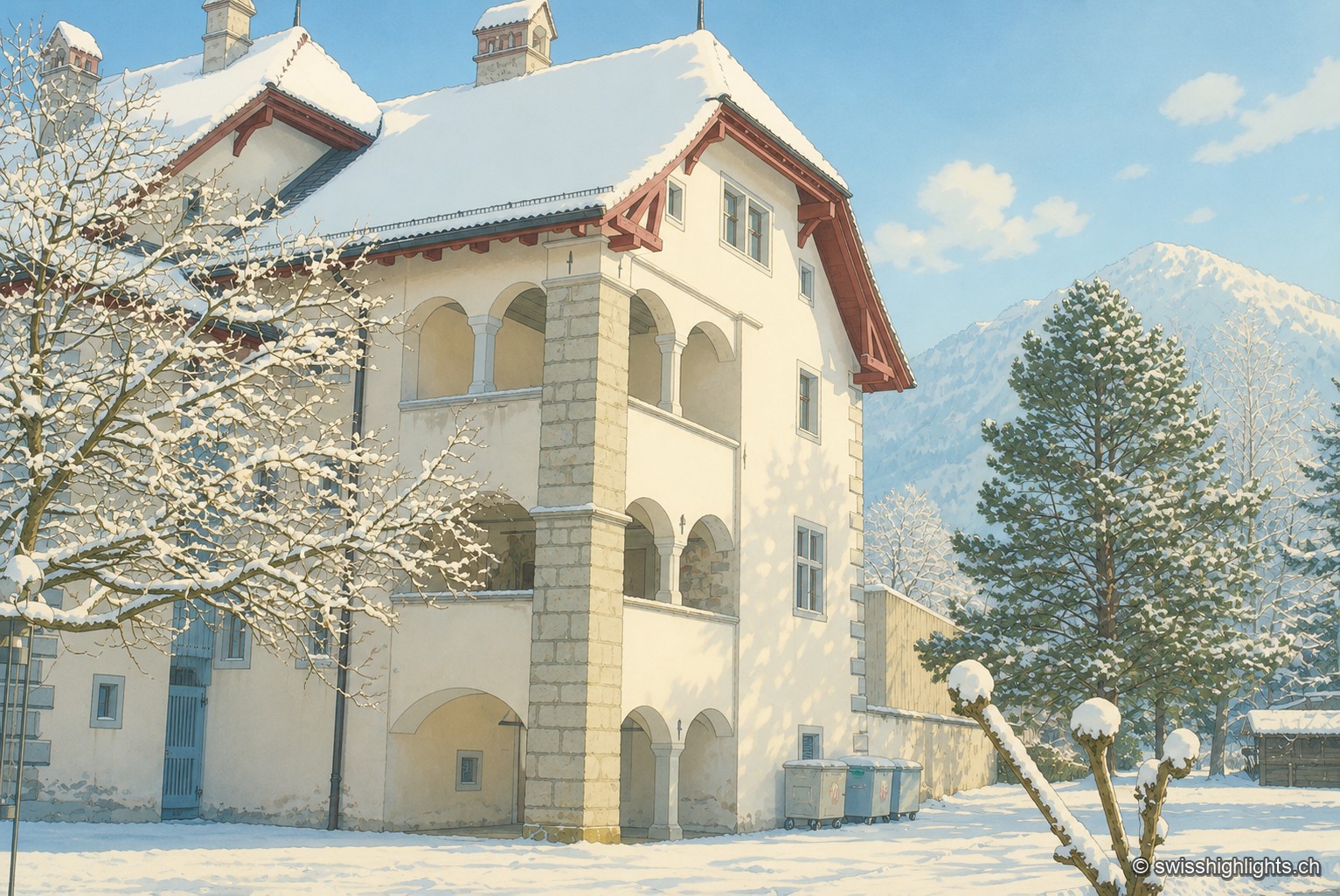
The Winkelriedhaus in Stans under snow: a pale plastered façade with three levels of arcaded loggias and a red tile roof, surrounded by snow-laden trees, with a snow-covered summit in the background under a blue sky.

Below the Stanserhorn · Nidwalden

Stans

In September 1798, French troops killed 414 residents there, including about a hundred women and twenty-six children, in response to the canton's resistance. Today Stans also lives on aviation, with the Pilatus Aircraft plant.
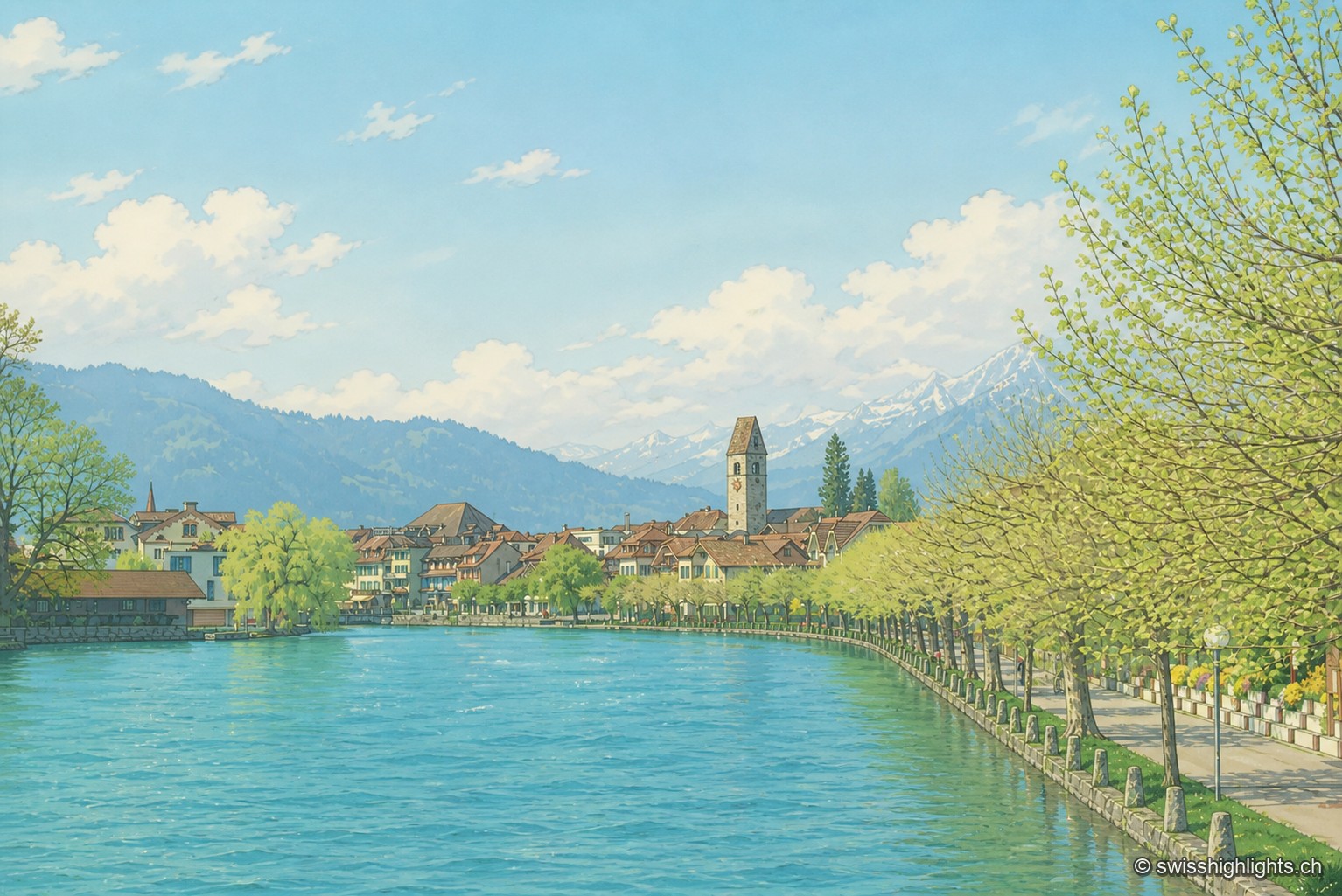
Along the turquoise waters of the Aare, the houses of Unterseen line up behind a row of trees, overlooked by the church bell tower, with the snow-covered peaks of the Bernese Oberland on the horizon.

Bödeli town · Bern

Unterseen

Built on the north bank of the Aare facing Interlaken, Unterseen burned in 1364 and again in 1470; Bern had it rebuilt around a central town house. Its log façades date from the seventeenth to the nineteenth century.
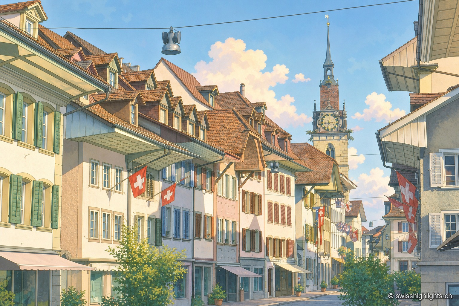
A cobbled street in the old town of Zofingen is lined with colourful gabled facades and shops; Swiss flags hang from the windows, and in the distance stands the clock tower of the church, under a blue sky with white clouds.

Medieval small town · Aargau

Zofingen

Founded by the Froburgs at the end of the twelfth century, the town narrowly missed the great railway junction, which formed at Olten instead. Ten of its monuments are cultural property of national significance.
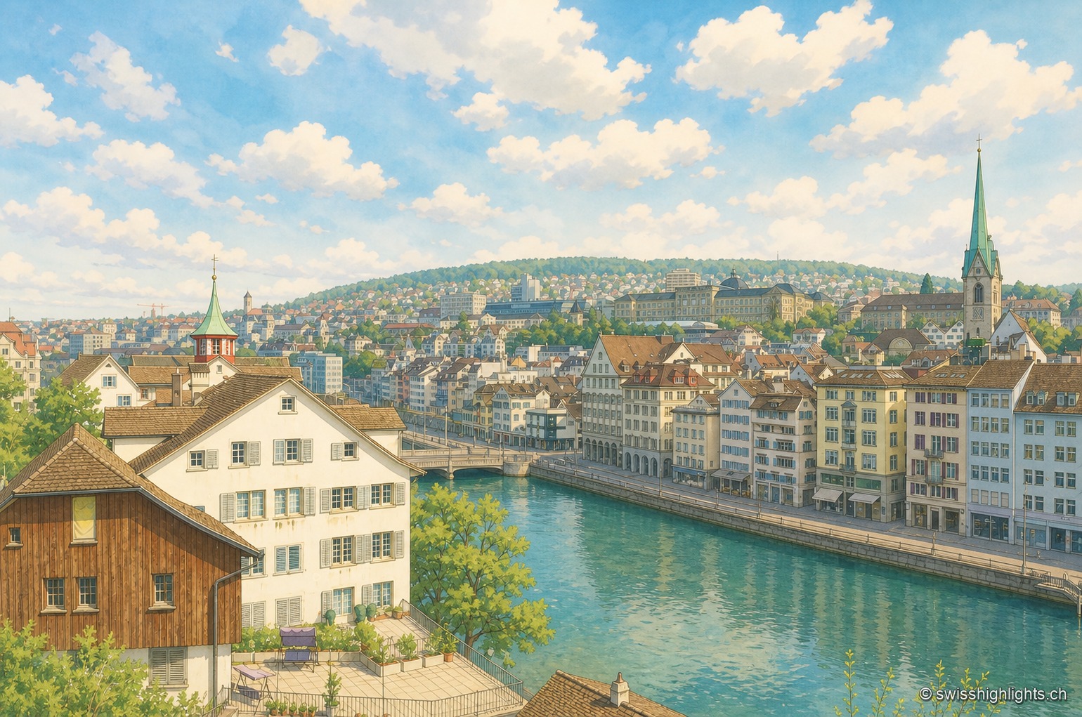
Along the emerald-green waters of the Limmat, the continuous facade of houses on the Zurich quay lines up on the right, with the church spires rising above the city in the background; in the foreground on the left, a large brown half-timbered building stands next to a white house, behind a metal railing running along the water.

Cantonal capital · Zurich

Zurich

433,989 inhabitants in December 2023, a river people swim across in summer, a 869-metre summit at the end of a train line: Zurich fits into a corridor three to four kilometres wide.