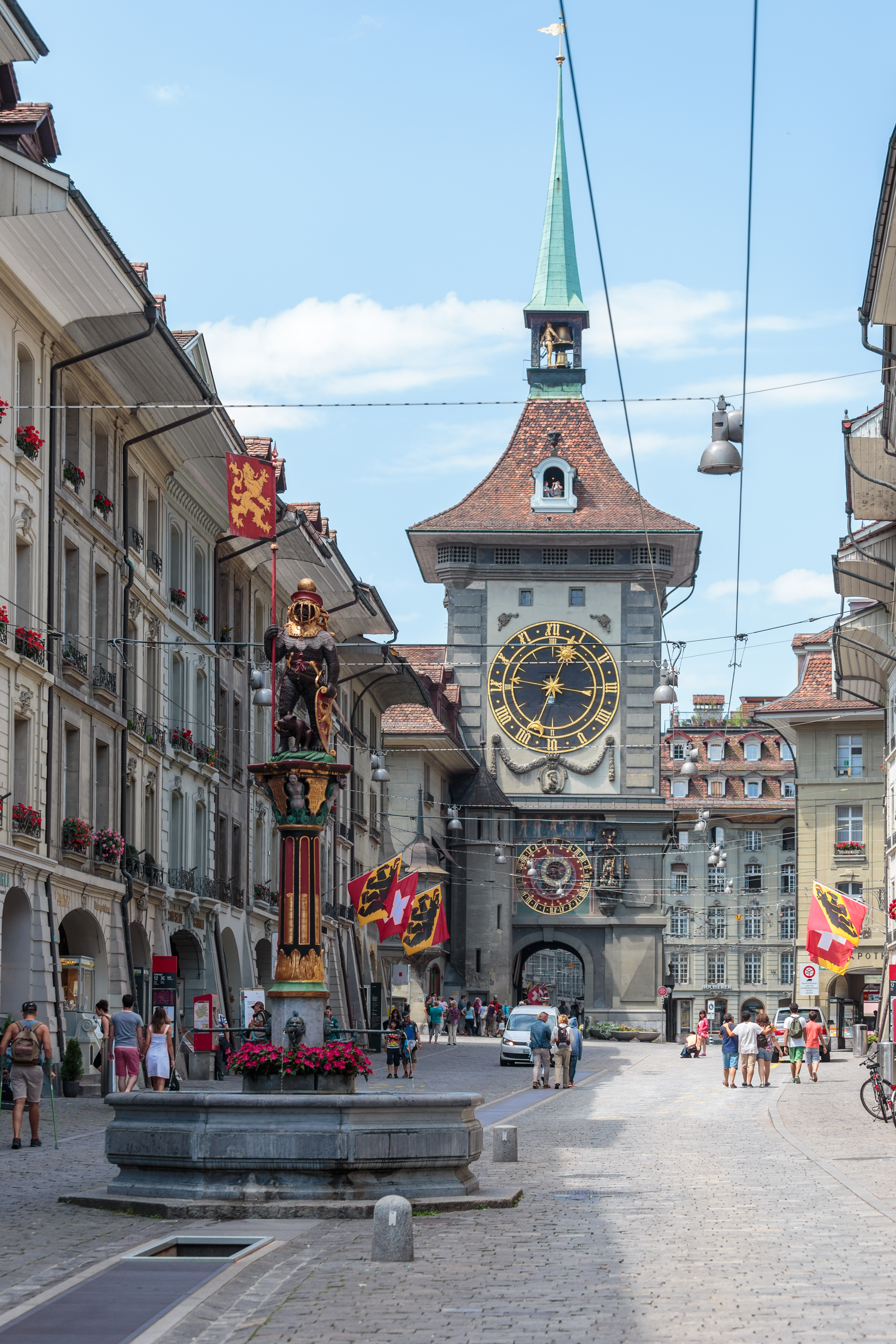
The Kramgasse in Bern, lined with sandstone buildings with arcades: in the foreground the Zähringerbrunnen, a painted fountain topped with a bear in armour, and in the background the Zytglogge tower with its golden clock face and green spire.

Bern

Regions

The canton of Bern brings together 29 places referenced on Swiss Highlights: 15 natural sites, 1 heritage or cultural site, 9 villages and 4 towns.

Not to miss

The Kramgasse in Bern, lined with sandstone buildings with arcades: in the foreground the Zähringerbrunnen, a painted fountain topped with a bear in armour, and in the background the Zytglogge tower with its golden clock face and green spire.

Old town · Bern

Bern, Old Town

More than six kilometres of arcades, 16th-century fountains and the Zytglogge tower set the rhythm of a centre rebuilt in sandstone after the fire of 1405.
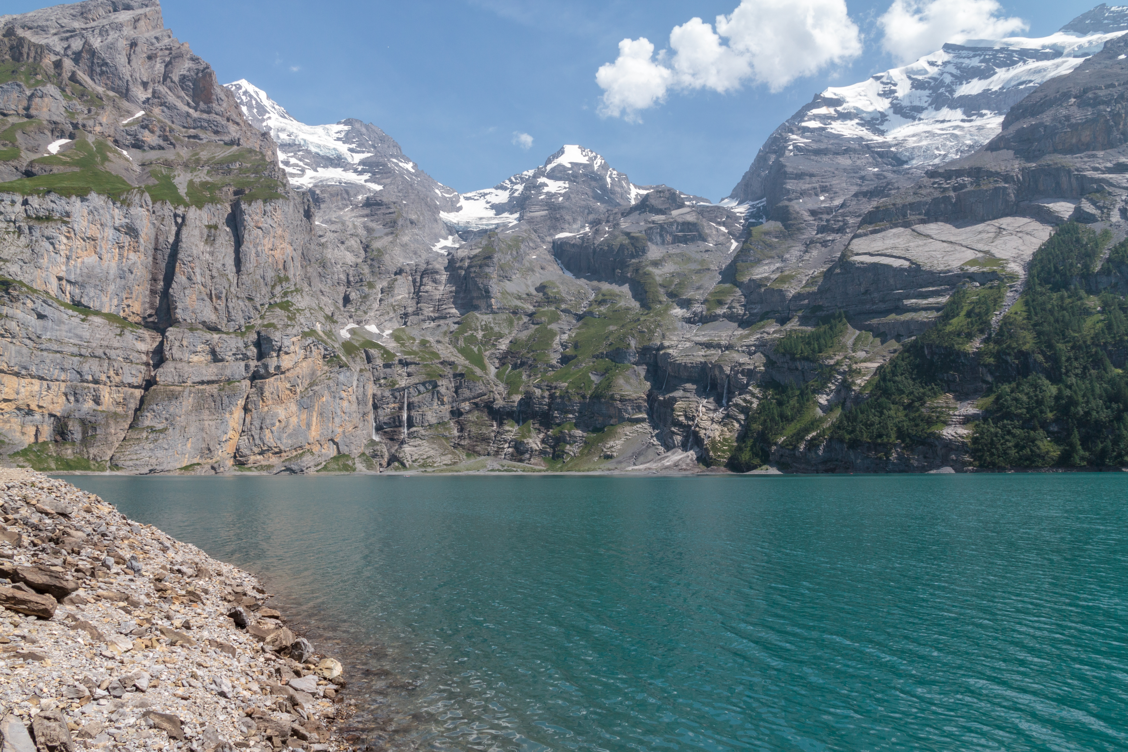
The turquoise waters of Lake Oeschinen hemmed in by high limestone walls streaked with snow patches, seen from a fir-wooded promontory, under a changeable sky.

High-altitude lake · Bernese Oberland

Oeschinensee

A lake of 1.1 square kilometres held at 1578 metres by rock masses fallen from the Fründenhorn and the Doldenhorn, with no surface outflow, at the western edge of the UNESCO property Swiss Alps Jungfrau-Aletsch.

Related collections

UNESCO World Heritage · Best Swiss Villages members · “The 50 most beautiful sites” (Switzerland Tourism)

Bern, Old TownBerthoud (Burgdorf)BönigenBüren an der AareTrümmelbach FallsEigerErlachErlenbach im SimmentalGimmelwaldGoldenPass ExpressAare GorgeGorges de la SuzeGrande CariçaieHalenInterlakenJungfraujochKleine ScheideggLa NeuvevilleLake BielLake BrienzLake ThunJungfrauMönchMürrenOeschinenseeRüeggisbergSchilthornTitlisUnterseen
Interactive map — schematic view of Switzerland.
The Kramgasse in Bern, lined with sandstone buildings with arcades: in the foreground the Zähringerbrunnen, a painted fountain topped with a bear in armour, and in the background the Zytglogge tower with its golden clock face and green spire.

Old town · Bern

Bern, Old Town

More than six kilometres of arcades, 16th-century fountains and the Zytglogge tower set the rhythm of a centre rebuilt in sandstone after the fire of 1405.
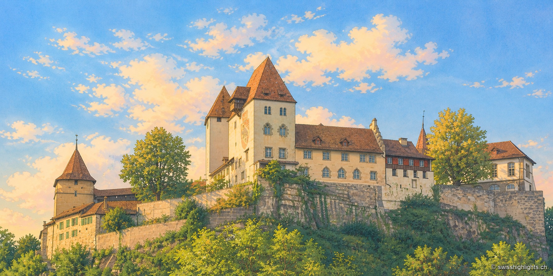
Burgdorf Castle seen from below, at the end of the day: set on a rocky, vegetation-covered outcrop, a square keep with a steep roof, a pale residential wing with blue shutters, and a round tower capped with tiles, under a blue sky streaked with clouds; the raking light illuminates the south-facing façades.

Emmental town · Bern

Berthoud (Burgdorf)

The castle holds the sandstone spur above the town; its name appears as early as 1084. In 1273 the Goldene Handfeste set the town's law in writing, in force for five centuries. In 1899 the line to Thun made it a laboratory of electric traction.
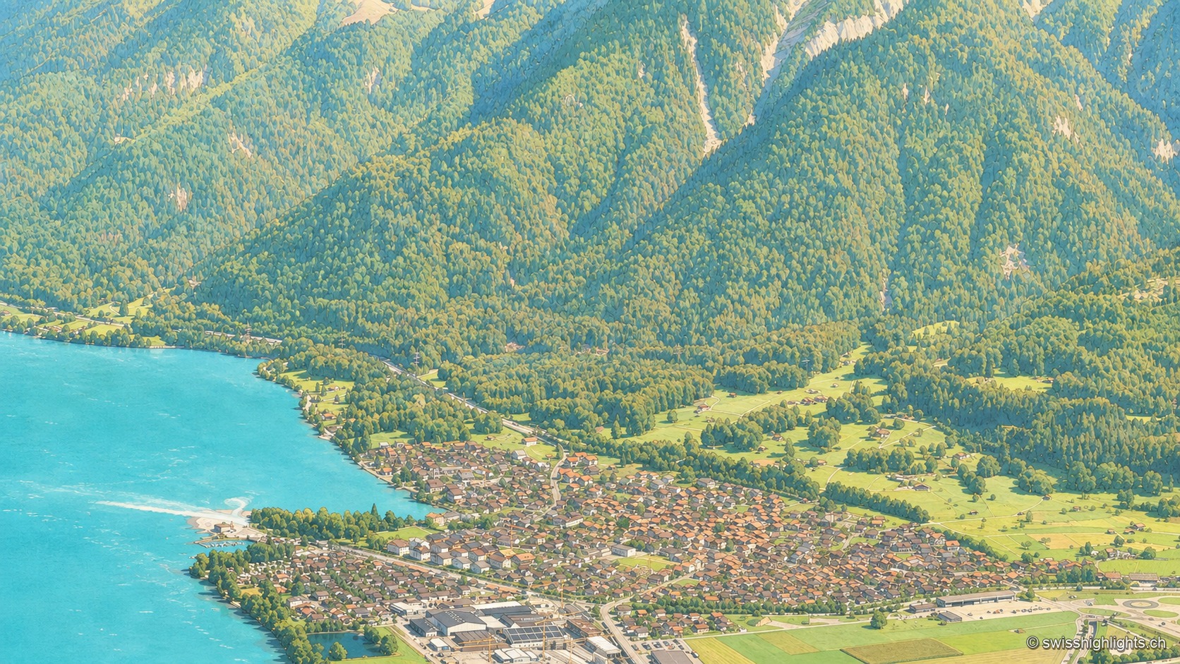
An aerial view from the Harderkulm over the village of Bönigen, nestled at the turquoise mouth of the Lütschine where it flows into Lake Brienz; the village roofs line up between the turquoise water and green meadows, at the foot of steep, fully wooded slopes rising toward the head of the valley.

Bernese village · Lake Brienz

Bönigen

Bönigen, at the mouth of the Lütschine into Lake Brienz, was an imperial fief of the barons von Eschenbach ceded to Interlaken convent in 1261; the village refused the Protestant Reformation in 1528 and today has 2,786 inhabitants.
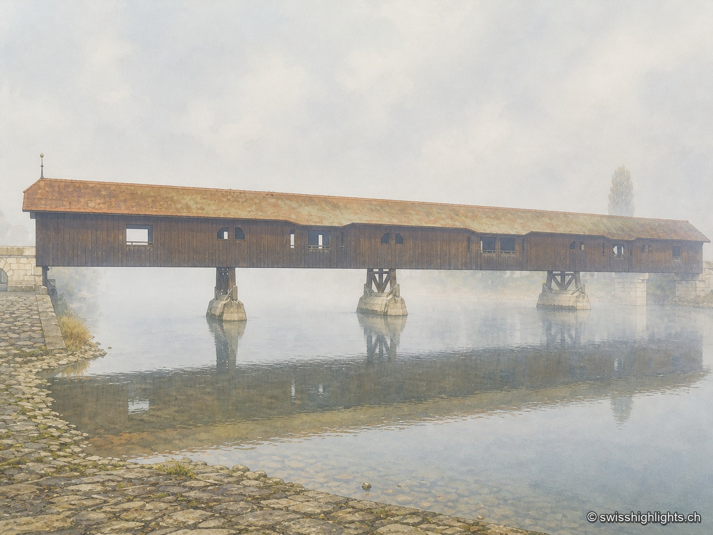
The covered wooden bridge of Büren an der Aare seen from the side on a foggy morning: a long dark wooden deck under an ochre tiled roof, carried on masonry piers in the middle of the Aare, above which mist rises over the calm water; in the foreground, the paved riverbank.

Medieval small town · Seeland

Büren an der Aare

A timber crossing has linked the two banks since the 13th century. Destroyed eight times by floods, ice or fire, it is now in its ninth version, opened in 1991 after the arson of 1989.
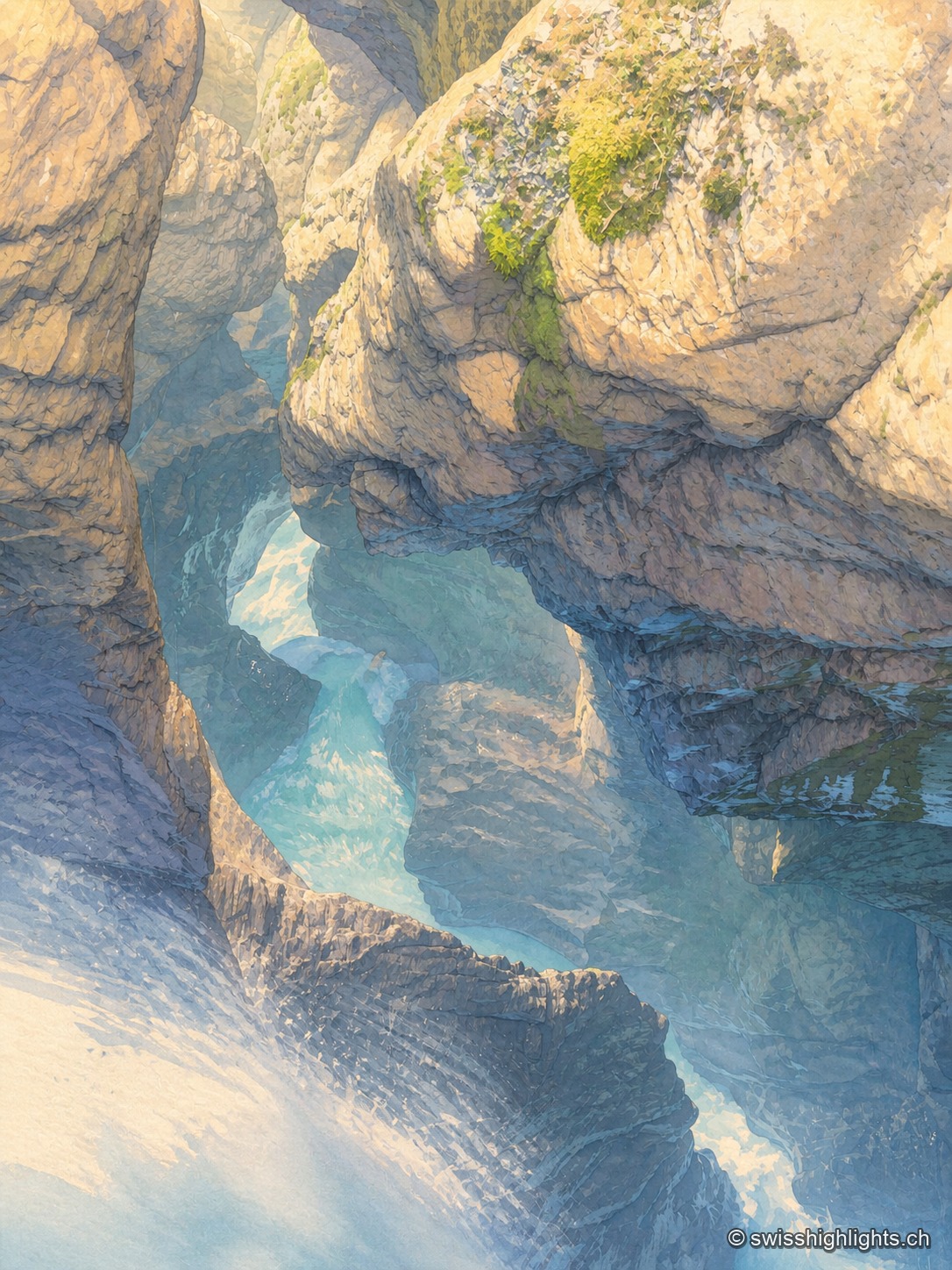
At the bottom of a narrow gorge, the milky turquoise water of the Trümmelbach glides in long exposure between walls of polished limestone; mist rises from the current, and a few tufts of green moss catch the light on the overhanging rock.

Underground falls · Bernese Oberland

Trümmelbach Falls

The Trümmelbach alone drains the glacier faces of the Eiger, the Mönch and the Jungfrau: up to 20,000 litres a second in a gorge so narrow that daylight no longer reaches the upper falls.
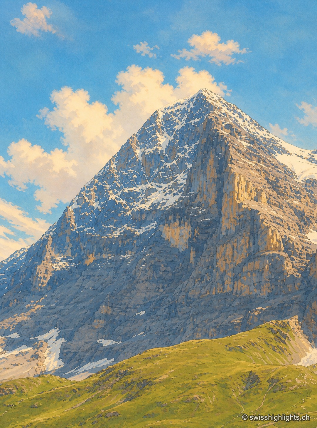
The north face of the Eiger seen head-on in summer: a wall of dark limestone streaked with tilted strata, topped by a snow-covered summit pyramid under wispy clouds, with grassy slopes and snow patches at the foot of the face.

Summit · Bernese Alps

Eiger

The Eiger carries its summit to 3,967 metres above Grindelwald. Its north face, about 1,650 metres high, was not climbed until July 1938; since 1912 a railway has run through the mountain itself.
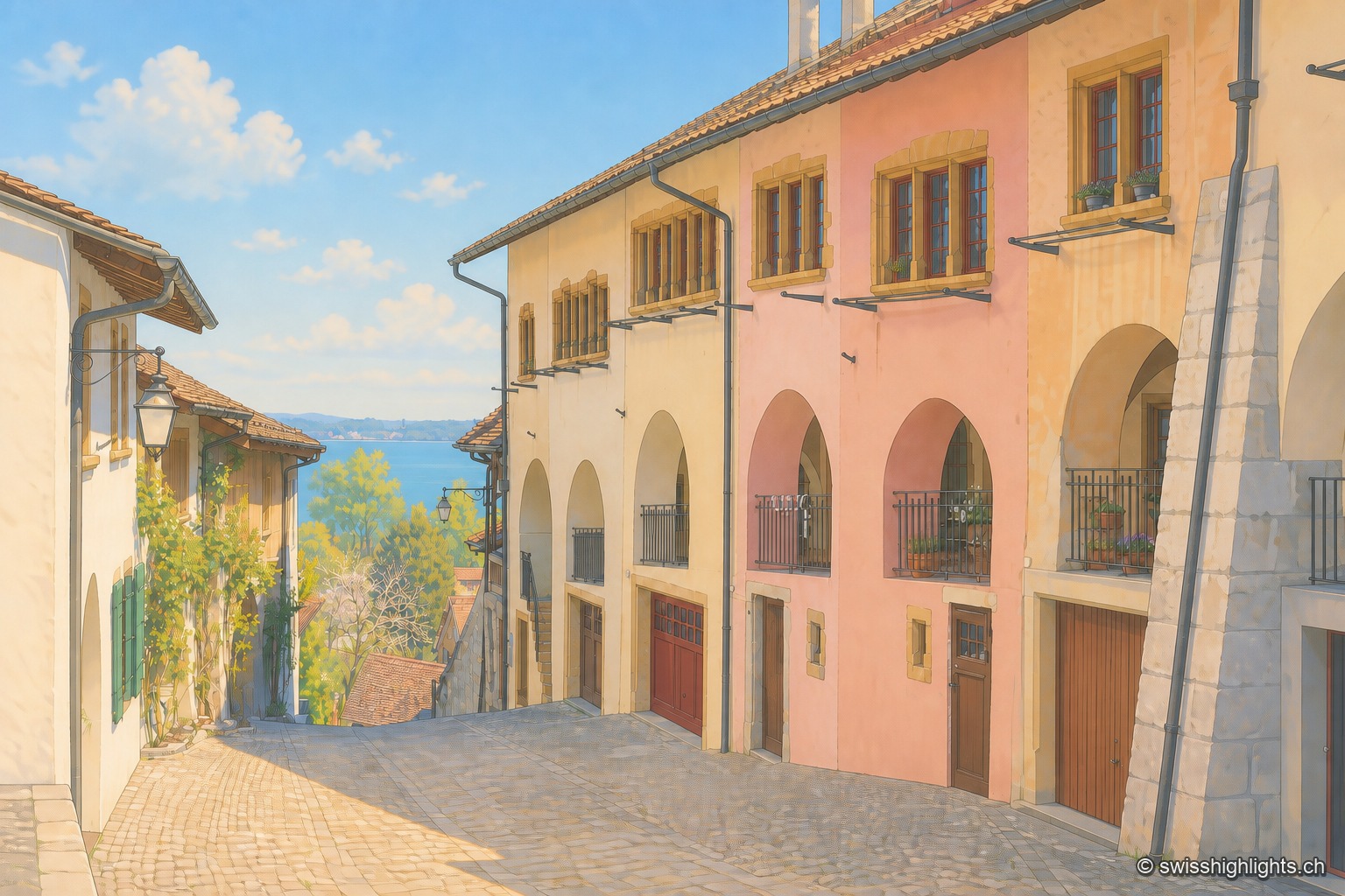
Cobbled lane in Erlach's old town running down toward Lake Biel: on the right, a row of houses with pink, cream and ochre façades pierced by round arches and wrought-iron balconies; in the distance, the lake's surface glitters under a clear blue sky.

Medieval town · Lake Biel

Erlach

The castle that has overlooked Erlach since the year 1100 gave its name to the patrician von Erlach family; the town, a member of Switzerland's Most Beautiful Villages since 2017, looks out from Jolimont hill toward St Peter's Island.
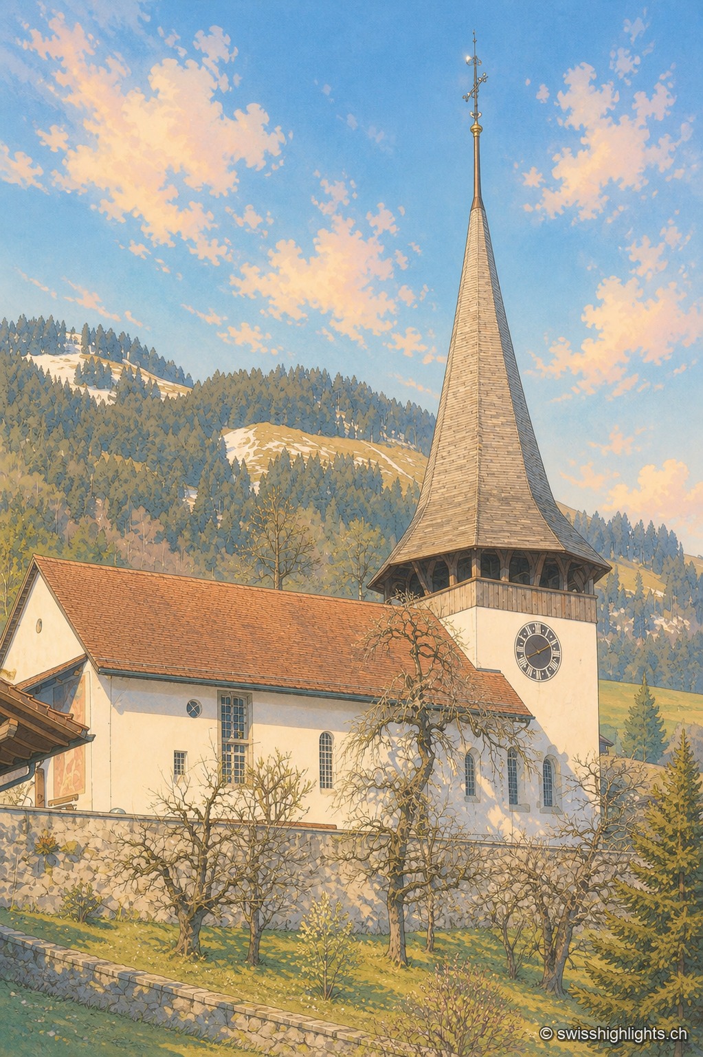
The Reformed church of Erlenbach im Simmental, with its white facade and pointed spire, at the foot of the Bernese Prealps.

Gothic frescoes, birthplace of the Amish

Erlenbach im Simmental

Whitewashed over during the Reformation (1527/28), the church's Gothic frescoes were thereby preserved until their restoration in 1931-32. An organ built in 1812 by Johannes Stölli completes this Bernese heritage.
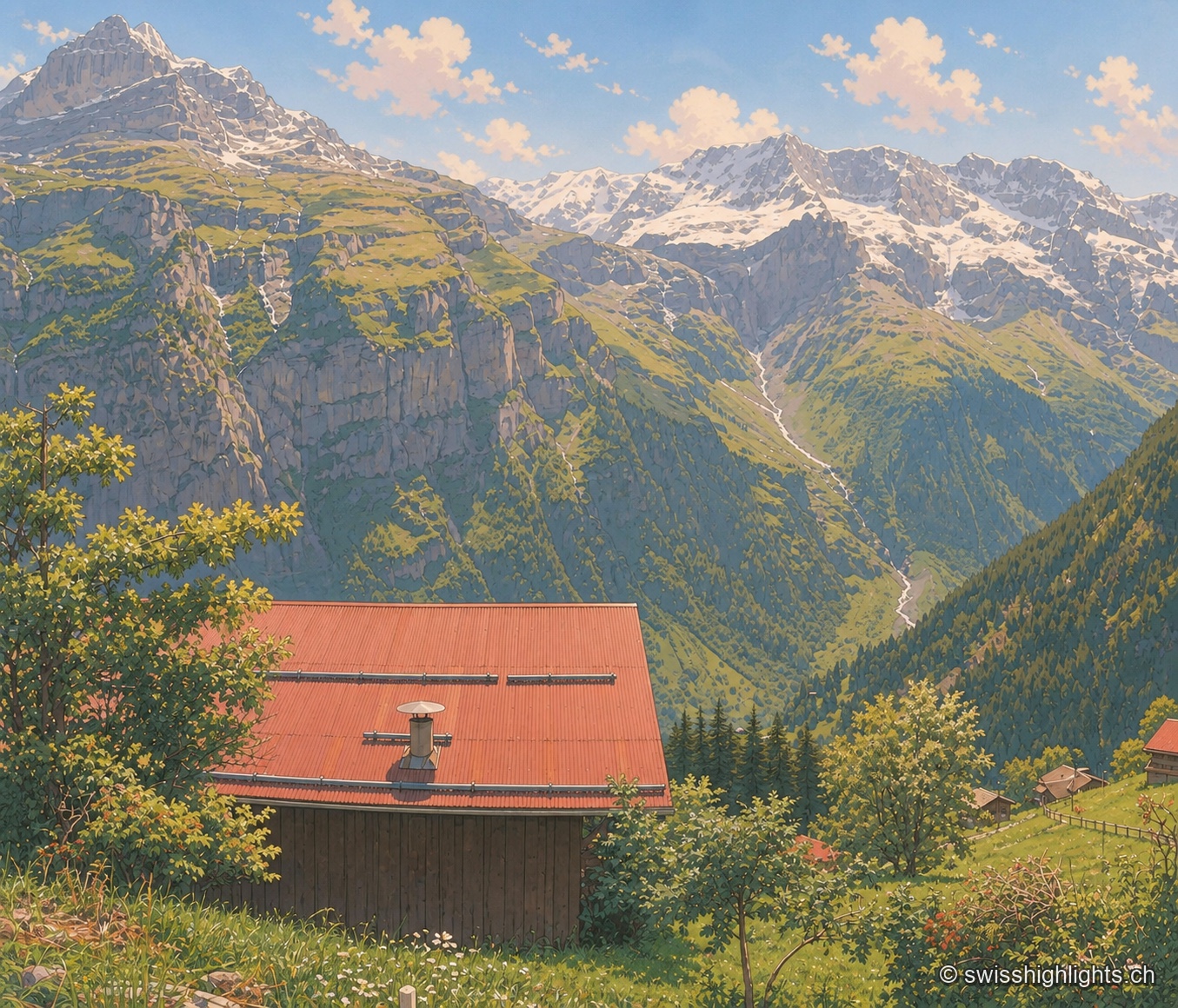
The red corrugated roof of a wooden chalet fills the foreground, with a round white chimney set on it; behind, a meadow of tall grass and wildflowers slopes down toward a wooded valley where a stream, white with melted snow, winds along. In the background, a chain of rocky, glaciated peaks stands out under a blue sky with scattered clouds, in the crisp light of midsummer.

Car-free mountain village · Bern

Gimmelwald

130 inhabitants in 2003, a Walser house from 1658, an access still impossible by car: Gimmelwald stands at 1,367 m between Stechelberg (867 m) and Mürren (1,650 m), at the foot of the Jungfrau-Aletsch UNESCO site.
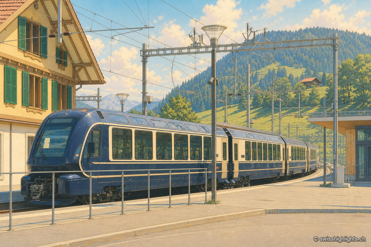
At the platform in Zweisimmen station, the GoldenPass Express train shows off its rounded midnight-blue nose and cream body outlined with a golden stripe, with wide windows running its full length. On the left, a wooden chalet with green shutters bears the station's name; behind the train, mown meadows and woods rise toward the ridges of the Simmental under a summer sky with cumulus clouds.

Railway line · Vaud–Bern

GoldenPass Express

Between Lake Geneva and the Bernese Oberland the train moves from 1,000-millimetre track to 1,435: the wheels spread apart and the body adjusts to platforms that rise from 300 to 560 millimetres.
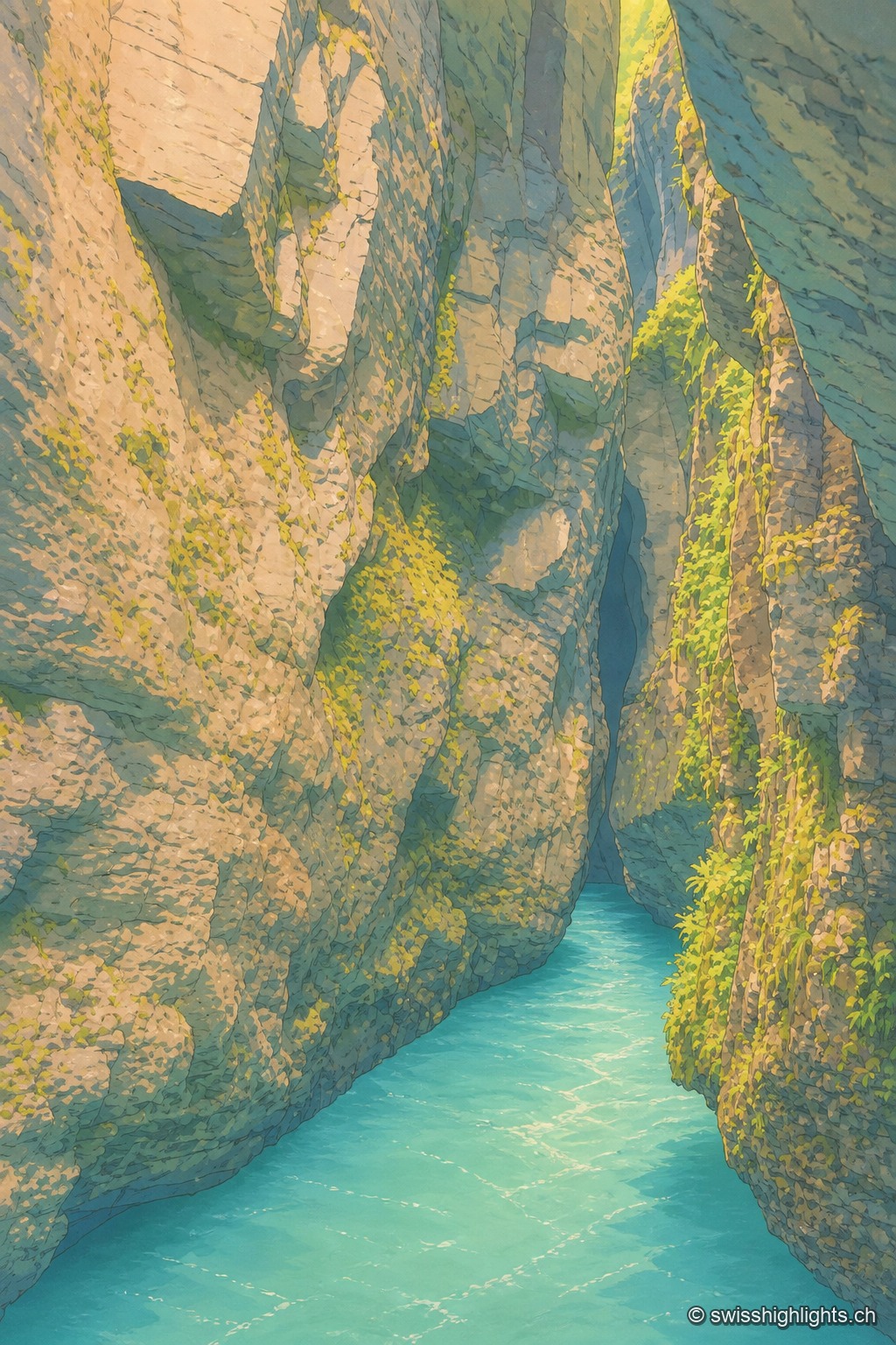
Vertical view at water level, turquoise water filling the entire bottom of the frame: the limestone walls of the gorge narrow into a dark, tight passage, mossy and covered with bright green ferns on the right, up to a black crevice at the very top, the only opening for light.

River gorge · Bernese Oberland

Aare Gorge

A path was opened to visitors here in 1888; electric lighting for night walks dates from 1912. 1,400 metres long, the gorge reaches 180 metres deep and narrows in places to 1 metre wide.
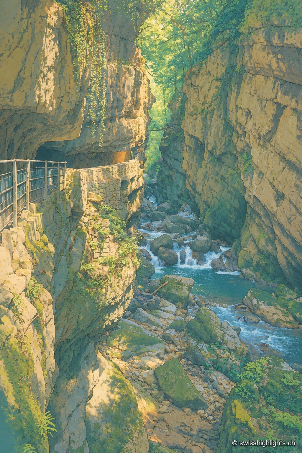
A metal walkway clings to the rock face of a narrow, wooded gorge, overlooking a turquoise torrent cascading between large boulders; the dark, moss-covered rock frames a break of light and green foliage at the top of the frame.

Limestone gorge · Biel, Bern

Gorges de la Suze

A footpath was laid out there in 1889; the gorge was placed under partial nature protection from 1927. The name Taubenloch, attested since 1532, remains of uncertain origin despite several competing explanations.
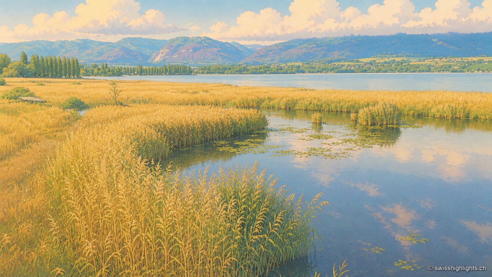
A vast golden reed bed of the Grande Cariçaie crossed by a calm water channel dotted with water lilies, which joins Lake Neuchâtel lined with a row of poplars; on the horizon, the hills of the Jura rise in tiers under a summer sky heavy with cumulus clouds.

Lakeshore marsh · Lake Neuchâtel

Grande Cariçaie

Eight intercantonal nature reserves cover about 3,000 hectares of reedbed, marsh and flooded forest. The landscape only exists because the Jura water correction lowered the lake by 2.7 metres between 1868 and 1891.
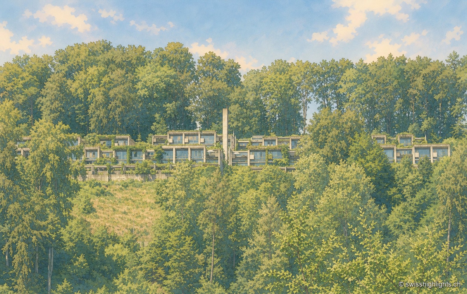
An aerial view of the Siedlung Halen: the flat-roofed row houses line up in terraces in the hollow of a densely wooded valley, almost hidden beneath the canopy.

Row-house estate · Bern

Halen

78 dwellings and 5 studios in three terraced rows, exposed concrete, gardens closed off by walls: Atelier 5's Siedlung Halen is listed as a cultural property of national significance.
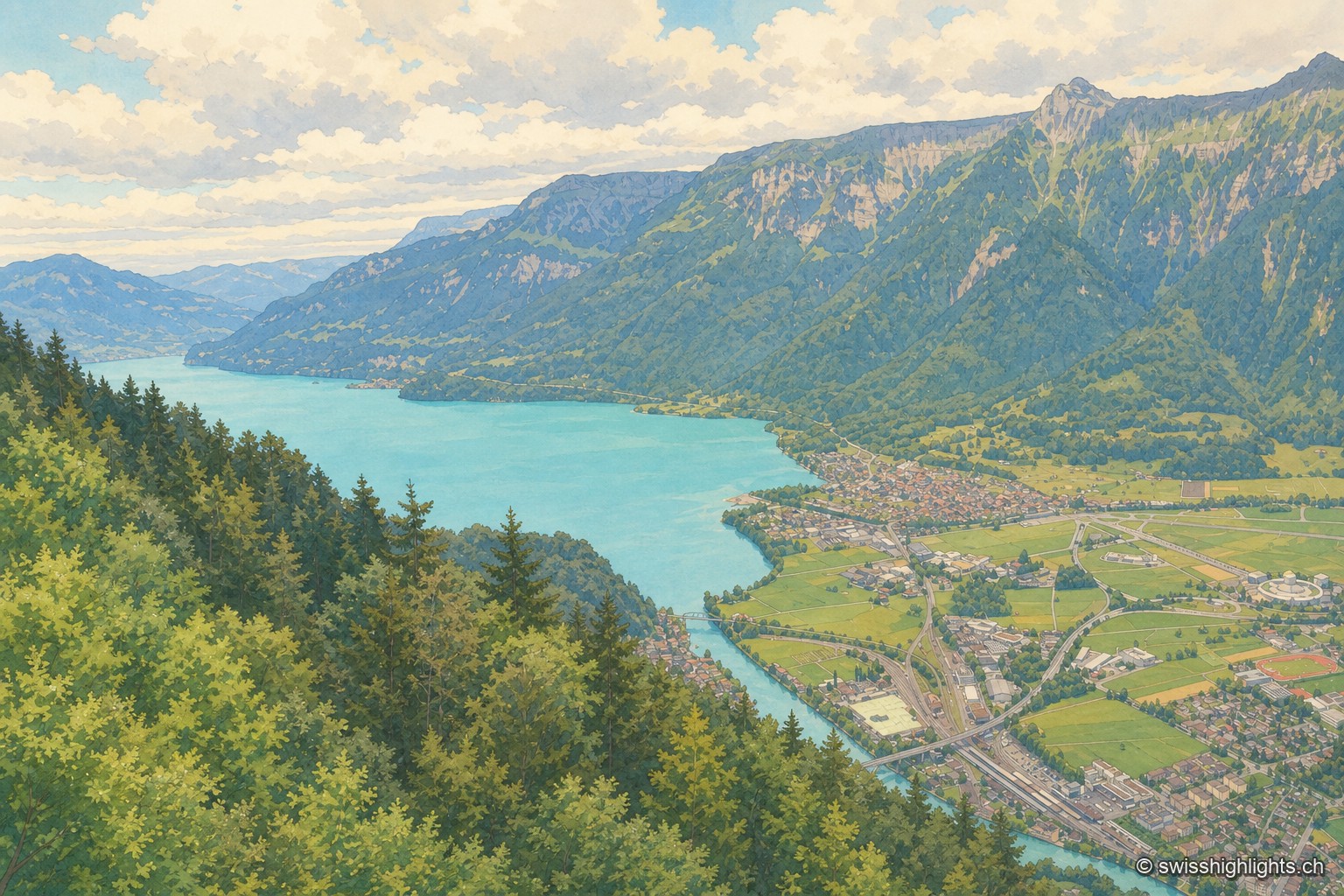
From a wooded ridge, the view plunges over the turquoise Lake Brienz, then over the Interlaken plain crossed by the river, before the steep mountain wall closes the horizon under a cloud-laden sky.

Town · Bernese Oberland

Interlaken

A municipality of 6,123 inhabitants on a flat tongue of land four kilometres wide between two lakes. Its Latin name dates only from 1891: before that it was Aarmühle, the mill on the Aare.
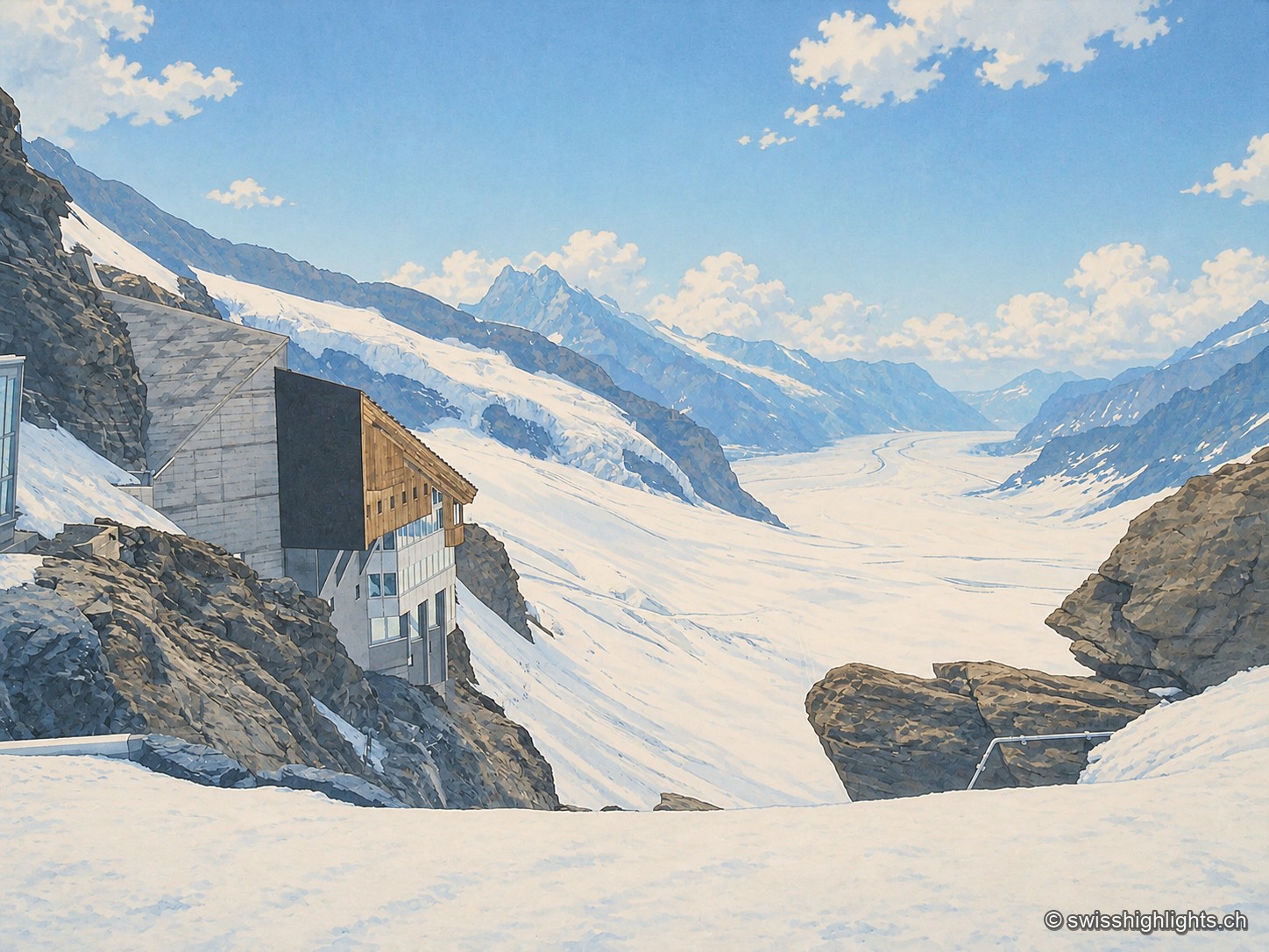
From the rocks of the Jungfraujoch, a building with concrete walls and wooden cladding, largely glazed, clings to the rock face; below stretches the long white flow of the Aletsch glacier, framed by snow-covered peaks, under a blue sky streaked with clouds.

Railway pass · Bernese Alps

Jungfraujoch

The line, proposed in 1893 by Adolf Guyer-Zeller and completed in 1912 after 7.1 km of tunnel under the Eiger and the Mönch, reaches 3,454 metres. The site drew more than a million visitors a year between 2017 and 2019.
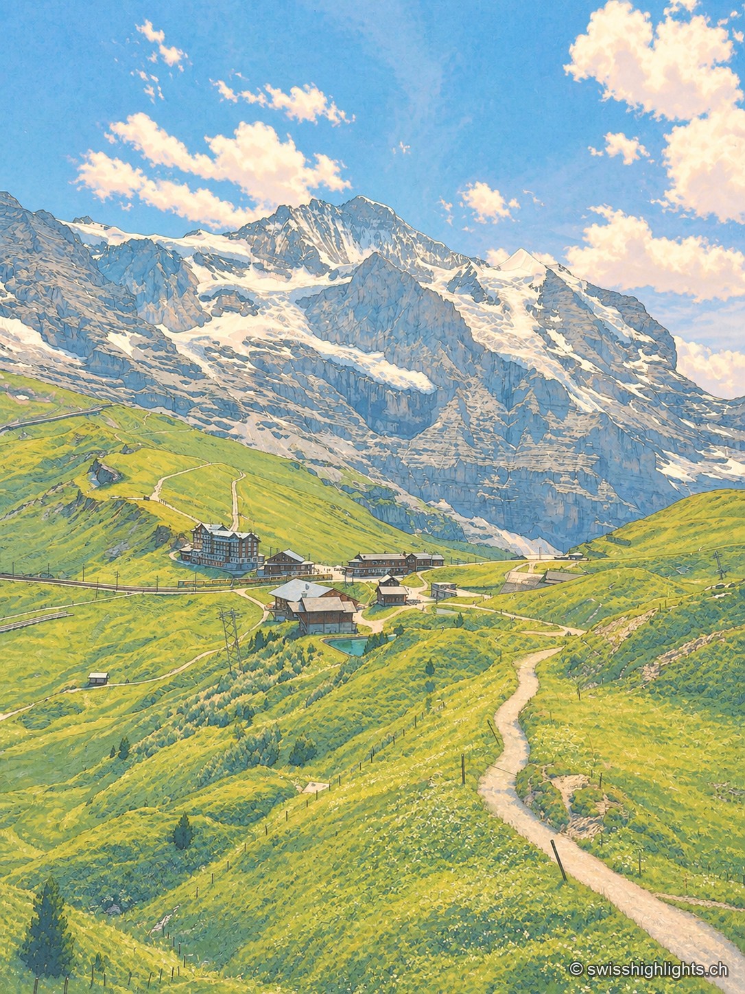
Portrait-format view from a trail on the Kleine Scheidegg: a path descends between green slopes toward mountain buildings and the railway line, facing the imposing north face of the Eiger dominating the horizon.

Railway pass · Bernese Oberland

Kleine Scheidegg

The pass divides only the two arms of the Lütschine, hence its name, the minor watershed. From it the Eiger at 3,967 metres, the Mönch at 4,110 and the Jungfrau at 4,158 appear at once. The first hotel was built here in 1840.
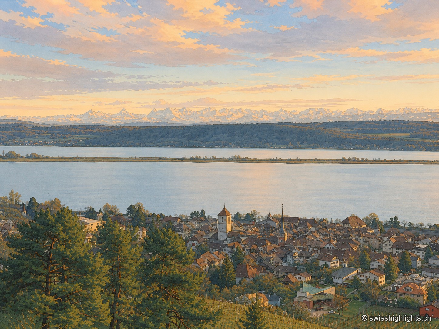
La Neuveville seen from above, from the vineyard, at dusk: the brown roofs of the old town and its two church towers huddle at the edge of Lake Biel, its pale water crossed by the Heidenweg dike; in the distance, under a pink and grey sky, the snow-capped Alps close the horizon. A large pine tree occupies the foreground on the left.

Medieval town · Lake Biel

La Neuveville

Cobbled streets, fountains and coloured shutters between water and vines. The Schlossberg holds the cliff above the roofs; outside the walls, the Blanche-Église keeps frescoes from the 14th and 15th centuries.
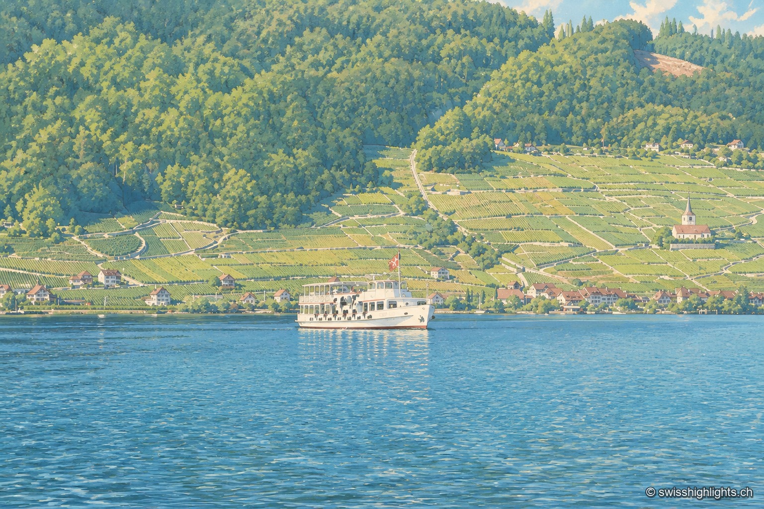
The north shore of Lake Biel seen from the water: a slope entirely planted with terraced vineyards, turning yellow, descends to the red-roofed houses along the shore; a small white church stands out on the right, dark forest closes off the top of the hillside. On the green-blue lake, a white two-deck boat with a Swiss flag at the stern skirts the shore; the foreground is occupied by smooth, gently rippled water.

Lake at the foot of the Jura · Bern

Lake Biel

39.3 km² of surface, 74 metres at its deepest, a catchment of 8,305 km² fed mainly by the Aare since 1878: Lake Biel is a landscape doubling as a piece of hydraulic engineering.
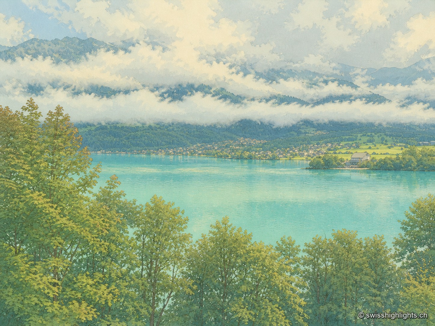
High-angle view over the lake from a wooded slope: in the foreground, the tops of maples and ash trees frame the water; in the middle, a milky turquoise expanse crossed by a light-colored sandbank and a boat's wake; on the opposite shore, a village stretched along the water's edge with its vivid meadows; above, a long trail of white clouds resting midway up dark wooded slopes, under an overcast sky.

Glacial lake · Bern

Lake Brienz

No lake in Bern runs deeper. Its colour comes from the glacial milk the Aare and the two Lütschine unload into it — 300,000 tonnes of particles a year: near blue in winter, milky grey in high August.
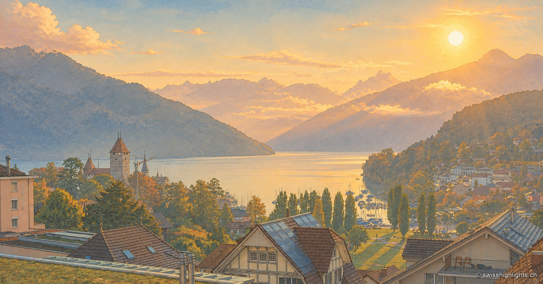
View from the heights of Spiez in the early morning: the rising sun sets the sky and clouds ablaze in orange hues above the mountains, while the castle tower and church steeple stand out among the trees, overlooking the marina and the village rooftops stretching along the shore of Lake Thun.

Alpine lake · Bernese Oberland

Lake Thun

Fed by the Kander and 18 km long, Lake Thun carries the castles of Spiez and Oberhofen on its shores. Between 1945 and 1964 the army sank up to 4,600 tonnes of munitions into it, whose effect on the lake's fish remains unexplained.
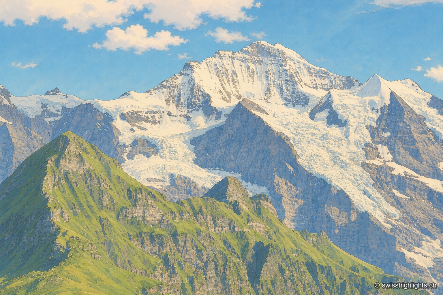
The Jungfrau massif seen from a neighboring peak: in the foreground, a green grassy ridge stands out against the rocky and glaciated wall, streaked with snowfields and hanging glaciers descending from the ridges; to the right, a darker rocky peak is outlined against a blue sky dotted with large white clouds.

Summit · Bernese Alps

Jungfrau

The mountain overlooks Lauterbrunnen, Grindelwald and Lake Thun. Since 1912 a rack railway has climbed to the Jungfraujoch, above 3,400 metres. The Jungfrau-Aletsch site has been a World Heritage property since 2001.
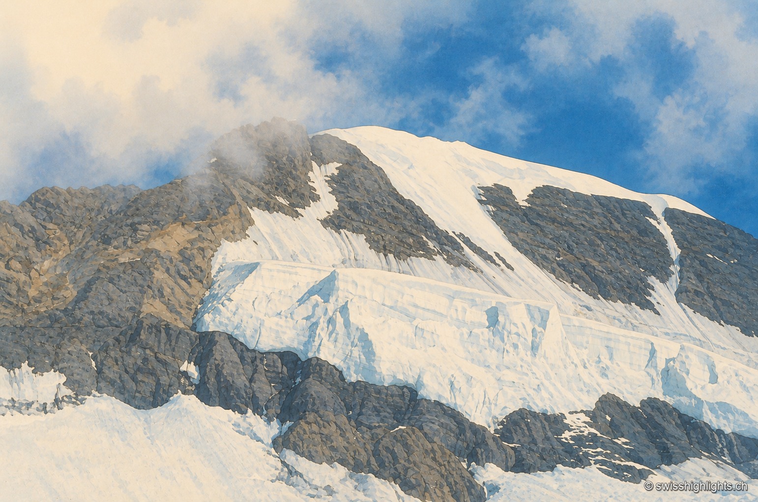
Close-up of the summit ridge of the Mönch: snow and crevassed ice cover the rock face, a plume of cloud brushes the ridge under a blue sky.

Bernese Alps summit · 4,110 m

Mönch

Middle link of the Eiger–Mönch–Jungfrau chain, it reaches 4,110 metres. Its south face rests on the Jungfraufirn, a tongue of the Aletsch glacier; its name is thought to come from a horse pasture, not from a monk.
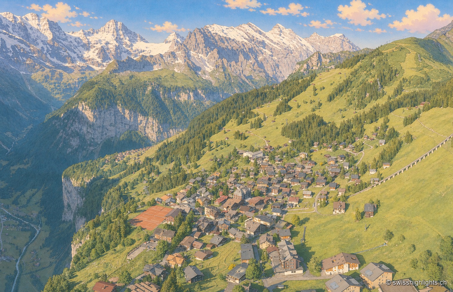
An aerial view of the village of Mürren, its chalets scattered across a wide grassy terrace overlooking the deep, wooded Lauterbrunnen valley, facing a range of snow-capped peaks under a sky streaked with golden clouds.

Car-free village · Bernese Alps

Mürren

Overlooked by the Schilthorn (2,970 m), Mürren was one of the Alps' earliest homes of alpine skiing: the Downhill Only Club forged the discipline there, and Arnold Lunn invented the slalom in 1922. Reachable only by cable car and train.

The turquoise waters of Lake Oeschinen hemmed in by high limestone walls streaked with snow patches, seen from a fir-wooded promontory, under a changeable sky.

High-altitude lake · Bernese Oberland

Oeschinensee

A lake of 1.1 square kilometres held at 1578 metres by rock masses fallen from the Fründenhorn and the Doldenhorn, with no surface outflow, at the western edge of the UNESCO property Swiss Alps Jungfrau-Aletsch.
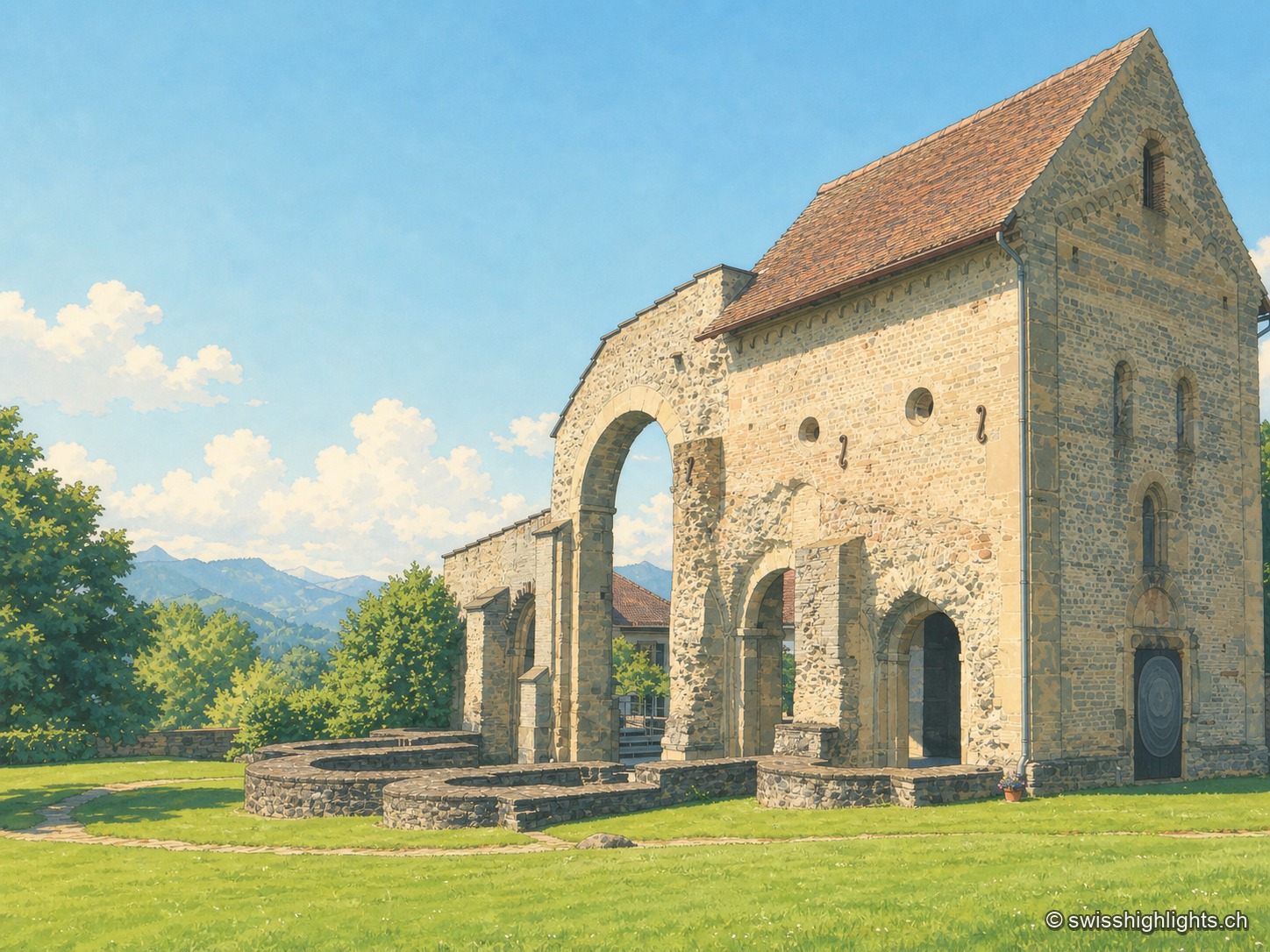
The stone remains of Rüeggisberg priory, Romanesque arcades and wall sections standing on a green lawn, with wooded hills on the horizon under a blue sky.

Village and Cluniac priory · Bern

Rüeggisberg

Founded around the mid-11th century by two monks sent by Abbot Hugues de Cluny, the priory of Rüeggisberg, attested as early as 1075, was never completed to its planned five-apse design before being suppressed in 1484.
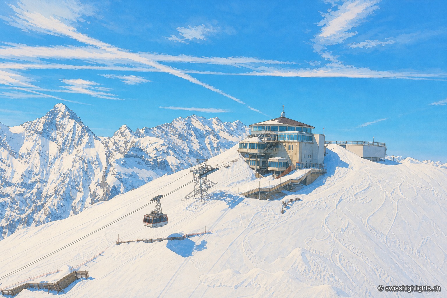
The snow-covered Schilthorn with the Piz Gloria panoramic station and its cable car, rising above a snowy ridge facing the Eiger, Mönch and Jungfrau range under a blue sky.

Summit · Bernese Alps

Schilthorn

No road reaches Mürren or the summit: getting there takes a chain of cable cars, via Gimmelwald and then Birg. The revolving Piz Gloria restaurant, which turns full circle in fifty-five minutes, served as the set for On Her Majesty's Secret Service.
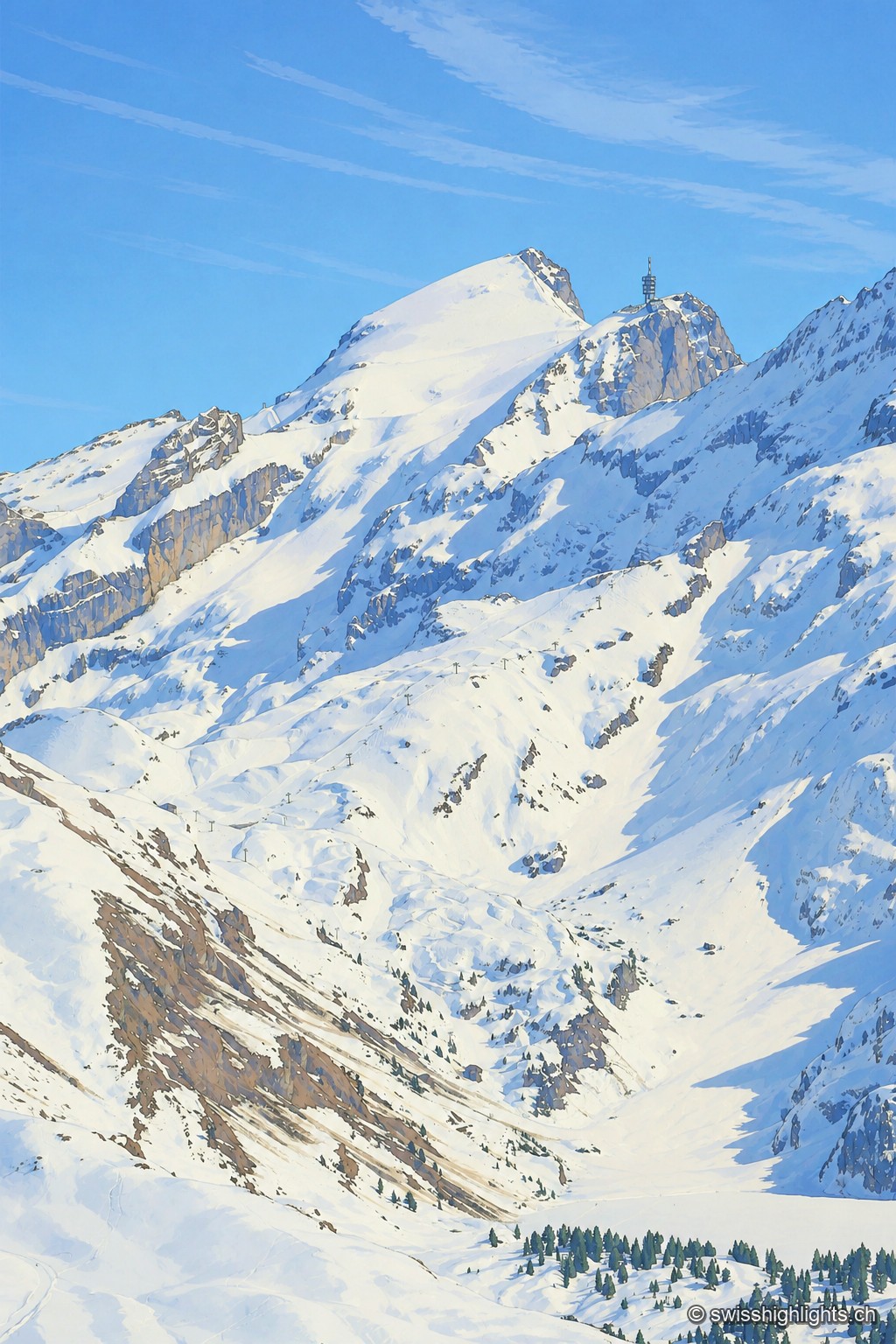
The snow-covered summit of the Titlis rises as a white point against a blue sky, extended to the right by a rocky spur crowned with an antenna tower; below, snowfields and rock walls overlook a wide basin of snow crossed by a ski lift.

Summit · Obwalden–Bern

Titlis

The Titlis reaches 3,238 metres at the end of an east–west limestone ridge. A glacier of 1.7 square kilometres covers its summit area; the upper cable-car station stands at 3,020 metres.
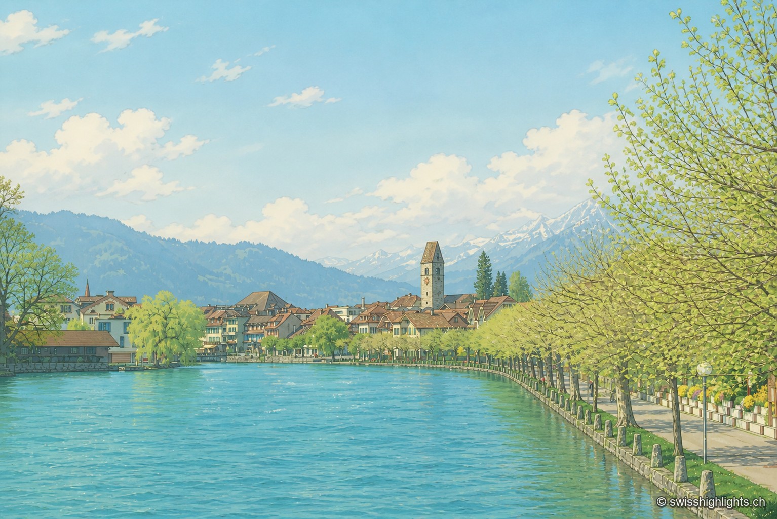
Along the turquoise waters of the Aare, the houses of Unterseen line up behind a row of trees, overlooked by the church bell tower, with the snow-covered peaks of the Bernese Oberland on the horizon.

Bödeli town · Bern

Unterseen

Built on the north bank of the Aare facing Interlaken, Unterseen burned in 1364 and again in 1470; Bern had it rebuilt around a central town house. Its log façades date from the seventeenth to the nineteenth century.