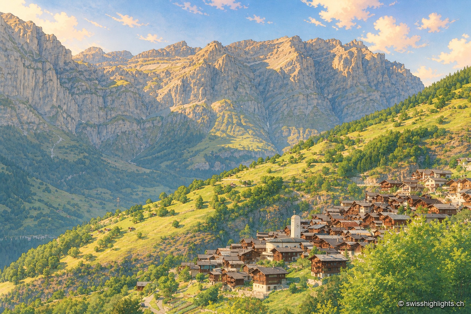
Mountain village · Valais
Albinen
Until the road of 1956, eight wooden ladders fixed to the cliff were the only way to Leukerbad. They are still there, and the village counts 259 inhabitants.
Tourist regions
29 places referenced, across Valais.
An editorial grouping by Swiss Highlights, not an official administrative division.
Family suggestions
Couple suggestions
Mountain village · Valais
Until the road of 1956, eight wooden ladders fixed to the cliff were the only way to Leukerbad. They are still there, and the village counts 259 inhabitants.
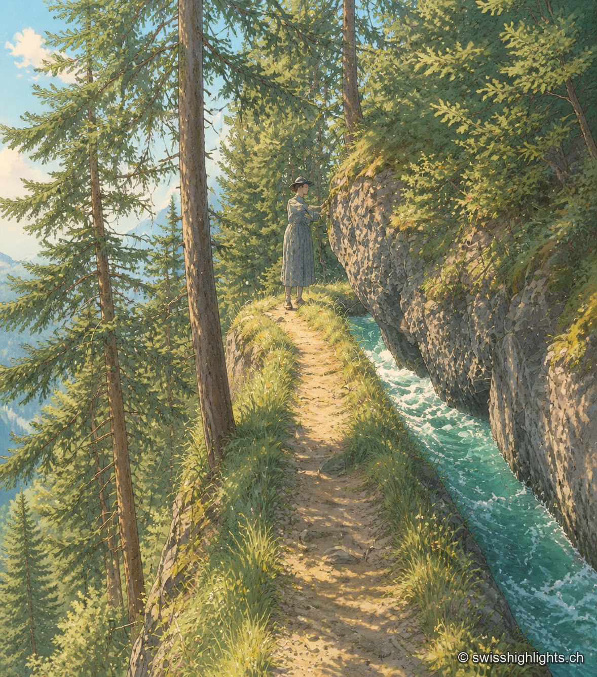
Historic bisse · Crans-Montana
Modified in 1925 to compensate for low stream flow, the Bisse du Ro was abandoned in 1947. Reopened as a trail and partly refilled with water in 2015, its route crosses cliffs secured, on the second half, only by a handrail.
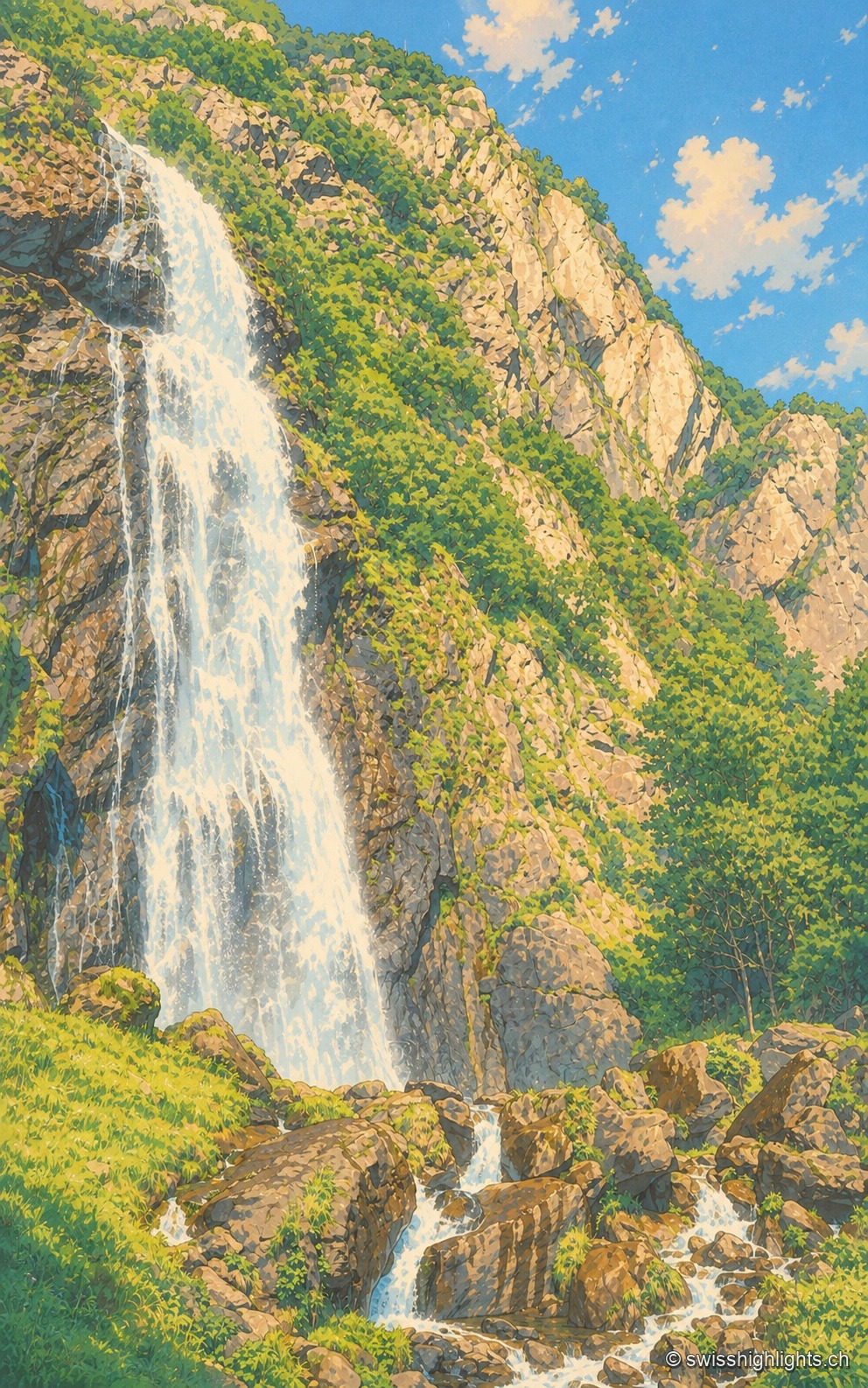
Waterfall · Valais
Looked at since the 17th century, it also turned mills; from 1866 a walkway took visitors under the water. The Salanfe dam, built from 1947 to 1950, has greatly reduced its flow.
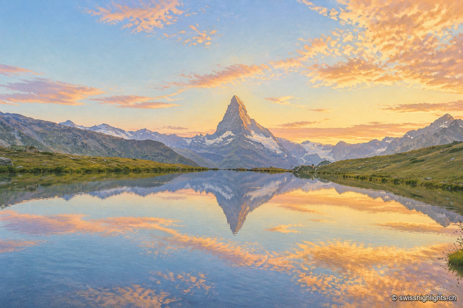
Peak · Valais and Aosta Valley
Four faces close 400 metres below the top. The summit ridge, 100 metres long, carries two summits and marks the border; the first ascent, in 1865, cost the lives of four of the seven men who made it.
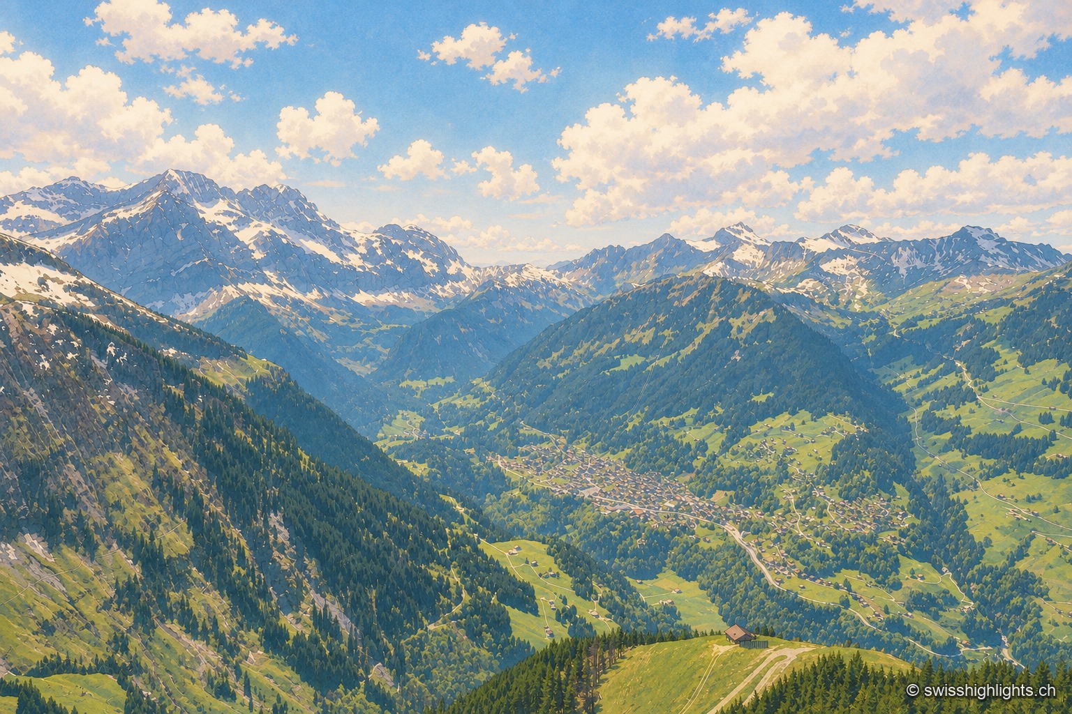
Mountain village · Valais
Tourism began here in 1857 with the opening of a first hotel. From its church of 1725 Champéry kept a bell tower ended by neither roof nor spire but by four stone arches shaped like a crown, listed in 1974.
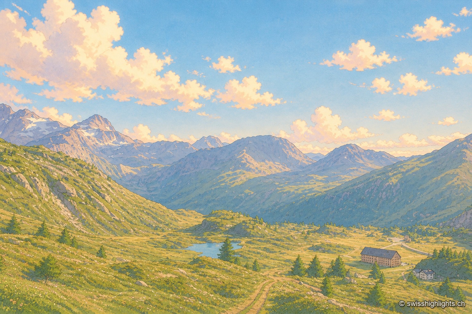
Road pass · Valais
The road crosses at 2,006 metres, a little above the geographical col. Opened between 1801 and 1805 by Napoleon's decree, it runs from Brig to the Ossola valley and takes you from the Rhône to the Po.
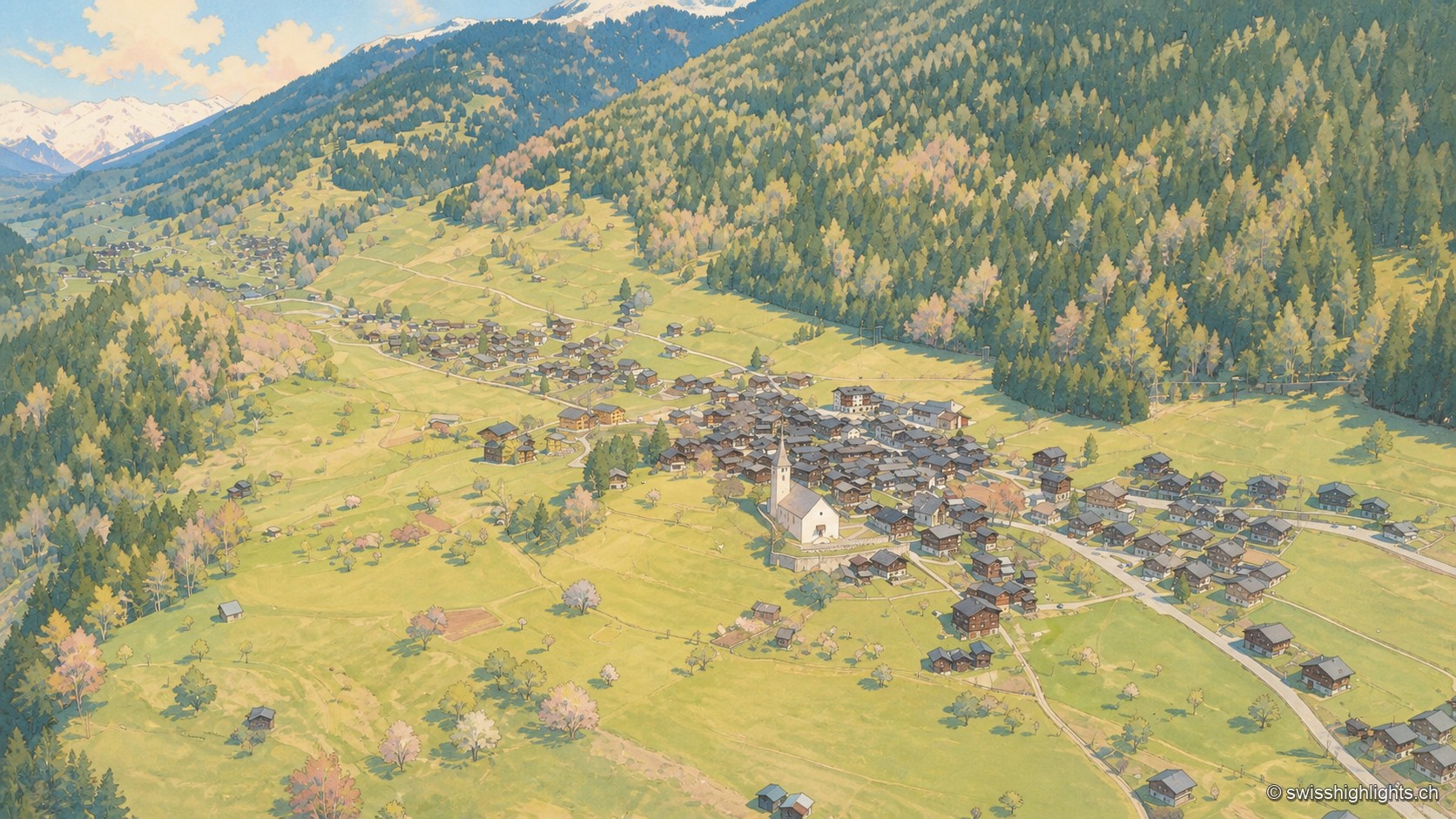
Goms village · Valais
Around a square lined with houses dated from 1511 to 1762 stand a church whose choir was finished in 1518 and the Tellenhaus of 1576, which carries a William Tell scene painted in 1578.
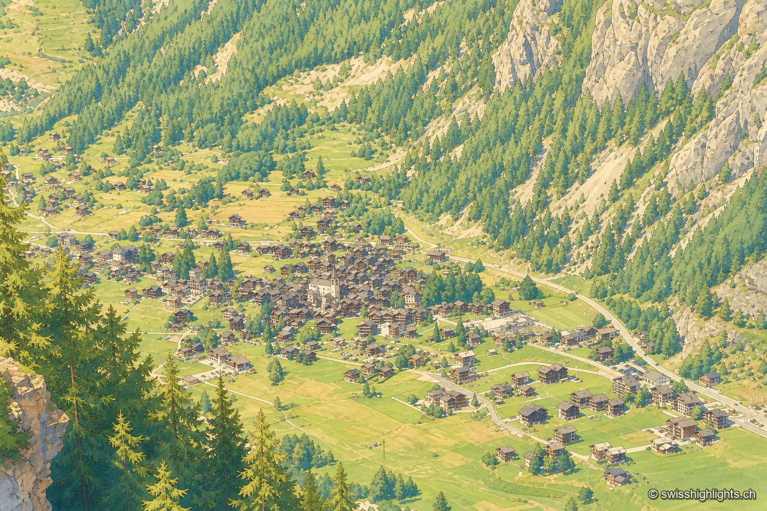
Mountain village · Valais
Nearly 800 inhabitants, a main street of timber houses on stone bases, a parish whose first church dates from 1446. With no carriage road before 1862, the village kept its dialect and its costume longer.
Glacier · Valais
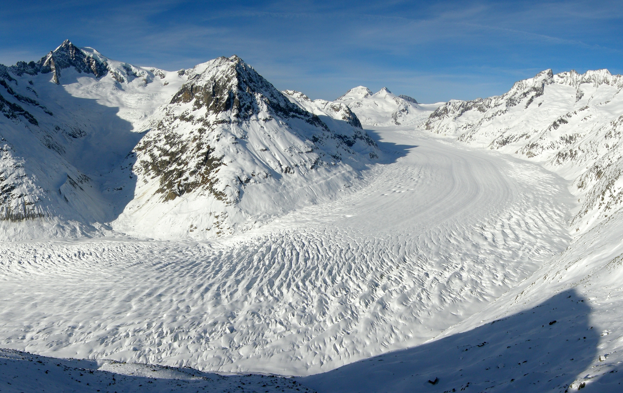
Three rivers of ice meet at Konkordiaplatz to form the largest glacier in the Alps. It flows 180 to 200 metres a year and loses up to 50 metres of length annually.
Railway line · Valais–Graubünden
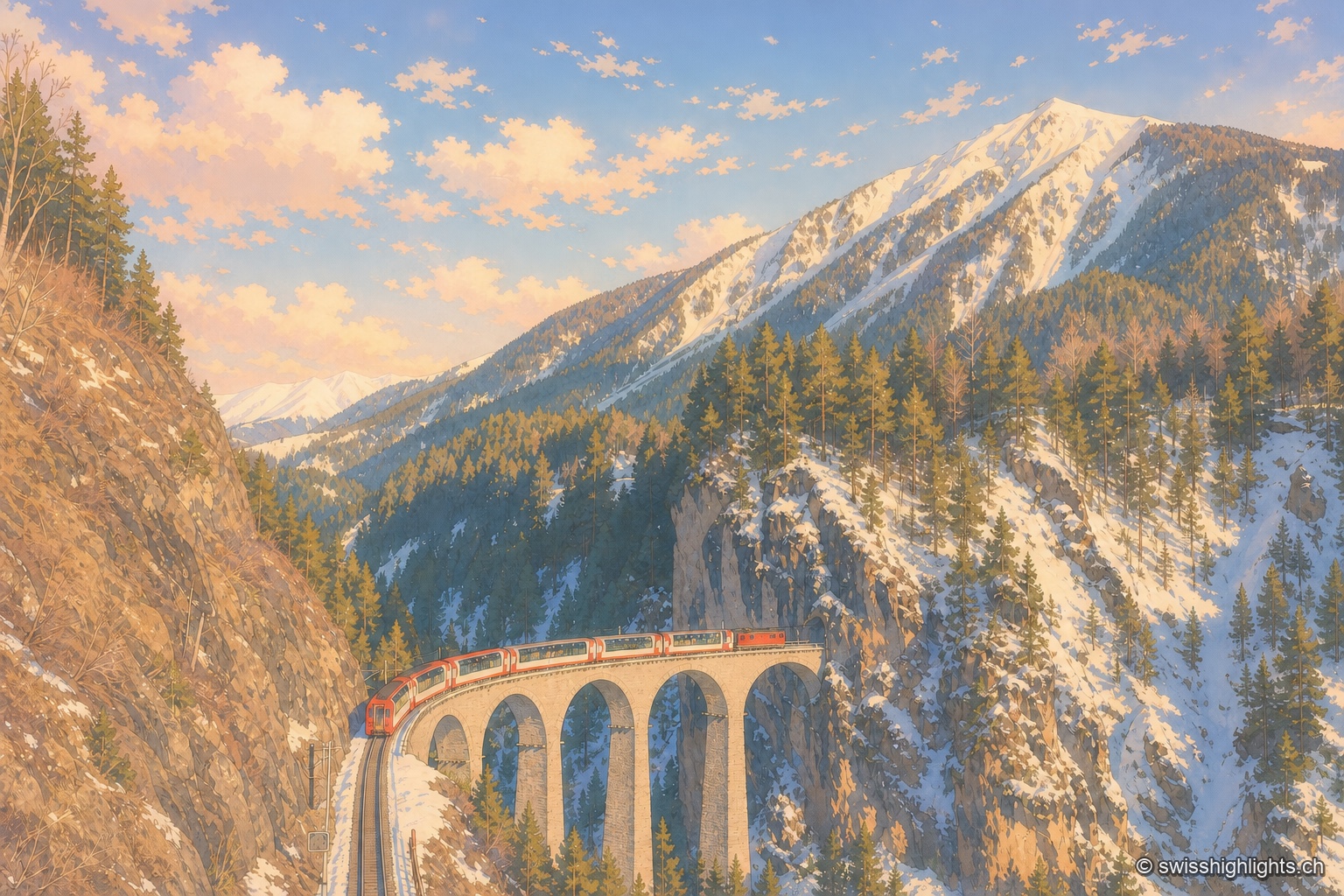
The train crosses 291 bridges and 91 tunnels over 291 kilometres of metre-gauge track, climbs to the Oberalp Pass at 2,033 metres and drops again to Chur, at 585 metres, its lowest point.
Alpine gorge · Bovernier, Valais
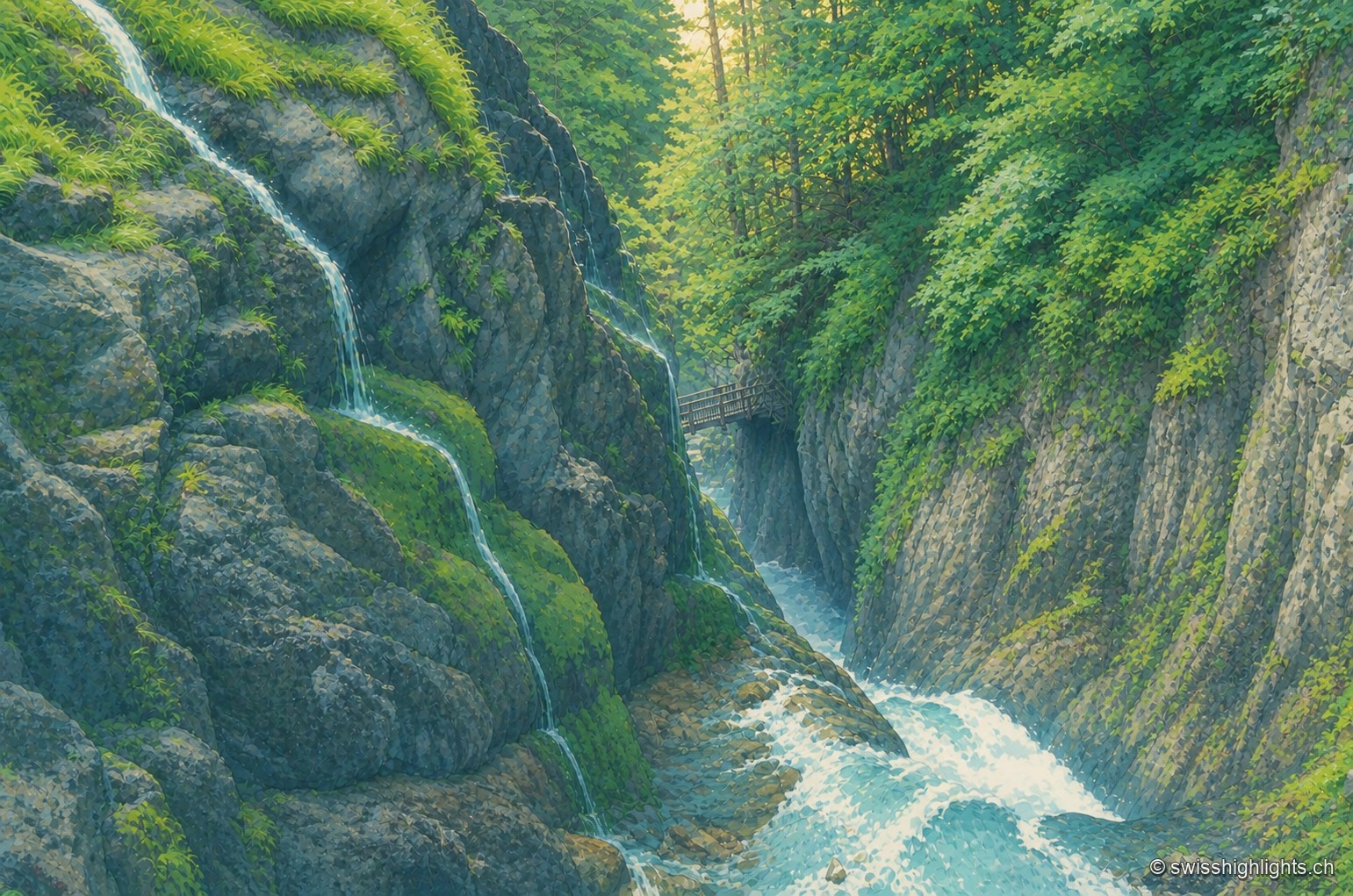
Fed by the Arpette and Gurriaz glaciers, the Durnand cuts through the rock between the Pointe Ronde and the Catogne. A trail opened in 1877, renovated in 1987, follows its fourteen waterfalls near Martigny.
Alpine gorge · Valais
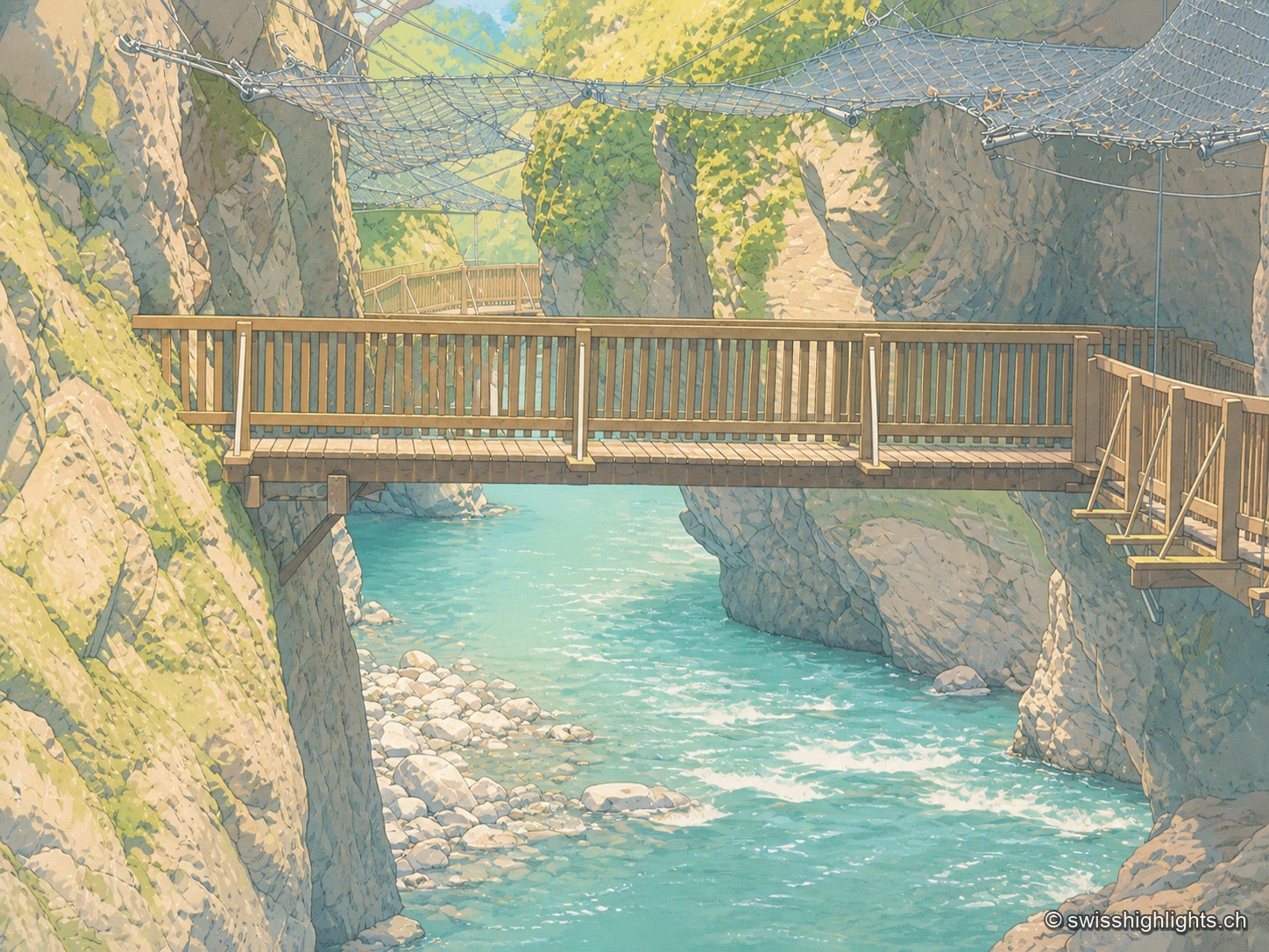
Between the communes of Salvan, Vernayaz and Martigny, the Trient has carved a 2 km gorge through rock combining moraine deposits, amphibolite, limestone and schist; two bridges mark the trail that follows it to the Pissevache waterfall.
Summit ridge · Valais
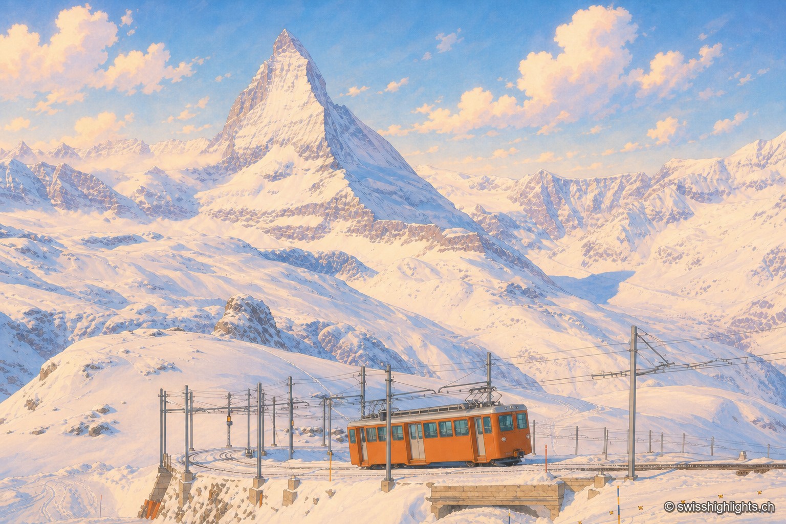
From this ridge at 3,133 metres, more than twenty Alpine summits above 4,000 metres can be taken in at once. A rack railway has climbed here since 1898, and two hotel towers house observatories.
Valais · Val d'Anniviers
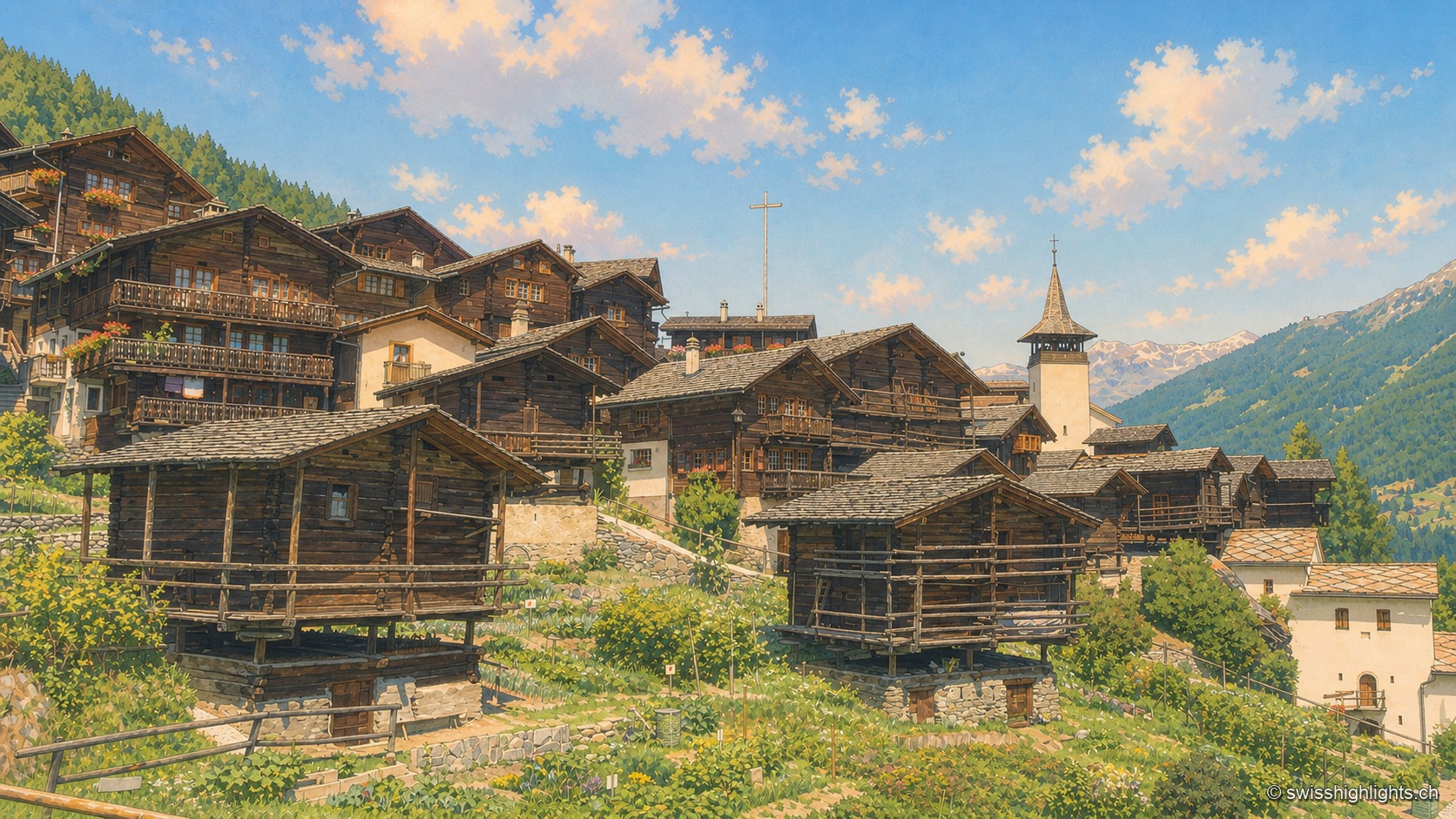
Grimentz holds its slope at 1,572 metres above the Val d'Anniviers. Raccards on stilts stand beside the Maison Bourgeoise of 1550, in whose cellars the vin du Glacier ages.
Show cave · Valais
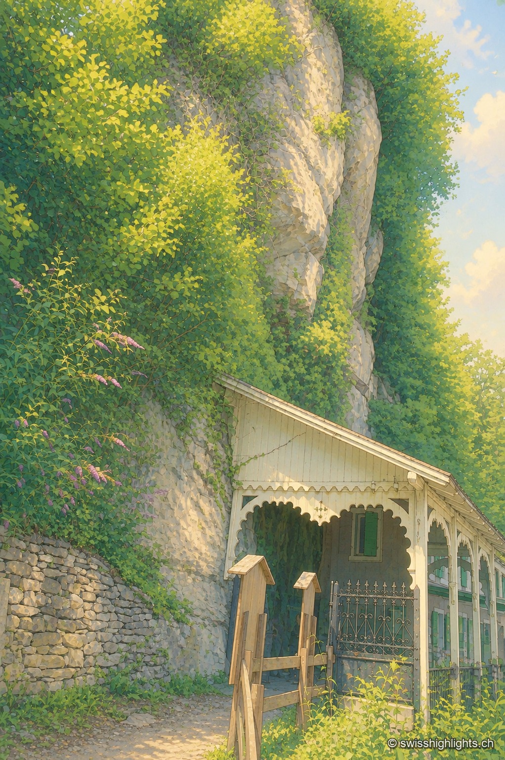
Opened to the public on 15 August 1864, the developed gallery follows the rock for 504 metres and ends beneath a 77-metre fall. Beyond it lies a network of 3,630 metres that the army extended between two Valais forts.
Railway pass · Bernese Alps
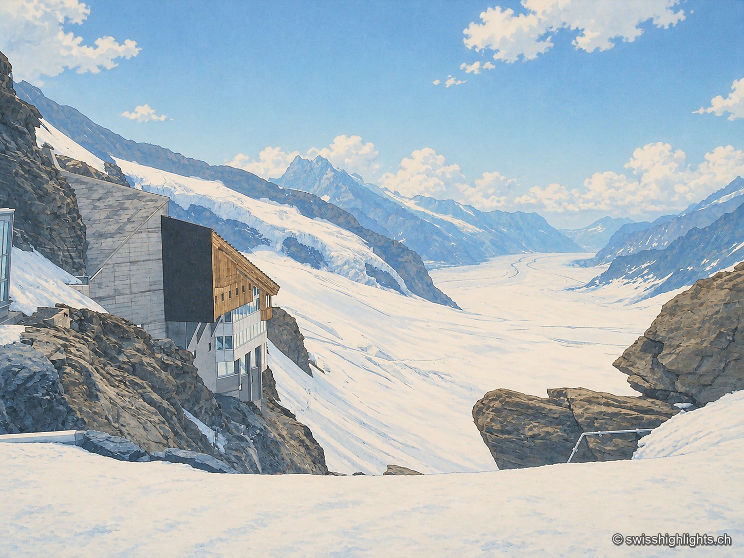
The line, proposed in 1893 by Adolf Guyer-Zeller and completed in 1912 after 7.1 km of tunnel under the Eiger and the Mönch, reaches 3,454 metres. The site drew more than a million visitors a year between 2017 and 2019.
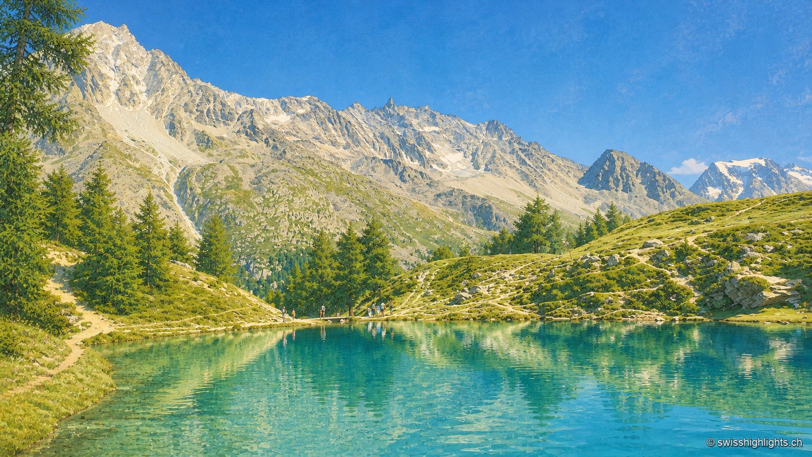
Mountain lake · Valais
Ringed by larches and Swiss stone pines at the place called Le Louché, the lake is fed by an inflow rising 10 metres upstream; its outflow reaches the Borgne d'Arolla via the Aiguilles Rouges torrent, after about 280 metres.
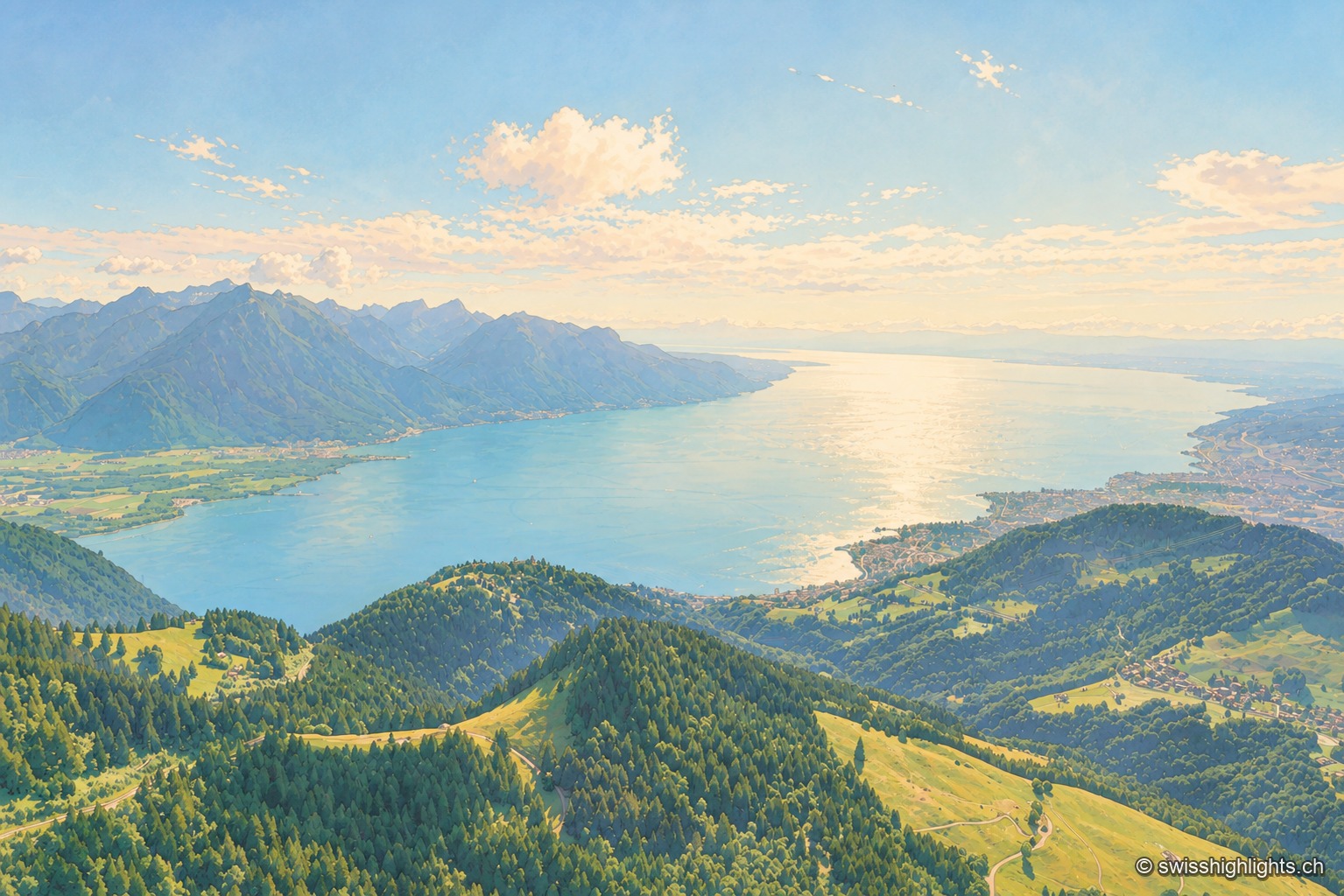
Glacial lake · Vaud, Geneva, Valais
72.8 km long and 309.7 m deep, Lake Geneva draws 75% of its inflow from the Rhône. The northern shore is Swiss, the southern shore French, and the border runs through the water.
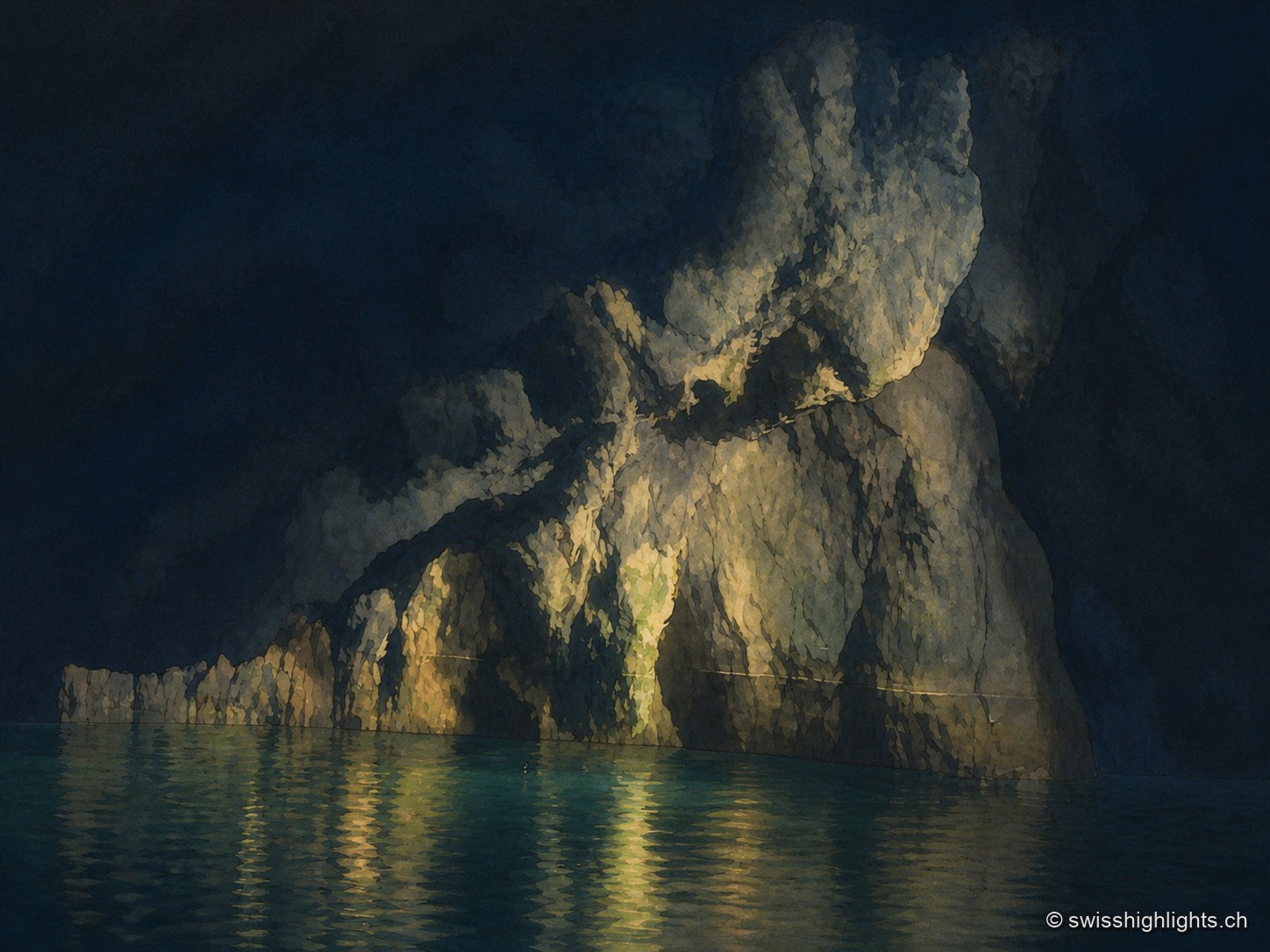
Underground lake · Valais
The lake fills only part of a cavity 1,400 metres long; a rockfall closes the rest. The 1946 earthquake lowered its level, and access, closed in 2000, reopened only in 2002 after consolidation.
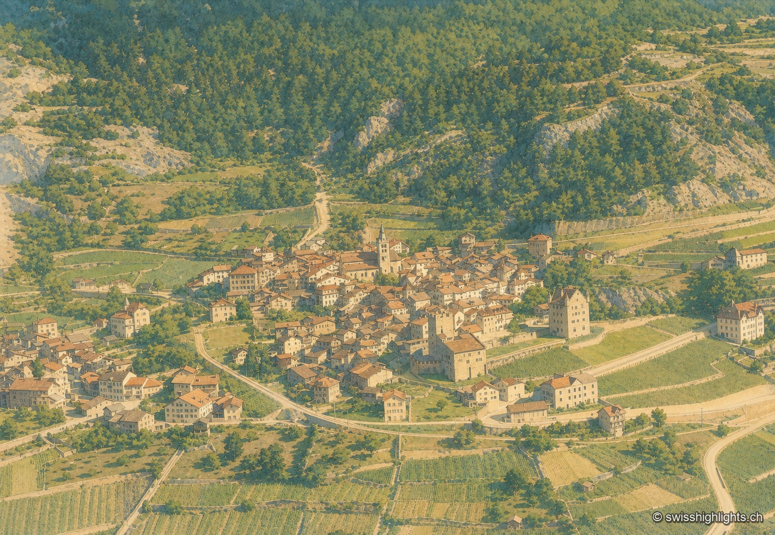
Medieval town · Upper Valais
Recorded in 515, Leuk keeps its bishop's castle, its Gothic church and its charnel house. Its 55.36 km² municipality holds both banks of the Rhône and takes in the Finges pine forest and the Illgraben fan.
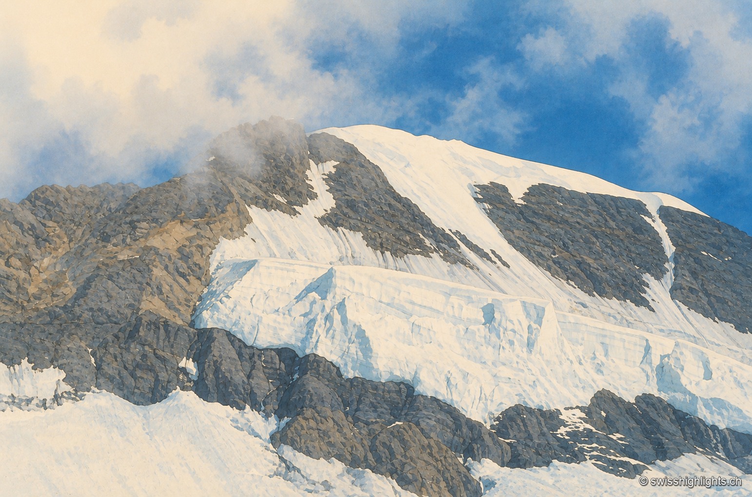
Bernese Alps summit · 4,110 m
Middle link of the Eiger–Mönch–Jungfrau chain, it reaches 4,110 metres. Its south face rests on the Jungfraufirn, a tongue of the Aletsch glacier; its name is thought to come from a horse pasture, not from a monk.
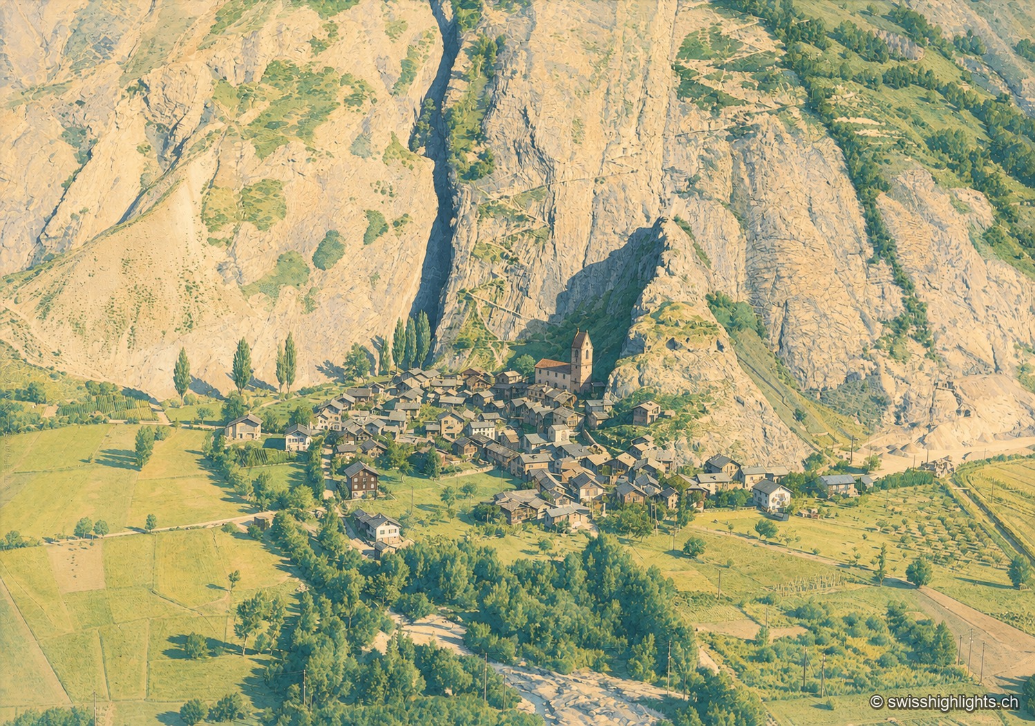
Valais village · Western Raron
The name comes from the Latin castellum: a stone castrum once guarded the old road on the right bank. The Valais tithings destroyed the castle in 1384; the community bought back its rights in 1790.
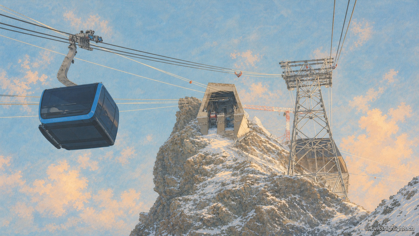
Summit · Valais
Surveys give it as 3,882 or 3,883 metres, a little over a kilometre from the Italian border. Its north face carries a cable-car station at 3,820 metres, from which a 160-metre tunnel runs through the mountain.
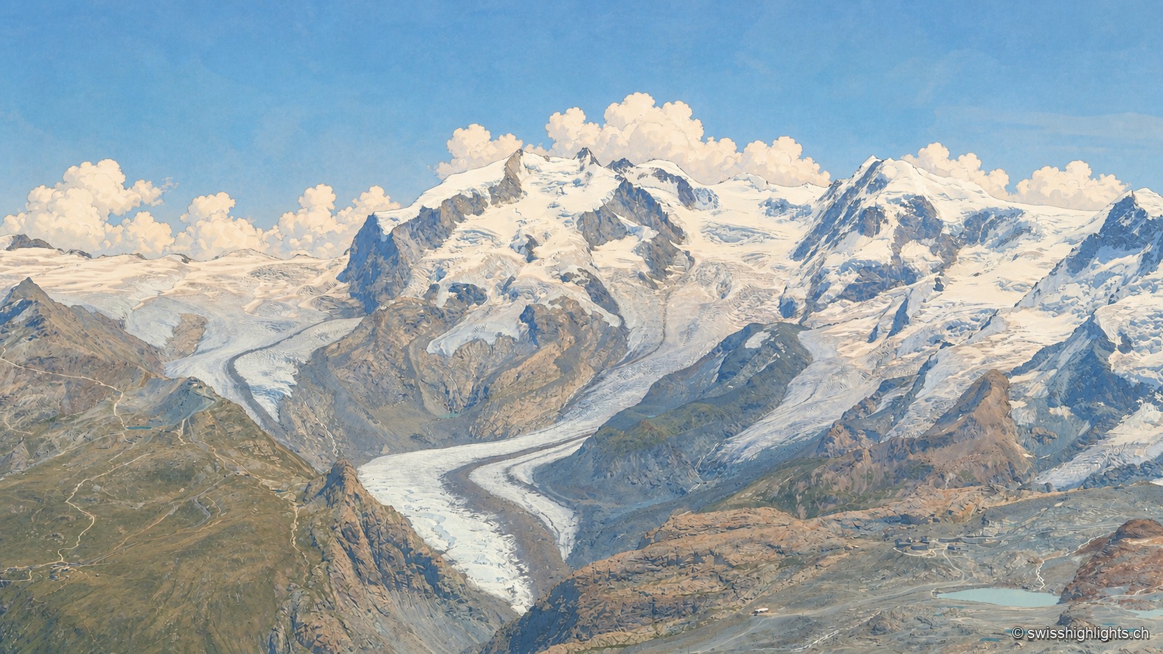
Switzerland's highest summit · Valais
Named in 1863 for Guillaume Henri Dufour, first climbed on 1 August 1855 by a British party guided by two men from Zermatt, it is Europe's ninth-highest summit, 130 m from the highest point of the Italian-Swiss border.
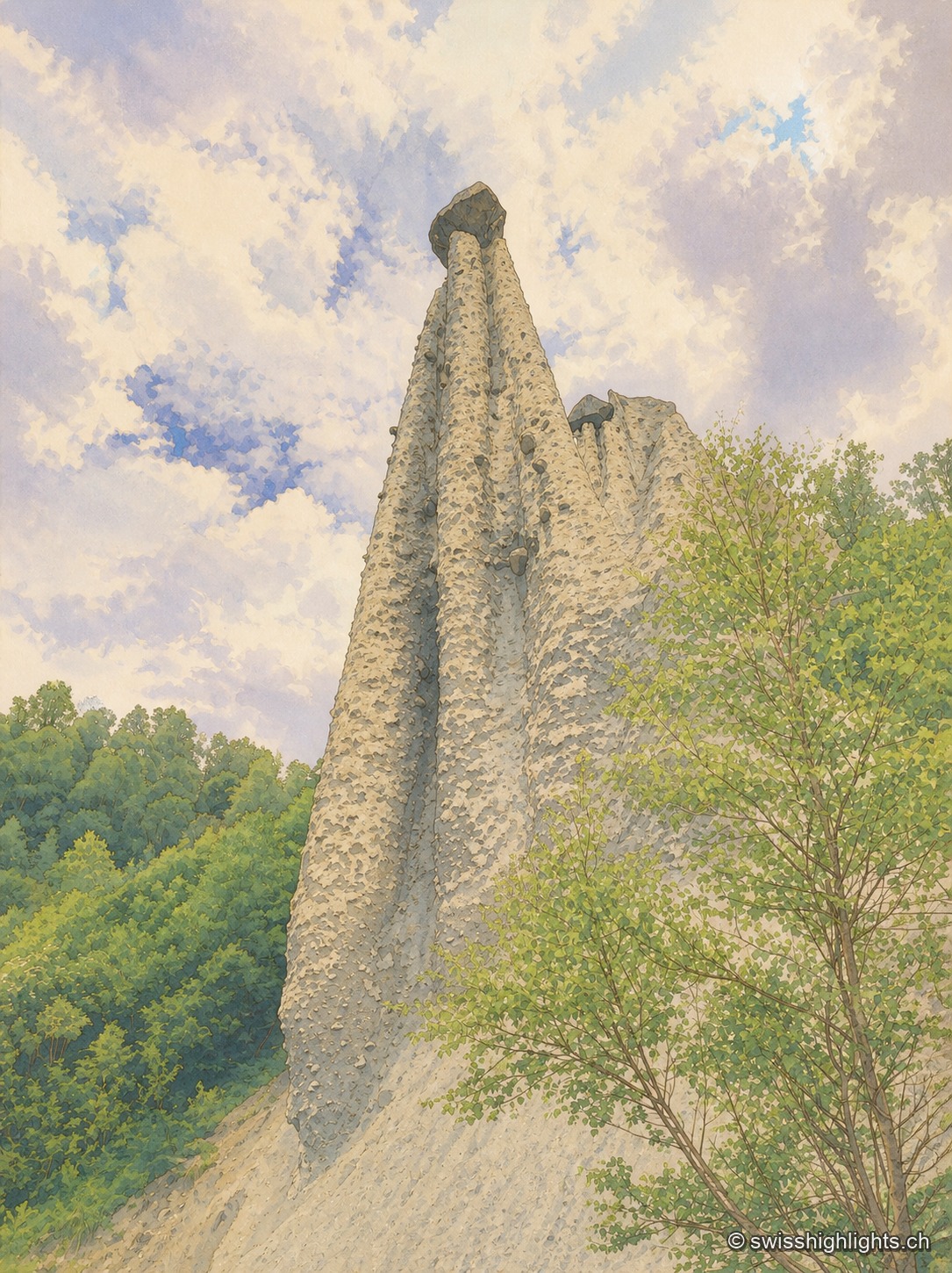
Earth pyramids · Valais
Each moraine cone of the Pyramides d'Euseigne, 10 to 15 metres tall, is capped by a boulder that protects it from erosion; the Val d'Hérens road passes through a tunnel cut beneath the formations.
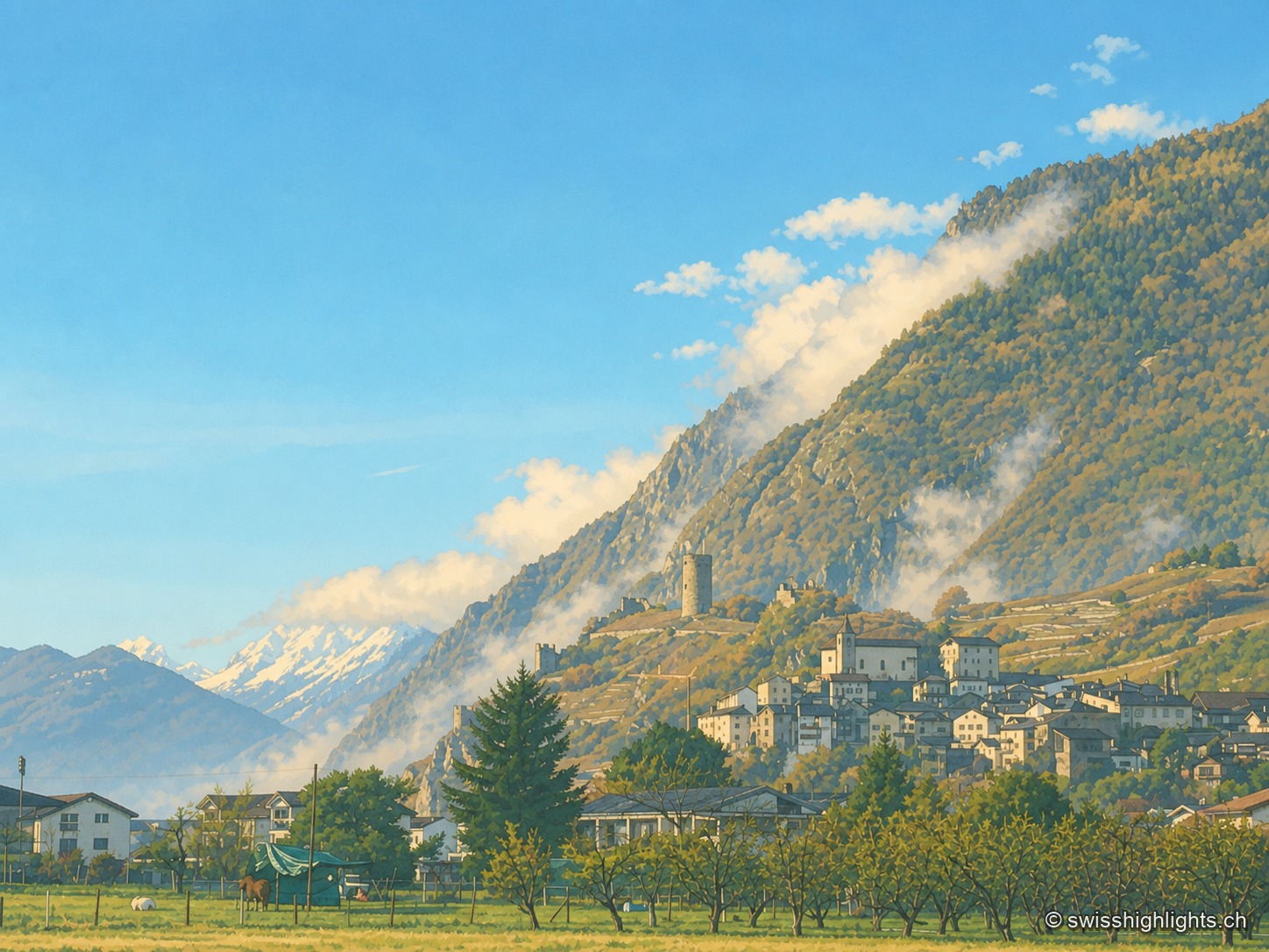
Medieval town · Valais
The keep stands outside the walls: the castle hill was too narrow to take it. Below, the quarry yielded from 1873 a banded marble that Charles Garnier had laid in the Paris Opera the following year.
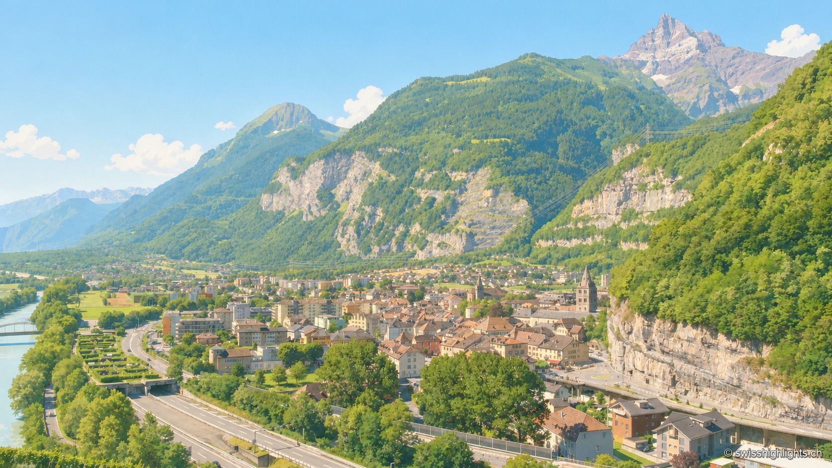
Lock on the Rhône · Valais
A stage on the Via Francigena recorded as early as 990, locked by the Château des Gouverneurs and its 12th-century bridge over the Rhône, the town burned down in 1693 before planting, first in Valais, a liberty tree in 1798.
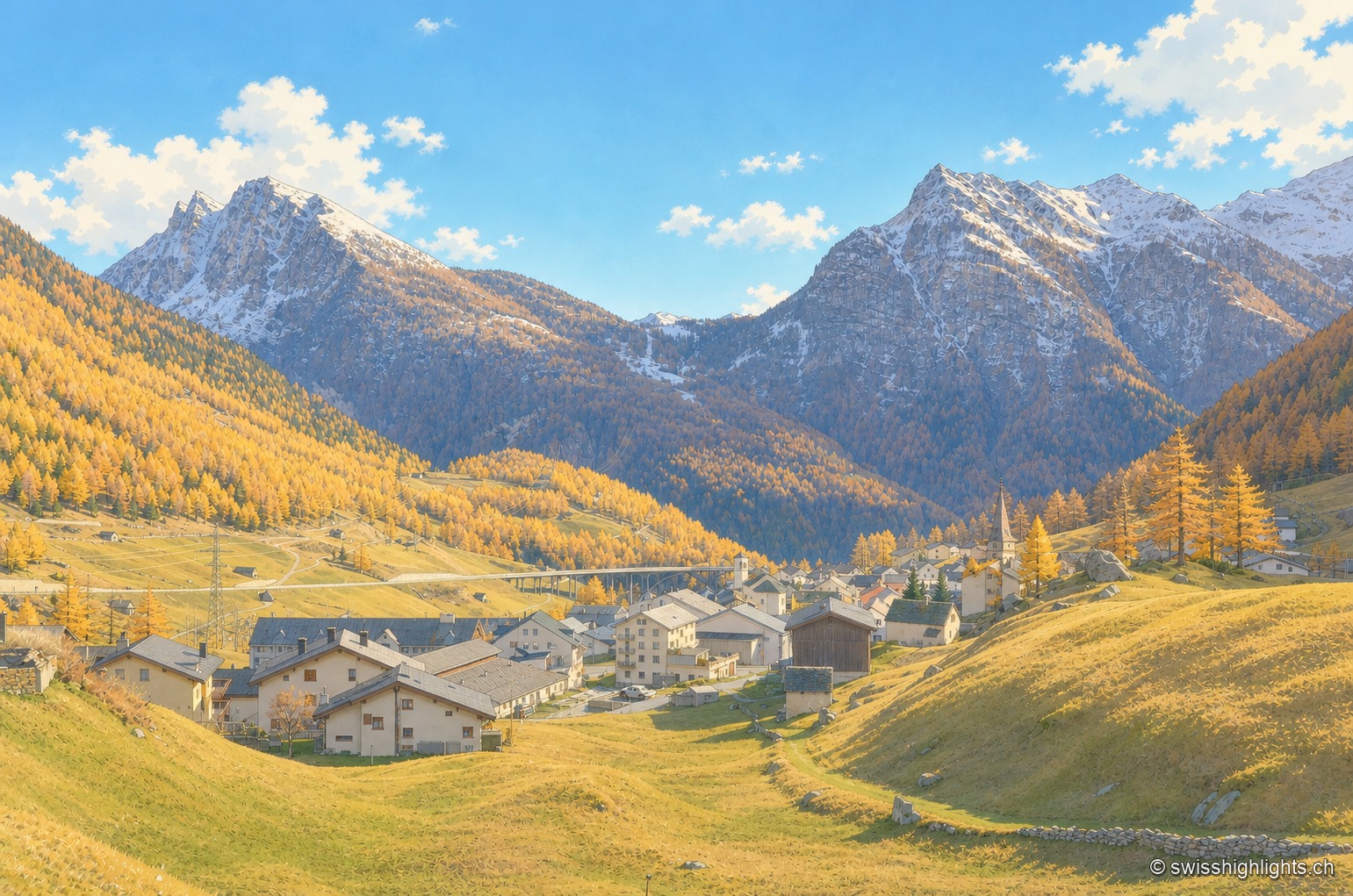
Village in the Po basin · Valais
Simplon and Gondo are the only two Valais villages on the southern side of the Alps. Its 281 residents (end 2024), nicknamed d'Chruitfrässer, are declining by 13.8% since 2010. The village joined Switzerland's Most Beautiful Villages association in 2020.
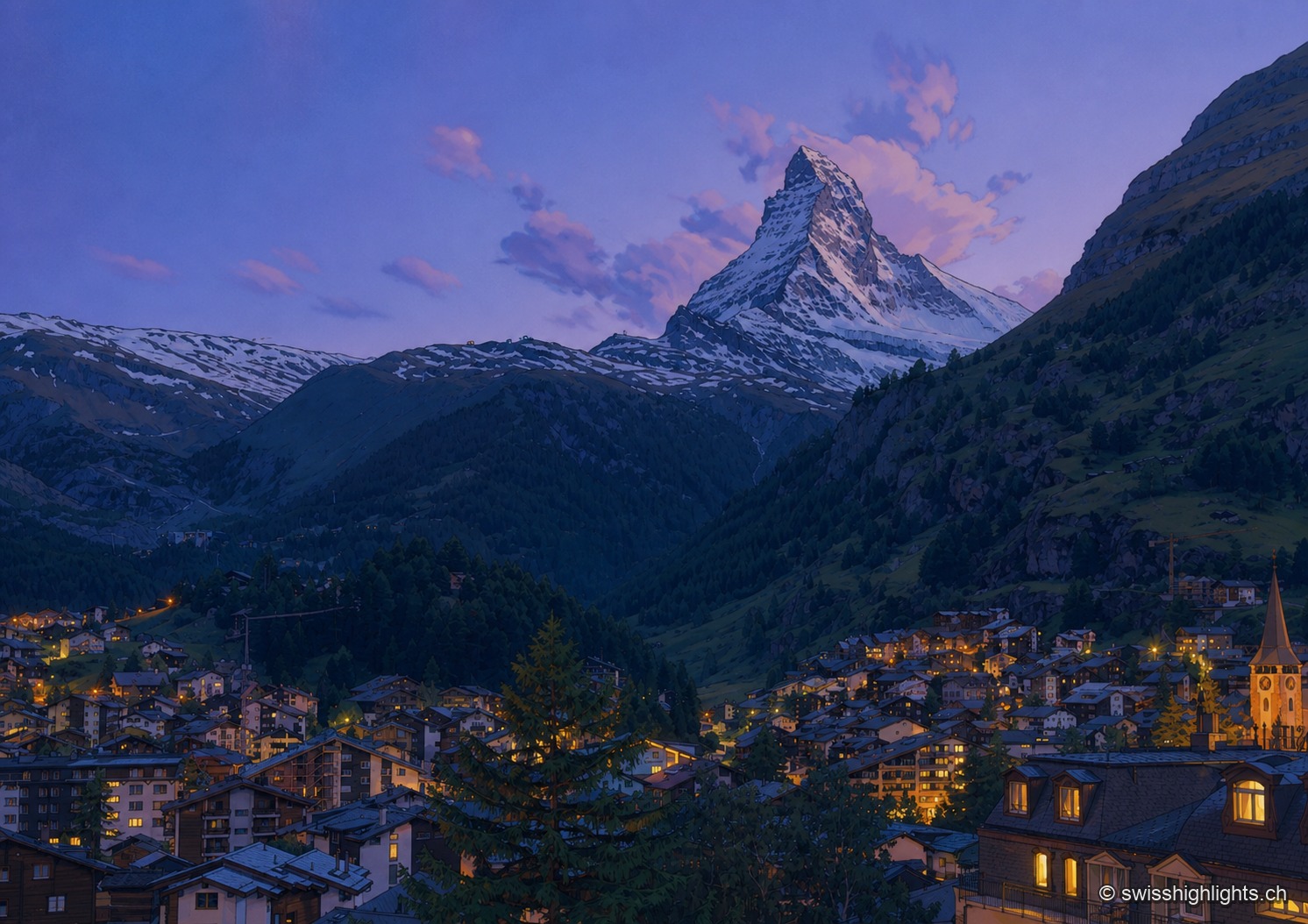
Mountain village · Valais
A village at 1,620 metres at the end of a valley closed off by ice. Cars have been kept out since the votes of 1972 and 1986, and 85.2% of the communal territory remains unproductive.