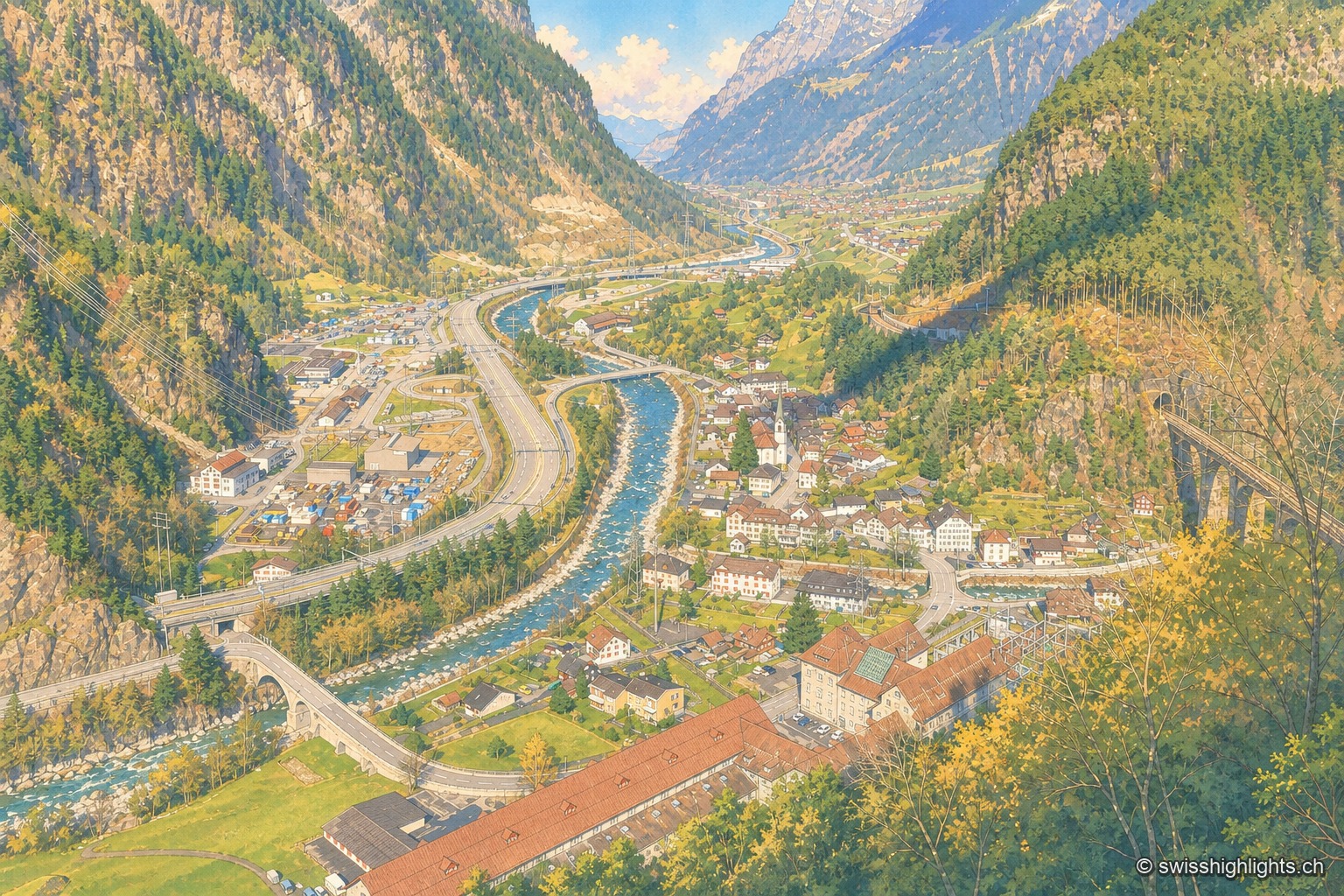
Elevated view of Amsteg from a wooded slope: the village and its bell tower occupy the floor of the Reuss valley, the gravel-banked river crosses it, the motorway and road run along the left bank, and the Gotthard railway viaduct spans the ravine on the right, between steep slopes.

With family, no constraint reported

Collections

116 member places · AG, AI, AR, BE, BL, BS, FR, GE, GL, GR, JU, LU, NE, NW, OW, SG, SH, SO, SZ, TG, TI, UR, VD, VS, ZG, ZH

Deterministic criterion: the corpus describes this place's visiting conditions and reports no particular constraint (regulated access, exposed terrain, site not freely open). This criterion does not claim that children will enjoy the place — nothing in the corpus measures that.

Family suggestions

Couple suggestions

AmstegAndelfingenAppenzellArlesheimAsconaAumüliAuvernierAvenchesBaselBauenBergün/BravuognBern, Old TownBeromünsterBerthoud (Burgdorf)BönigenBosco/GurinBreil/BrigelsBremgartenBüren an der AareBursinsCascade de la PissevacheCastasegnaBirsfelden power stationMatterhornChampéryChillon CastleRhine FallsBernina PassDardagnyDiessenhofenEglisauEigerEndingenEnnendaGimmelwaldAletsch GlacierAare GorgeGorges de la SuzeGorges de Sainte-VérèneGorges de la TaminaGorges du TrientGornergratGottliebenGrandsonGrandvillardGrimentzGrotte aux FéesGrottes de VallorbeGruyèresHalenHeidenHembergHermanceHospentalBrissago IslandsInterlakenJungfraujochKehrsitenKirchhofenKleine ScheideggLa Chaux-de-FondsLa NeuvevilleLaufenLausanneLe LanderonLe PontLessocLichtensteigBernina RailwayLeukLöwenburgLucerne, old town and KapellbrückeLuganoMadulainMalansJungfrauMerideMönchMorcoteMoudonMuggioMürrenNeunkirchNiedergestelnObermuttenKlein MatterhornPorrentruyRiehenRigiRomainmôtierRossinièreRougemontRüeggisbergSaillonSaint-MauriceSaint-SaphorinSaint-UrsanneSankt ChrischonaSchilthornSchlatt AISchwyzSedrunTaveyanneTitlisUfenauUnterseenUrnäschSchlieren GasworksLorzenweid industrial siteValanginWerdenbergYvorneZermattZiegelbrückeZofingenZurich
Interactive map — schematic view of Switzerland.

Places in this collection

Elevated view of Amsteg from a wooded slope: the village and its bell tower occupy the floor of the Reuss valley, the gravel-banked river crosses it, the motorway and road run along the left bank, and the Gotthard railway viaduct spans the ravine on the right, between steep slopes.

Transit village · Uri

Amsteg

A staging post in the 18th century, ruined by the coming of the railway, revived in the 20th by hydroelectricity: the power station of 1922 was replaced in 1998 by a plant cut inside the mountain.
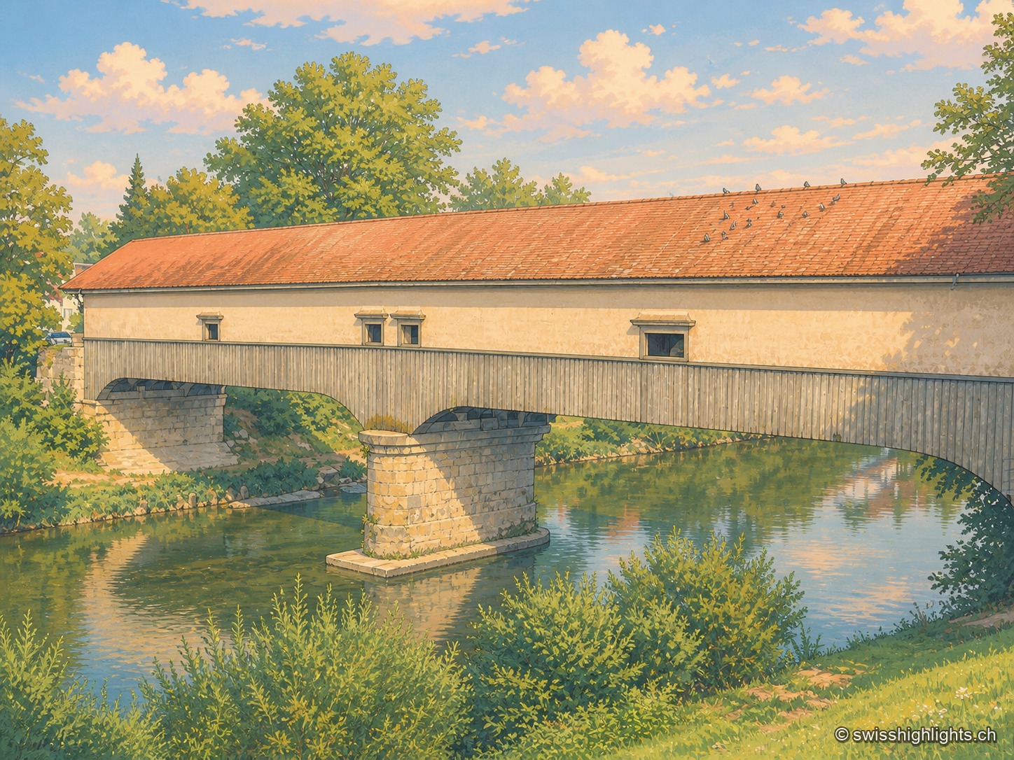
The covered wooden bridge seen from the bank at a three-quarter angle: a long cladding of grey planks and a red tiled roof span the entire frame, carried by a stone pier planted in the middle of the Thur; the calm green water reflects the arch and the vegetation of the banks, and birds are perched in a row along the ridge of the roof.

Weinland town · Zurich

Andelfingen

Recorded in 1248, Andelfingen commanded one of the few crossings of the Thur: a toll, a bridge already widened in 1324, destroyed in 1799 and rebuilt in wood in 1814-1815. The town keeps a castle of 1780-1782 and a chancellery of 1697.
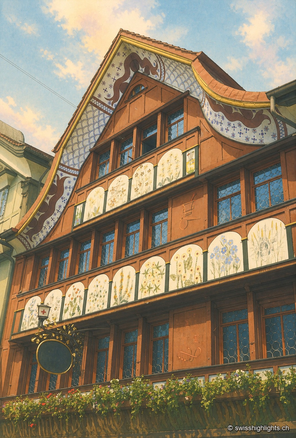
The painted gable of the pharmacy house in Appenzell, seen from below: the roofline traces an inverted curve accented with blue scales on a white background, two rows of white panels each bear a painted plant motif, small-paned windows with round stained-glass insets occupy the space between them, and flower boxes close off the bottom of the frame.

Village · Appenzell Innerrhoden

Appenzell

A township of 5,778 inhabitants at the foot of the Appenzell Prealps, whose name, recorded in 1071, means the abbot's cell. On its square, citizens still vote by show of hands.
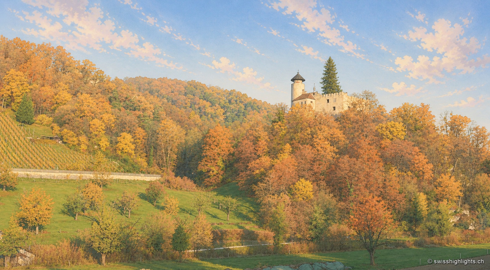
Ermitage pond in Arlesheim in autumn: a white wooden footbridge extends over the water covered with water lilies, in front of a wooded slope with yellow, orange and red foliage.

Village and garden · Basel-Land

Arlesheim

The collegiate church and the canons' houses, built from 1679, close a square laid out in one design. Beyond the village, the Ermitage spreads its grottoes, ponds and paths over some forty hectares.
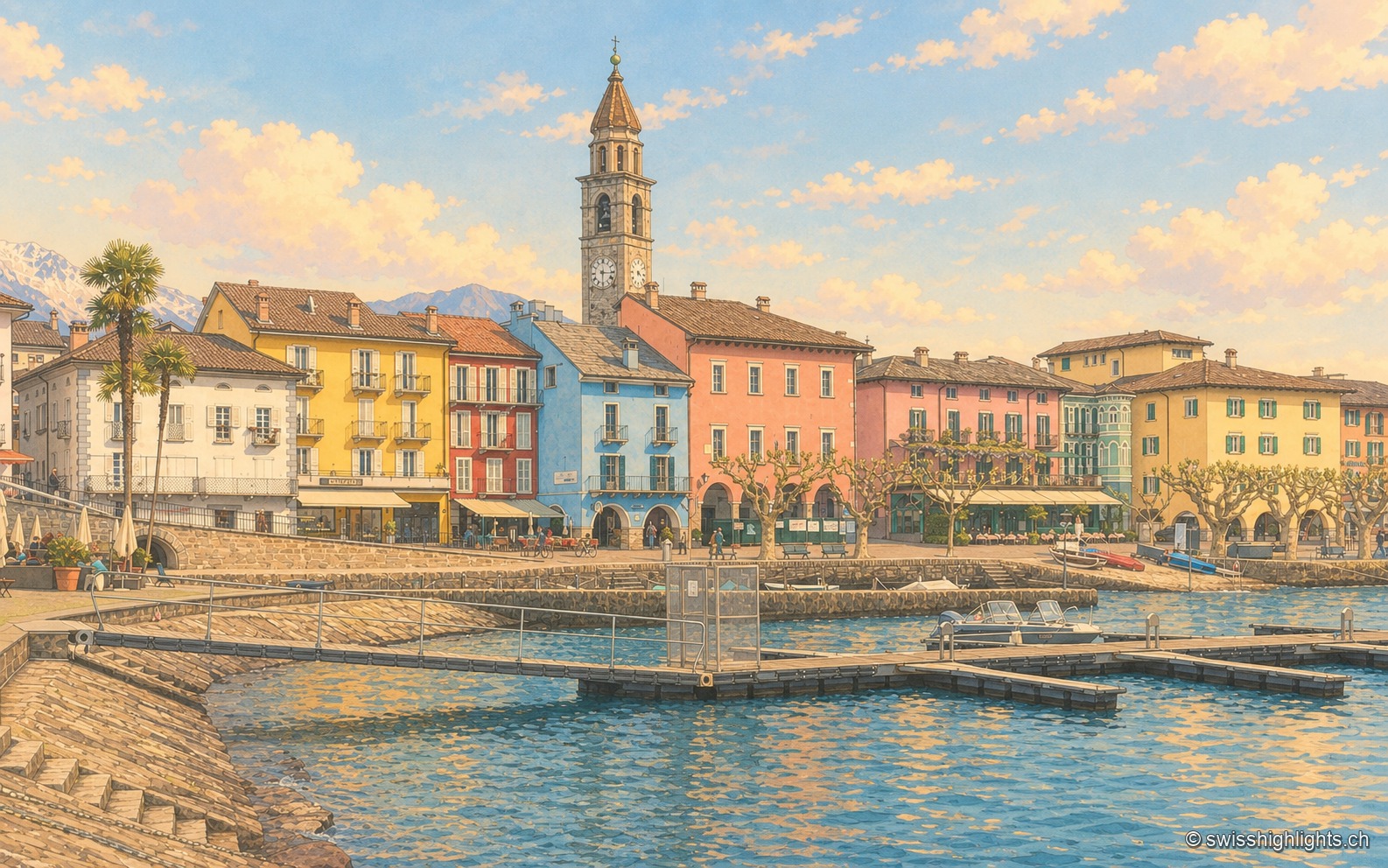
The Ascona lakefront seen from a jetty: a row of yellow, red, blue and pink houses lining the Piazza Motta, the bell tower of the Santi Pietro e Paolo church in the center, a palm tree on the left, and the mountains of Lake Maggiore in the background.

Lakeside town · Ticino

Ascona

A row of painted houses closes the square that opens onto the lake, behind the campanile of Santi Pietro e Paolo. On the hill stand the light-and-air huts of 1901-1902 and the hotel of 1926-1928.
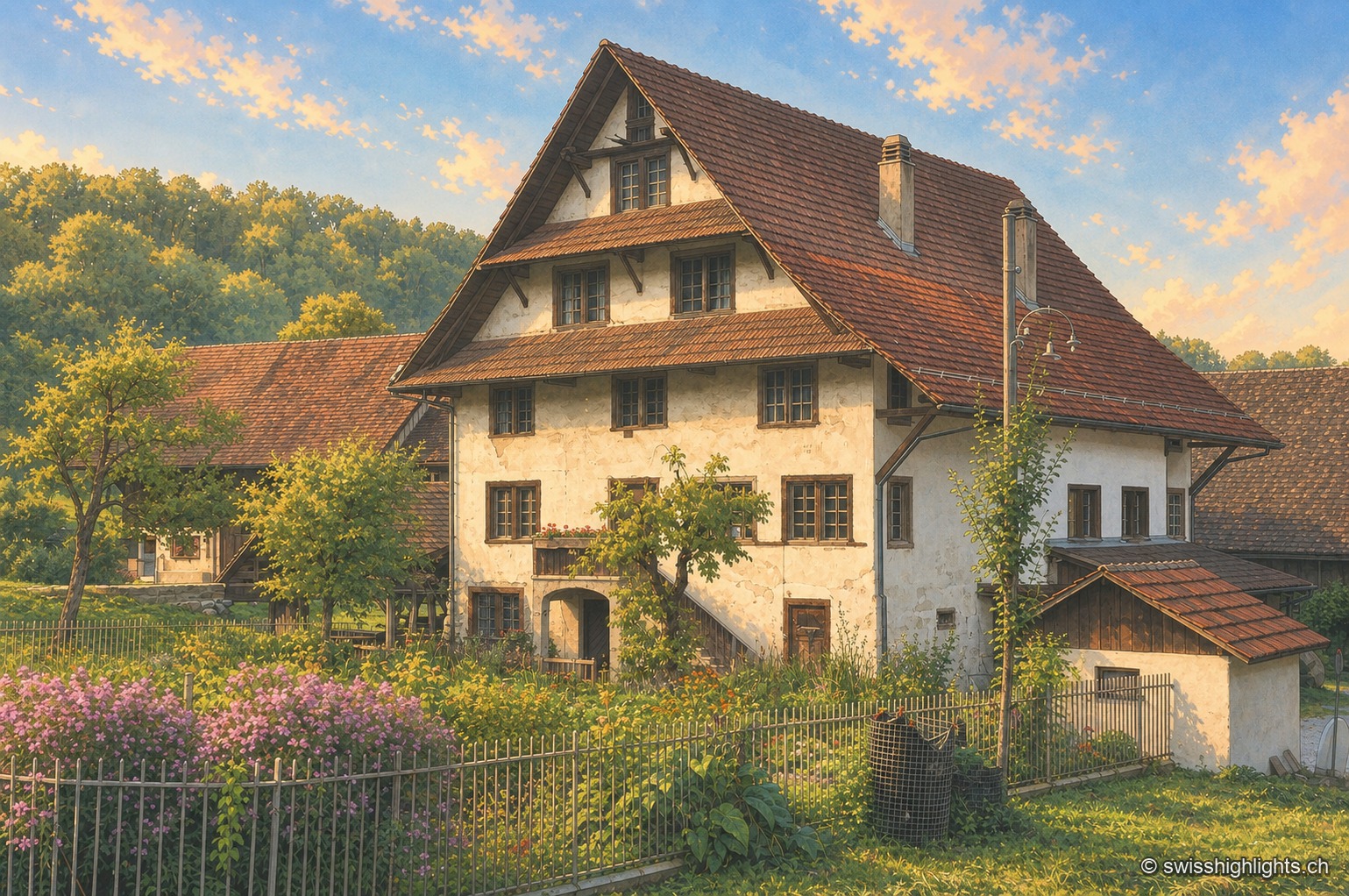
The Aumüli mill and its outbuildings: a tall whitewashed half-timbered façade beneath a wide, steeply pitched brown tile roof with generous overhang, surrounded by a fenced garden where mauve butterfly bushes grow, with the forest on the southern slope of the Albis in the background.

Historic mill · Stallikon, Zurich

Aumüli

Probably built in the 9th century and recorded from 1328, the Aumüli keeps its water right, wheel and sawmill. Listed in 1993 and added to the ISOS register in 2012, it has milled spelt again since 2007.
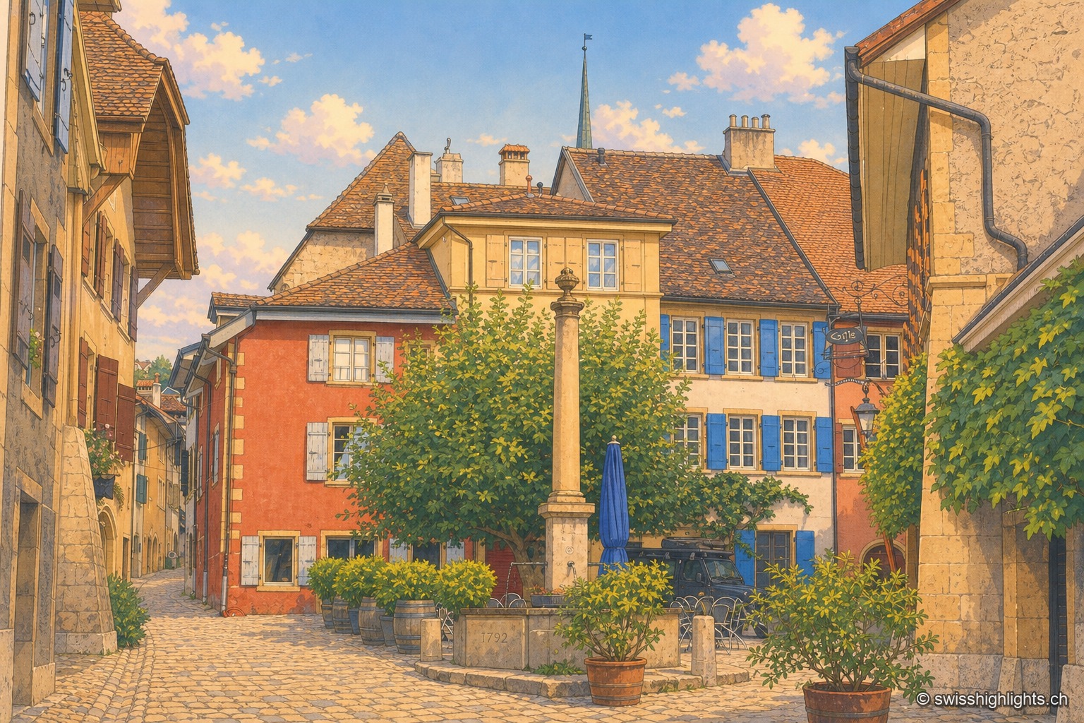
The paved square of Auvernier under a stormy sky: in the centre, a stone-column fountain with its long basin; on the left, ochre-red and yellow façades with blue shutters along a lane sloping downward; on the right, a yellow stone wall bearing the large painted letters "Coste — vins en gros"; behind the tiled roofs, a slate spire and dark clouds.

Wine village · Neuchâtel

Auvernier

First recorded in 1011, Auvernier lived on fishing and on the vine. Its castle of 1559 keeps its vaulted cellars, the canton set up its school of viticulture here in 1888, and the law has protected the vineyard plots since 1974.
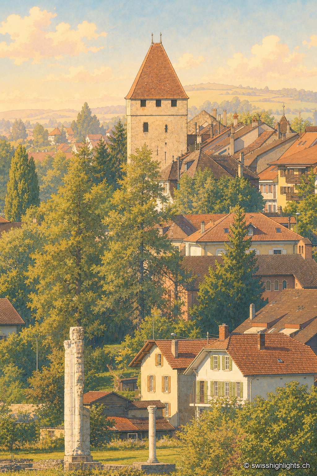
Late afternoon view of the old town of Avenches: in the foreground, two Roman columns standing in the grass, remnants of the Cigognier sanctuary; beyond the rooftops, the Tornallaz, a square tower with a pointed roof from the ancient wall, rises above the Vaud houses with light-colored facades and colorful shutters.

Roman capital · Vaud

Avenches

Aventicum had more than 20,000 inhabitants under the High Empire before the Alamanni devastated it in 258. The town hall, rebuilt in 1753, stands over the square; the IENA, opened in 1999, made it Switzerland's horse town.
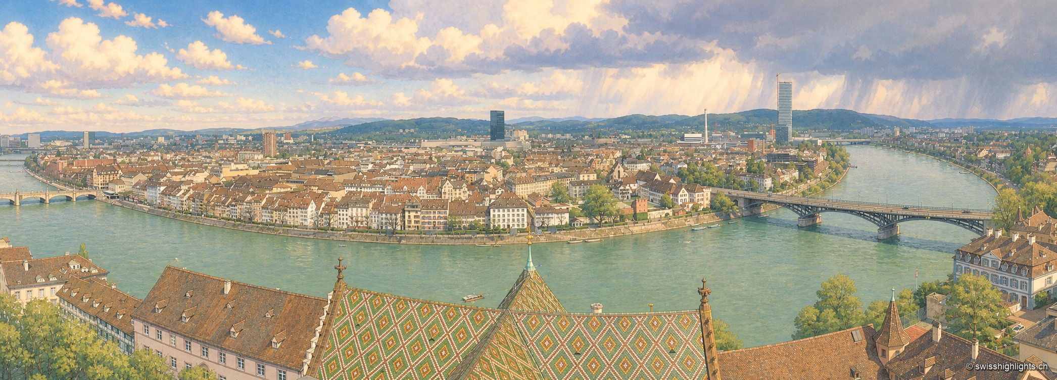
The Rhine seen from a bridge on a clear day: on the left bank, the red sandstone cathedral raises its two spires and glazed-tile roof above a quay wall and a line of trees; the pale façades of the old town then line the water up to the arches of a bridge closing the perspective; in the foreground on the right, a few white boats are moored along the bank, under a cloudless blue sky.

Rhine city · Basel-Stadt

Basel

The Rhine bends here before leaving Switzerland; the city spans it and touches France and Germany. A university founded in 1460, some forty museums in the canton, a carnival on UNESCO's intangible heritage list.
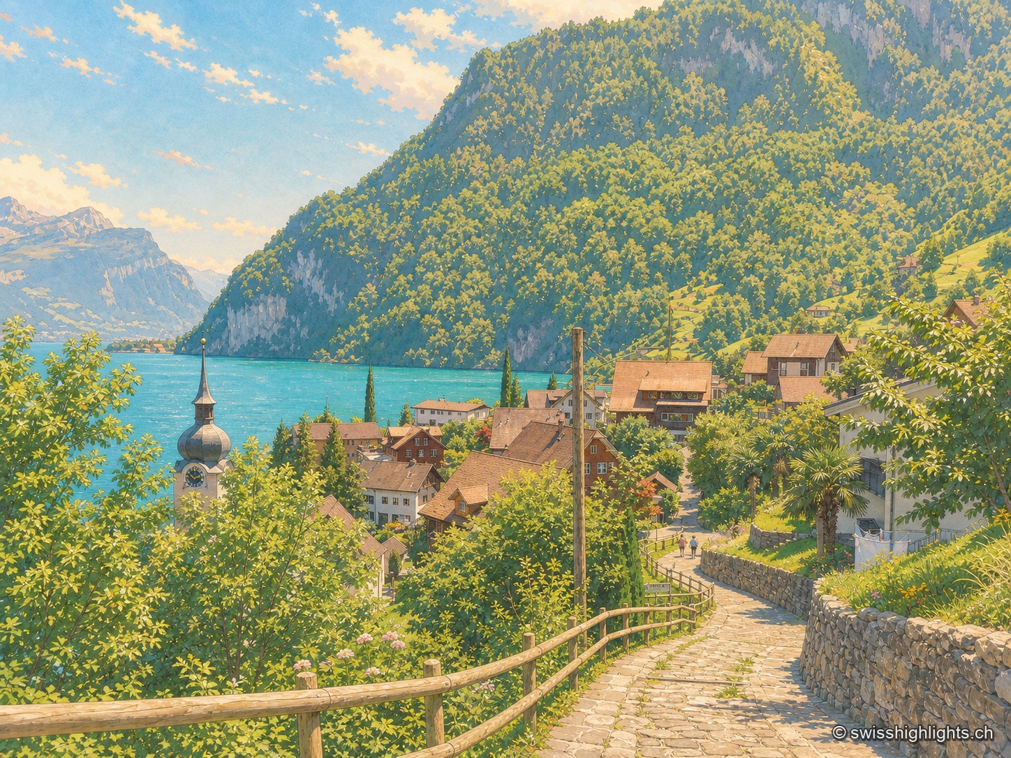
Elevated summer view from a stone path lined with a wooden railing, descending toward the village of Bauen nestled on the shore of Lake Lucerne; the onion-domed bell tower of St. Ida's church stands out among the roofs, facing the turquoise water of the lake enclosed by wooded cliffs and rocky peaks under a blue sky dotted with clouds.

Lakeshore, Nobel's factory, anthem

Bauen

On the west shore of Lake Uri, at the foot of the Bauenstöcke, the mild climate (figs, palm trees) contrasts with the industrial history of neighbouring Isleten, where Nobel produced dynamite and later blasting gelatin until 2003.
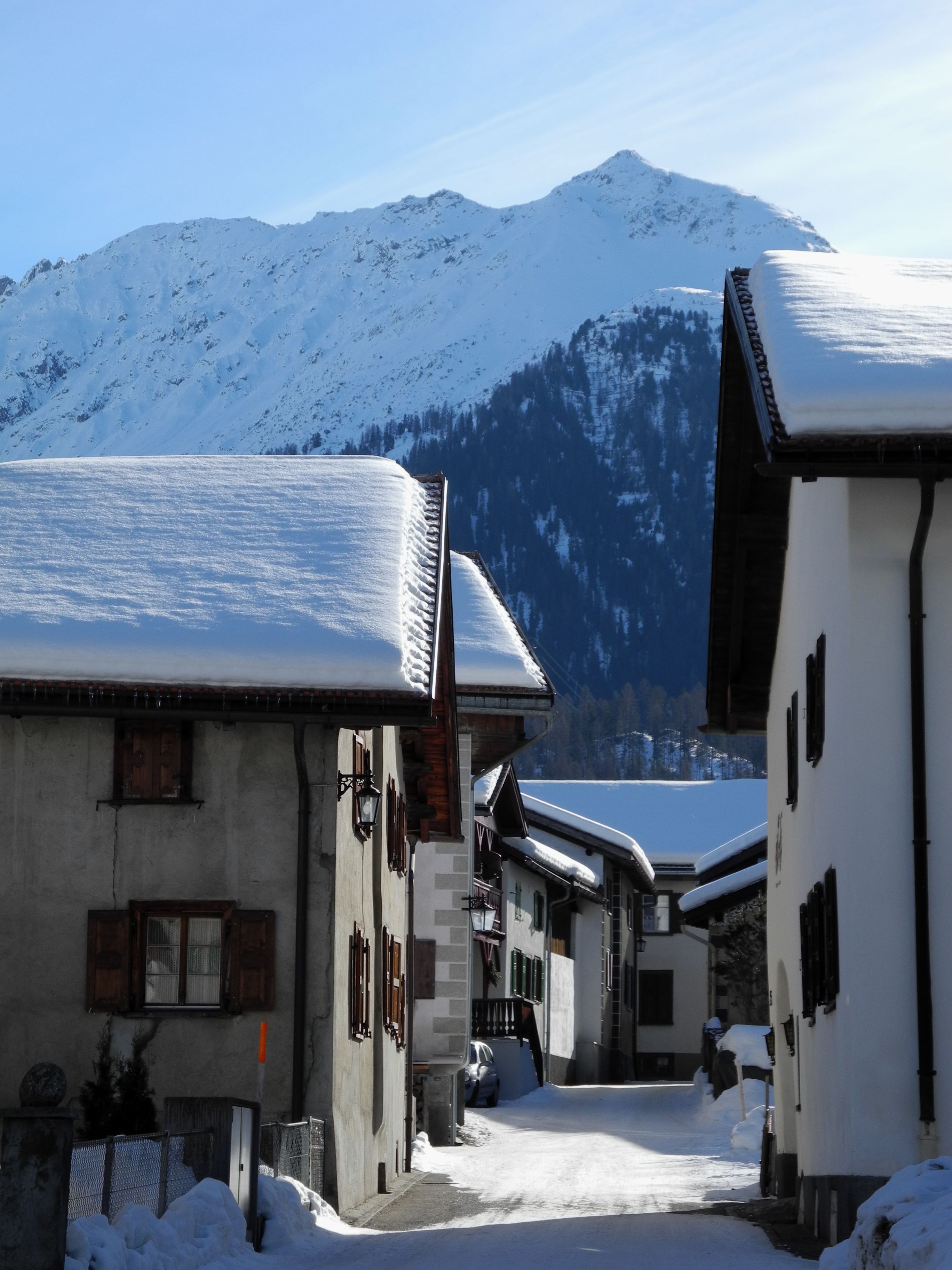
Snow-covered street in Bergün lined with Engadine houses with snow-laden roofs; in the background, a snowy mountainside under a clear sky.

Graubünden · Albula Valley

Bergün/Bravuogn

At 1,367 metres in the Albula Valley, Bergün lines its sgraffito-decorated Engadine houses along one climbing street. Its Romansh name, Bravuogn, has been official since 1943.
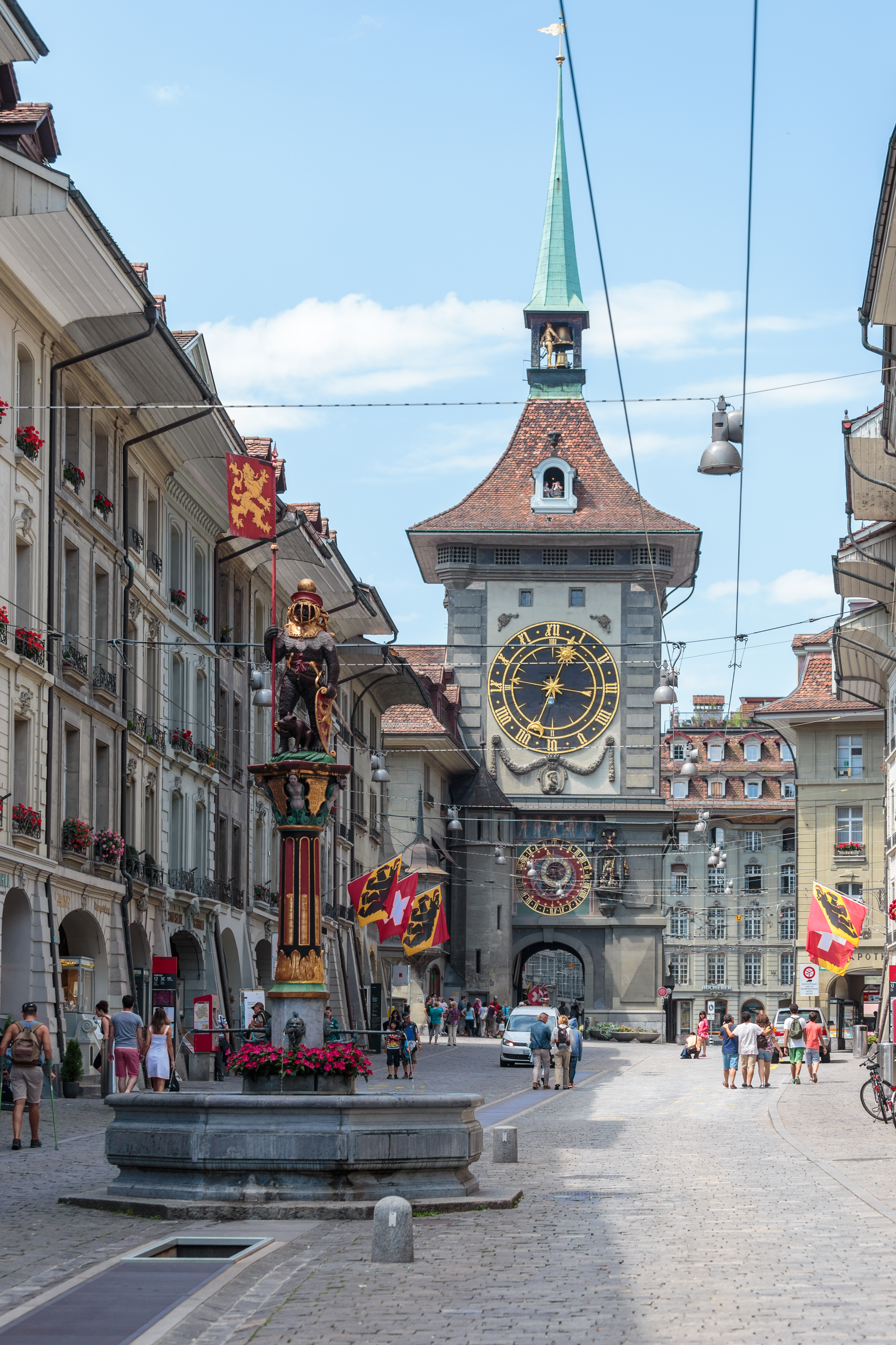
The Kramgasse in Bern, lined with sandstone buildings with arcades: in the foreground the Zähringerbrunnen, a painted fountain topped with a bear in armour, and in the background the Zytglogge tower with its golden clock face and green spire.

Old town · Bern

Bern, Old Town

More than six kilometres of arcades, 16th-century fountains and the Zytglogge tower set the rhythm of a centre rebuilt in sandstone after the fire of 1405.
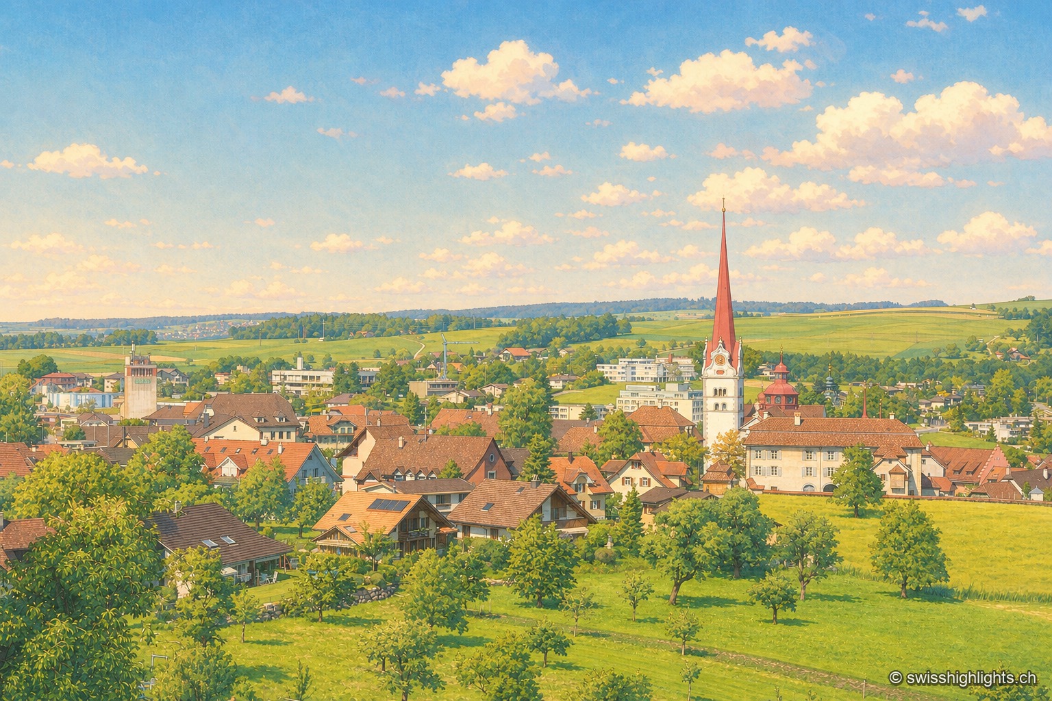
View of Beromünster from a sloping meadow: in the foreground an orchard and tall grass, then the brown tiled roofs of the town; at the center, the white spire of the collegiate church topped with a tall red steeple, and behind, the cultivated hills of the Wynental under a blue sky with white clouds.

Collegiate town · Lucerne

Beromünster

Two centres, the market Flecken and the canons' Stift, at 642 metres. Helias Helye finished the first dated book printed in Switzerland here on 10 November 1470; the transmitter that gave the place its present name fell silent in 2008.
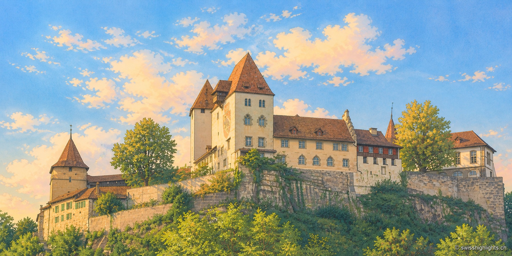
Burgdorf Castle seen from below, at the end of the day: set on a rocky, vegetation-covered outcrop, a square keep with a steep roof, a pale residential wing with blue shutters, and a round tower capped with tiles, under a blue sky streaked with clouds; the raking light illuminates the south-facing façades.

Emmental town · Bern

Berthoud (Burgdorf)

The castle holds the sandstone spur above the town; its name appears as early as 1084. In 1273 the Goldene Handfeste set the town's law in writing, in force for five centuries. In 1899 the line to Thun made it a laboratory of electric traction.
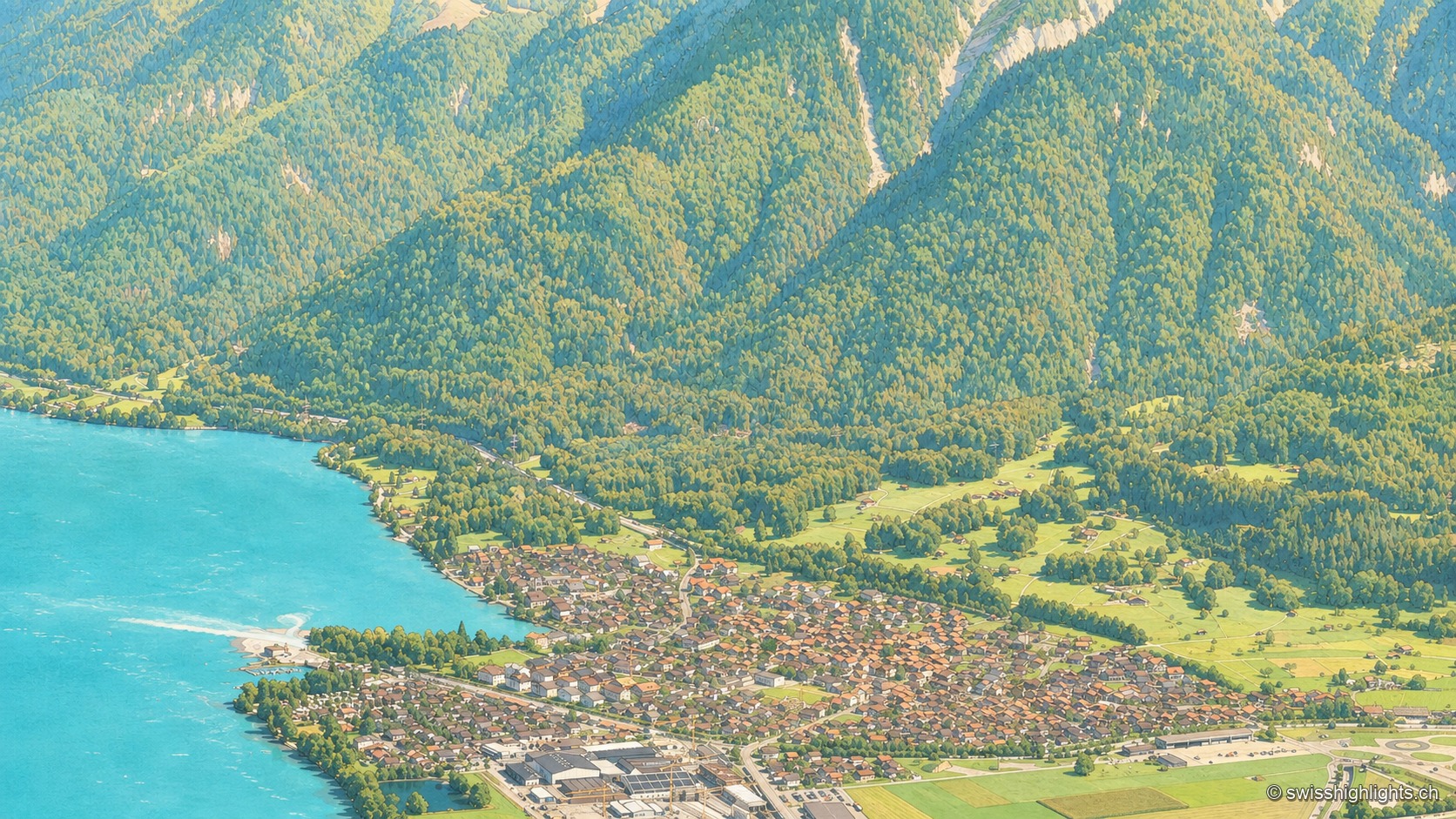
An aerial view from the Harderkulm over the village of Bönigen, nestled at the turquoise mouth of the Lütschine where it flows into Lake Brienz; the village roofs line up between the turquoise water and green meadows, at the foot of steep, fully wooded slopes rising toward the head of the valley.

Bernese village · Lake Brienz

Bönigen

Bönigen, at the mouth of the Lütschine into Lake Brienz, was an imperial fief of the barons von Eschenbach ceded to Interlaken convent in 1261; the village refused the Protestant Reformation in 1528 and today has 2,786 inhabitants.
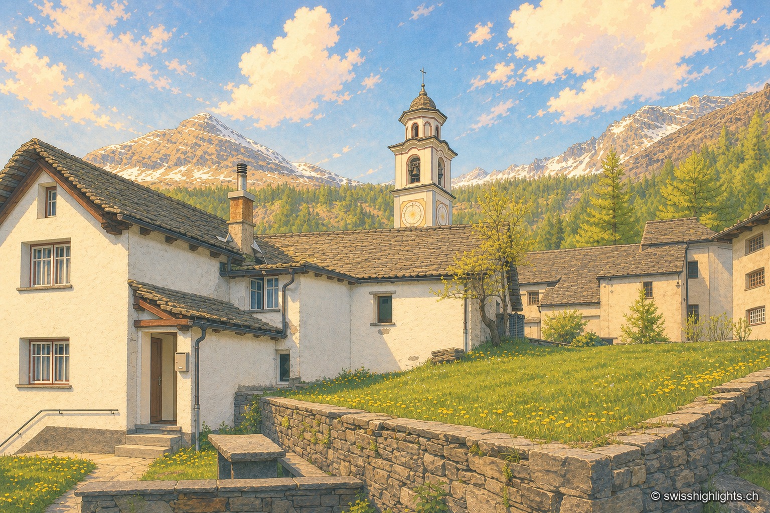
In the foreground, a dry-stone wall and a meadow of blooming dandelions; behind, the houses of Bosco/Gurin, whitewashed and covered with wide stone slabs, line up around the onion-domed church steeple; in the background, light-colored larches and two still snow-covered ridges under a May sky.

Village · Val Rovana, Ticino

Bosco/Gurin

Walser settlers arrived here in the thirteenth century and brought an Alemannic speech that isolation kept archaic. At 1,506 metres, Bosco/Gurin is still the highest village in Ticino — and the only German-speaking one by tradition.
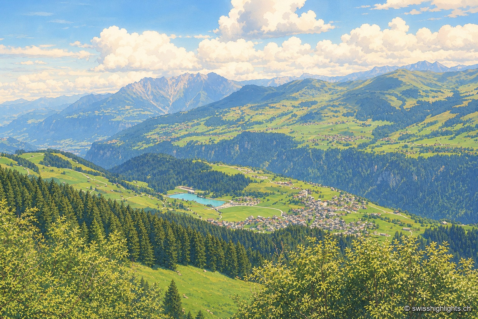
Summer view taken from the opposite slope, above the forest: the village of Breil/Brigels spreads over its terrace of grass and woodland, light-colored houses clustered along the slope, with a small turquoise lake to its left; in front, fir trees descend toward the void of the Vorderrhein valley, and in the background the ranges of the Surselva rise in tiers under a sky of cumulus clouds.

Surselva village · Grisons

Breil/Brigels

Recorded in 765 as Bregelo, the village has carried its double Romansh and German name since 1943. Above it a spruce forest has been left unlogged since 1911, between 1,580 and 2,015 metres.
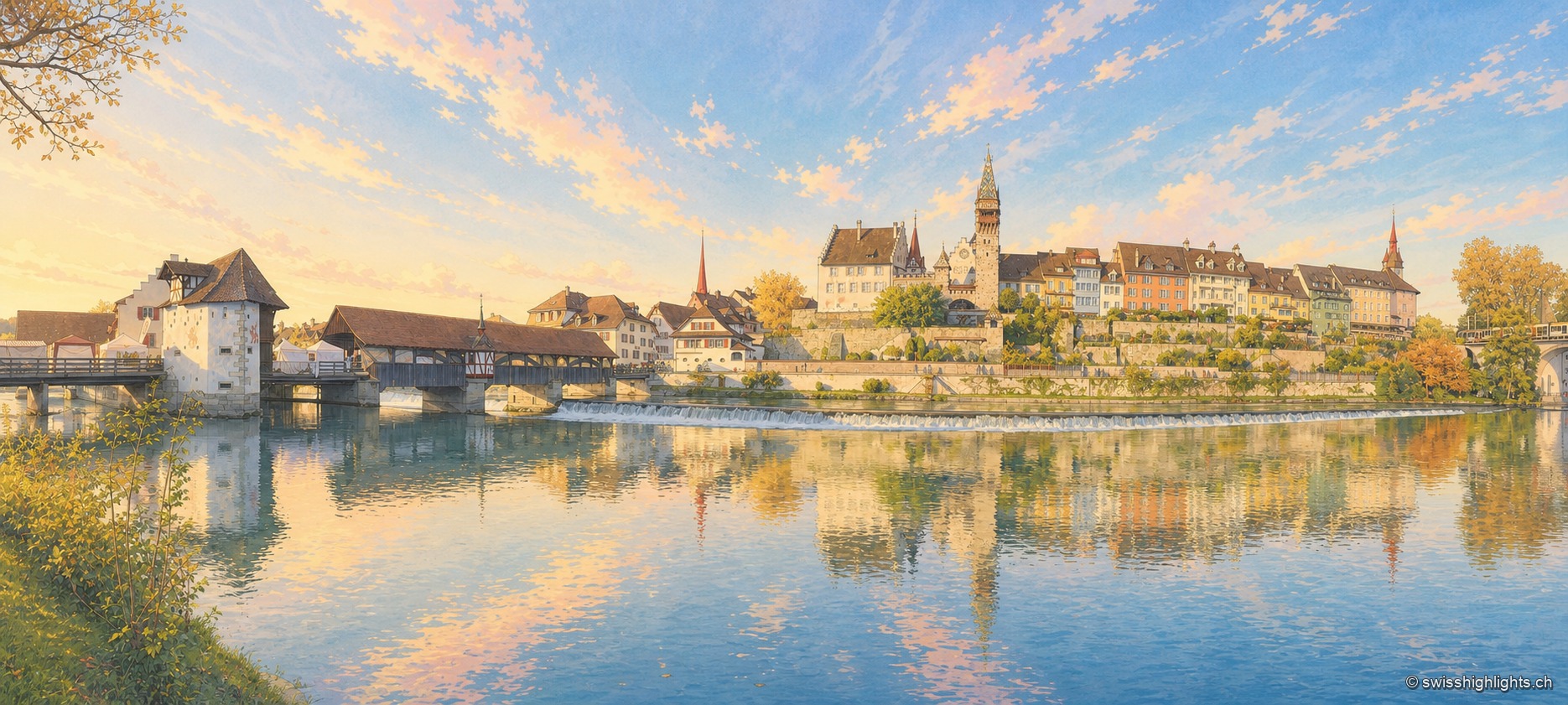
Panorama of Bremgarten from the opposite bank of the Reuss, at the end of an autumn day: on the left, a covered wooden bridge with a long tiled roof crosses the river from a white gate tower; a foaming weir crosses the current along its full width; above the embankment wall, the town's houses line up in ochre, yellow and white facades, dominated by a tall clock tower with a red roof and two church spires. The river, smooth and dark, reflects the whole town in the lower half of the image.

Small town · Aargau

Bremgarten

The old town sits in a bend of the Reuss, still crossed by a covered wooden bridge. Four great markets set the year: those of Easter and Whitsun are over 750 years old, and the Christmas market, begun in 1995, lines up more than 300 stalls.
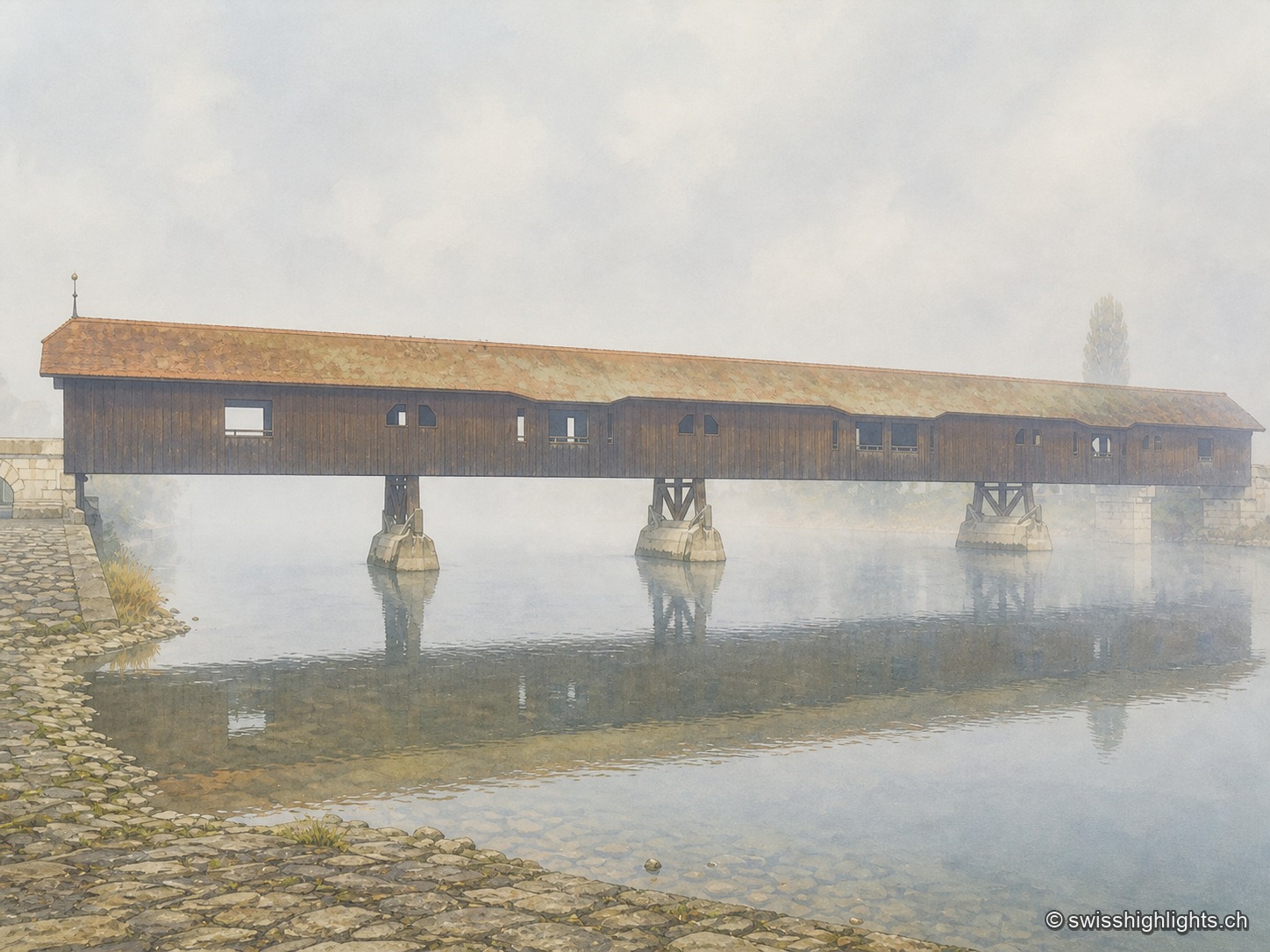
The covered wooden bridge of Büren an der Aare seen from the side on a foggy morning: a long dark wooden deck under an ochre tiled roof, carried on masonry piers in the middle of the Aare, above which mist rises over the calm water; in the foreground, the paved riverbank.

Medieval small town · Seeland

Büren an der Aare

A timber crossing has linked the two banks since the 13th century. Destroyed eight times by floods, ice or fire, it is now in its ninth version, opened in 1991 after the arson of 1989.
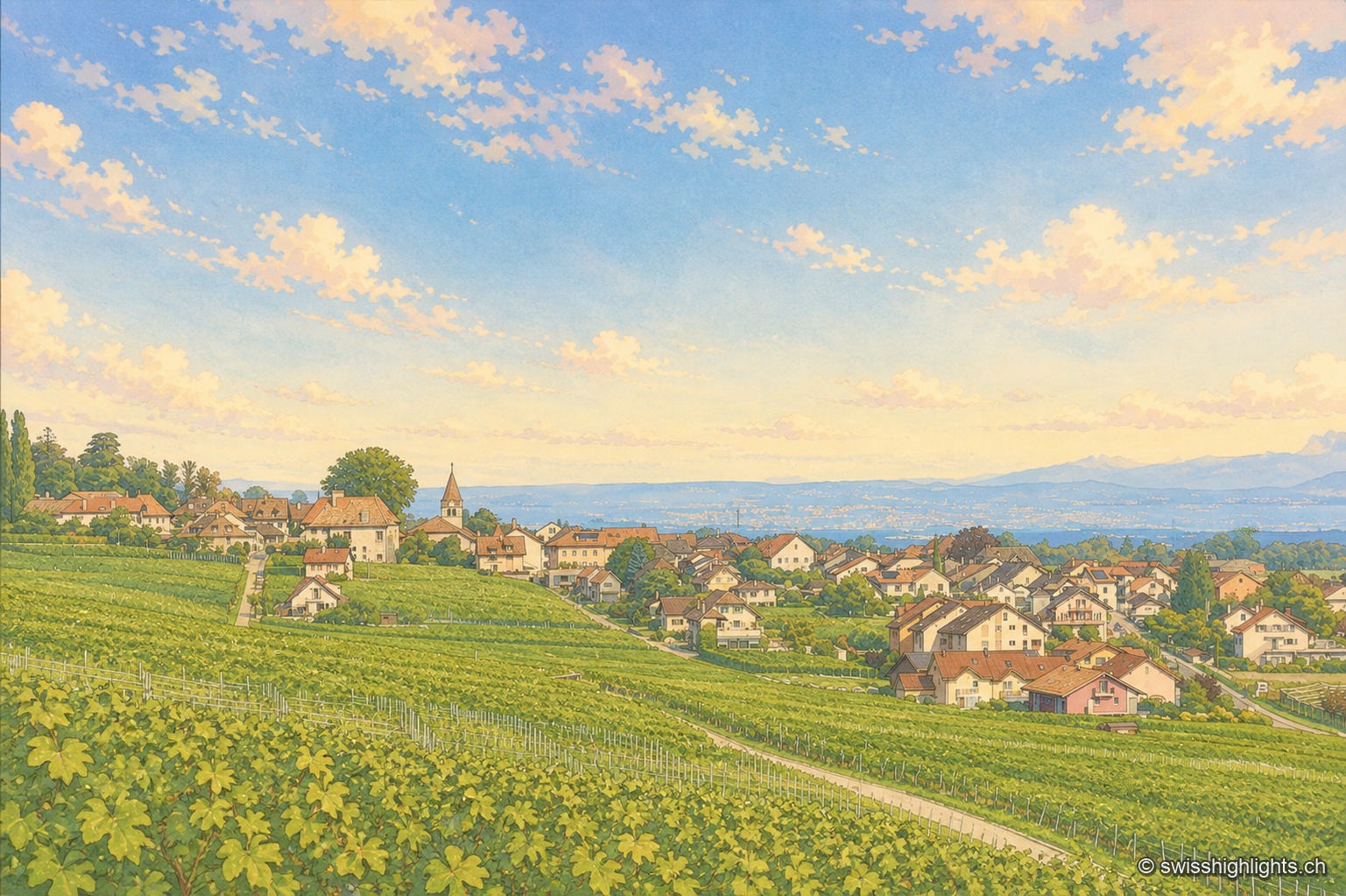
The village of Bursins seen from the vineyards at the end of the day: rows of vines fill the entire foreground, the houses and bell tower huddle in the middle of the hillside, and behind them the plain, Lake Geneva and the opposite shore fade into the heat haze.

Wine village · La Côte, Vaud

Bursins

The church of Saint-Martin, built in the 11th century and a priory of Romainmôtier from 1238, holds the upper end of the village. Below it the vines run down towards the plain and the lake.
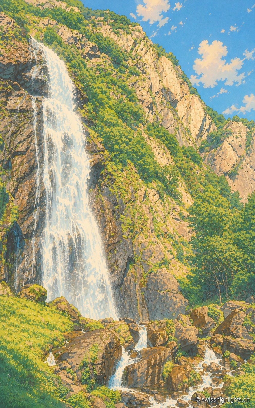
The waterfall descends in the left half of the frame as a long white sheet plastered against a dark rock wall streaked with grass; on the right, the rocky slope rises in full sunlight toward a cloudless blue sky, and in the foreground the water breaks into rivulets between brown boulders and green tufts.

Waterfall · Valais

Cascade de la Pissevache

Looked at since the 17th century, it also turned mills; from 1866 a walkway took visitors under the water. The Salanfe dam, built from 1947 to 1950, has greatly reduced its flow.
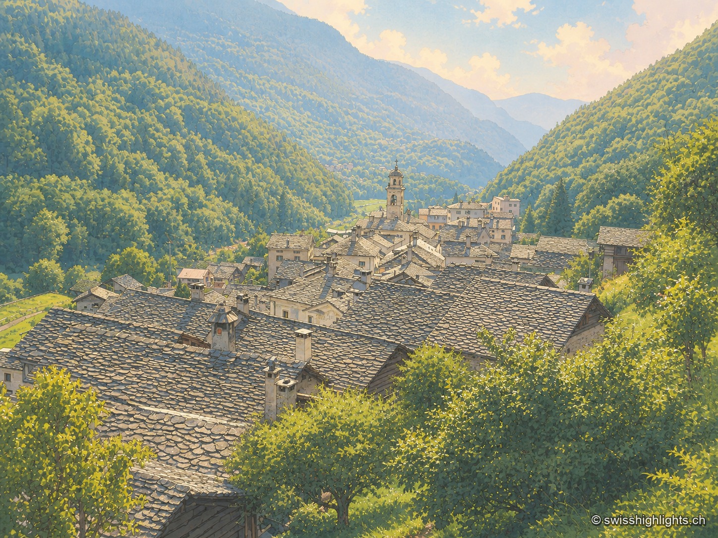
Elevated view from a hillside over the stone roofs of the village, clustered around a bell tower, nestled in a wooded valley closed off by peaks veiled in mist; in the foreground, a flowering meadow and tall purple flowers border the viewpoint.

Border village · Val Bregaglia

Castasegna

Castasegna, the lowest village of the Graubünden Bregaglia, first recorded in 1374, groups Villa Garbald (1862-1864, Gottfried Semper) and the Roccolo tower (2004, Miller & Maranta), near the former largest chestnut forest in Europe.
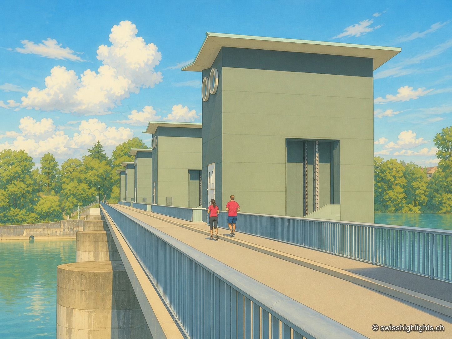
From downstream, in the warm light of late day: the machine hall stretches above the Rhine under a sawtooth roof, its glazed facade punctuated by V-shaped mullions; on the left, two dam piers carry dark green cabins pierced by two round openings, and the walkway on the dam reveals a few figures. The nearly still green water of the river casts its reflection.

Run-of-river plant · Rhine

Birsfelden power station

Four Kaplan turbines under a 12-metre head, two locks for the barges, and over the whole thing a path open to walkers and cyclists. Between 2006 and 2015 the plant produced an average of 570 GWh a year.
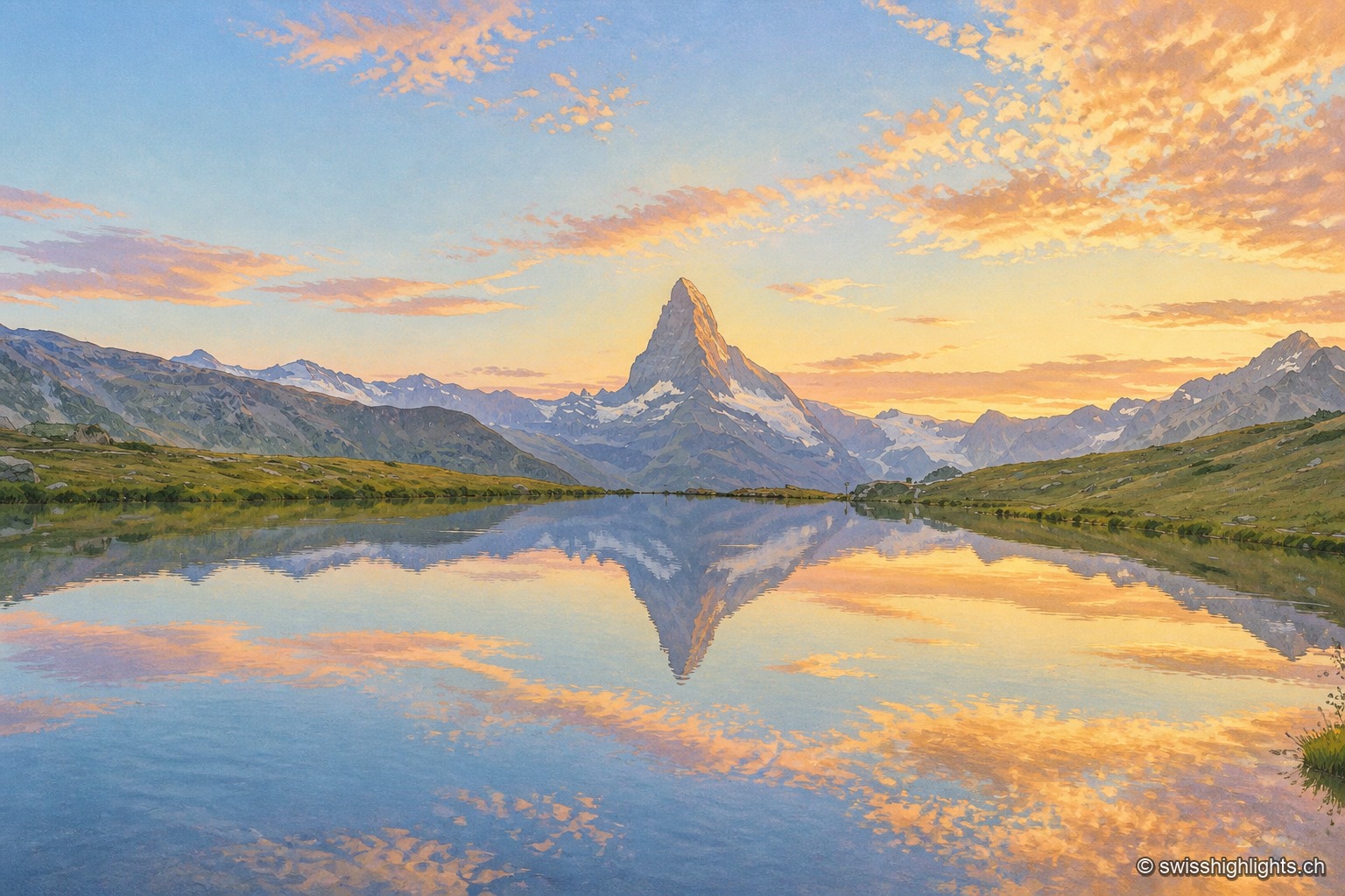
At daybreak, the dark pyramid of the Matterhorn occupies the center of the frame, between lower snow-covered ridges; the Stellisee, perfectly still in the foreground between two banks of short grass, casts its exact reflection along with that of the pink and golden clouds crossing the sky.

Peak · Valais and Aosta Valley

Matterhorn

Four faces close 400 metres below the top. The summit ridge, 100 metres long, carries two summits and marks the border; the first ascent, in 1865, cost the lives of four of the seven men who made it.
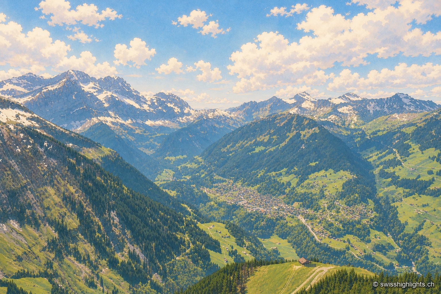
High-angle view over the valley from a wooded slope: dark fir trees and an alpine pasture ridge crossed by a path in the foreground, at the bottom of the valley the village spread along its road, its roofs clustered among the meadows. On the left, a still snow-capped limestone ridge bares its jagged teeth above the forests; on the right, grassy slopes dotted with chalets climb toward other summits. The sky fills the upper third, full of fair-weather cumulus clouds.

Mountain village · Valais

Champéry

Tourism began here in 1857 with the opening of a first hotel. From its church of 1725 Champéry kept a bell tower ended by neither roof nor spire but by four stone arches shaped like a crown, listed in 1974.
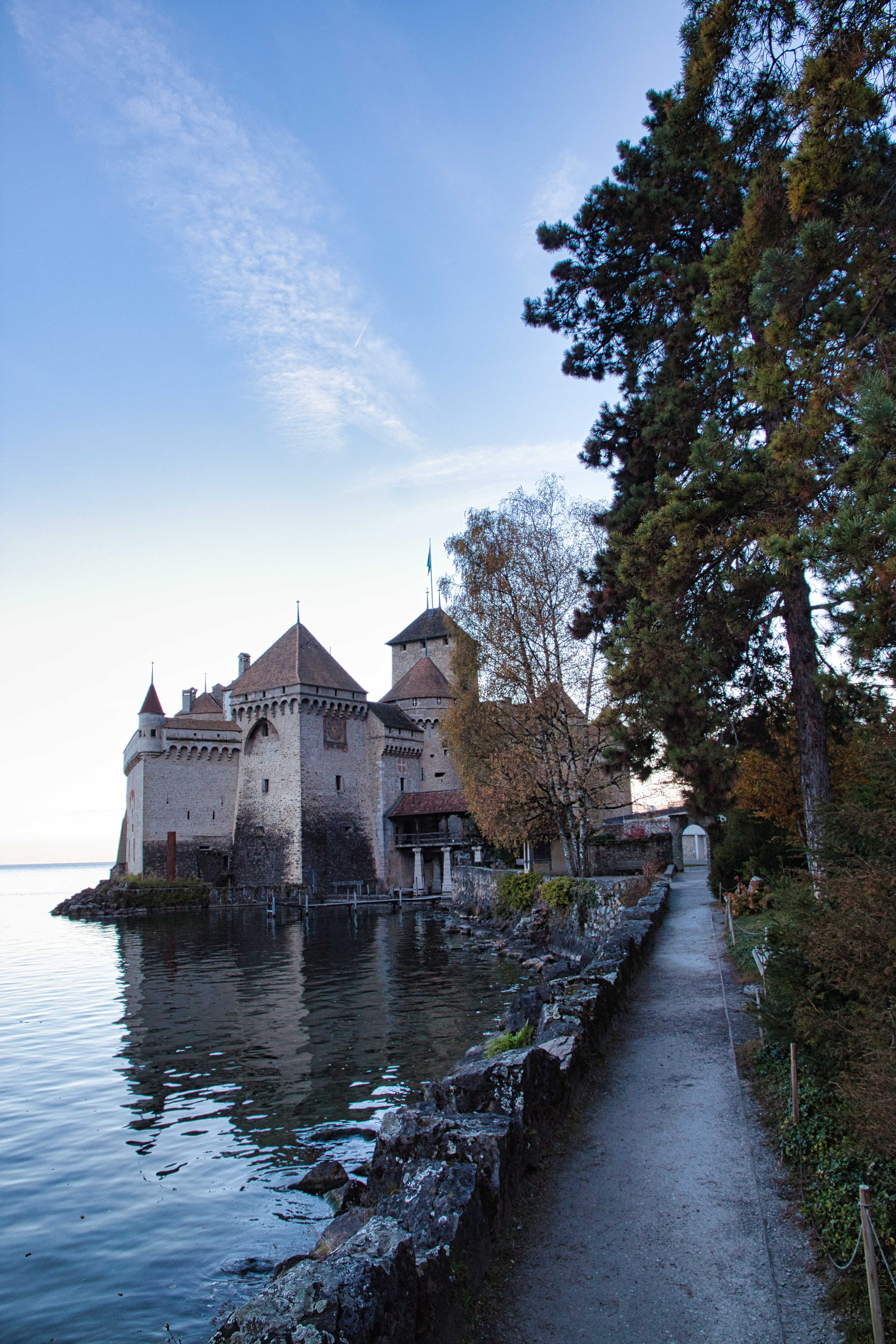
Chillon Castle seen from the south: its towers and main building, covered with tiled roofs, stand on a rock at the edge of Lake Geneva, bordered by a tree-lined lakeside path.

Medieval castle · Vaud

Chillon Castle

On a limestone rock at the edge of Lake Geneva, Chillon layers eight centuries of occupation: seat of the counts of Savoy, Bernese bailiwick for some two hundred and sixty years, cantonal monument since 1798.
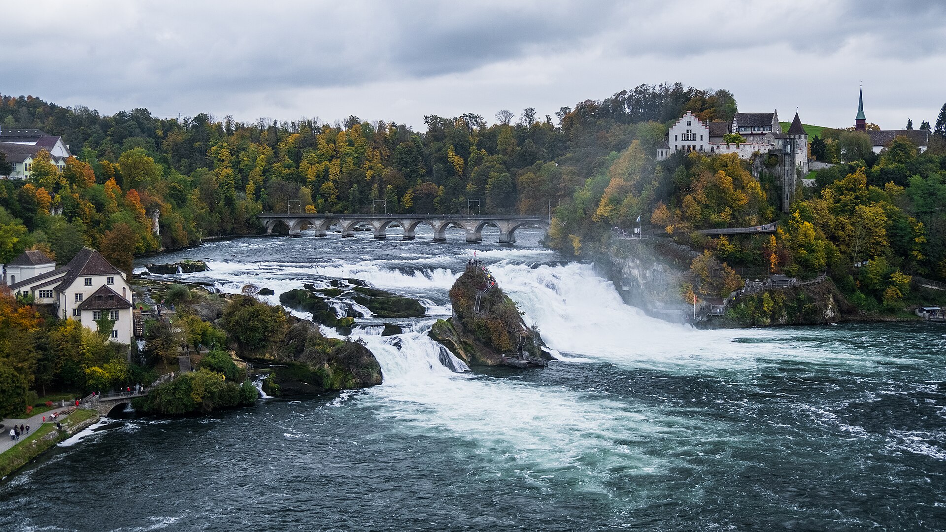
The Rhine Falls in full width: the sheet of white water splits around the vegetation-covered central rock; on the bank overlooking the falls stands Laufen Castle, surrounded by trees in autumn colors, and a bridge spans the river upstream.

Waterfall · Schaffhausen

Rhine Falls

A sheet of water 150 metres wide falls 23 metres over a sill of Malm limestone. As a summer average, the flow is close to 600 cubic metres per second.
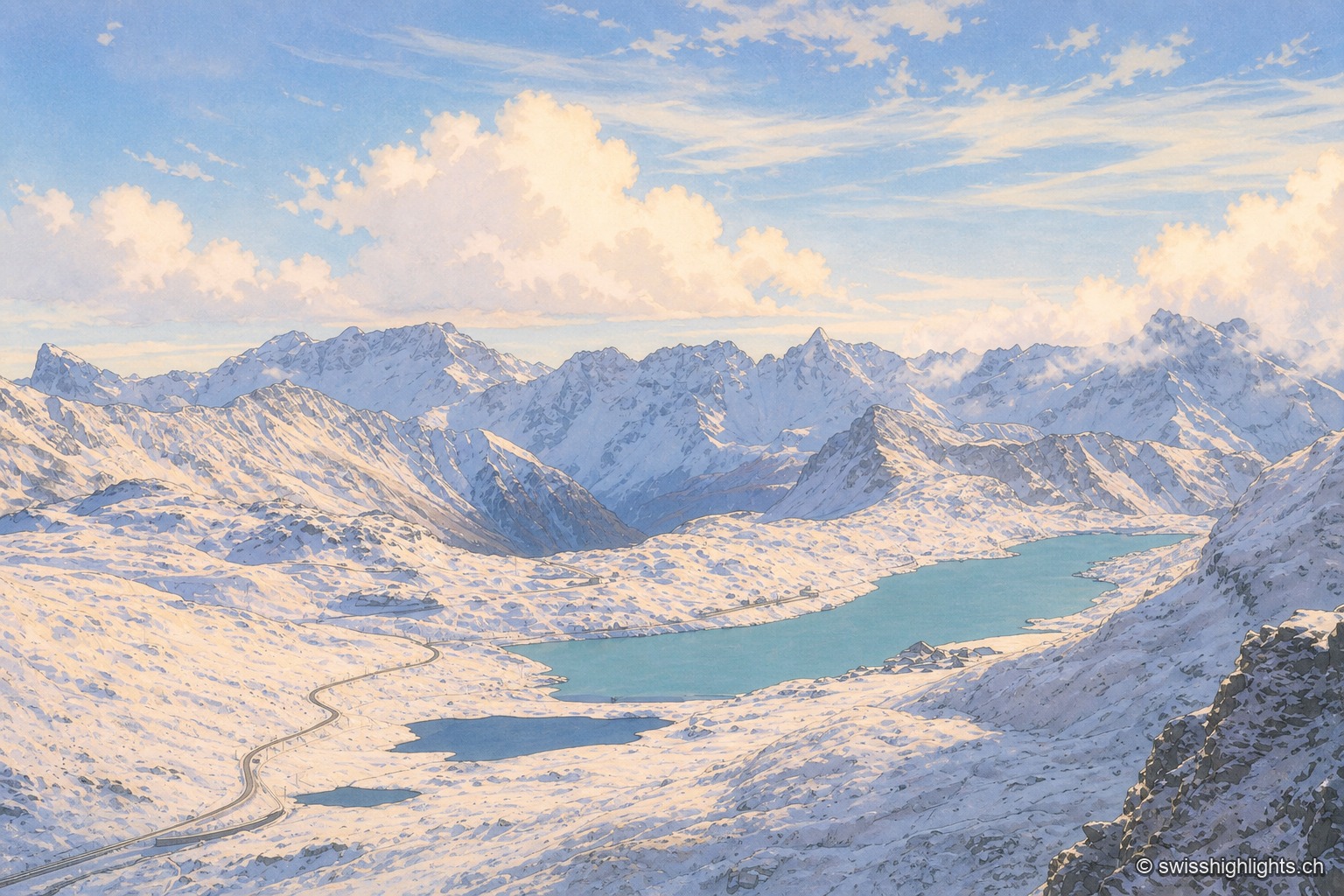
A red-and-white Rhaetian Railway train crosses a low metal bridge at the edge of Lago Bianco, whose turquoise water fills almost the entire frame; in the foreground, tall golden grasses line the shore, under a hazy sky.

Alps' highest year-round pass

Bernina Pass

Sitting on the watershed between the Black Sea and the Adriatic, the pass holds a hospice and two lakes, the Lej Nair and Lago Bianco. The road opened 1842-1865 (38 km); the Rhaetian Railway line was built in 1908-1910.
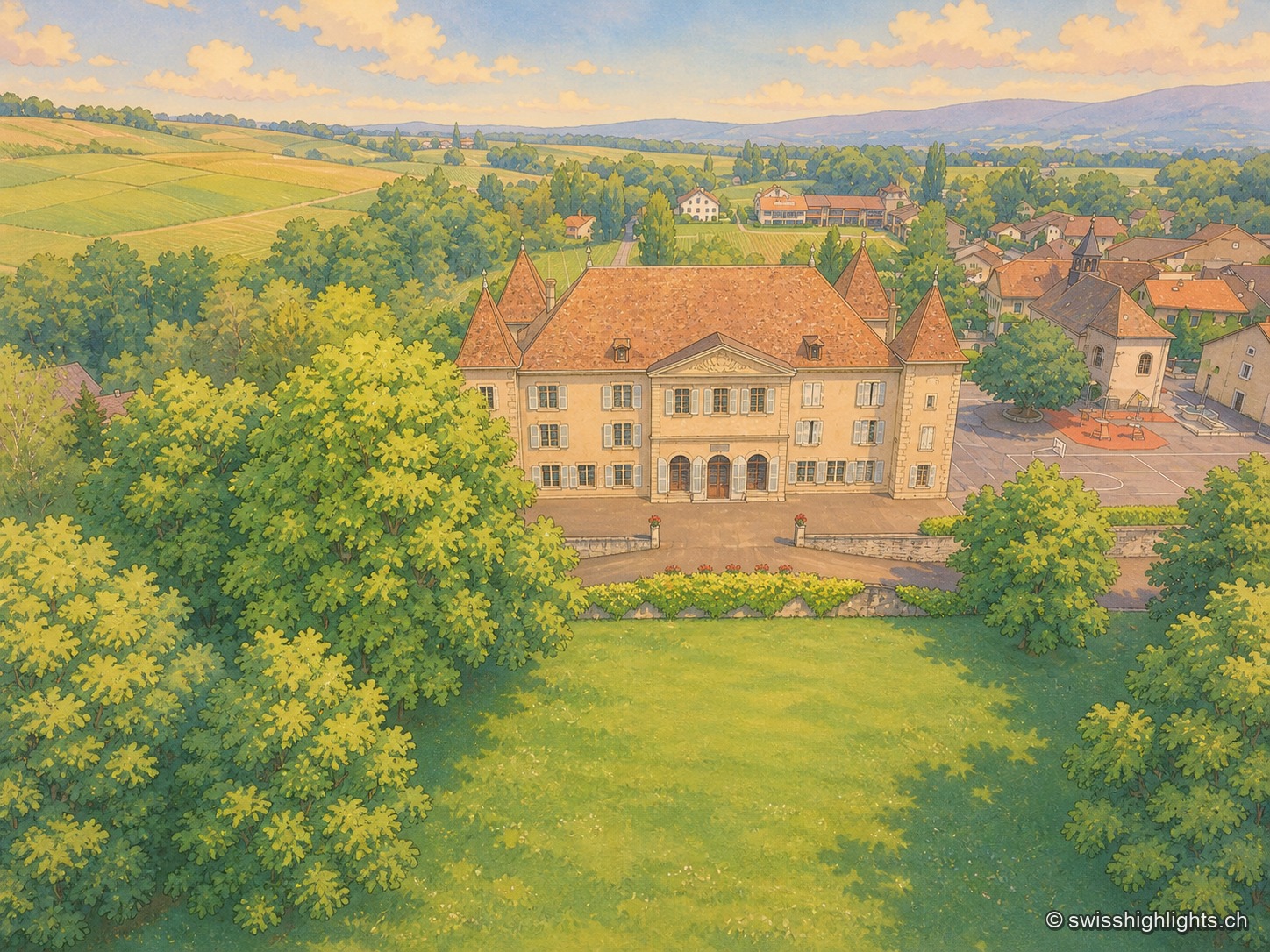
A drone aerial view of the village of Dardagny taken in late afternoon: the Genevan château, with its slate roof and central turret, occupies the center of the image, surrounded by the church tower and the village's tiled roofs; all around stretch rows of vines, cultivated fields and copses, under a low, raking light that lengthens the shadows.

Wine-growing village · Geneva

Dardagny

The largest château in the canton of Geneva, rebuilt by the banker Jean Vasserot in 1723, holds the centre of the village; in 1978 the Wakker Prize honoured the conservation of the site, a member since 2021 of the Most Beautiful Villages of Switzerland.
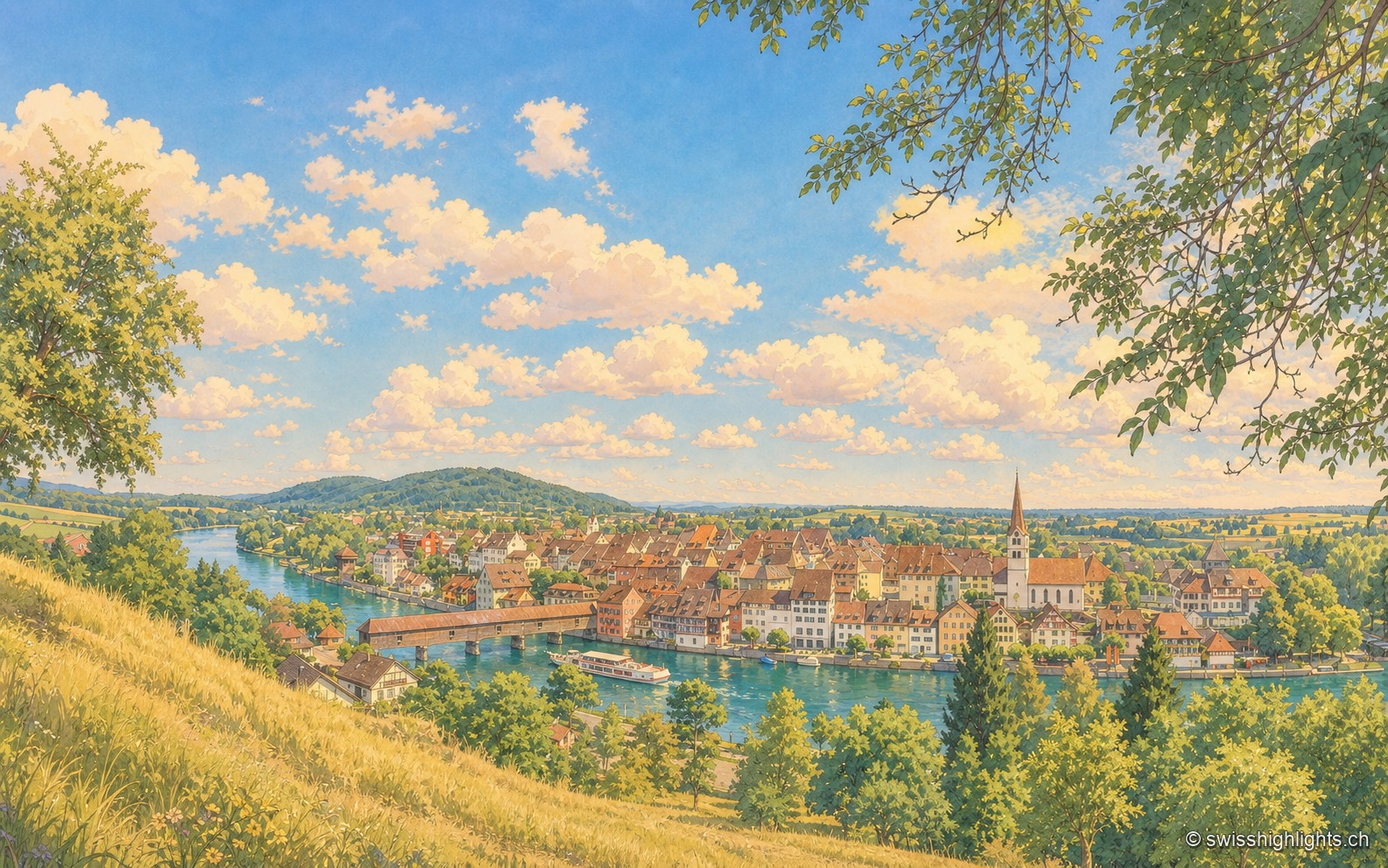
Elevated view of Diessenhofen from a height on the opposite bank: the Rhine looping through, the covered wooden bridge on the left, a passenger boat before the quay, the tightly packed roofs of the town and the church bell tower at the center, under a summer sky with cumulus clouds.

Rhine town · Thurgau

Diessenhofen

Raised to town status in 1178 by the counts of Kyburg, Diessenhofen has kept its medieval street plan, its Seal Tower with a zodiac dial, and its covered wooden bridge across the Rhine into Germany.
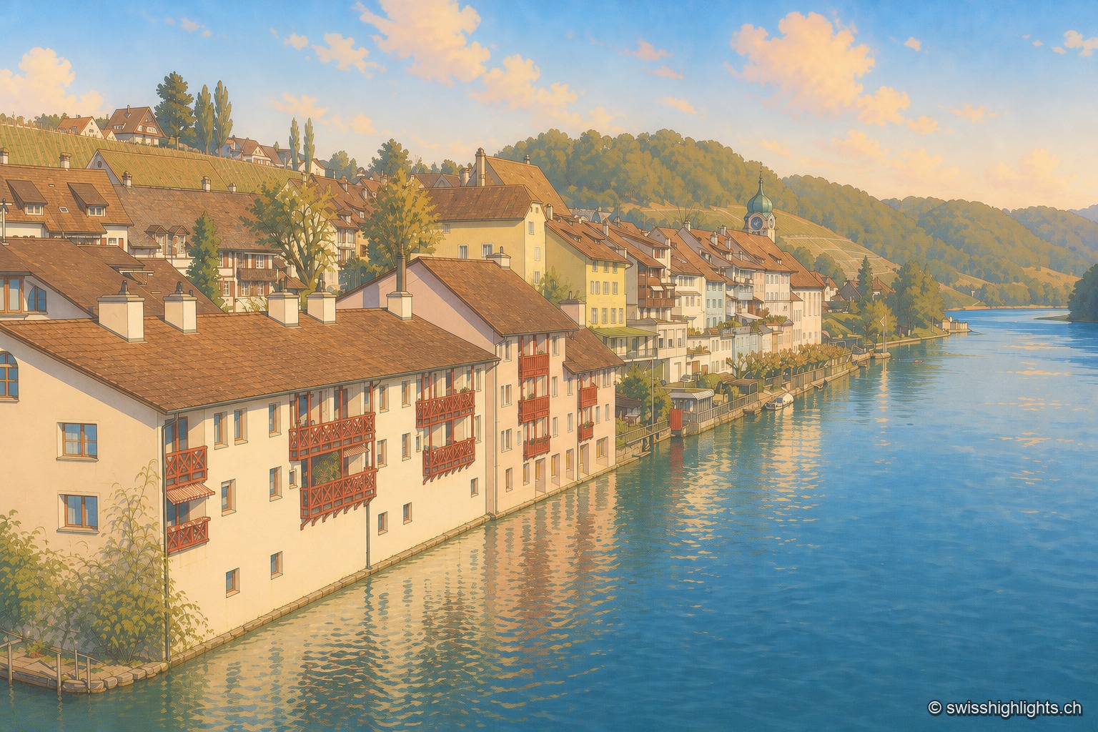
The Eglisau waterfront seen from the bridge: a row of houses with red wooden balconies plunging into the blue Rhine, an onion-domed bell tower in the middle of the row, a vine-planted slope above, and the river receding between wooded hillsides.

Rhine wine town · Zurich

Eglisau

On the north bank of the Rhine, Eglisau lines its houses at the water's edge below vineyard slopes. The dam built between 1916 and 1920 raised the river by 8.5 metres, taking with it the old bridge and the houses along the bank.
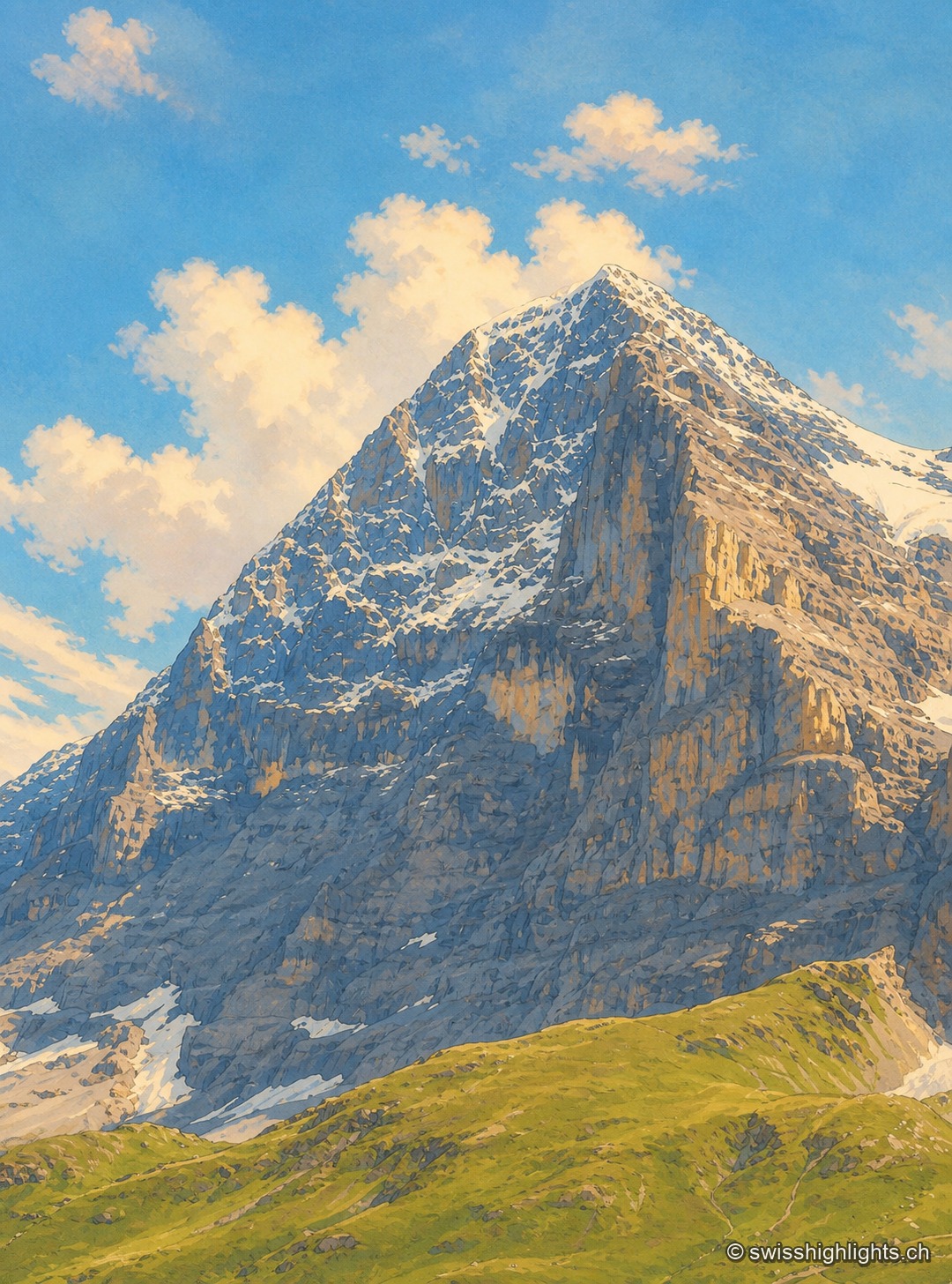
The north face of the Eiger seen head-on in summer: a wall of dark limestone streaked with tilted strata, topped by a snow-covered summit pyramid under wispy clouds, with grassy slopes and snow patches at the foot of the face.

Summit · Bernese Alps

Eiger

The Eiger carries its summit to 3,967 metres above Grindelwald. Its north face, about 1,650 metres high, was not climbed until July 1938; since 1912 a railway has run through the mountain itself.
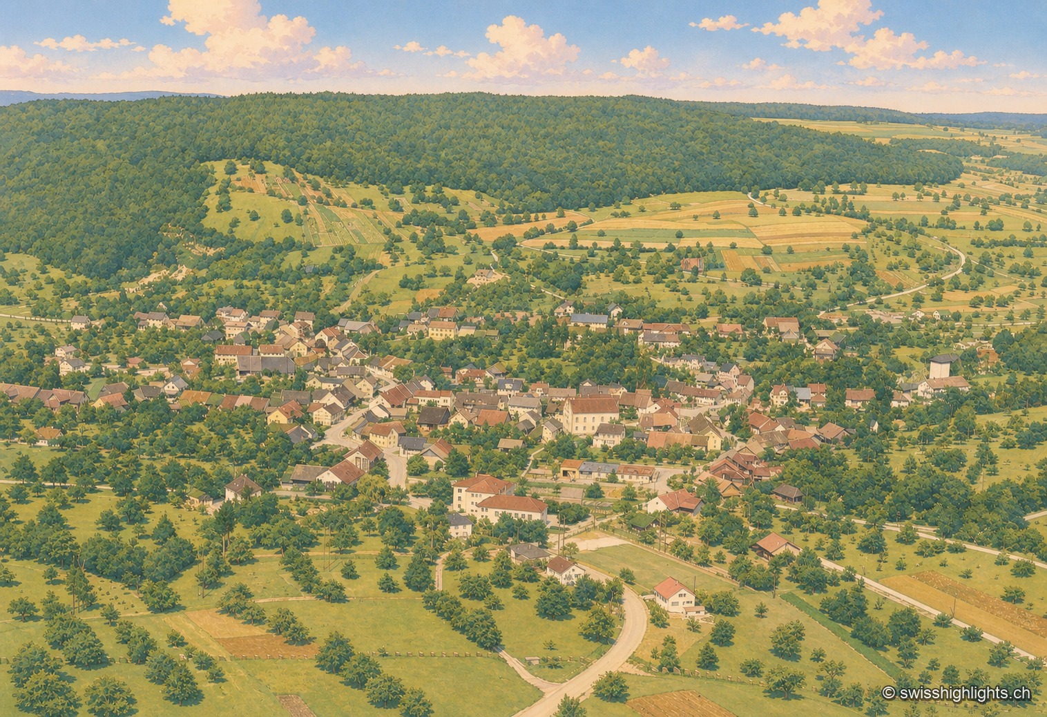
Black-and-white aerial photograph of the village of Endingen, nestled in the hollow of a wooded valley. The rooftops of the old town cluster around a central axis, surrounded by rows of orchards and sloping meadows; a forested ridge closes off the horizon in the background, under a clear sky. A corner of an airplane wing appears in the upper left corner of the shot.

Historic Jewish commune · Aargau

Endingen

With no Catholic or Reformed church, the village's only religious building is its synagogue, built in 1764 and rebuilt in 1852 after the 1802 pogrom. Ruth Dreifuss, President of the Confederation in 1999, was born here in 1940.
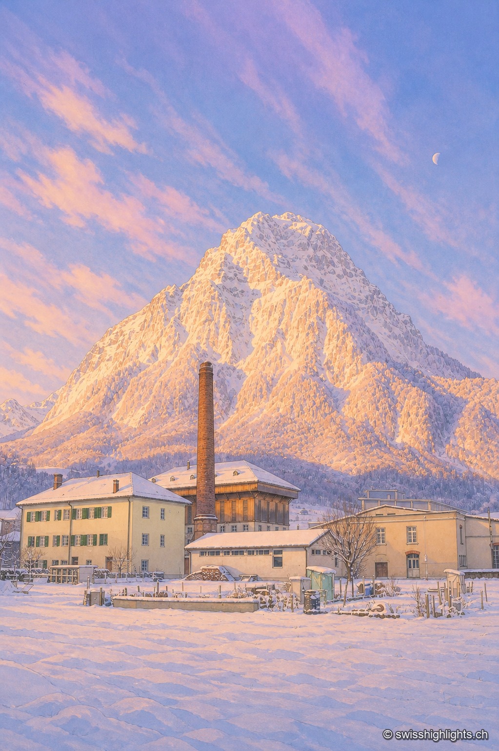
A brick factory chimney stands before a pyramidal mountain entirely gilded by the low light of a winter sunset, its illuminated face in yellow and orange contrasting with a blue-violet sky streaked with long, thin clouds. In the foreground, industrial and residential buildings with snow-covered roofs, surrounded by a snow-covered kitchen garden; a thin crescent moon is visible at the top right of the sky.

Former industrial village · Glarus

Ennenda

2,684 inhabitants, a Gemeindehaus built like a palace in 1889-1890, the chocolate maker Läderach: Ennenda, merged into Glarus since 2011, was carried first by the slate-table trade, then by textiles.
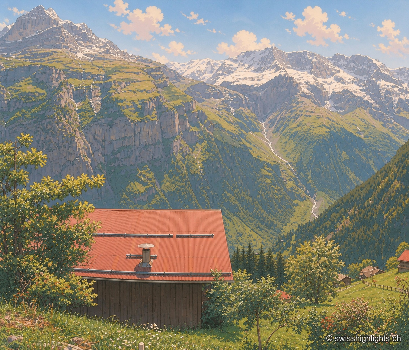
The red corrugated roof of a wooden chalet fills the foreground, with a round white chimney set on it; behind, a meadow of tall grass and wildflowers slopes down toward a wooded valley where a stream, white with melted snow, winds along. In the background, a chain of rocky, glaciated peaks stands out under a blue sky with scattered clouds, in the crisp light of midsummer.

Car-free mountain village · Bern

Gimmelwald

130 inhabitants in 2003, a Walser house from 1658, an access still impossible by car: Gimmelwald stands at 1,367 m between Stechelberg (867 m) and Mürren (1,650 m), at the foot of the Jungfrau-Aletsch UNESCO site.
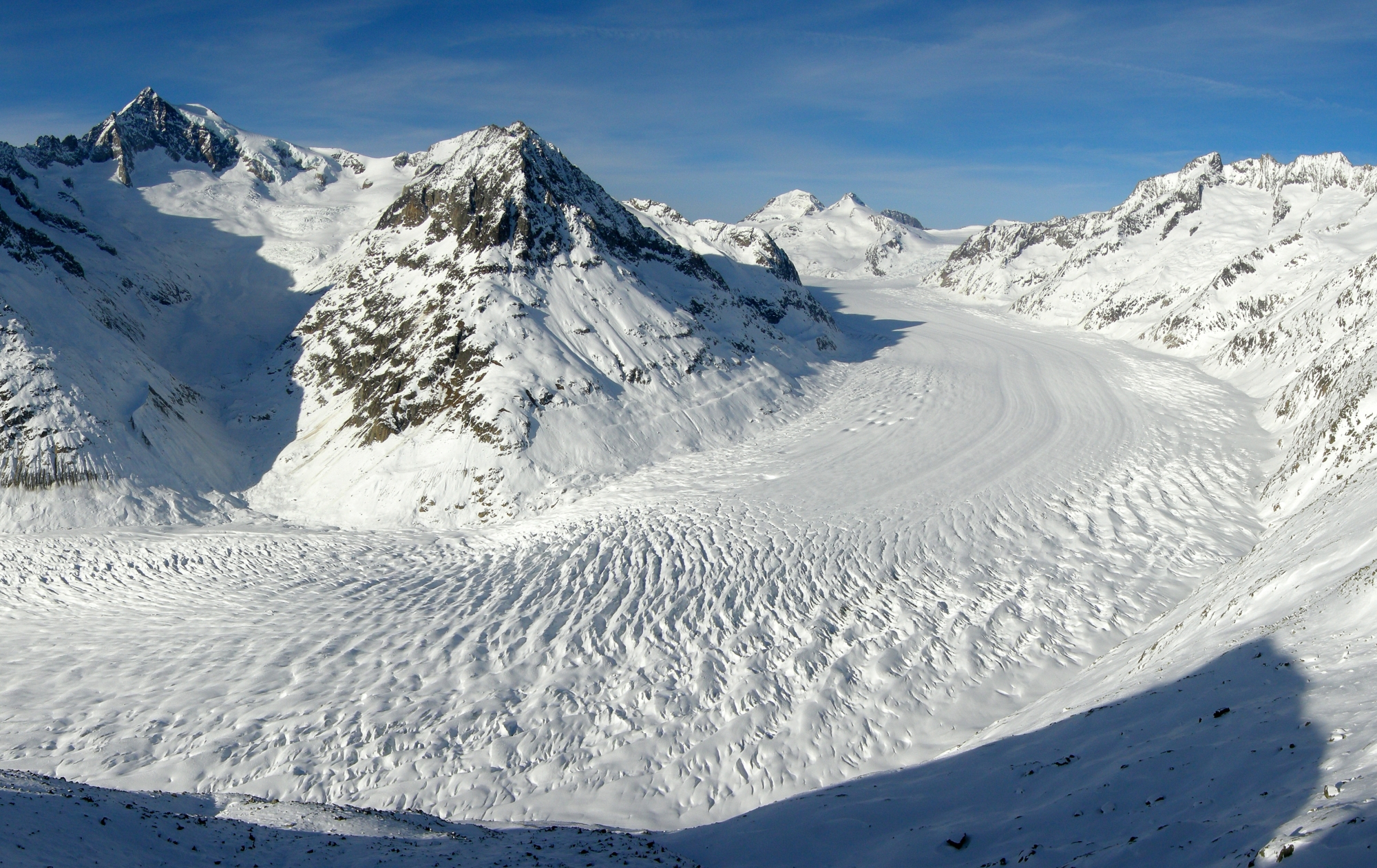
The Aletsch Glacier seen from the Eggishorn: the river of ice, streaked with long parallel dark bands, sweeps in a wide curve between snow-covered slopes; in the distance, the peaks of the Bernese Alps stand out under a blue sky.

Glacier · Valais

Aletsch Glacier

Three rivers of ice meet at Konkordiaplatz to form the largest glacier in the Alps. It flows 180 to 200 metres a year and loses up to 50 metres of length annually.
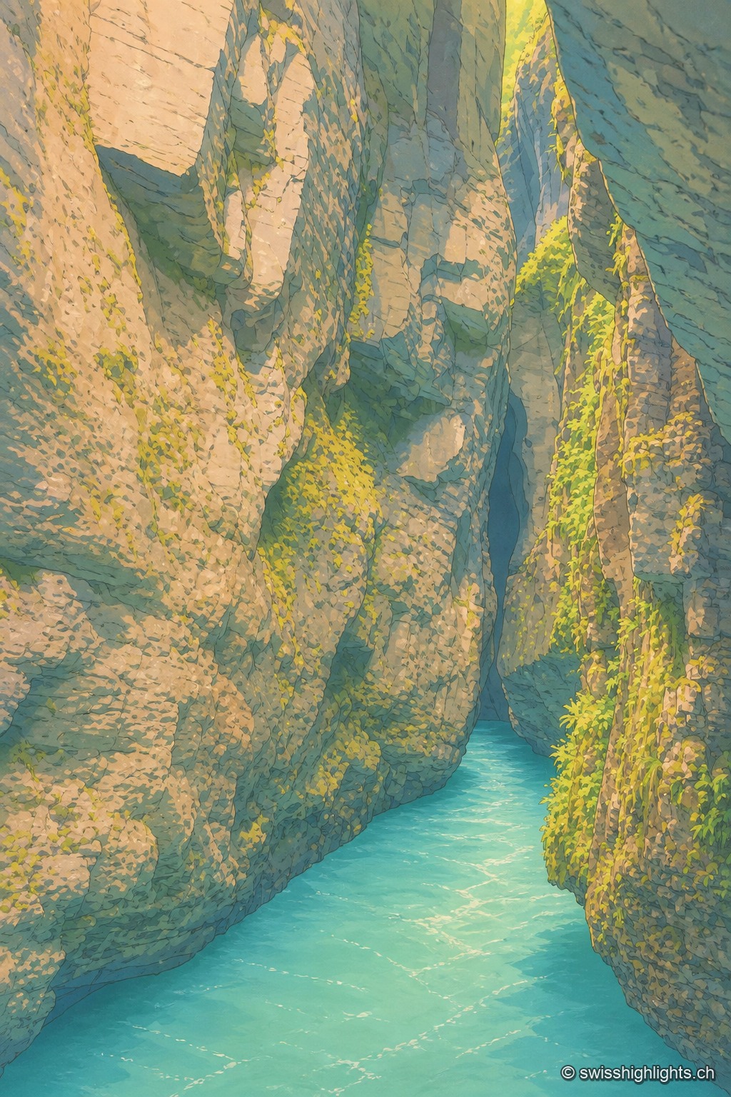
Vertical view at water level, turquoise water filling the entire bottom of the frame: the limestone walls of the gorge narrow into a dark, tight passage, mossy and covered with bright green ferns on the right, up to a black crevice at the very top, the only opening for light.

River gorge · Bernese Oberland

Aare Gorge

A path was opened to visitors here in 1888; electric lighting for night walks dates from 1912. 1,400 metres long, the gorge reaches 180 metres deep and narrows in places to 1 metre wide.
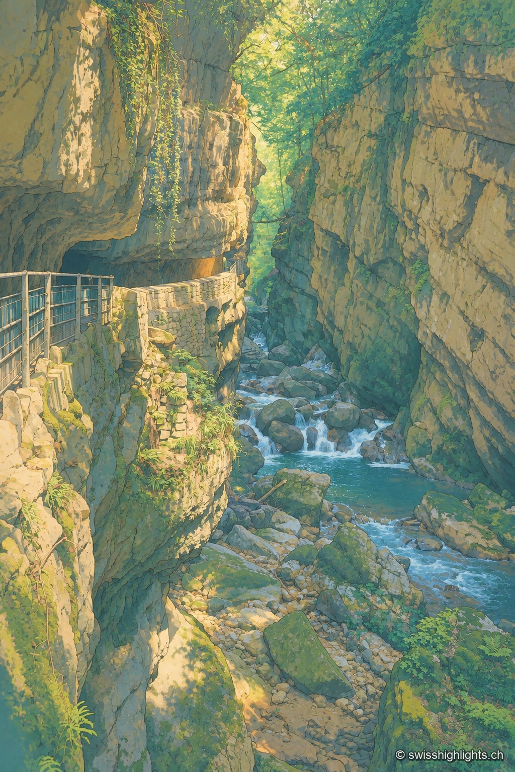
A metal walkway clings to the rock face of a narrow, wooded gorge, overlooking a turquoise torrent cascading between large boulders; the dark, moss-covered rock frames a break of light and green foliage at the top of the frame.

Limestone gorge · Biel, Bern

Gorges de la Suze

A footpath was laid out there in 1889; the gorge was placed under partial nature protection from 1927. The name Taubenloch, attested since 1532, remains of uncertain origin despite several competing explanations.
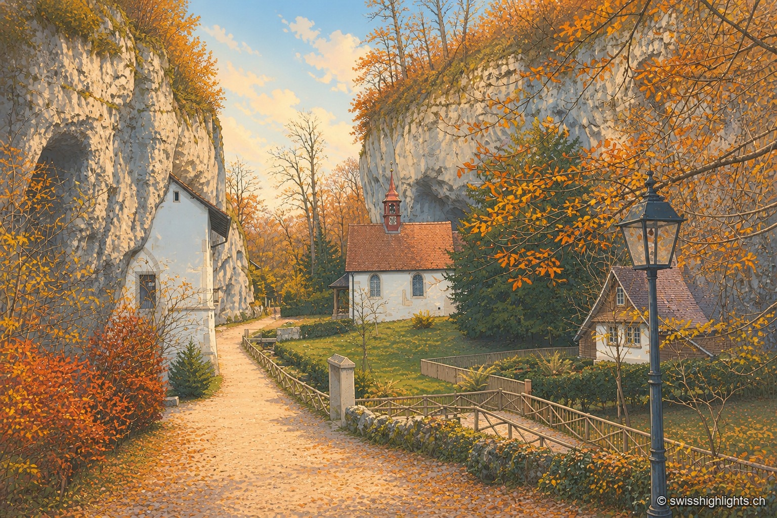
The autumn path leading to the hermitage of Saint Verena winds between two limestone walls pierced with small caves, beneath a canopy of russet and golden foliage; in the background, the white chapel with its red bell turret nestles against the rock, surrounded by a fenced garden and an old-fashioned street lamp.

Gorge hermitage · Solothurn

Gorges de Sainte-Vérène

Landscaped as a Romantic garden in the late 18th century by the French diplomat Louis Auguste Le Tonnelier de Breteuil, the gorge is ISOS-listed, and its hermitage is a class A Swiss cultural property.
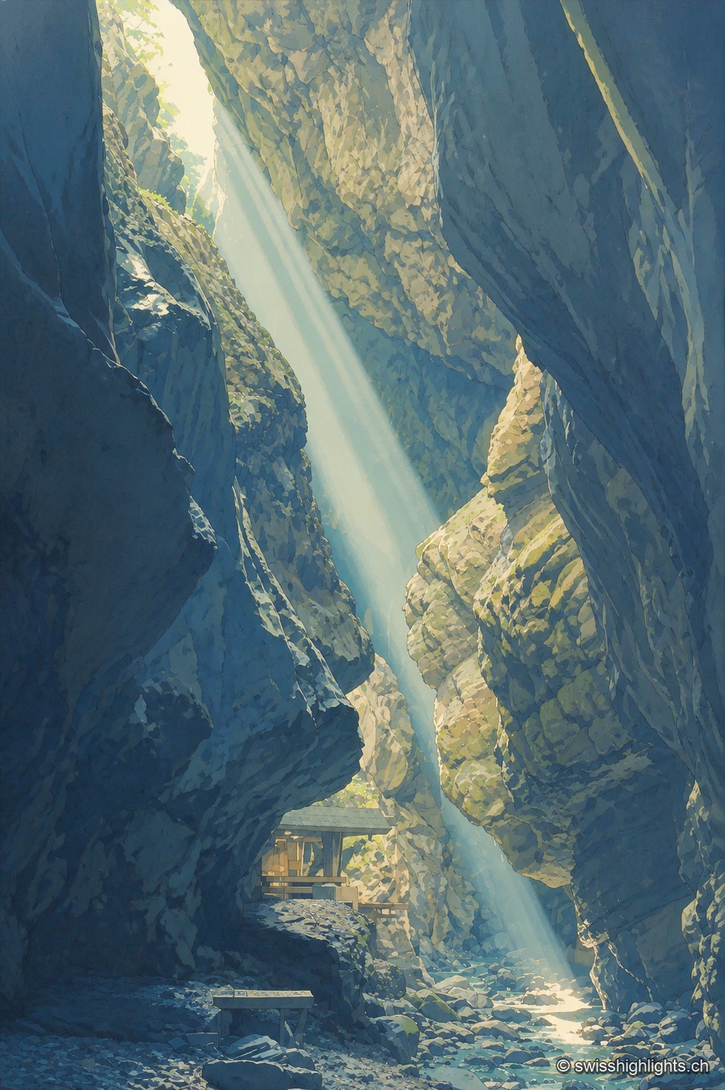
A ray of light falls almost vertically between the tall dark walls of the Tamina Gorge, lighting up the mossy rock face and the pebbly bed of the torrent; a small wooden shelter is tucked onto a ledge at the foot of the fissure.

Limestone gorge · St. Gallen

Gorges de la Tamina

Between Pfäfers and Bad Ragaz, the Tamina carved an 8.4 km gorge over 15,000 years, spanned by natural rock bridges; at its head, a 36.6°C spring, tapped since 1350, now feeds the baths of Bad Ragaz.
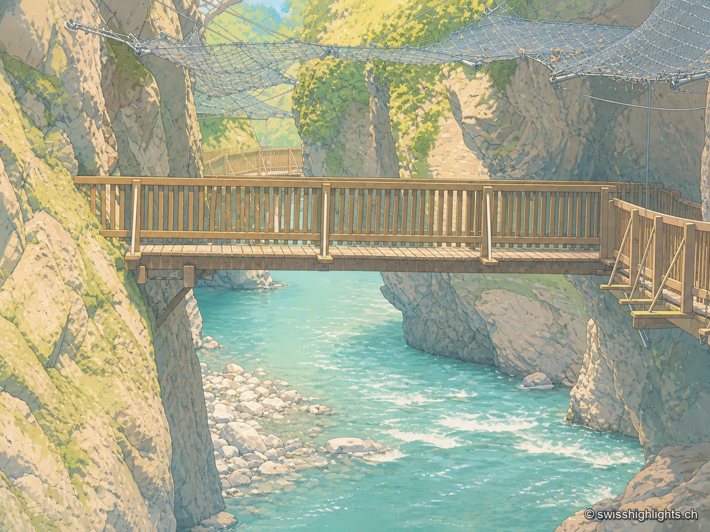
Wooden footbridge with a railing crossing the Trient Gorges above bright turquoise water, between two mossy rock walls; in the background, another footbridge and a safety net stretched above the gorge.

Alpine gorge · Valais

Gorges du Trient

Between the communes of Salvan, Vernayaz and Martigny, the Trient has carved a 2 km gorge through rock combining moraine deposits, amphibolite, limestone and schist; two bridges mark the trail that follows it to the Pissevache waterfall.
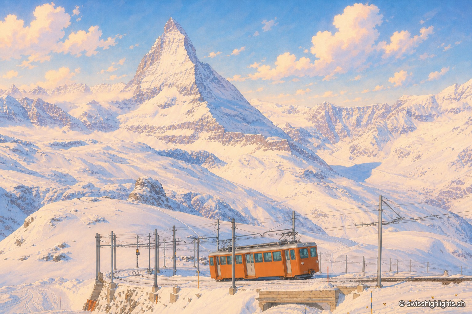
An orange railcar of the Gornergrat railway crosses a small snow-covered stone bridge, between the overhead lines and their metal masts; behind it, the white slopes of the Gornergrat rise toward the Matterhorn, a dark, snow-covered pyramid dominating the range, under a late-afternoon sky streaked with pink clouds.

Summit ridge · Valais

Gornergrat

From this ridge at 3,133 metres, more than twenty Alpine summits above 4,000 metres can be taken in at once. A rack railway has climbed here since 1898, and two hotel towers house observatories.
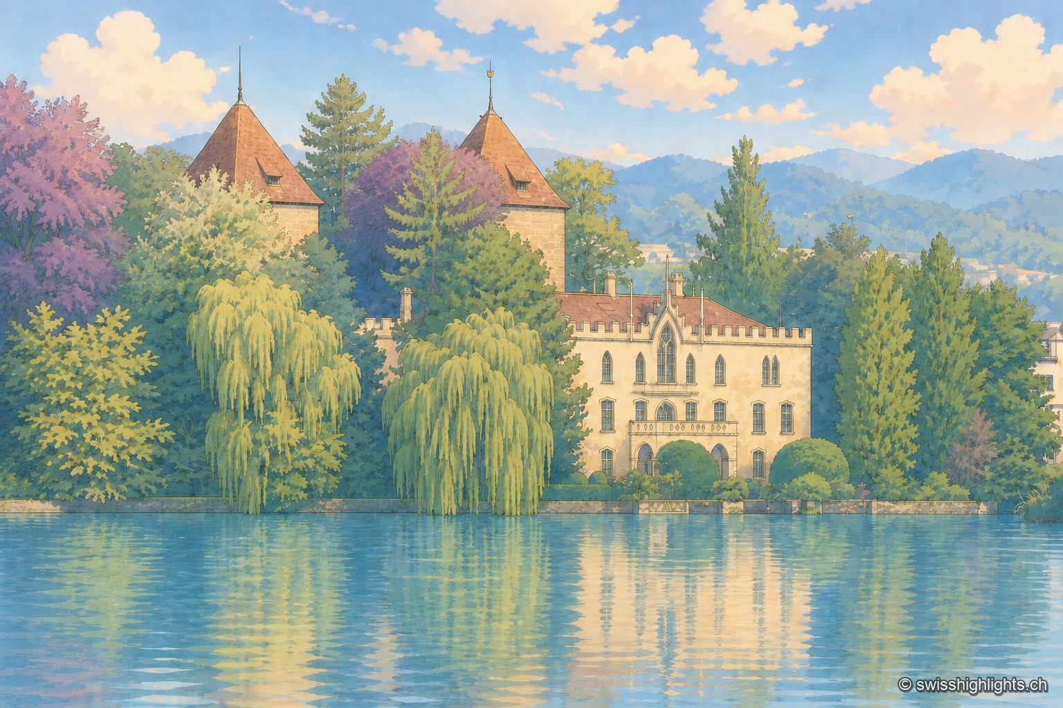
Gottlieben Castle, with its pale facade of crenellated gables and two turrets topped with red conical roofs, stands on the bank of the Seerhein behind a screen of weeping willows and trees with pink and green foliage; its reflection extends across the calm water under a summer sky dotted with large cumulus clouds.

Seerhein village · Thurgau

Gottlieben

The village was fortified in 1251 by bishop Eberhard von Waldburg. Its castle served as a prison: Jan Hus and antipope John XXIII were shut up there in 1415, during the Council of Constance.
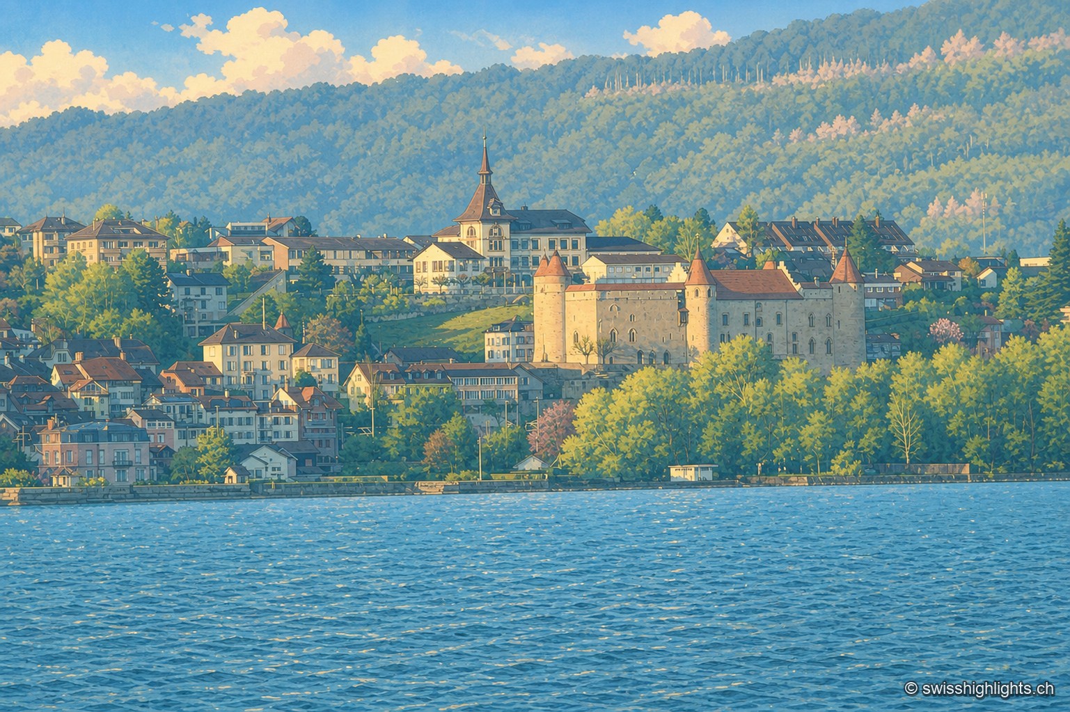
View of the town of Grandson from the opposite shore of Lake Neuchâtel, at the end of the day: the medieval castle, with round turrets and a red roof, overlooks the shore, surrounded by the village rooftops and the pointed spire of the church; in the background, a wooded hillside extends under golden light, and a bird flies over the calm water in the foreground.

Historic town · Vaud

Grandson

The castle of Grandson, at the centre of the town, overlooks the shores of Lake Neuchâtel where the Confederates defeated Charles the Bold on 2 March 1476; Grandson has belonged since 2016 to the Most Beautiful Villages of Switzerland.
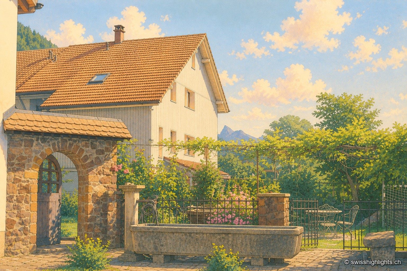
Farmyard in Grandvillard: a round-arched stone porch under a tiled lean-to roof, a climbing rose on a wooden pergola, and an old stone trough in front of a wrought-iron gate; in the background, the white, tile-roofed facade of the house and a peak of the Fribourg Prealps stand out under a summer sky.

Listed village · Gruyère

Grandvillard

Freed from mainmorte in 1388, the commune obtained its charter of liberties in 1439. The present church was consecrated in 1603, the bridge over the Sarine built in 1641. Since 2019, among the Most Beautiful Villages of Switzerland.
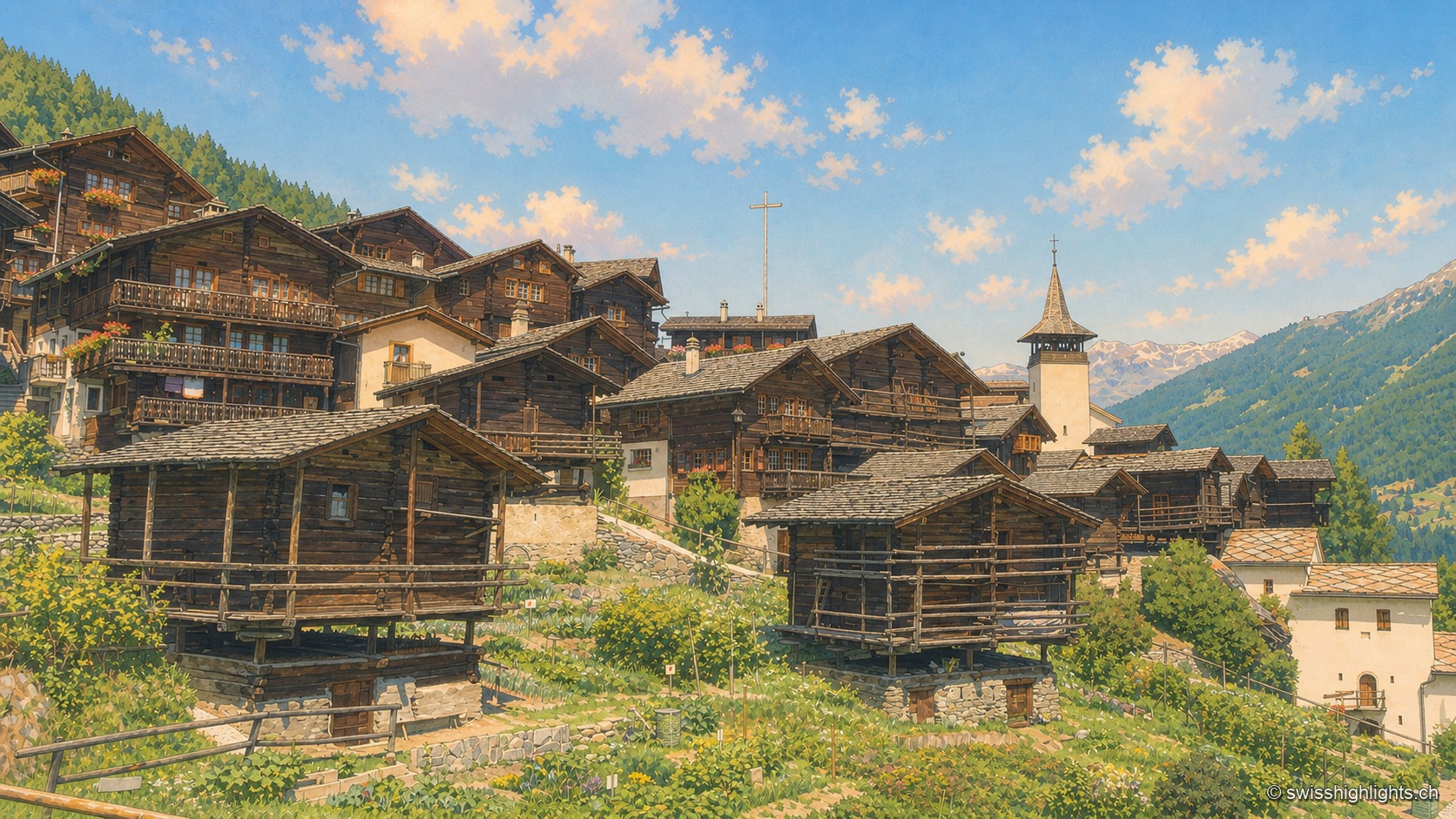
The village seen from the bottom of its slope, in full summer: in the foreground, two blackened wooden granaries (raccards) resting on their stilts and round stone slabs, above vegetable gardens; behind them the larch-wood houses rise in tiers, balconies laden with red geraniums, up to the church's white pointed spire and the tall mission cross jutting above the rooftops. To the right, the wooded slope of the Anniviers valley and a rocky ridge under a cloudless blue sky.

Valais · Val d'Anniviers

Grimentz

Grimentz holds its slope at 1,572 metres above the Val d'Anniviers. Raccards on stilts stand beside the Maison Bourgeoise of 1550, in whose cellars the vin du Glacier ages.
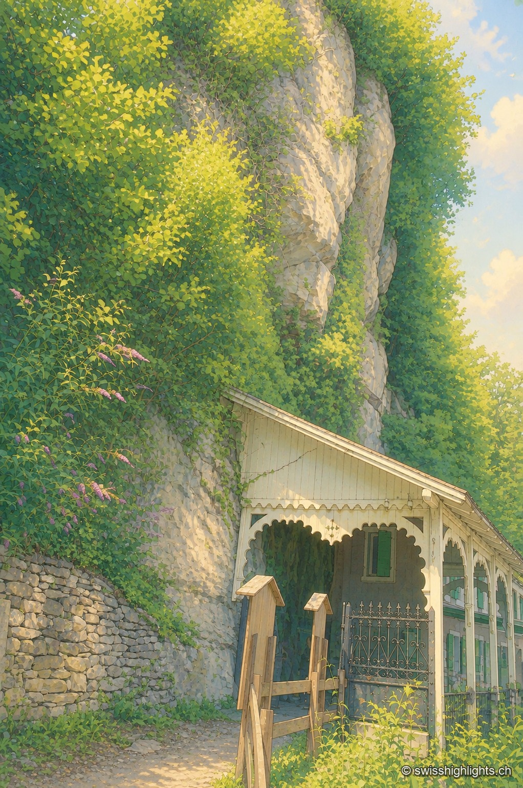
The entrance to the Grotte aux Fées, at the foot of a rock face overgrown with ivy and bushes: a small wooden shelter with a sloping roof protects the entrance, at the end of a path bordered by a white railing, under a clear summer sky.

Show cave · Valais

Grotte aux Fées

Opened to the public on 15 August 1864, the developed gallery follows the rock for 504 metres and ends beneath a 77-metre fall. Beyond it lies a network of 3,630 metres that the army extended between two Valais forts.
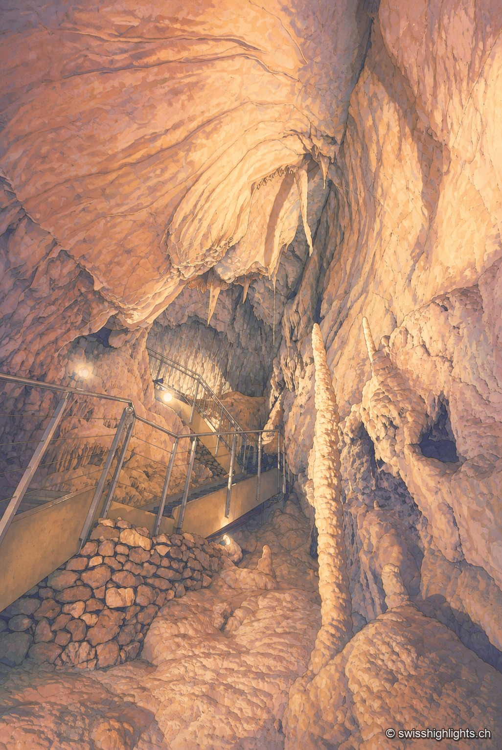
In a narrow gallery of the Vallorbe caves, stalactites hang from the rocky vault above a visitor wearing a headlamp, bending close to the formations; the floor features a concrete path running along the wall, under warm lighting.

Karst cave · Vaud

Grottes de Vallorbe

The Orbe leaves Lake Joux, vanishes into the limestone and comes back out 4.8 kilometres away at Vallorbe. Its underground course runs 2,980 metres with a drop of 228 metres; a third of the known network is walked in an hour.
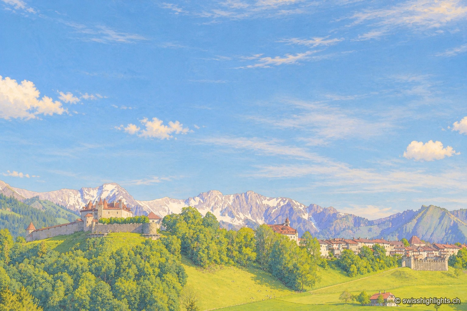
View of Gruyères and its castle perched on a green hill surrounded by ramparts, with the snow-capped peaks of the Fribourg Prealps standing out on the horizon under a blue sky streaked with clouds.

Medieval small town · Fribourg

Gruyères

2,339 inhabitants, a castle shaped by eight centuries of building, a museum of Tibetan art and another devoted to H. R. Giger: Gruyères sits on a rocky spur, its territory ranging between 693 and 2,002 metres.
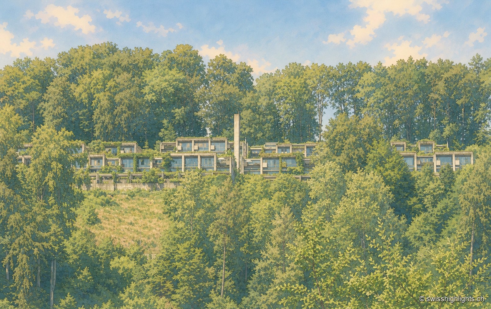
An aerial view of the Siedlung Halen: the flat-roofed row houses line up in terraces in the hollow of a densely wooded valley, almost hidden beneath the canopy.

Row-house estate · Bern

Halen

78 dwellings and 5 studios in three terraced rows, exposed concrete, gardens closed off by walls: Atelier 5's Siedlung Halen is listed as a cultural property of national significance.
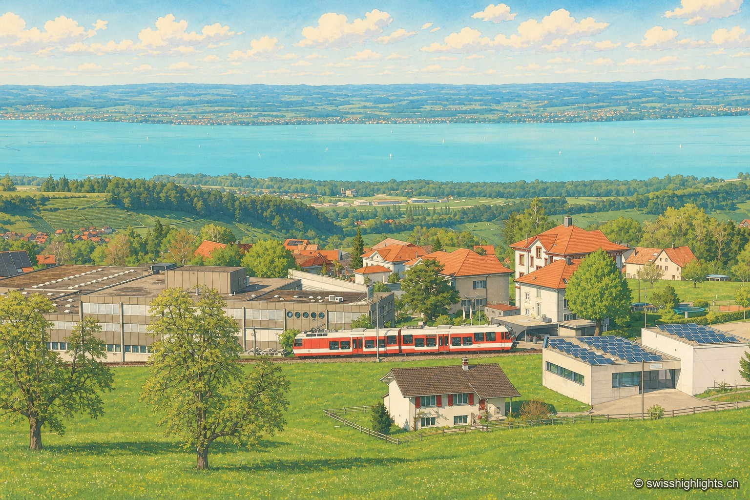
Elevated view of Heiden and Lake Constance: in the foreground the roofs of the town and a red rack railway train, then the blue waters of the lake, dotted with a few sailboats, stretching to the opposite shore.

Village · Appenzell Ausserrhoden

Heiden

A township of 4,383 inhabitants spread between 400 and 790 metres, a cure resort since 1848, linked to the lakeshore by a rack railway. Henri Dunant spent his last eighteen years here.
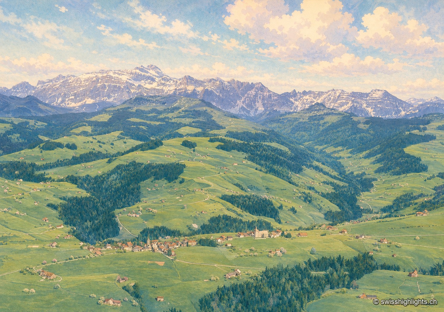
View of the lush green alpine pastures of Hemberg, dotted with isolated farms, with the snow-capped Säntis and Alpstein range rising on the horizon under a blue sky.

Mountain village · St Gallen

Hemberg

Made a parity village in 1526, Hemberg had Catholics and Protestants worship in the same building for two and a half centuries, until the two churches of 1779 and 1782. The place ranges from 709 to 1,139 metres.
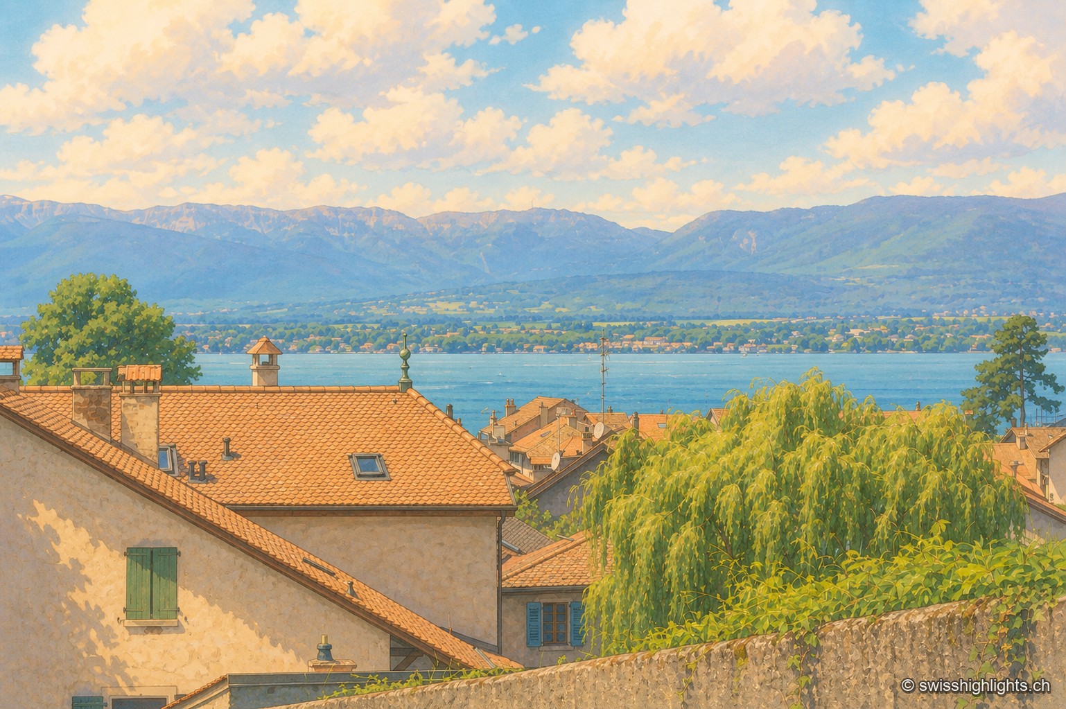
View from the heights of the town of Hermance, over tiled roofs and a weeping willow, with an antenna rising above neighboring roofs, toward calm Lake Geneva and the opposite shore lined with hills, under a clear sky.

Medieval town · Geneva

Hermance

A new town laid out by the lords of Faucigny, Hermance still has its ring wall, the round keep raised around 1337-1338 and a harbour of 159 berths. Savoyard until the Treaty of Turin of 1816, it covers just 1.44 km².
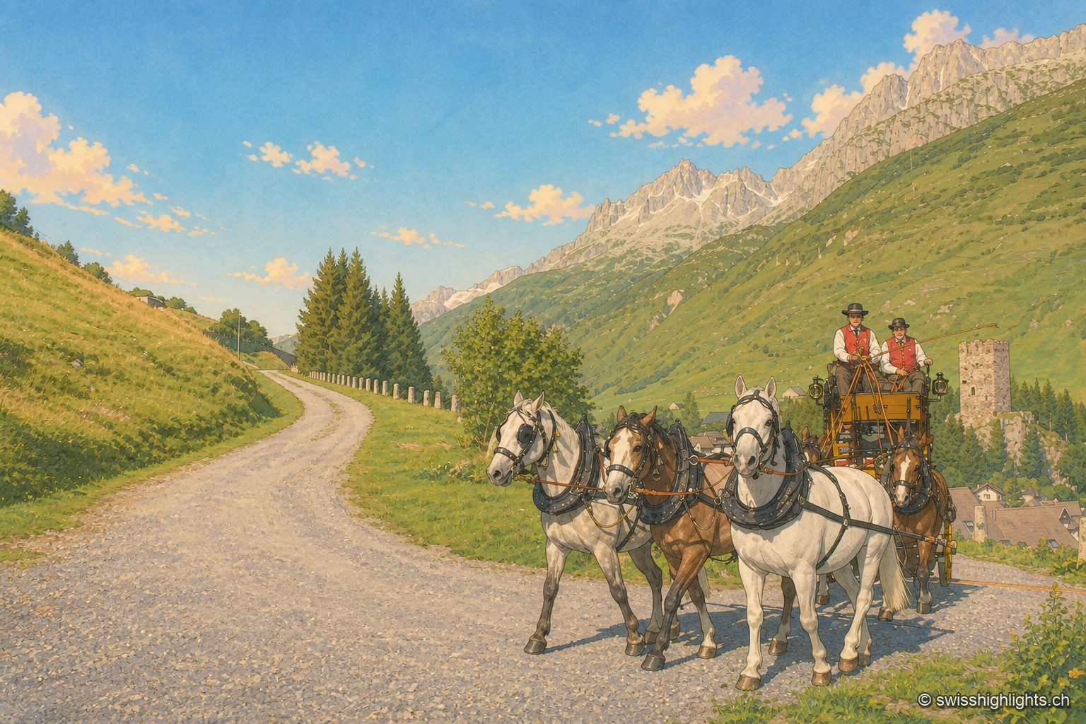
A team of five horses, three dappled grey and two bay, pulls a yellow-and-black stagecoach along a gravel road descending into the Urseren valley; two postilions in red waistcoats and black hats hold the reins. On the right, the ruined square tower of Hospental stands on a grassy knoll above the village rooftops; in the background, rocky ridges and snowfields close off the valley under a cloudless blue sky.

Gotthard village · Uri

Hospental

182 inhabitants, a 13th-century tower emptied of its floors, timber houses rebuilt after the fire of 1669: Hospental stands where two torrents meet to become the Reuss.
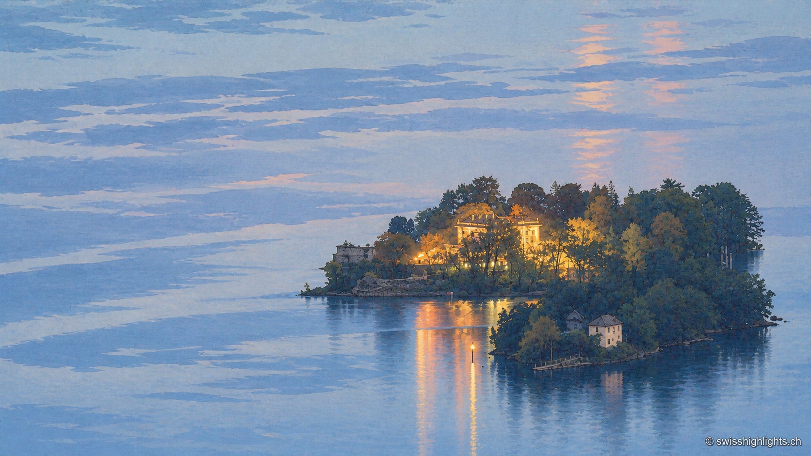
At blue hour, the small wooded island of Brissago stands out against calm Lake Maggiore: the lit windows of a villa pierce through the foliage, their golden reflections stretching across the water under a sky streaked with pink clouds.

Botanical islands · Ticino

Brissago Islands

San Pancrazio, the larger, carries a subtropical garden and is reached by boat. Sant'Apollinare, the smaller, stays closed and keeps the ruins of a Romanesque church. The canton of Ticino and five partners bought them in 1949.
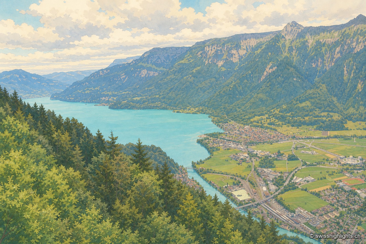
From a wooded ridge, the view plunges over the turquoise Lake Brienz, then over the Interlaken plain crossed by the river, before the steep mountain wall closes the horizon under a cloud-laden sky.

Town · Bernese Oberland

Interlaken

A municipality of 6,123 inhabitants on a flat tongue of land four kilometres wide between two lakes. Its Latin name dates only from 1891: before that it was Aarmühle, the mill on the Aare.
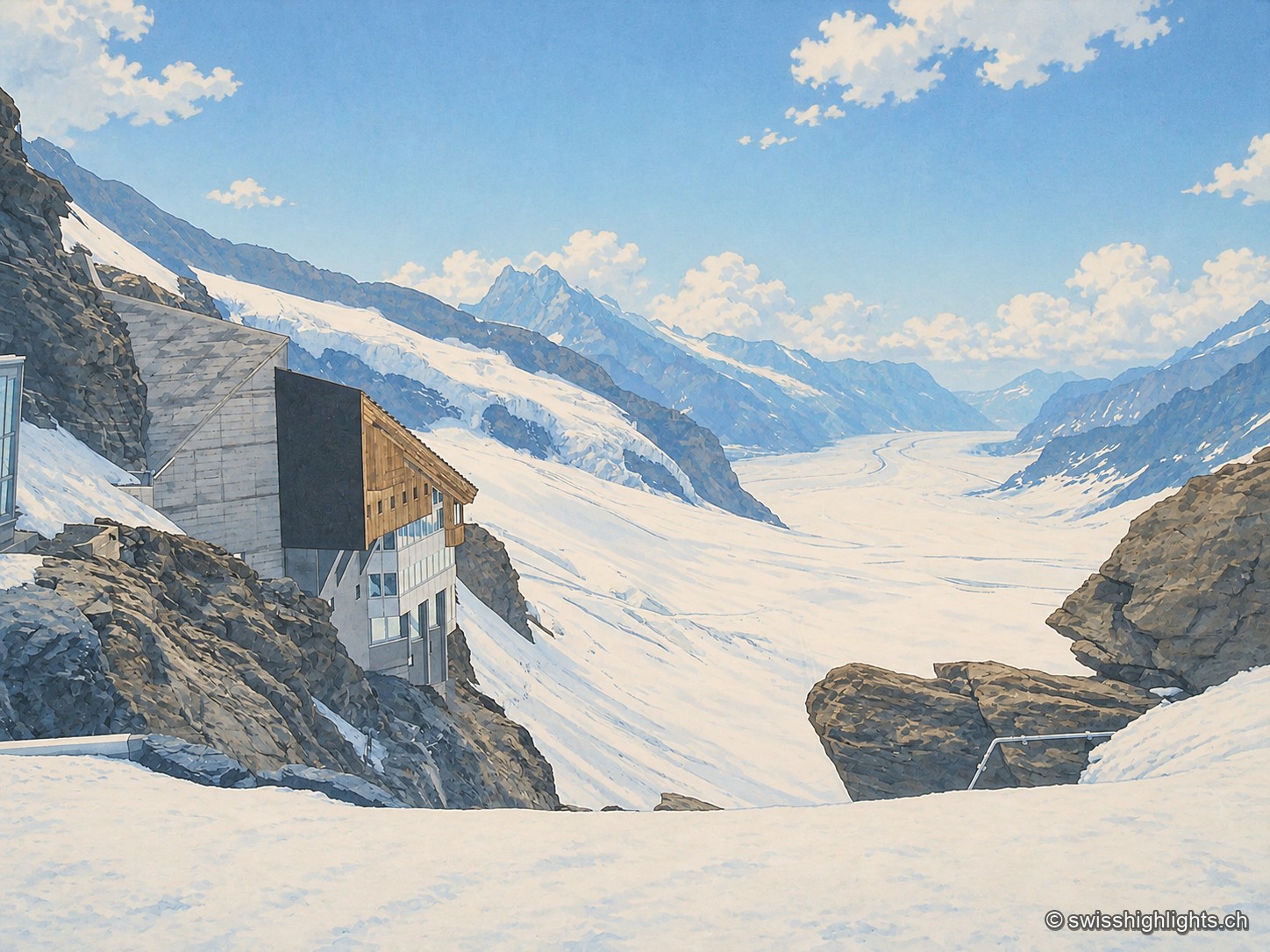
From the rocks of the Jungfraujoch, a building with concrete walls and wooden cladding, largely glazed, clings to the rock face; below stretches the long white flow of the Aletsch glacier, framed by snow-covered peaks, under a blue sky streaked with clouds.

Railway pass · Bernese Alps

Jungfraujoch

The line, proposed in 1893 by Adolf Guyer-Zeller and completed in 1912 after 7.1 km of tunnel under the Eiger and the Mönch, reaches 3,454 metres. The site drew more than a million visitors a year between 2017 and 2019.
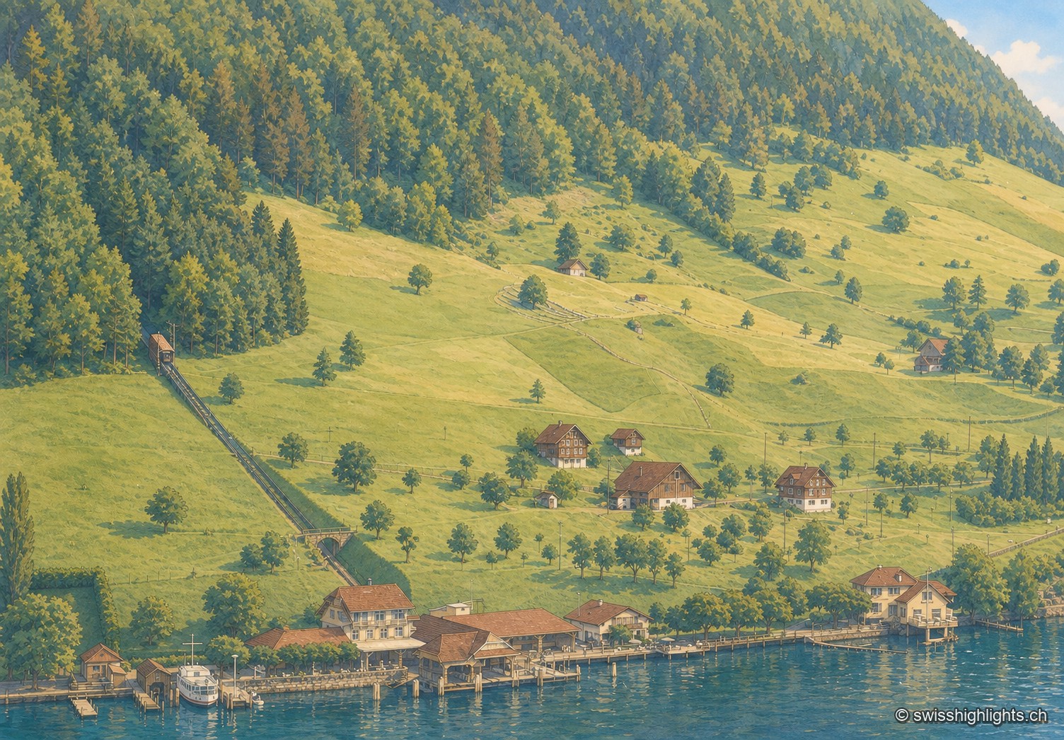
Oblique black-and-white aerial photograph, low light of late day: a steep wooded slope occupies the right half of the frame, an inclined track climbs it diagonally from the lake shore to the upper left. Below, a sloping meadow dotted with fruit trees descends toward a few isolated chalets, then toward a cluster of buildings by the water where a boat is moored to a jetty; the lake stretches out, calm, in the foreground.

Lakeside village · Nidwalden

Kehrsiten

The village, at 483 m and with its own postal code (6365), had several lakeside hotels in the 1950s — the Baumgarten, the Seeblick, the Wilhelm Tell — documented by ETH-Bibliothek aerial photographs.
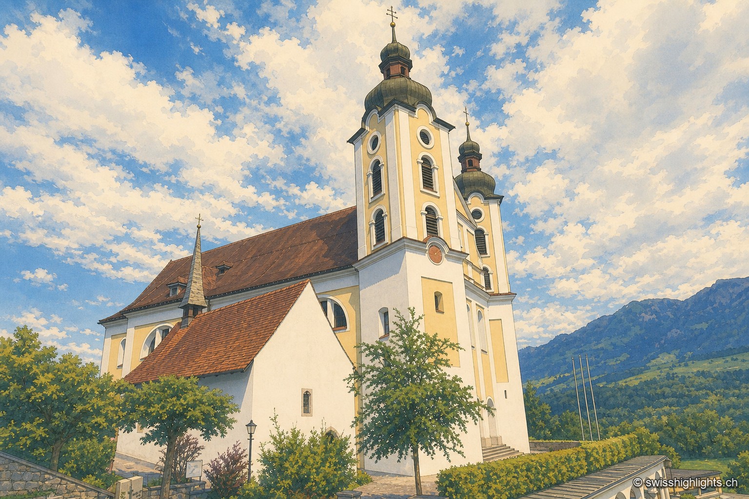
Low-angle view of the church of Saints Peter and Paul in Sarnen, in the Kirchhofen district: its two onion-domed towers stand out against a vast sky heavy with clouds, with an alpine peak visible in the background and a few village rooftops at the foot of the building.

Historic quarter · Obwalden

Kirchhofen

A mill first recorded in 1534 still turns here as a restaurant; Count Ulrich von Lenzburg had ceded his rights over Sarnen's church and over the "Unterer Hof" to Beromünster monastery, and that estate's name later gave the quarter its own.
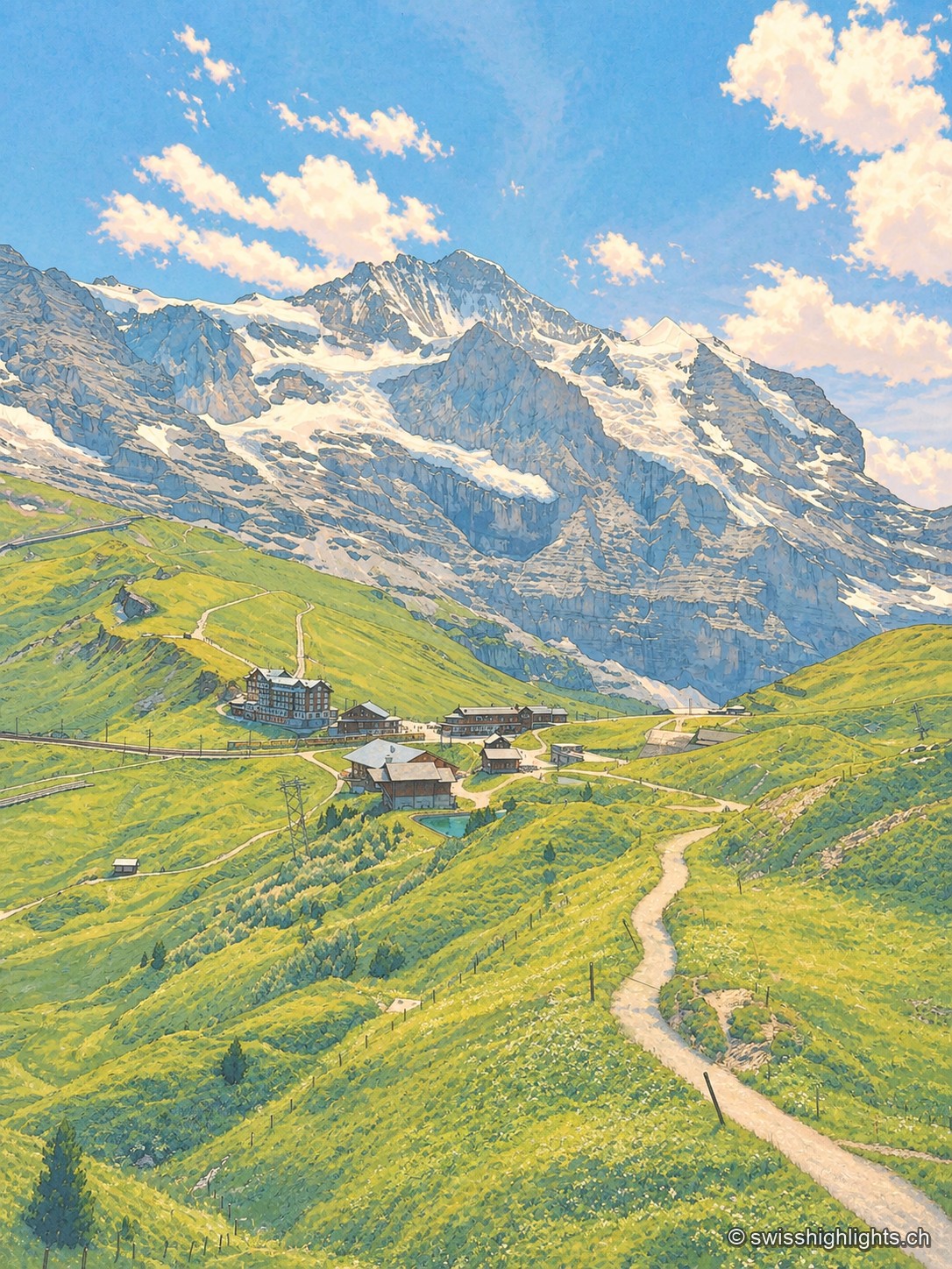
Portrait-format view from a trail on the Kleine Scheidegg: a path descends between green slopes toward mountain buildings and the railway line, facing the imposing north face of the Eiger dominating the horizon.

Railway pass · Bernese Oberland

Kleine Scheidegg

The pass divides only the two arms of the Lütschine, hence its name, the minor watershed. From it the Eiger at 3,967 metres, the Mönch at 4,110 and the Jungfrau at 4,158 appear at once. The first hotel was built here in 1840.
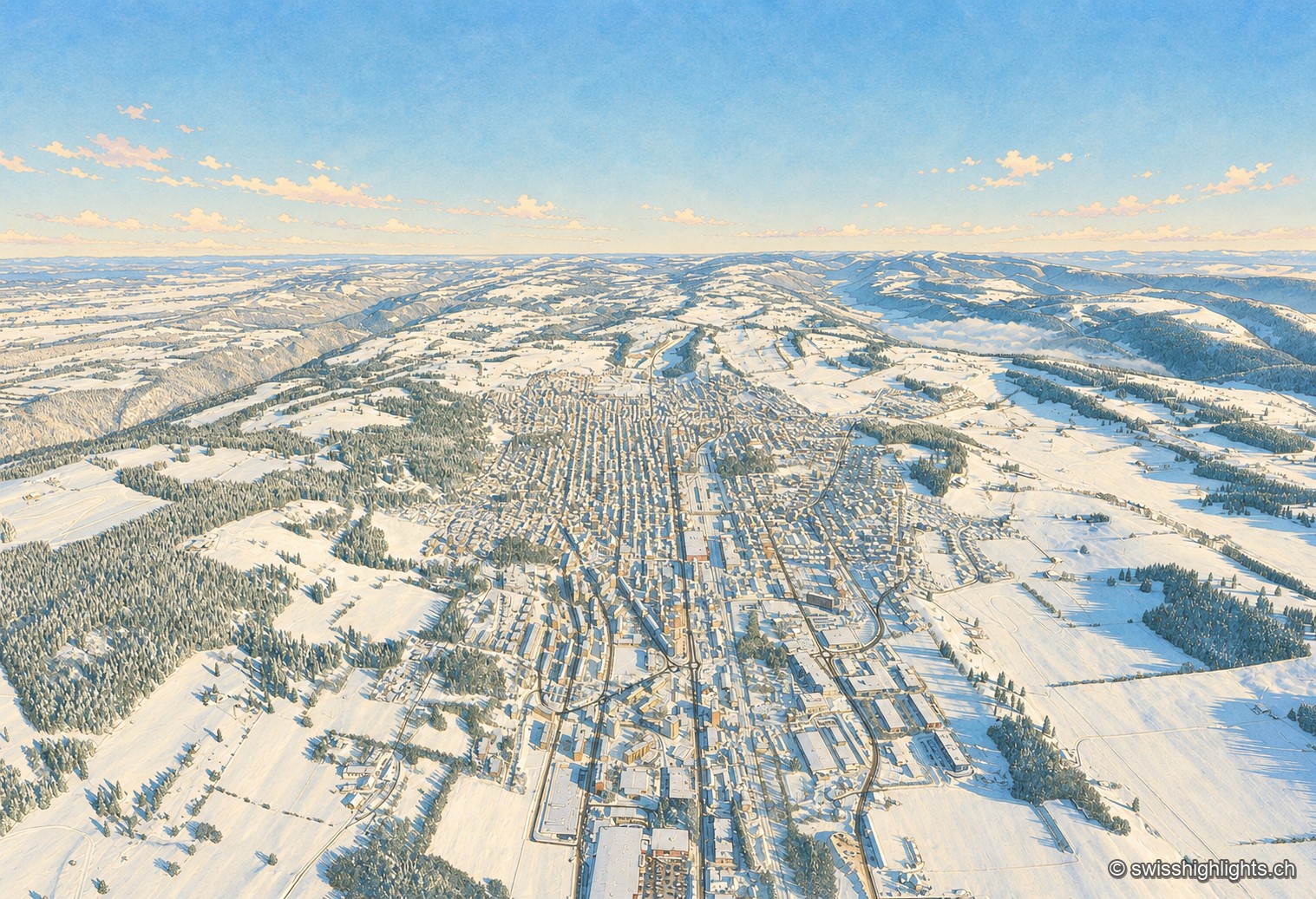
Winter aerial view of La Chaux-de-Fonds: under a deep blue sky, the town stretches its long parallel streets along the bottom of a snow-covered valley, the white roofs forming a regular grid between the pastures and fir forests of the Jura, the horizon closed off in the distance by a sea of fog.

Watchmaking town · Neuchâtel

La Chaux-de-Fonds

At close to 1,000 metres, in a valley with no surface water, the streets cross at right angles. The 2009 listing honours no monument but a plan: that of a town where workshop and dwelling shared the same building.
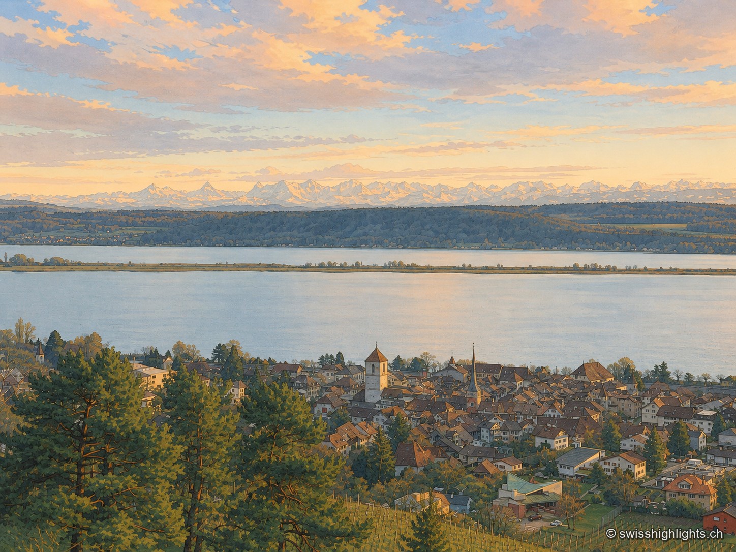
La Neuveville seen from above, from the vineyard, at dusk: the brown roofs of the old town and its two church towers huddle at the edge of Lake Biel, its pale water crossed by the Heidenweg dike; in the distance, under a pink and grey sky, the snow-capped Alps close the horizon. A large pine tree occupies the foreground on the left.

Medieval town · Lake Biel

La Neuveville

Cobbled streets, fountains and coloured shutters between water and vines. The Schlossberg holds the cliff above the roofs; outside the walls, the Blanche-Église keeps frescoes from the 14th and 15th centuries.
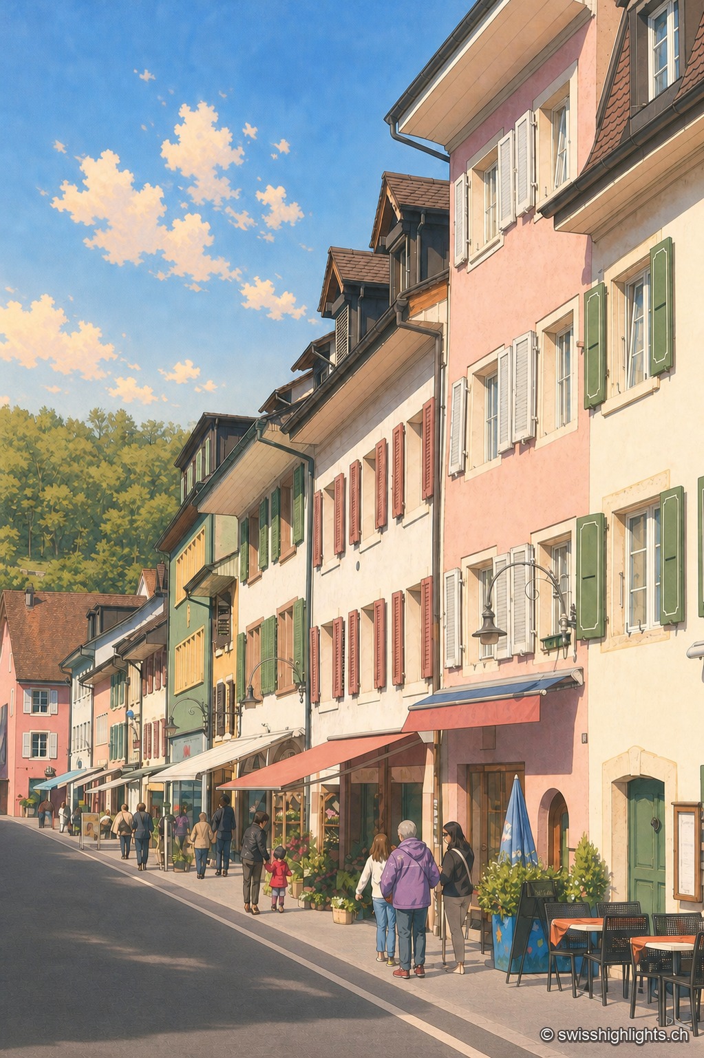
Asphalt-paved street of the town of Laufen in vertical perspective, lined with pastel-toned façades — pink, almond green, ochre — with shutters and signs; a few passers-by and café tables enliven the sidewalk under a blue sky with scattered clouds.

Town on the Birs · Basel-Landschaft

Laufen

After refusing in 1974 to join the canton of Jura, Laufen opted in 1994 for Basel-Landschaft; its main street, closed by two gates, is lined by the church of Sainte-Catherine, built from 1698.
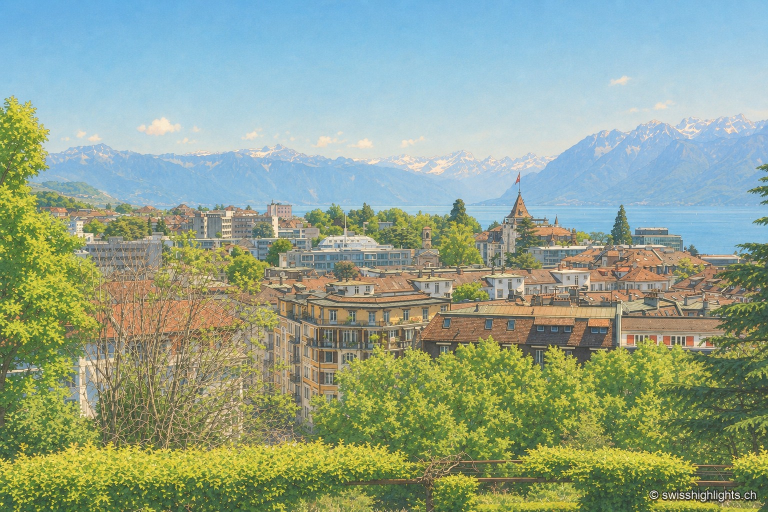
Overlooking view of Lausanne from the crêt de Montriond: the city's tiled roofs cascade downhill toward Lake Geneva, its shoreline glittering in the distance before the Alps, under a clear sky.

City on a slope · Lake Geneva

Lausanne

Built on three hills above Lake Geneva, Lausanne climbs without pause. Its cathedral, raised between 1170 and 1230, is the most important Gothic one in Switzerland, and the International Olympic Committee has sat here since 1915.
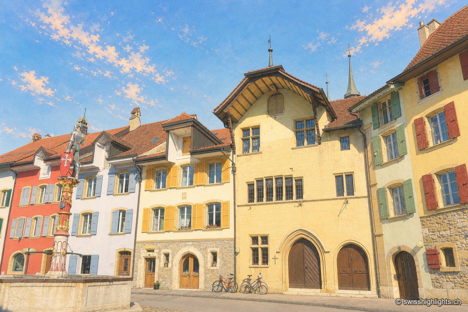
Cobbled street of the town of Le Landeron under a deep blue sky: on the left a red and white heraldic fountain set against a white façade, then a row of pastel-toned houses — yellow, ochre, almond green — up to the Town Hall with its overhanging gable and gothic arched doors, against which several bicycles are leaning.

Fortified town · Neuchâtel

Le Landeron

Catholic while the whole county of Neuchâtel turned Protestant between 1530 and 1562, Le Landeron owed its confessional enclave and its fortified town to the backing of its allies from Solothurn, bound by treaty since 1449.
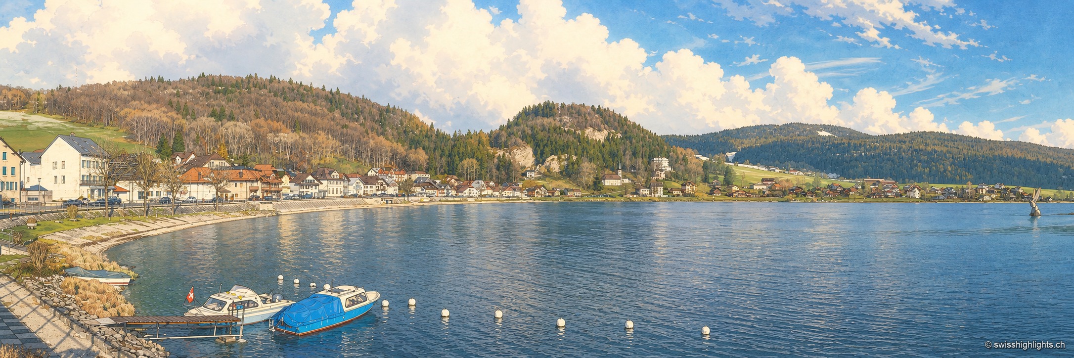
Panorama of the hamlet of Le Pont from the shore, at the northern end of Lac de Joux: a row of white and brown houses lines the pebbly shore, two boats moored to buoys in the foreground, a wooded hill and then a bare summit close off the horizon under a blue sky with scattered clouds.

Hamlet on Lac de Joux · Vaud

Le Pont

On an estate once named Champ du Port, a bridge built in the 17th century by Le Lieu and Le Chenit gave the hamlet its name. The railway brought French families; the Grand Hôtel rose in 1900-1901.
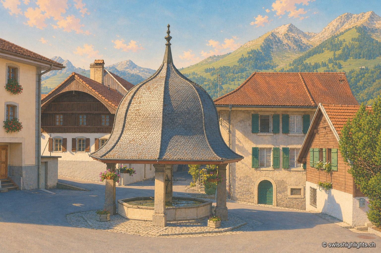
The village fountain of Lessoc, topped by a broad, bell-shaped shingle roof supported by four stone pillars, stands on the paved square in front of houses with green shutters and flower boxes; in the background, the Fribourg Prealps stand out under an evening sky streaked with pink clouds.

Gruyère village · Fribourg

Lessoc

Recorded from 1115, Lessoc broke away from the parish of Grandvillard only in 1643. Its church and its octagonal fountain of 1796 are built of the grey-white limestone veined with green quarried on the spot, the Lessoc 'marble'.
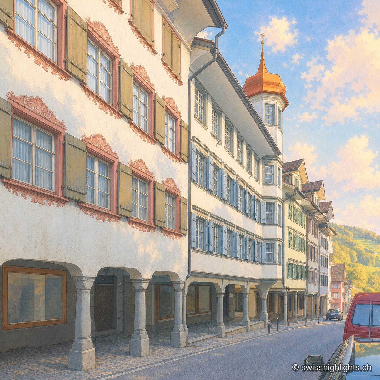
The Hauptgasse in Lichtensteig at the end of the day, in raking golden light: painted facades with colourful shutters and arcades on stone pillars in the foreground; in the centre, a golden onion-domed tower with a red conical roof crowns the former district building (Bezirksgebäude); the cobbled street descends toward more old houses.

Medieval small town · St Gallen

Lichtensteig

Recorded in 1228, the town gained charters of liberties from 1400. The county passed to the Abbey of St Gallen in 1468, which stationed its reeve there until 1798. Wakker Prize 2023, it joined Switzerland's Most Beautiful Villages in 2016.
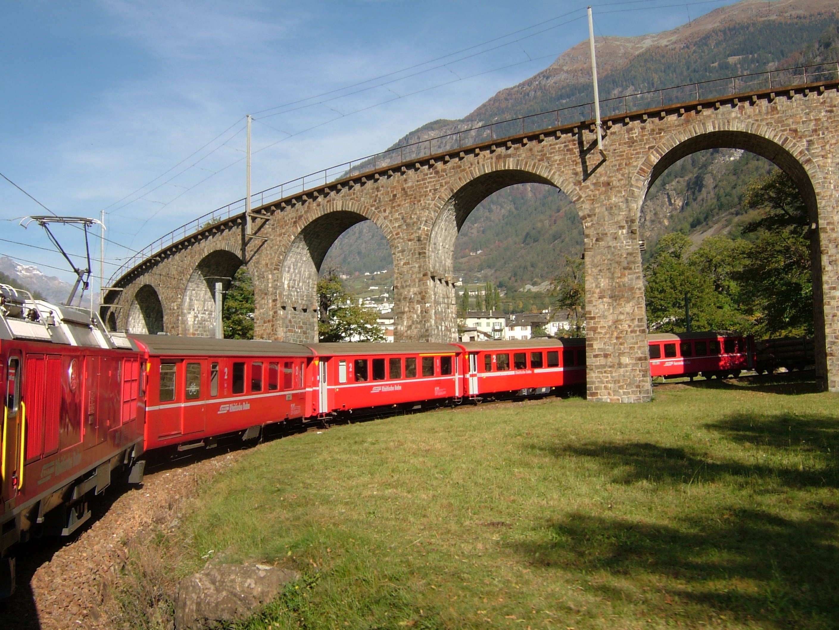
A red Rhaetian Railway train, seen from above, negotiates the loop of the Brusio spiral viaduct: the superimposed stone arches carry the track on two levels between green meadows and groves with golden autumn foliage.

Graubünden · UNESCO World Heritage

Bernina Railway

From St. Moritz to Tirano, 60.688 metre-gauge kilometres cross the Bernina Pass at 2,253 metres. No rack rail: adhesion alone, on gradients reaching 7%.
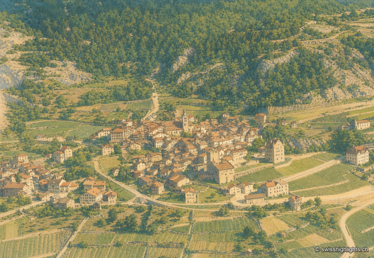
Colorized historical aerial view of Leuk: the town occupies a wooded promontory, its brown-roofed houses and pointed church spire clustered around a square turreted fortified house, between terraced vineyards and a coniferous slope; a winding road crosses the village in the foreground.

Medieval town · Upper Valais

Leuk

Recorded in 515, Leuk keeps its bishop's castle, its Gothic church and its charnel house. Its 55.36 km² municipality holds both banks of the Rhône and takes in the Finges pine forest and the Illgraben fan.
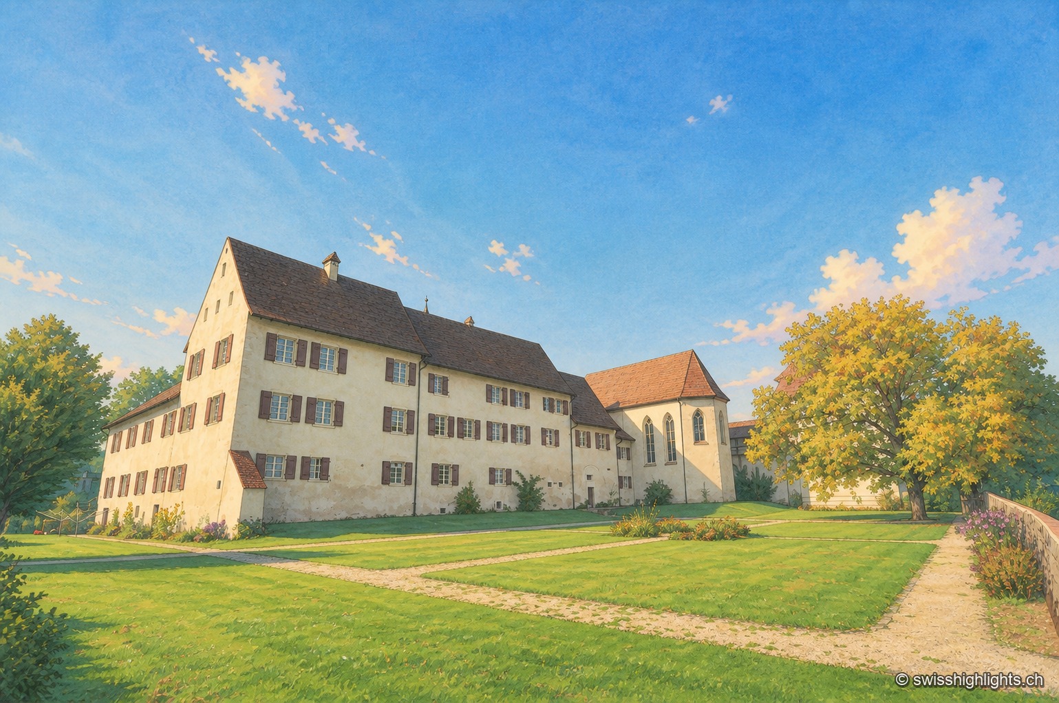
Slightly elevated view of the fortified Löwenburg estate: a long whitewashed building with a brown tiled roof, pierced by rows of shuttered windows, extends toward a chapel with buttresses and a corner turret; a lawn crossed by a gravel path draws the eye toward the ensemble, under a clear blue sky, with a few trees on the right of the frame.

Hamlet and ruin · Jura

Löwenburg

The hamlet of Löwenburg, the only German-speaking part of the commune of Pleigne, combines a castle ruin founded in the 10th century with a 16th-century fortified farm; the Christoph Merian Foundation of Basel has restored it since 1956.
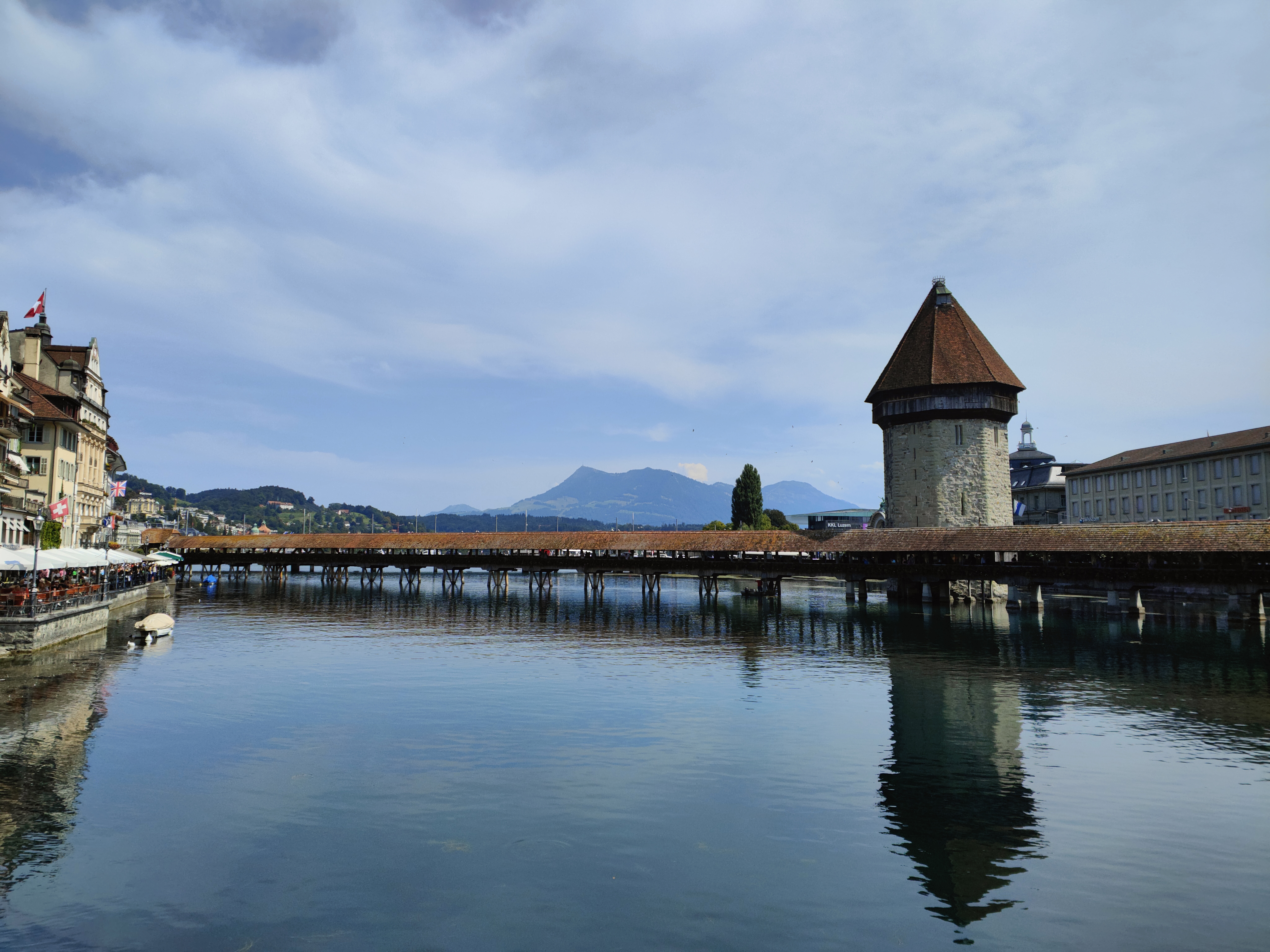
The Chapel Bridge and its octagonal water tower span the Reuss at dusk; the lights of Lucerne's old town, with its snow-covered roofs, reflect in the calm water under a blue winter sky.

Old town and covered bridge · Lucerne

Lucerne, old town and Kapellbrücke

It joined the Confederation in 1332, before any other town; along the Reuss, Lucerne lines up a wooden bridge of 1333, an octagonal water tower older than the bridge, and 870 metres of curtain wall with nine towers.
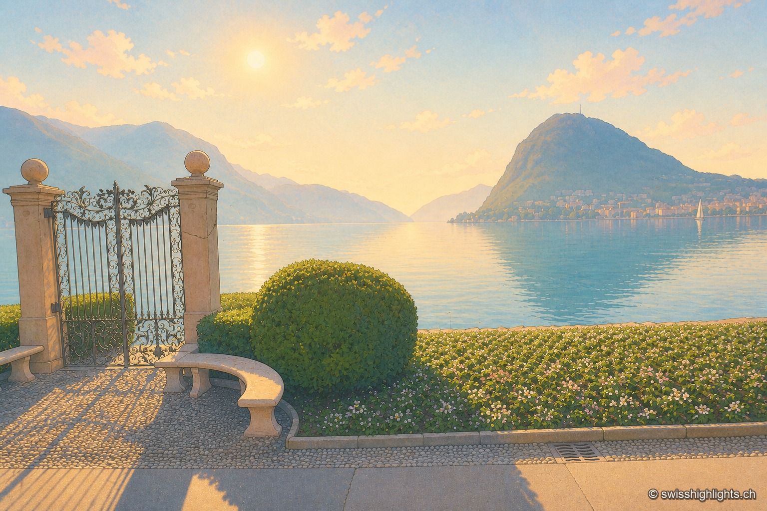
Wrought-iron gate open onto the shore of Lake Lugano, shot against the light, the low sun blazing between the two stone pillars; in the distance, the bluish silhouette of Monte San Salvatore dominates the town and the calm lake water reflecting the light.

Lakeside city · Ticino

Lugano

The country's third financial centre, Lugano hosted the first Eurovision Song Contest in 1956 and has, since the mergers of 2004, 2008 and 2013, an agglomeration of about 150,000 inhabitants on the shore of Lake Lugano.
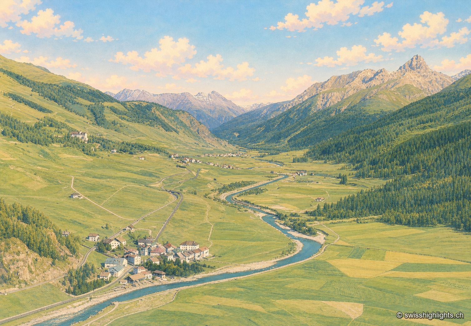
Colorized historical aerial view of the Engadine valley at Madulain: the village lines the Inn river as it winds between meadows, overlooked by wooded slopes and a chain of rocky peaks under a summer sky.

Village · Upper Engadine, Grisons

Madulain

First recorded in 1137-1139 as Madulene, the village is overlooked by the ruins of Guardaval Castle, built in 1251 for the Bishop of Chur. Madulain joined the Les Plus Beaux Villages de Suisse association in 2018.
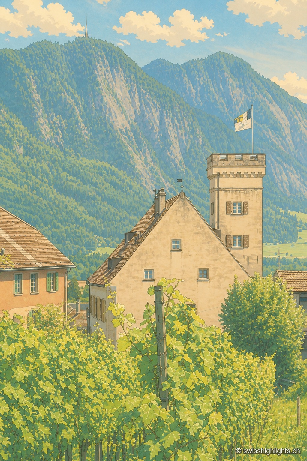
The tower house of Malans, a former fortified dwelling with battlements, rises amid terraced vineyards; in the background, the wooded slope of the Fläscherberg overlooks the valley under a summer sky.

Wine village · Grisons

Malans

The village centre and Bothmar Castle, whose central wing dates from the 16th century, are cultural properties of national significance. The Gothic church of 1469 received rococo stuccowork in 1773; the town hall keeps a council room from 1685.
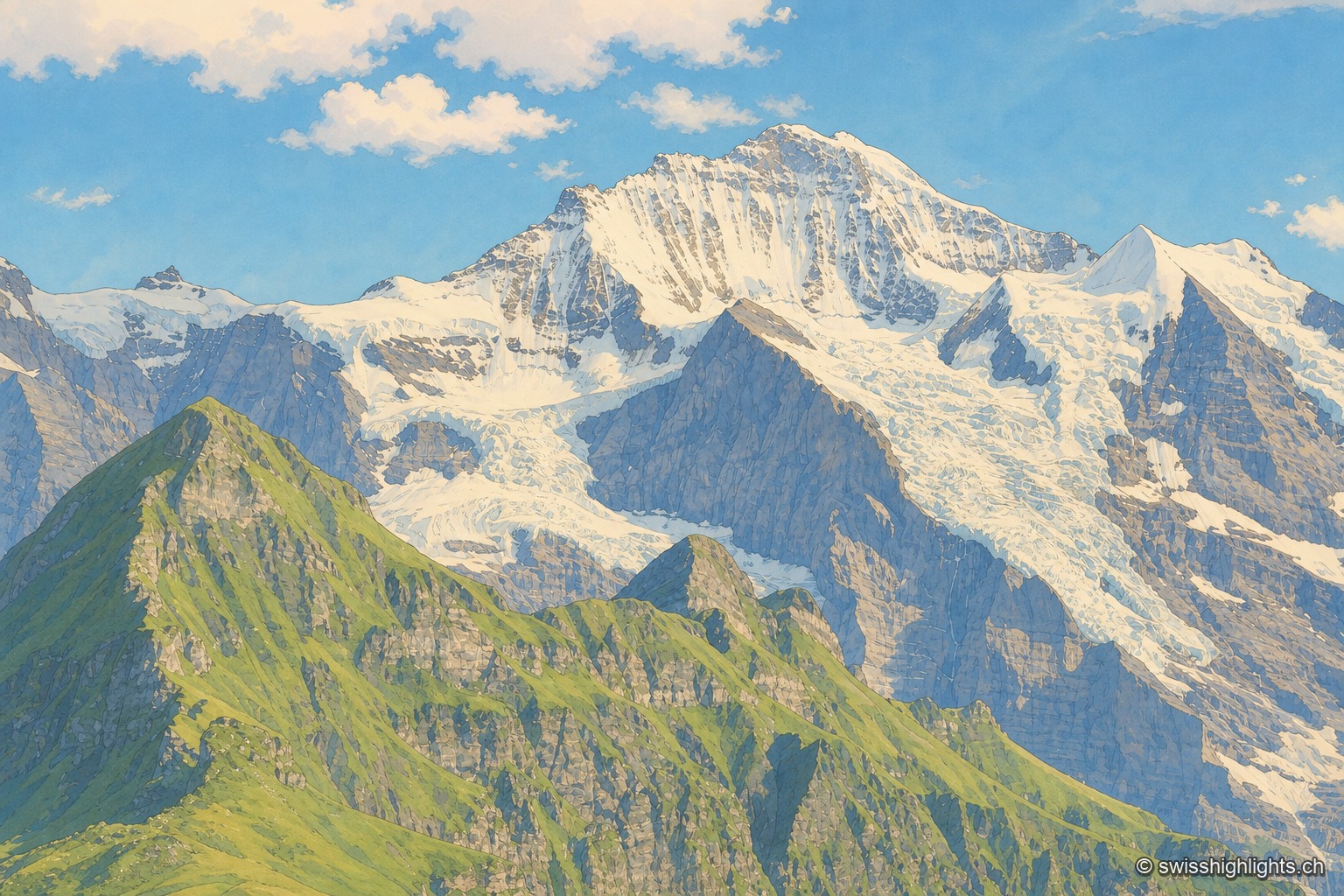
The Jungfrau massif seen from a neighboring peak: in the foreground, a green grassy ridge stands out against the rocky and glaciated wall, streaked with snowfields and hanging glaciers descending from the ridges; to the right, a darker rocky peak is outlined against a blue sky dotted with large white clouds.

Summit · Bernese Alps

Jungfrau

The mountain overlooks Lauterbrunnen, Grindelwald and Lake Thun. Since 1912 a rack railway has climbed to the Jungfraujoch, above 3,400 metres. The Jungfrau-Aletsch site has been a World Heritage property since 2001.
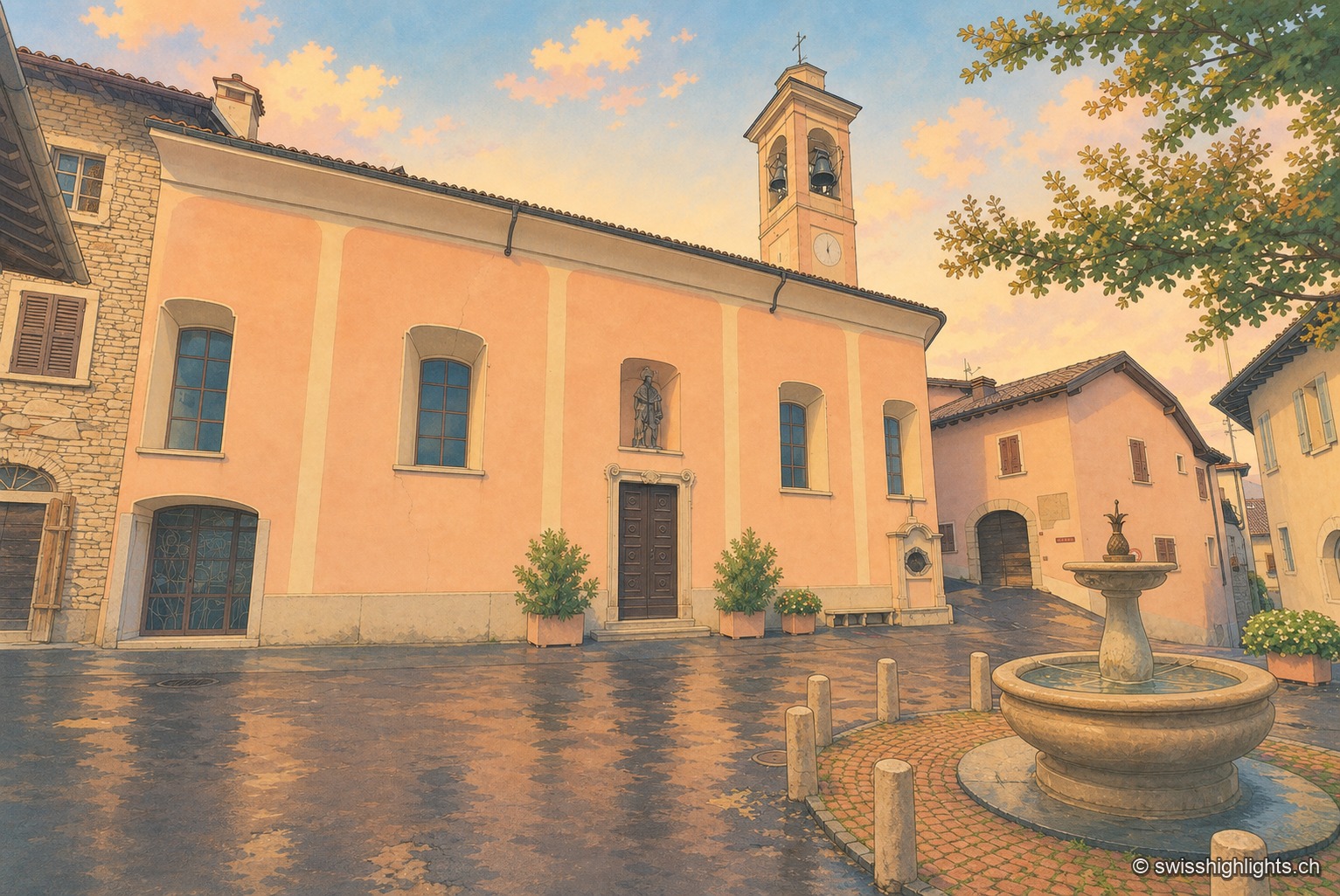
The ochre façade of the village church of Meride, flanked by its bell tower with an onion-domed steeple and a statue in a niche above the portal; on the wet paved square reflecting an end-of-day sky, a stone fountain and flower pots stand before the entrance, a tree on the right.

Village · Ticino

Meride

Recorded as early as 852, Meride long lived off the departure of its stucco workers and painters for northern Europe. Its land runs up to the summit of Monte San Giorgio, World Heritage listed in 2003 for its fossils.
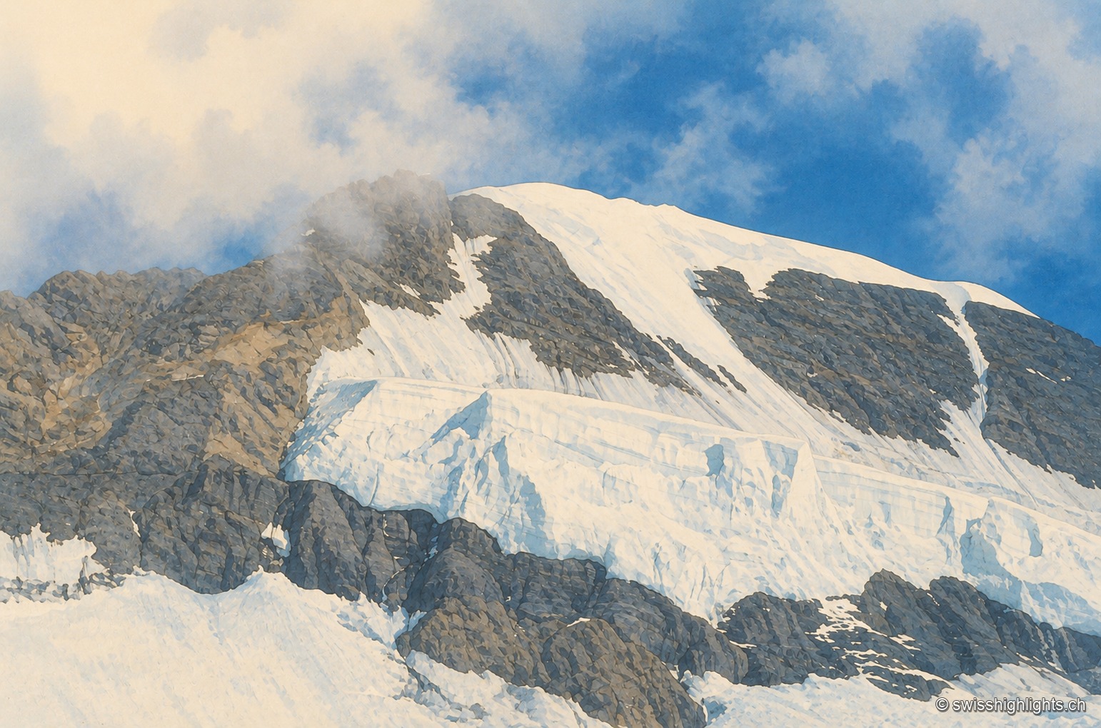
Close-up of the summit ridge of the Mönch: snow and crevassed ice cover the rock face, a plume of cloud brushes the ridge under a blue sky.

Bernese Alps summit · 4,110 m

Mönch

Middle link of the Eiger–Mönch–Jungfrau chain, it reaches 4,110 metres. Its south face rests on the Jungfraufirn, a tongue of the Aletsch glacier; its name is thought to come from a horse pasture, not from a monk.
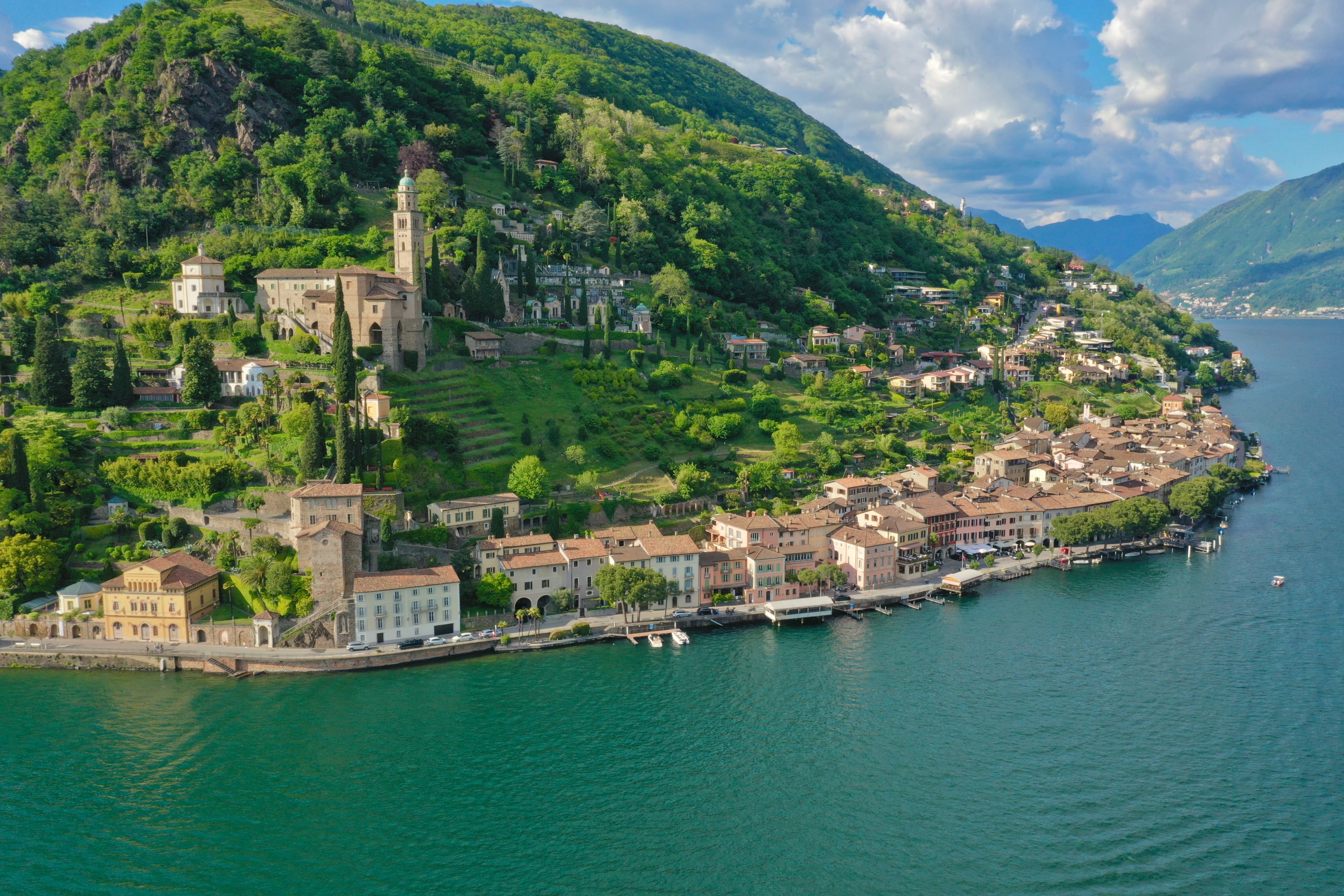
An aerial view of Morcote: the houses lined up along the shore of Lake Lugano, the church of Santa Maria del Sasso and its bell tower on the wooded slope above the village.

Ticino · Lake Lugano

Morcote

Morcote is strung along the shore of Lake Lugano, facing Italy. Above the roofs stands the church of Santa Maria del Sasso; between them, a stairway of 404 steps and a cemetery of 1750.
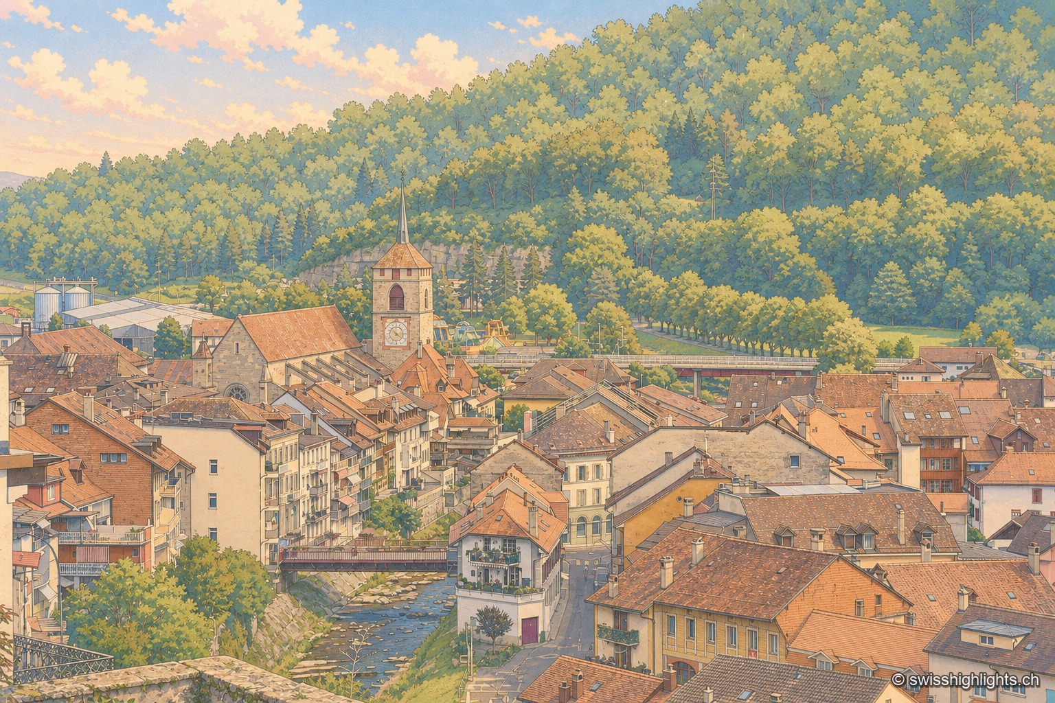
High-angle view over the old town of Moudon from the heights of the castle: the pointed spire of the Church of Saint-Étienne rises above the brown-tiled roofs of the medieval town, nestled against a wooded hillside; in the foreground on the left, a section of castle wall and a wrought-iron railing; below, the Broye river runs alongside the lower town with its more recent buildings, spanned by a road bridge.

Fortified town on the Broye · Vaud

Moudon

Amadeus I of Geneva built a castrum here around 1127; the Savoys installed the Vaud bailiwick around 1260. Under Bern from 1536, the town keeps its medieval old quarter, now an ISOS heritage site, above the river.
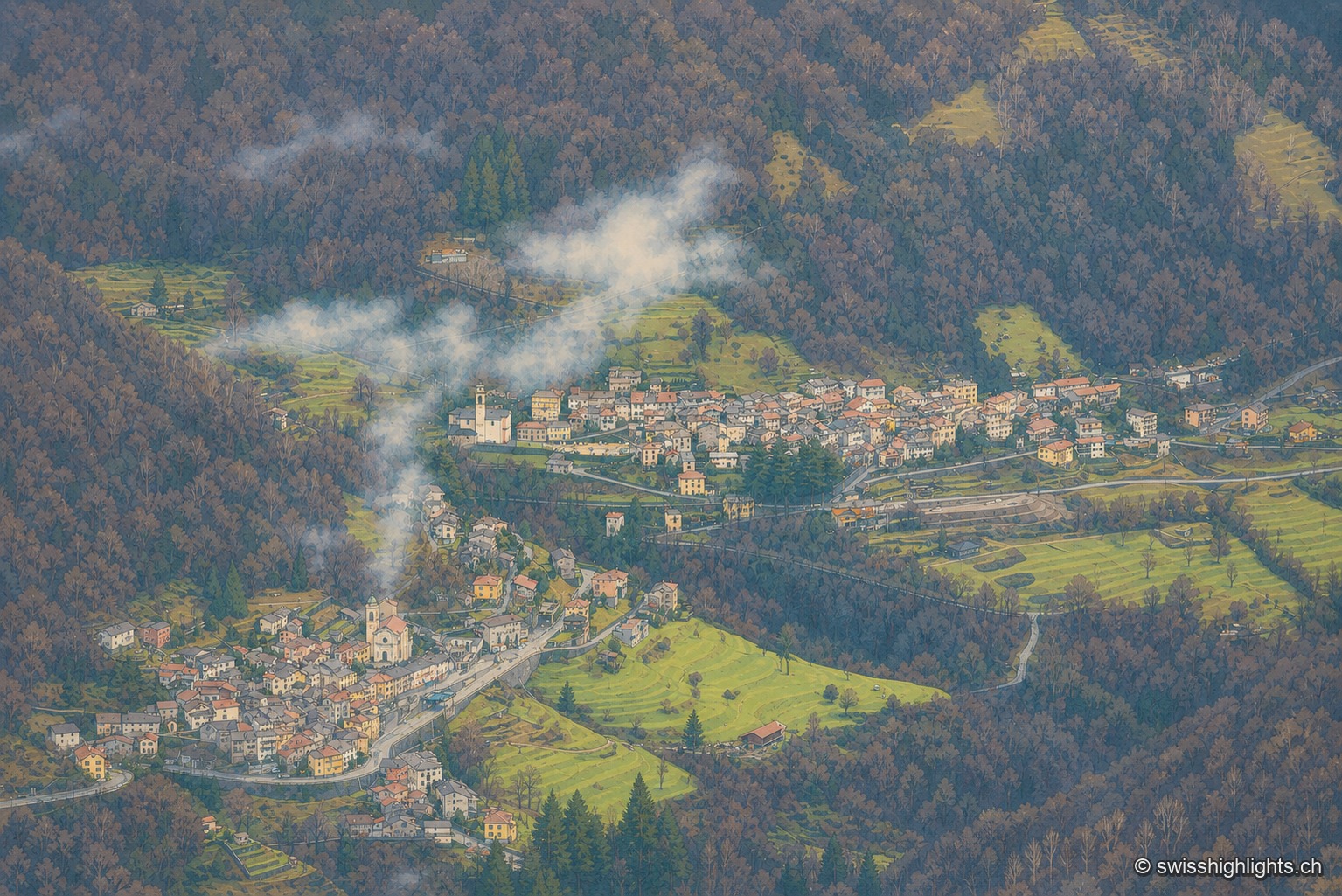
The Valle di Muggio seen from above, from the slopes of Monte Generoso: two villages with tightly packed roofs are terraced one above the other on the valley's flank, their church towers to the fore, surrounded by flat patches of green meadows and terraces; wisps of mist rise from the reddish late-autumn woods covering the rest of the slopes, and the raking light picks out the pale façades against the dark hillside.

Village · Valle di Muggio, Ticino

Muggio

Recorded in 852, it gave its name to the Valle di Muggio. In the fifteenth century its craftsmen cut the long oars of the Duchy of Milan's fleet; its church of San Lorenzo was rebuilt in 1760.
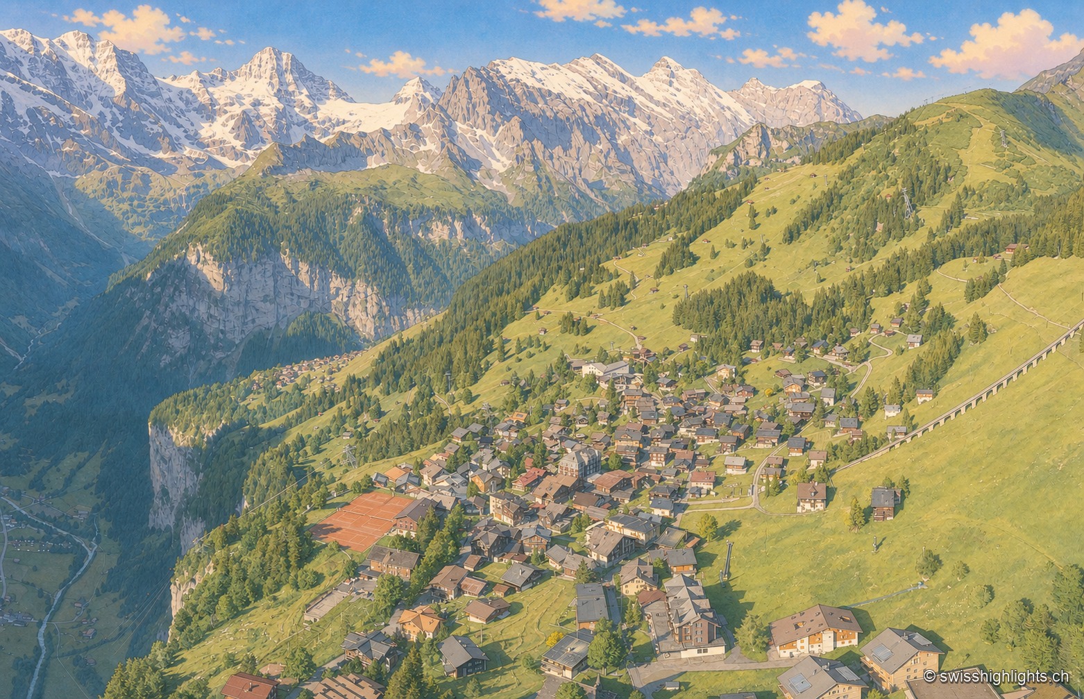
An aerial view of the village of Mürren, its chalets scattered across a wide grassy terrace overlooking the deep, wooded Lauterbrunnen valley, facing a range of snow-capped peaks under a sky streaked with golden clouds.

Car-free village · Bernese Alps

Mürren

Overlooked by the Schilthorn (2,970 m), Mürren was one of the Alps' earliest homes of alpine skiing: the Downhill Only Club forged the discipline there, and Arnold Lunn invented the slalom in 1922. Reachable only by cable car and train.
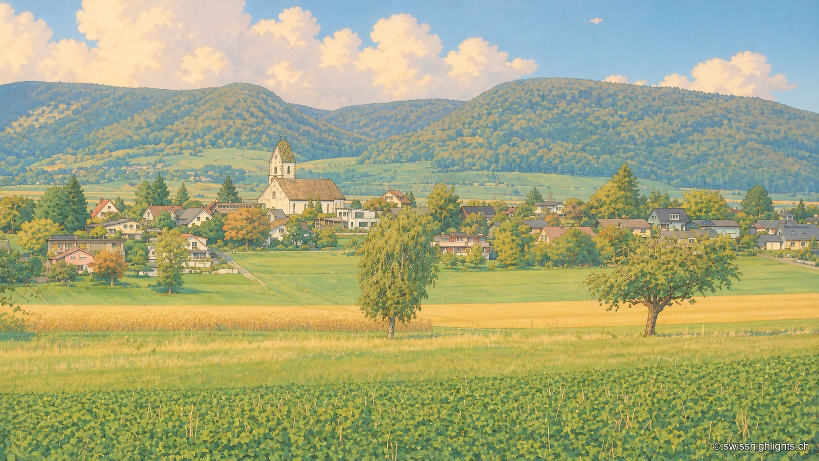
The village of Neunkirch nestled between wheat fields and orchards, its golden onion-domed bell tower rising above the rooftops, backed by wooded hills under a summer sky dotted with large clouds.

Planned small town · Schaffhausen

Neunkirch

Destroyed and then rebuilt in one go, it has kept its rectangle of four parallel streets. Long held by the bishops of Constance, it was sold to Schaffhausen in 1525 for 8,500 guilders.
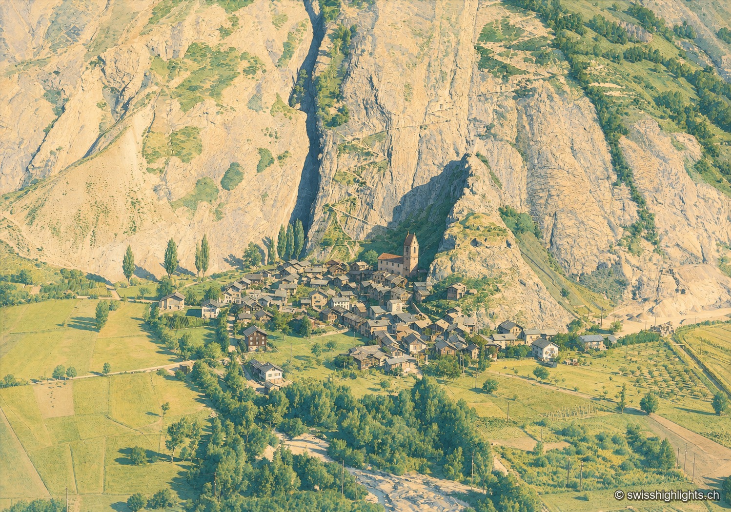
The village of Niedergesteln nestled at the foot of an immense rock face streaked with gullies, its pointed bell tower rising above the grey rooftops amid the meadows and orchards of the Rhone valley, in a soft historic tone.

Valais village · Western Raron

Niedergesteln

The name comes from the Latin castellum: a stone castrum once guarded the old road on the right bank. The Valais tithings destroyed the castle in 1384; the community bought back its rights in 1790.
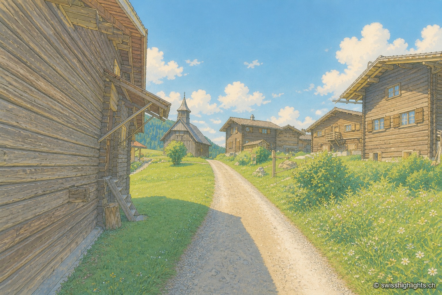
A sloping lane seen in a straight vista between two rows of dark brown wooden houses with open shutters, leading to a small wooden church topped with a pointed steeple, under a cloudless blue sky.

Walser hamlet · Grisons

Obermutten

Part of Thusis since 2017, Obermutten sits at 1,864 metres on the slope of the Muttnerhorn. A fire destroyed seventeen houses there in 1946; the hamlet later gained unexpected social-media fame in 2011.
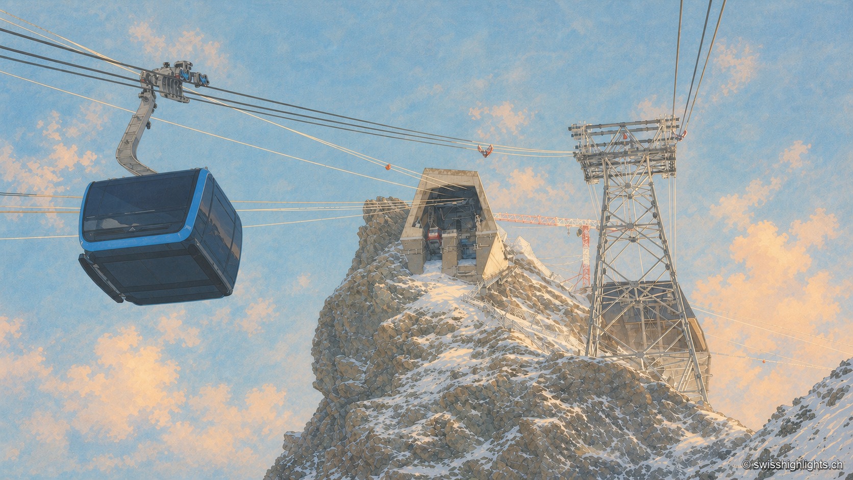
Under a deep blue winter sky, a dark cable-car cabin glides through the left half of the frame, suspended from its cables; at the center, the concrete summit station is set into the snow-covered rocky ridge of the Klein Matterhorn, and a steel pylon stands to the right, amid snow whipped up by the wind.

Summit · Valais

Klein Matterhorn

Surveys give it as 3,882 or 3,883 metres, a little over a kilometre from the Italian border. Its north face carries a cable-car station at 3,820 metres, from which a 160-metre tunnel runs through the mountain.
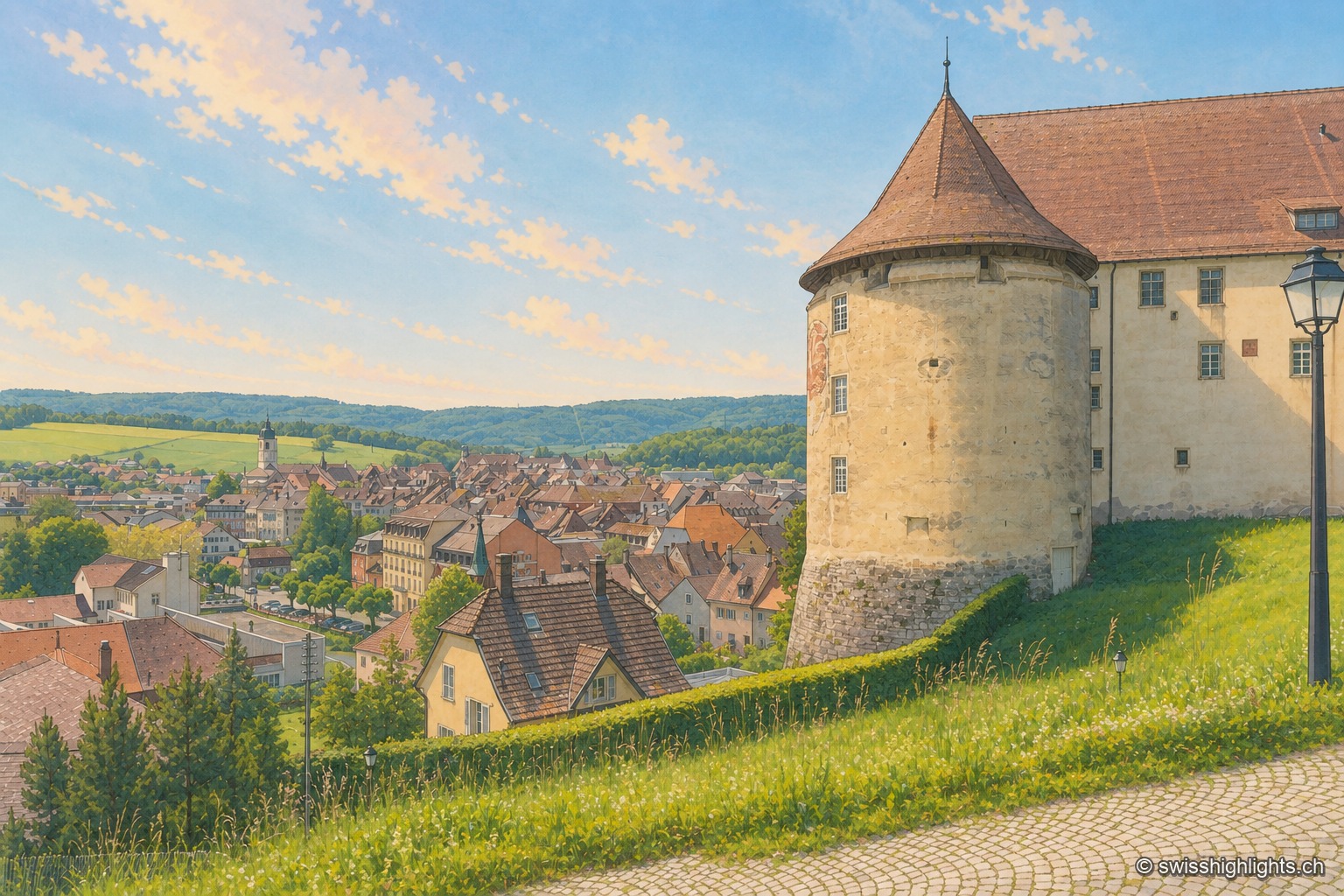
From the castle terrace, the large round tower with a conical roof occupies the right of the frame, against the long whitewashed building; below spread the brown and red roofs of the old town of Porrentruy, the light-colored church steeple, and behind them the wooded hills of the Jura under a pale blue summer sky.

Town · Ajoie, canton of Jura

Porrentruy

Driven from Basel by the Reformation, the prince-bishops settled in Porrentruy after 1528; their supposedly provisional residence lasted until 1828. Castle, Jesuit college, hôtel-Dieu and stone fountains still hold its measure.
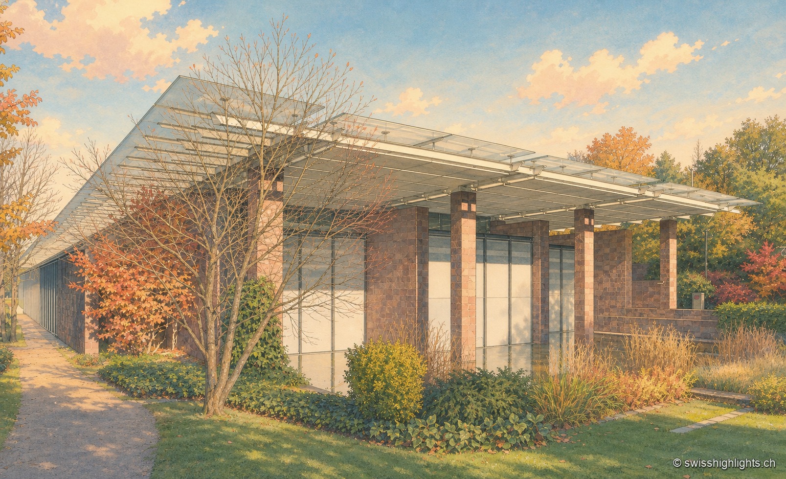
The Fondation Beyeler in Riehen: a long pavilion with reddish stone pillars, topped by a suspended glass roof, extends behind a garden of trees in autumn colours.

Border commune · Basel-Stadt

Riehen

22,534 inhabitants on 10.86 km², a quarter woodland and a quarter farmland, a German border curling around it to the north: Riehen is as much a large village as a suburb of Basel.
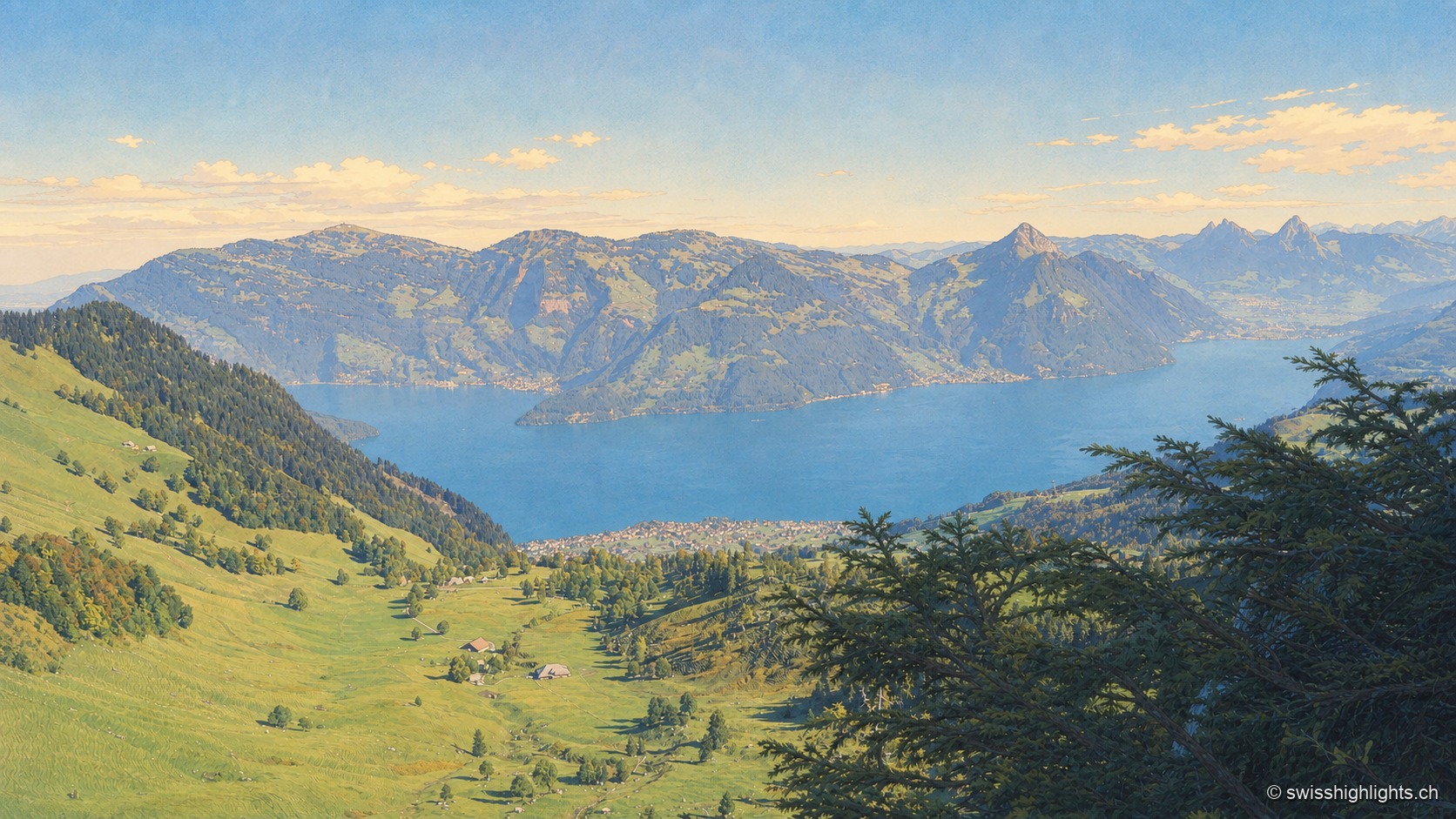
From an overlooking alpine pasture, the view extends over Lake Lucerne, surrounded by wooded ridges and bluish peaks on the horizon; in the foreground, sloping pastures and the branch of a conifer frame the scene.

Mountain · Schwyz and Lucerne

Rigi

Rigi Kulm stands at 1,797 metres above Lake Lucerne, Lake Zug and Lake Lauerz. The name comes from the bands of rock and grass that ring the summit; the rack railway has climbed it since 1871, the first in Europe.
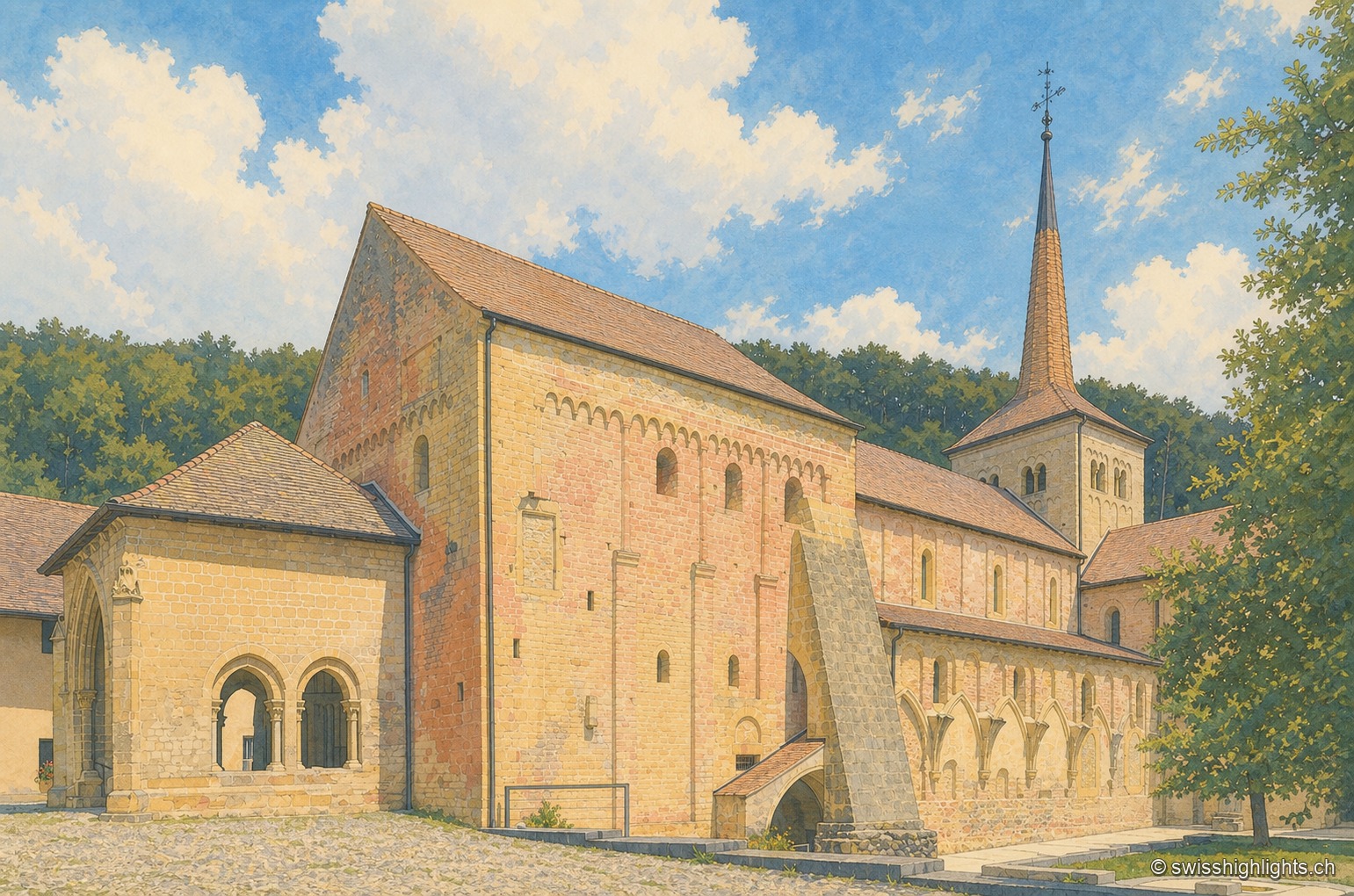
The former abbey church of Romainmôtier seen from the southwest on a summer afternoon: the tall gable of golden stone, marked by a frieze of blind arcades, is buttressed by a long slanting support; behind it stand the low nave, the gallery of Gothic arches and the square bell tower with twin bays topped by a slate spire, against a blue sky filled with large white clouds and a wooded hill.

Cluniac village · Vaud

Romainmôtier

The former abbey church of Saint Peter and Paul towers over a few sloping streets in the bottom of the Nozon valley. Handed to Cluny around 929, the Romanesque church is now a Reformed temple and a cultural property of national importance.
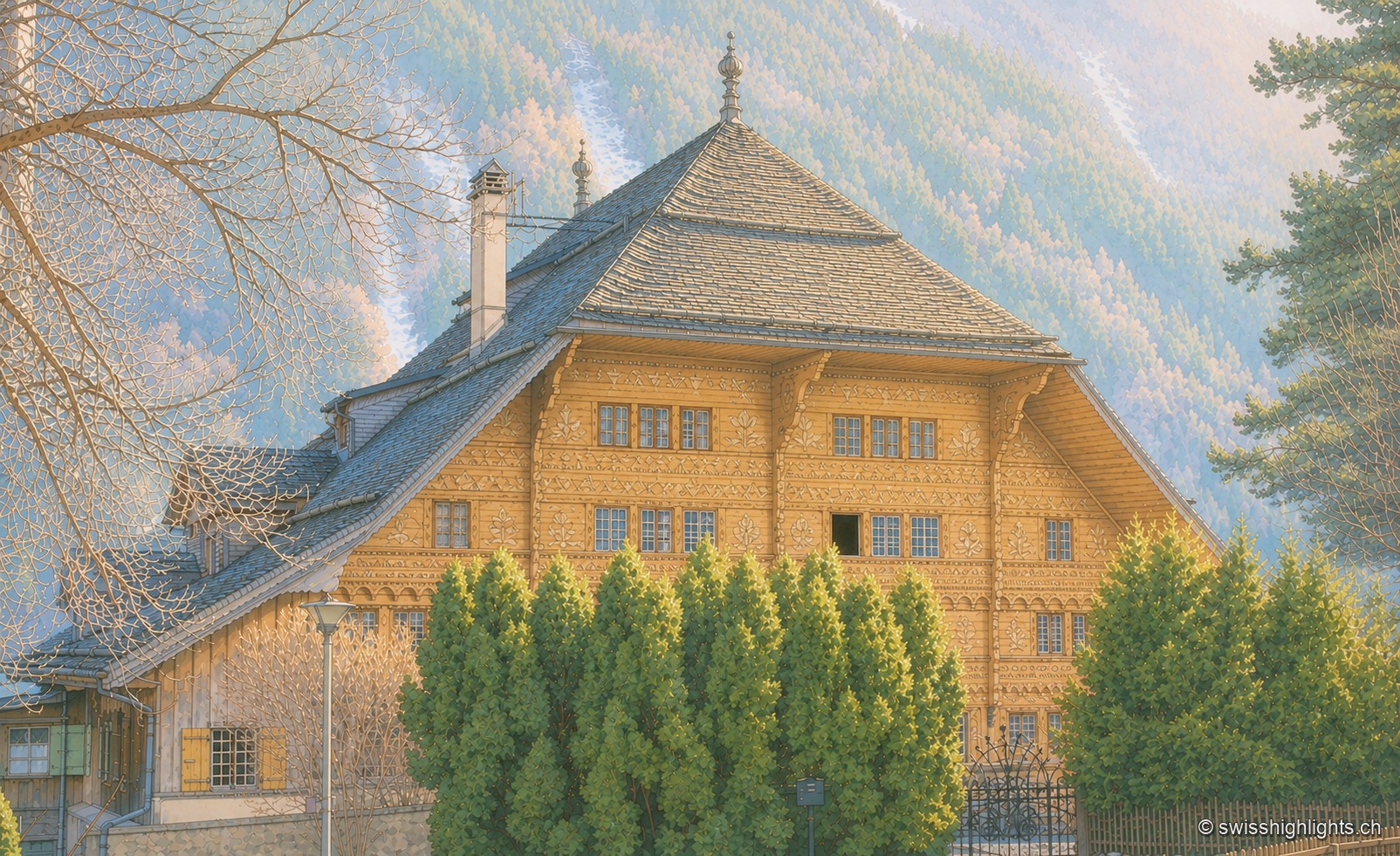
The Grand Chalet of Rossinière, a vast brown wooden building with a grey roof of wide sloping panels, its façades pierced by rows of windows with yellow shutters, surrounded by fir trees against a mountain backdrop.

Village in the Pays-d'Enhaut · Vaud

Rossinière

The Grand Chalet, 113 windows built for David Henchoz between 1752 and 1756, housed the painter Balthus until his death in 2001. Rossinière has 499 residents at the end of 2024; its population grew 4.1% since 2010, against 18.6% in Vaud.
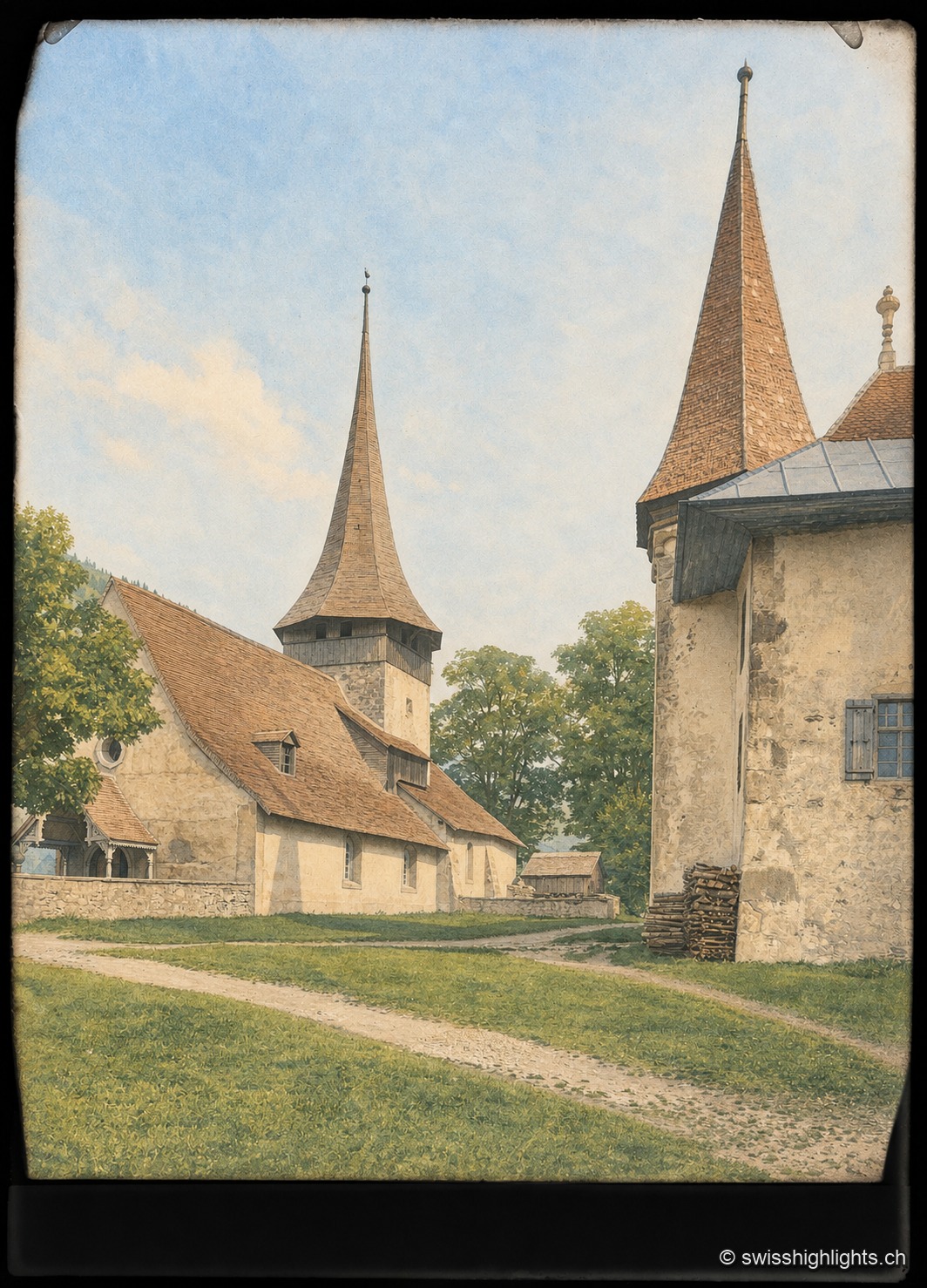
The Romanesque church of Rougemont: the octagonal bell tower, with its sawtooth cornice and pointed spire, rises above the brown-tiled nave, adjoined by a neighbouring farm building, under a pale blue sky.

Pays-d'Enhaut village · Vaud

Rougemont

Founded around 1073-1085 around a Cluniac priory, Rougemont keeps an 11th-century Romanesque church and chalets with carved façades; a member since 2017 of the Most Beautiful Villages of Switzerland.
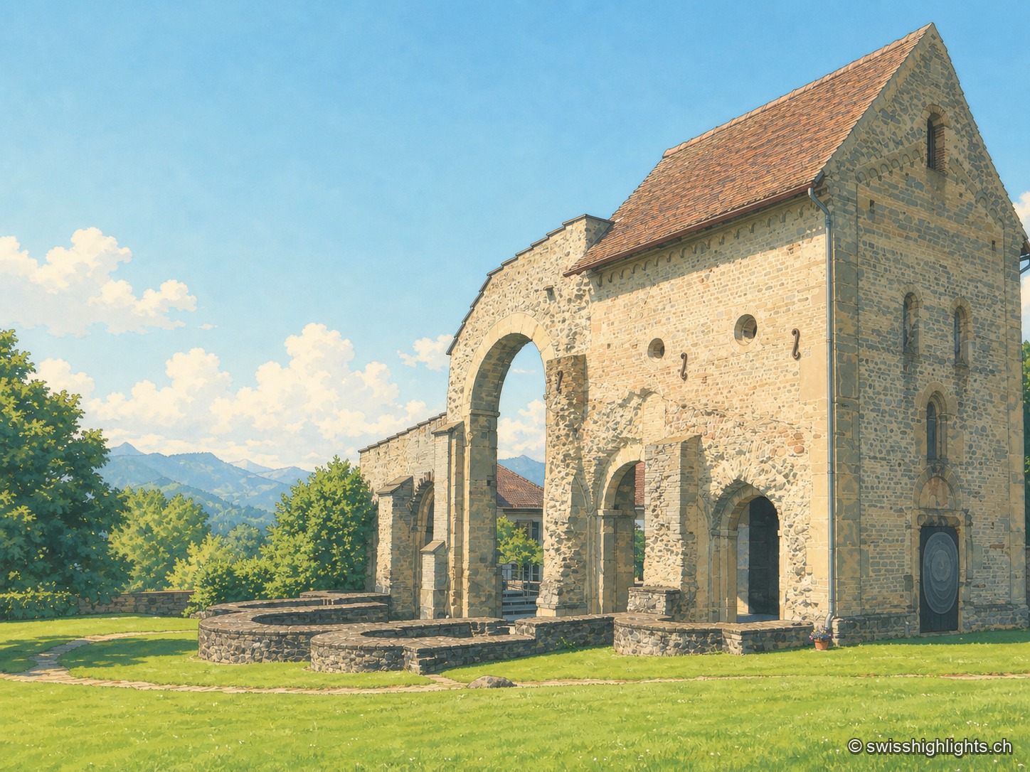
The stone remains of Rüeggisberg priory, Romanesque arcades and wall sections standing on a green lawn, with wooded hills on the horizon under a blue sky.

Village and Cluniac priory · Bern

Rüeggisberg

Founded around the mid-11th century by two monks sent by Abbot Hugues de Cluny, the priory of Rüeggisberg, attested as early as 1075, was never completed to its planned five-apse design before being suppressed in 1484.
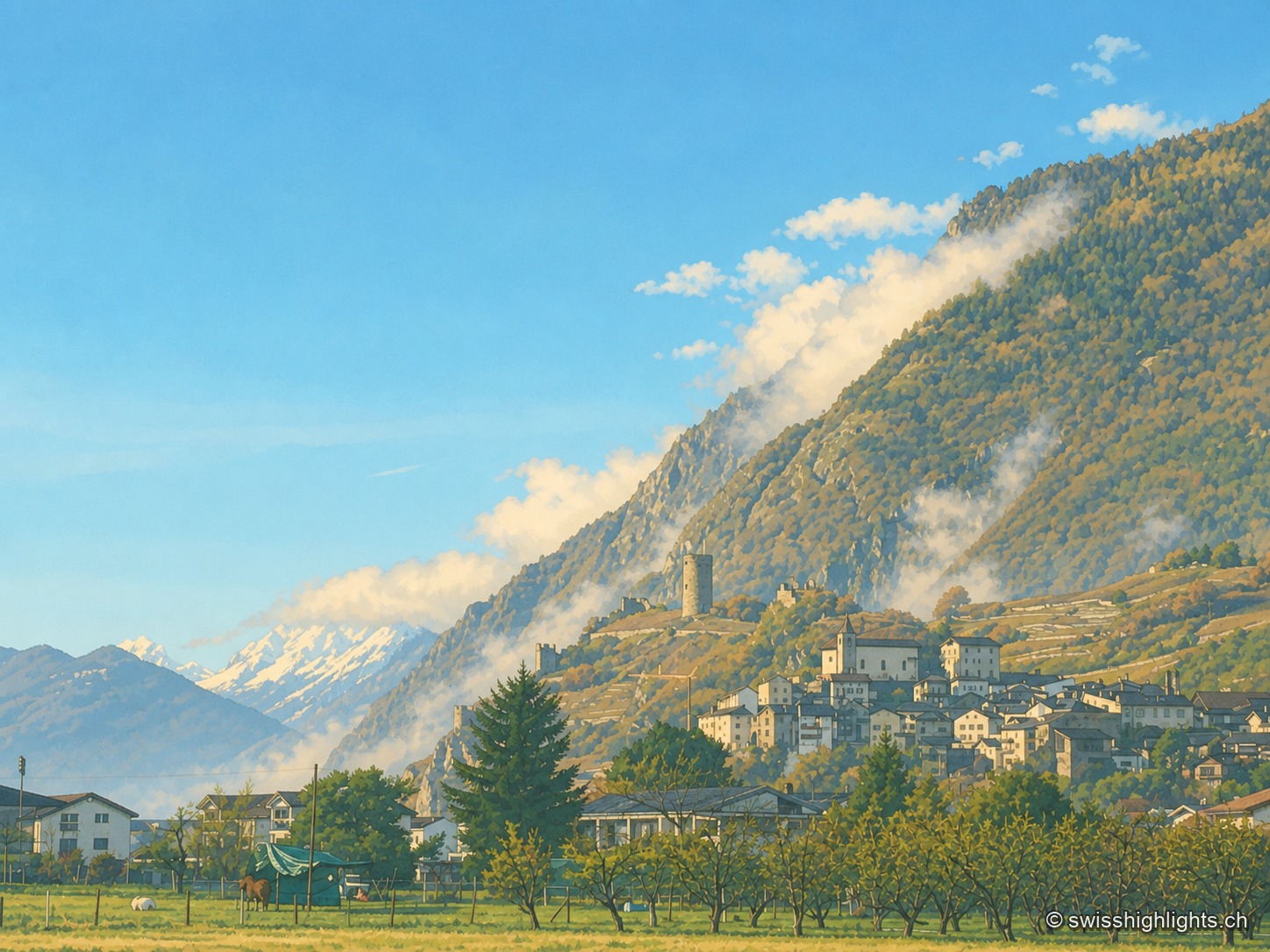
The medieval village of Saillon clinging to its hillside, dominated by its round tower, with the snow-capped peaks of the Valais Alps outlined behind clouds, above orchards and vineyards.

Medieval town · Valais

Saillon

The keep stands outside the walls: the castle hill was too narrow to take it. Below, the quarry yielded from 1873 a banded marble that Charles Garnier had laid in the Paris Opera the following year.
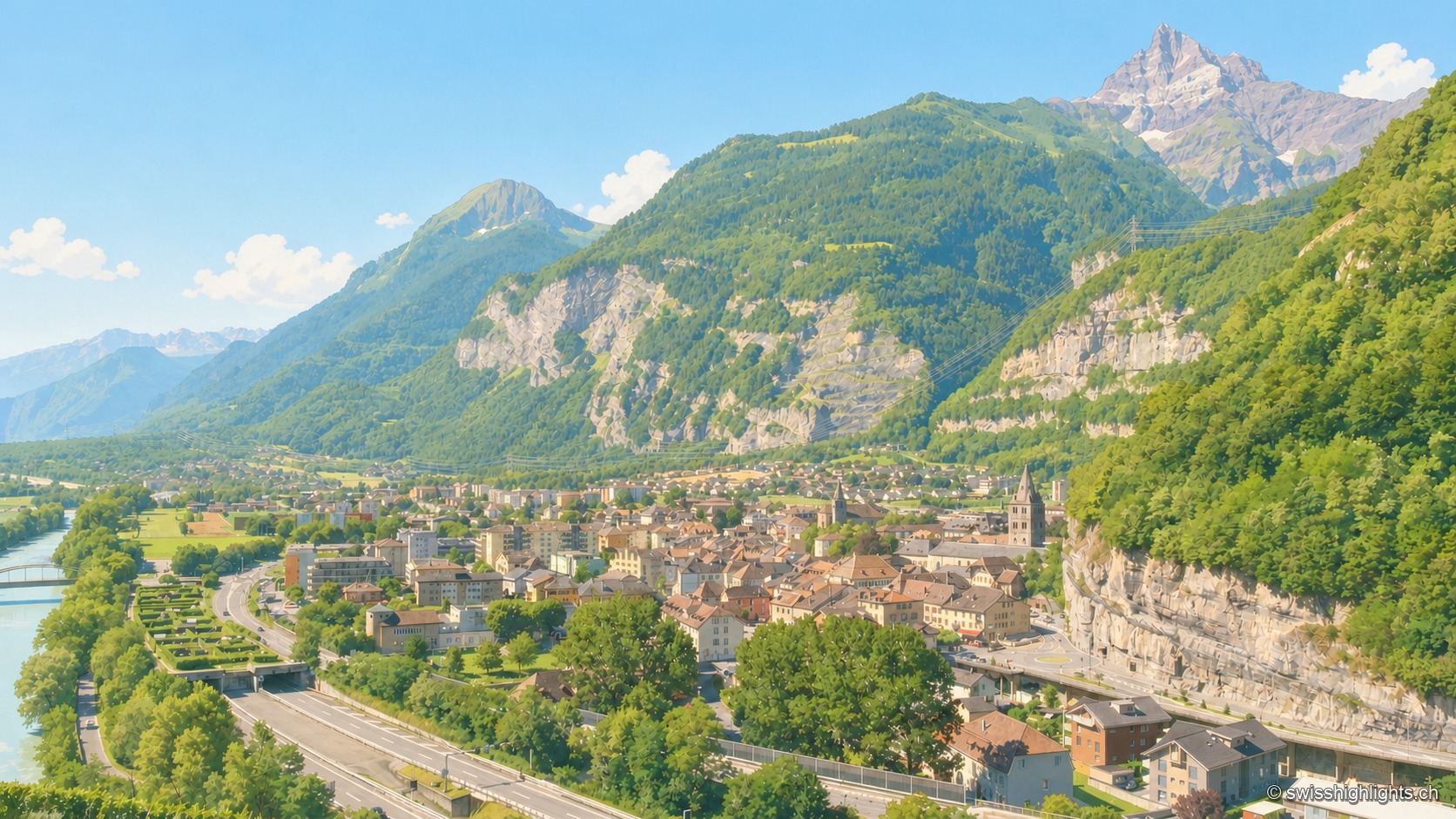
Elevated summer view of Saint-Maurice, taken from a high point to the south: the town occupies the narrow plain between the emerald-green Rhône, bordered by grassy embankments on the left, and a steep limestone cliff on the right, pierced by a road tunnel; at the center, the bell towers of the abbey and the town stand out among the roofs; in the distance, under a clear blue sky, a sharp rocky peak — the Dents du Midi — dominates the valley.

Lock on the Rhône · Valais

Saint-Maurice

A stage on the Via Francigena recorded as early as 990, locked by the Château des Gouverneurs and its 12th-century bridge over the Rhône, the town burned down in 1693 before planting, first in Valais, a liberty tree in 1798.
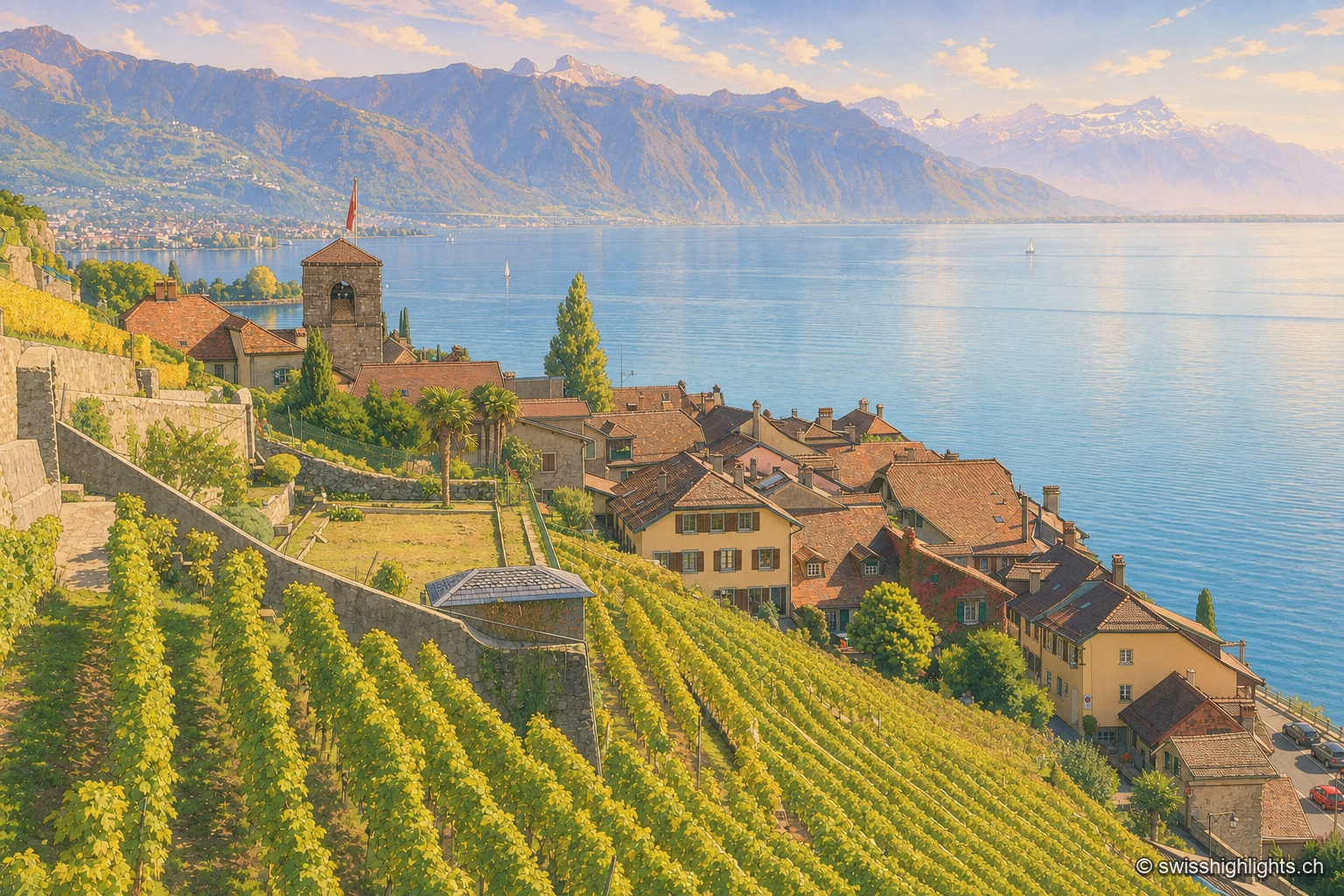
The village of Saint-Saphorin nestled between the terraced vineyards of Lavaux and Lake Geneva, gathered around its church bell tower, with the Alpine range rising in the background beyond the lake.

Wine village · Vaud

Saint-Saphorin

The original village, at the water's edge, was destroyed by the Tauredunum landslide in 563. Rebuilt higher up, it gathered around a church raised between 1517 and 1521, whose floor still covers Roman remains.
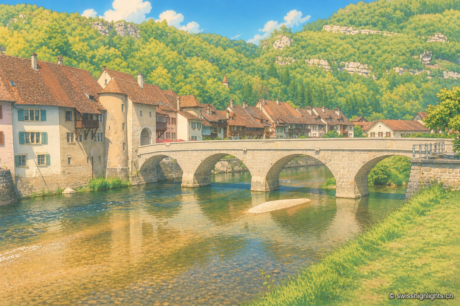
The medieval multi-arched bridge of Saint-Ursanne spans the green waters of the Doubs, in front of the tiled-roof houses and tower of the old town, set against a wooded hillside of the Jura.

Medieval small town · Jura

Saint-Ursanne

Born around a Benedictine abbey, it keeps its Romanesque collegiate church, its cloister and burgher houses from the 14th to the 16th century. At 440 metres, between wooded cliffs and river, it left its isolation only in 1877.
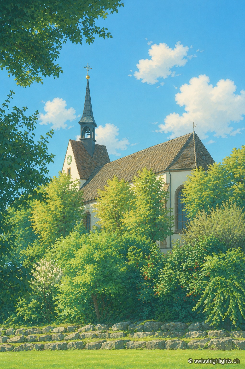
The Sankt Chrischona church seen through the foliage: its slender spire topped with a cross and its tile-roofed nave rise from a setting of lush green trees, under a blue sky dotted with clouds.

Religious site · Basel-Stadt

Sankt Chrischona

On the Dinkelberg, at 522 metres, the highest church in canton Basel-Stadt stands over a walled cemetery and mission buildings founded in 1840; its tower platform, up 71 steps, opens a panorama over the Vosges, the Black Forest, the Jura and the Alps.
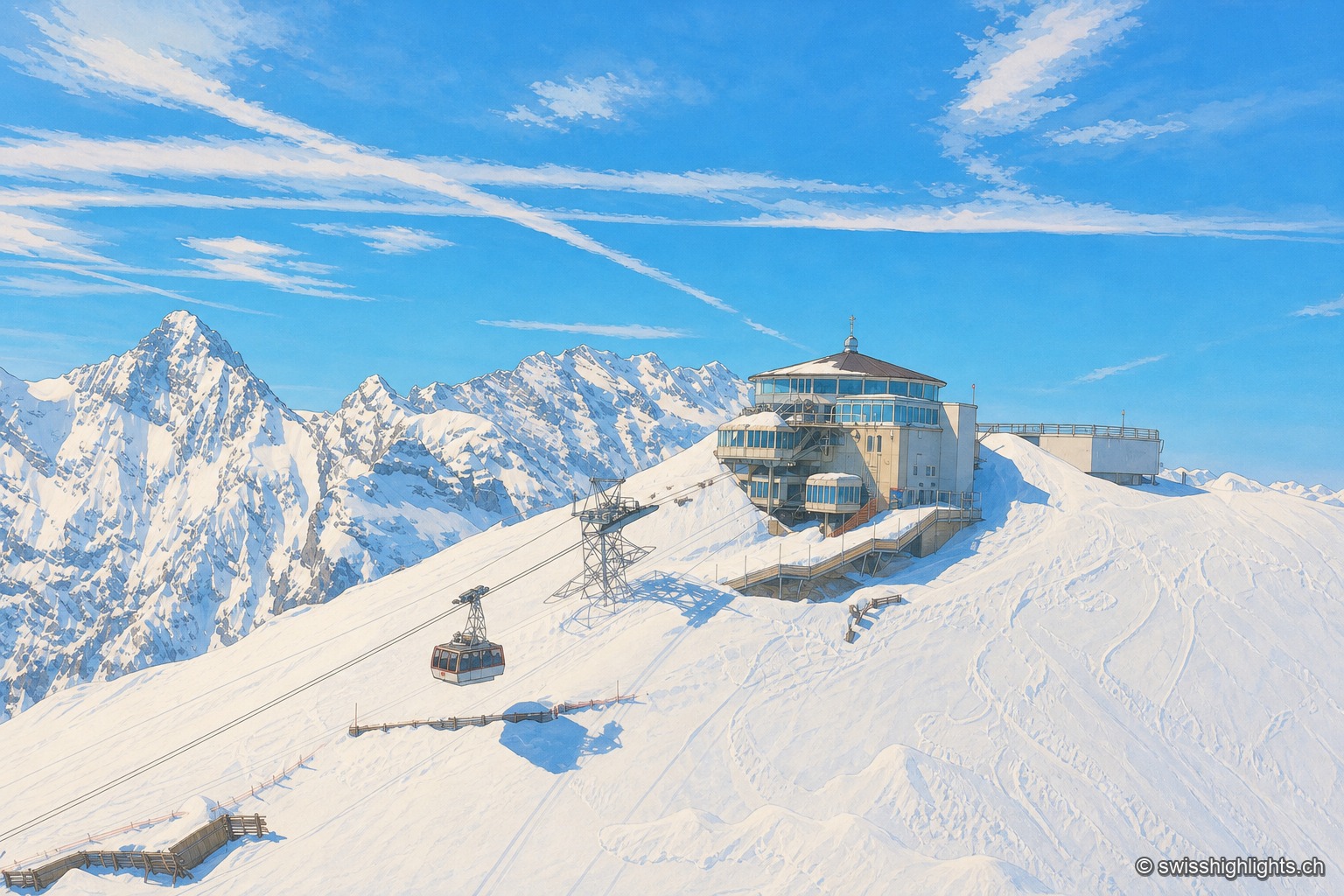
The snow-covered Schilthorn with the Piz Gloria panoramic station and its cable car, rising above a snowy ridge facing the Eiger, Mönch and Jungfrau range under a blue sky.

Summit · Bernese Alps

Schilthorn

No road reaches Mürren or the summit: getting there takes a chain of cable cars, via Gimmelwald and then Birg. The revolving Piz Gloria restaurant, which turns full circle in fifty-five minutes, served as the set for On Her Majesty's Secret Service.
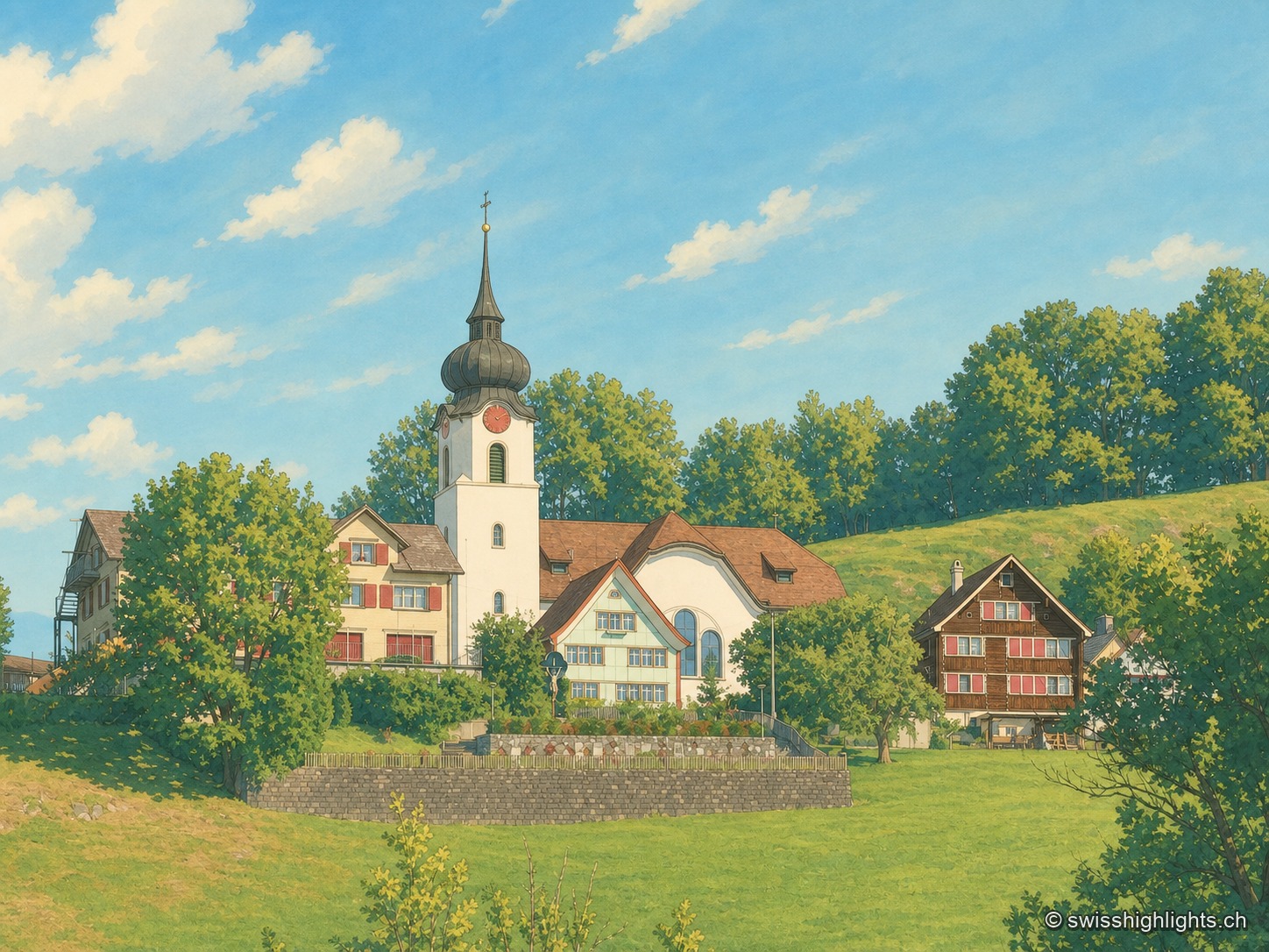
The village of Schlatt AI with its onion-domed church surrounded by traditional Appenzell houses, set on a lush green meadow.

Ridge village · Appenzell

Schlatt AI

The name is written around 1200, as Slatte, for a pasture on a slope. The road to Appenzell came only in 1898, and the church was consecrated on 12 June 1912. The site is listed in the ISOS inventory under number 0391.
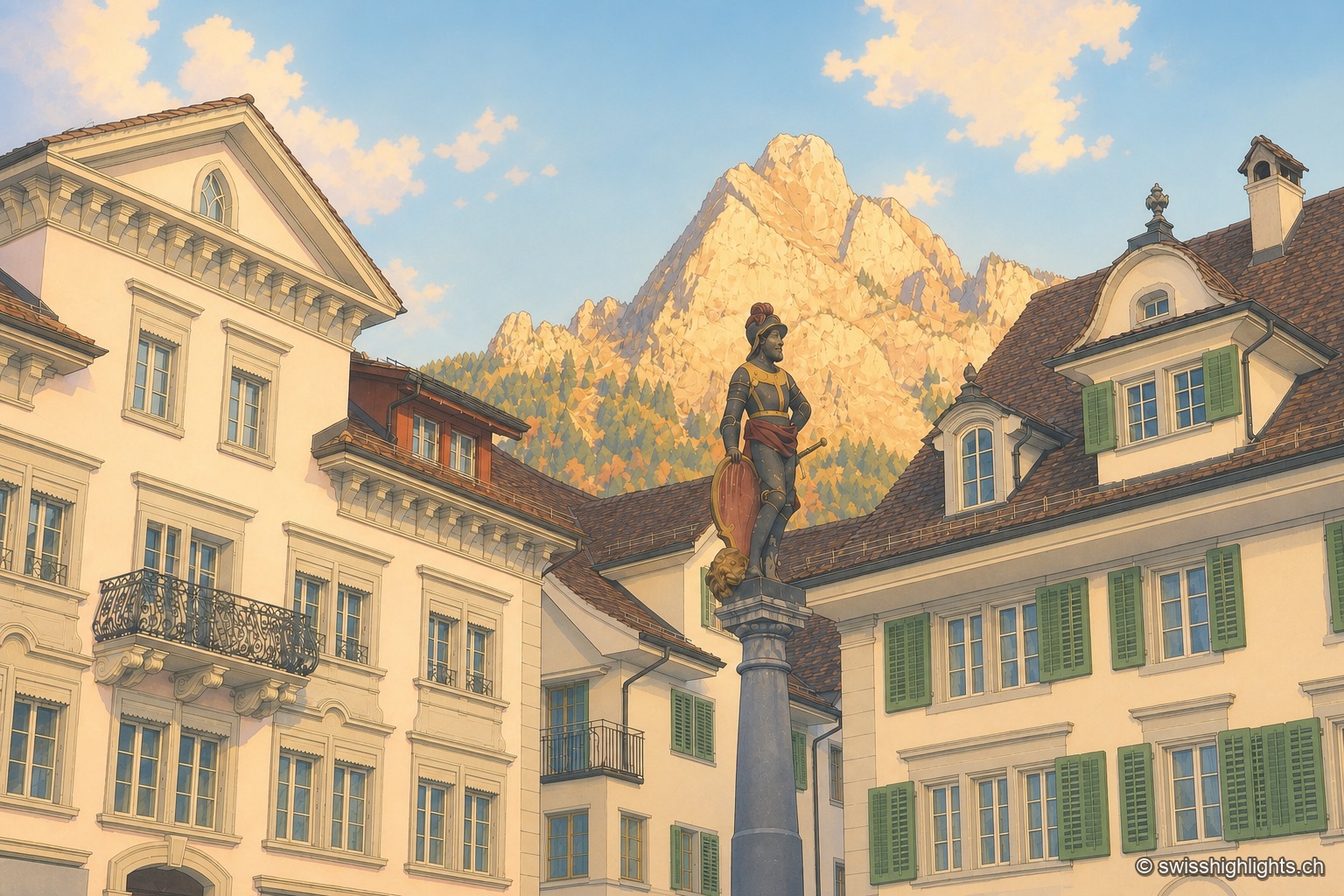
The historic square of Schwyz with its patrician houses and statue, dominated by the rocky Mythen peaks illuminated in the distance.

Capital below the Mythen · Schwyz

Schwyz

The main square, one of the finest baroque squares in Switzerland, lies at the foot of the Grand Mythen (1899 m) and the Petit Mythen (1811 m). Schwyz has housed the Confederation's earliest archives since 1291.
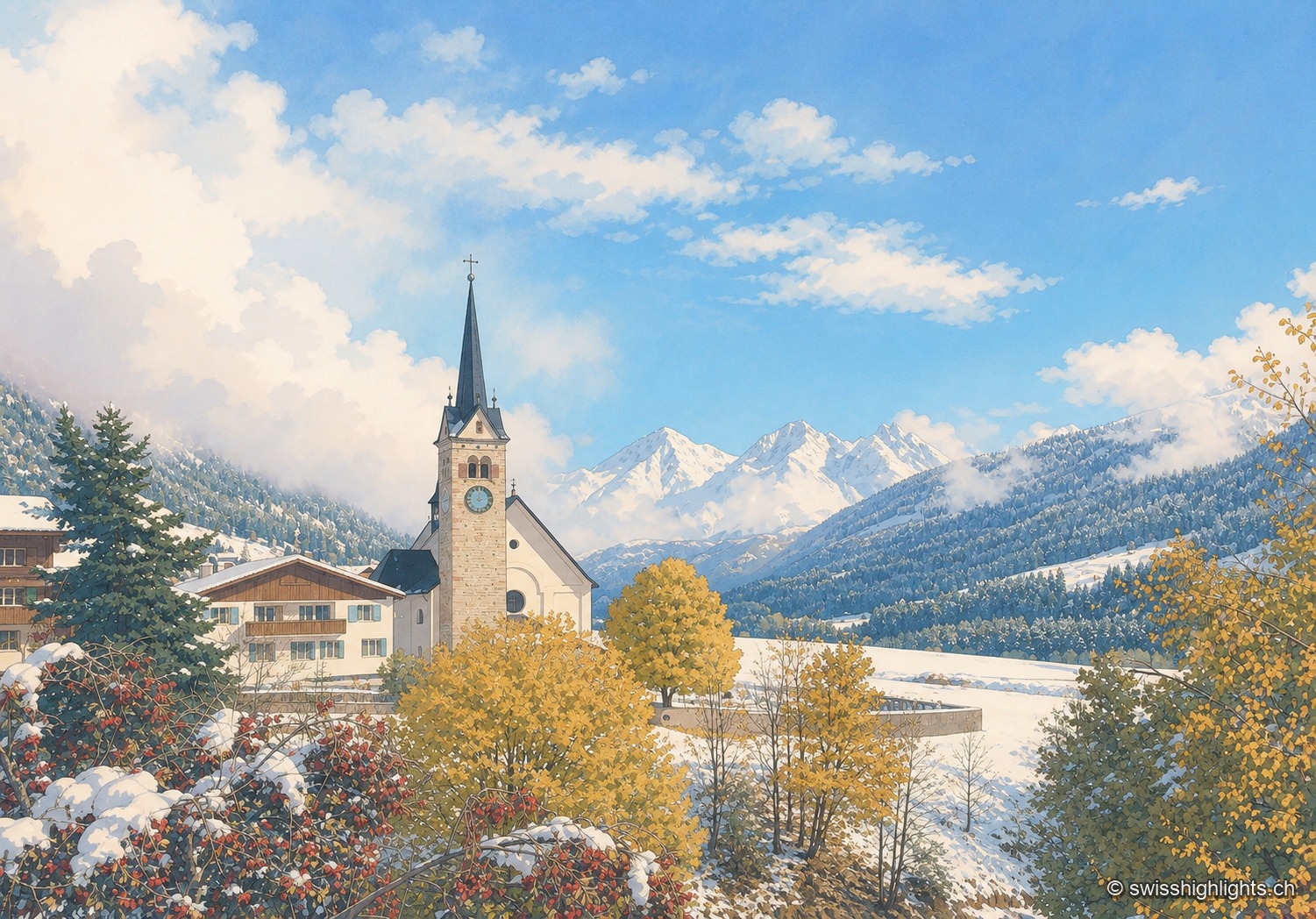
The church of Sedrun with its bell tower, surrounded by village houses and autumn larches, facing the snow-capped peaks of the Val Tujetsch.

Village · Surselva, Grisons

Sedrun

There has never been a village called Tujetsch: it was Sedrun, whose parish church was consecrated in 1205, that became the municipal capital. The Gotthard Base Tunnel runs beneath the municipality.
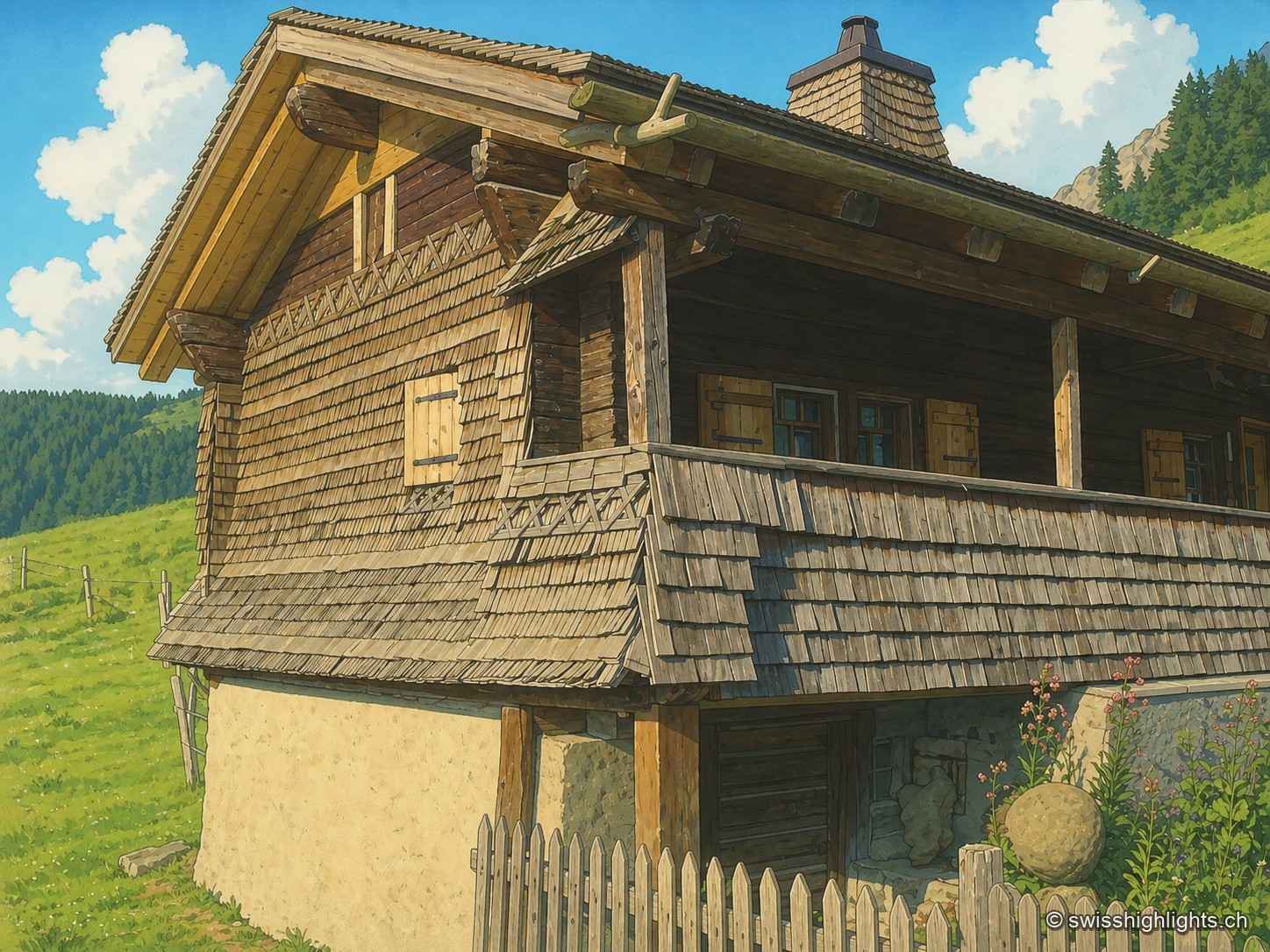
The Taveyanne alpine chalet, entirely clad in weathered grey wood shingles, with its gallery on posts and its whitewashed base, at the edge of a green meadow bordered by a wooden fence.

Alpine pasture hamlet · Vaud Alps

Taveyanne

The hamlet, attested from 1270, burned down with Gryon in 1719; 57 chalets were rebuilt, of which about thirty remain. Not connected to the power grid, it is listed in ISOS and protected by a nature-reserve covenant signed by the commune in 1970.
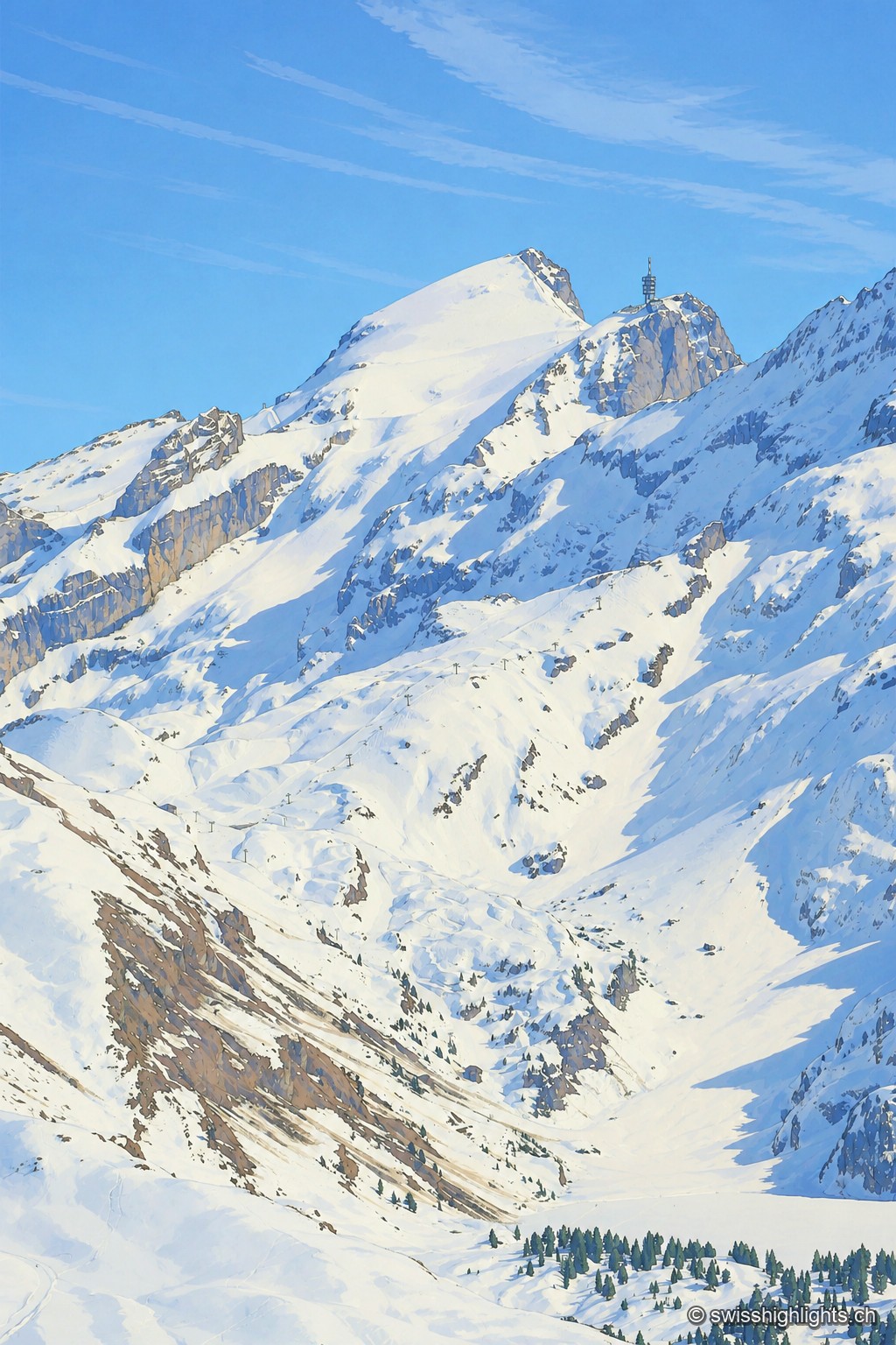
The snow-covered summit of the Titlis rises as a white point against a blue sky, extended to the right by a rocky spur crowned with an antenna tower; below, snowfields and rock walls overlook a wide basin of snow crossed by a ski lift.

Summit · Obwalden–Bern

Titlis

The Titlis reaches 3,238 metres at the end of an east–west limestone ridge. A glacier of 1.7 square kilometres covers its summit area; the upper cable-car station stands at 3,020 metres.
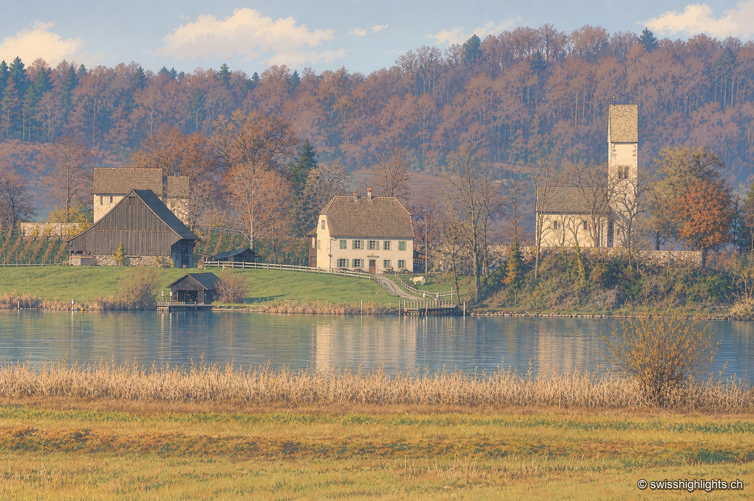
On the shore of Lake Zurich, a dark half-timbered barn and a white manor house stand next to the Romanesque tower-porch of Ufenau church, surrounded by trees in autumn colors and reeds in the foreground.

Monastic island · Lake Zurich

Ufenau

Otto I gave the island to Einsiedeln Abbey in 965. The church of Saints Peter and Paul was consecrated in 1141. Knight Ulrich von Hutten died here in 1523. In 2012, the site's protected status blocked a restaurant by Peter Zumthor.
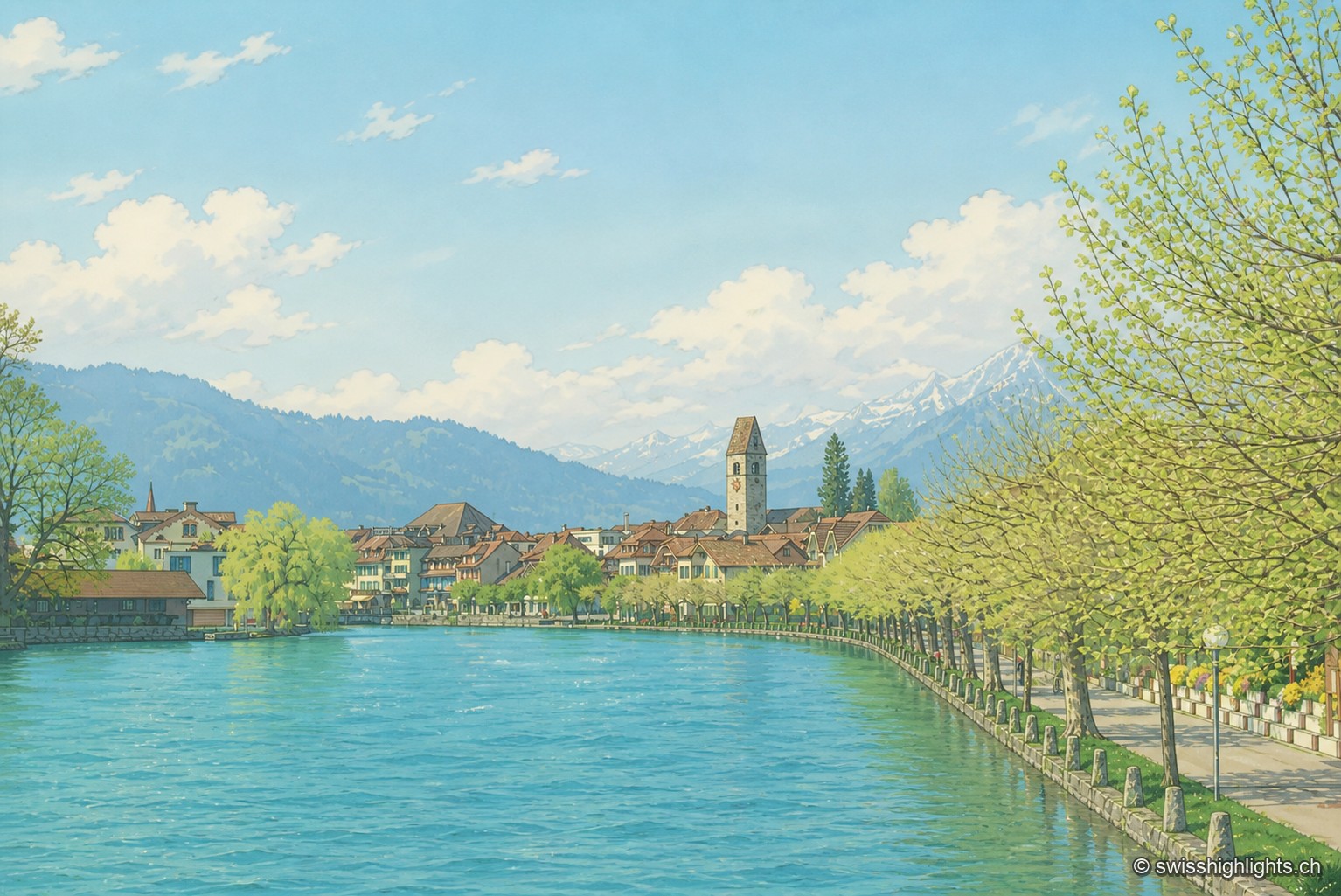
Along the turquoise waters of the Aare, the houses of Unterseen line up behind a row of trees, overlooked by the church bell tower, with the snow-covered peaks of the Bernese Oberland on the horizon.

Bödeli town · Bern

Unterseen

Built on the north bank of the Aare facing Interlaken, Unterseen burned in 1364 and again in 1470; Bern had it rebuilt around a central town house. Its log façades date from the seventeenth to the nineteenth century.
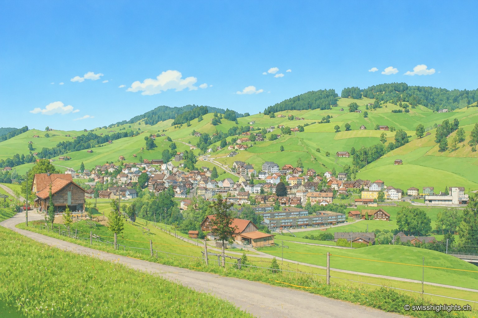
The village of Urnäsch occupies a rolling stretch of green meadows, with an Appenzell farmhouse with a broad red roof in the foreground and wooded hills on the horizon.

Appenzell village · Ausserrhoden

Urnäsch

First recorded in 831, Urnäsch became an autonomous parish in 1417, then, after the 1597 cantonal split, the first of the six Rhoden of Appenzell Ausserrhoden. Weaving, then embroidery, supported generations here.
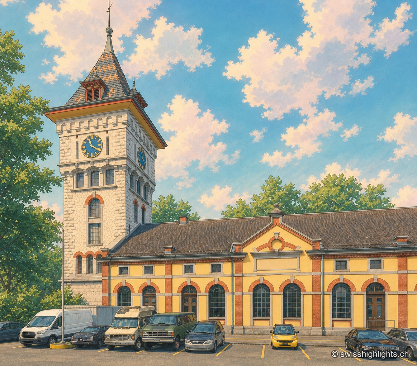
The clock tower of the former Gaswerk Schlieren power station, built of pale stone with a conical roof of orange and grey diamond tiles and two visible clock faces, rises above the yellow-and-brick hall of the neighbouring Kraftcentrale; the sky is blue, dotted with large white clouds, and a few cars are parked in front of the building.

Former gasworks · Zurich

Schlieren Gasworks

Opened in 1898 and expanded through 1909, the Schlieren gasworks produced up to 250,000 m³ of gas a day before closing in 1974. Its gasometer now houses a museum and a working steam engine.
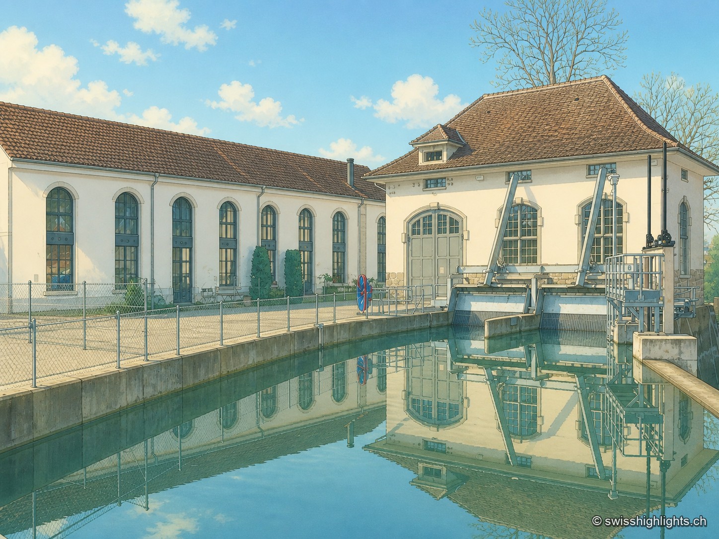
The industrial building of Lorzenweid, with its white façade of arcaded windows and hipped roof topped by a small bell turret, is reflected together with the neighbouring turbine house in the calm waters of the canal, under a blue sky with white clouds.

Former mill on the Lorze, ISOS site

Lorzenweid industrial site

The complex sits on the Lorze, whose hydraulic power once drove the mill's turbines; the weir of the Hagendorn power station survives on the river, alongside a road bridge and a wooden bridge.
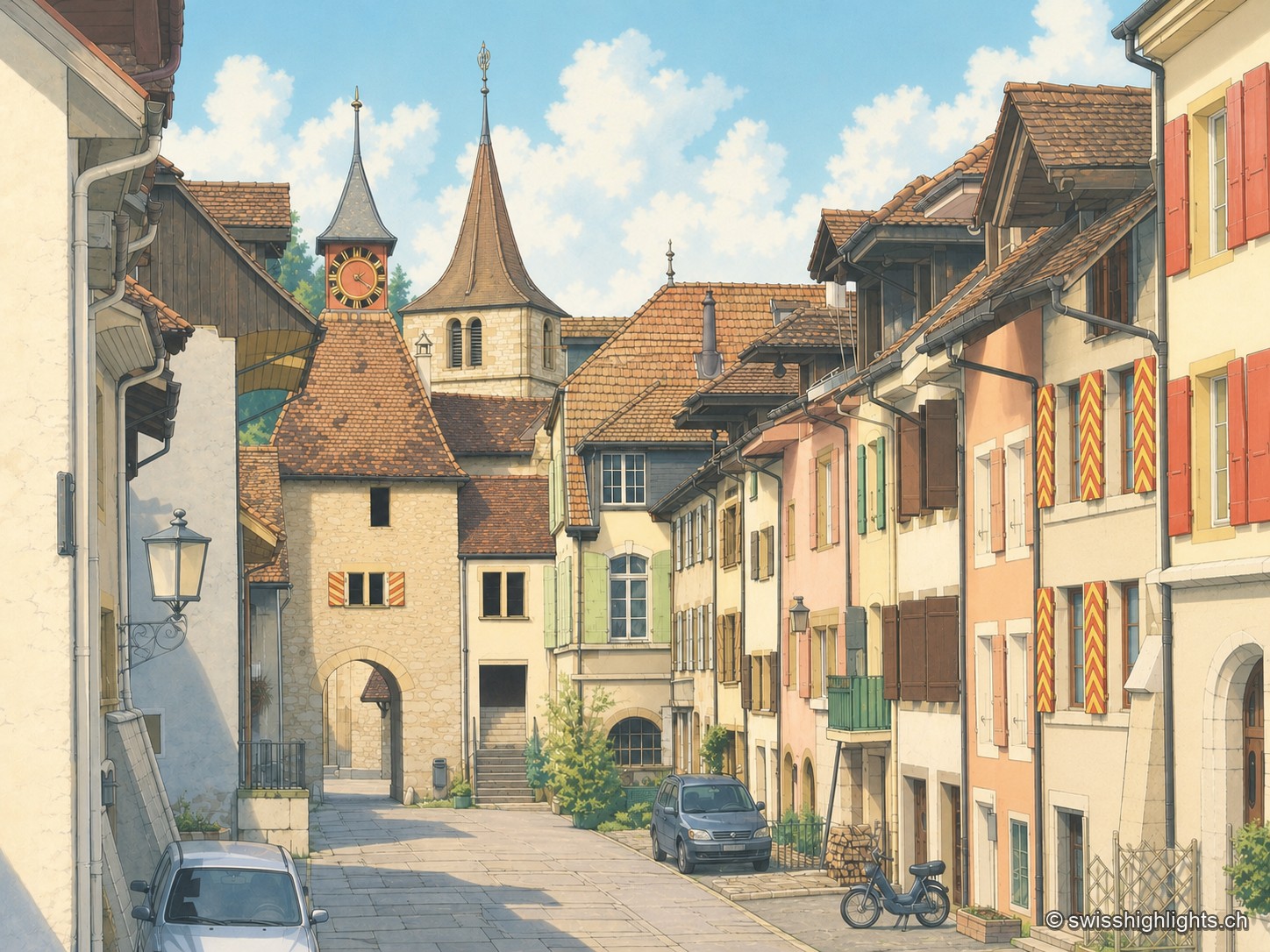
A street in the old town of Valangin, lined with cream, white and beige facades with red shutters; at the far end stand the pointed-roofed gate tower bearing a clock and the slender bell tower of the collegiate church, while a car and a cyclist travel along the cobbled roadway.

Village · Neuchâtel

Valangin

The castle holds the rock that commands the passage; the bourg was founded below it around 1330, the collegiate church consecrated in 1505. In 1853 the beds described here gave their name to the Valanginian.
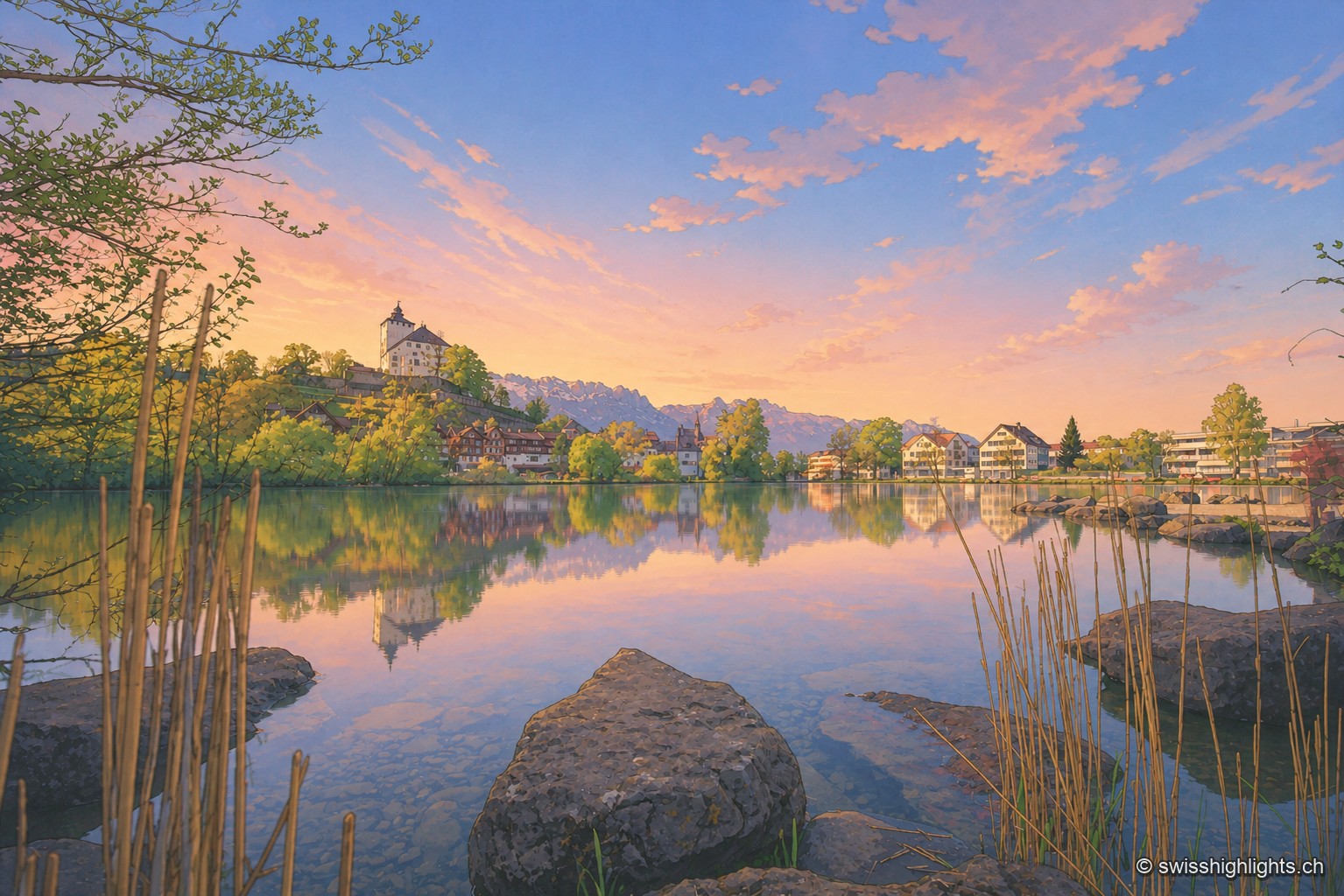
Lake Werdenberg at dusk, its calm waters reflecting a pink and orange sky; in the distance on the shore, the castle can be glimpsed among the trees and the rooftops of the town, with reeds and rocks in the foreground.

Fortified town · St. Gallen

Werdenberg

Market rights here are attested since 1289. The county of Werdenberg changed hands several times before being sold to Glarus in 1517; it joined St. Gallen in 1803. The castle has hosted a festival since 1985.
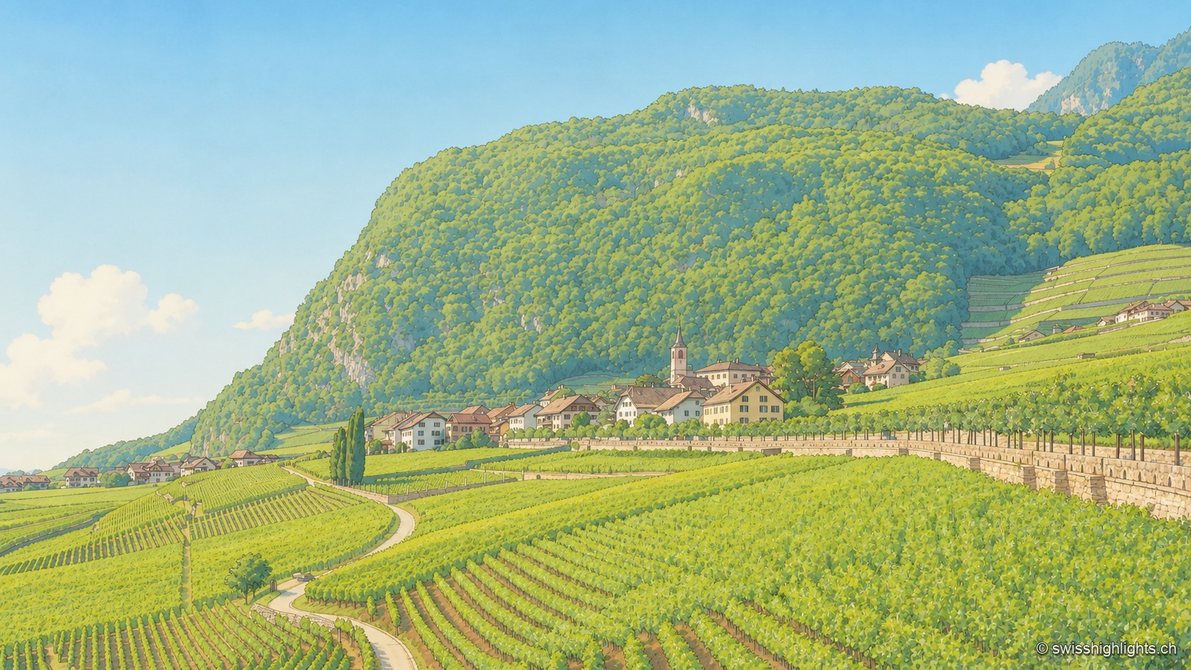
Rows of terraced vines cover the hillside in the foreground, leading to the village of Yvorne nestled at the foot of a rounded, wooded hill, seen from the Ciclet viewpoint under a blue sky with a few clouds.

Wine village · Vaud

Yvorne

A rockslide destroyed the village in 1584; rebuilt further east from 1607, it planted its vines on the rubble. The Truchefardel quarry, active from the 17th century to 1921, supplied the marble for Lausanne's town hall in 1674.
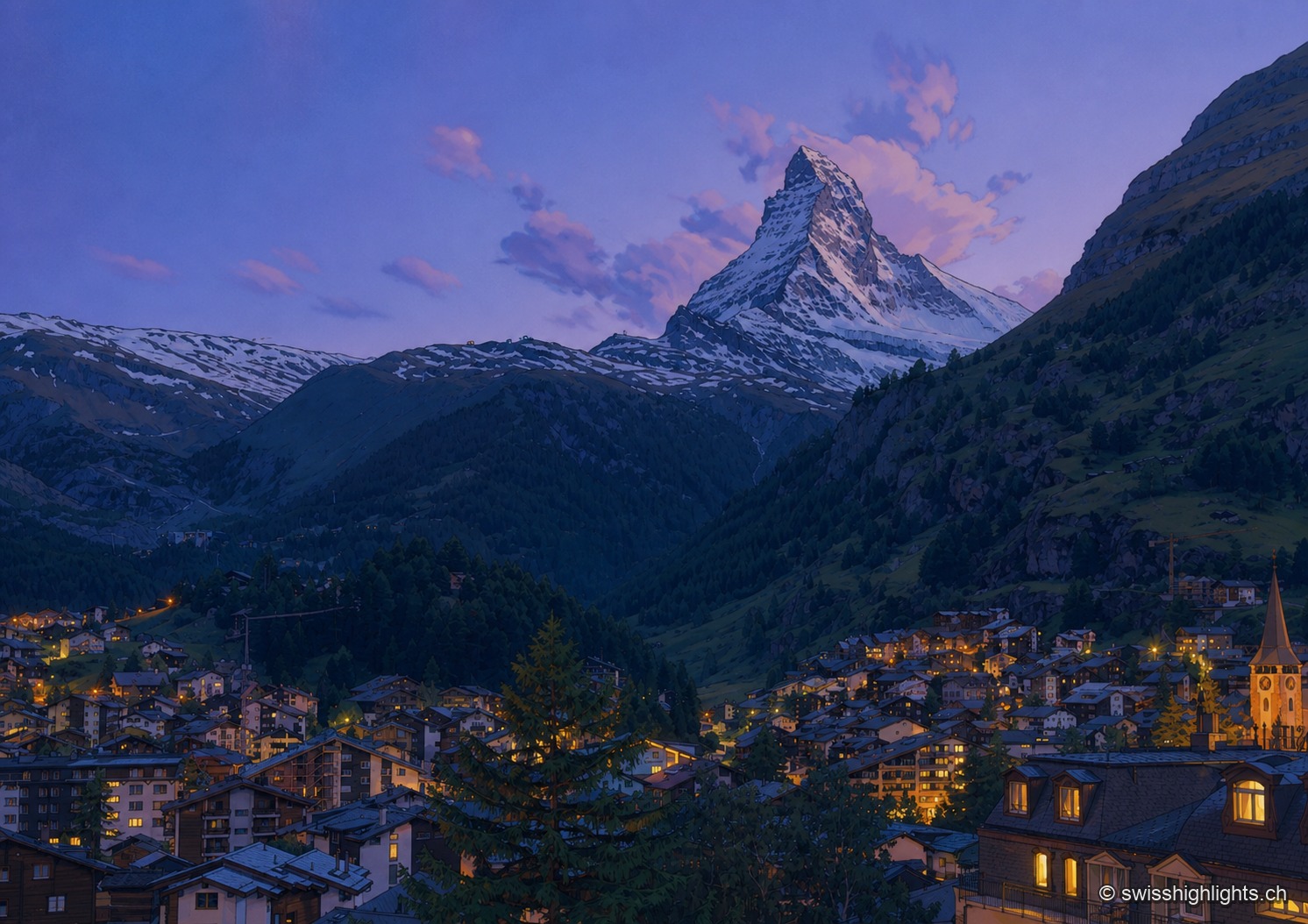
At dusk, the snow-covered pyramid of the Matterhorn rises, still lit with a pinkish white, between dark, wooded slopes; below, the lights of the village of Zermatt sparkle in the hollow of the valley, a pointed steeple standing out among the roofs and fir trees.

Mountain village · Valais

Zermatt

A village at 1,620 metres at the end of a valley closed off by ice. Cars have been kept out since the votes of 1972 and 1986, and 85.2% of the communal territory remains unproductive.
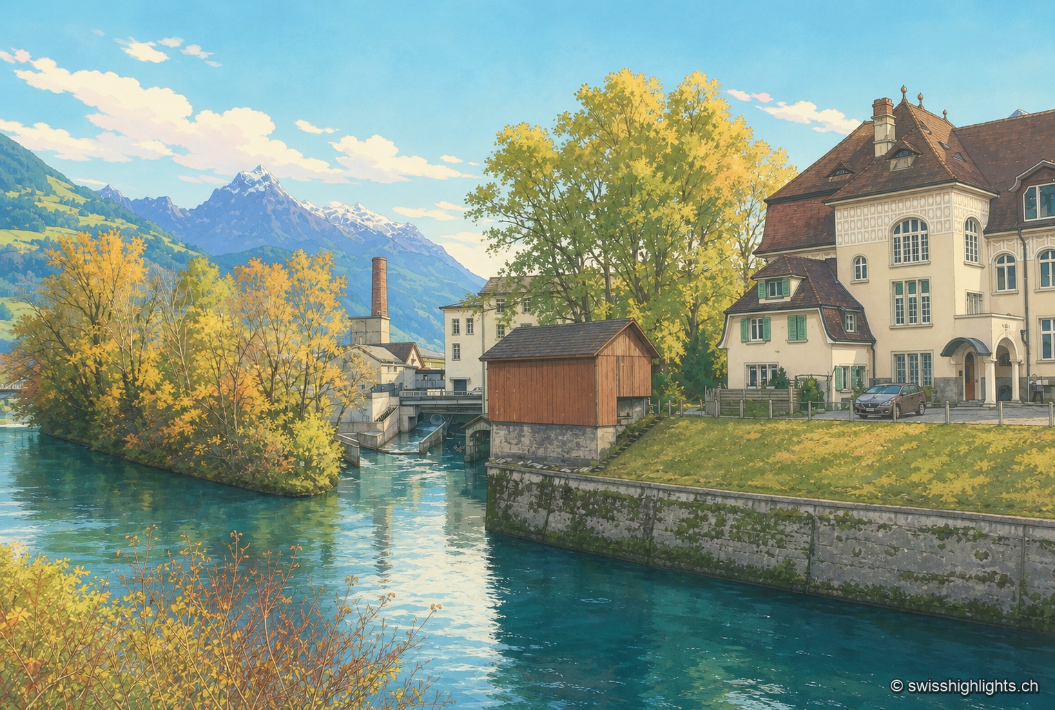
A turquoise-watered river winds between a left bank lined with autumn-foliaged trees, with an industrial chimney and a small bridge, and a right bank occupied by a large pale building with a brown roof; snow-capped peaks stand out in the distance under a clear blue sky.

Village split by a canal · Glarus/SG

Ziegelbrücke

The Linth Canal splits Ziegelbrücke in two: station and railway junction on the St. Gallen side, the Fritz & Caspar Jenny mill (1833), listed in the ISOS inventory, on the Glarus side.
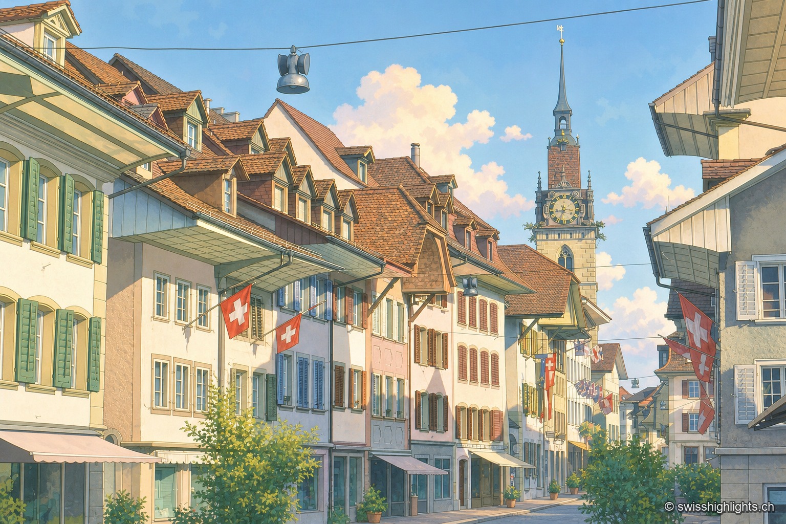
A cobbled street in the old town of Zofingen is lined with colourful gabled facades and shops; Swiss flags hang from the windows, and in the distance stands the clock tower of the church, under a blue sky with white clouds.

Medieval small town · Aargau

Zofingen

Founded by the Froburgs at the end of the twelfth century, the town narrowly missed the great railway junction, which formed at Olten instead. Ten of its monuments are cultural property of national significance.
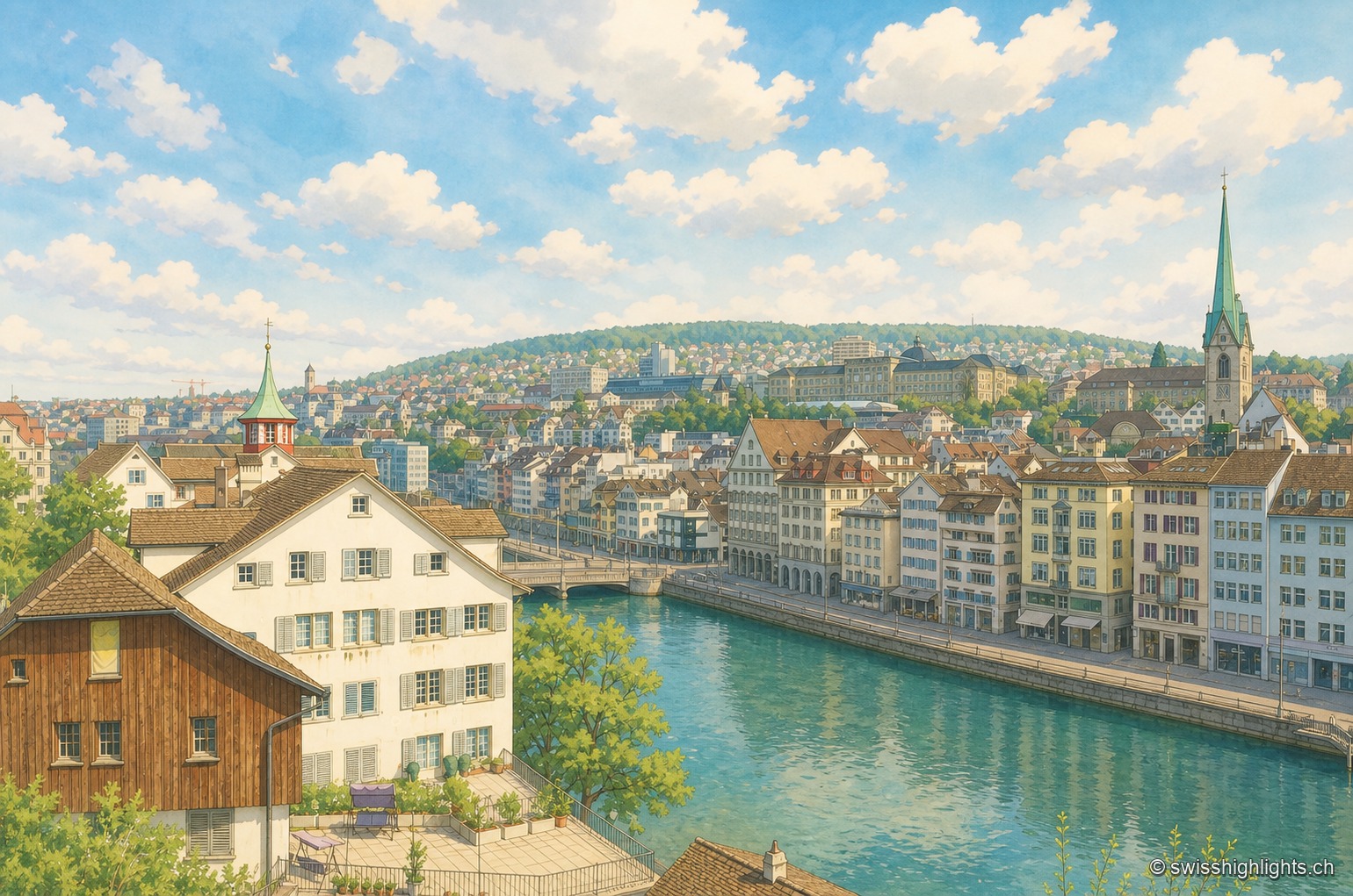
Along the emerald-green waters of the Limmat, the continuous facade of houses on the Zurich quay lines up on the right, with the church spires rising above the city in the background; in the foreground on the left, a large brown half-timbered building stands next to a white house, behind a metal railing running along the water.

Cantonal capital · Zurich

Zurich

433,989 inhabitants in December 2023, a river people swim across in summer, a 869-metre summit at the end of a train line: Zurich fits into a corridor three to four kilometres wide.